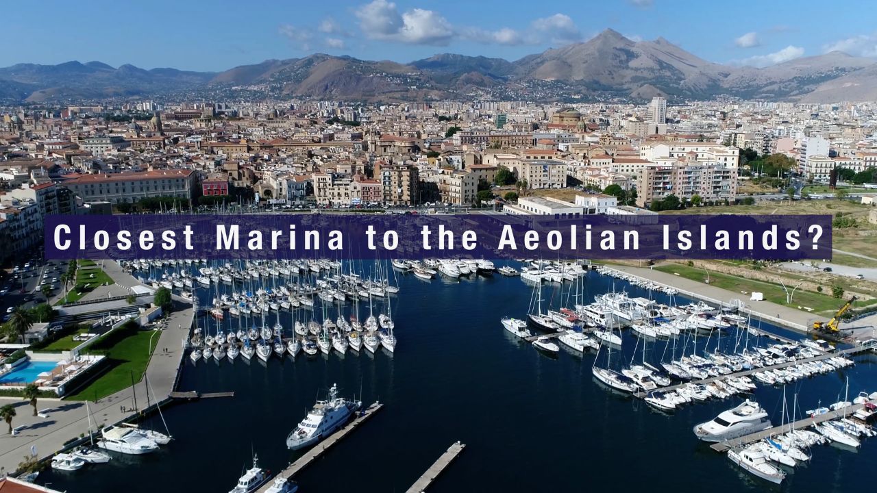
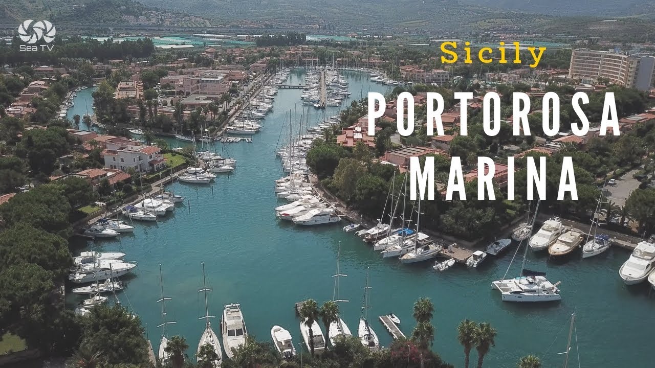
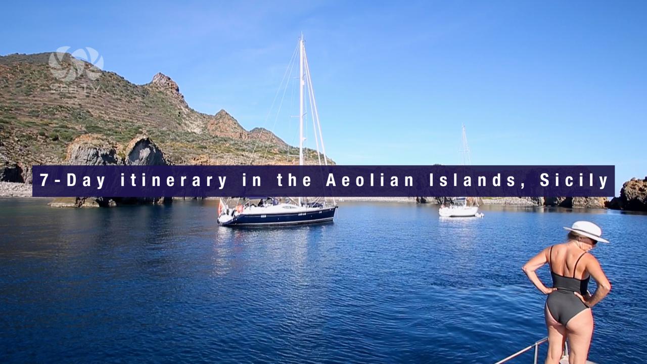
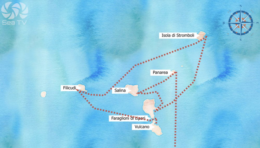
Some routes are planned. Others are lived. This is the story of our Aeolian circuit — Portorosa, Vulcano, Filicudi, Stromboli, Lipari, Salina, Panarea, and back — seven islands, seven days, and one day we didn’t plan at all.
The Route
| Day | Passage | Distance |
| 1 | Portorosa → Vulcano | 15 nm |
| 2 | Vulcano → Filicudi | ~35 nm |
| 3 | Filicudi → Stromboli | ~40 nm |
| 4 | Stromboli → Lipari | ~38 nm |
| 5 | Lipari (weather day) | 0 nm |
| 6 | Lipari → Salina | 10 nm |
| 7 | Salina → Panarea → Portorosa | ~50 nm |
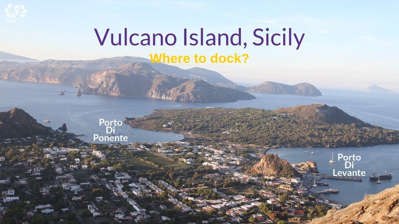
⛵ Day 1 — Portorosa to Vulcano: First Smell of Sulfur
We left Portorosa before the sun was properly up. The marina was quiet, the coffee was too hot to finish, and the forecast looked reasonable — a light Maestrale by afternoon, nothing alarming. The first fifteen miles from Sicily to Vulcano are the simplest passage of the whole circuit, and we wanted to bank the easy leg while we were still fresh.
Vulcano announces itself before you see it. The sulfur smell reaches the boat a mile out — a sharp, rotten-egg warning that this place operates by its own rules. We anchored at Porto di Levante on the north coast, 5–10m on sandy mud, well clear of the ferry turning area. By midday the bay was filling fast with excursion boats.
We took the dinghy ashore and walked straight to the Laghetto di Fanghi — the famous mud baths. The thermal pool sits 28°C year-round, a grey-brown soup of sulfurous clay that smells considerably worse than it looks. Ten minutes is the recommended maximum. We stayed twelve. By the time we swam in the sea to rinse off, our swimsuits had taken on a faint yellow tint that never fully washed out. Worth it.
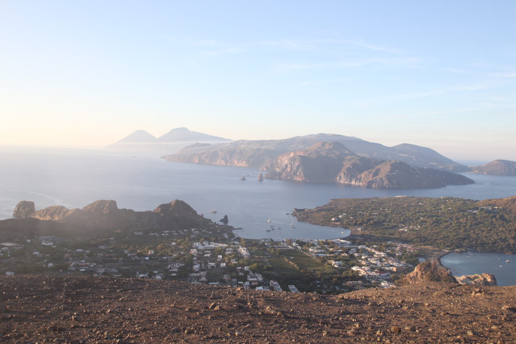
In the afternoon we hiked to the Gran Cratere della Fossa — 391m, about three hours round trip. The summit fumaroles were working hard, the yellow sulfur crust around them an almost unnatural colour against the black volcanic rock. From the rim: all seven Aeolian Islands arranged across the sea below us, Stromboli a dark cone on the northern horizon. We had no idea yet what that island had in store.
That night we ate in the village — fresh grilled swordfish, local wine, the smell of sulfur still faintly in the air. We slept well. The next day was going to be a long one.
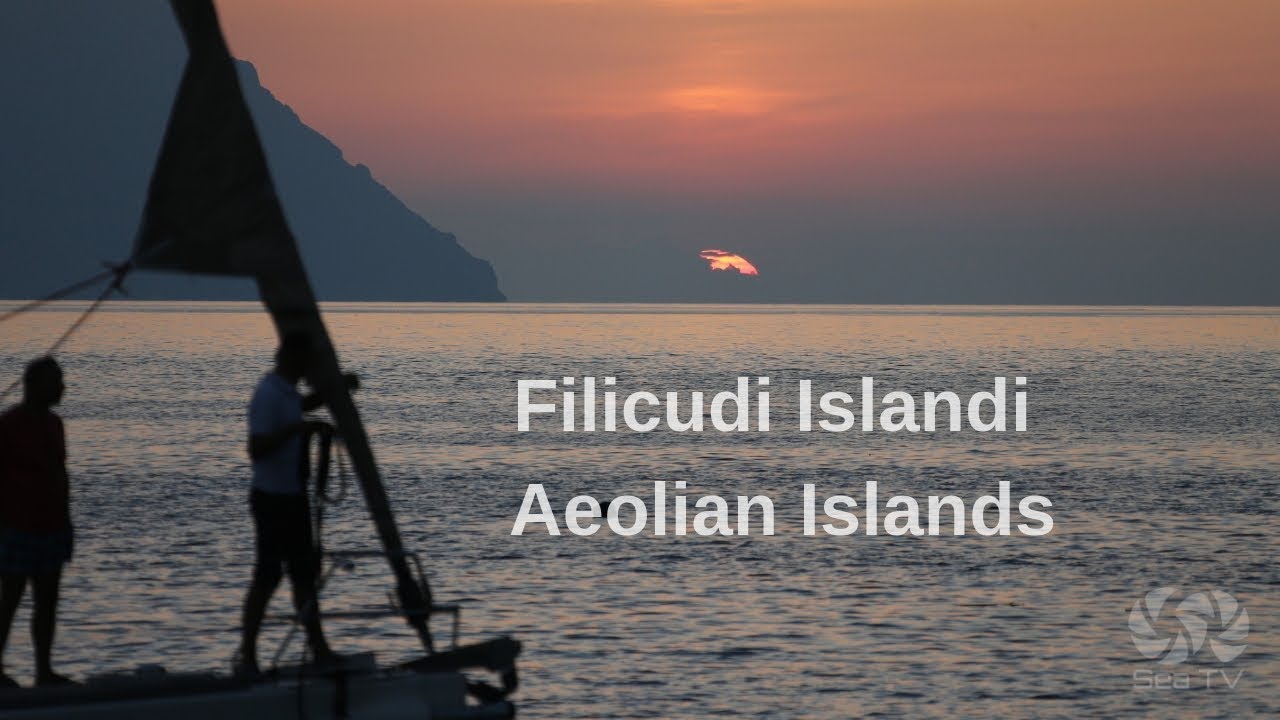
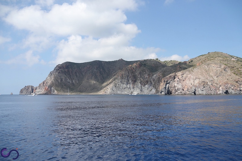
⛵ Day 2 — Vulcano to Filicudi: The Quiet One
Thirty-five miles west to Filicudi, past Lipari and Salina — islands we were saving for later. We passed close enough to see Salina’s two volcanic peaks and the green that gives it its reputation, then pushed on into the open water west of the archipelago. The wind was with us, the boat moved well, and by early afternoon we were rounding Filicudi’s eastern cape.
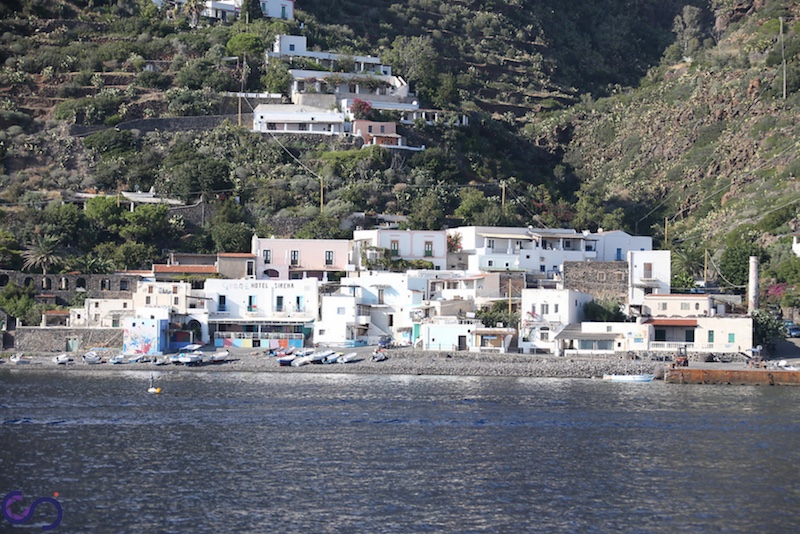
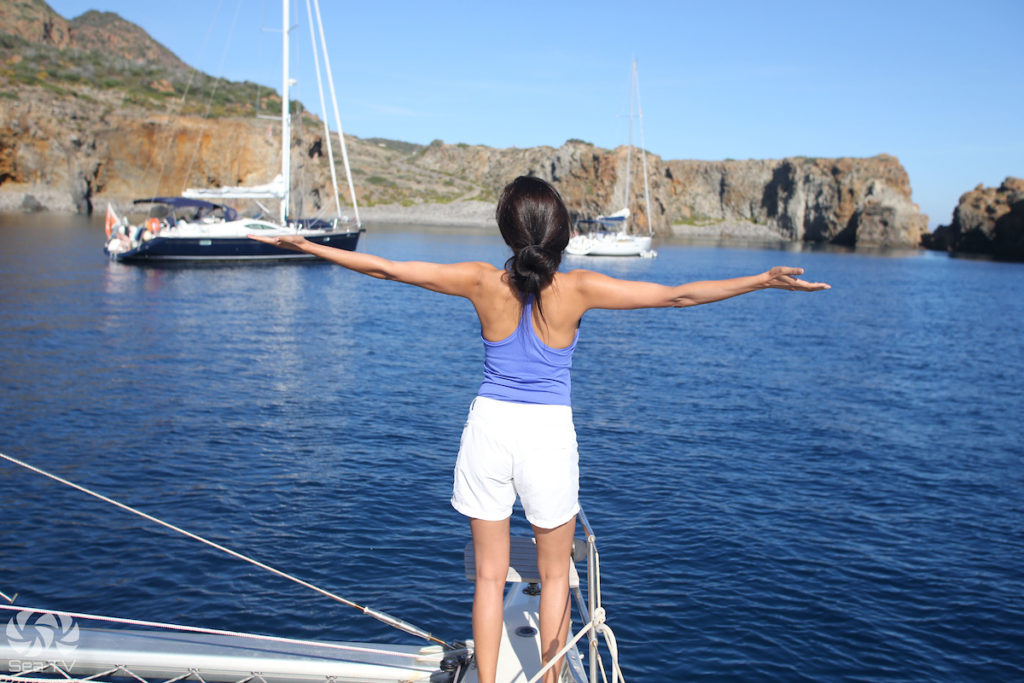
Filicudi is the island the brochures barely mention. No ATMs, no banks, one small hotel, one restaurant that closes in September. We anchored at Pecorini a Mare on the south coast — mooring buoys in front of a small fishing village of colourful boats and low stone houses. The water was the clearest we had seen all year.
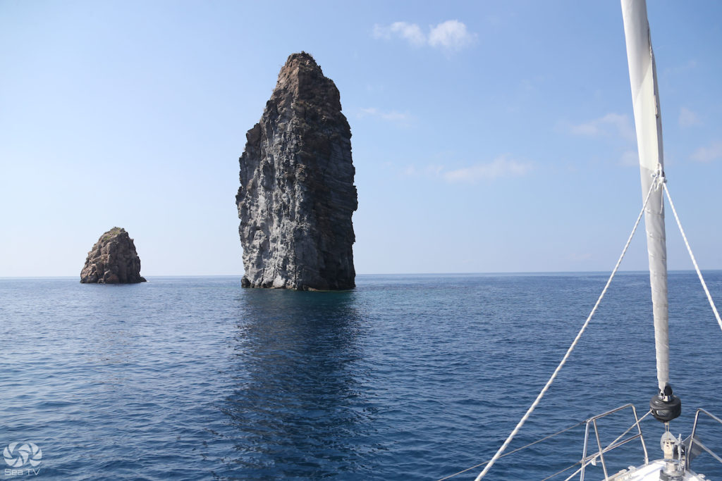
We spent the afternoon doing the west coast circuit by dinghy. The Grotta del Bue Marino — the Sea Ox Cave — is the largest sea cave in the Aeolians: 30 metres wide, crystalline blue water inside, the light reflecting off the ceiling in shifting patterns. The name comes from the sound the sea makes when it surges against the rock — a low, resonant bellow, like an animal. You understand it the moment you hear it.
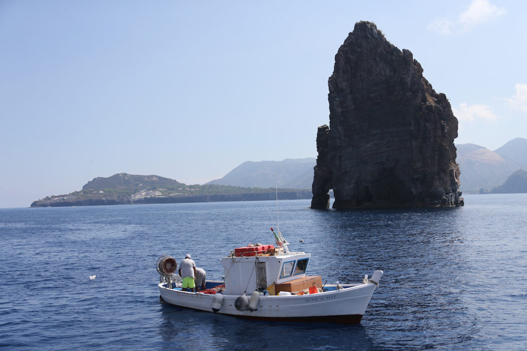
Then La Canna — a solitary basalt column 70 metres high rising straight from the sea, alone and improbable, like something left behind by a different geological era. Legend says that touching it grants wishes. We brought the dinghy close. The crew touched it.
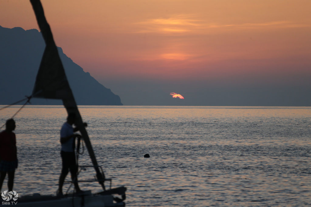
That night, at anchor off Pecorini, we turned off every light on the boat. No street lighting on Filicudi. The Milky Way was not a vague suggestion — it was a physical presence across the whole sky. On the northern horizon, just visible, Stromboli pulsed orange. Once. Then again. A slow, rhythmic heartbeat.
Nobody spoke for a while.
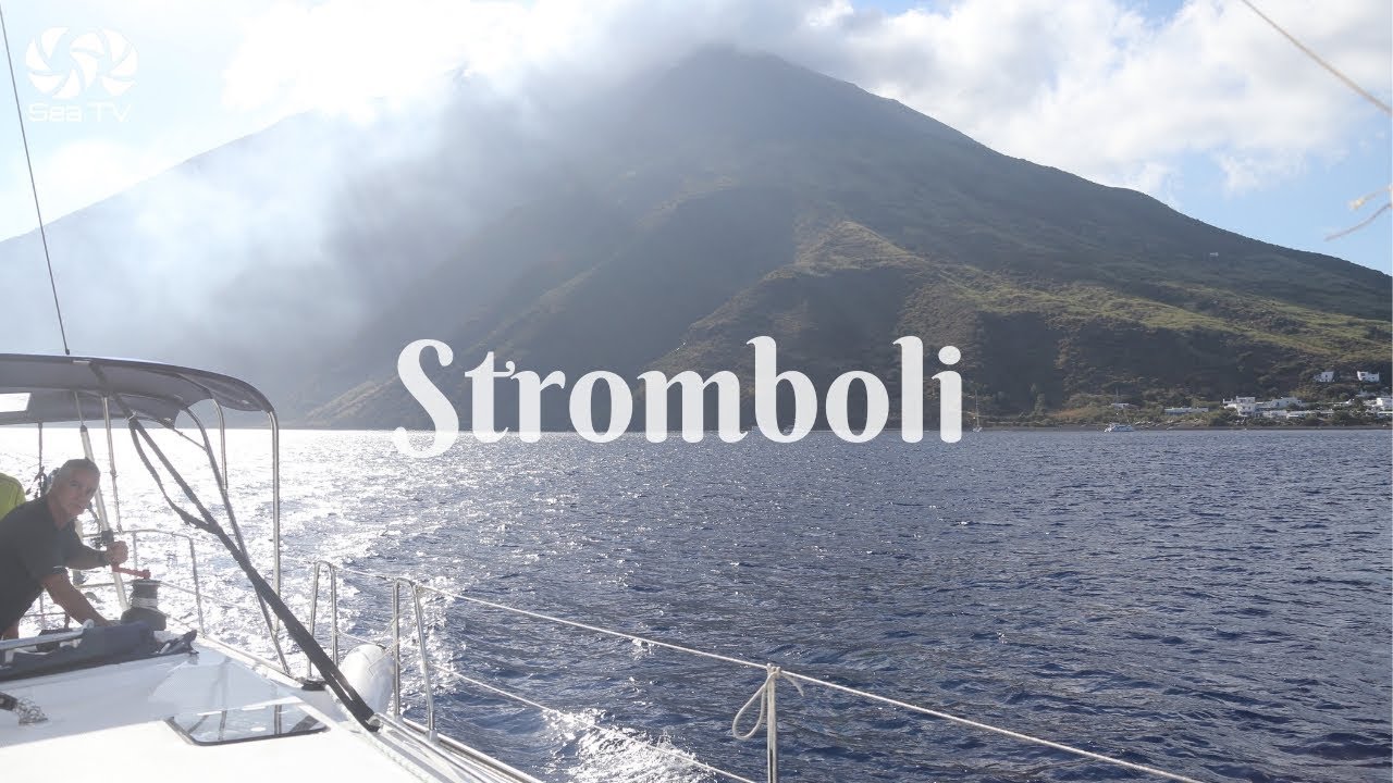
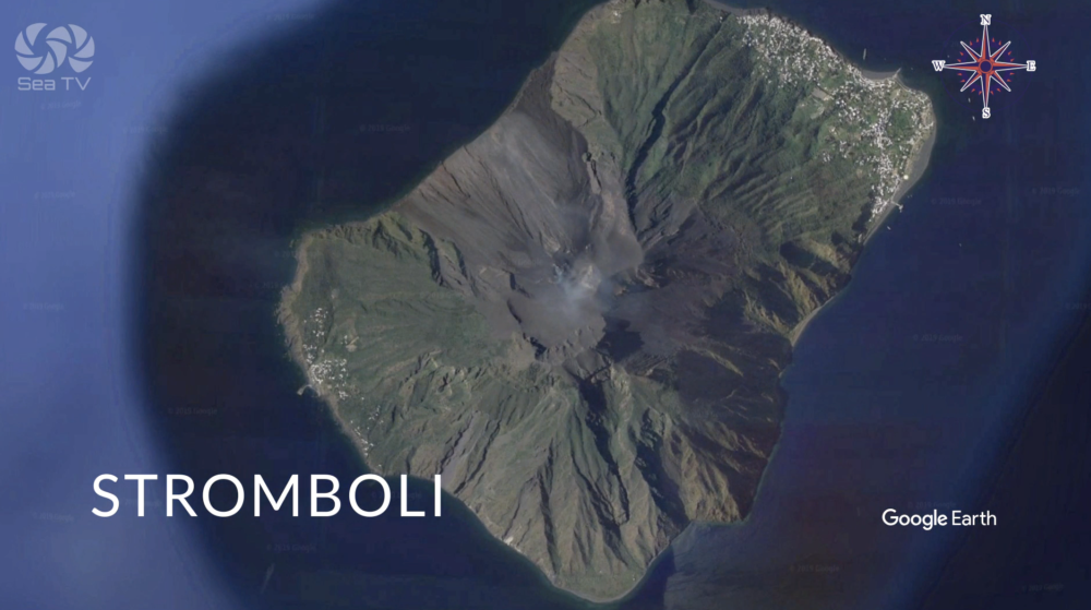
⛵ Day 3 — Filicudi to Stromboli: The Lighthouse
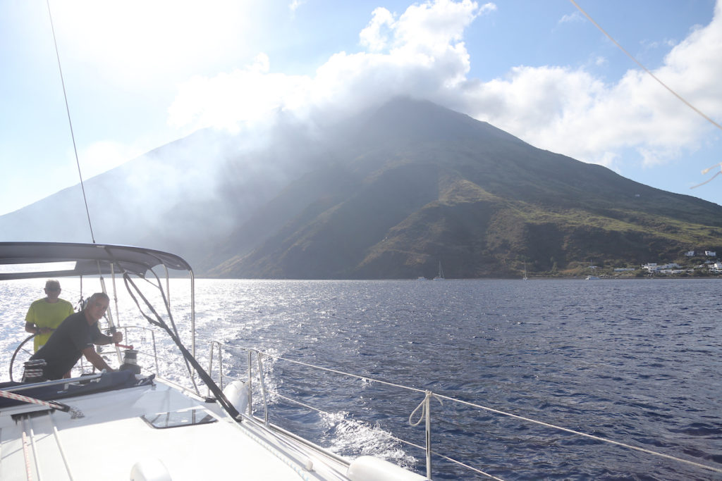
Forty miles northeast. The longest day’s passage of the week, but also the most cinematic. We sailed past the western tip of Filicudi and watched La Canna recede behind us. Then open water, the whole arc of the archipelago to our right, Stromboli growing from a dark smudge into a proper volcanic cone as the hours passed.
Stromboli has been erupting continuously for over 2,000 years. Ancient sailors called it the Lighthouse of the Mediterranean. You understand why the moment you approach at night — but even by day there is something about the island that operates at a different register to the others. It is darker. More serious. The white houses of the village at the base of the volcano look slightly too small against the black cone above them.
We anchored at Scari — picked up a buoy north of the ferry pier — and went ashore immediately to find a guide for the crater hike. Daily visitor numbers are limited. We got the last two places on the late afternoon excursion.
The hike takes about five hours return. It starts in the afternoon heat and ends in the dark. The guide provided helmets. At the crater rim, 924 metres up, the three active vents were throwing incandescent rocks forty or fifty metres into the air every ten to twenty minutes — whomp, a deep hollow sound, and then a spray of glowing orange against the night sky. We stood there in our helmets, ash drifting down, not quite believing it was real.
Back at the boat, we motored around to the NW side of the island. We stopped engines off the Sciara del Fuoco. In the dark, the lava channel glowed red against the mountain, rivers of fire moving in slow motion down to the sea. Where they hit the water: steam, the hiss of superheated rock, a sound like the island breathing. We sat there for a long time. No one had anything useful to say.
By morning, a fine layer of grey volcanic dust covered the deck. It rinsed off in five minutes. We made coffee and motored south.
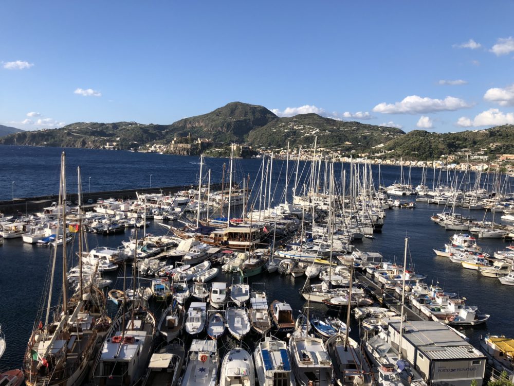
⛵ Day 4 — Stromboli to Lipari: Arrival at the Hub
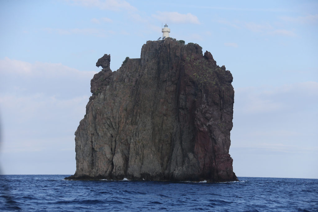
Thirty-eight miles south and west. We passed Strombolicchio — Stromboli’s little sister, a solitary volcanic stack with a lighthouse on top, one mile northeast of the main island — and said goodbye to the most extraordinary place any of us had ever anchored.
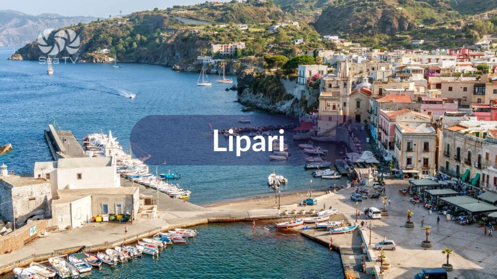
Lipari is the complete opposite of Filicudi and Stromboli. It is busy, organised, colourful, and fully stocked. We docked at Porto Pignataro on the north side of the island — called ahead on VHF Ch 09, found a berth inside the breakwater. Full facilities, ferry wash considerably reduced compared to Marina Lunga. Shower. Laundry. A proper espresso at a bar that had been there since 1960.
That afternoon: the Museo Archeologico Eoliano inside the 16th-century citadel. One of the finest archaeological museums in southern Italy — obsidian tools from 4000 BC, Bronze Age pottery, Greek amphorae, a collection of ancient theatrical masks that fills an entire wing. The islands have been inhabited and contested for six thousand years. You feel the weight of it up in the citadel, looking out over the same sea the Phoenicians and Greeks and Romans crossed.
Dinner at Pizzeria Pescecane — the best pizza on the island, a SeaTV staple. Granita at Bar Alfredo in the Marina Lunga area — almond, with warm brioche. This is what the word granita is supposed to mean.
The forecast for the next day said 25 knots from the north. We went to sleep with the plan of sailing to Salina in the morning.
⛵ Day 5 — Lipari (Wind Day): The Gift of Staying Put
The forecast was right. By 07:00, the Maestrale was blowing 28 knots through the strait between Lipari and Salina, and the sea outside the breakwater was an uncomfortable short chop. We looked at it for a while. Then we had another coffee.
Porto Pignataro held us well — the breakwater earns its place on a day like this. Inside, the boats barely moved. Outside, the ferry to Salina left on schedule and returned looking like it had been in a fight.
We had not planned a full day on Lipari. Lipari gave us one anyway.
We rented scooters and rode the island properly — all the way to Acquacalda on the north coast, where the old pumice quarries have left white cliffs above a sea so turquoise it looks filtered. Around the western headland to Belvedere di Quattrocchi — the Four Eyes viewpoint — where the volcanic stacks frame Vulcano directly south, and on a clear day you can see the smoke from its crater. Down to Canneto beach for a swim. Back through the orange groves and capers of the inland roads.
By evening the wind had dropped to 15 knots. The forecast for tomorrow: light and variable. We provisioned at the supermarket — Lipari is the last reliable stop — filled the water tanks, topped up fuel at the Eolian Bunker pier. Every Malvasia bottle we could fit. Capers. Sun-dried tomatoes in olive oil.
Unplanned days are often the best days. Lipari confirmed this.
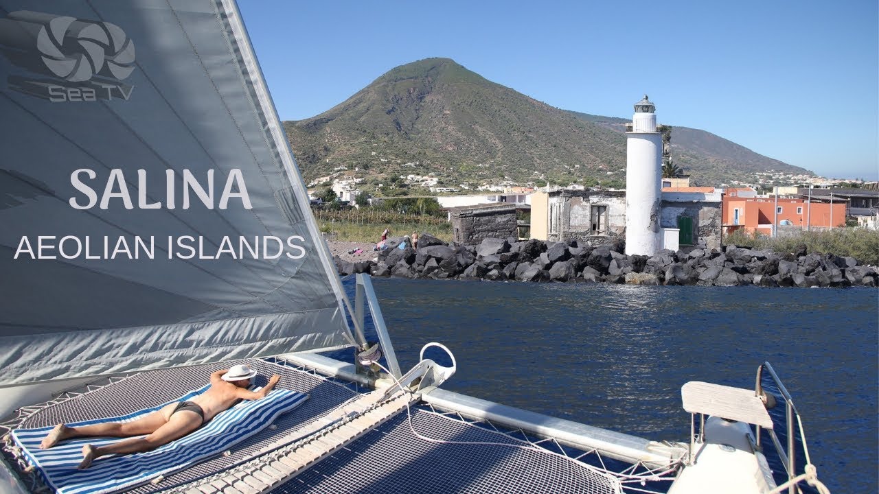
⛵ Day 6 — Lipari to Salina: The Green Island
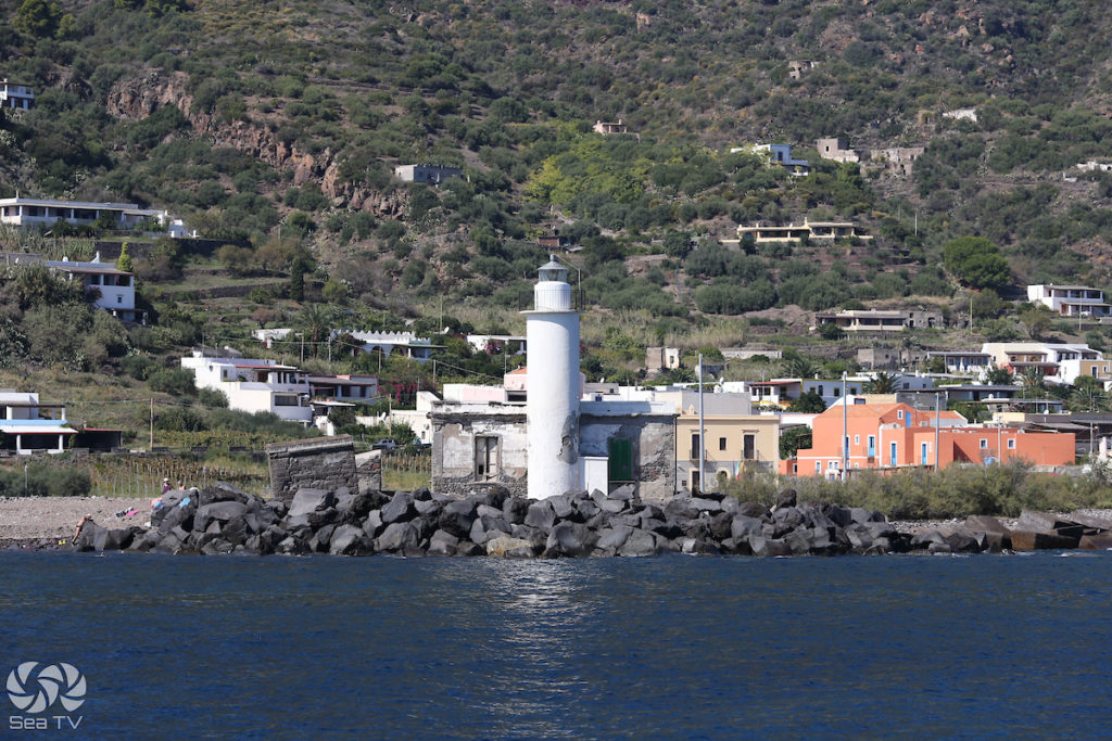
Ten miles northwest. The forecast delivered: a light morning breeze, flat sea, Salina’s two volcanic peaks clear against a blue sky. We arrived at Santa Marina Salina by 10:00, called Porto delle Eolie on VHF Ch 11, moored in the marina. The main street — no cars, 19th-century houses converted to small shops — was already alive with the day.
Salina is the only Aeolian island with a natural freshwater source, and everything about it reflects that fact. The hillsides are covered in vines. Capers grow on every stone wall. The air smells of jasmine and salt and something green that none of the other islands have.
We rode scooters to Malfa on the north coast — the most elegant village on the island, whitewashed houses with views across to Panarea and Stromboli — and stopped at Fenech Winery for a Malvasia tasting. Francesco Fenech poured for us directly, explaining the vines, the drying process that concentrates the sugar, the difference between this year’s honey-coloured dessert wine and the drier style he has been developing. We bought more bottles than we had room for.
In the afternoon: Pollara. The road ends at a belvedere above a collapsed volcanic crater that forms a near-perfect amphitheatre above the sea. This is where Il Postino was filmed — Massimo Troisi’s last film, shot in 1994. The beach below has mostly eroded now, but the crater walls and the water inside them are unchanged. At sunset, the light turns the cliffs red and gold, and the Faraglione rock is silhouetted against the horizon. We stayed until the light was completely gone.
Dinner back at Santa Marina: swordfish with capers, pasta alle eolie, the last of the Malvasia. Tomorrow was the last full day.
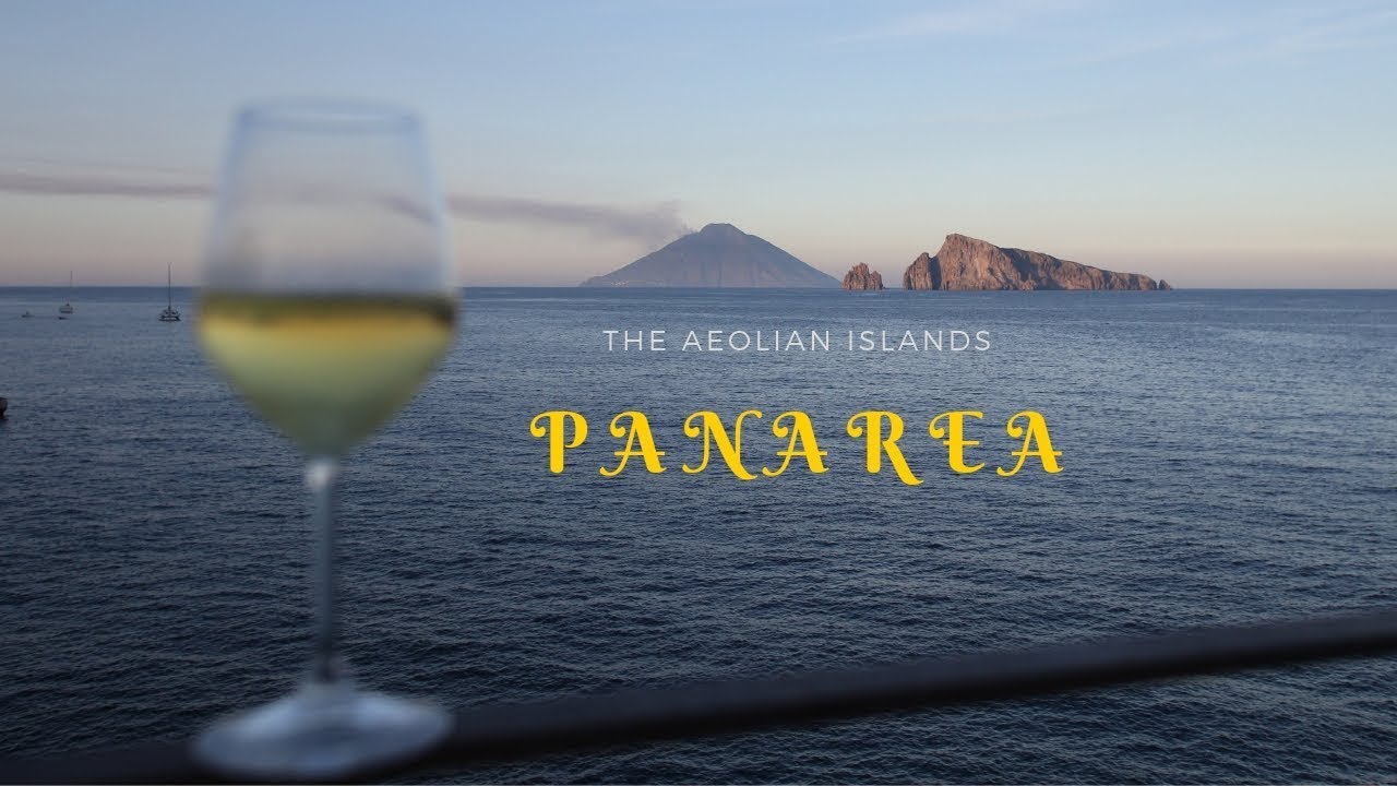
⛵ Day 7 — Salina to Panarea to Portorosa: The Last Miles
We did not want to leave Salina. We did anyway, because Panarea was twelve miles east and we had one island left to tick before returning to base.
Panarea in the morning light is something specific — the white cube houses against the rock, the harbour full of expensive yachts that had been there all night, the narrow paths already busy with people who seemed to have been up since before the sun. We found a buoy at San Pietro on the east side and took the dinghy ashore.
We walked south to Cala Junco — the famous cove, red volcanic rock enclosing turquoise water, arriving before the excursion boats from Lipari. We had it almost to ourselves for forty minutes. Then the first boat arrived. Then three more. By 10:30 it was a different place entirely.
Above Cala Junco: the prehistoric village of Capo Milazzese, 1400 BC, 23 oval hut foundations on a clifftop promontory. Nobody else was there. We sat among the ancient stone outlines and looked at the same sea those people looked at three and a half thousand years ago. The channel between Panarea and Stromboli, Stromboli still faintly smoking on the horizon.
We left Panarea at noon. The passage south to Portorosa — 35 miles downwind with the Maestrale behind us — was the fastest and most comfortable of the trip. The boat moved easily, the water flattened out as we approached the Sicilian coast, and by late afternoon the familiar entrance to Portorosa appeared in the haze.
We docked, fuelled up, rinsed the last of Stromboli’s volcanic dust from the deck. Handed the boat back.
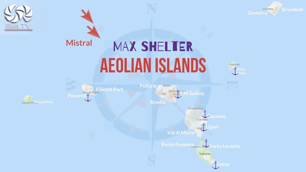
Seven islands. Seven days. One day we didn’t plan, which turned out to be one of the best. The Maestrale, it turned out, was not the enemy — it was part of the story. It always is, in the Aeolians.