Canary Islands - Sea TV sailing in the canary islands Spain

Sailing Area: Canary Islands

SeaTV · Spain · Canary Islands Cruising Hub

Sailing the Canary Islands — Atlantic Trade-Wind Sailing 100 km Off the African Coast

Spanish archipelago · 7 main islands · ~7,500 km² total area · ~100 km W of the African coast · ~1,300 NM SSW of Cádiz · year-round sailing season · NE Trade Winds 15-20 kt prevailing · S-flowing Canary Current 0.5-2 kt · Schengen + Spain politically · OUTSIDE the EU customs union (special VAT regime) · Mt Teide (Tenerife) at 3,718 m is the highest point in Spain · UNESCO World Heritage at Garajonay (La Gomera, 1986) + Mt Teide (Tenerife, 2007) + La Laguna (Tenerife, 1999) + Risco Caído (Gran Canaria, 2019) · UNESCO Biosphere Reserves on every main island · Carnival February (Santa Cruz Tenerife is 2nd-largest in the world after Rio) · ARC departure from Las Palmas every November.

The transatlantic gateway · the only major outdoor cruising region in winter Europe · the original springboard for Columbus 1492 + the modern springboard for ARC racers

Sailing the Canary Islands — Atlantic archipelago, Trade Winds, volcanic peaks

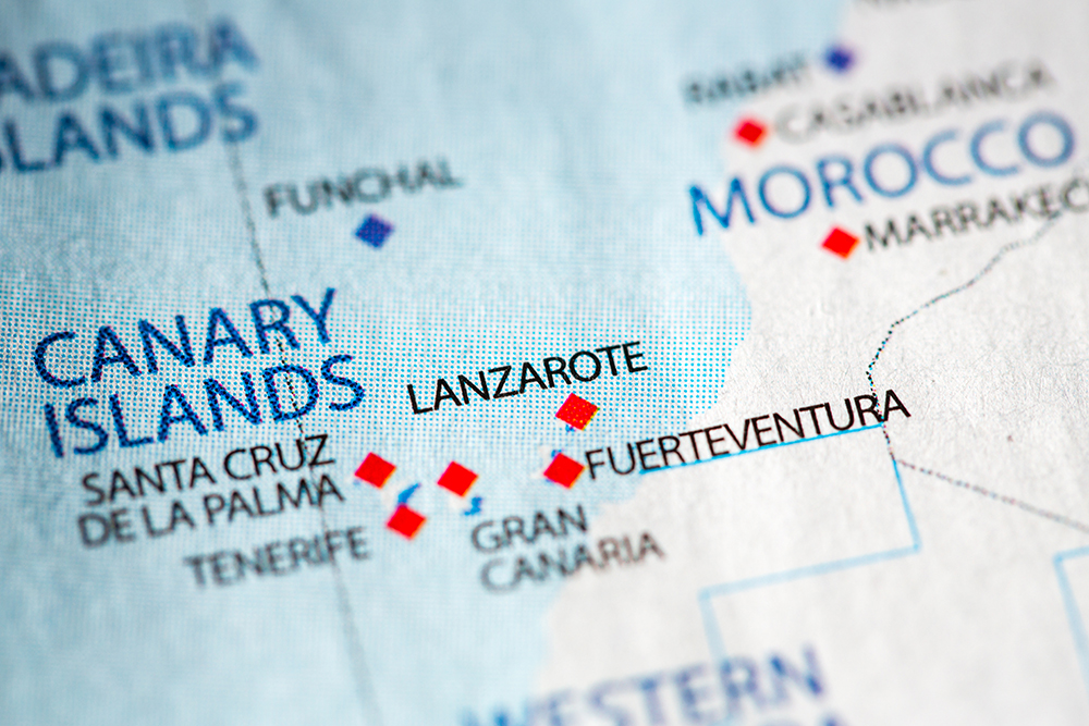
The Canary Islands — Spanish archipelago in the Atlantic ~100 km off the W coast of Africa

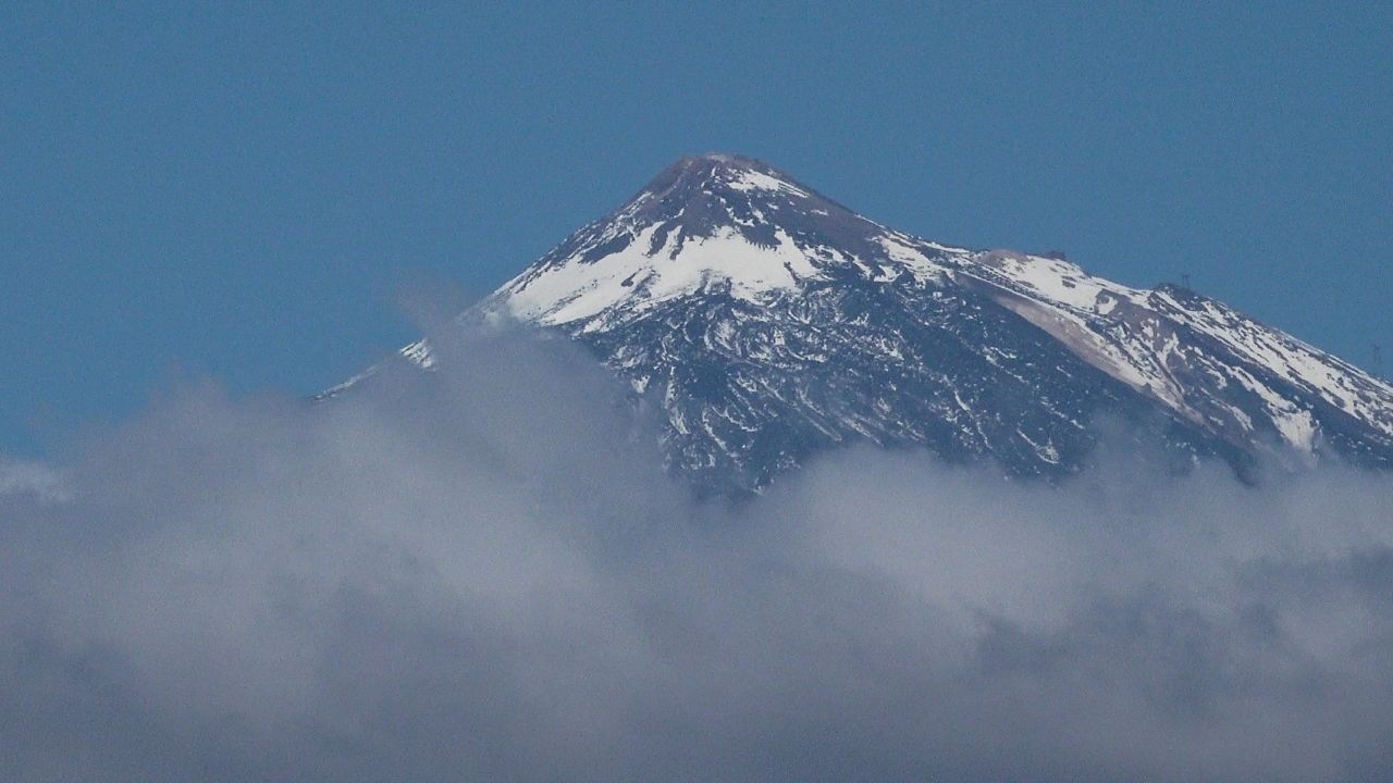
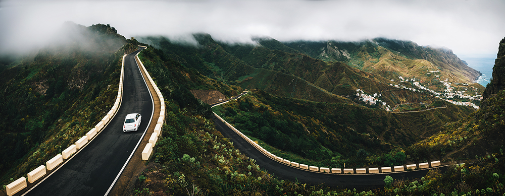
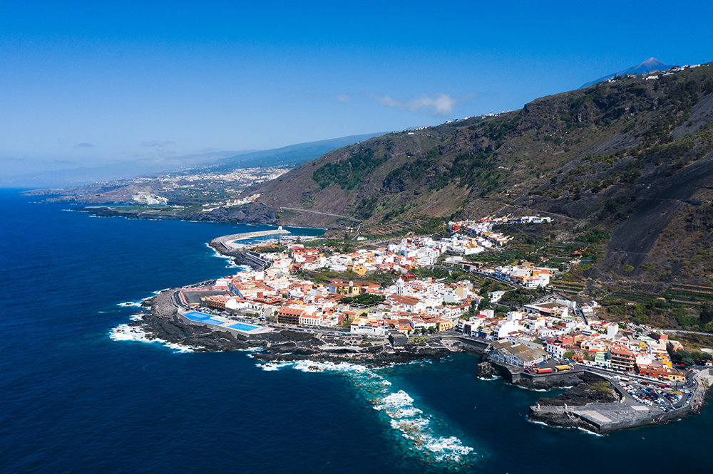
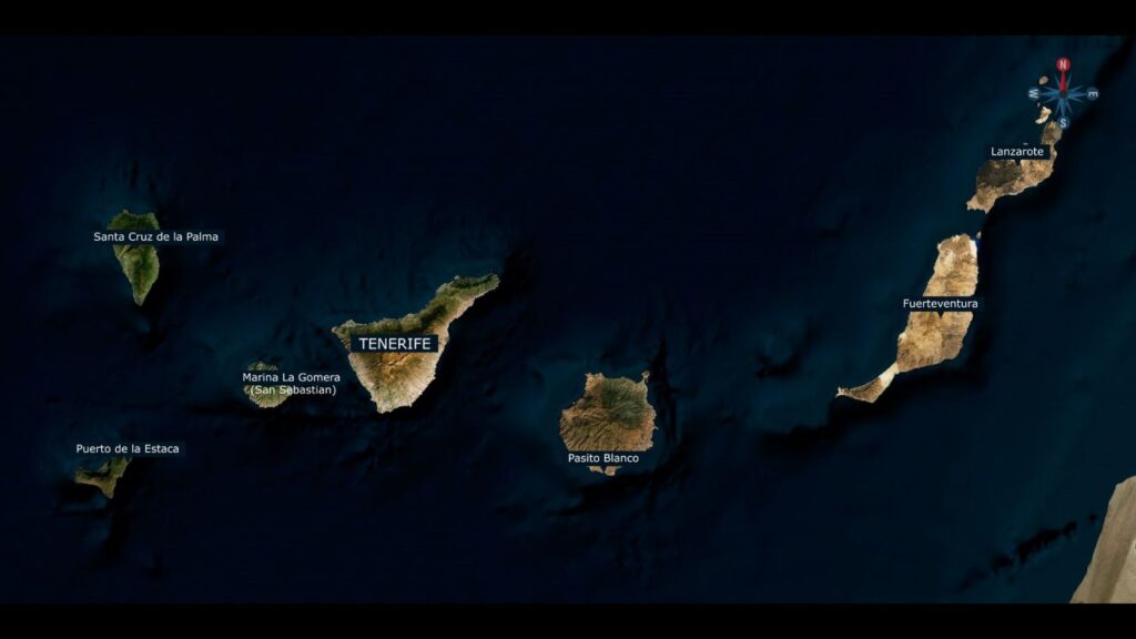
The Canary Islands are not the Mediterranean. Seven volcanic islands strung across the Atlantic ~100 km off the W coast of Africa — Tenerife, Gran Canaria, Fuerteventura, Lanzarote, La Palma, La Gomera, El Hierro — the archipelago sits at the edge of the North-East Trade Wind belt, the same wind system that carried Columbus W in 1492 and that powers the Atlantic Rally for Cruisers (ARC) every November. The islands are tailor-made for seafaring souls — diverse, geologically varied, climatologically distinct from anything else in Europe — and have been the principal Atlantic transit point for European sailors since the 15th century. For cruisers the Canaries offer year-round sailing (water 19-22°C in winter, 22-26°C in summer) with the prevailing Trade Wind giving consistent 15-20 kt NE on the beam, the south-flowing Canary Current setting you W at 0.5-2 kt, and intense volcanic landscapes ashore — Mt Teide on Tenerife at 3,718 m is the highest mountain in Spain, the Caldera de Taburiente on La Palma is the world’s largest erosion crater, and the Roque de los Muchachos Observatory at 2,396 m is one of the world’s best-positioned astronomical sites. For charter the season runs all year, with November-March being the peak (the Trade Winds are most stable, plus Carnival in February + ARC in November). ⚠ Critical to understand: the wind funnels between the islands — the same 20-kt forecast becomes 30-35 kt in the channels (Wind Acceleration Zones / WAZ) — reef before leaving harbour, every passage. The islands are also part of Spain politically (Schengen) but OUTSIDE the EU customs union, with a special VAT regime — clear in/out properly at any of the designated ports of entry.

⚠ Reality check before you cruise the Canaries:

⚠ Wind Acceleration Zones (WAZ) · between every pair of islands · same 20 kt becomes 30-35 kt · reef BEFORE leaving harbour

⚠ Atlantic swell · 1-3 m typical · this is open ocean, not the Med · expect motion at exposed anchorages

⚠ Canary Current · 0.5-2 kt south-flowing · plan distance budget assuming you’ll set W faster going S, fight current going N

⚠ Sirocco from Sahara · 30+ kt easterly · brings dust (Calima) · 1-3 days · plan around it · barometer rising 1030+ mb is the warning

⚠ TSS Tenerife-Gran Canaria · commercial Traffic Separation Scheme between the two main islands · cross at right angles · monitor AIS

⚠ Limited overnight anchorages · most calas are exposed to swell · marinas are the practical option · book ahead Sept-March

⚠ Special VAT regime · Schengen but OUTSIDE EU customs · clear in/out properly at designated ports of entry

⚓ The Canary Islands at a Glance

Total area

~7,500 km² · 7 main islands

Distance from Africa

~100 km W (Fuerteventura is closest)

Distance from mainland Spain

~1,300 NM SSW from Cádiz

Highest point

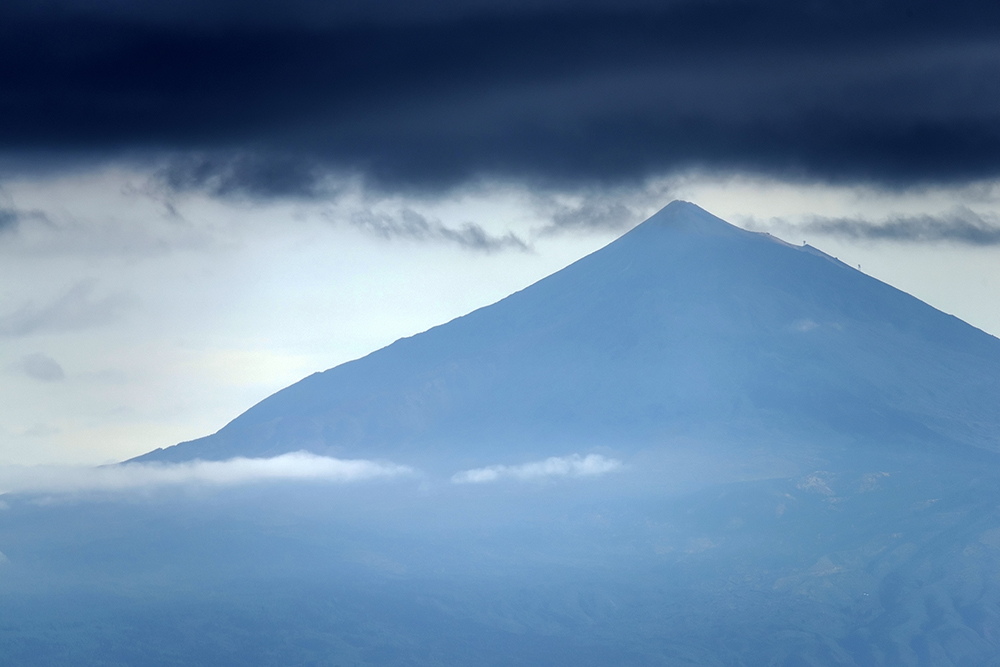
Mt Teide, Tenerife · 3,718 m · highest in Spain

Capitals

Santa Cruz de Tenerife · Las Palmas de Gran Canaria

Languages

Spanish (Castellano) · also Silbo Gomero (UNESCO whistled language)

Currency · Time

EUR · WET (UTC+0) / WEST · 1 hr behind mainland Spain

Marinas

~30 across the archipelago

Charter bases

Tenerife S coast · Las Palmas · Lanzarote

Airports

8 (TFN, TFS, LPA, ACE, FUE, SPC, GMZ, VDE)

UNESCO World Heritage sites

4 · Garajonay · Teide · La Laguna · Risco Caído

Status

Schengen + Spain · OUTSIDE EU customs union · special VAT

The 7 Islands — Each One Different

1 · Tenerife — the largest · ~2,034 km²

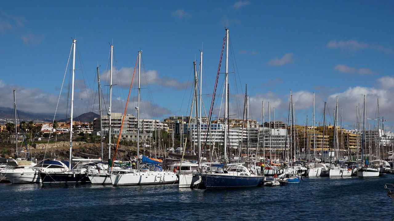
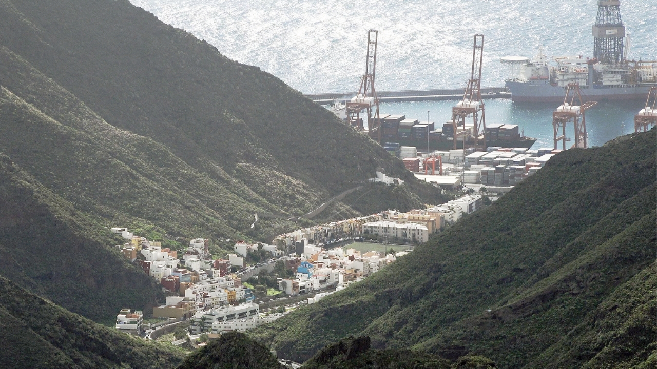
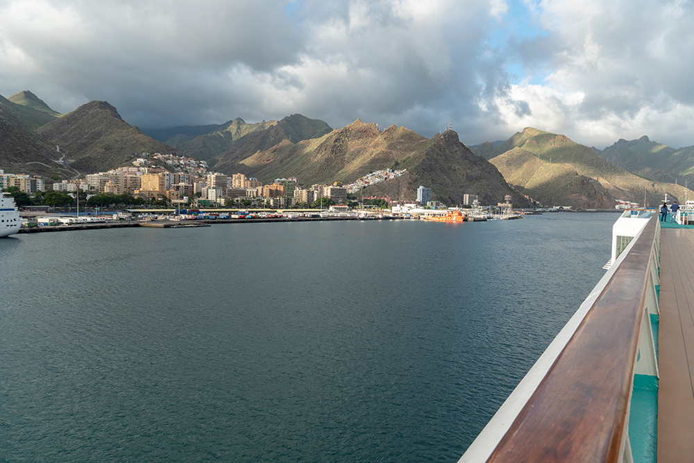
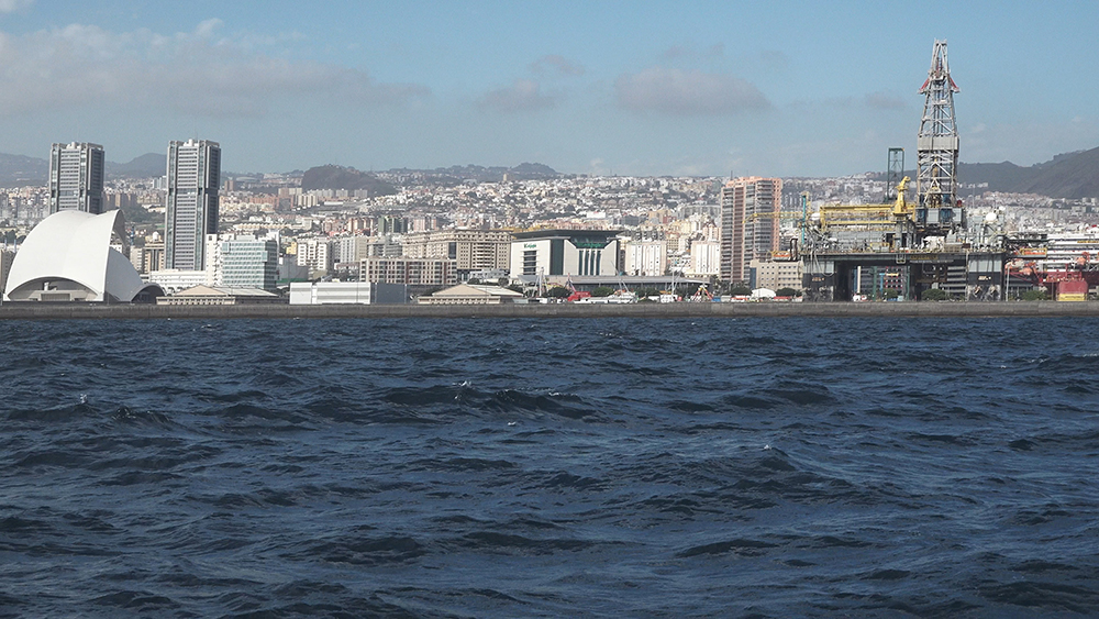
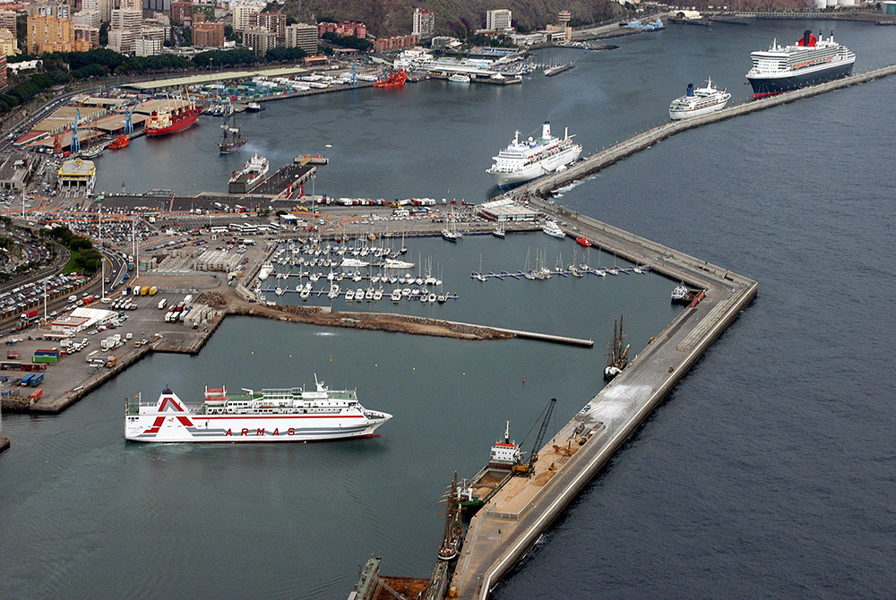
The biggest, most populous, most-visited Canary · home of Mt Teide (UNESCO 2007), La Laguna UNESCO colonial city (1999), Anaga Rural Park Biosphere · two airports (TFN N + TFS S) · the carnival capital · Santa Cruz, Marina Tenerife, Marina San Miguel, Marina del Sur (Las Galletas), and several W coast resort marinas.

2 · Gran Canaria — “a continent in miniature” · ~1,560 km²

The most ecologically diverse · sub-tropical N + desertic S · UNESCO Biosphere · Risco Caído + Sacred Mountains UNESCO World Heritage 2019 (pre-Hispanic Berber rock art) · capital Las Palmas · home of Marina Las Palmas with 1,363 berths — the ARC departure port every November.

3 · Lanzarote — volcanic art island · ~846 km²

Strict building controls (no buildings over 4 floors) · the artistic vision of César Manrique throughout · Timanfaya National Park (Mountains of Fire) · UNESCO Biosphere · home of Marina Rubicón (450 berths, S coast) + Puerto Calero + Marina Lanzarote (Arrecife) · Saharan dust occasional.

4 · Fuerteventura — “the African one” · ~1,660 km²

Sand dunes · cacti · palm trees · 152 beaches · the closest island to the African coast (~100 km) · UNESCO Biosphere 2009 · sparser cruising infrastructure · Morro Jable marina on the SW corner · the year-round windsurfing/kitesurfing capital of Europe.

5 · La Palma — “Isla Bonita” · ~706 km²

The greenest, most volcanic, most astronomically clear of the Canaries · Caldera de Taburiente (the world’s largest erosion crater, 8 km wide × 1,500 m deep) · UNESCO Starlight Reserve (entire island) · Roque de los Muchachos Observatory at 2,396 m · UNESCO Biosphere · Cumbre Vieja 2021 eruption (W ridge, 85 days) · Marina La Palma 180 berths.

6 · La Gomera — Columbus’s last stop · ~370 km²

Second-smallest main island · Garajonay UNESCO World Heritage 1986 (the world’s largest surviving Laurisilva cloud-forest) · Silbo Gomero whistled language UNESCO Intangible Heritage 2009 · the historical departure point of Columbus’s 1492 voyage from San Sebastián · Marina La Gomera 335 berths.

7 · El Hierro — “the end of the world” · ~268 km²

Smallest + westernmost main island · the original “Zero Meridian” until Greenwich took over in 1884 · UNESCO Biosphere · UNESCO Geopark · 1,000 m cliffs around El Golfo (an ancient volcano’s lip) · most unspoilt of the islands · Puerto de la Estaca on the E coast · limited services · “real end of the world” feel.

Trade Winds, Currents & Wind Acceleration Zones

The Atlantic system that makes Canary sailing different:

Alísios (Trade Winds) · NE blowing 15-20 kt · the dominant wind · stable from late September through April · the same wind that powers transatlantic crossings · driven by the Azores High in the North Atlantic

Canary Current · S-flowing eastern boundary current of the North Atlantic gyre · 0.5-2 kt · cold water (18-22°C even at the equator latitude) · plan W-S passages with the current, N-E passages against it

Wind Acceleration Zones (WAZ) · in EVERY inter-island channel · the wind compresses through the Bernoulli effect · the same 20 kt becomes 30-35 kt for the few hours of crossing · S of Tenerife between Mt Teide + Gran Canaria is the best-known · S of La Gomera is another · reef BEFORE leaving harbour, every passage

Sirocco (Levante) · easterly from Sahara · 30+ kt · brings Calima (Saharan dust event, 1-3 days) · barometer rising to 1030 mb is the warning · usually stays away in winter, more frequent in summer

SW gale signal: barometer dropping 10 mb or more = low pressure replacing the Azores High = SW gales 35+ kt approaching · DELAY DEPARTURE

Hurricane influence: rare but possible · late summer through autumn · most Atlantic hurricanes track N of the Canaries · plan extra resilience if cruising in September

Climate & Cruising Seasons

Year-round sailing — the Canaries are the only major outdoor cruising region in winter Europe:

Spring (March-May) · ~20°C avg · few tourists · lower rates · ideal hiking + whale-watching · stable weather

Summer (June-August) · 9-10 hr daily sun · July is the windiest sailing month · warmest water (24-26°C)

Early Fall (September-October) · warm + fewer crowds · wine harvest · pre-ARC quiet

Winter (December-February) · ~20°C avg · water 19-22°C · the European winter sun destination · Carnival in February

November · ARC departure month (Sunday in mid-November) · Las Palmas at 100% capacity · book months ahead

⚠ Wind funnelling: strong localised winds between islands require experienced navigation regardless of season · the WAZ effect is permanent

⚓ Marinas Covered on SeaTV

Six SeaTV marina pages live · all on Tenerife, La Gomera, La Palma:

⚓ Tenerife marinas

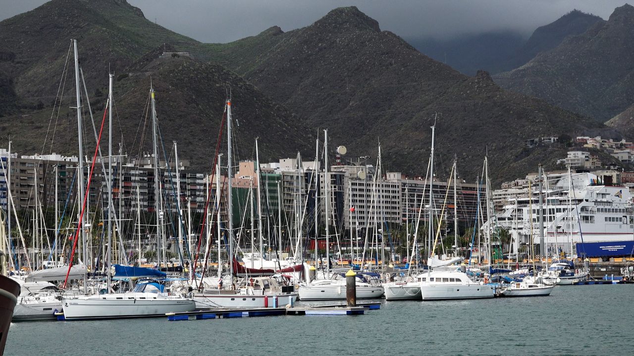
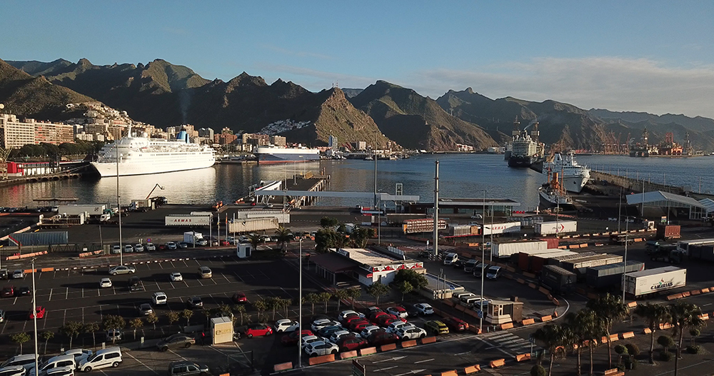
Santa Cruz Marina (Marina del Atlántico) — 28°27.96’N · 16°14.82’W · capital marina · 300 berths · max LOA 80 m · superyacht-friendly · ARC + Viking Explorers stopover · multilingual staff · +34 922 292 184

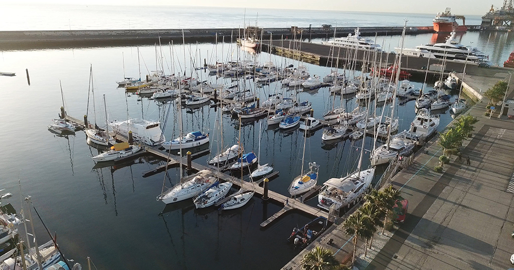
Marina Tenerife (Dársena Pesquera) — 28°29’N · 16°12’W · the original (1992) Santa Cruz N marina · 220 wet + 100 dry · workboat refit base · English-speaking yard

Marina San Miguel (Amarilla Marina) — 28°01’N · 16°36’W · S coast charter base · 344 berths · max LOA 40 m · 60-tonne travel-lift · 24h fuel + security

Las Galletas · Marina del Sur — 28°00.45’N · 16°39.71’W · S coast authentic fishing village · 176 berths · World Whale Heritage Site (first in Europe)

⚓ La Gomera + La Palma marinas

Marina La Gomera (San Sebastián) — Paseo de Fred Olsen · 335 wet + 30 dry berths · LOA 6-20 m · Columbus’s 1492 departure point · 30-50% of moored boats Sept-Dec are transatlantic

Marina La Palma (Santa Cruz de La Palma) — 28°40.5’N · 17°45.8’W · 180 berths · 14 m steel gate entry · two-channel VHF protocol (Ch 6 Port Control + Ch 9 Marina) · +34 922 410 289

⚓ Other major marinas in the archipelago

Marina Las Palmas (Gran Canaria) · 1,363 berths · max LOA 50 m · max draft 5 m · ARC departure port · the busiest port in the archipelago

Marina Rubicón (Lanzarote S) · 450 berths · the visitor-friendly Lanzarote option · between Los Ajaches Natural Monument + Playa Blanca

Puerto Calero (Lanzarote) · the Calero Marinas group base · also operates Marina La Palma

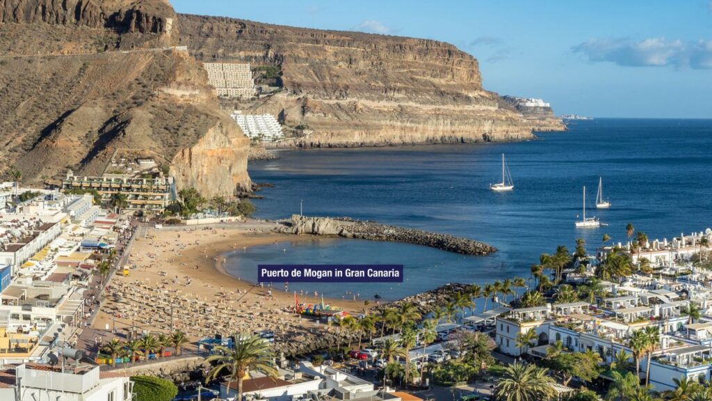
Puerto de Mogán (Gran Canaria) · “Little Venice” · Blue Flag · 216 berths · max LOA 45 m

Puerto Colón + Marina Los Gigantes (Tenerife W) · resort-coast options

Morro Jable (Fuerteventura SW) · the Fuerteventura visitor option

Puerto de la Estaca (El Hierro) · the only proper marina on the smallest island

Anchorages & Beaches Worth the Detour

Sheltered anchorages (calm-weather only)

Paso de la Orchilla, Isla de Lobos · clear water · protected from N + NE winds · National Park (permit required)

Punta de Antequera, Tenerife · sea-accessible bay · towering cliffs · black-sand beaches · NE corner of the island

Playa Francesa, La Graciosa · sandy seabed · good shelter · Chinijo Archipelago Natural Park (permit required)

Beaches worth a day-stop

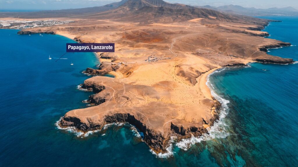
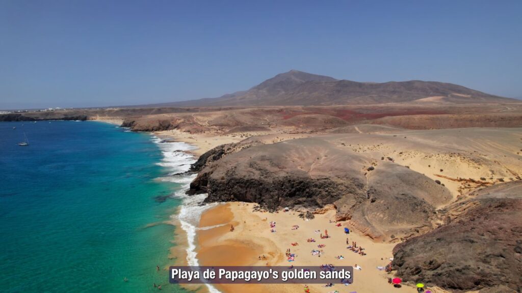
Playa de Papagayo, Lanzarote · white-sand crescent · cliff-protected · S coast

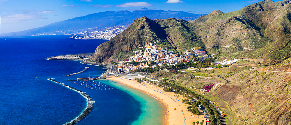
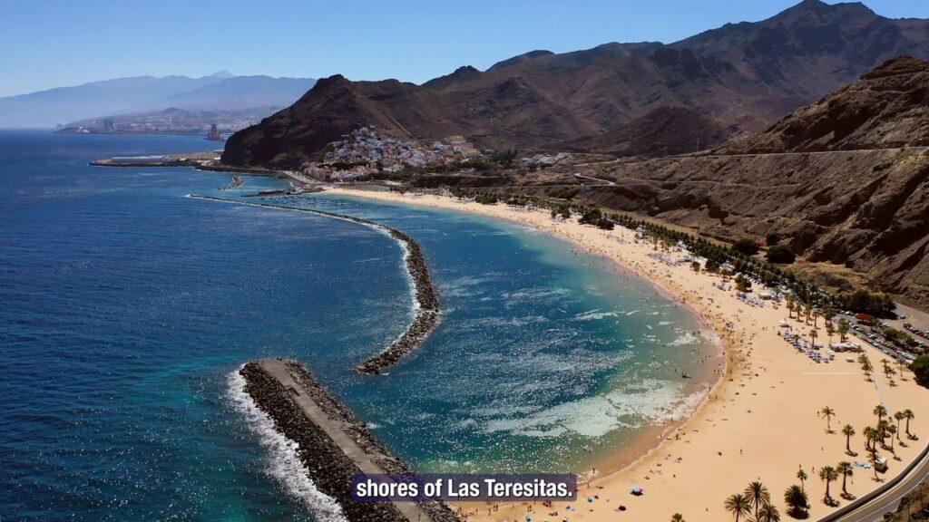
Las Teresitas, Tenerife · golden Sahara-imported sand · at the foot of the Anaga mountains · 5 NM N of Santa Cruz

Playa de las Conchas, La Graciosa · near-white sand · turquoise water · uninhabited island

The Three Great Carnivals

Carnaval de Santa Cruz de Tenerife — the “Brazilian” one

Second-largest carnival in the world after Rio de Janeiro

→ Two-week celebration in February (dates shift with Lent)

→ Carnival Queen costumes weighing 200+ kg · televised across Spain

→ Cabalgata Anunciadora opening parade · 250,000+ spectators

→ “Burial of the Sardine” Ash Wednesday closing parade · giant sardine effigy “burned” in the streets

Los Indianos in Santa Cruz de La Palma — the “white” one

→ Held on Carnival Monday (Lunes de Carnaval) in Santa Cruz de La Palma

→ A parody of 19th-century Palmeros returning rich from Cuba + Venezuela — “Indianos” was the local name for the returnees

→ Everyone dresses head-to-toe in white period costumes · linen suits · summer dresses · lace hats · parasols · accessories

“La Polvesera” — the massive talcum powder battle · early afternoon · the entire town turns into a white cloud · streets, faces, hair all dusted in talc

→ The “Negra Tomasa” arrives at the harbour in the morning · La Espera ceremony in Plaza de España (renamed Plaza de La Habana for the day) · Cuban music · mojitos + sugar-cane juice + cigars

~60,000+ visitors swell the population for the day · book months ahead

Los Buches in Arrecife, Lanzarote — the seafaring one

Traditional Lanzarote carnival rooted in the island’s seafaring heritage · participants in costume + traditional music · the unique element is the use of inflated fish bladders (“buches”) on sticks, struck against participants in a playful battle · pre-dates the Tenerife and La Palma carnivals.

UNESCO Designations Across the Archipelago

World Heritage sites:

San Cristóbal de La Laguna (Tenerife · 1999) — the colonial template town that served as the model for Latin American cities
Garajonay National Park (La Gomera · 1986) — the world’s largest Laurisilva cloud-forest

Teide National Park (Tenerife · 2007) — Spain’s highest peak + active stratovolcano

Risco Caído + Sacred Mountains of Gran Canaria (2019) — pre-Hispanic Berber rock art + cave architecture

Intangible Heritage:

Silbo Gomero (La Gomera · 2009) — the whistled language

Biosphere Reserves:

→ ALL 7 main islands have UNESCO Biosphere status (some entire islands, others designated zones)

Other major designations:

UNESCO Starlight Reserve · entire La Palma island · strict light-pollution laws

UNESCO Geopark · El Hierro · Lanzarote

The Transatlantic Story

From Columbus 1492 to ARC today

The Canary Islands have been the principal Atlantic transit point for Europe → Americas since the 15th century. Columbus stopped at La Gomera in September 1492 for last provisions before the crossing — the same Trade Wind he caught carries today’s ARC fleet from Las Palmas to St. Lucia.

Columbus’s route: Cádiz → La Gomera → ~36 days W → Bahamas (October 12, 1492)

Modern ARC route: Las Palmas (mid-November Sunday departure) → St. Lucia · ~2,700 NM · 18-21 days · ~200 boats annually since 1986

ARC+ alternative: Las Palmas → Mindelo (Cape Verde, ~870 NM) → Caribbean

Viking Explorers Rally: the annual transatlantic departure from Santa Cruz Tenerife · stopover at Marina Santa Cruz

⛵ Two 7-Day Sailing Itineraries

From a Tenerife charter base, two classic loops have emerged over decades of cruising:

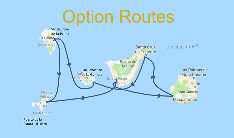
Western Loop · Tenerife → La Gomera → La Palma → El Hierro → SW Tenerife → Gran Canaria → return · ~340 NM · ~50-60 NM/day · the family-friendly option · no overnight legs

Eastern Loop · Tenerife → Lanzarote → Fuerteventura → Gran Canaria → return · ~400-440 NM · long upwind opening leg of ~130 NM (overnight) · the more adventurous option

Choice depends on weather forecast at start of week: stable Azores High favours the Western Loop · low pressure approaching from N or strong easterly Sirocco argues for the Eastern Loop or delaying departure.

Full SeaTV Sailing Routes guide with day-by-day breakdown, marina options, hazard zones, and the maps for both routes

Customs, VAT & Practical Entry

Schengen + Spain politically · standard Schengen visa rules apply

OUTSIDE the EU customs territory + EU VAT region · special low-VAT regime (IGIC at ~7% instead of mainland 21%)

Designated ports of entry: Santa Cruz Tenerife · Las Palmas Gran Canaria · Marina La Palma · Marina La Gomera · Arrecife Lanzarote · Puerto del Rosario Fuerteventura · Puerto de la Estaca El Hierro

On arrival: report to Port Authority or marina office · passport stamping for non-EU visitors at Border Police office (typically weekday mornings)

Inter-island cruising: unrestricted after initial check-in · possible document checks at subsequent ports

Pilot requirement: vessels over 500 GT need pilot for entry to major commercial ports · smaller yachts can use a local agent

Importing parts: use a local customs agent (e.g. Feligar in La Palma) · the special VAT regime affects parts pricing

Emergency & Practical Contacts

Emergency: 112 (national, all services)

Maritime SAR (Salvamento Marítimo): 900 202 202 (from land)

VHF distress: Channel 16 + 70 (DSC)

Marina VHF: Channel 9 (most marinas) · Channel 12 (some port controls) · Channel 6 (La Palma Port Control)

Weather: AEMET (Spanish Meteorological Agency · aemet.es) · Windguru · PredictWind

Charts: Imray E2 (Canary Islands) · Navionics Atlantic · Spanish IHM official charts

Cruising guide: Atlantic Islands (RCC Pilotage Foundation/Imray) · Cruising Association Atlantic Spain & Portugal

Hospital network: public hospitals in Santa Cruz · Las Palmas · Arrecife · Puerto del Rosario · La Palma · La Gomera · El Hierro

Continue Exploring

Canary Islands Sailing Routes — full 7-day Western + Eastern Loop itineraries with maps

Spain cruising hub — Mediterranean + Atlantic coasts

Balearic Islands — Mediterranean alternative for Spain sailing

Atlantic neighbours on SeaTV:

Azores — ~870 NM N · the next mid-Atlantic archipelago · Marina Horta

Algarve Coast (Portugal) — the European mainland departure

Andalusia (Spain Atlantic) — Cádiz · the Columbus departure

“The Canary Islands are not the Mediterranean · seven volcanic islands strung across the Atlantic about a hundred kilometers off the west coast of Africa Tenerife Gran Canaria Fuerteventura Lanzarote La Palma La Gomera El Hierro · the archipelago sits at the edge of the North East Trade Wind belt the same wind system that carried Columbus west in fourteen ninety two and that powers the Atlantic Rally for Cruisers every November · the islands are tailor made for seafaring souls diverse geologically varied climatologically distinct from anything else in Europe and have been the principal Atlantic transit point for European sailors since the fifteenth century · for cruisers the Canaries offer year round sailing with water nineteen to twenty two degrees in winter and twenty two to twenty six in summer with the prevailing Trade Wind giving consistent fifteen to twenty knots northeast on the beam and the south flowing Canary Current setting you west at half a knot to two knots and intense volcanic landscapes ashore Mount Teide on Tenerife at three thousand seven hundred eighteen meters the highest mountain in Spain the Caldera de Taburiente on La Palma the world’s largest erosion crater and the Roque de los Muchachos Observatory at twenty three hundred ninety six meters one of the world’s best positioned astronomical sites · for charter the season runs all year with November through March being the peak the Trade Winds are most stable plus Carnaval Tenerife in February the second largest in the world after Rio plus Los Indianos La Palma the white talcum powder carnival on Carnival Monday plus the ARC departure from Las Palmas in mid November · critical to understand the wind funnels between the islands the same twenty knot forecast becomes thirty to thirty five knots in the channels Wind Acceleration Zones so reef before leaving harbour every passage · the islands are part of Spain politically Schengen but outside the EU customs union with a special low VAT regime so clear in and out properly at any of the designated ports of entry · this is open ocean Trade Wind sailing not a sheltered Mediterranean basin and the rules are different · the only major outdoor cruising region in winter Europe and the original springboard for Columbus and the modern springboard for ARC racers · sail accordingly.”

— SeaTV · Canary Islands · Atlantic Trade-Wind Sailing · The Transatlantic Gateway

Chart

Sailors tips

Must-See Attractions

Must-See Attractions:

  1. Teide National Park, Tenerife: Offers spectacular sunrises and sunsets.
  2. Roque Nublo, Gran Canaria: Provides breathtaking views from its volcanic rock formation.
  3. Garajonay National Park, La Gomera: A UNESCO Biosphere Reserve with unique flora.
  4. El Hierro’s Orchilla Lighthouse: Perfect for stargazing and romantic sunsets.

Services for Sailors

  1. Marina Rubicon, Lanzarote: Offers comprehensive services, including electrical facilities and expert technicians.
  2. Calero Marinas: Known for its high-quality facilities across different islands.
  3. Marina Las Palmas, Gran Canaria: Proximity to naval shops for repairs and purchases.

Windy

Instagram Reels

{{title}}
Learn more
{{types}}

{{title}}

{{address}}

{{#rating}} rating: {{rating}} {{/rating}} {{#prices}} prices level: {{prices}} {{/prices}}
{{#open}}

Open Now

{{/open}}