SeaTV · Spain · Balearic Islands · Mallorca · Cruising Hub
Mallorca — Complete Cruising Guide · 555 km of Coastline · 10 Marinas & Anchorages
3,640 km² · the largest of the Balearic Islands · 555 km of coastline · capital Palma de Mallorca (~415,000 people, ~900,000 island-wide) · ~100 NM from Barcelona, ~75 NM from Valencia · Spain (Schengen + EU + Euro) · official languages Spanish + Mallorquí (a Catalan dialect) · 50+ marinas + ~15,000 berths island-wide · UNESCO Serra de Tramuntana (NW range, since 2011) · Cabrera Maritime-Terrestrial National Park (SE, since 1991) · the most-cruised single island in the western Mediterranean.
⛵ Sailing season May-October · peak Jun-Sep · 300+ sunny days/year · water 20-27°C · prevailing summer winds light 5-15 kn · Tramontana N wind dominant in winter
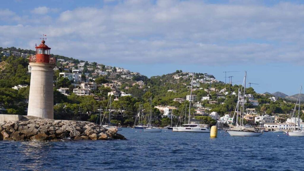
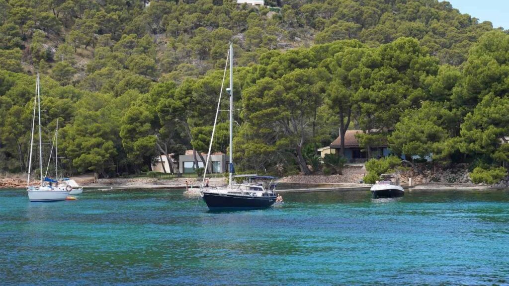
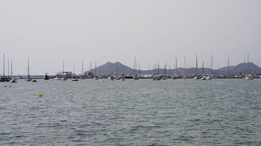
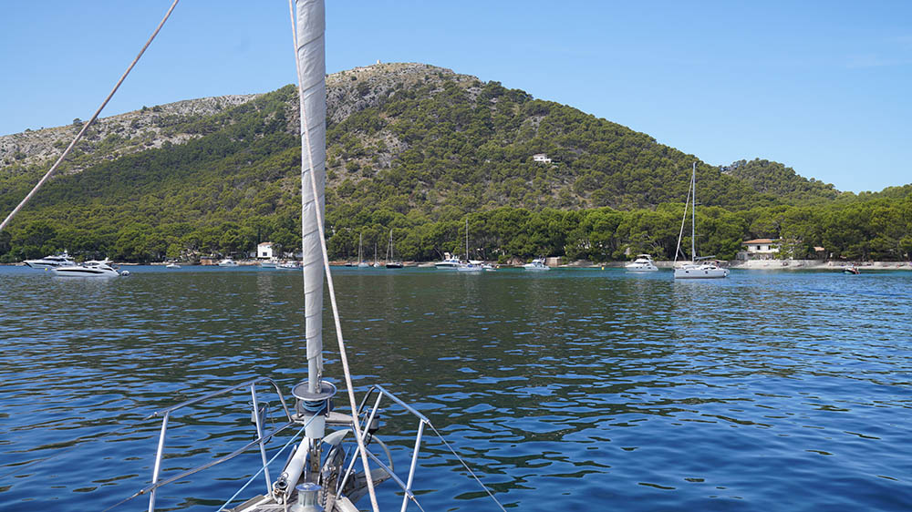
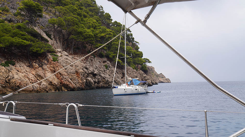
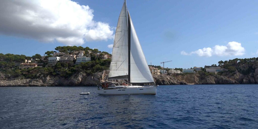
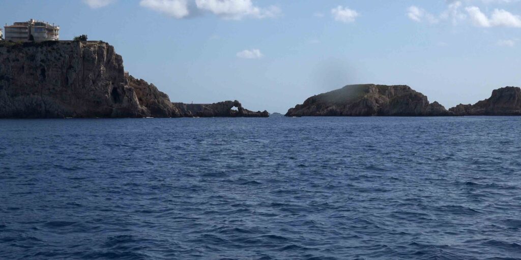
Mallorca is the most varied single-island cruising ground in the western Mediterranean. The four sides of the island offer four genuinely different sailing experiences: the NW Tramuntana coast is 90 km of vertical limestone cliffs with one safe harbour (Port de Sóller); the N/NE corner has the two huge bays of Pollença and Alcúdia with the Formentor peninsula between them; the E coast from Cala Ratjada to Cala Figuera is a ~70-km string of natural-harbour marinas, calas, and the famous show caves; the S/SW from Cabrera to Andratx contains the open Bay of Palma plus the cliff-edge resorts of Santa Ponça and the millionaire’s marinas of Portals/Andratx. The cruising distances are short (no destination is more than 80 NM from any other), services are abundant, and the marina infrastructure is some of the most developed in the Mediterranean. The challenges are different from Greece or Croatia: peak-season berths fill weeks ahead, Posidonia protection rules restrict anchoring, the marina prices are among the highest in Europe, and the Tramuntana wind on the NW coast can leave you with no shelter for 30+ NM if you misjudge it.
⚠ Reality check before you cruise Mallorca:
→ ⚠ Posidonia seagrass anchoring ban · since 2018 the Balearic Islands prohibit anchoring on Posidonia oceanica meadows · €1,200-€100,000 fines · use the Posidonia Maps mobile app (free) to identify sandy patches
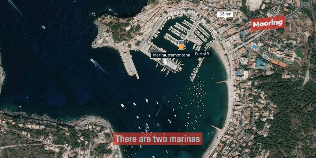
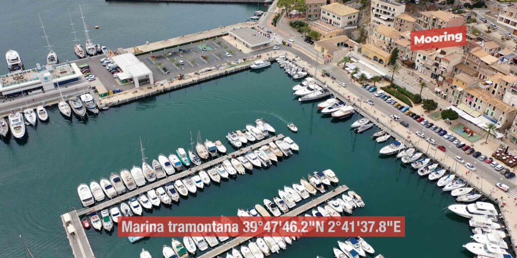
→ ⚠ Marina berths book out months ahead in Jul-Aug · book Marina Tramontana (Sóller), Andratx, Porto Cristo, Cabrera buoys via portsib.es well in advance
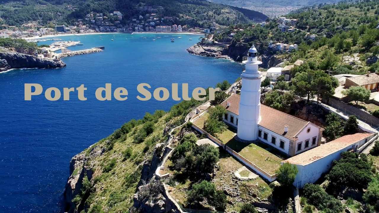
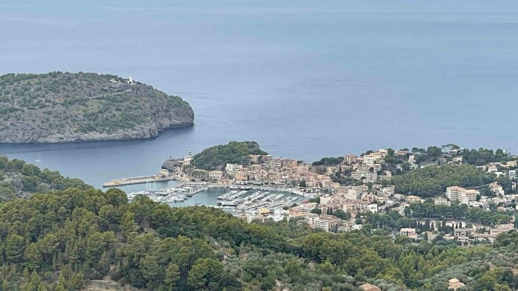
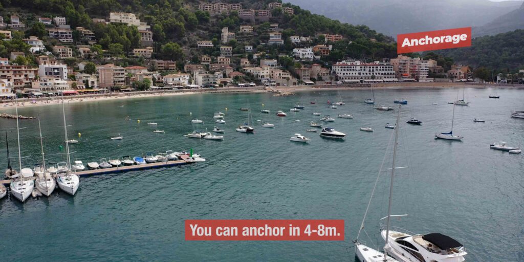
→ ⚠ NW (Tramuntana) coast has only one safe harbour · Port de Sóller · between Andratx and Cap de Formentor (~90 km) every other anchorage is calm-weather-only
→ ⚠ Cabrera National Park requires advance permit · book buoys via caib.es/rescabfront/ · 20 days advance · anchoring forbidden
→ ⚠ Marina prices are high · expect €60-€350/night for 12 m yacht in season (cheaper at municipal portsib.es marinas, expensive at Puerto Portals/Andratx)
→ ⚠ Tramontana wind onset can hit suddenly · the NW coast becomes untenable in <1 hour · check forecast 2-3x daily · accept conservative routing
→ Schengen status: Spain · clear in/out at Palma if from outside EU (Mallorca = Schengen + EU + Euro)
⚓ Mallorca at a Glance
Area
3,640 km² · largest Balearic island
Coastline
555 km
Population
~900,000 · capital Palma ~415,000
Country / status
Spain · Schengen · EU · Euro
Languages
Spanish + Mallorquí (Catalan dialect)
Highest peak
Puig Major 1,436 m (Tramuntana)
Marinas / berths
~50 marinas · ~15,000 berths total
UNESCO sites
Serra de Tramuntana (2011)
National Park
Cabrera Archipelago (1991)
Distance · Barcelona
~100 NM NW
Distance · Menorca
~30 NM NE (Pollença → Ciutadella)
Distance · Ibiza
~68 NM SW (Andratx → Sant Antoni)
Cruising season
May-October · peak Jun-Sep
Sunny days/year
300+ · ~2,750 sunshine hours
Tidal range
~10 cm (negligible)
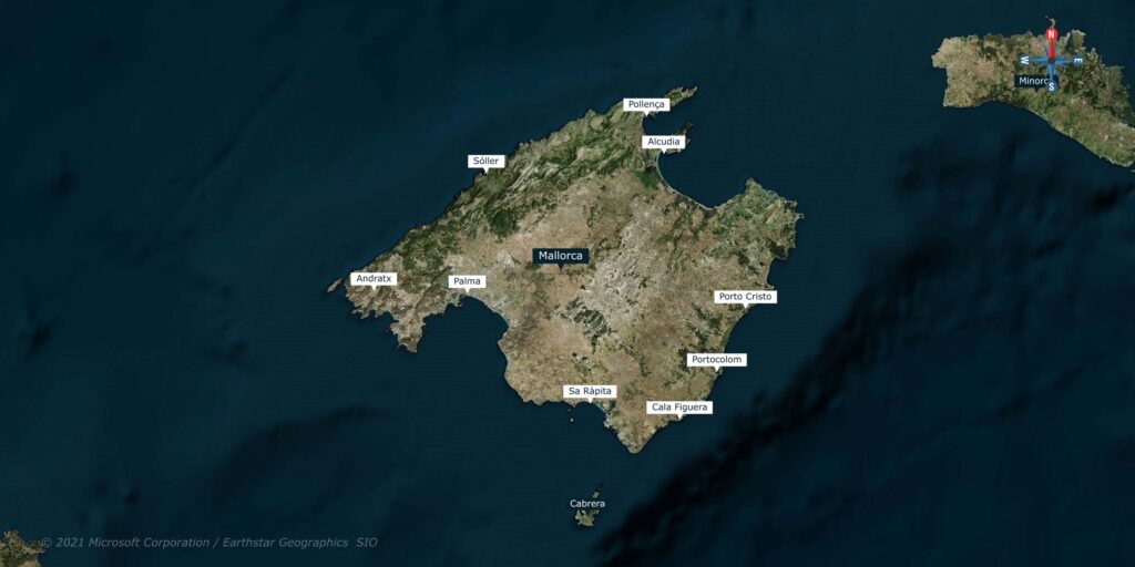
The Four Coasts of Mallorca
Mallorca’s geography splits the island into four distinct cruising zones · understanding which coast you’re on tells you what to expect from the wind, the marinas, and the ashore experience.
NW · The Tramuntana Coast (Andratx → Cap de Formentor · ~90 km)
→ Vertical limestone cliffs rising directly from the sea · the entire UNESCO Serra de Tramuntana ridge runs along this coast · Puig Major (1,436 m) the highest peak.
→ ⚠ ONE safe harbour: Port de Sóller · everything else (Sa Calobra, Cala Tuent, Cala Deià, Sa Foradada, Banyalbufar) is calm-weather day-stop only.
→ Most rugged + most photogenic coast · also the riskiest in any blow · the Tramontana wind hits hardest here.
→ Best for: experienced sailors, calm-weather cruising, photography, hiking ashore.
N/NE · The Twin Bays (Pollença + Alcúdia · ~50 km)
→ Two huge protected bays separated by the Formentor peninsula · the easiest sailing on the island.
→ Major marinas: Real Club Nàutic Port de Pollença (375 berths · 25 m max), Alcudiamar (700 berths · 30 m max).
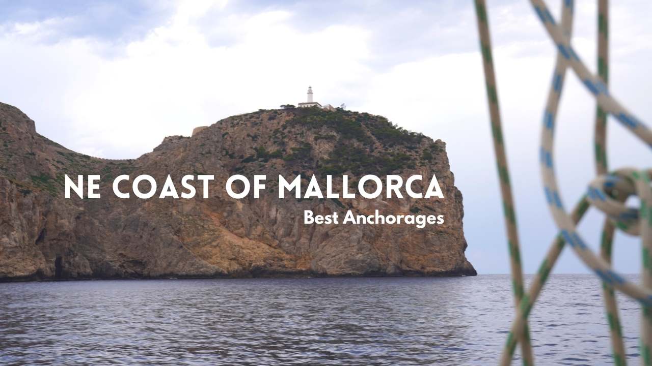
→ Anchorages: the entire Formentor peninsula coast · Cala Murta, Cala Figuera, Formentor Beach, Cala Sant Vicenç.
→ Best for: family cruising, calm sailing, base for Menorca crossings, service stop.
E · The Caves Coast (Cala Ratjada → Cala Figuera Santanyí · ~70 km)
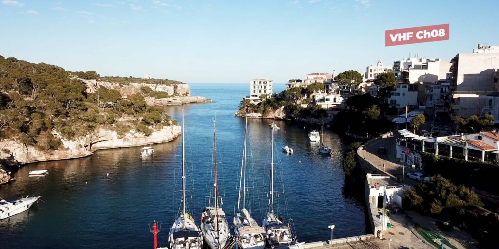
→ String of natural-harbour marinas set in narrow estuary inlets · sheltered from prevailing N/NW · exposed to E/SE.
→ Major marinas: Porto Cristo (Caves of Drach · 213 berths), Portocolom (252 berths · undeveloped charm), Cala d’Or (563 berths · resort).
→ Hidden calas: Cala Varques, Cala Magraner, Cala Mondragó (national park) · sandy bottoms, turquoise water · daytime anchorages.
→ Best for: calas-and-caves cruising, undeveloped sandy beaches, Caves of Drach + Hams.
S/SW · Bay of Palma + Resort Coast (Cabrera → Andratx · ~100 km)
→ Bay of Palma is the largest open bay on the island · the capital city + 8+ marinas + the millionaire’s coast.
→ Cabrera National Park (50 buoys · advance permit) sits 10 NM S of Mallorca’s S coast.
→ Major marinas: Real Club Nàutic Palma (971 berths), Club de Mar (575 berths · superyachts), Puerto Portals (639 berths · designer), Port Adriano (Philippe Starck), Port d’Andratx (475 berths).
→ Best for: service hub, charter base, restaurants + culture, megayacht facilities.
Winds & Weather — The Balearic Wind Names
The Balearics use the traditional Mediterranean wind names · learn the eight directions and the local names tell you immediately what to expect from the boat behaviour, the swell pattern, and which anchorages will work.
→ Tramontana (N): the dominant winter wind · descends from the Pyrenees through the Gulf of Lion · cold, sudden onset, high speeds · most intense on the NW coast (the entire Serra de Tramuntana is named after this wind) · “perdre la tramontana” (Catalan) = to lose your bearings · winter and early spring
→ Mistral / Mestral (NW): related to Tramontana · cold, dry · winter dominant · pushes the Bay of Palma into uncomfortable chop
→ Gregal (NE): moisture-laden, often cold · rough seas · most frequent in February · can persist days at a time
→ Llevant / Levante (E): warm, moisture-bringing · can produce heavy swell on E + SE coasts of Mallorca
→ Xaloc / Sirocco (SE): Saharan origin · warm, sometimes humid · dust-laden · daily afternoon intensification in summer = “Migjorn”
→ Migjorn (S): midday/southern wind · summer dominant on the S coast between Cap de Ses Salines and Cabrera
→ Llebeig / Garbí (SW): southwesterly · Saharan dust → orange skies · warm, humid · autumn intensification
→ Ponent / Poniente (W): westerly · usually mild in summer · stronger in transitional seasons
Embat — the summer thermal: the daily summer breeze cycle · light morning, picks up to 10-15 kn by mid-afternoon, dies at sunset · the most reliable sailing wind from May through August · ends in late August, September is unpredictable.
Coast-by-coast summer winds: SE coast (Cabrera → Capdepera) gets S quadrant (Xaloc/Migjorn/Llebeig) · NE coast (Formentor → Capdepera) gets NE · NW coast variable · SW coast variable + SW.
Sailing Seasons — When to Go
→ May: excellent · thermal winds establishing · 20-25°C air · 18-19°C water · quiet anchorages · competitive charter rates · low crowds
→ June: very good · reliable Embat · 22-24°C water · increasing crowds, manageable · best balance of weather + space
→ July: peak crowds · 28-32°C air · 25°C water · marinas often full · book months ahead
→ August: peak peak · “August in Mallorca” = vacation rush · expensive, crowded, hot · 27°C water
→ September: “Indian summer” · 24-27°C water · winds become unpredictable (thermals fade) · crowds drop · favorite among experienced cruisers
→ October: shoulder season · 22-25°C air · 22°C water · occasional storms · still pleasant for cruising · light crowds
→ November-March: off-season · Tramontana wind frequent · most marinas have winter-rate berths · for experienced sailors only · NW coast can be dangerous
→ April: early season · weather variable · spring blossoms ashore · winds still occasionally strong · charter rates low
The 10 SeaTV Pages — Mallorca Coverage
SeaTV covers the full circle of the island · from the cliff-edge marinas of the SW, through the calas of the SE, around to the caves coast of the E, the twin bays of the N/NE, and back via the only safe harbour on the entire NW coast.
NW · Tramuntana Coast
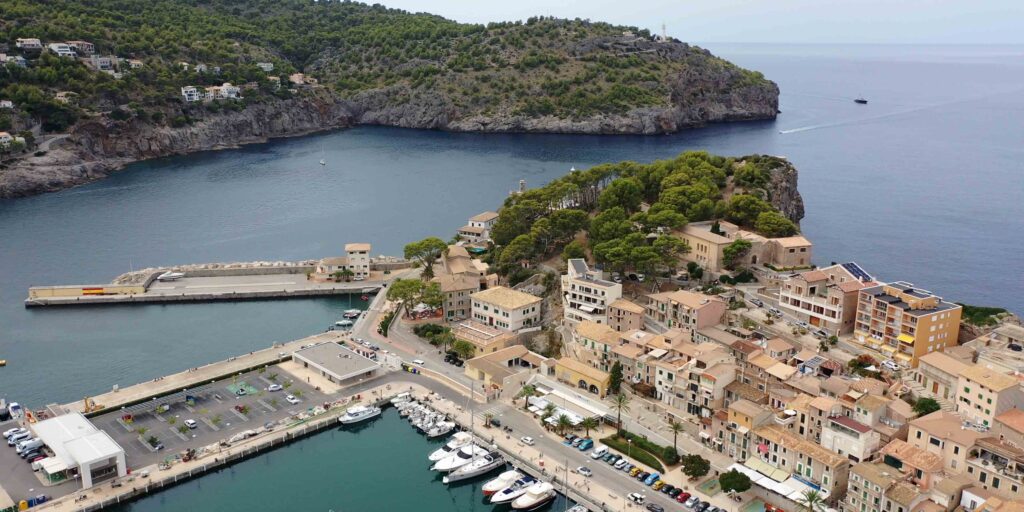
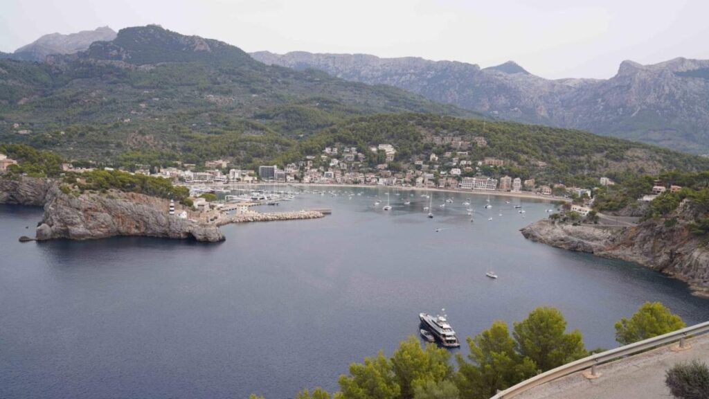
→ Port de Sóller — the only safe harbour on 90 km of cliff coast · Marina Tramontana ~64 berths (12-60 m, 5 m draft) + municipal port ~465 berths · 1912 wooden tram + railway · UNESCO Tramuntana base
N/NE · Twin Bays + Formentor Peninsula
→ Cala Murta · Formentor — virgin S-shaped pebble cove · 5.9 NM N of Pollença · zero services · pure anchorage · UNESCO protected
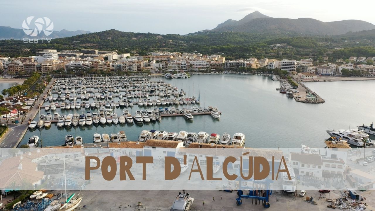
→ Port d’Alcúdia (Alcudiamar) — 700 berths · 80+150 ton lifts · NE service hub · medieval old town · Roman Pollentia ruins
E · The Caves Coast
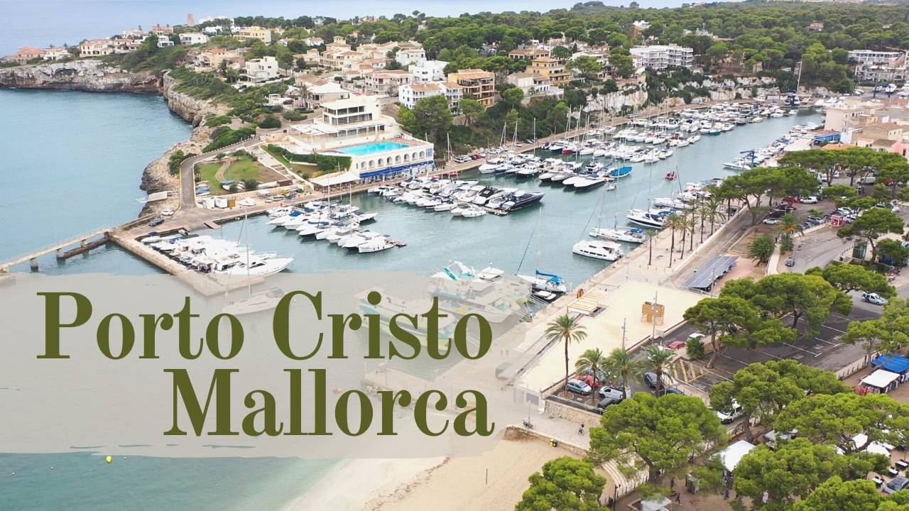
→ Porto Cristo — 213 berths · 20 min walk to Cuevas del Drach (Lake Martel · daily classical concert) · Cuevas del Hams nearby
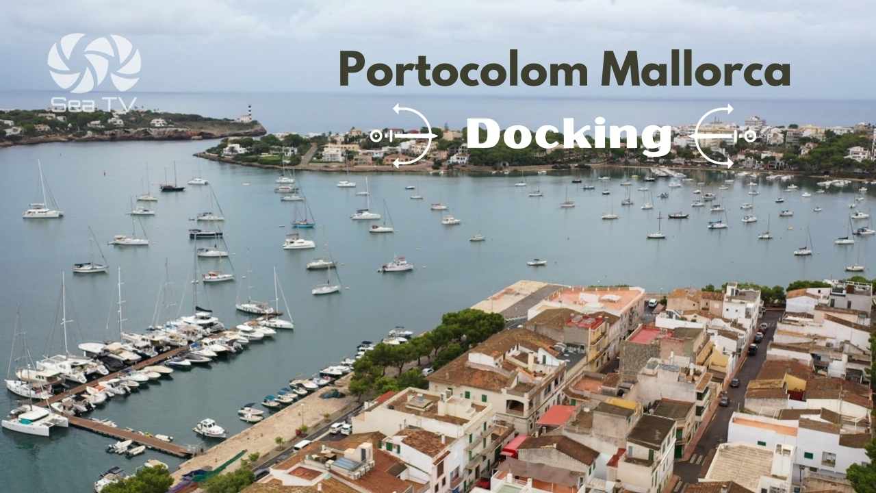
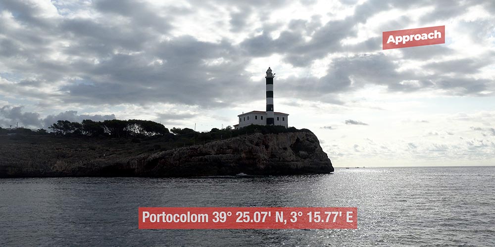
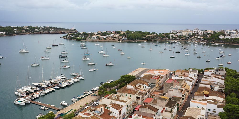
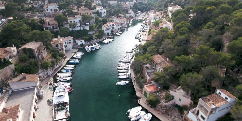
→ Portocolom — Mallorca’s largest natural harbour · 252+ berths · undeveloped fishing-village character · hosts ORC regatta season
SE · Santanyí Region + Cabrera
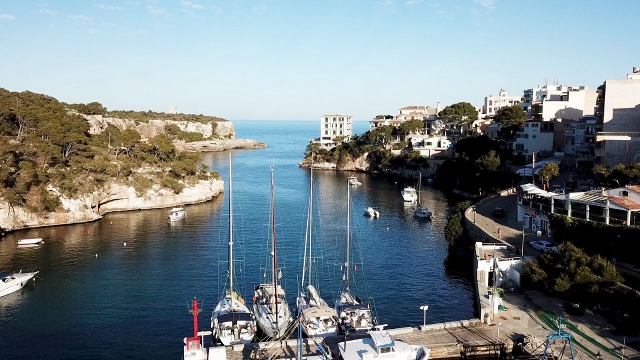
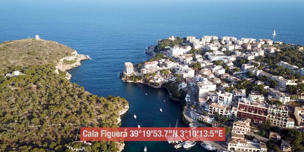
→ Cala Figuera (Santanyí) — Y-shaped fjord · 14C Torre d’en Bèu · Mondragó Natural Park nearby · ⚠ NOT same as Formentor’s Cala Figuera
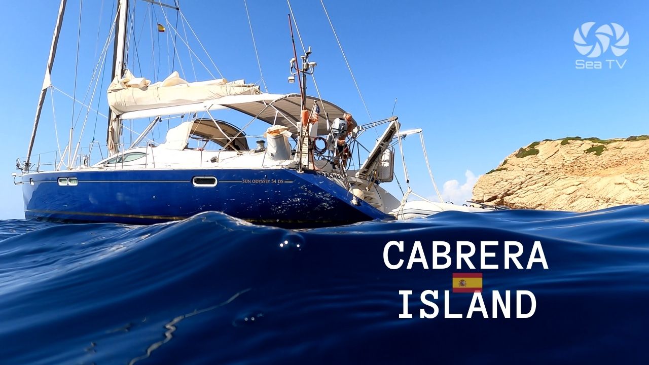
→ Cabrera Archipelago National Park — 50 buoys · advance permit FREE valid 1 year · ⚠ ANCHORING FORBIDDEN · 14C castle · Napoleonic prisoner history (9000 French POW 1809-1814)
S · Es Trenc + Bay of Palma Approach
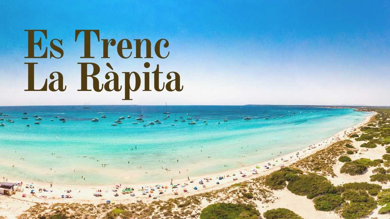
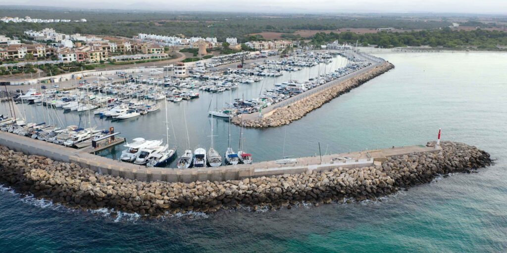
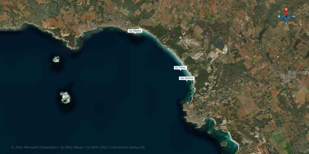
→ La Rapita Marina (Es Trenc) — 480 berths · adjacent to Es Trenc 3-km undeveloped beach + Salobrar de Campos salt flats · closest mainland marina to Cabrera (~12 NM)
SW · Cliff-Edge Resorts + Andratx
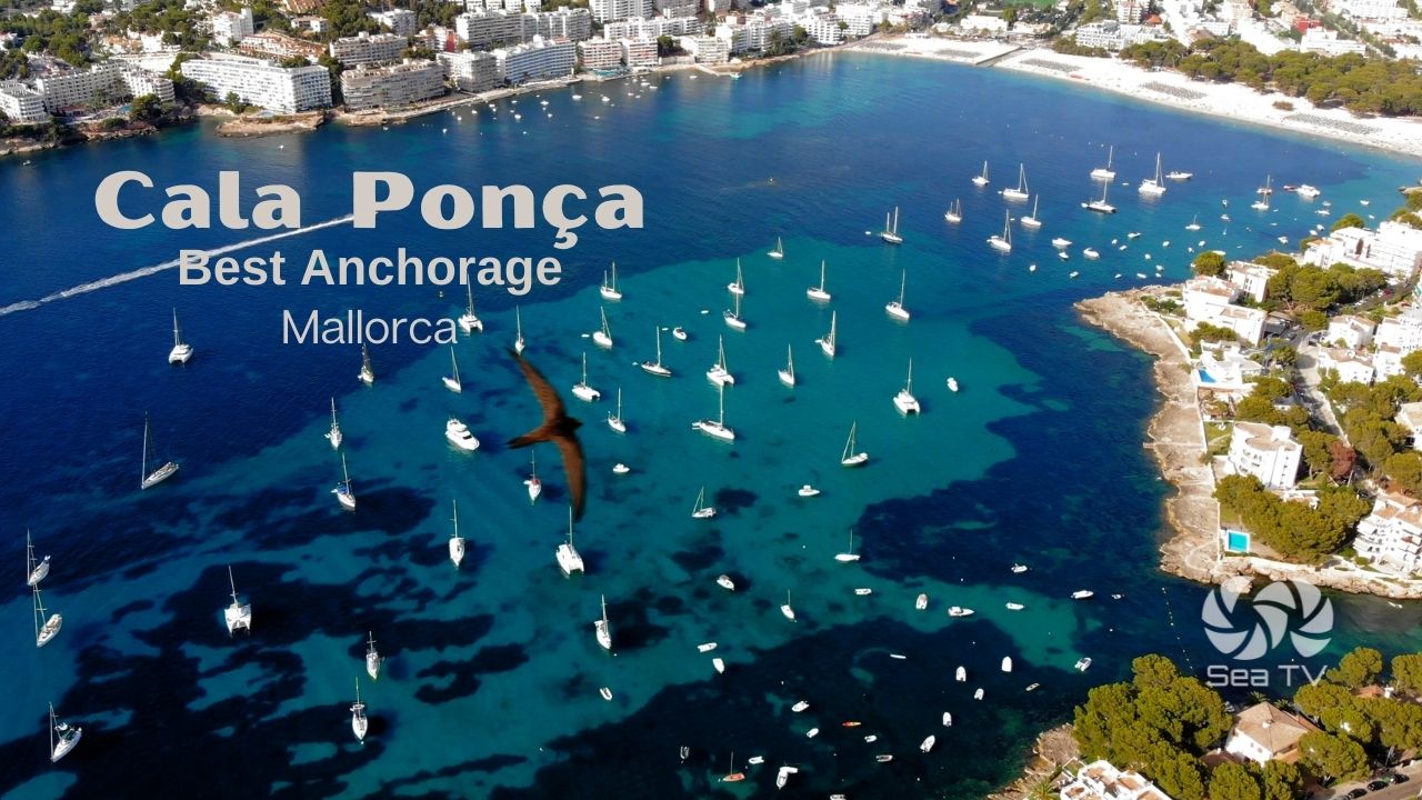
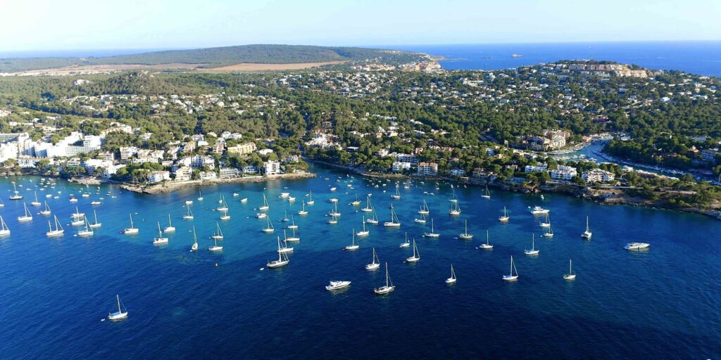
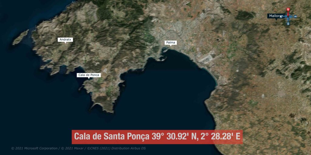
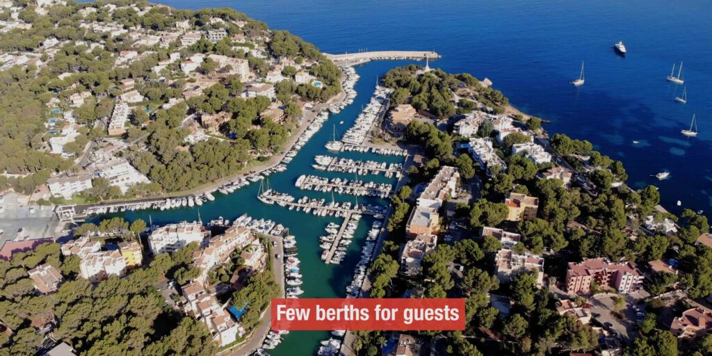
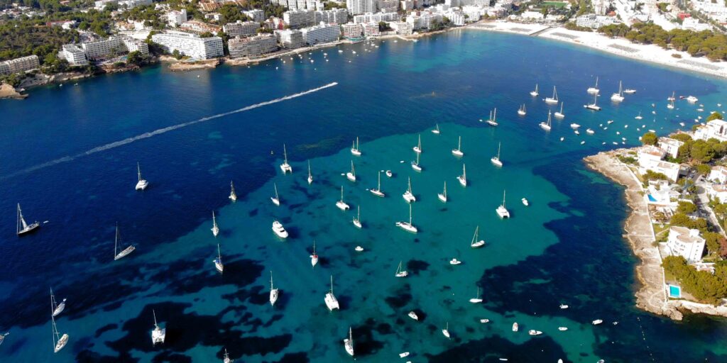
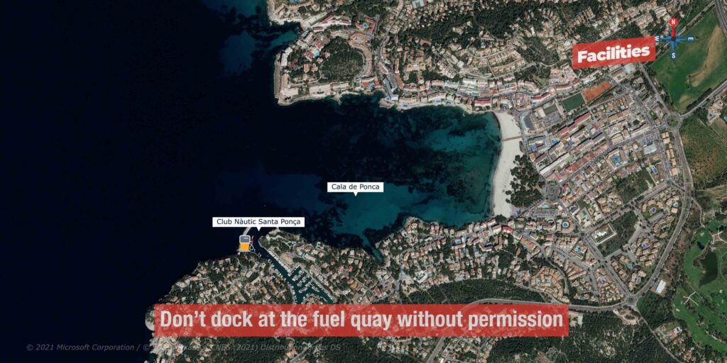
→ Cala de Santa Ponça — 522 berths · max draft 8 m (deep!) · King James I landed here 11 Sept 1229 (Aragonese conquest of Mallorca)
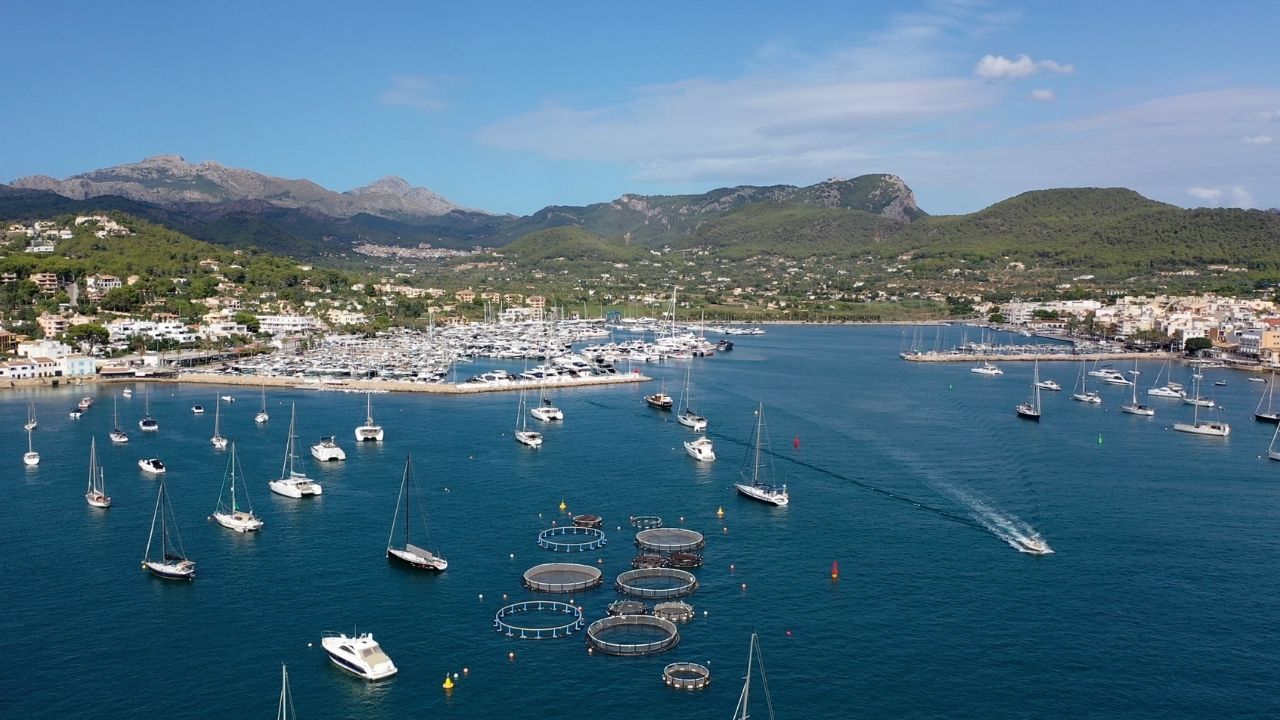
→ Port d’Andratx — Club de Vela 475 berths · 100-ton lift · prestigious natural harbour · gateway to NW coast · ⚠ winter W gales historically destructive
Posidonia Protection — The Anchoring Rules
Posidonia oceanica is the endemic Mediterranean seagrass · creates the meadows that produce the turquoise-clear water of the Balearics · UNESCO-protected ecosystem · grows ~1 cm/year (some Mallorcan meadows are 100,000+ years old).
Since 2018: the Balearic Government’s Decree 25/2018 prohibits anchoring on Posidonia meadows · enforcement by Maritime Authority + drones · fines €1,200 for individuals up to €100,000 for serious violations.
In practice:
→ Use the free Posidonia Maps mobile app (Govern de les Illes Balears) to identify sandy patches in any anchorage
→ White / pale sandy patches = OK to anchor · darker green/brown patches = Posidonia (DO NOT)
→ In high-traffic anchorages, sandy patches may be marked with mooring buoys (use those instead)
→ The free Donia app also shows seabed type for popular Balearic anchorages
⛵ Sample Cruising Routes
7-day route (around the island, anti-clockwise from Palma)
→ Day 1: Palma → Andratx (~15 NM) · settle in, swim, evening in town
→ Day 2: Andratx → Sa Foradada → Port de Sóller (~30 NM) · committed Tramuntana coast day
→ Day 3: Sóller → Sa Calobra (day) → Port de Pollença (~35 NM) · the Tramuntana scenery
→ Day 4: Pollença → Cala Murta → Formentor (~10 NM) · day at the Formentor calas
→ Day 5: Formentor → Porto Cristo (~30 NM) · Caves of Drach evening visit
→ Day 6: Porto Cristo → Cala Mondragó → Cala Figuera (~25 NM) · the SE calas
→ Day 7: Cala Figuera → Es Trenc → Palma (~30 NM) · final beach day, return base
14-day route — Mallorca + Cabrera + Menorca crossing
→ Days 1-4: Palma → Andratx → Sóller → Pollença (Tramuntana coast)
→ Days 5-7: Pollença → Ciutadella (Menorca, ~22 NM) → Maó → Fornells → back to Pollença or Alcúdia
→ Days 8-10: Alcúdia → Porto Cristo → Portocolom → Cala d’Or
→ Days 11-12: Cala d’Or → La Rapita → Cabrera (advance permit required)
→ Days 13-14: Cabrera → Bay of Palma → Palma (final base)
Direction tip — anti-clockwise
Most experienced Balearic cruisers circle Mallorca anti-clockwise · this keeps the exposed NW Tramuntana coast to port · gives you the option to bail to E coast safe harbours (Pollença, Alcúdia, Porto Cristo) if the Tramontana fills in unexpectedly · attempting the NW coast S→N (clockwise) leaves you with no escape route if the wind backs.
Charter Bases & Practical Logistics
Major charter bases:
→ Palma de Mallorca · the largest charter base in the western Mediterranean · all major operators · all sizes from monohulls to large catamarans · ~25 min from airport
→ Port d’Andratx · smaller base, premium operators · 50 min from airport
→ Alcudiamar (Port d’Alcúdia) · NE base · good for Menorca-focused itineraries · 1 hr from airport
→ Port de Pollença · NE base · less commercial · also good for Menorca crossings
Airport & access: Palma de Mallorca Airport (PMI) · the 3rd-busiest in Spain · ~30 million passengers/year · direct flights from most of Europe · ~25 min by taxi/bus to Palma marinas, ~50 min to Andratx, ~1 hr to Alcúdia or Pollença, ~50 min to Sóller via the tunnel.
Provisioning: all major marinas have supermarkets · best fresh produce at the Tuesday/Sunday markets in Alcúdia, Saturday market in Sóller, daily Mercat de l’Olivar in Palma · Mercadona and Lidl supermarkets across the island.
Fuel: all major marinas have fuel docks · Andratx, Palma (multiple), Alcudiamar, Sóller, Porto Cristo, Portocolom, La Rapita, Santa Ponça.
Reservations: portsib.es (municipal moorings) · individual marina websites or marinareservation.com / metarina.com / portbooker.com / marina-reservation aggregators.
Emergency & Practical Contacts
Emergency: 112 (national)
Maritime SAR (Salvamento Marítimo Palma): 900 202 202 / 971 728 081
VHF distress: Channel 16
Hospital Son Espases (Palma · main): +34 871 205 000
Cabrera National Park reservations: caib.es/rescabfront/
Posidonia maps app: “Posidonia Maps” by Govern de les Illes Balears (free · iOS + Android)
Palma airport: aena.es
Spanish weather (AEMET): aemet.es · maritime forecasts in English
⛵ Continue Exploring the Balearics
→ Menorca (~30 NM NE) — quieter sister island · UNESCO Biosphere · Maó natural harbour
→ Andalusia (Spanish mainland)
“Mallorca is the most varied single island cruising ground in the western Mediterranean · three thousand six hundred forty square kilometers and five hundred fifty five kilometers of coastline · four genuinely different sailing experiences depending on which side of the island you are on · the northwest Tramuntana coast is ninety kilometers of vertical limestone cliffs with one safe harbour at Port de Sóller and everything else daytime calm weather only · the north and northeast corner has the twin bays of Pollença and Alcúdia with the Formentor peninsula between them and Cala Murta and Port d’Alcúdia for the family cruising · the east coast is the string of natural harbour marinas with Porto Cristo for the Caves of Drach and Portocolom for the undeveloped fishing village character · the southeast has Cala Figuera Santanyí and the Cabrera National Park ten miles offshore with the fifty buoys and the advance permit · the south has La Rapita next to Es Trenc beach and the salt flats and the closest mainland marina to Cabrera · the southwest has Santa Ponça where King James the First landed in twelve twenty nine and Port d’Andratx the prestigious natural harbour that gates the entire Tramuntana coast · the winds have the traditional Balearic names Tramontana from the north Mistral from the northwest Gregal from the northeast Llevant from the east Xaloc from the southeast Migjorn from the south Llebeig from the southwest Ponent from the west · the Embat is the summer thermal that picks up to ten or fifteen knots by mid afternoon and dies at sunset and is the most reliable sailing wind from May through August · the Posidonia seagrass anchoring ban is the rule that changes everything since twenty eighteen so use the Posidonia Maps app to find the sandy patches · the marina prices are high the bookings need months ahead and the reservations system runs through portsib for municipal and individual marina websites for private but the cruising distances are short the services are abundant and the infrastructure is some of the most developed in the Mediterranean · circle the island anti clockwise to keep the Tramuntana coast to port and the east coast safe harbours always available as the bail out · five hundred fifty five kilometers and ten SeaTV pages and one of the great single island cruising grounds anywhere.”
— SeaTV · Mallorca · Complete Cruising Hub · 555 km · 10 Pages