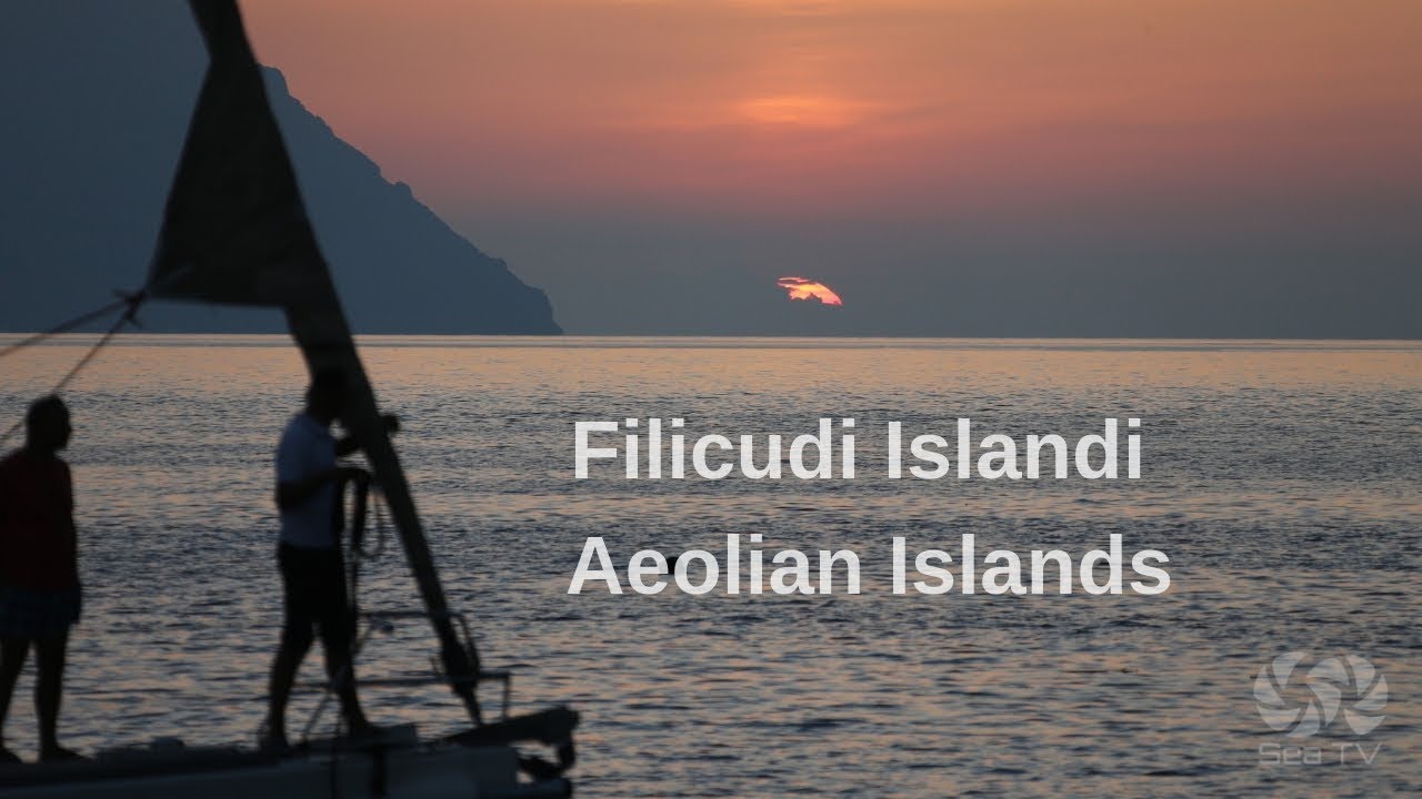
Filicudi is the sixth-largest Aeolian Island — 9.5 km², 24 nm west of Lipari — and the wildest, most untouched island in the archipelago. Anciently called Phoenicusa for its abundant ferns, it feels like a different century. No ATMs, no banks, no nightclubs. One hotel, one small restaurant (closed mid-September). The highest point is Monte Fossa Felci at 774m, a dormant volcano. The island’s three villages — Filicudi Porto, Valdichiesa, and Pecorini a Mare — are connected by the only paved road, a few hundred metres long. Electricity arrived relatively recently. The sky here is dark enough to see the Milky Way with the naked eye, and from Filicudi the night view of a smouldering Stromboli on the eastern horizon is one of the finer experiences in the Aeolians.
⚓ Anchorages — Quick Facts
| Anchorage | Coordinates | Depth | Notes |
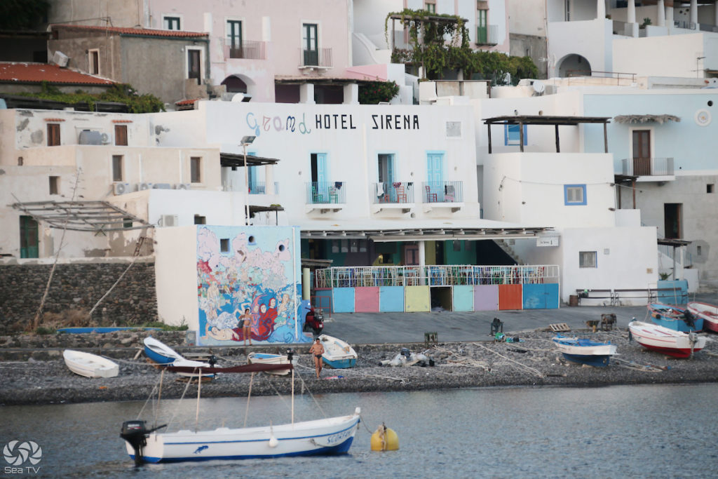
| Filicudi Porto | 38°34.3’N / 14°34.4’E | Variable | Main port and ferry terminal. Anchor or pick up buoy. Access to village, trattoria. Capo Graziano prehistoric site nearby. |
| Pecorini a Mare | 38°33.29’N / 14°33.56’E | Variable | S coast. Mooring buoys in front of village. Most beautiful anchorage on the island. Black pebble beach, colourful fishing boats, low fishermen’s houses. |
| Montenassari Rock | W coast | 12–16m, rocky | Day stop only. Excellent snorkelling. Rocky seabed — no overnight. Near La Canna stack and Grotta del Bue Marino. |
| Punta Perciato area | W coast | Variable | Lava promontory with sea-carved passage. Lunch stop. Adjacent to Grotta del Bue Marino. |
Approach Notes
Filicudi Porto is the main docking point for ferries and hydrofoils. Approach from the east — Capo Graziano, the prominent rocky promontory on the right as you enter, is immediately recognisable. The small bay is sheltered and calm in settled conditions. Pecorini a Mare on the south coast has mooring buoys and is generally considered the finest anchorage on the island for overnight stays.
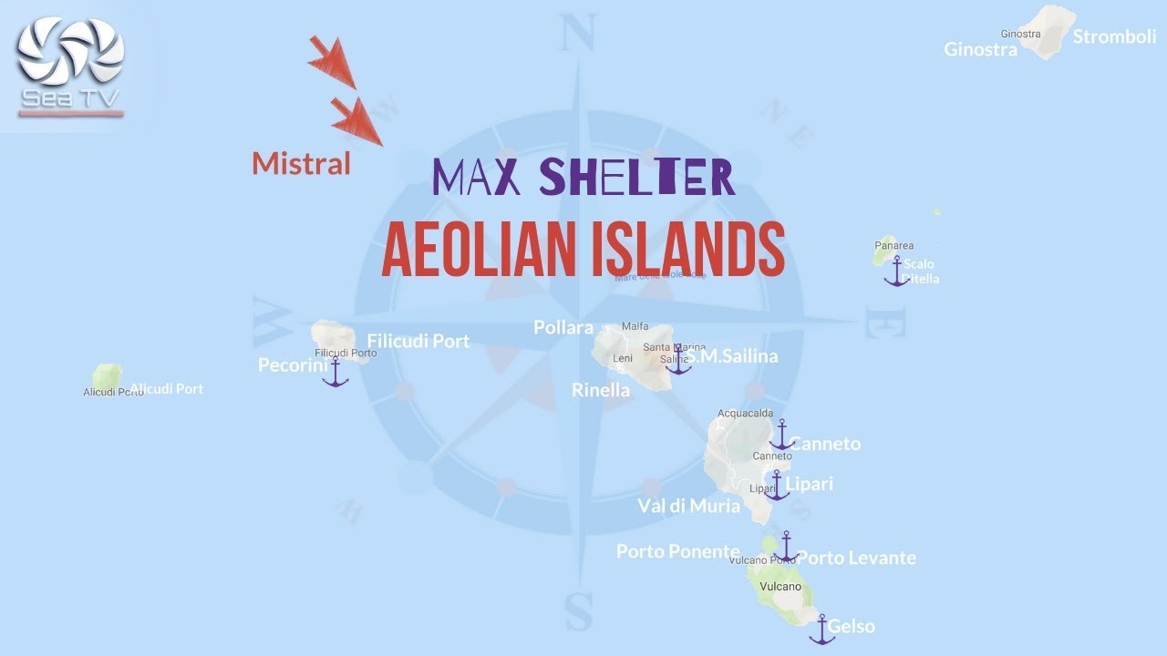
⚠ Western approach: The west coast of Filicudi — the approach to La Canna, Grotta del Bue Marino, and Montenassari — requires care. The rocky seabed, exposed coast, and distance from any shelter mean this area should only be approached in settled conditions with no swell from the W or NW. Day visits only near the western stacks.
The Coast by Boat — Must-See
Grotta del Bue Marino — Sea Ox Cave
The largest sea cave in the entire Aeolian archipelago, on the western shore of Filicudi. Named by old fishermen for the bellowing sounds produced when the sea surges against the rocks inside — sounds like an ox. The cave is 30 metres wide with extraordinarily crystalline depths; the plays of reflected light inside are considered the most spectacular in the archipelago. Once a refuge for Mediterranean monk seals (bue marino = sea ox, the fishermen’s name for the monk seal). Reachable by dinghy in calm conditions.
La Canna — The Stack
A solitary basalt sea stack rising 70–85 metres from the water, approximately 1 km off the western tip of Filicudi, near Scoglio Montenassari. One of the most dramatic natural landmarks in the Aeolians — a near-vertical column of volcanic rock surrounded by crystal water. Legend holds that if you touch La Canna, your wishes will come true. Many consider it the spiritual guardian of the island. Approach by dinghy in flat calm; the water underneath is exceptionally clear with diverse fish life.
Scoglio della Fortuna — Rock of Fortune
A concave-shaped rock on the western coast that encloses a natural pool of crystal-clear water. Excellent for swimming and snorkelling. Part of the same western coast circuit as La Canna and the Grotta del Bue Marino.
Punta Perciato
A lava promontory on the western coast where the sea has carved a natural passage through the rock. An unusual geological formation — you can pass through it in a dinghy in calm conditions. Adjacent to the Grotta del Bue Marino.
️ Archaeology
Villaggio Preistorico di Capo Graziano
On the promontory of Capo Graziano, immediately SE of Filicudi Porto, stand the remains of a Bronze Age village dating to around 1800 BC — 27 huts on a natural fortress overlooking the sea. The site is fenced and access is via a watchman. The ceramics and artefacts found here are on display at the Museo Eoliano in Lipari. The site also commands one of the finest panoramic views on the island.
Underwater Archaeological Site — Capo Graziano
The seabed at Capo Graziano contains at least nine Greek and Roman shipwrecks — one of the richest underwater archaeological sites in the Aeolian Islands. Diving is permitted only with an authorised diving centre and a minimum level 2 licence. The wrecks lie at accessible depths and include relics from Magna Graecia.
Hiking
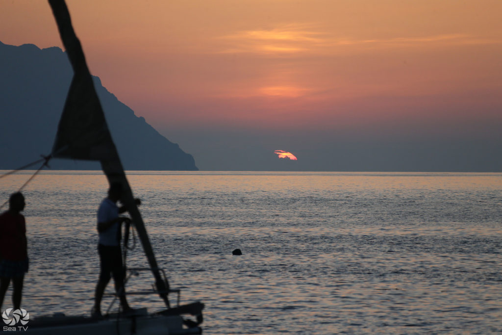
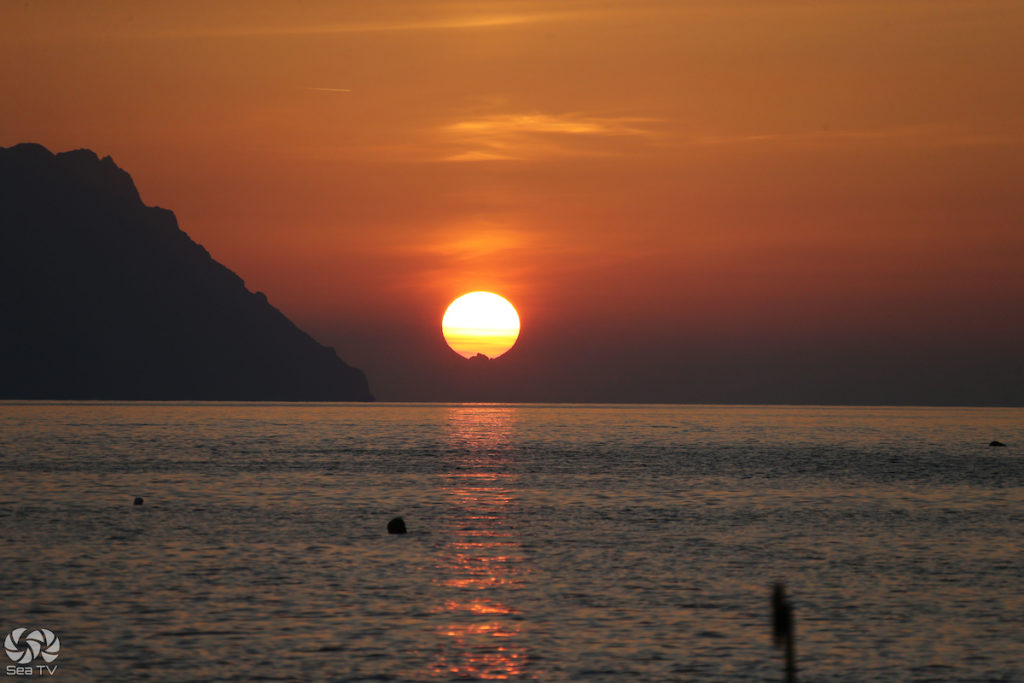
Filicudi has an extensive network of old trails and mule tracks crossing the island’s terraced hillsides. The main hike ascends to Monte Fossa Felci (774m), the dormant volcanic summit — panoramic views over the entire archipelago including Stromboli, Salina, and on a clear day the Sicilian coast. The village of Zucco Grande, now largely abandoned, lies on the slopes. The viewpoint at Valdichiesa is recommended for sunset — looking west towards Alicudi with the last light behind it.
️ Practicalities
Filicudi has one hotel and one small trattoria at the port — the restaurant closes in mid-September. No ATMs, no banks, no shops of consequence. Bring everything you need from Lipari or Salina. The Malvasia dessert wine is made here too — smaller production than Salina but excellent. The island is best visited as a day stop on passage between Salina and Lipari, or as a deliberate slow destination for those who want two or three days of complete quiet.
Sailor’s tip: The standard Aeolian circuit passes Filicudi quickly — most charter groups do the Grotta del Bue Marino and La Canna circuit by dinghy as a morning stop, then move on. But Filicudi rewards anyone who stays overnight at Pecorini a Mare. The complete silence after dark, the stars with no light pollution, and the distant glow of Stromboli on the horizon are what the island is really about. Provision at Salina before arriving — nothing is available here.
✅ Safety Checklist
- West coast (La Canna, Grotta, Montenassari): settled conditions and no W/NW swell only
- Montenassari anchorage: rocky seabed — day stop only, no overnight
- Capo Graziano underwater site: diving with authorised centre + min. level 2 licence only
- No ATMs, no fuel, no significant provisioning — stock up at Salina or Lipari
- Restaurant closes mid-September — verify before relying on it
- No street lighting — torch essential for going ashore at night
- Pecorini a Mare buoys: seasonal availability — confirm on arrival