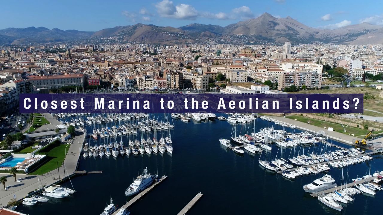
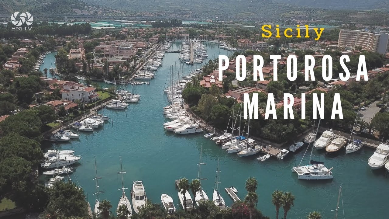
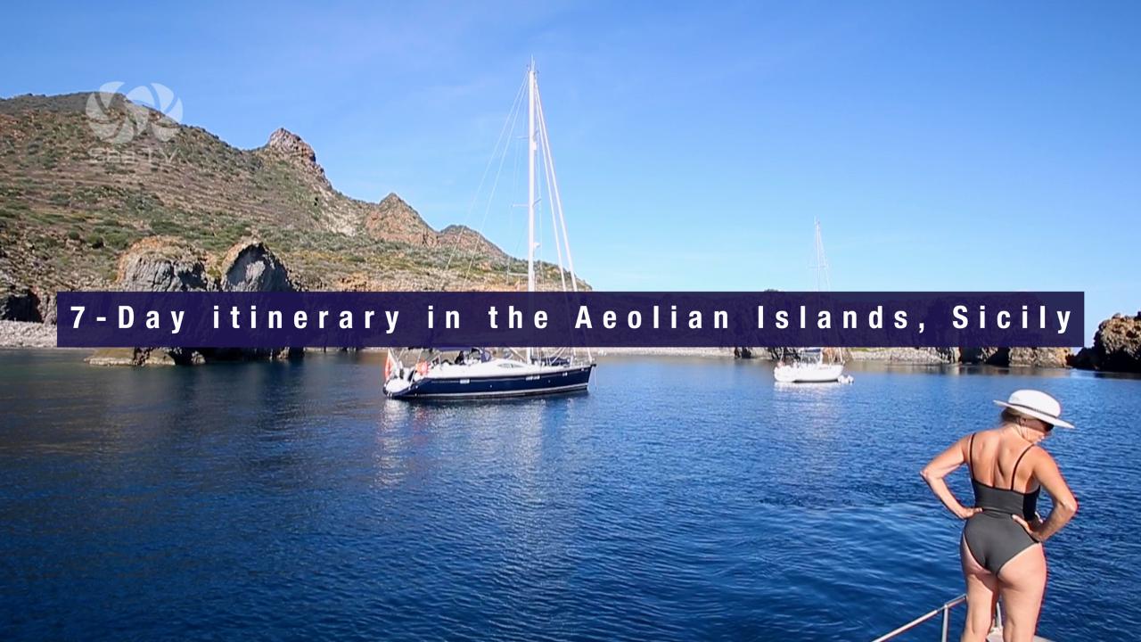
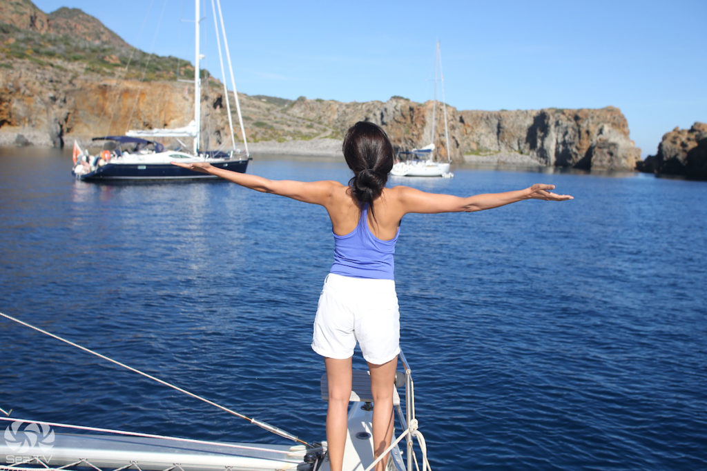
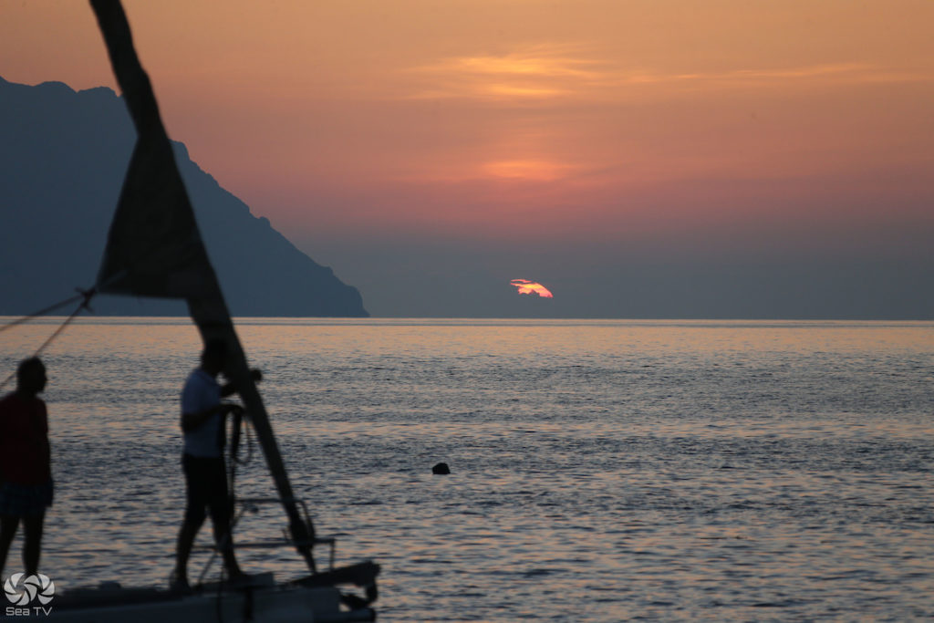
The Aeolian Islands are a UNESCO World Heritage archipelago of seven volcanic islands rising from the Tyrrhenian Sea, 15–50 nautical miles off the north coast of Sicily. Named after Aeolus, the Greek god of the winds, they are among the most extraordinary sailing destinations in the Mediterranean — active volcanoes, obsidian cliffs, thermal mud baths, crystalline anchorages, and a social spectrum that runs from the exclusive glamour of Panarea to the complete silence of Filicudi. The main charter base is Marina di Portorosa, 15 nm south of Vulcano on the Sicilian coast. A one-week circuit from Portorosa covers five to six islands comfortably.
✈️ Getting There
| Airport | Distance to Portorosa | Notes |
| Catania Fontanarossa (CTA) | ~150 km / 2–2.5 hrs | Most common arrival. Direct flights from many European cities. |
| Palermo Falcone-Borsellino (PMO) | ~180 km / 2.5 hrs | More international connections. |
| Reggio Calabria (REG) | ~90 km + Strait ferry | Less common but closer. |
️ Weather & Sailing Season
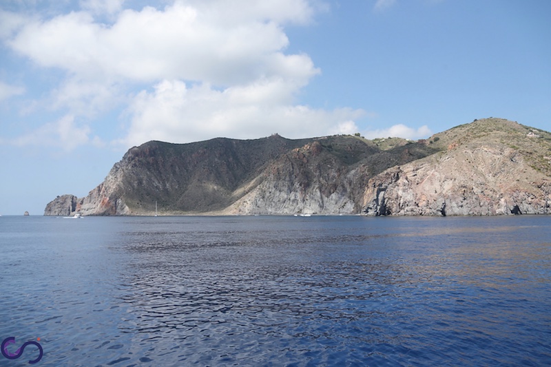
The sailing season runs May to October. The Aeolians take their name from Aeolus — the winds here are real. They are rated a Level 2 sailing area, suitable for experienced sailors, not beginners.
| Wind | Direction | Season | Character |
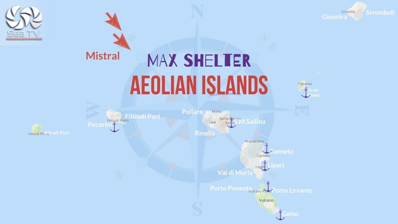
| Maestrale | NW | Year-round, peaks summer | Dominant wind. Afternoon build. Can reach F6–7. Outbound from Portorosa (NW) is into the wind. |
| Ponente | W / SW | Summer afternoons | Thermal wind building from midday. 15–25 knots typical. |
| Gregale | NE | Spring, autumn | Cold and gusty. Can be significant between islands. |
| Scirocco | SE / S | Spring, autumn | Hot and humid. Uncomfortable on east-facing anchorages. |
Best months: June and September — reliable wind, uncrowded anchorages, comfortable temperatures. July–August: peak season, buoy fields full by midday, marina prices highest. Squalls between islands are possible but rarely long-lasting.
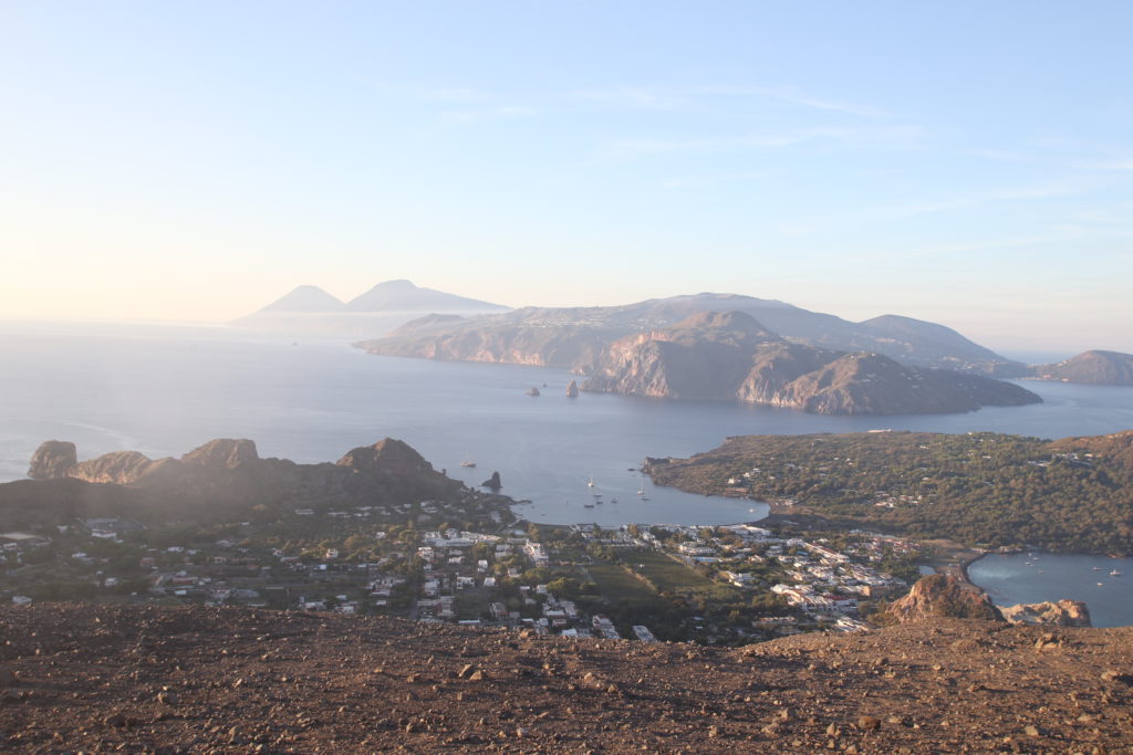
⚓ The Seven Islands — at a Glance
| Island | Distance from Portorosa | Character | SeaTV Guide |
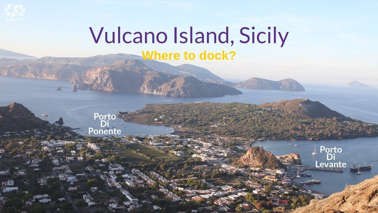
| Vulcano | 15 nm | Active volcano. Mud baths. Gran Cratere hike. Black sand. | Guide → |
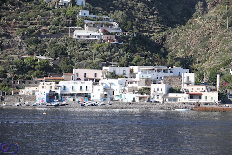
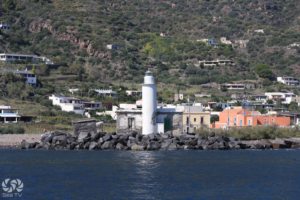
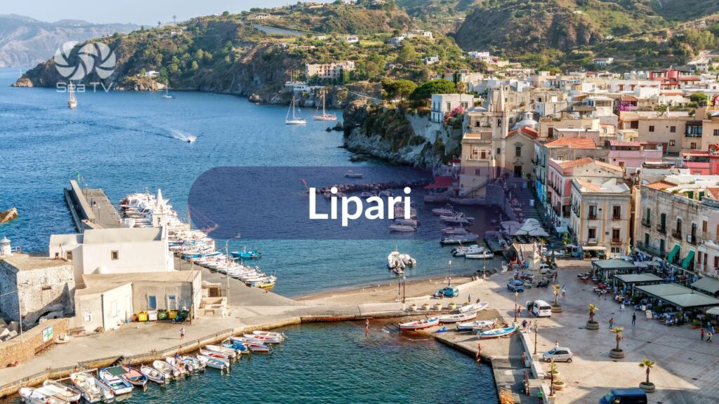
| Lipari | 22 nm | Largest island. Best provisioning. Museo Eoliano. Obsidian. Pumice. | Guide → |
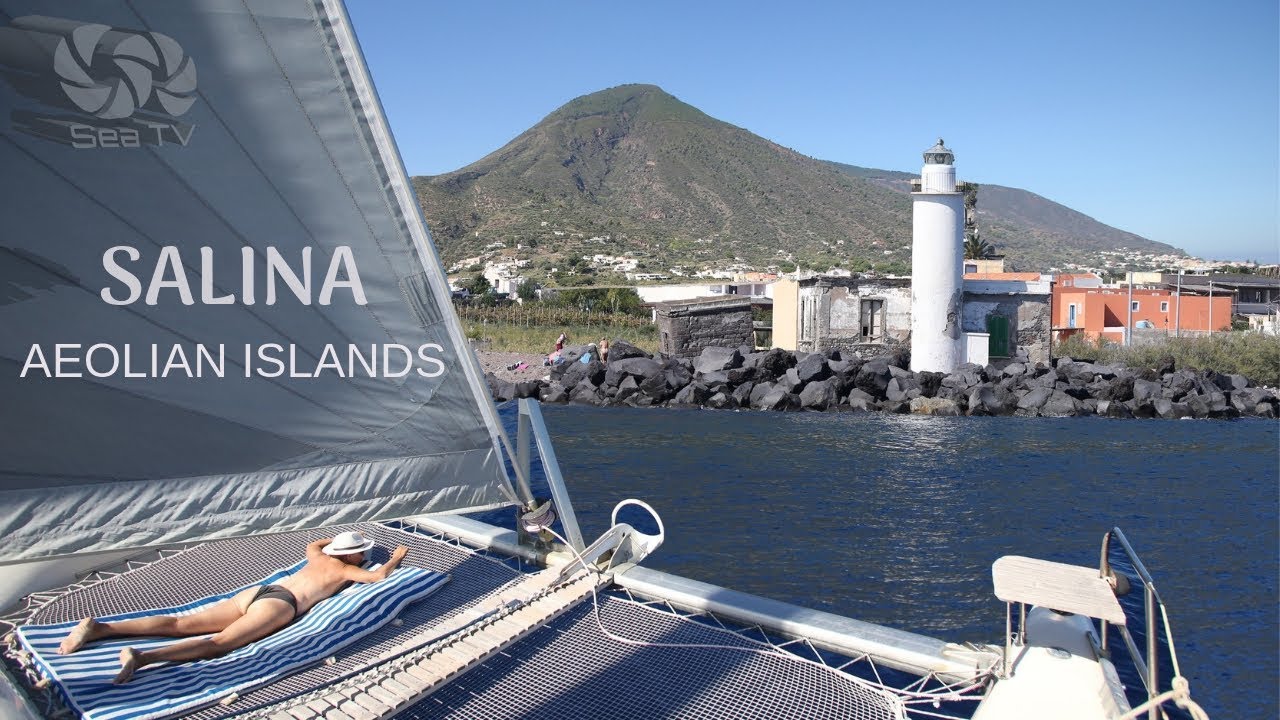
| Salina | 28 nm | Greenest island. Malvasia wine. Capers. Pollara — Il Postino. | Guide → |
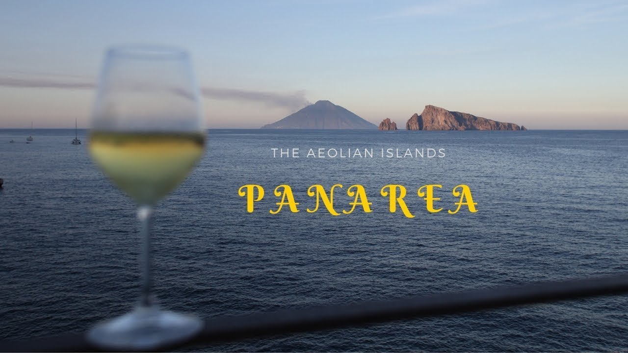
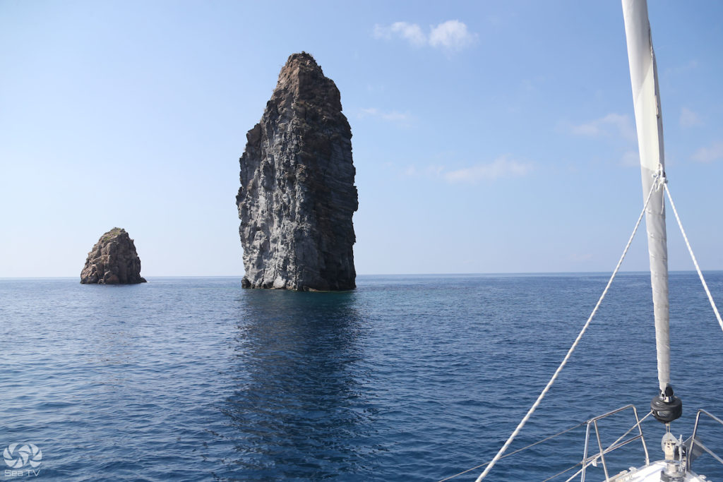
| Panarea | 35 nm | Smallest. Most exclusive. Cala Junco. Bronze Age village. Raya nightlife. | Guide → |
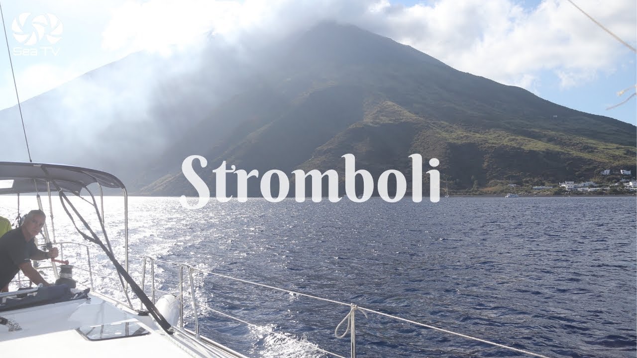
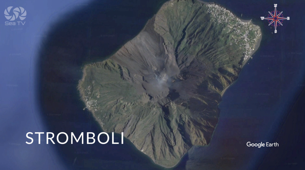
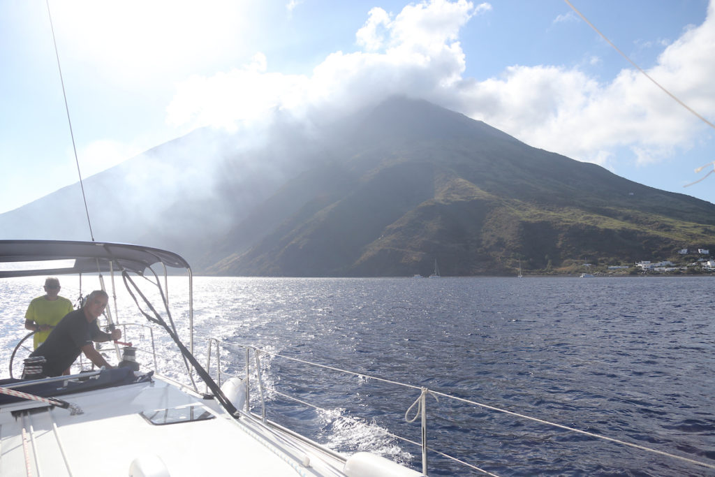
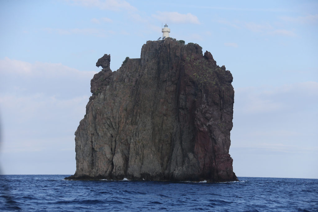
| Stromboli | 50 nm | Active volcano. Night lava. Lighthouse of the Mediterranean. No shelter. | Guide → |
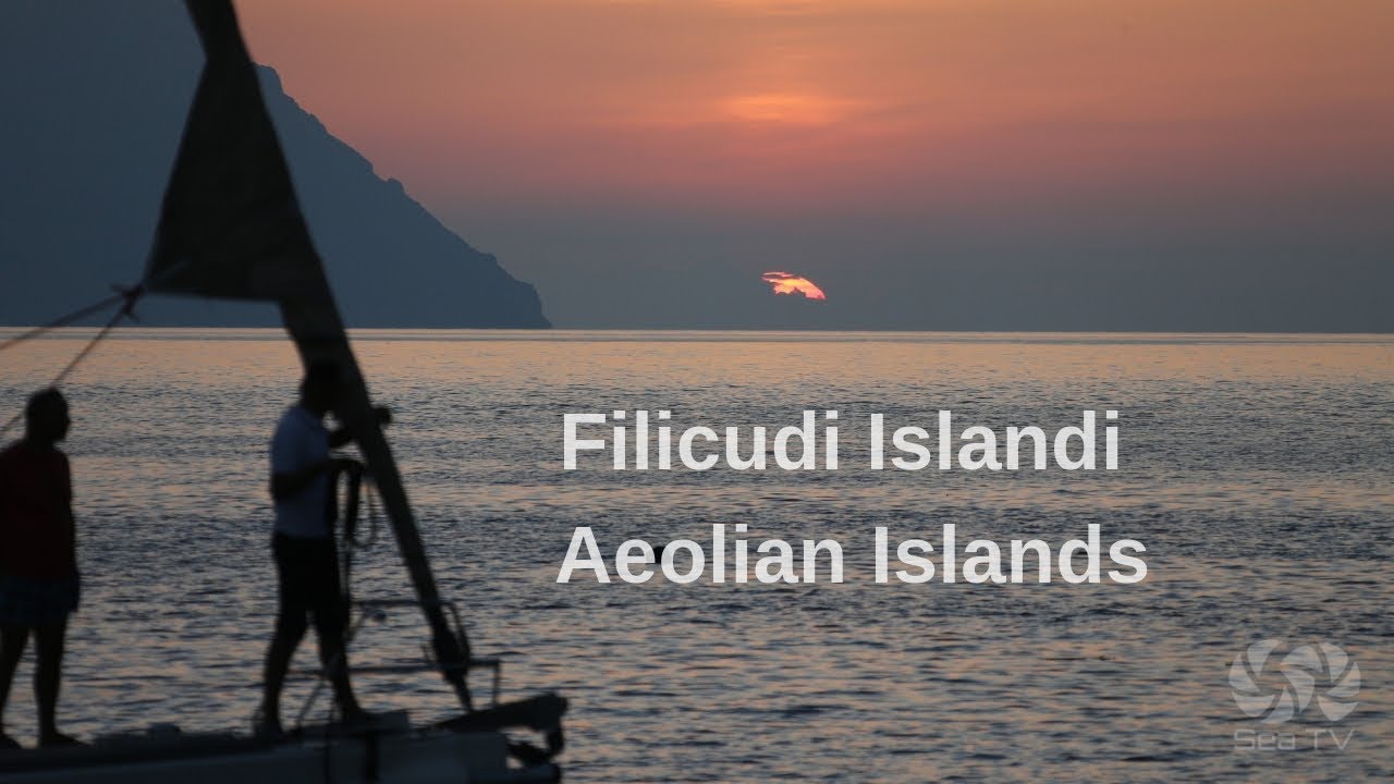
| Filicudi | 38 nm | Wildest island. Grotta del Bue Marino. La Canna. No ATMs. | Guide → |
| Alicudi | ~50 nm | Most remote. No roads, no vehicles. Mules. One restaurant. Off-grid. | — |
️ Charter Base & Marinas
| Marina | Location | SeaTV Guide |
| Portorosa | Sicily — 15 nm S of Vulcano. 700 berths. Blue Flag. Charter hub. | Guide → |
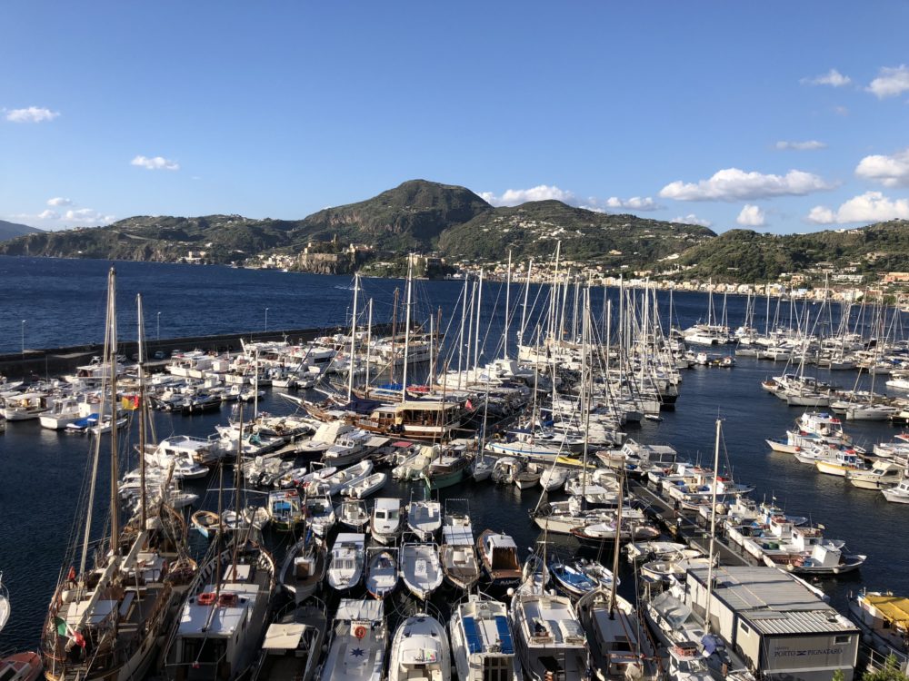
| Marina Lunga (Lipari) | Main Lipari port. 200 berths. Fuel. Ferry hub. Exposed to E winds. | Lipari Guide → |
| Porto Pignataro (Lipari) | 1 nm N of Marina Lunga. Better shelter. Breakwater. VHF Ch 09. | Guide → |
| Santa Marina Salina | Best harbour in the islands after Lipari. Fuel, water. VHF Ch 16/11. | Salina Guide → |
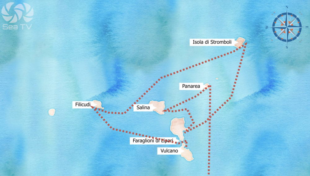
️ Suggested 7-Day Route — Portorosa Circuit
| Day | Route | Highlights |
| 1 | Portorosa → Vulcano (15 nm) | Mud baths (verify open), Gran Cratere hike, Porto di Levante. |
| 2 | Vulcano → Lipari (3 nm) | Museo Eoliano, provisioning, Spiaggia Bianca, granita. Marina Lunga / Pignataro. |
| 3 | Lipari → Salina (10 nm) | Pollara sunset, Malvasia tasting at Fenech. Santa Marina. |
| 4 | Salina → Stromboli (25 nm) | Crater hike (book guide on arrival). Night lava viewing from sea. |
| 5 | Stromboli → Panarea (14 nm) | Cala Junco, Bronze Age village, Raya terrace at sunset. |
| 6 | Panarea → Lipari (22 nm) | Reprovisioning, fuel. Canneto beach or Spiaggia Bianca. |
| 7 | Lipari → Vulcano → Portorosa (3+15 nm) | Final swim at Vulcano Ponente. Return passage to base. |
⚠️ Key Rules & Safety Notes
- Stromboli — no sheltered harbour: All anchorages open roadsteads. Be ready to leave quickly if conditions deteriorate.
- Stromboli — underwater cables marked on charts. Keep clear.
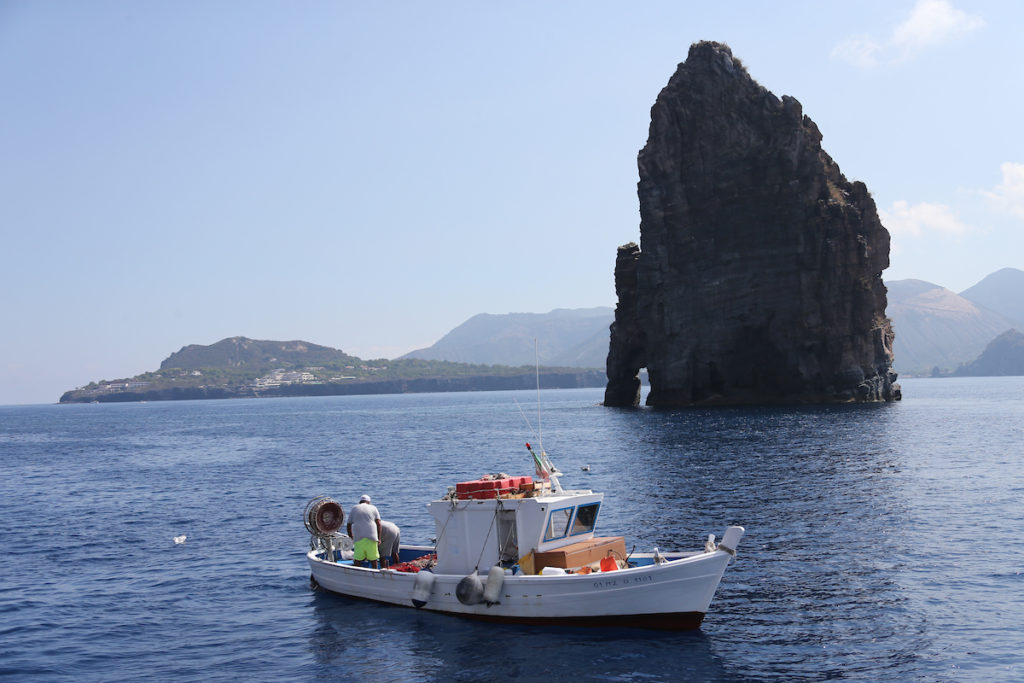
- Panarea — underwater platform: Shoals and rocks surround the entire island. Chartplotter at maximum zoom. Formiche Rocks (E approach) — multiple wrecks.
- Vulcano mud baths: Check open/closed status — temporary closures due to gas emissions occur.
- Stromboli crater hike: Guide mandatory above 400m. Can be closed when activity is high — verify on arrival.
- Ferry traffic: Milazzo–Aeolian hydrofoils move fast and have right of way in practice. Stay clear of ferry lanes.
- Provisioning: Only Lipari and Salina have reliable shops. Stock up thoroughly — Panarea, Stromboli, Filicudi have almost nothing.
- Buoy fields: Most island anchorages have seasonal buoy fields. Arrive before 10:00 in July–August to secure a buoy.
All SeaTV Guides — Aeolian Islands
Charter Base — Sicily
- Portorosa Marina — 700 berths, Blue Flag, charter hub. 15 nm from Vulcano.
- Which Marina is Closest to the Aeolian Islands? — Portorosa vs Milazzo vs Capo d’Orlando comparison.
The Islands
- Vulcano — Mud baths, Gran Cratere (391m), Porto di Levante & Ponente, Gelso.
- Lipari — Marina Lunga, Pignataro, Marina Corta. Museo Eoliano. Spiaggia Bianca.
- Porto Pignataro — Best-sheltered marina on Lipari. VHF Ch 09.
- Salina — Santa Marina, Pollara, Rinella, Malfa. Malvasia DOC. Capers.
- Panarea — Scalo Ditella, Cala Junco, Zimmari, Bottaro–Lisca Bianca. Raya.
- Stromboli — Scari buoy field, Ficogrande, Ginostra. Sciara del Fuoco night show.
- Filicudi — Pecorini a Mare, Grotta del Bue Marino, La Canna. Capo Graziano Bronze Age site.
Wind Guide
- Wind Directions & Recommended Docking — Aeolian Islands — Which anchorage for each wind direction.