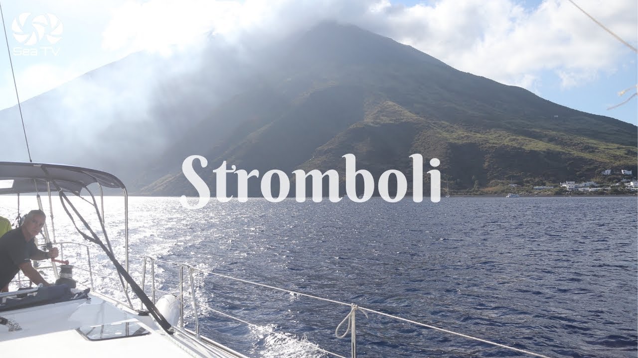
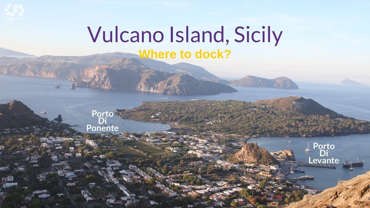
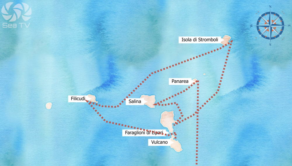
Vulcano is the southernmost of the Aeolian Islands and the first stop when sailing north from Sicily — 15 nm from Portorosa, 45 minutes by hydrofoil from Milazzo. The island gives its name to the geological phenomenon: the Romans named it after Vulcan, god of fire, and the word volcano entered every European language from here. Its last major eruption was in 1888–1890, but the island is emphatically not dormant — fumaroles hiss sulfurous steam from the Gran Cratere summit, the sea floor boils with geothermal vents at Porto di Levante, and the thermal mud baths on the beach have drawn visitors since antiquity. The smell of sulfur reaches you before the island does.
⚠ Mud baths — verify before visiting: The Laghetto di Fanghi mud baths near Porto di Levante have been subject to temporary closures due to elevated gas emissions from the underwater volcano. Always verify current status locally or online before planning activities ashore. Emissions are continuously monitored by Italian volcanological authorities (INGV).
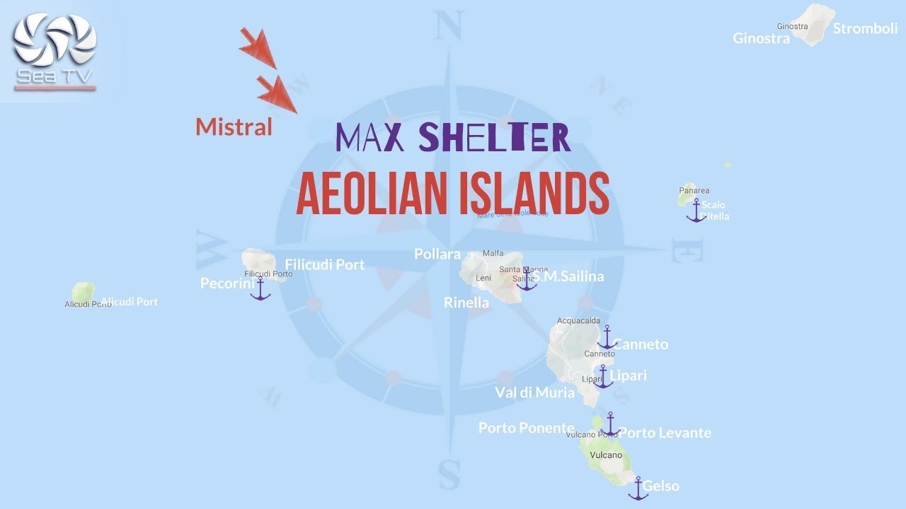
⚓ Anchorages — Quick Facts
| Anchorage | Coordinates | Depth | Best shelter |
| Porto di Levante | 38°24.928’N / 14°57.783’E | 3–10m, mud | W and NW winds. Main ferry port. Best for westerlies. |
| Porto di Ponente | 38°25.12’N / 14°57.14’E | 4–8m, sand and mud | NE and SE winds. West side of island. More secluded. |
| Gelso Bay | S coast | 3–10m, drop-off quickly | Calm weather only. Anchor NE of jetty. Very quiet. |
Porto di Levante — Main Anchorage
Porto di Levante is on the east side of the northern promontory and serves as the main ferry terminal. Anchor north of the ferry pier in 3–10m on mud — good holding once dug in. Alternatively, moor on the quay in 3–4m, clear of the hydrofoil and ferry berths. The quay is uncomfortable due to regular ferry wash; anchoring off is generally better. The bay is best sheltered in W and NW winds (the summer predominant), but open to NE through SE.
⚠ Ferry wash: Hydrofoils and ferries from Milazzo/Lipari use this bay constantly in season — arrivals and departures throughout the day. Rig extra fenders and springs if moored on the quay. At anchor, hold well clear of the ferry turning area and hydrofoil lanes. Night is significantly quieter.
Porto di Ponente — West Anchorage
Porto di Ponente lies on the west side of the promontory, with the entrance framed by two sets of rocky pinnacles. It gives good shelter from all winds except W through N — the complement of Porto di Levante. Anchor in 4–8m wherever there is space; sand and mud bottom with good holding. The village of Porto di Ponente straddles the isthmus between the two anchorages. Limited provisions shops and a few small restaurants ashore. The famous black sand beach (Spiaggia Sabbie Nere) is just minutes’ walk from here.
Gelso — South Coast
Gelso is a tiny hamlet on the south coast with a small jetty. Anchor off the beach northeast of the jetty in 3–10m — depths drop off quickly, so secure the anchor well. This is a calm weather anchorage only. Very quiet compared to the north; a good spot if arriving late from Portorosa and wanting to avoid the ferry traffic of Porto di Levante. The silence here, away from the tourist activity, is described by sailors as “almost sacred.”
What to Do Ashore
Gran Cratere della Fossa — Crater Hike
The defining Vulcano experience. The trail starts from Porto di Levante and climbs 391 metres to the crater rim of La Fossa — a 500-metre diameter caldera still active with fumaroles that emit sulfurous steam and colour the rocks yellow and red. From the top: a 360° view of all seven Aeolian Islands, the Sicilian coast, and on a clear day, Etna. The round trip is about 7 km and takes 2.5–3 hours at a comfortable pace. Suitable for most fitness levels.
Crater hike tips: Start early morning or late afternoon — the trail is fully exposed and the midday summer sun is brutal. Carry plenty of water. Wear a light mask for the fumarole zone (the sulfur smell is intense). Closed-toe shoes recommended — the surface is rough volcanic rock. The path is free and guide-optional, though a local guide adds significant historical and geological context.
Laghetto di Fanghi — Mud Baths
A short walk right from the Porto di Levante ferry dock, between the two yellow-stained rock mounds. The thermal mud pool sits at a constant 28°C year-round — smear the gray-green mud on your skin, bake in the sun for 10–15 minutes, then rinse in the sea. The mud is mildly radioactive and mildly sulfurous (your swimsuit will not survive intact). Effective against skin conditions and joint inflammation according to traditional use — first opened to the public in the 1960s. Do not stay longer than 15 minutes; avoid if pregnant or with heart conditions. Check current open/closed status before visiting — closures occur during high gas emission periods.
Spiaggia delle Acque Calde — Thermal Beach
Adjacent to the mud baths, in the Baia di Levante. Geothermal vents beneath the black sand release warm, mineral-rich water directly into the sea — you can feel the heat under your feet and watch bubbles rising from the seabed. Swimming here in naturally heated water, on black volcanic sand, with the crater looming above, is one of the more unusual beach experiences in the Mediterranean.
Spiaggia Sabbie Nere — Black Sand Beach
Vulcano’s most famous beach, a 10-minute walk from Porto di Levante past the mud baths. Fine black volcanic sand, clear water. Best for sunsets — the western exposure catches the light beautifully with Filicudi and the faraglioni (rock stacks) of Lipari in the silhouette.
Vulcanello — Valle dei Mostri
The small peninsula at the north tip of the island, formed by a separate eruption in antiquity (once a separate island connected later by lava flow). The “Valley of Monsters” — a landscape of lava formations shaped by erosion into surreal figures on black sand. Easily reached from Porto di Levante on foot or by scooter. The eerie shapes at golden hour are extraordinary for photography.
Grotta del Cavallo — Horse Cave
A scenic sea cave on the west coast, reachable by dinghy or tender in settled conditions. The rock formation resembles a Greek theatre. Named for its shape. Best visited early morning in flat calm.
Getting Around the Island
Vulcano has 40 km of paved roads. Scooter rental is available at Porto di Levante — the best way to reach Gelso on the south coast, the Piano inland village (where most residents live, surrounded by capers, mulberries and vines), and the observation points on the higher ground. From Capo Grillo on the east coast, you can see all seven islands without the full crater hike.
️ Where to Eat
Restaurants cluster around Porto di Levante and Porto di Ponente. Fresh seafood and Sicilian pasta dominate. Small bakeries sell Aeolian pastries, almond biscuits, and granita. The island has a local wine production — capers are a signature condiment throughout. Note: provisioning options are very limited; stock up at Portorosa or Lipari.
✅ Safety Checklist
- Choose anchorage based on wind: Levante = W/NW shelter; Ponente = NE/SE shelter
- Ferry wash in Porto di Levante — rig extra fenders, hold clear of ferry turning area
- Gelso Bay — depths drop quickly; anchor carefully and verify holding
- Crater hike — start early, carry 2L water per person, no midday hike in summer
- Mud baths — check current open/closed status; max 15 min; no old swimwear
- Underwater geothermal vents at Levante — warm patches are natural; avoid mooring directly over them
- Provisioning limited — stock up at Portorosa (15 nm S) or Lipari (3 nm N)
Nearby Destinations
| Destination | Distance | Notes |
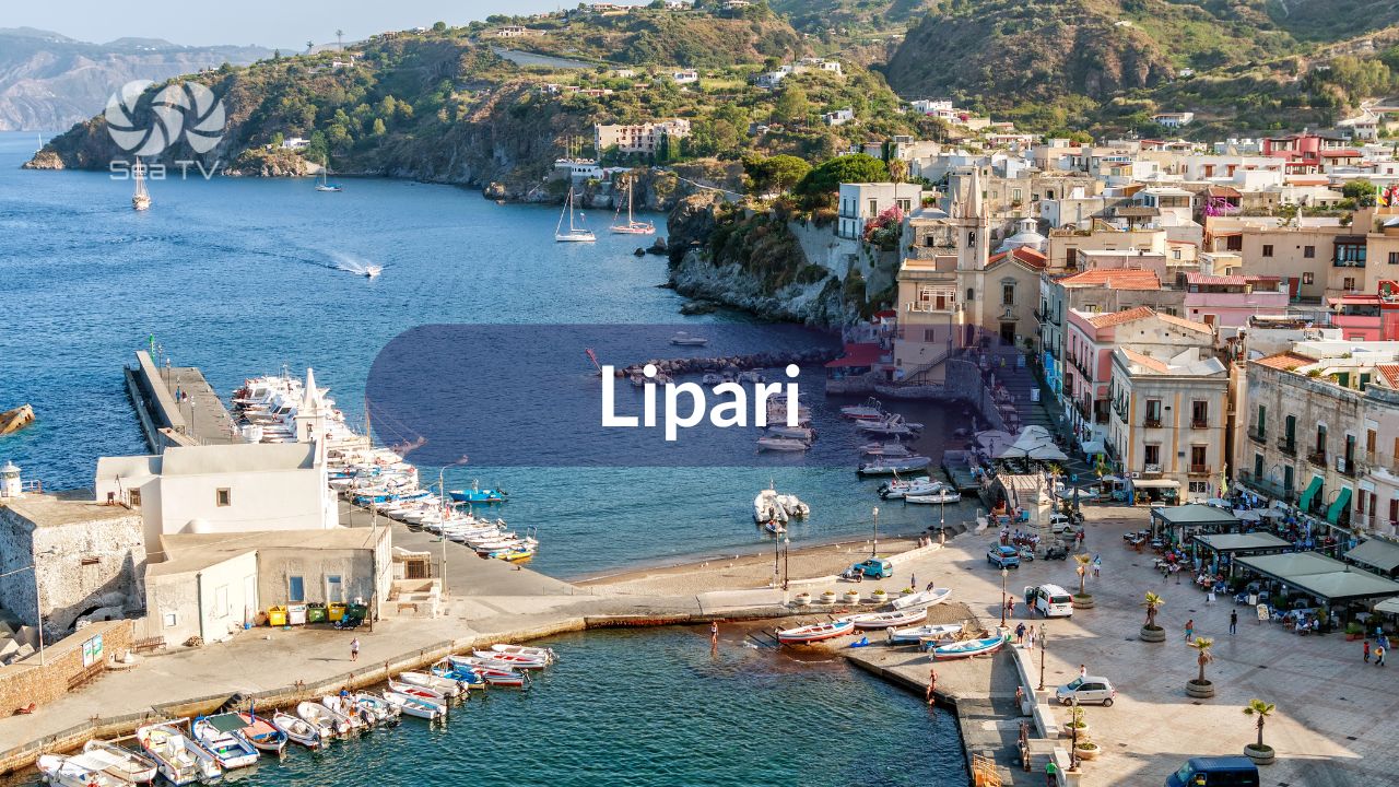
| Lipari | 3 nm N | Largest island. Best facilities and provisioning. Marina Lunga. |
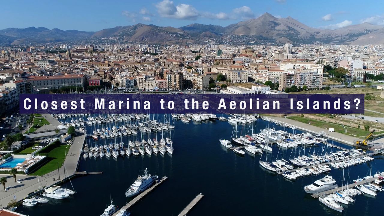
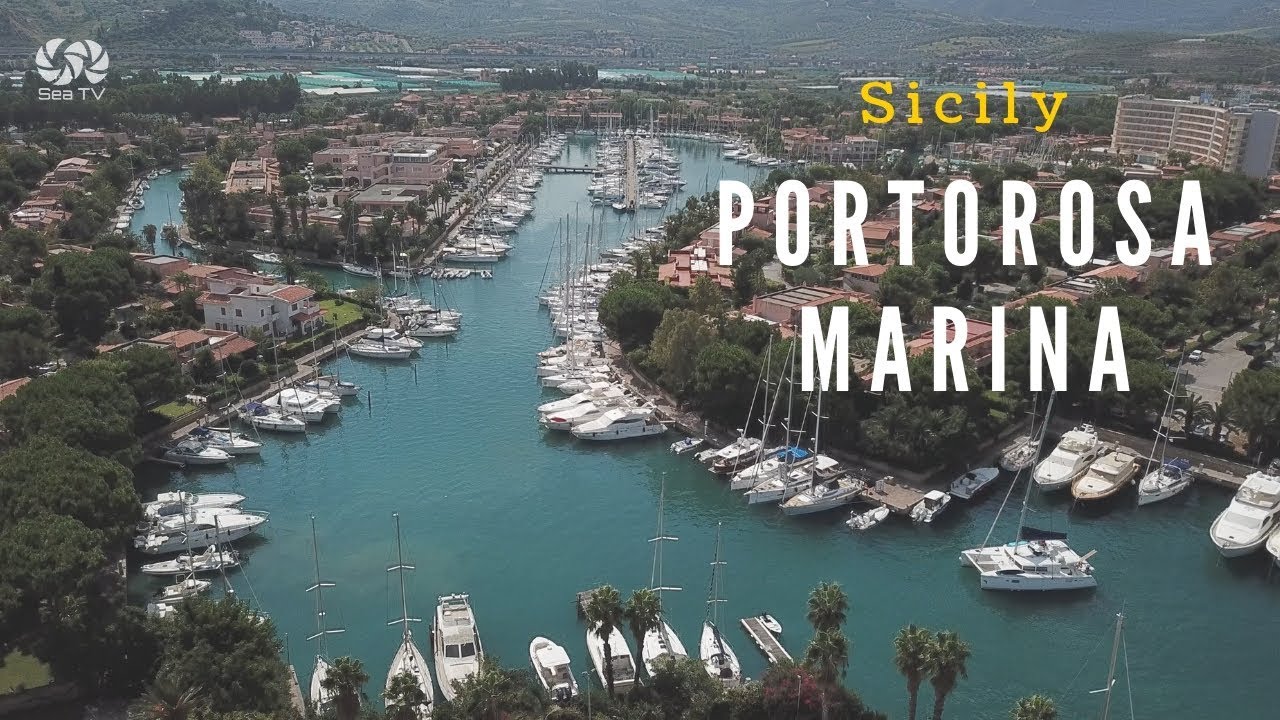
| Portorosa Marina (Sicily) | 15 nm S | Charter base. 700 berths. Full provisioning. Fuel. |
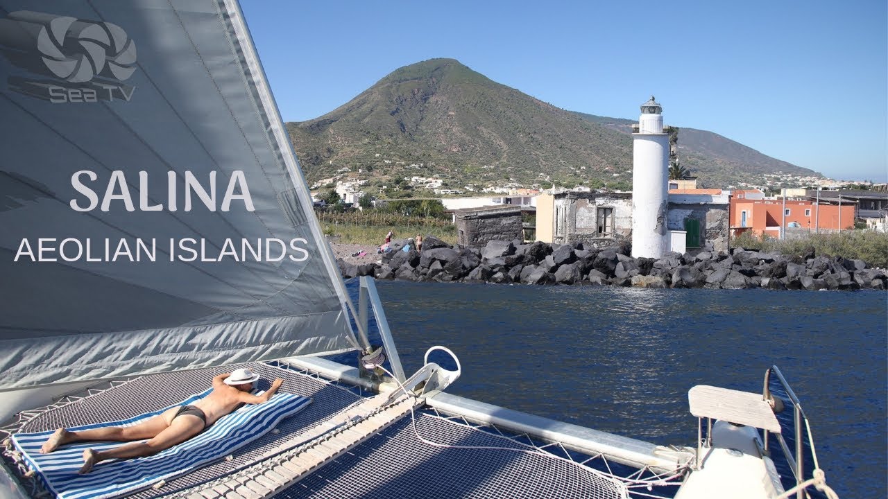
| Salina | 13 nm NW | Greenest island. Malvasia wine. Pollara bay. |
| Filicudi | 30 nm W | Wild and quiet. Grotta del Bue Marino. |