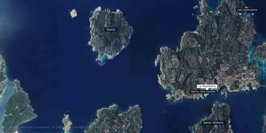
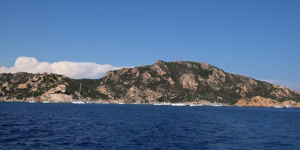
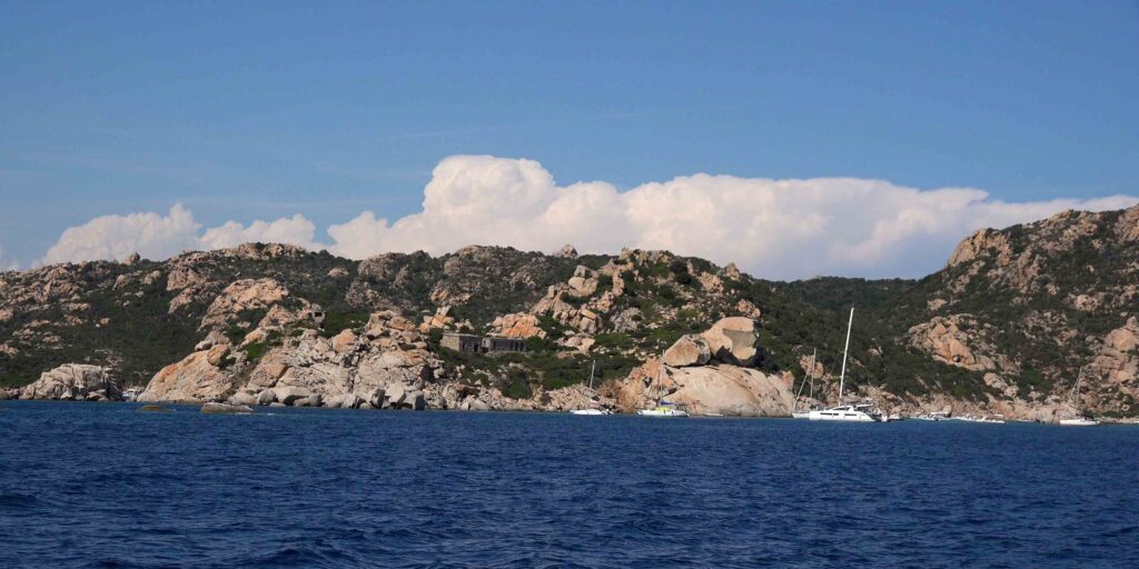
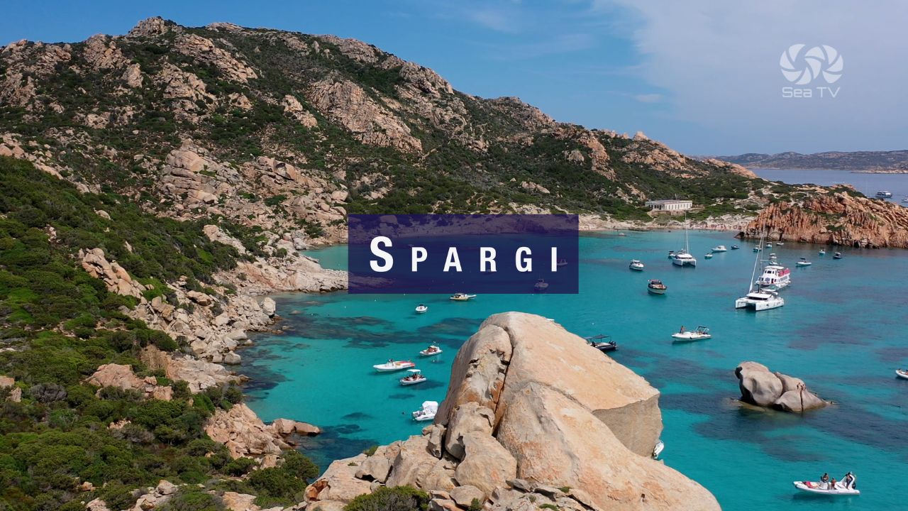
Spargi is a rocky, hilly island about 1 mile west of La Maddalena, rising to 155 metres. It is uninhabited (a building ban has been in effect for decades) and measures 4.2 km² with 11 km of coastline. The island is considered to have the most beautiful beaches in the entire La Maddalena Archipelago — a succession of fine white sand coves, pink granite headlands, and turquoise water in the 3–8 metre depth range. Obsidian arrowheads found at Cala Corsara confirm prehistoric use of this island as a stepping stone between Sardinia and Corsica. Today, Spargi also carries WWII military fortifications in its hills — camouflaged in the granite of Punta Zanotto and Petrajaccio, a 45-minute walk from Cala Ferrigno.
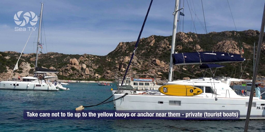
⚠ National Park Permit Required: Spargi is part of the La Maddalena Archipelago National Park. All vessels must obtain a permit before entering park waters. Apply online at autorizzazioni.lamaddalenapark.it. Night anchoring (21:00–08:00) permitted only on Park-authorised mooring buoys. No anchoring on Posidonia throughout the park.
Navigation Hazards — Read First
| Hazard | Location | Details |
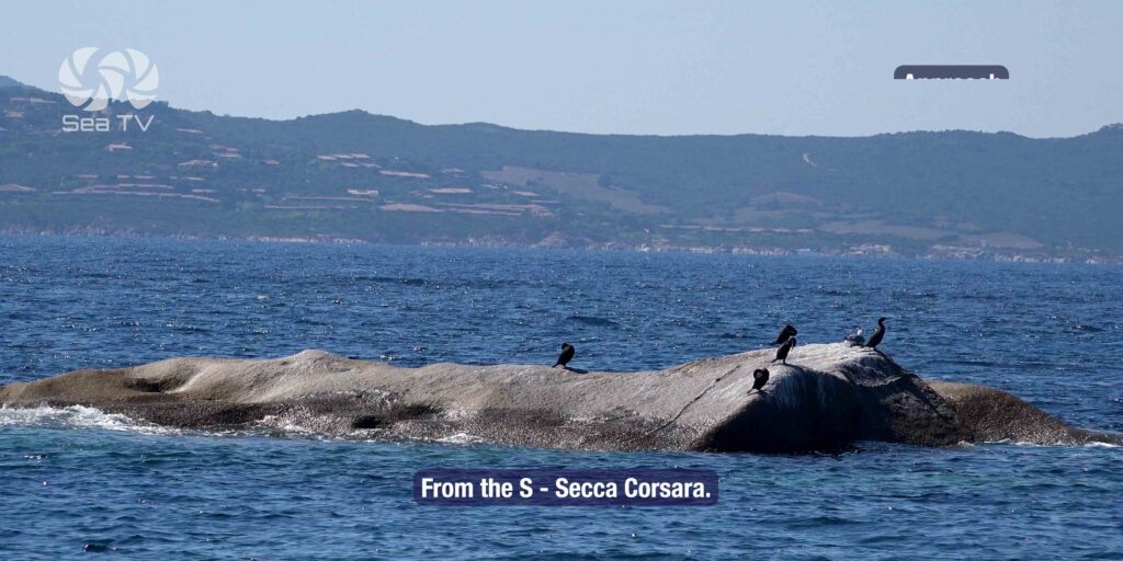
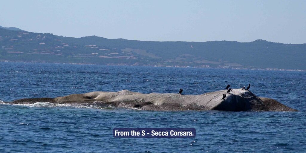
| Secca Corsara | SSW of island | Shoal with only 3m water, marked by a red light buoy. Critical hazard on southern approach. Give wide clearance. |
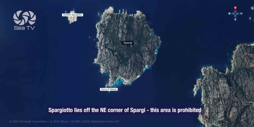
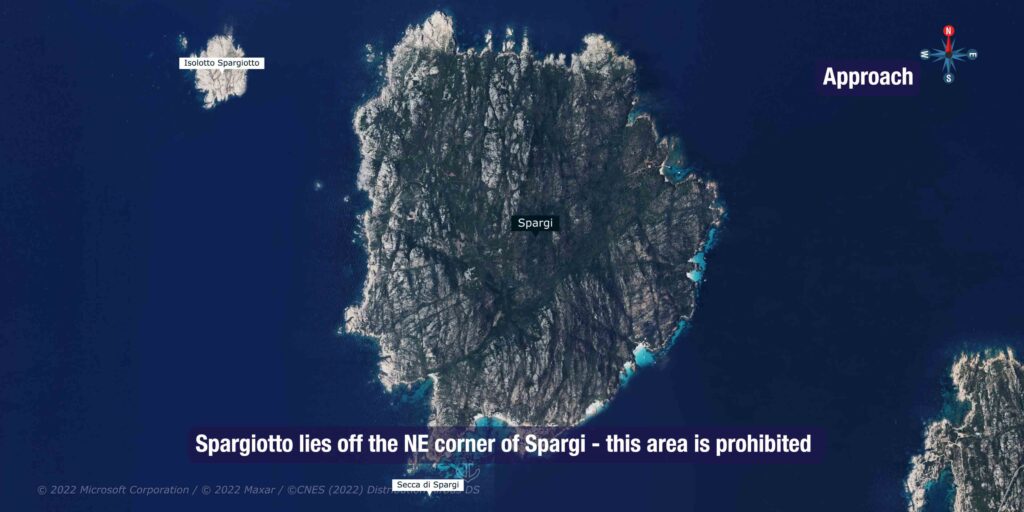
| Spargiotto | NE corner | Small island off NE corner — prohibited area. Do not approach. |
| Isolated shoals NNW & NE | NNW and NE | Extend up to 0.5 nm from shore. Keep chartplotter zoomed in when circling the island. |
| Rocks at Cala Ferrigno | NE coast | Seabed shallow and rocky with rocks extending well offshore. Approach slowly. |
⚓ Main Anchorages
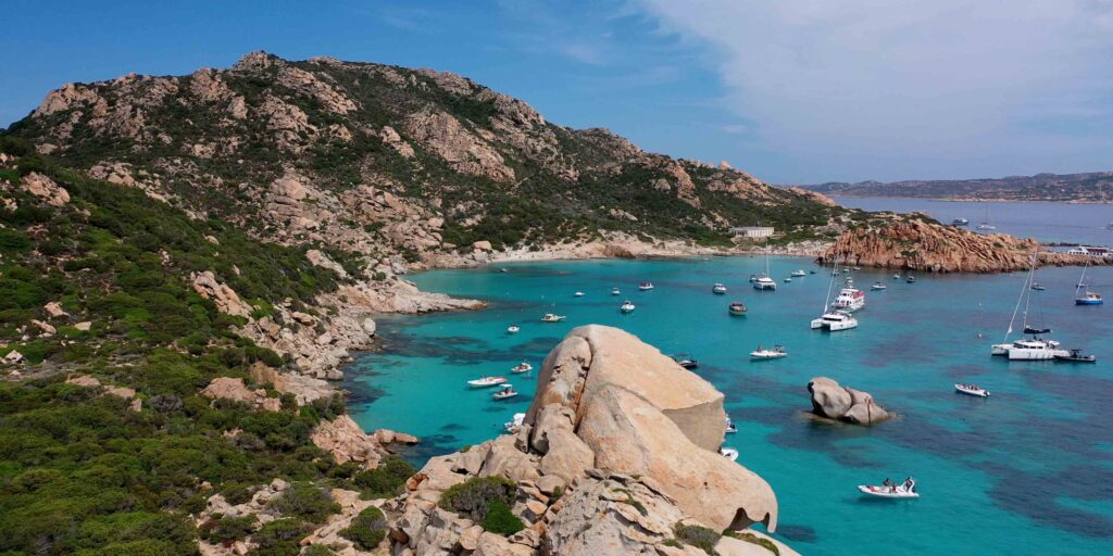
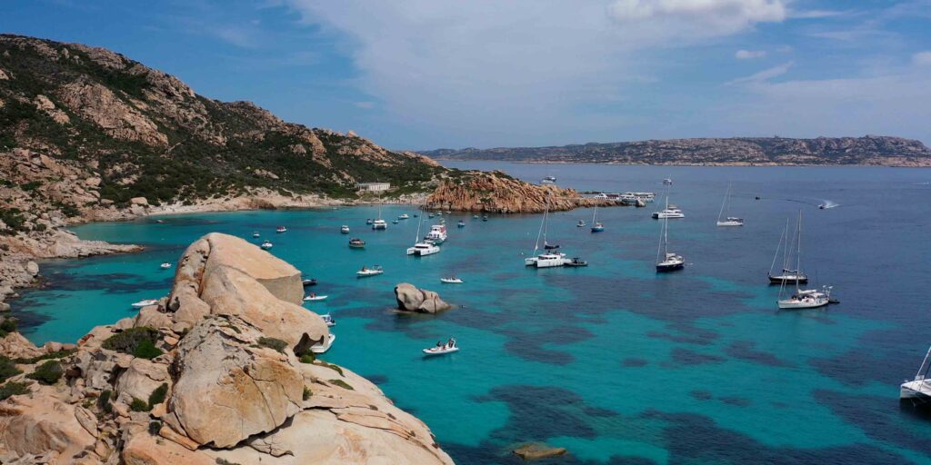
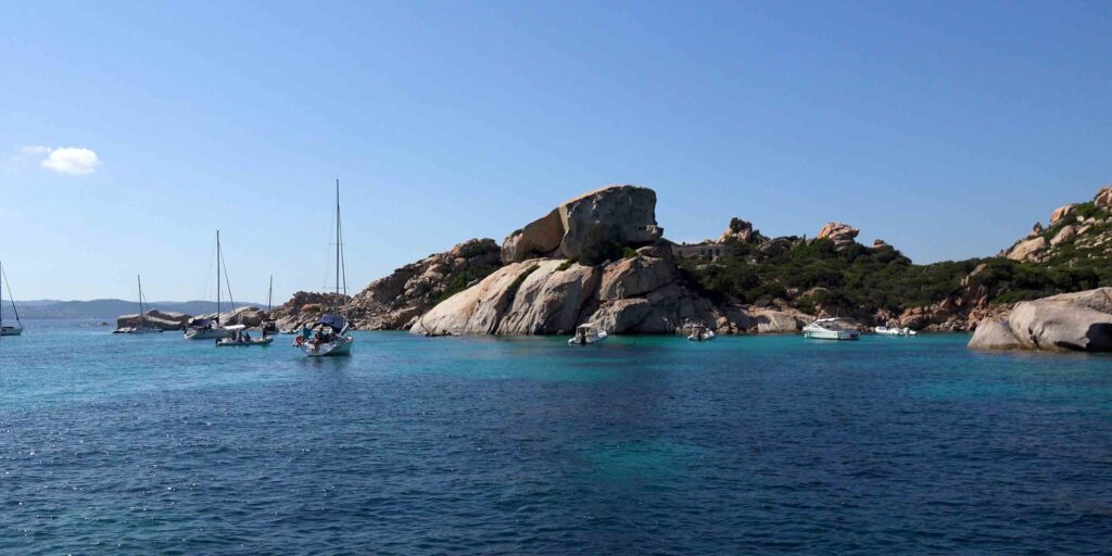
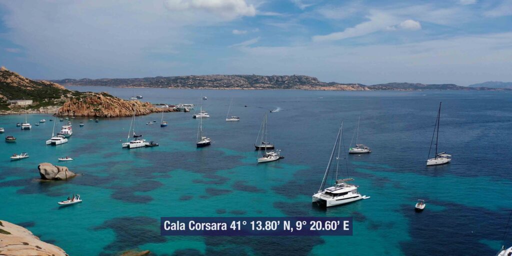
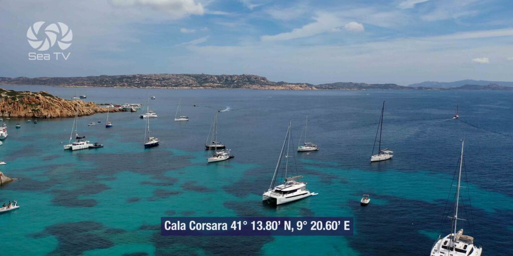
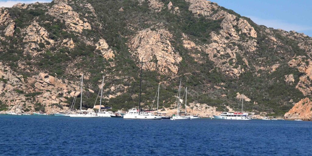
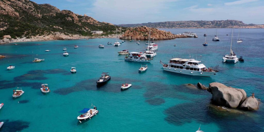
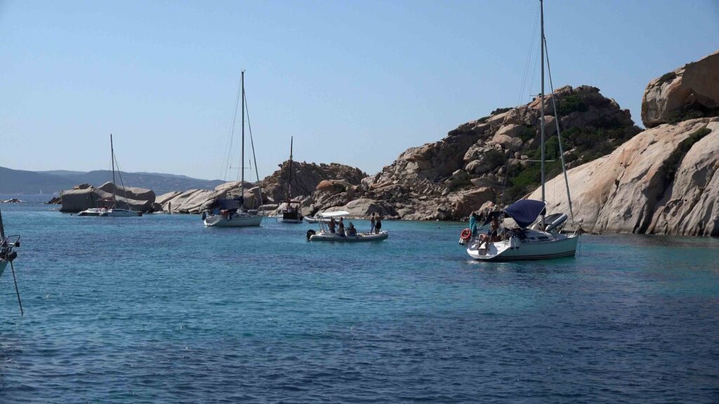
1 — Cala Corsara
| Coordinates | 41°13.753’N / 9°20.570’E |
| Location | South coast |
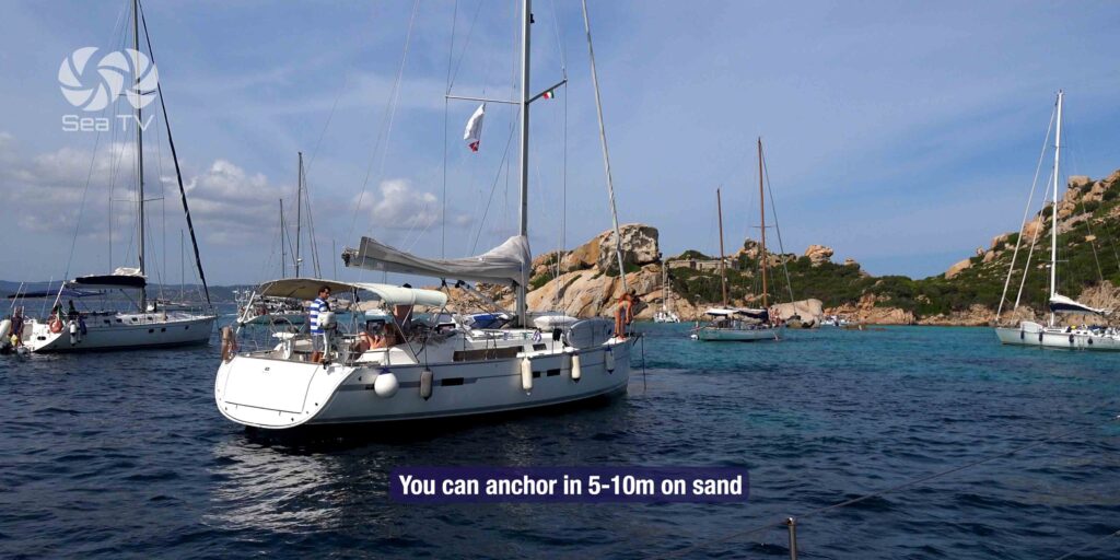
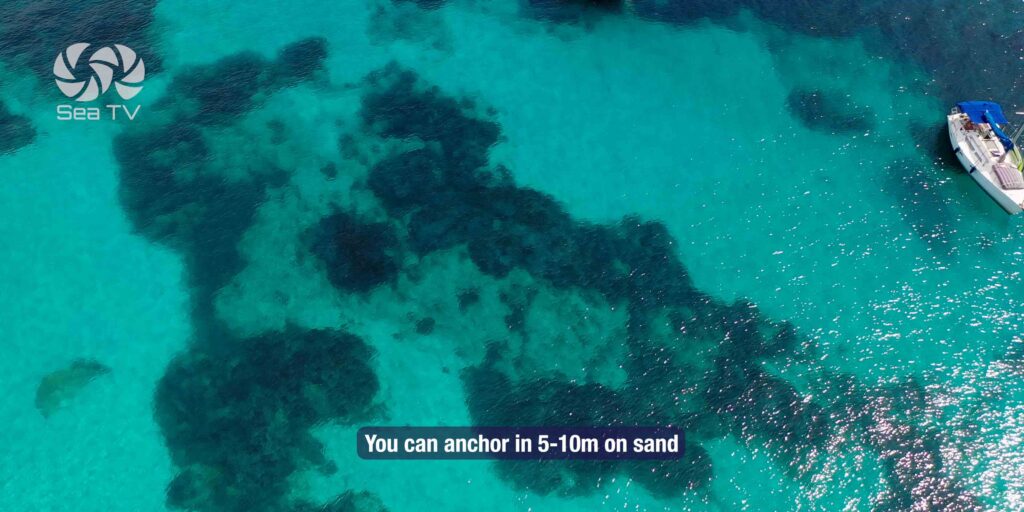
| Depth | 3–8m, sand |
| Shelter | Protected from Maestrale (NW). Best overnight option. |
| Mooring buoys | Park buoys available — use preferred over anchoring |
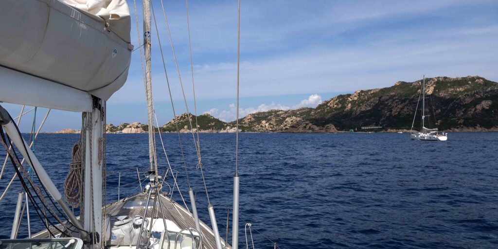
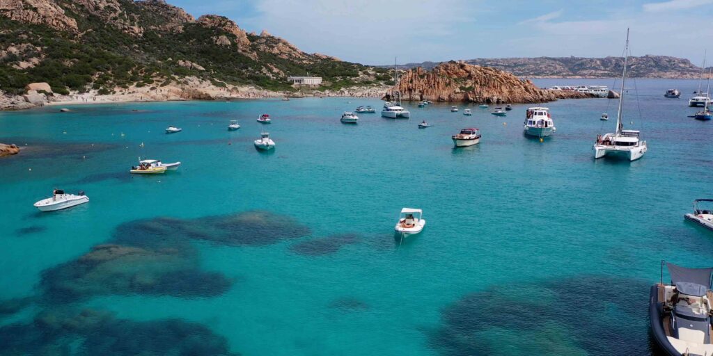
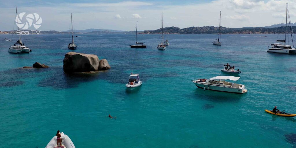
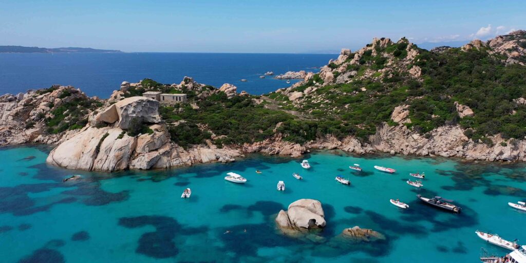
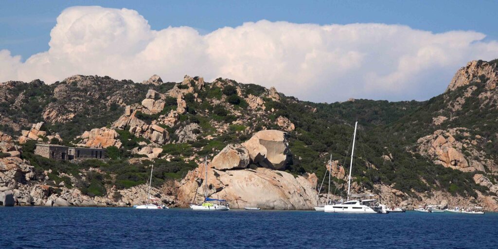
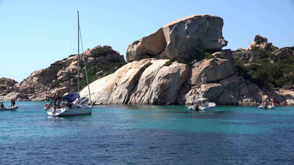
The largest and most famous bay on Spargi — a wide arc of four connected beaches backed by pink and white granite headlands. The central beach sits between two rocky promontories, and in the middle of the bay a granite boulder shaped like a Bulldog can be seen; next to it, a smaller formation known as the Testa della Strega (Witch’s Head) that takes on its distinctive profile at sunset. A third rock nearby has been nicknamed “Italy in Miniature” for its silhouette. Protected from the Maestrale by the island’s southern cliffs, Cala Corsara is the best overnight anchorage on Spargi — quiet after the day-trip boats leave. The central seabed is sandy and largely clear of hazards; stay away from the coast edges where rocks lurk.
⚠ Approach from south: Secca Corsara lies SSW of the bay entrance — only 3m of water over the shoal, marked by red light buoy. Approach from the east, giving the cardinal mark a wide berth to the east before turning north into the bay. Do not cut between the buoy and the island.
Obsidian arrowheads found here place human presence in this bay in prehistoric times — Spargi was part of the obsidian trade route connecting Sardinia to Corsica and the Italian mainland. A small cave (tafone) eroded into the granite at the centre of the beach is worth exploring.
2 — Cala Granara
| Coordinates | 41°14.038’N / 9°21.297’E |
| Location | NE coast |
| Depth | 4–7m, sand |
| Shelter | Good from W winds. Open to E. |
| Character | Small but spectacular beach. A small house stands on shore. Very crowded in season. |
Cala Granara takes its name from the grain (granaro) once loaded onto ships here when the island was inhabited. Recognisable by a small house on the beach — the only building on Spargi. The beach is small but the water clarity and sand quality make it one of the finest stops in the archipelago. Sandy bottom throughout gives good holding and clean anchor recovery. In westerly winds it offers excellent protection. Mooring buoys are usually available. Avoid in easterlies — the bay opens directly east and will be uncomfortable.
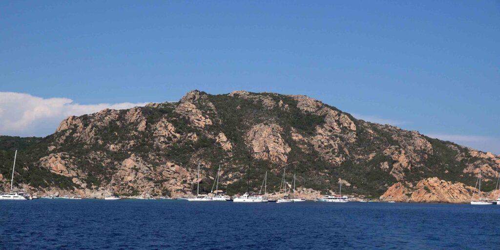
3 — Cala Ferrigno (Cala Canniccio)
| Coordinates | 41°14.677’N / 9°21.446’E |
| Location | NE coast, north of Cala Granara |
| Depth | 3–6m, shallow and rocky seabed |
| Shelter | Protected from Maestrale. Some swell in strong wind. Rocks throughout. |
| Pier | Small jetty ashore — dinghy/tender mooring possible |
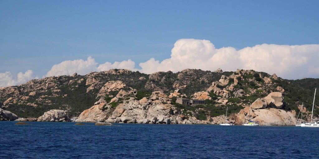
Cala Ferrigno (also called Cala Canniccio) is the most distinctive beach on Spargi — the sand here is amber-coloured, different from the white sand everywhere else in the archipelago, due to the reddish rock erosion in the surrounding cliffs. The seabed is shallow and rocky with rocks extending well offshore; approach slowly and keep crew on bow watch. The small jetty ashore allows dinghy mooring. Compared to Cala Corsara and Granara, Ferrigno is less crowded — a worthwhile trade-off for the trickier approach. From the beach, a 45-minute walk leads to the WWII military fortifications at Petrajaccio and Punta Zanotto — stone batteries camouflaged within the granite hillside with commanding views over the channel.
⚠ Rocks at Cala Ferrigno: The irregular rocky seabed extends well offshore. Shallow patches and surface rocks are scattered throughout the bay. Do not approach at speed — enter slowly with crew on bow, chartplotter zoomed to maximum scale. Anchor in the clearest sand patch you can find and check holding before leaving the boat.
4 — Cala Conneri (Cala d’Alga)
| Location | W coast (Cala Conneri) / W coast sheltered from E (Cala d’Alga) |
| Shelter | Cala Conneri: protected from westerlies. Cala d’Alga: protected from easterlies. |
| Character | Smaller, less famous than S and NE coves. Less crowded in season. |
The western bays offer useful alternatives depending on wind direction. Cala Conneri is sheltered from westerly winds and has a small sandy beach among rocks and scrub. Cala d’Alga (sometimes marked separately) is less celebrated than the main bays but equally beautiful — quieter in high season precisely because it is less well-known. The local guide Paolo Traverso advises seeing all the bays in sequence if possible — each has its own light and character.
️ Anchorage Summary
| Anchorage | Coords | Best wind | Best for |
| Cala Corsara | 41°13.753’N / 9°20.570’E | NW/W (Maestrale) | Overnight, swimming, snorkelling. Witch’s Head rock. |
| Cala Granara | 41°14.038’N / 9°21.297’E | W | Swimming, day stop. Small beach, very clean sand. |
| Cala Ferrigno | 41°14.677’N / 9°21.446’E | NW | Diving, snorkelling, fort walk. Amber sand. Quieter. |
| Cala Conneri / Cala d’Alga | W coast | W (Conneri) / E (d’Alga) | Quieter alternative. Less crowded in peak season. |
Snorkelling & Diving
The rocky NE coast of Spargi and the cliffs around all the main bays offer outstanding snorkelling — the irregular granite seabed creates dense habitat for sea bream, grouper, octopus, moray eels, and sea bass. Posidonia meadows in the deeper areas of Cala Corsara shelter juvenile fish. The water clarity throughout Spargi is exceptional. The rocky sections between bays are best explored from the dinghy with mask and fins.
Hiking — WWII Fortifications
From Cala Ferrigno: a 45-minute walk (mostly flat, some rocky paths — bring water and sun protection) leads to the battery emplacements at Petrajaccio and Punta Zanotto. Built during WWII and camouflaged to blend with the granite, the fortifications are remarkably well-preserved and give a panoramic view over the channel between Spargi and La Maddalena. No formal path — follow the tracks inland from the beach.
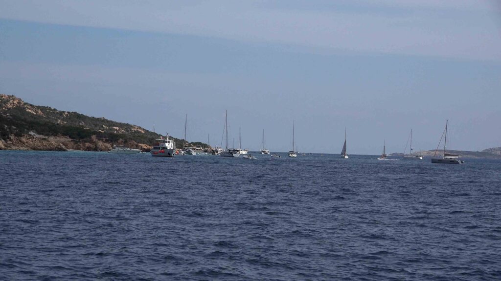
Sailor’s tip: Spargi is at its best in June and September. In July–August, day-trip boats from Palau and La Maddalena arrive at Cala Corsara and Cala Granara from around 10:00 and the beaches become very crowded. Arrive the evening before, anchor overnight at Cala Corsara (the best overnight anchorage — protected from Maestrale, buoys available), and enjoy the morning light and empty beaches before the fleet arrives. Leave by midday for Budelli or Razzoli if the afternoon wind allows.
✅ Safety Checklist
- Park permit obtained before entering — lamaddalenapark.it
- Secca Corsara (SSW): 3m shoal, red buoy — approach Cala Corsara from the east only
- Spargiotto (NE): prohibited area — do not approach
- Isolated shoals NNW and NE — stay within 0.5 nm of shore only on chart-verified safe track
- Cala Ferrigno: slow approach, crew on bow, rocks throughout seabed
- Night anchoring on park buoys only (21:00–08:00)
- No Posidonia anchoring — fines enforced
- Strong Maestrale from W/Budelli direction can generate significant swell at Cala Corsara — set adequate scope
Nearby Destinations
| Destination | Distance | Notes |
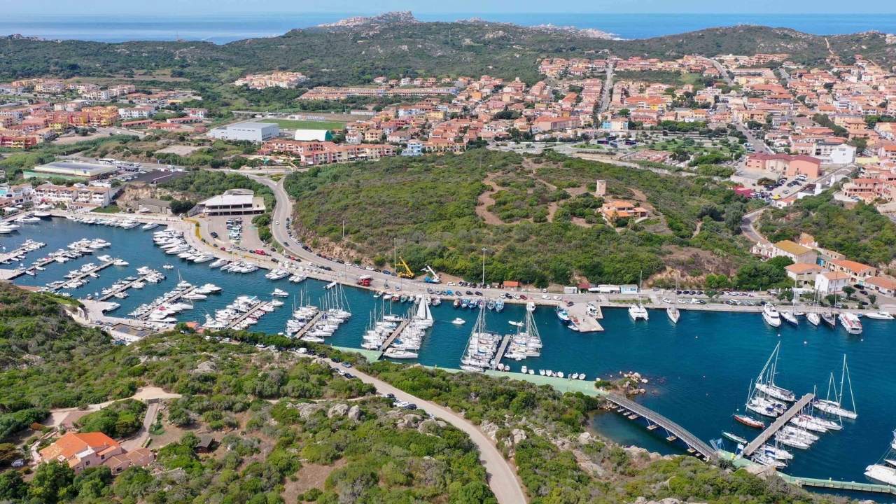
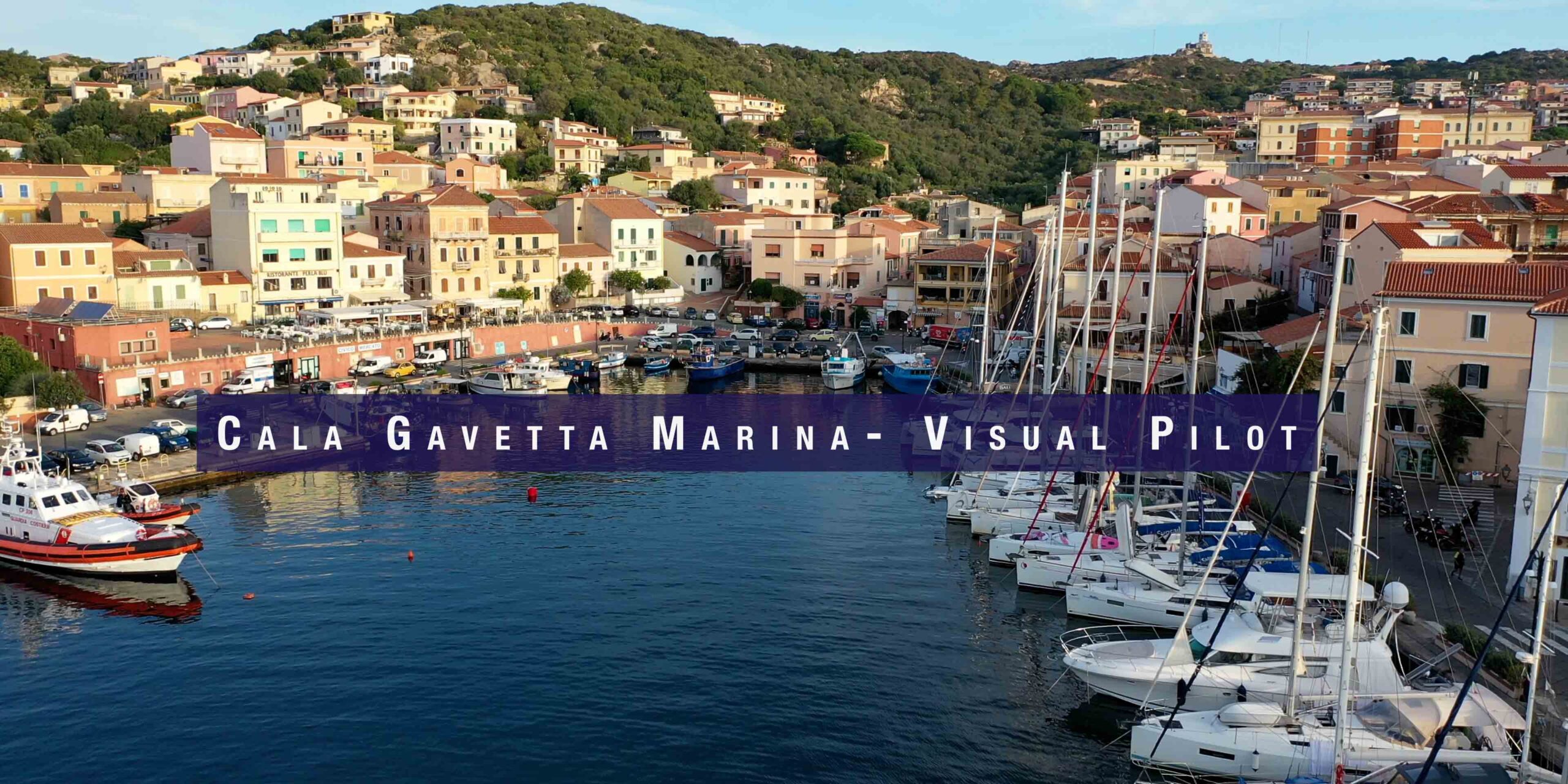
| Cala Gavetta, La Maddalena | 2 nm E | Full marina. Fuel, provisioning, chandlery. Ferry to Palau. |
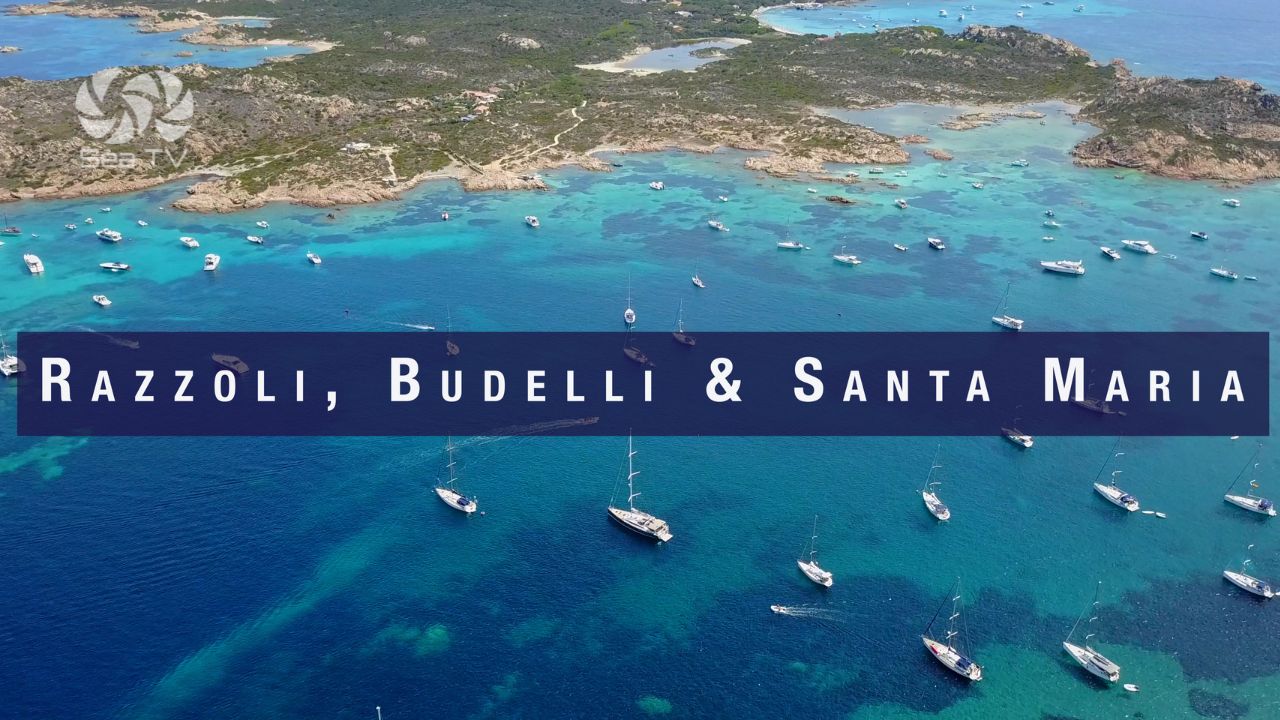
| Budelli, Razzoli & Santa Maria | 5 nm N | Spiaggia del Cavaliere, Pink Beach. Short but exposed passage in W wind. |
| Cala Lunga, Razzoli | 6 nm N | Remote, sheltered, quiet overnight. Rocks at entrance. |
| All La Maddalena Marinas | 2–4 nm E | Full guide to all berthing options in the archipelago. |