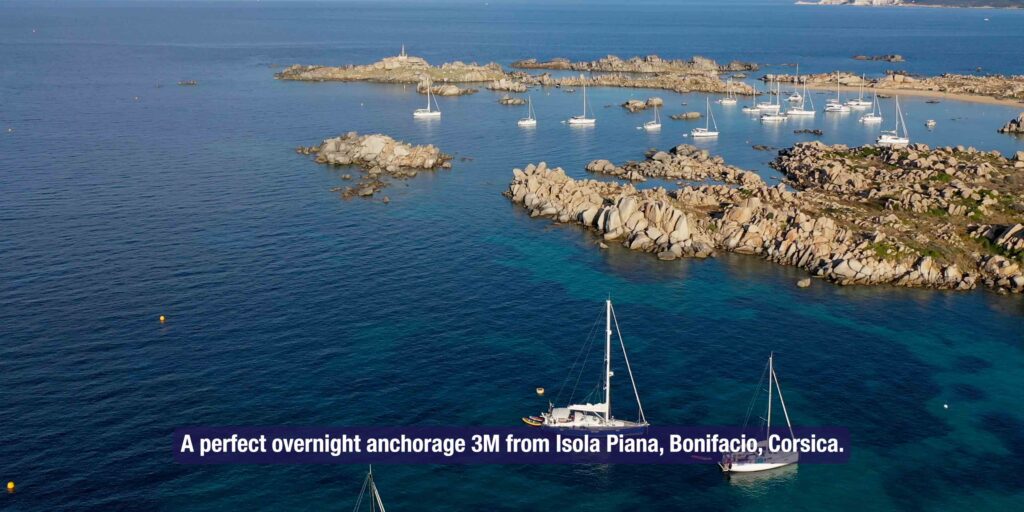
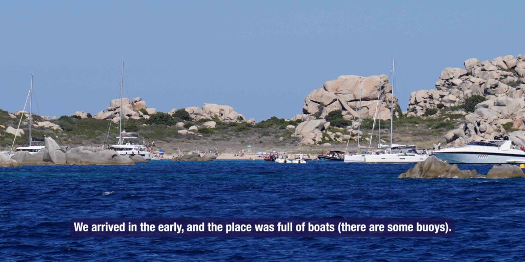
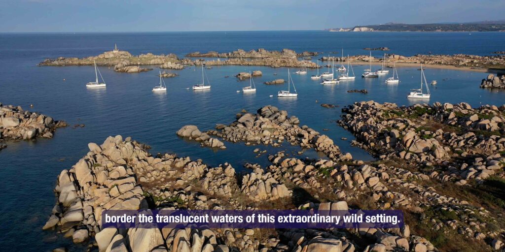
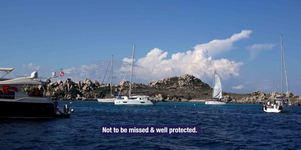
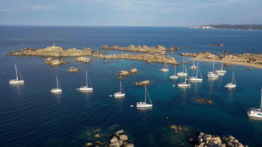
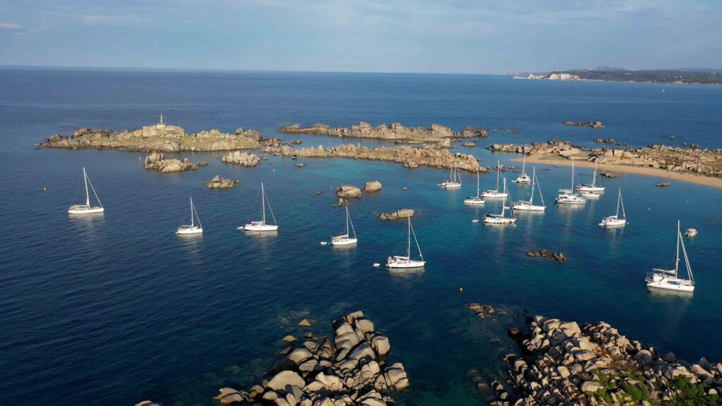
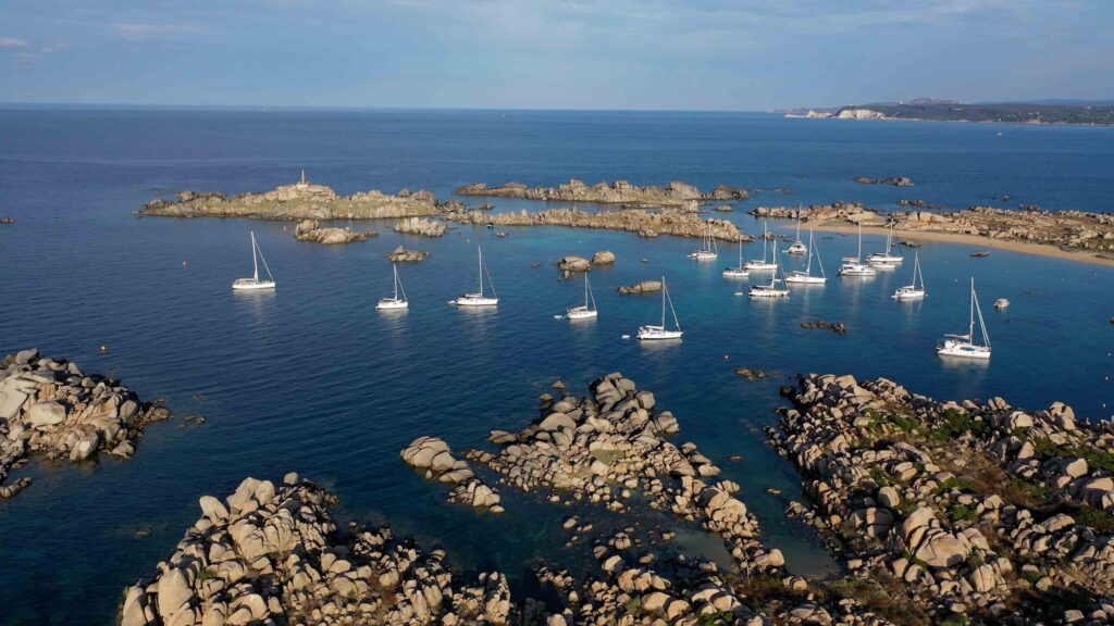
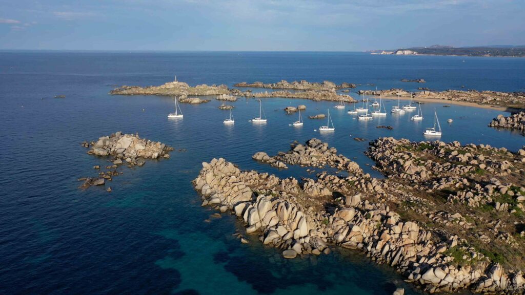
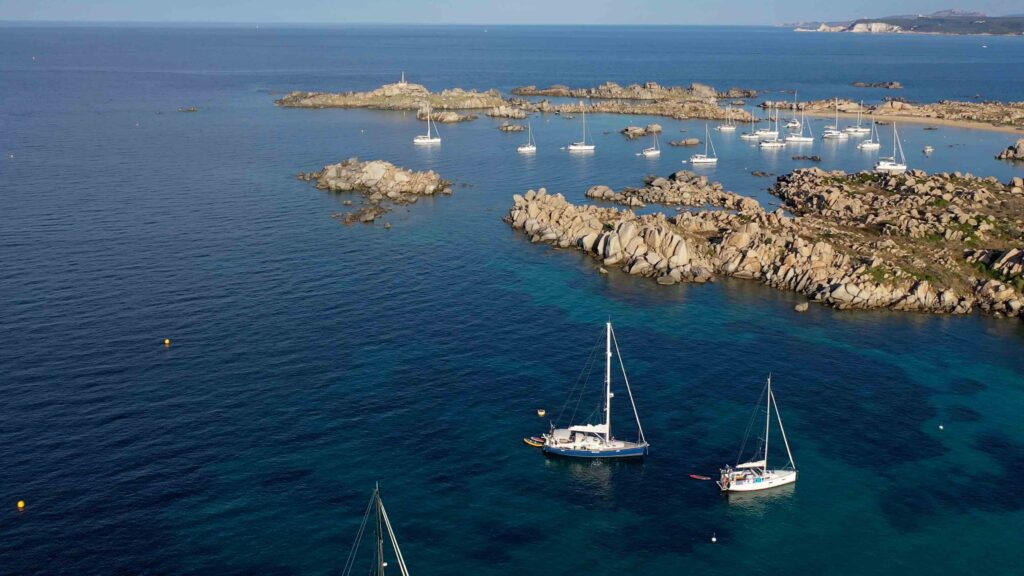
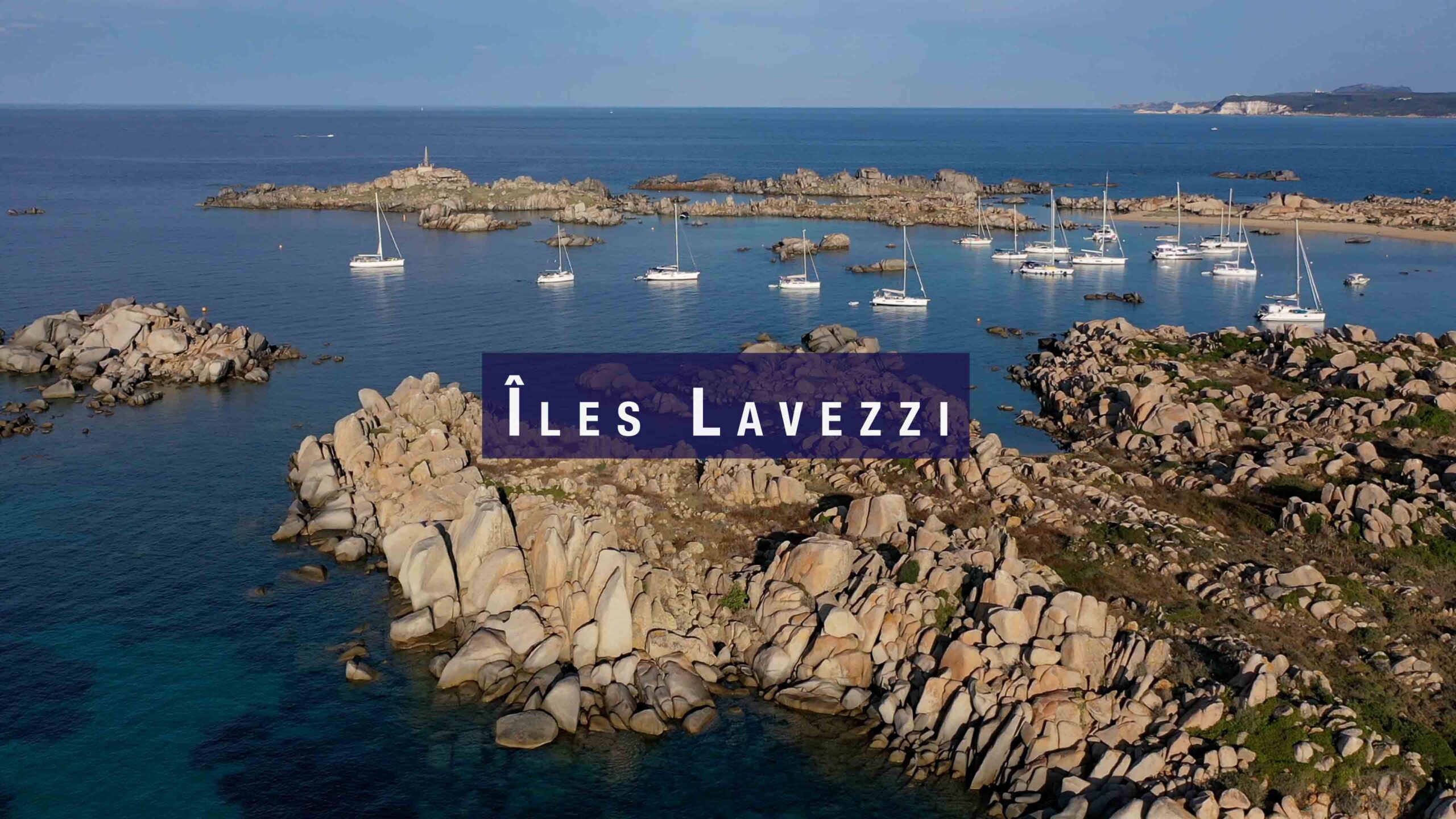
The Lavezzi Archipelago is a collection of 23 granite islands and islets scattered in the Bocche di Bonifacio — 5 nautical miles southeast of Bonifacio and 10 miles north of Sardinia. Part of the Réserve Naturelle des Bouches de Bonifacio since the 1990s, these islands are the southernmost point of France in Europe. Pink granite sculpted by wind and sea, turquoise water, and an extraordinary density of marine life make this one of the finest anchorages in the western Mediterranean. We anchored here in calm weather off Isola Piana, 3 miles from Bonifacio — the place was full of boats but the anchorage in 5 metres of sand was perfect.
⚠ Nature Reserve — Access regulated: The Lavezzi Archipelago is a protected nature reserve. Anchoring is organised and patrolled by territorial guards on zodiac. No bivouac, no campfire, no collecting of plants or animals. No anchoring on Posidonia seagrass — heavy fines. Access quotas may apply in high season. Always check current regulations before arriving — rules are updated annually.
⚓ Quick Facts for Sailors
| Distance from Bonifacio | 5 nm SE |
| Distance from Santa Teresa | ~14 nm NW |
| Main anchorage | Cala di U Grecu — 41°20.528’N / 9°15.607’E |
| Anchorage depth | ~3m (Cala di U Grecu); 5m (Isola Piana area) |
| Bottom | Sand and rock — NO anchoring on Posidonia |
| Mooring buoys | Available at Cala di U Grecu and other locations |
| Night anchorage | Possible in calm weather — check reserve rules |
| Approach | Daylight only — rocks, boulders, shallow shoals everywhere |
| Reserve authority | Office de l’Environnement de la Corse (OEC) |
Approach & Navigation
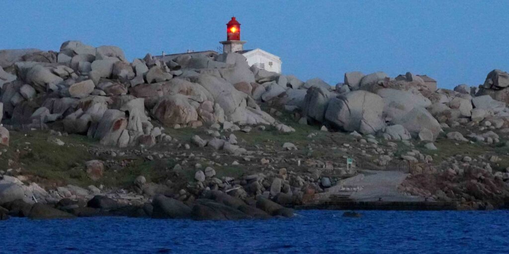
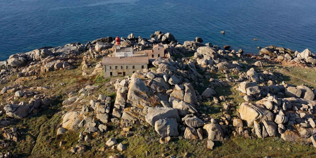
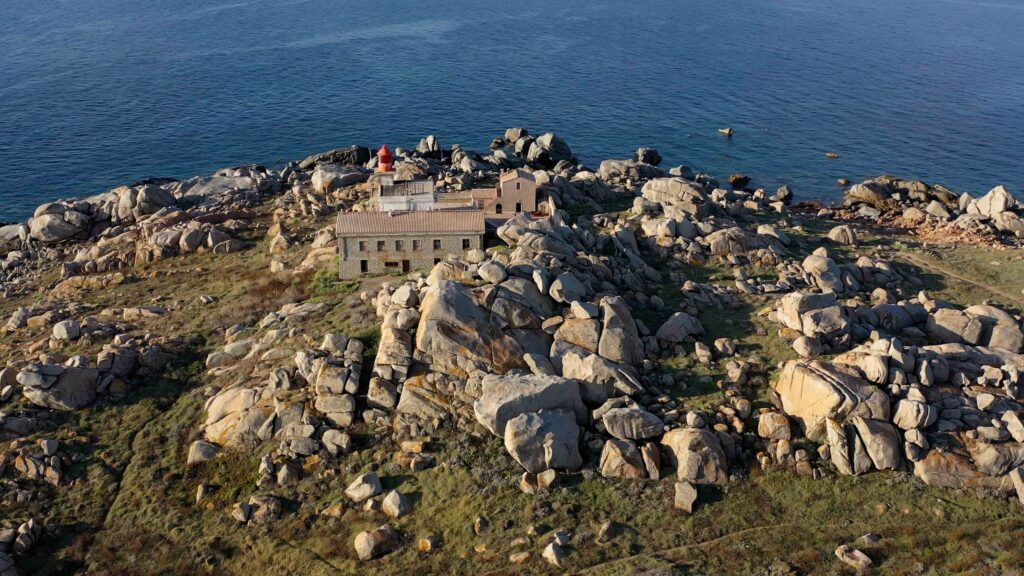
⚠ Rocks everywhere — daylight only: The entire Lavezzi archipelago is fringed with rocks, submerged boulders and shallow shoals. The granite seabed is unpredictable. Do not enter in reduced visibility or at night — even with chart plotter. The lighthouse on Lavezzu (built 1874) guides approach but does not make night entry safe. Enter only in daylight with clear visibility, slow speed, and a crew member on the bow watching the water.
In sustained westerly winds, anchoring anywhere in Lavezzi becomes risky — the presence of rocks and outcropping boulders makes maintaining a safe swinging circle very difficult. In strong west or NW winds, return to Bonifacio or anchor in the more protected bays east of Bonifacio.
⚓ Main Anchorages
| Anchorage | Coordinates | Depth | Notes |
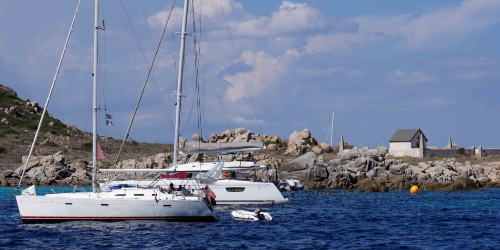
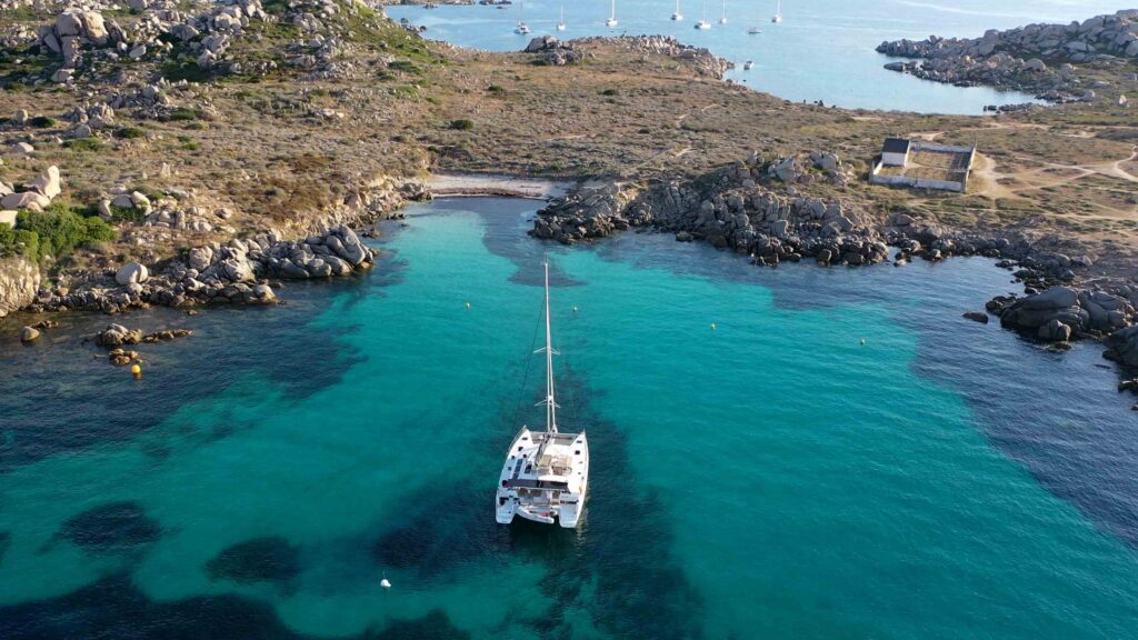
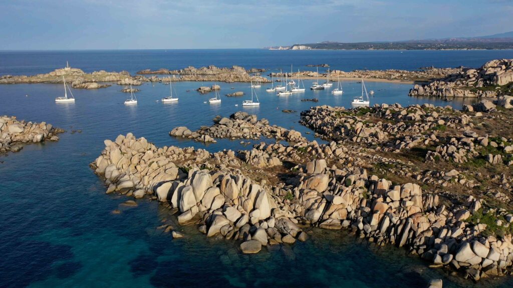
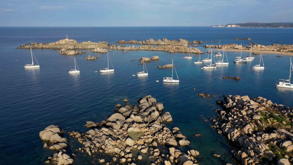
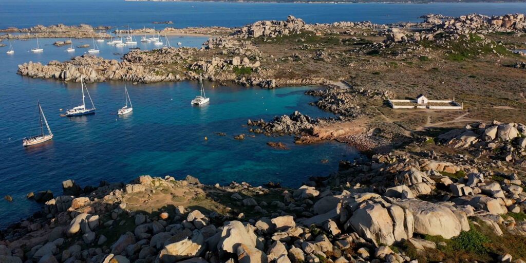
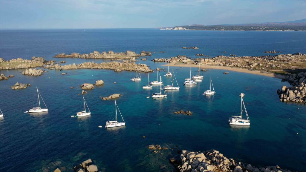
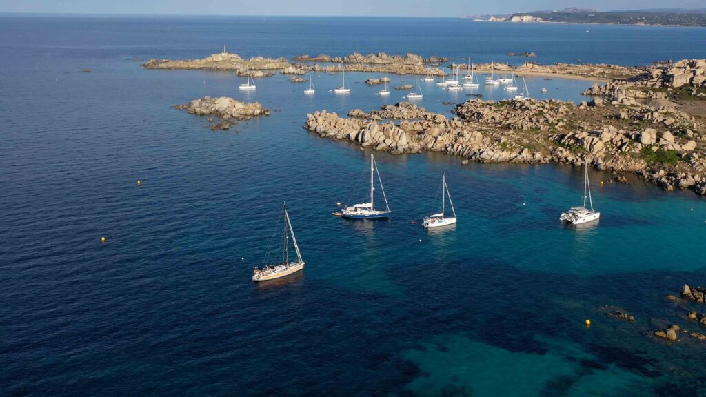
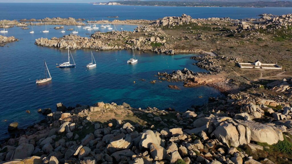
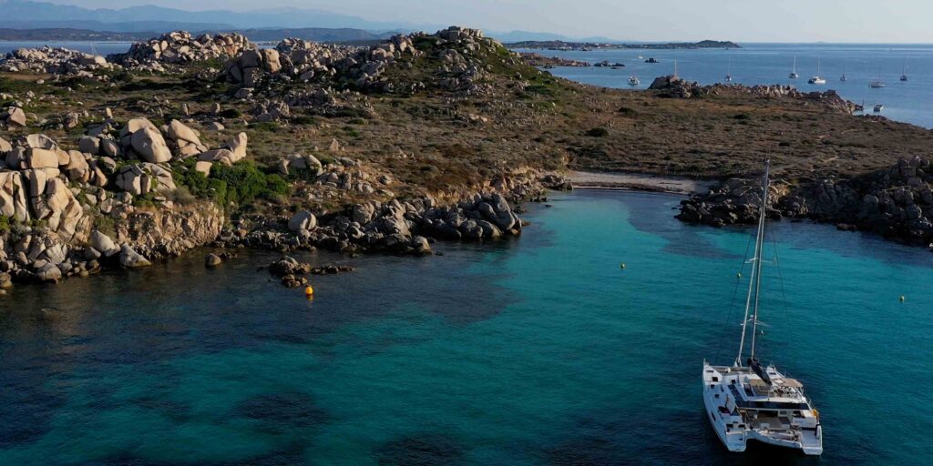
| Cala di U Grecu | 41°20.528’N / 9°15.607’E | ~3m | Main anchorage. Yellow buoys mark the channel — follow them. Rocks on both sides. Very small space, very busy in season. Mooring buoys available. Not protected from SW. |
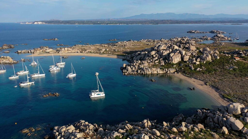
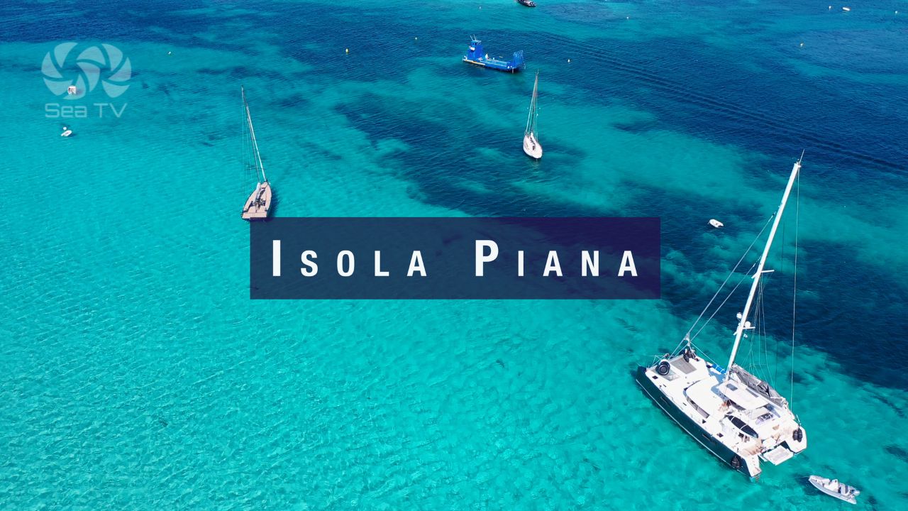
| Cala di Lioni / Cala Giunco (Isola Piana area) | ~41°22’N / 9°13’E | 5m | Two fine sandy beaches. Excellent in calm conditions. 3 nm from Bonifacio. Open to NW — move in if wind builds. Buoys and anchorage on sand. |
| Piantarella (N of Piana) | 41°22.514’N / 9°13.530’E | 3–5m | Between N tip of Piana island and Corsica. Warning: shoal to the S. Anchoring further N prohibited — submarine pipeline. |
| Plage Petit Sperone | 41°22.205’N / 9°13.424’E | 3–5m | Between S tip of Piana and Petit Sperone beach (Corsica). Warning: shoal to the N. Anchoring further E/SE prohibited. |
| Porto di Cavallo | 41°21.715’N / 9°15.857’E | — | Only marina in the archipelago. Cavallo is the only inhabited island. Very expensive in high season. VHF 9. Tel: +33 (0)495 258011. Contact before approaching. |
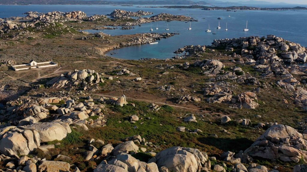
️ Going Ashore — Île Lavezzu
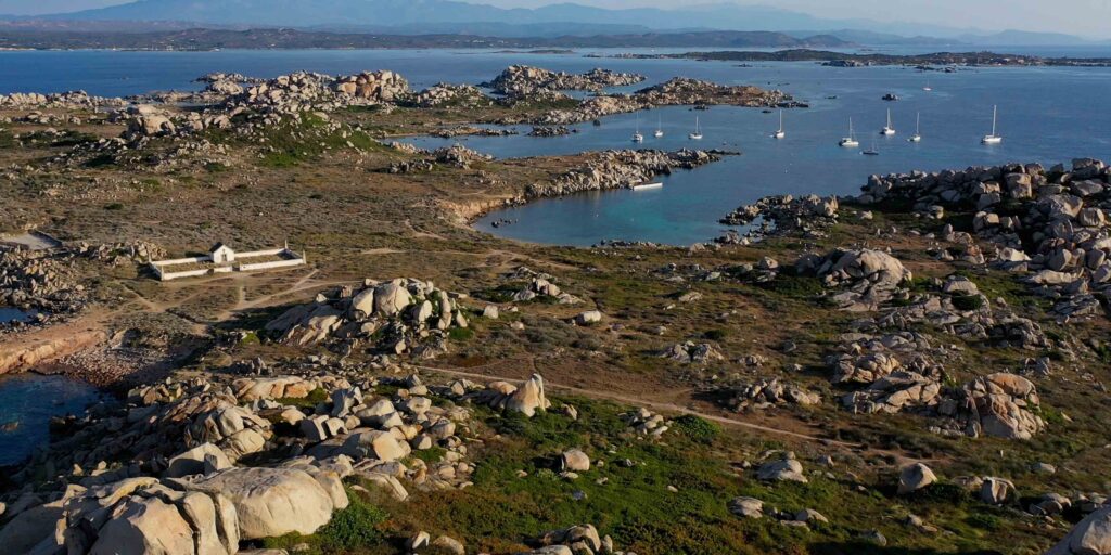
The main island (Île Lavezzu / Isola Lavezzo) is accessible on foot from Cala di U Grecu. Despite being small (65 hectares) and uninhabited, it packs in a remarkable amount:
La Sémillante — 1855 Shipwreck
On 15 February 1855 the French frigate La Sémillante wrecked on the rocks of Lavezzi during a storm while carrying 700 soldiers and sailors to the Crimea. There were no survivors. Two cemeteries on the island contain the remains of those recovered. The commemorative plaques inside the cemeteries are the most sobering thing you can read in the Bocche di Bonifacio. Worth visiting — a short walk from Cala di U Grecu.
Granite Formations
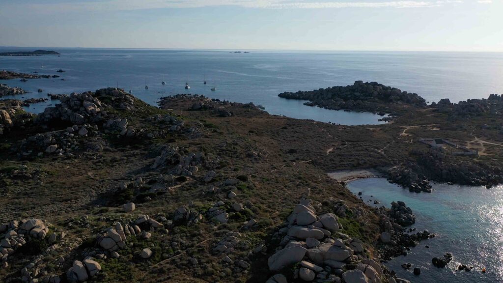
Unlike the white limestone cliffs of Bonifacio, Lavezzi is pink and grey granite, formed 300 million years ago. Wind and sea have sculpted the rocks into extraordinary shapes. Marked paths cross the island — stay on them to protect the vegetation. The lighthouse (1874) is at the south end.
Diving & Snorkelling
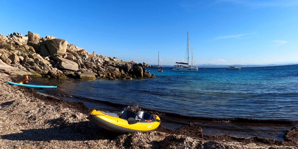
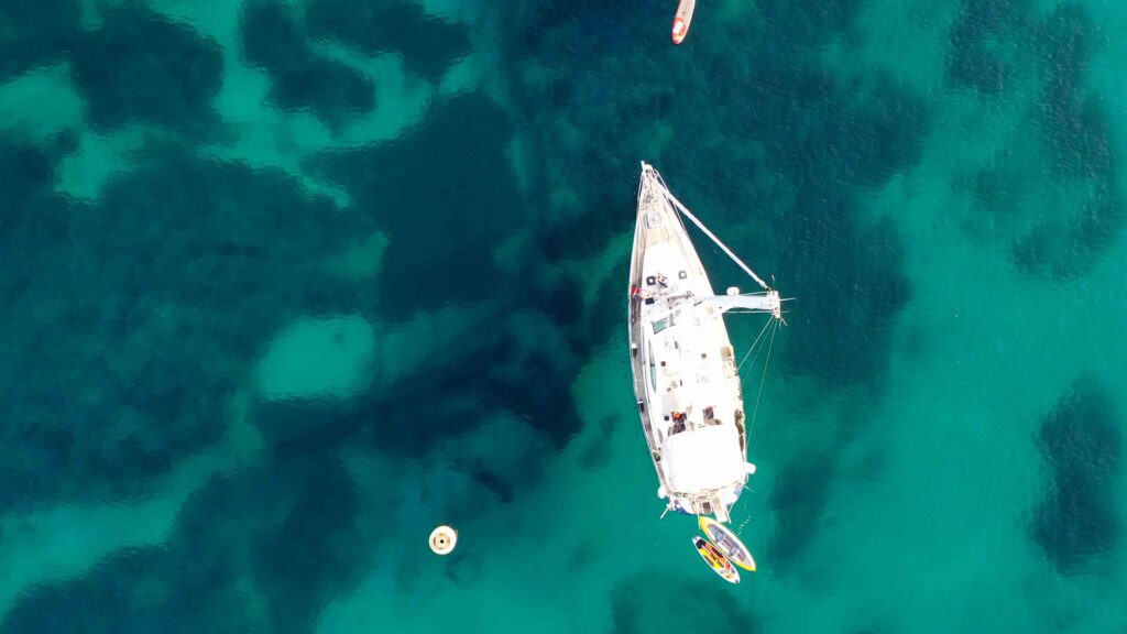
The reserve has produced exceptional marine recovery: huge sea bream, grouper (some over 30 kg at the Secca di Lavezzi dive site 1 nm E of Cala di U Grecu), sea bass, red gorgonians, and Posidonia meadows. Snorkelling from the boat at Cala di U Grecu and Cala di Lioni is excellent. Visibility often exceeds 15m.
Reserve Rules
- No bivouac, no campfire, no tent
- No collecting plants, shells, or marine organisms
- No anchoring on Posidonia — sand/rock only
- No anchoring near inaccessible islets (Ratino, Sperduti, Porraggia)
- Stay on marked paths ashore
- Visitor quotas may apply — check current rules with OEC before arrival
- Patrols by zodiac enforce regulations — fines are issued
Sailor’s tip: Arrive early — before 09:00 if possible. By mid-morning in July and August, Cala di U Grecu is full and Cala di Lioni is packed with excursion boats from Bonifacio. The morning light on the pink granite is also the best for photography. Leave by late afternoon before the wind picks up in the strait.
✅ Safety Checklist
- Daylight approach only — rocks and shoals throughout the archipelago
- Follow yellow buoys at Cala di U Grecu — do not cut corners
- In W or NW wind: do not anchor at Lavezzi — return to Bonifacio
- Check anchor holding carefully — rock and sand mix, not uniform
- Posidonia anchoring banned — fines enforced by patrol
- Bocche di Bonifacio wind can build quickly — monitor forecast every few hours
Nearby Destinations
| Destination | Distance | Notes |
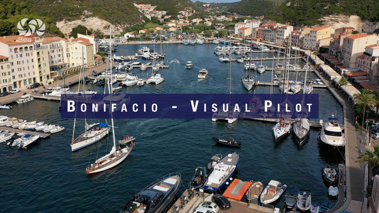
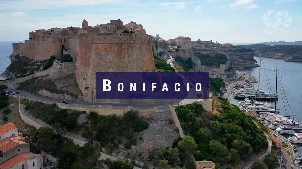
| Marina Bonifacio | 5 nm NW | Full facilities. Book ahead. Citadel worth visiting. |
| Isola Piana | 3 nm NW | Flat granite island. Exceptional water clarity. Day anchorage. |
| Santa Teresa Gallura | 14 nm SE | Sardinia. Ferry to Bonifacio. Full marina. |
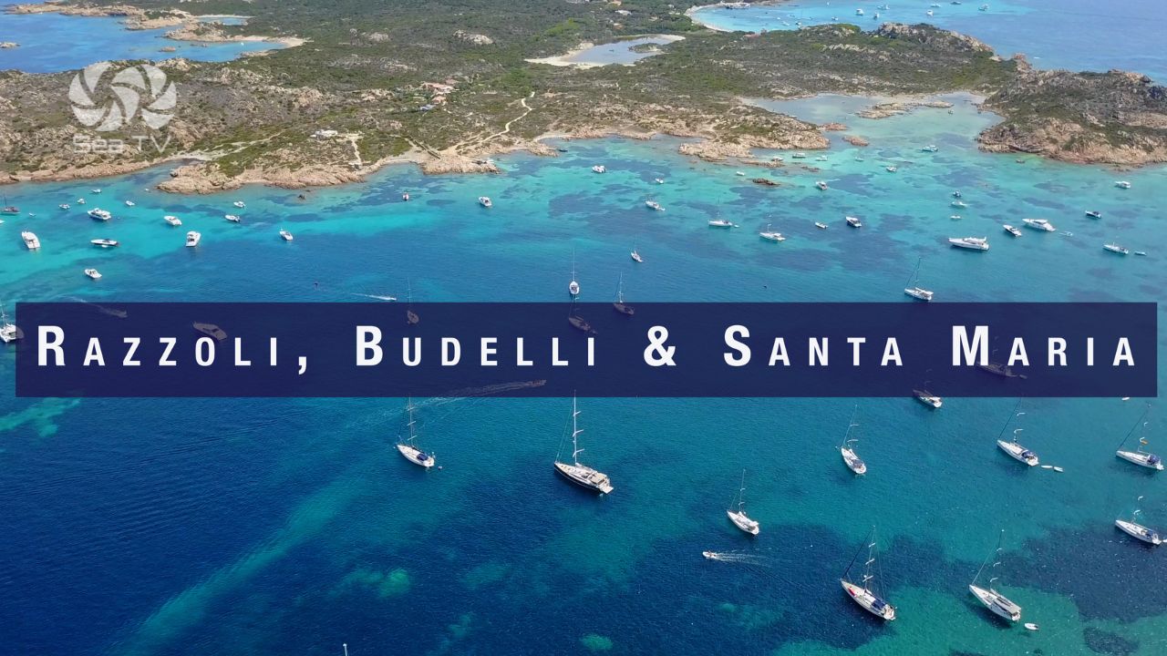
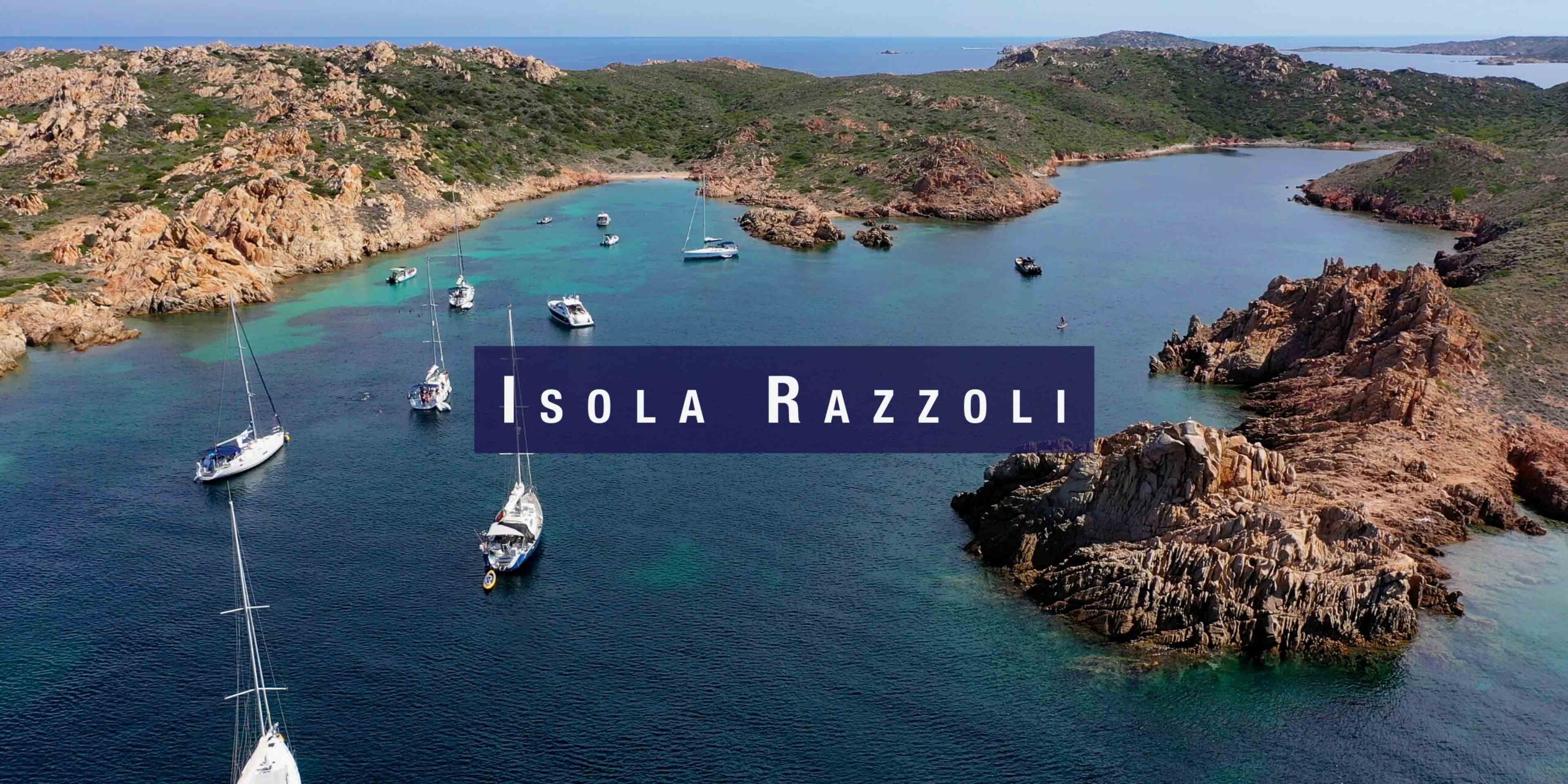
| Razzoli, Budelli & Santa Maria | 15 nm E | La Maddalena Archipelago. Park permit required. |