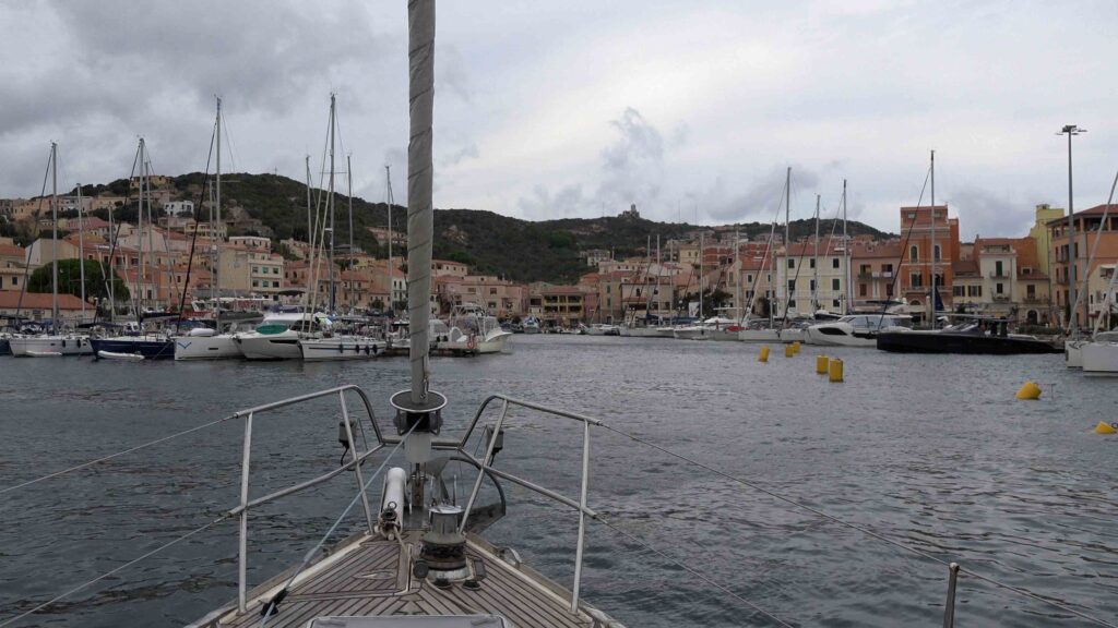
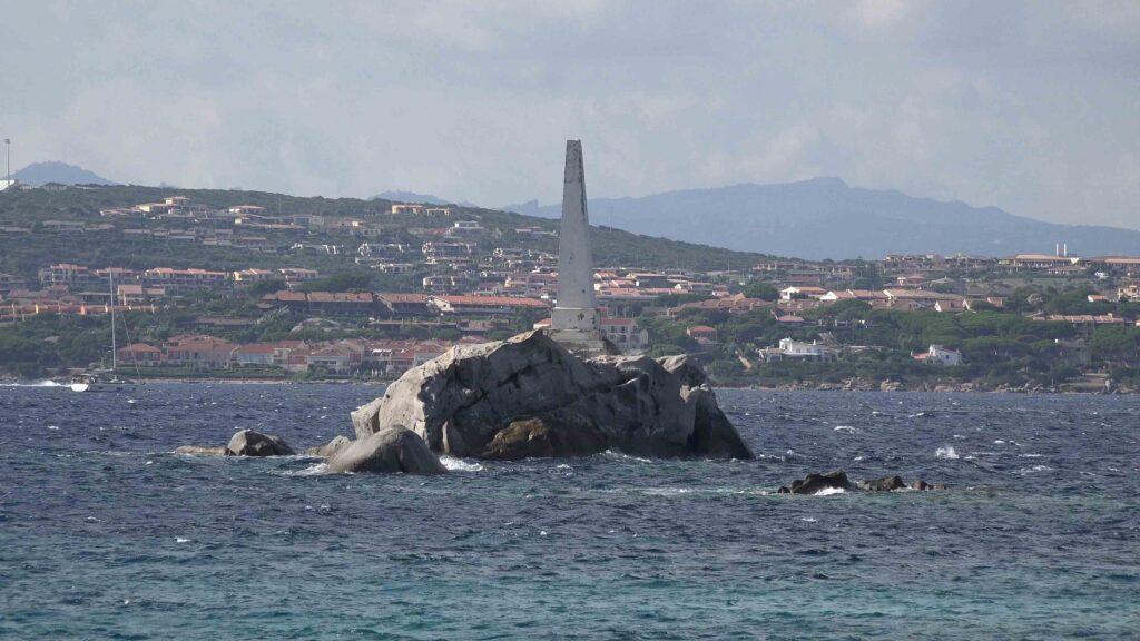
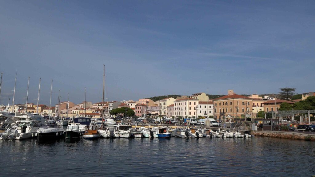
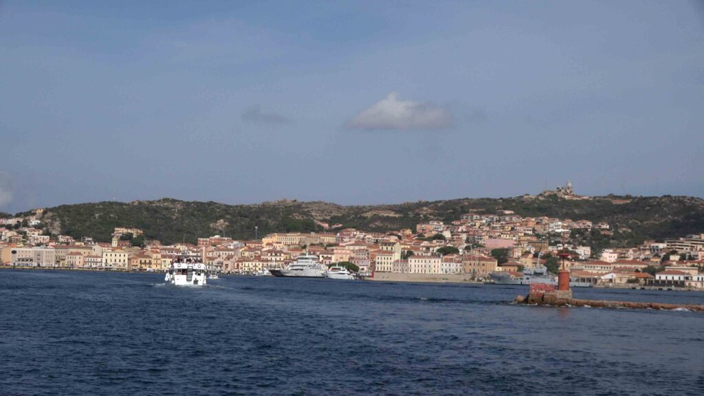
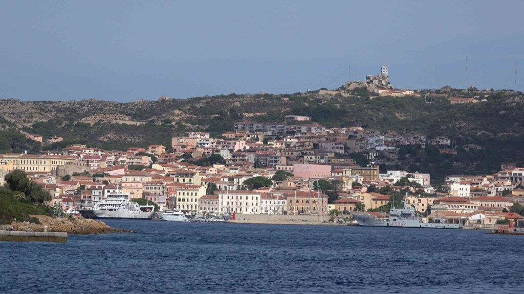
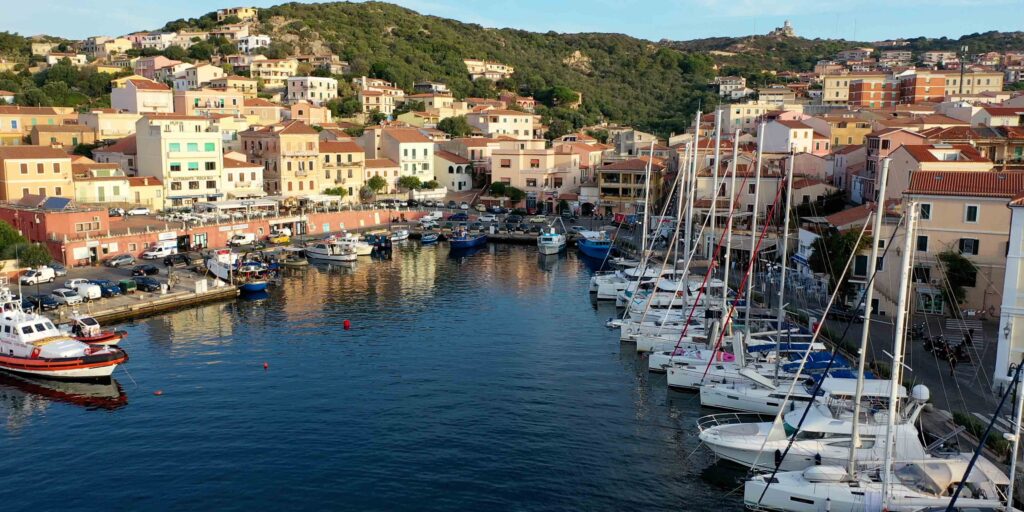
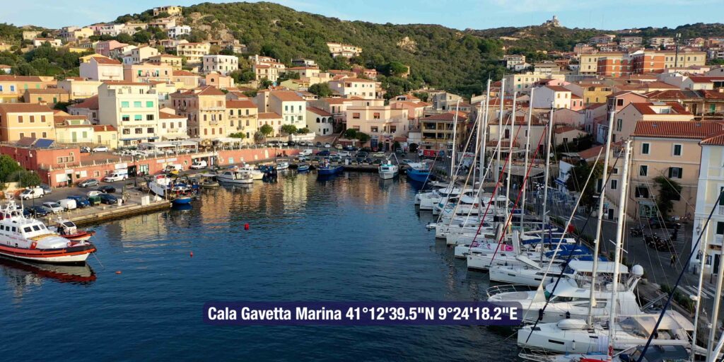
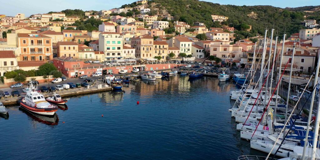
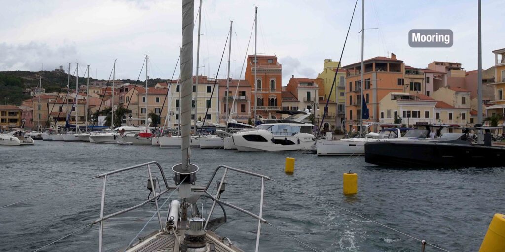
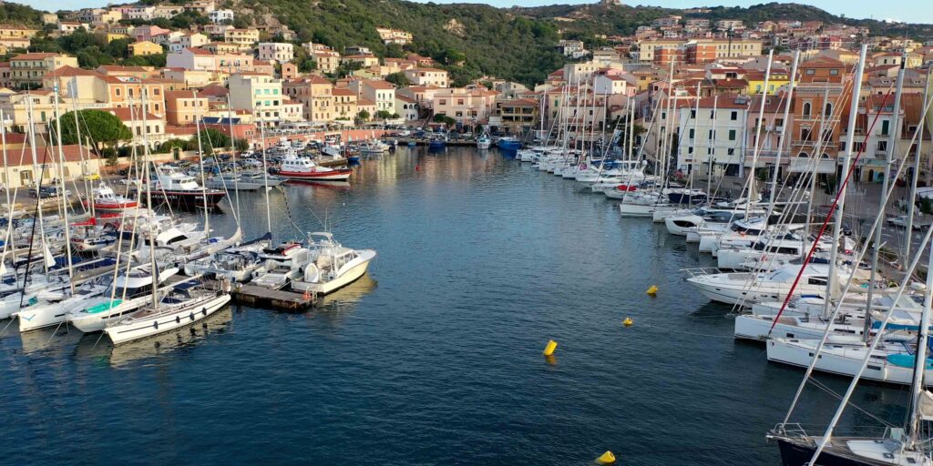
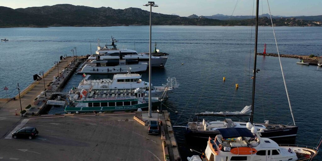
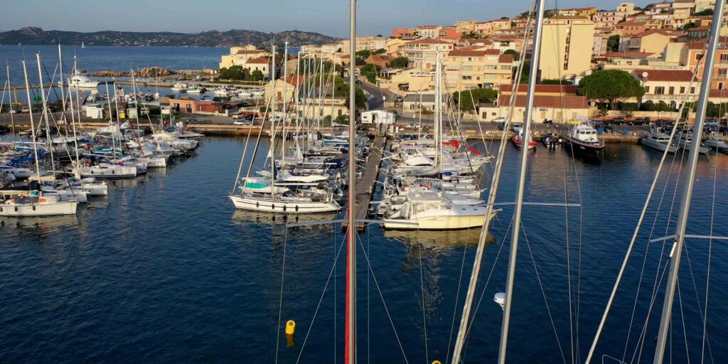
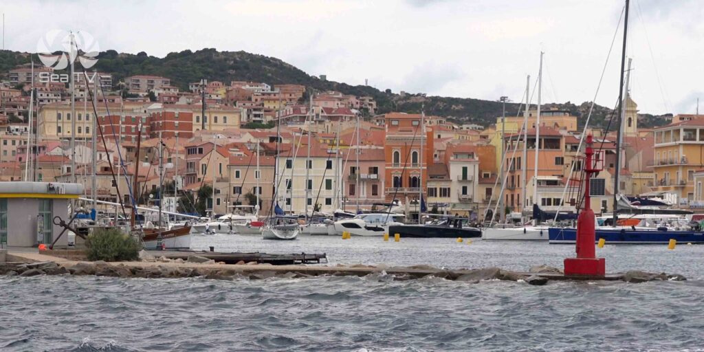
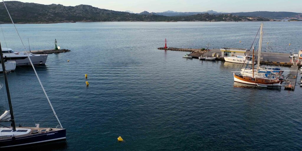
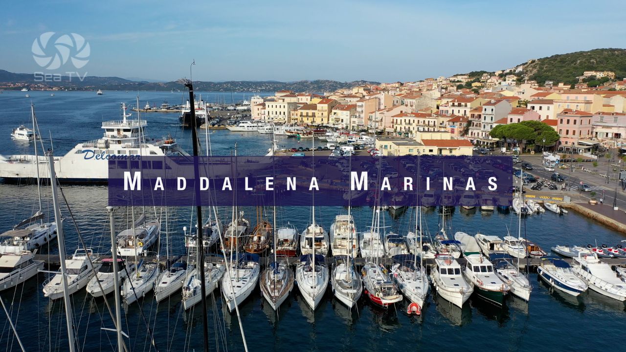
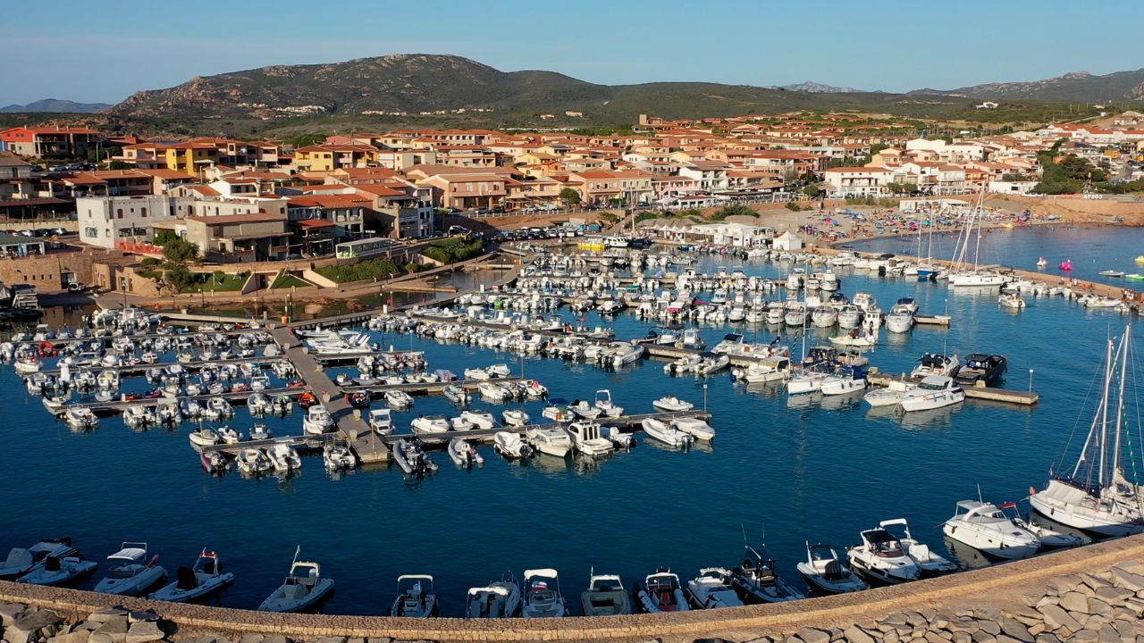
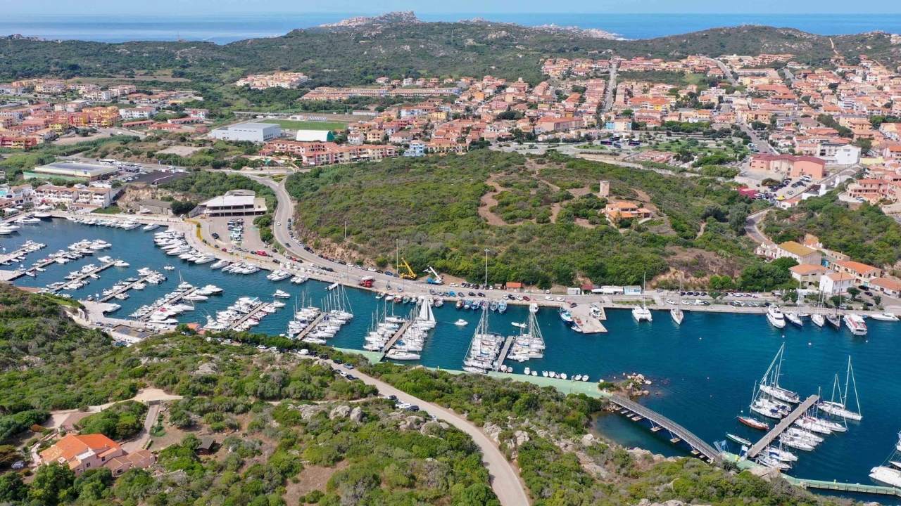
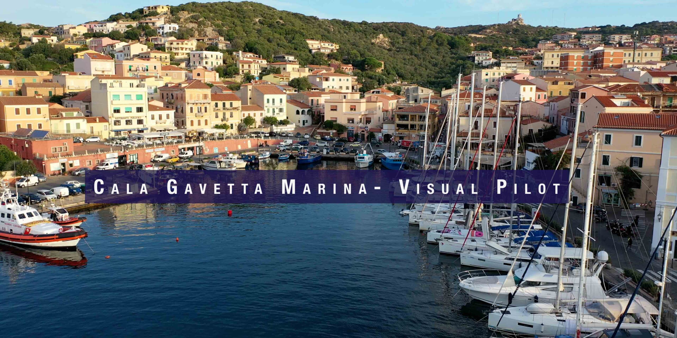
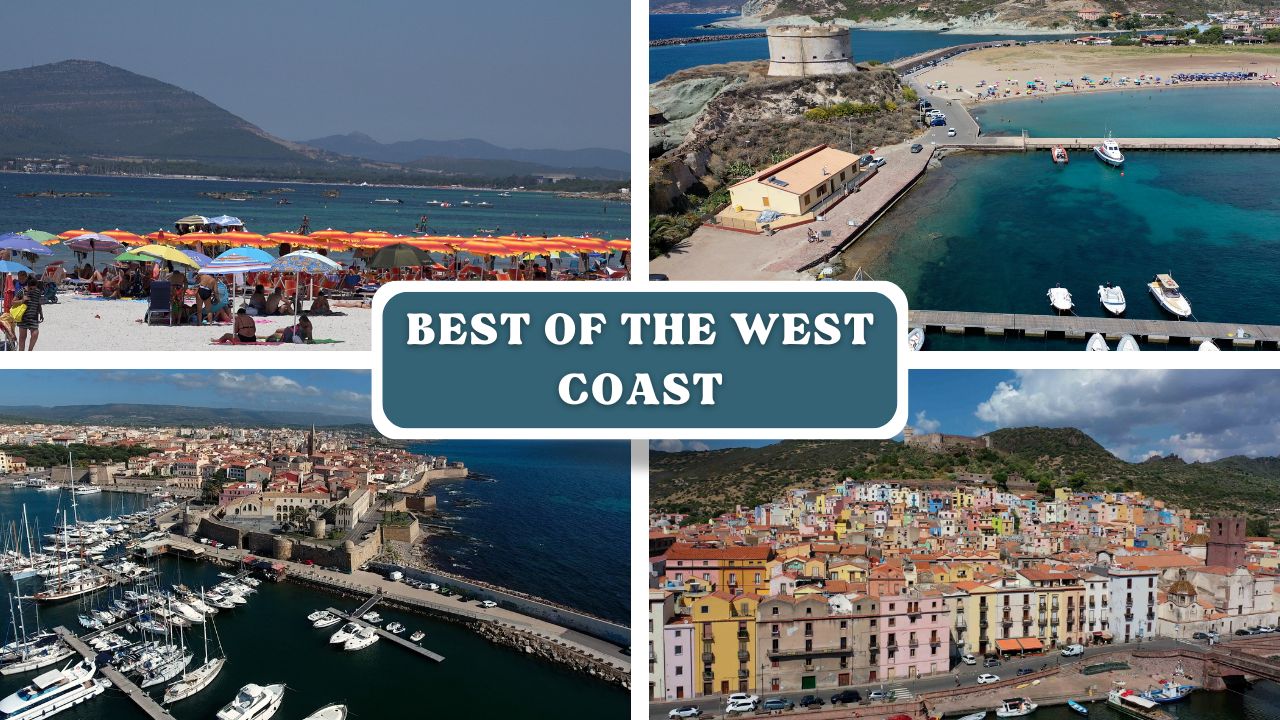
Cala Gavetta is the primary harbour of La Maddalena — the main island of the La Maddalena Archipelago National Park. The town was established in the mid-18th century as a naval base (Garibaldi was born nearby, and Nelson once anchored here), and today it’s a lively tourist hub with restaurants, shops, and full marina services. The harbour itself is well-sheltered and practically oriented, but the real purpose of stopping here is access to the archipelago’s extraordinary anchorages — granite islands, pink sand beaches, and some of the clearest water in the Mediterranean.
⚠ National Park Permit Required: All vessels entering La Maddalena Archipelago National Park waters must obtain a permit in advance. Apply online at autorizzazioni.lamaddalenapark.it. Fees vary by vessel length. A 40% discount applies for sailboats. Navigating without a permit is illegal and subject to significant fines.
⚓ Quick Facts for Sailors
| Coordinates (Cala Gavetta) | 41°12’39.5″N / 9°24’18.2″E |
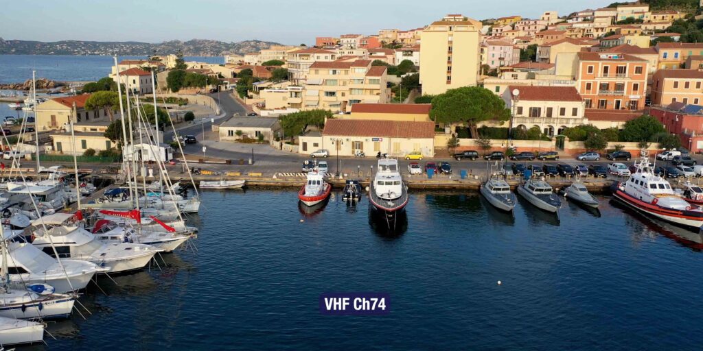
| VHF (Ecomar pontoon) | Ch. 09 / 11 / 16 |
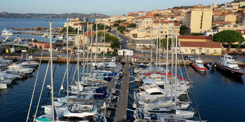
| Berths (Cala Gavetta) | ~130 (municipal) + 120 (private pontoons) |
| Speed limit | 3 knots within 50m of entrance and inside harbour |
| Water & Electricity | ✓ |
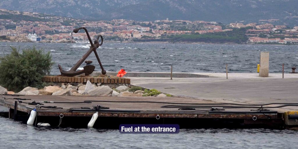
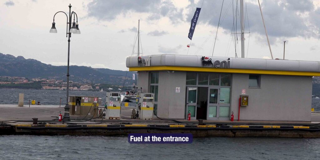
| Fuel | ✓ |
| Showers & Toilets | ✓ |
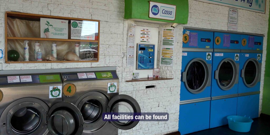
| Supermarket | ✓ near the pontoons |
| Chandlery | ✓ in town |
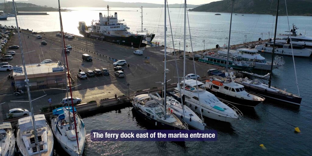
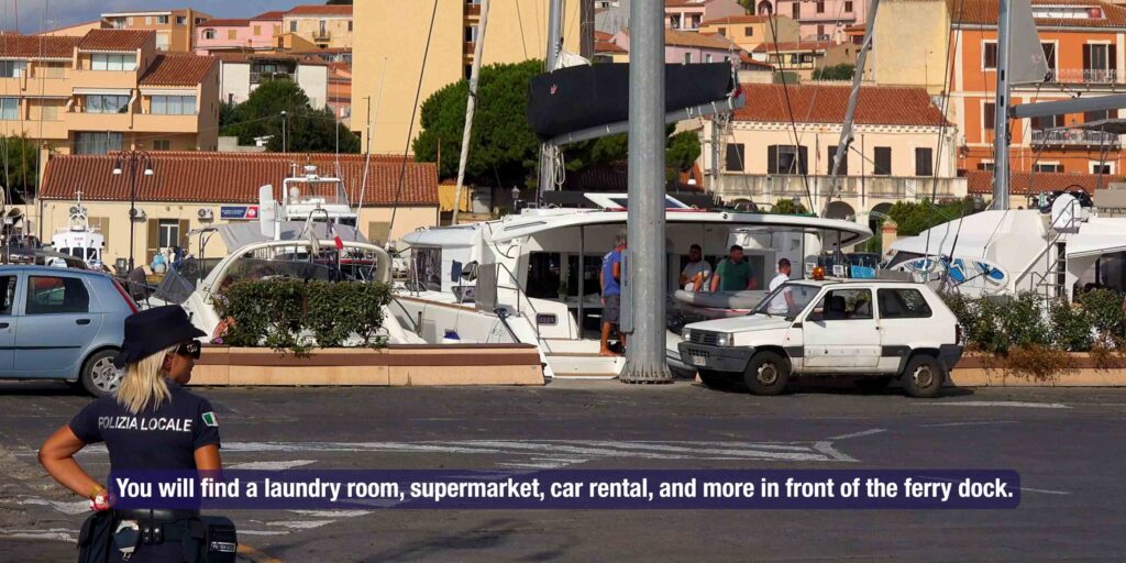
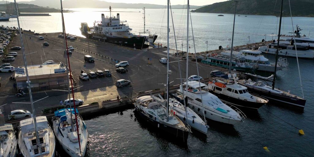
| Ferry dock | East of marina entrance — frequent ferries to Palau |
| National Park permit | Required — book before arrival |
Approach & Navigation
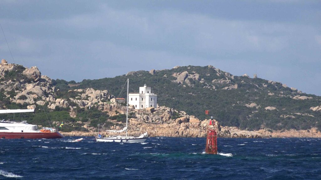
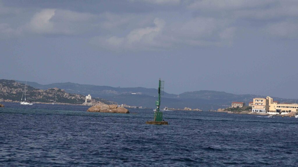
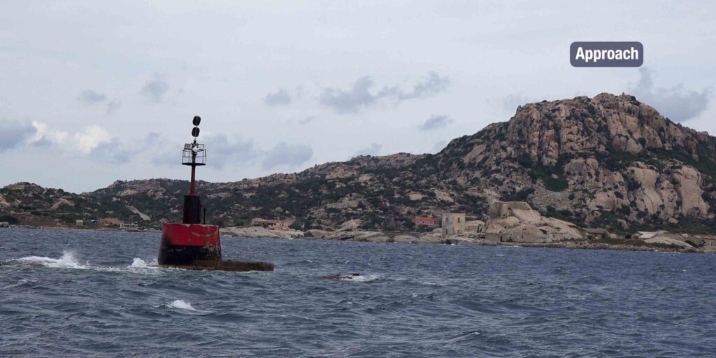
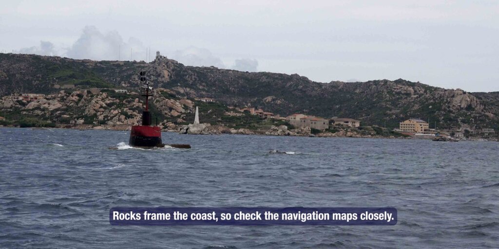
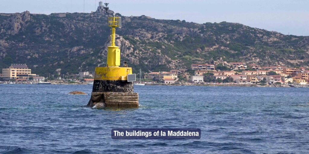
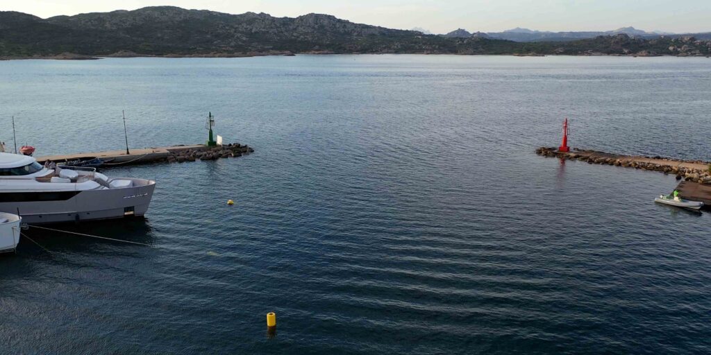
The marina is visible from a considerable distance on approach. Rocks frame the coastline — keep a close eye on the chart and chartplotter. La Maddalena’s buildings become visible as you close in.
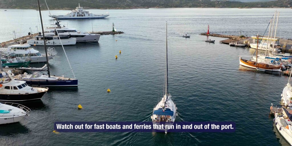
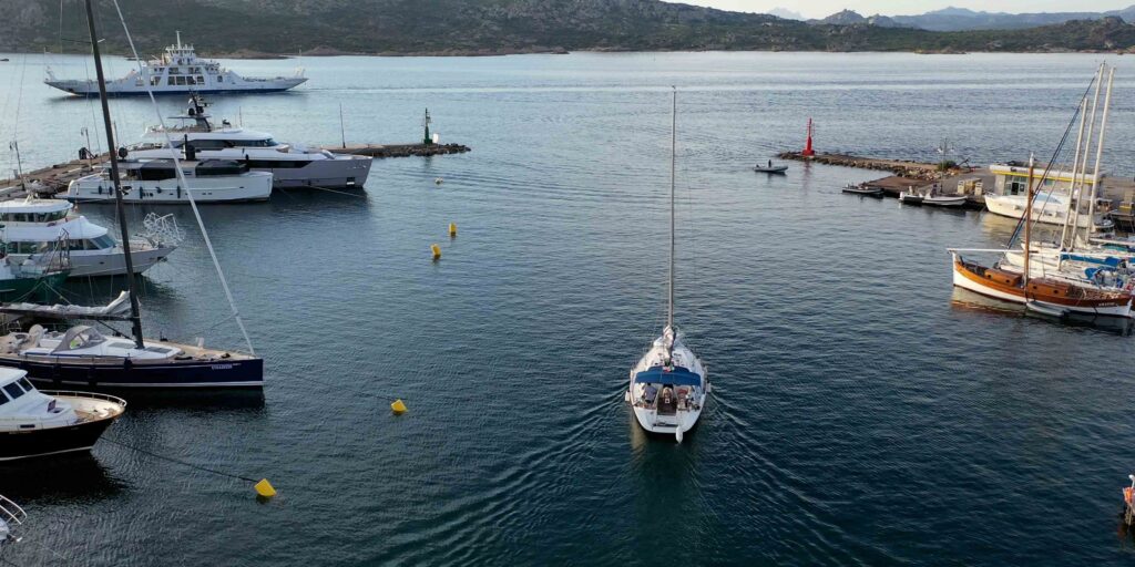
⚠ Fast boats and ferries: The ferry to Palau (crossing time ~15 minutes) runs constantly in summer. Fast excursion boats also exit and enter at speed. The ferry dock is east of the marina entrance — give it wide clearance. Monitor VHF Ch. 16. Speed limit 3 knots inside the harbour.
Advance booking strongly recommended, especially July–August. Marina staff (ormeggiatori) will guide you to your berth on arrival.
⚓ Other Marinas in the Archipelago
| Marina | Location | Berths | Notes |
| Cala Camiciotto | 1.5 nm E of Cala Gavetta | 160 | 8 pontoons. Between Santo Stefano island and mainland. Good for transit. |
| Marina del Ponte | 2 nm E of Cala Gavetta | 120 | Near bridge to Caprera island. Max LOA 25m. Tel: +39 368 553858 |
| Marina di Porto Massimo | NE coast La Maddalena | 140 | Private — by prior arrangement only. Tel: +39 0789 734033 |
️ National Park — Anchoring Rules
Current regulations (verify before arrival — rules change):
- Zone Ma (Integral Protection): No access, no transit. Includes Spiaggia Rosa (Pink Beach, Budelli Island) — bathing prohibited
- Zone Mb (General Protection): Anchoring permitted 08:00–22:00 on sand/rock only. No Posidonia anchorage
- Night anchoring: Prohibited 21:00–08:00 except on Park-authorised mooring buoys (Porto Palma, Cala Portese, Budelli area)
- Speed: Max 7 knots within 300m of coast; max 15 knots beyond
- Fines: Significant penalties for permit violations and restricted zone entry
Check the official park zoning map at lamaddalenapark.it before sailing into the anchorages.
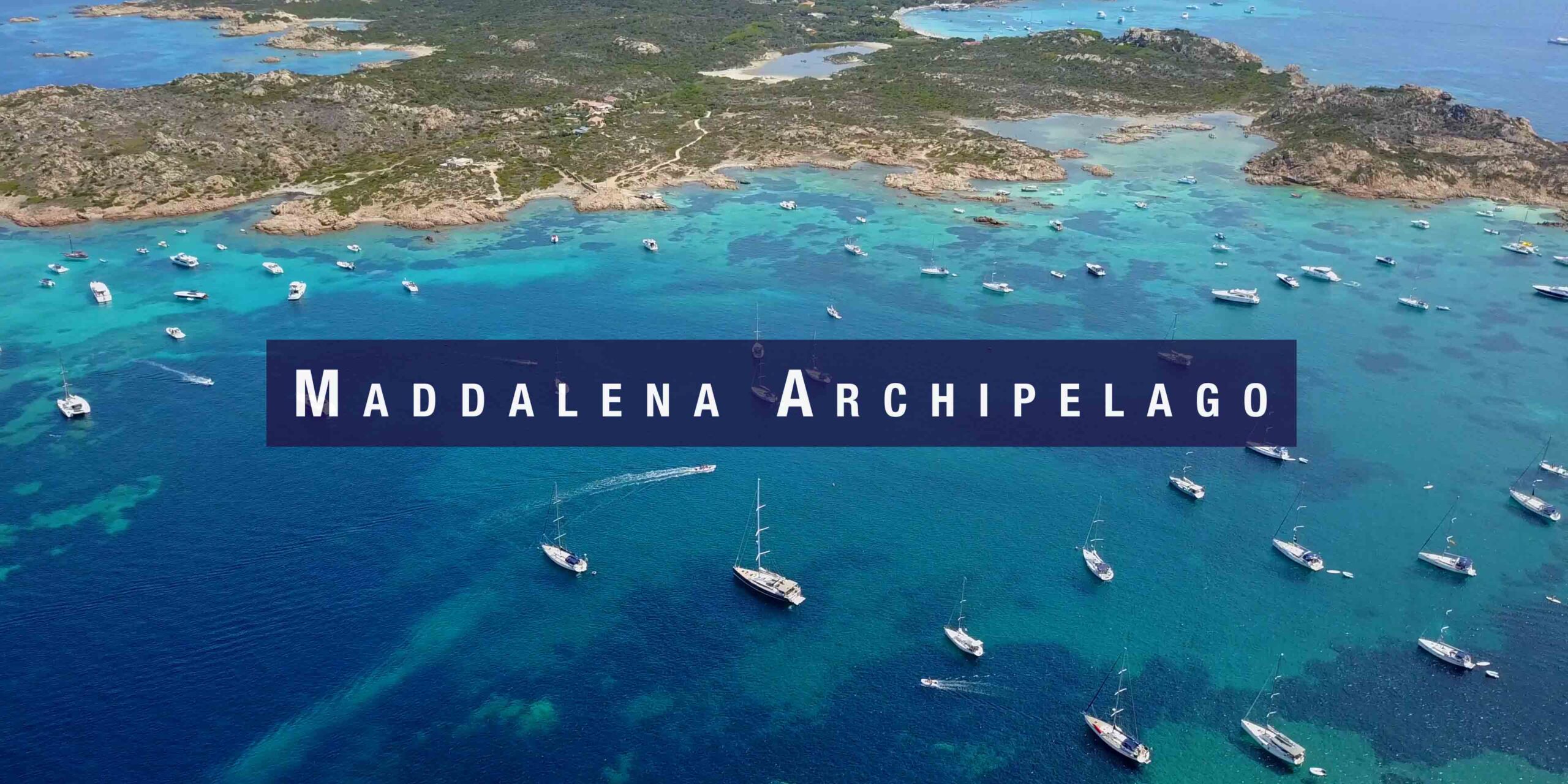
️ Best Anchorages in the Archipelago
| Anchorage | Island | Notes |
| Cala Spalmatore | La Maddalena (NE) | Sheltered except NE/E. Very popular — arrive early. Concrete pier for 15–20 boats. |
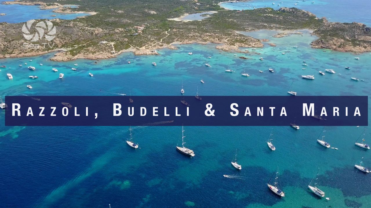
| Spiaggia del Cavaliere | Between Budelli & Santa Maria | Crystal clear “swimming pool” water. One of the finest in the archipelago. Very crowded high season — arrive at dawn. |
| Porto Palma | Caprera | Park-authorised mooring buoys. Good shelter. More space than northern anchorages. |
| Cala Portese | Caprera | Authorised buoys. Protected. Good base for exploring Caprera. |
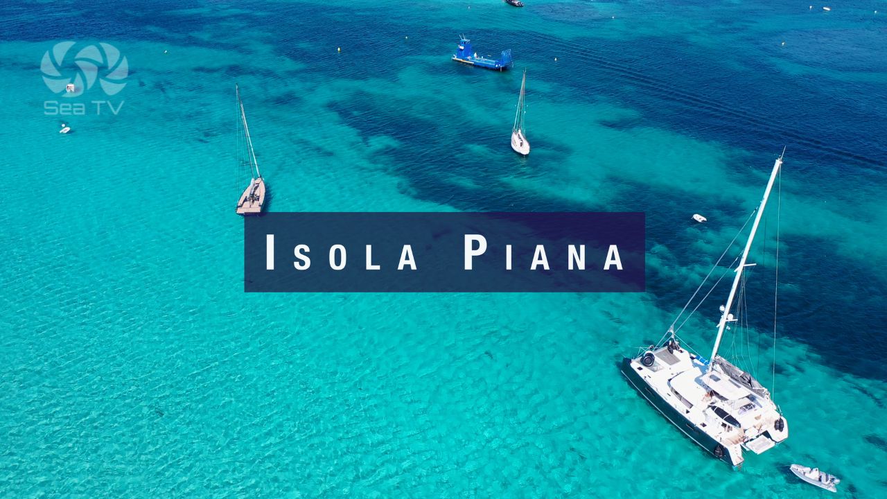
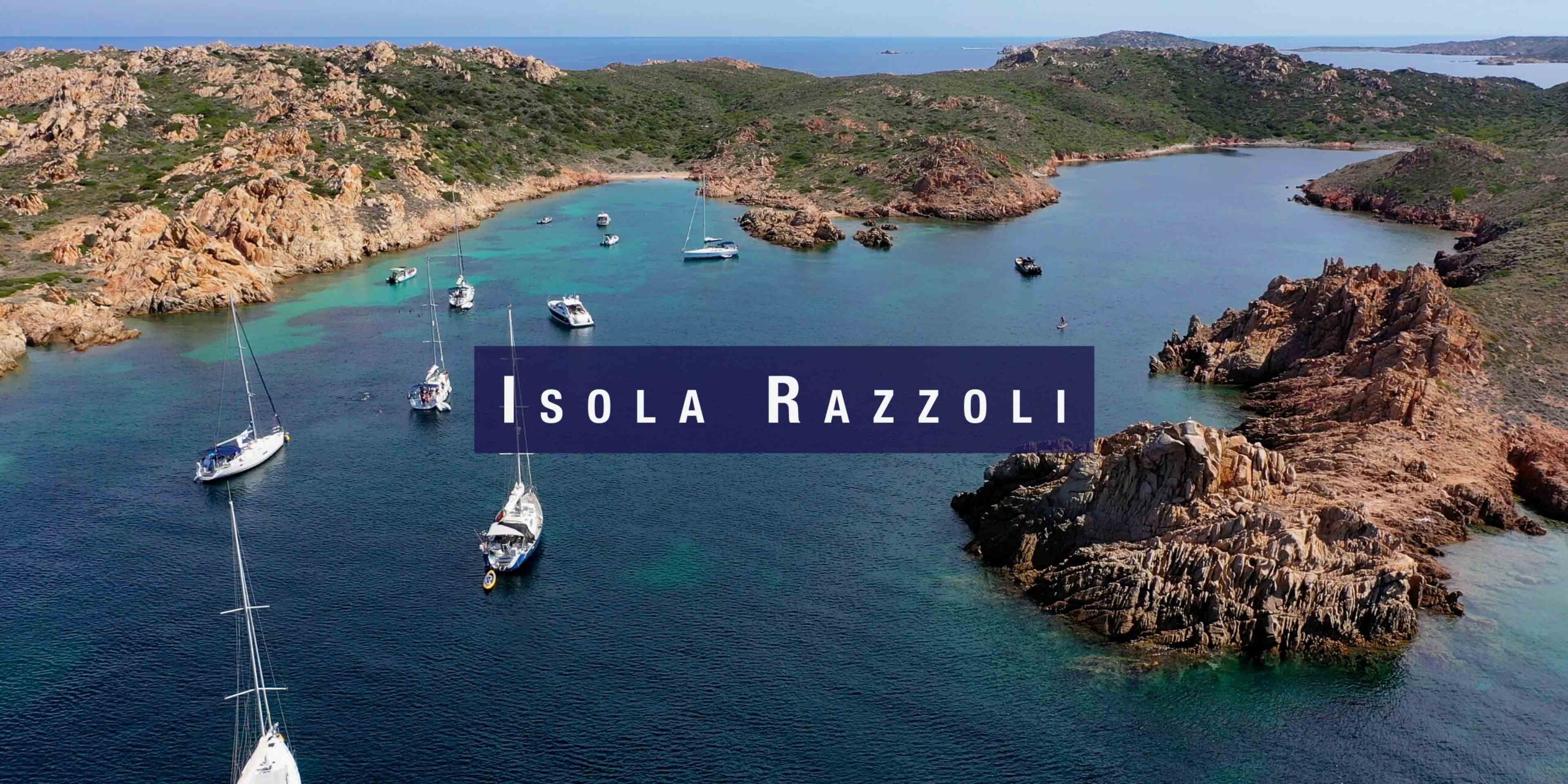
| Razzoli, Budelli & Santa Maria | Northern islands | Full SeaTV guide to these anchorages. |
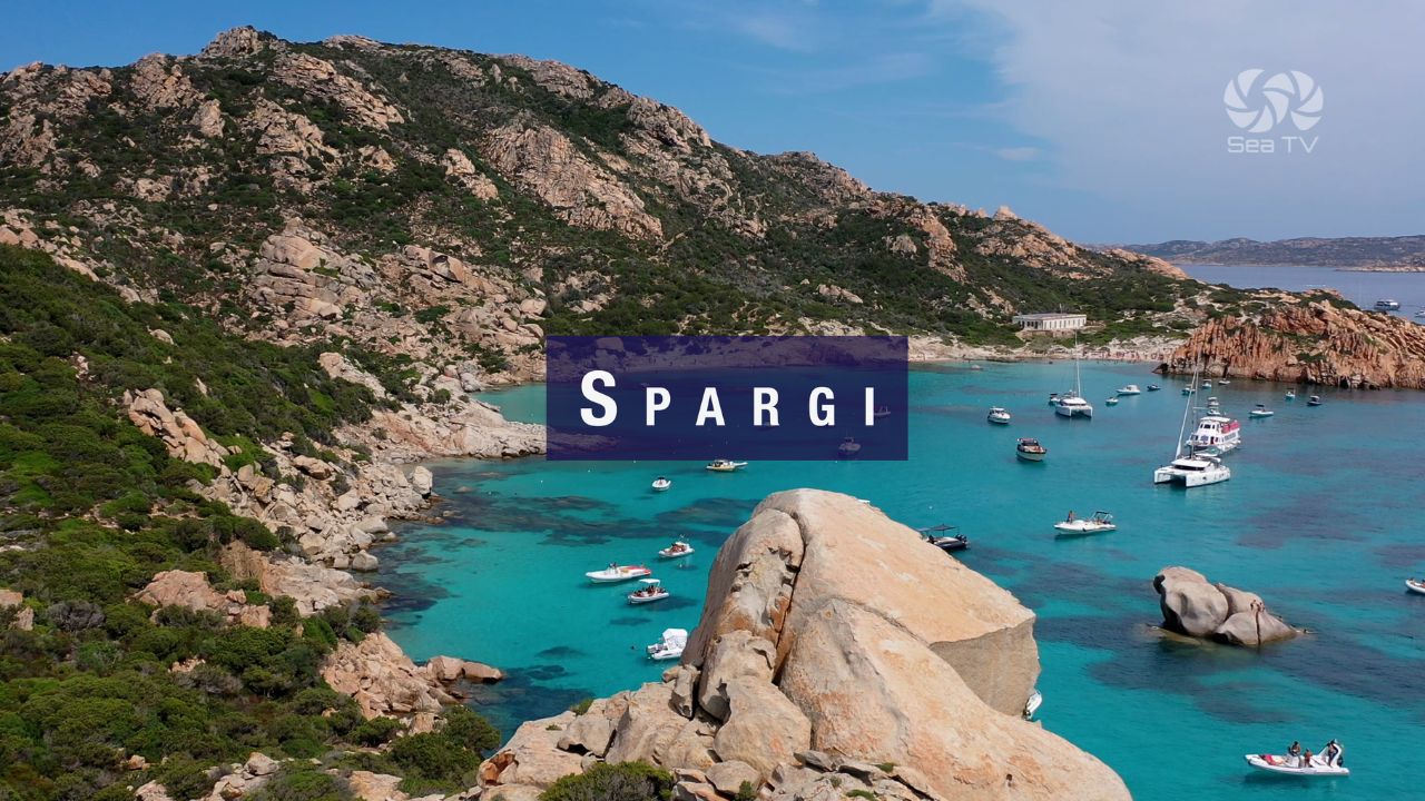
| Spargi Island | Spargi | Several coves. Full SeaTV guide. |
Avoid: Isola Mortorio — access prohibited, steep fines, frequent police checks. Cala Coticcio (Caprera) in strong W wind — westerlies accelerate down the mountain and conditions can become very rough unexpectedly.
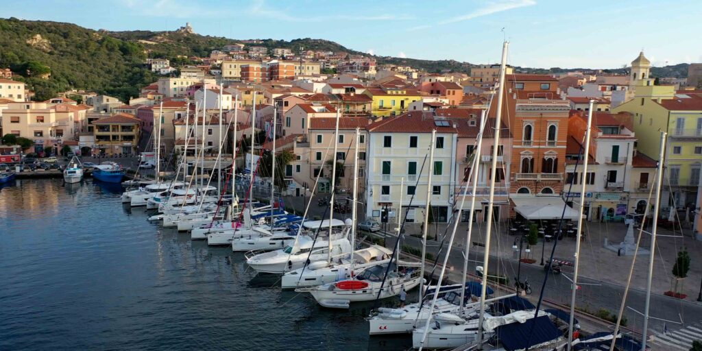
️ La Maddalena Town
A lively Italian island town with genuine year-round residents (12,000+). Good restaurants, bars, and shops along the waterfront. The historic connections: Nelson used the harbour in 1804 while pursuing the French fleet (before Trafalgar), and Garibaldi retired to the nearby island of Caprera, where his house is now a museum.
Caprera — Garibaldi’s Island
Connected to La Maddalena by a bridge. The Compendio Garibaldino preserves the house, vineyard, and tomb of Giuseppe Garibaldi. A national shrine — quieter than the main island and worth an afternoon visit if you’re here for more than one night.
✅ Safety Checklist
- Obtain park permit before arrival: lamaddalenapark.it
- Download current zoning map — zones and rules change annually
- Ferry traffic at Cala Gavetta — maintain VHF watch, respect speed limit
- Bocche di Bonifacio effect: NW winds strengthen 1–2 Beaufort in the strait north of the islands
- Night anchoring on park buoys only — plan evening position before sunset
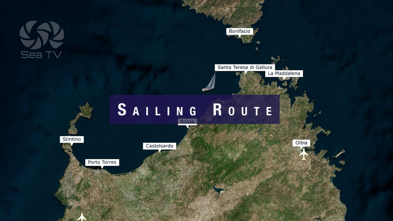
Nearby Destinations
| Destination | Distance | Notes |
| Santa Teresa Gallura | 17 nm NW | Ferry to Corsica. Winter storage. |
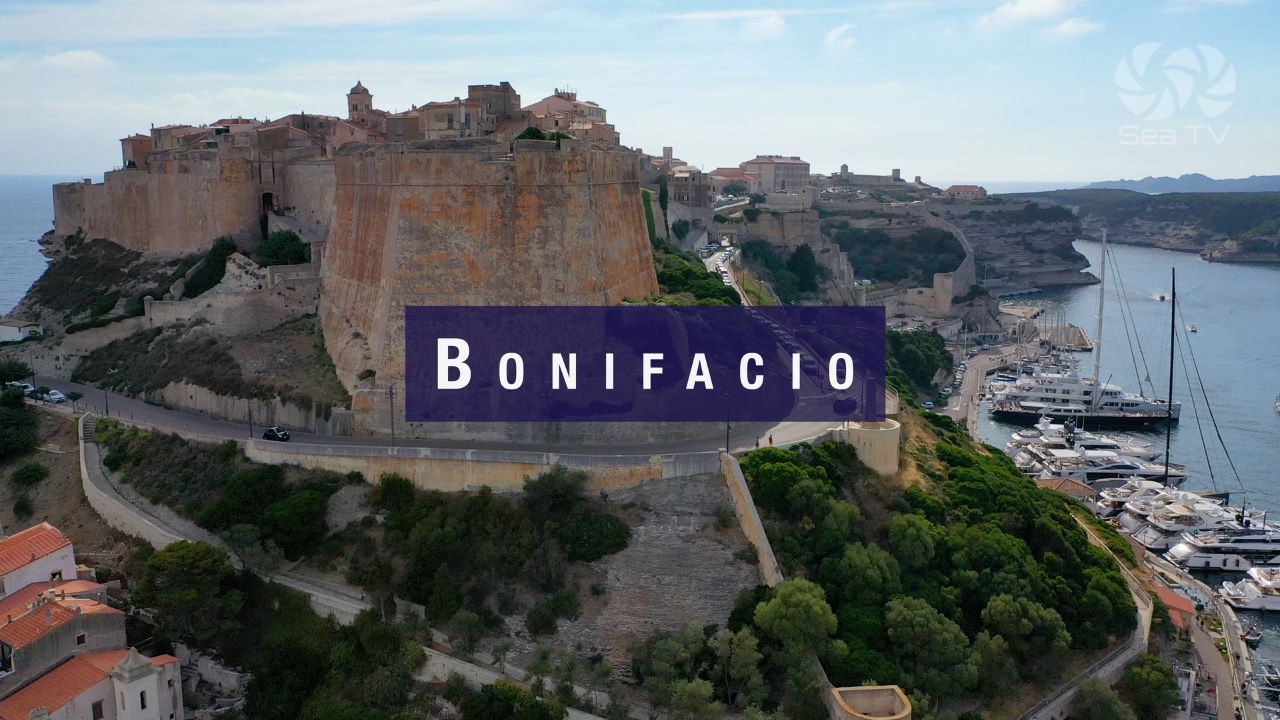
| Marina Bonifacio | 20 nm N | Corsica. Goulet fjord entry. Book ahead. |
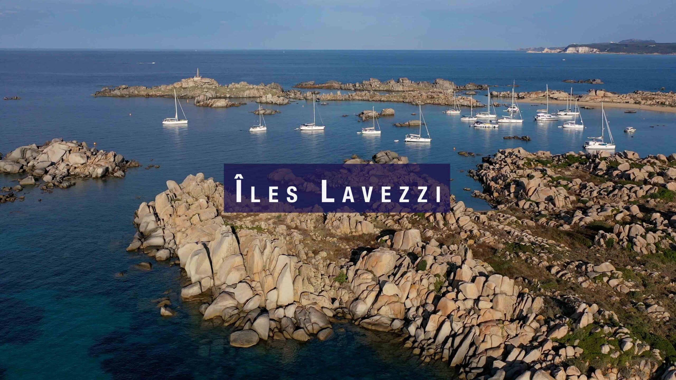
| Îles Lavezzi | 15 nm NW | Corsican nature reserve. Granite anchorages. |
| Full marina guide — La Maddalena | — | SeaTV guide to all marinas in the archipelago. |