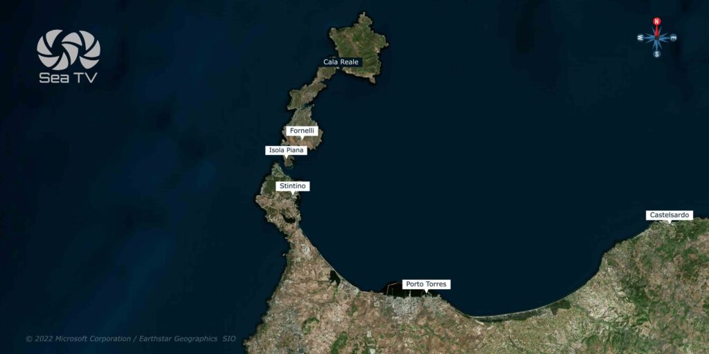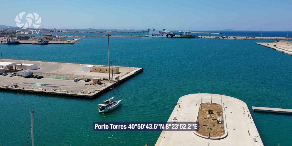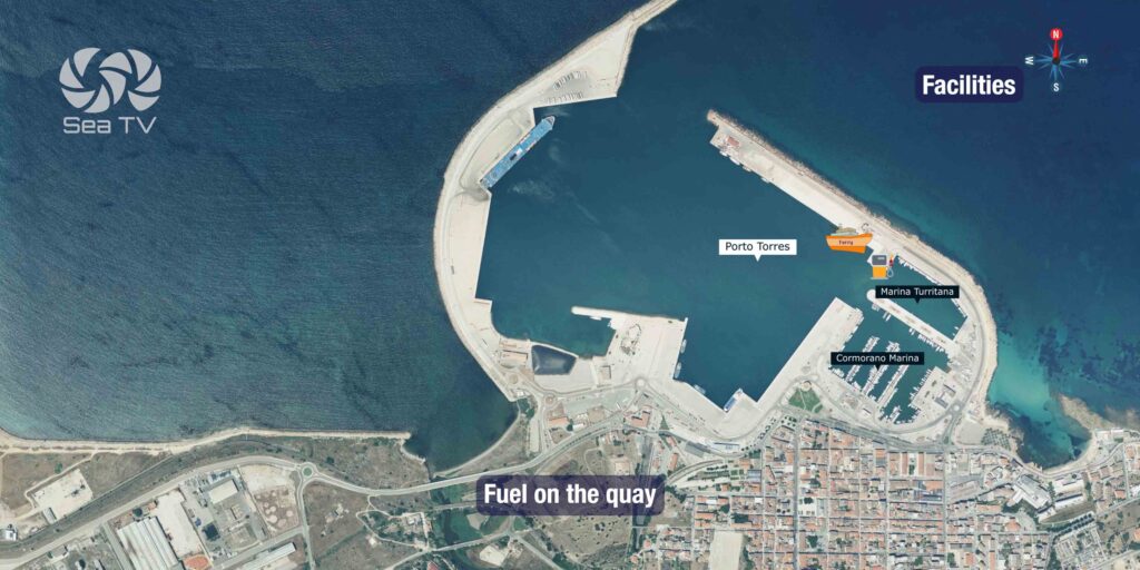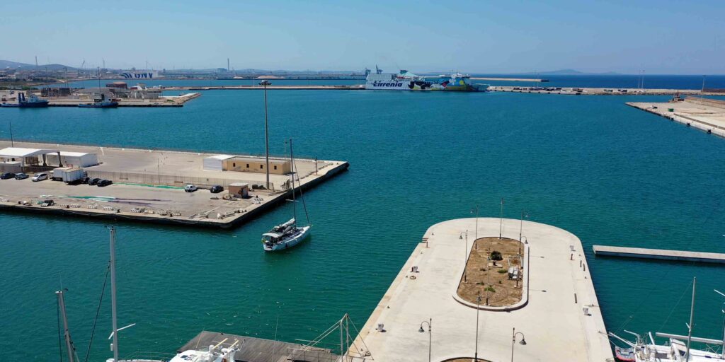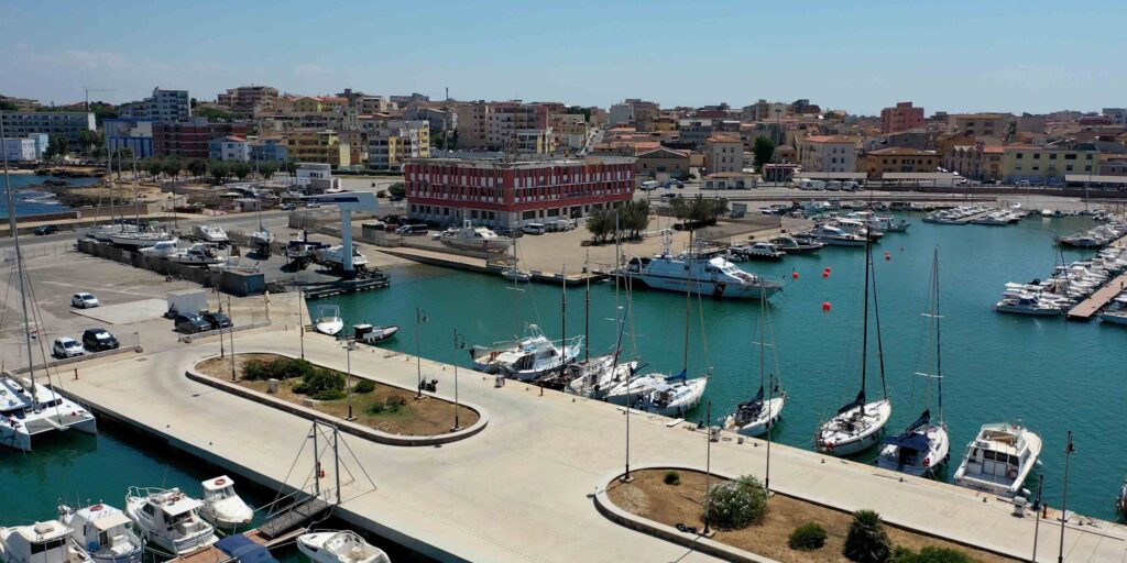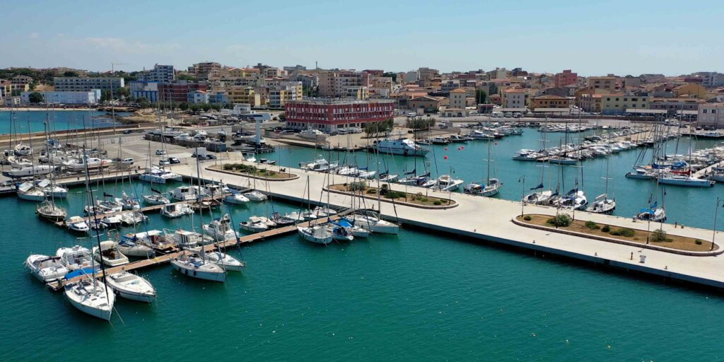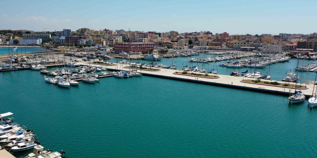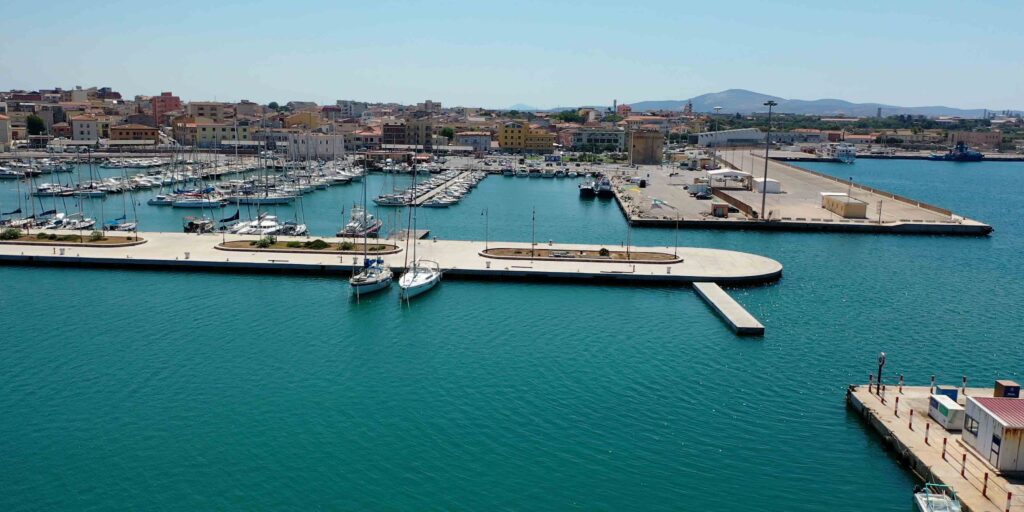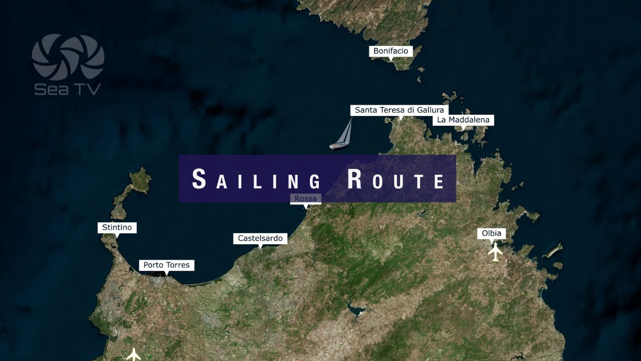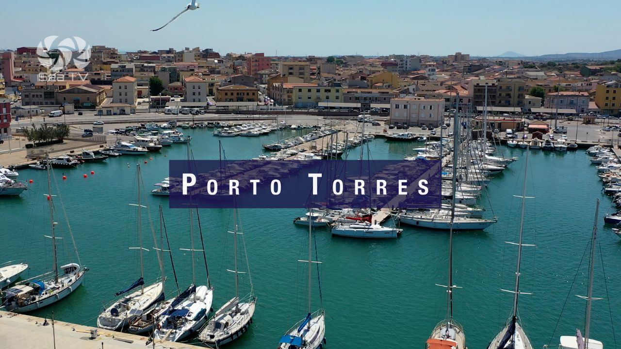
Porto Torres is the main commercial port on Sardinia’s north coast, 11 nautical miles southeast of the Fornelli Passage. It is a working port — ferries to Genoa, Civitavecchia, Barcelona and Toulon dock here daily, along with cargo ships and an active oil terminal. For sailors, it offers well-equipped marinas with full facilities, good provisioning, and convenient ferry connections for crew changes. It is not a scenic anchorage, but it is a reliable and practical stop.
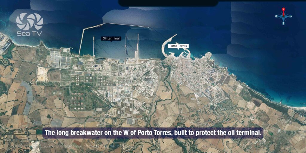
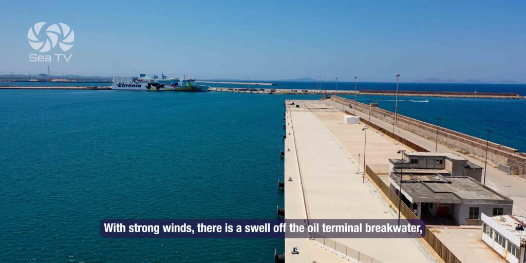
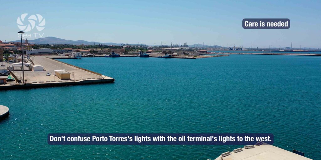
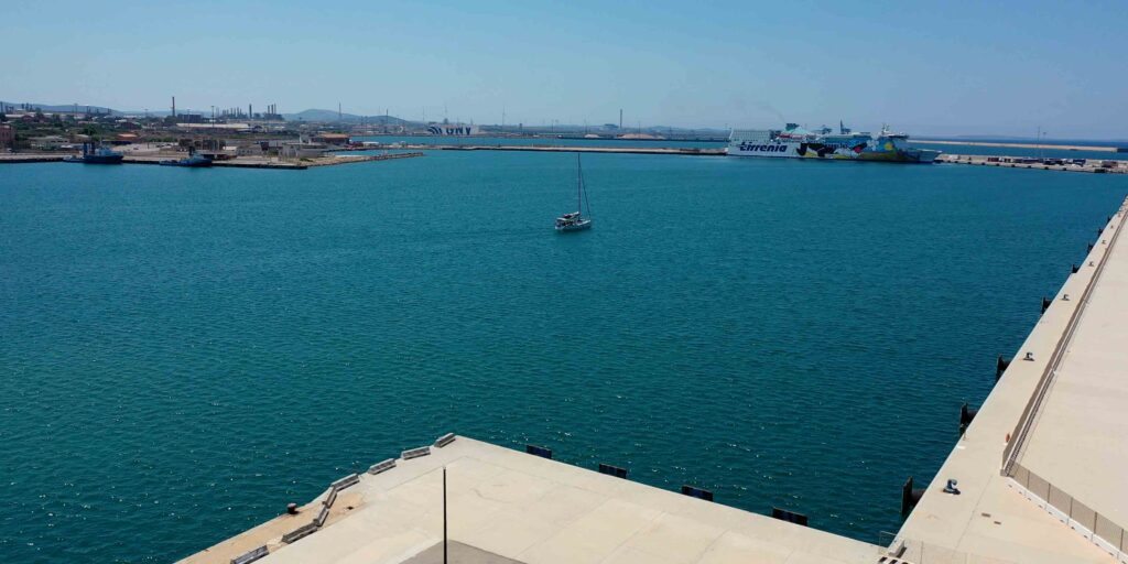
⚠ Critical navigation warning: Do not confuse Porto Torres’s lights with those of the oil terminal to the west. In strong winds, swell builds off the oil terminal breakwater — keep at least half a mile off. At night, the oil terminal lights can appear similar to the port entrance lights.
⚓ Quick Facts for Sailors
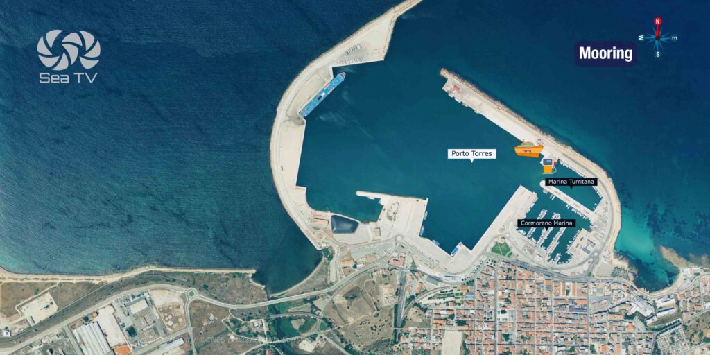
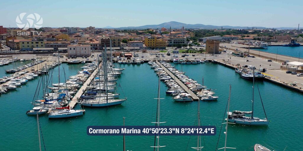
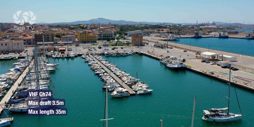
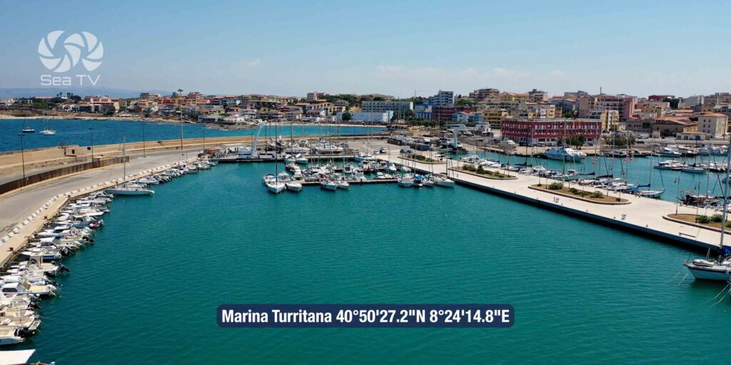
| Marina | Cormorano | Marina Turritana |
| Coordinates | 40°50’23.3″N / 8°24’12.4″E | 40°50’27.2″N / 8°24’14.8″E |
| Berths | 300 | 215 |
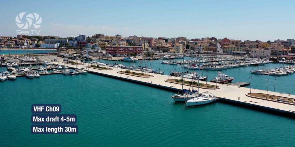
| Max Draft | 3 m | 4–5 m |
| Max Length | 35 m | 30 m |
| VHF | Ch. 74 | Ch. 09 |
| Port Authority VHF | Ch. 12, 16 |
| Port Authority hours | 08:00–21:00 |
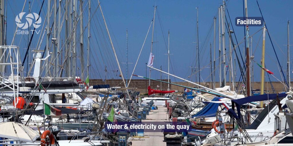
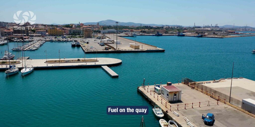
| Water & Electricity | ✓ on the quay |
| Fuel | ✓ on the quay |
| Showers & Toilets | ✓ |
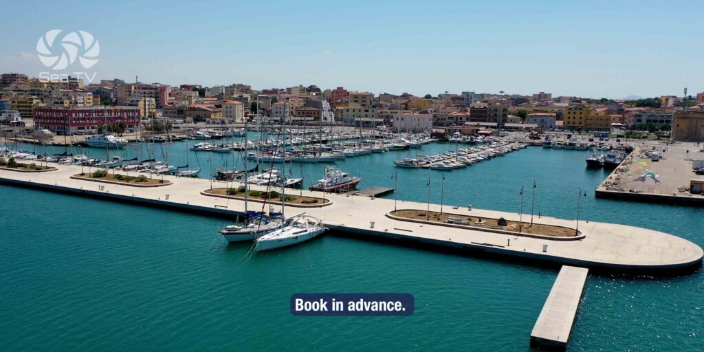
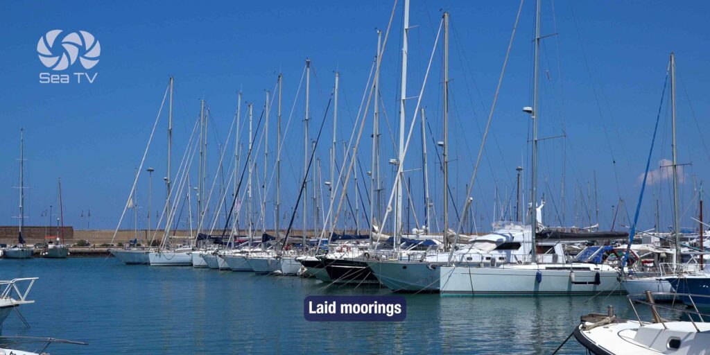
| Moorings | Laid moorings available — book in advance |
| Best Season | Year-round (port operates all year) |
Approach & Navigation
Entry Conditions
Approach from the N or NW. The port entrance is well-marked. The long breakwater on the west side of Porto Torres was built to protect the oil terminal — this is the structure that can create confusion at night.
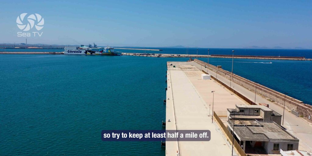
⚠ Oil terminal: The terminal is 11 nm NW of the Fornelli Passage. Do not approach the oil terminal breakwater in strong winds — swell builds unpredictably off its end. Stay half a mile clear. At night: the terminal has its own lights that can be mistaken for port approach lights — verify your position on chart before committing to entry.
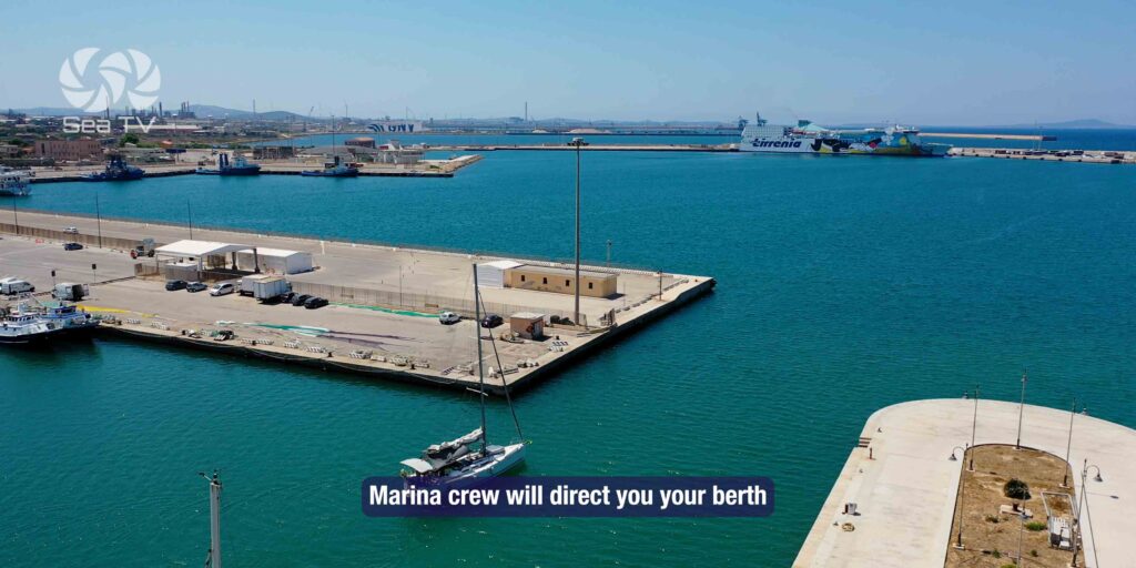
Ferry & Commercial Traffic
Porto Torres handles major ferry routes — Genova, Civitavecchia, Barcelona, Toulon — plus cargo. Large vessels enter and depart regularly, particularly in summer. Monitor VHF Ch. 12/16, keep clear of the main port approach channel, and be aware that ferries have right of way. The marina crew will direct you to your berth on arrival.
Wind & Weather
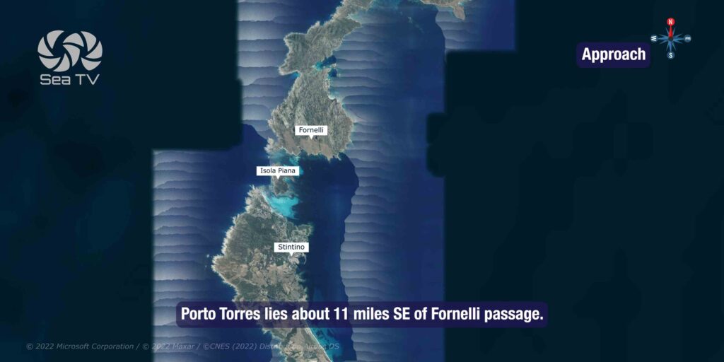
Porto Torres is exposed to the NW. The Maestrale can funnel strongly along the north coast of Sardinia. The port provides reasonable shelter once inside, but the approach in heavy NW conditions requires care. The Fornelli Passage, 11 nm NW, is a useful alternative approach and well worth considering if wind is building from the W.
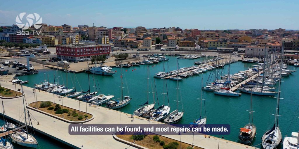
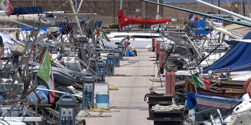
Facilities & Services
- Water & electricity: ✓ all berths
- Fuel: ✓ quayside
- Showers & toilets: ✓
- Boat rental: ✓ available at the marina
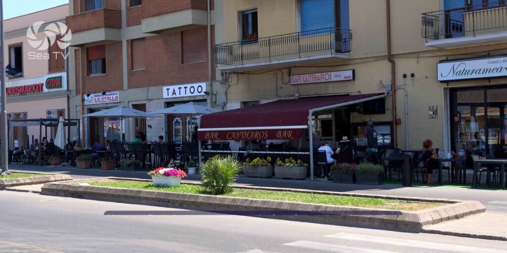
- Supermarkets: multiple options in town — best provisioning on the north coast
- Marine supplies: chandlery available in town [VERIFY]
- Technical services: workshop and boatyard services available [VERIFY]
⛴️ Ferry Connections
| Route | Operator | Crossing time |
| Genova | Tirrenia, GNV | ~10–12 hrs (overnight) |
| Civitavecchia (Rome) | Tirrenia | ~8 hrs |
| Barcelona | Grimaldi Lines | ~12 hrs |
| Toulon (France) | Corsica Ferries | ~16 hrs |
Porto Torres is one of the best crew change points in northern Sardinia — ferry connections to mainland Italy are reliable and frequent throughout the season. Olbia (60 km east by road) also has an airport for flying crew in or out.
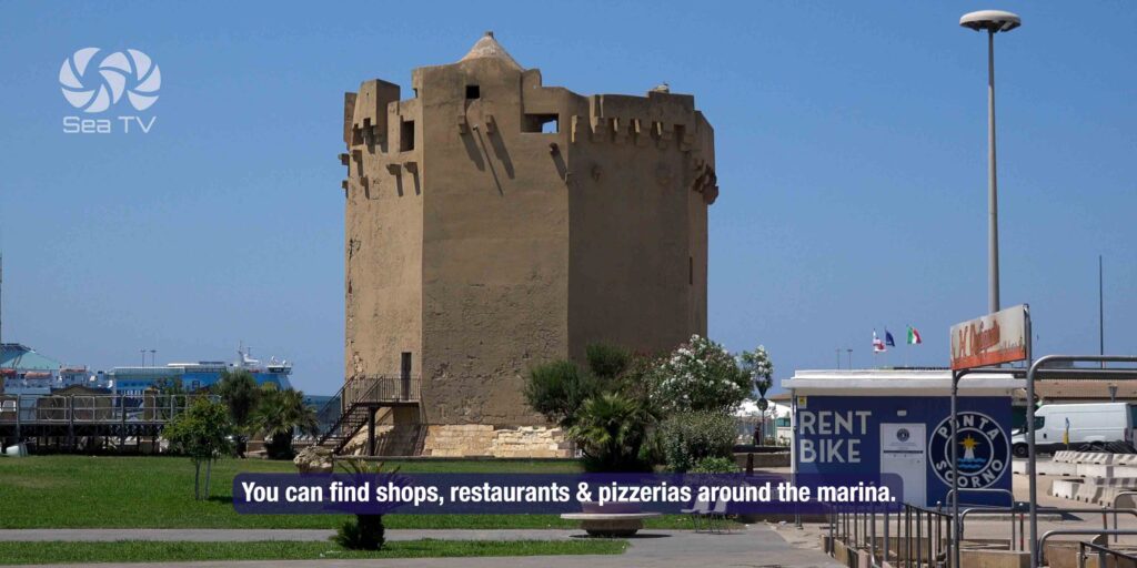
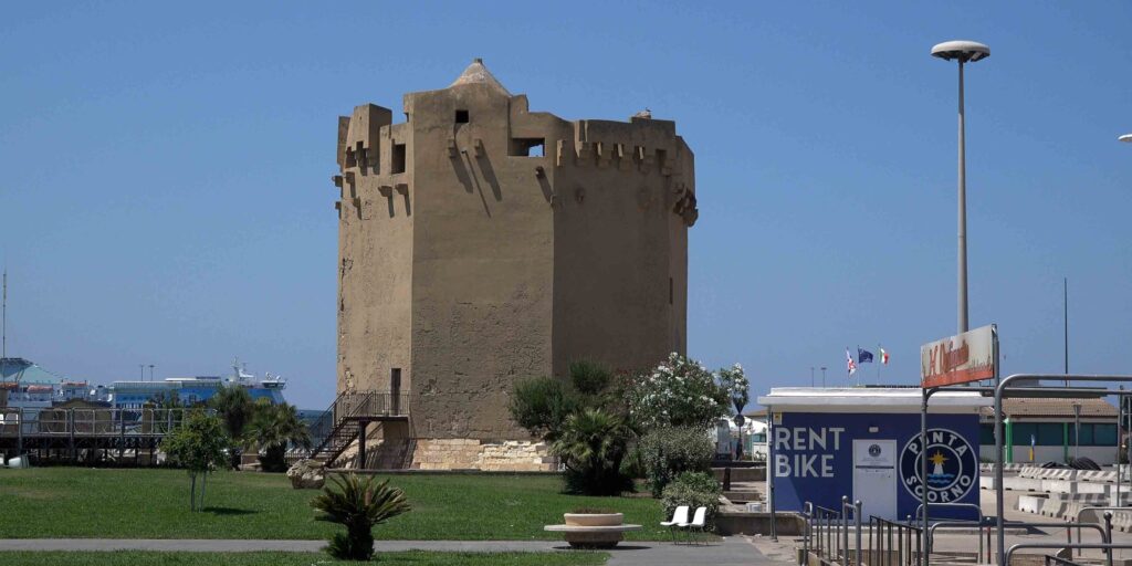
️ What to See in Town
Porto Torres is primarily a commercial and industrial town, but it has genuine history worth seeing if you’re here for more than a fuel stop.
Basilica di San Gavino
Built in the 11th century, this is one of the finest Romanesque churches in Sardinia and one of the largest on the island. Two apses, no facade — an unusual design. The crypt contains Roman sarcophagi and the remains of three early Christian martyrs. In the town centre, 10 minutes walk from the marina.
Museo Nazionale di Antiquarium Turritano
Roman-era archaeological museum covering the ancient city of Turris Libisonis (the Roman name for Porto Torres). Mosaics, sculptures, coins, and everyday objects from one of the most important Roman settlements in Sardinia. Adjacent to the Basilica di San Gavino. [VERIFY current opening hours]
Ponte Romano
A Roman bridge across the Mannu River, partially preserved. One of the few Roman bridges still visible in Sardinia. Near the museum.
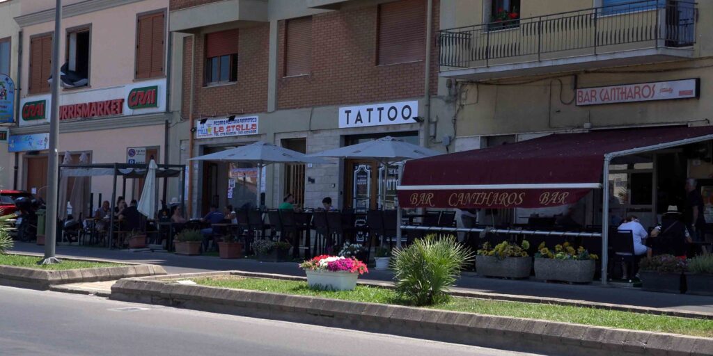
️ Where to Eat
Porto Torres has a good range of restaurants for a working port town. The seafront and town centre both have options. Fresh fish is available — the port has an active fishing fleet alongside the commercial traffic.
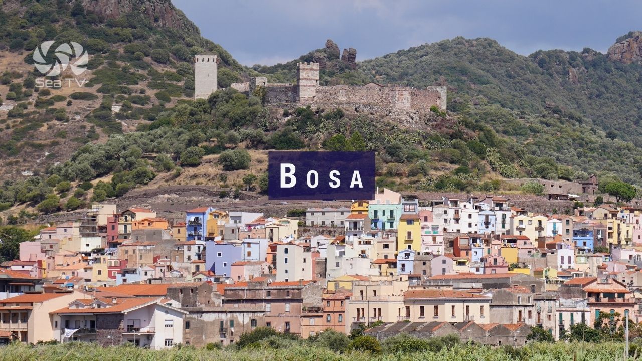
Sailor’s tip: Porto Torres is a solid provisioning stop before or after a long passage. Supermarkets in town are well-stocked — better than most marinas on the north coast. If you’re heading west toward Bosa (55 nm of exposed coast with no shelter), top up fuel and water here and check the forecast carefully before departing.
✅ Sailor’s Safety Checklist
- Oil terminal to the W — stay half a mile clear, especially in strong NW winds
- Monitor VHF Ch. 12/16 for ferry and commercial traffic
- Forecast check before westbound passage to Bosa — 55 nm of exposed coast, no shelter
- Fuel and water available quayside — good opportunity to top up before coastal passages
- Book berth in advance for July/August
Nearby Destinations
| Destination | Distance | Notes |
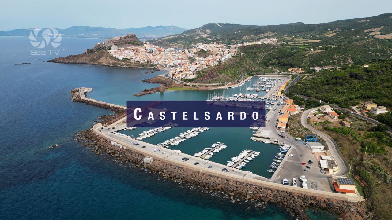
| Castelsardo | 18 nm E | Medieval hilltop town. Small harbour. |
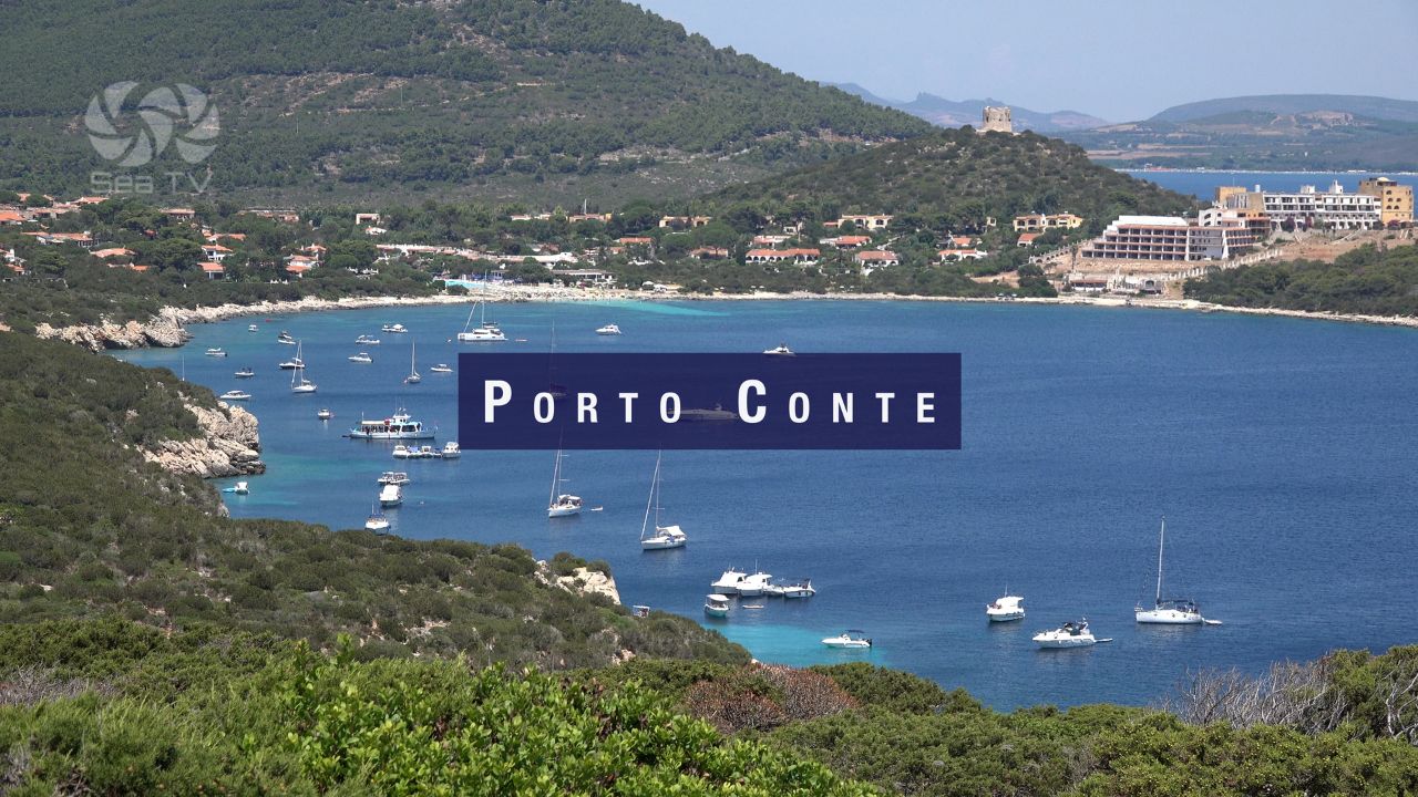
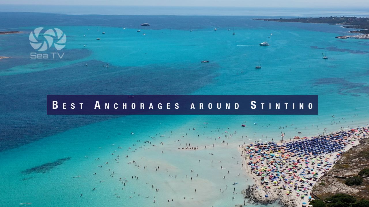
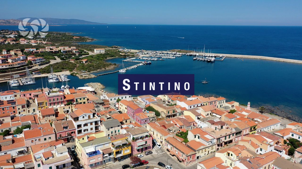
| Stintino | 12 nm NW | Small fishing village near the Fornelli Passage. Famous La Pelosa beach. |
| Bosa | 55 nm SW | Exposed coastal passage — check forecast. Italy’s most beautiful village on the Temo River. |
| Isola Rossa | 30 nm E | Small anchorage on the NW coast. |