SeaTV · Greece · Dodecanese Islands · Mandraki Kos Harbour
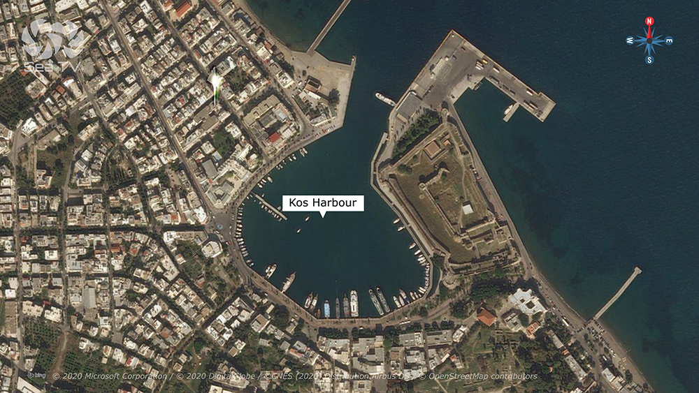
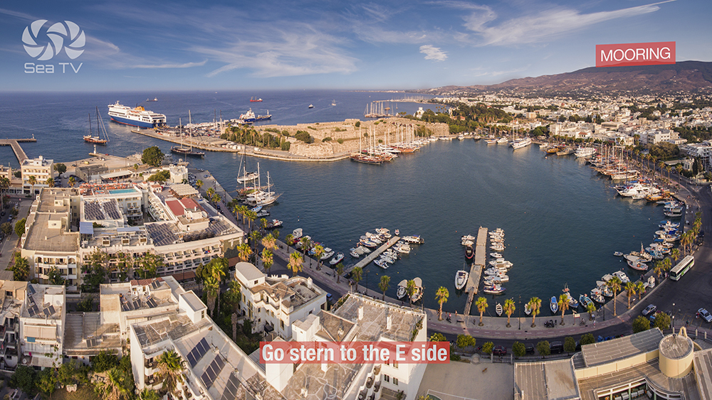
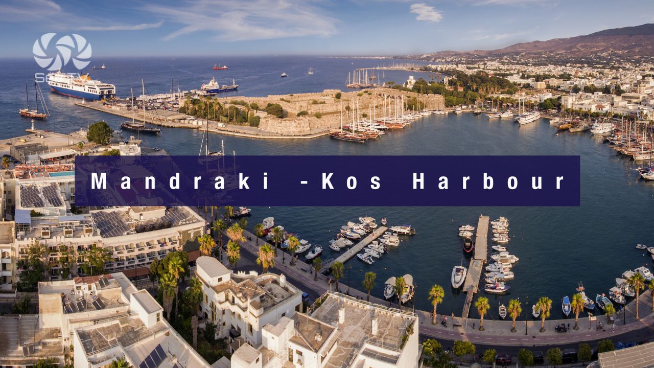
Mandraki — Kos Town’s Main Harbour at the Knights’ Castle
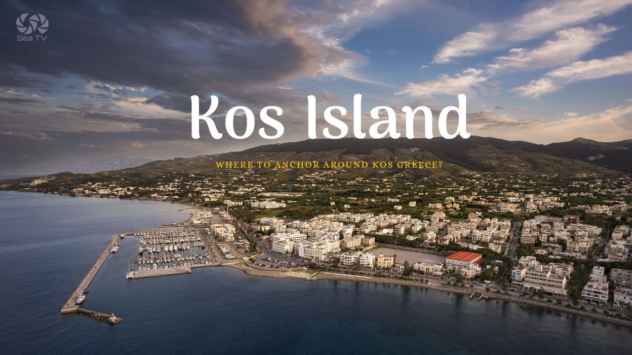
The capital harbour of Kos in the heart of the historic town — 50 berths, max LOA 55 m, depths up to 4 m, with the 14th-century Knights of St John castle (Neratzia) standing guard at the harbour entrance. Walking distance to Hippocrates’s Plane Tree, the Roman mosaic site, the Medieval Gate, and the Italian-colonial public buildings of the modern town. Loud but central — the most-used Dodecanese stop after Rhodes.
Mandraki Harbour is the heart of Kos Town — the capital and main port of Kos, situated on a large bay in the NE of the island. Kos itself sits ~6 NM east of Kalymnos, in the Gulf of Kos, between the Myndus Peninsula (Turkey) to the N and the Dorian Promontory to the S. Mandraki gives you the perfect location for exploring everything — but the central position, the nightlife inventory, and the constant ferry traffic mean it can also be loud. Plan accordingly.
⚠ Reality check:
→ Shoals extending from Ak Ammoglossa on the approach — plot before entering
→ Strong Meltemi creates confused seas off Ammoglossa · pick weather windows carefully
→ Reservation strongly recommended · 50 berths fill fast in summer
→ It’s loud · central Kos Town nightlife · expect noise into the small hours in summer
→ Heavy ferry & tour-boat traffic · Kos is a regional ferry hub
⚓ Quick Facts
Position
36°53′.73N · 27°17′.37E
Berths
50
Max LOA
55 m
Max draft
4 m
VHF
Ch 74
Phone
+30 22420 23115
Approach & Entry
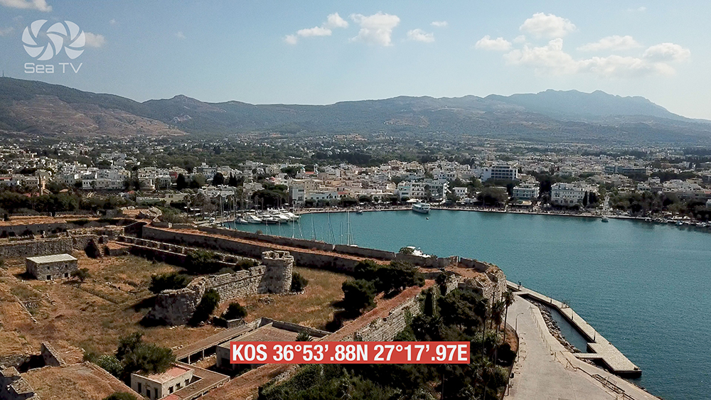
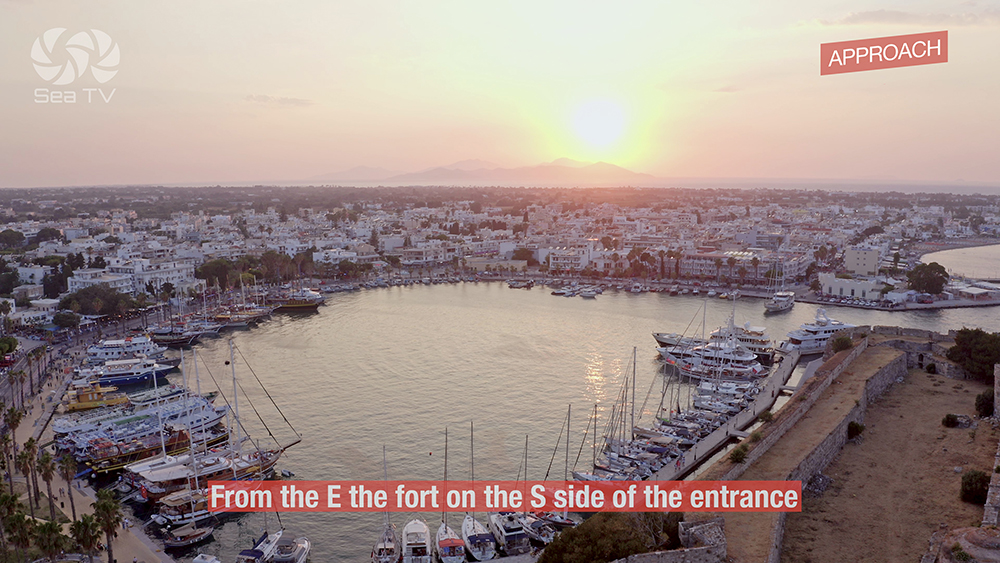
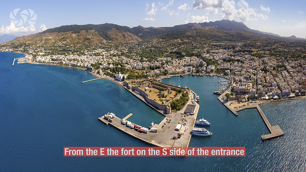
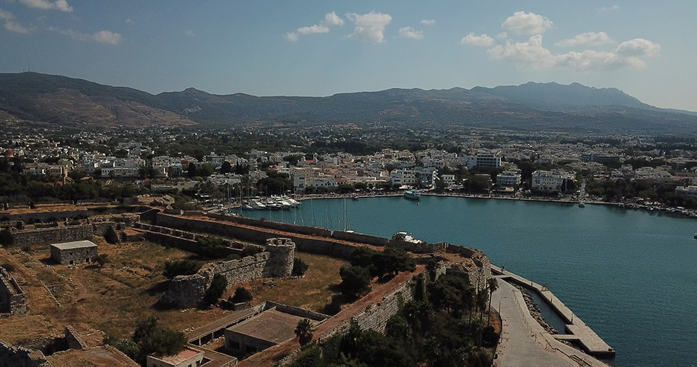
Position: Mandraki sits on the NE corner of Kos, facing N towards the Turkish Myndus Peninsula about 6 NM away across the strait. The harbour is pocketed inside the historic town, with the iconic Castle of the Knights (Neratzia) on the spit at the harbour entrance — the most distinctive visual landmark on approach.
⚠ Approach hazard #1 — Ak Ammoglossa shoals: When approaching Kos port, be aware of the shoals extending from Ak Ammoglossa (the headland just W of the harbour). These shoals reach offshore further than they look on a small-scale chart · plot the danger area on the chartplotter and give it sea-room.
⚠ Approach hazard #2 — Meltemi confused seas: When the Meltemi blows strongly (typically late June through early September), there are often confused seas off Ammoglossa — wind-against-current standing waves and chaotic short-period swell. Time the approach for early morning when Meltemi force is lower, or wait out a strong-Meltemi day at Kalymnos Port across the strait.
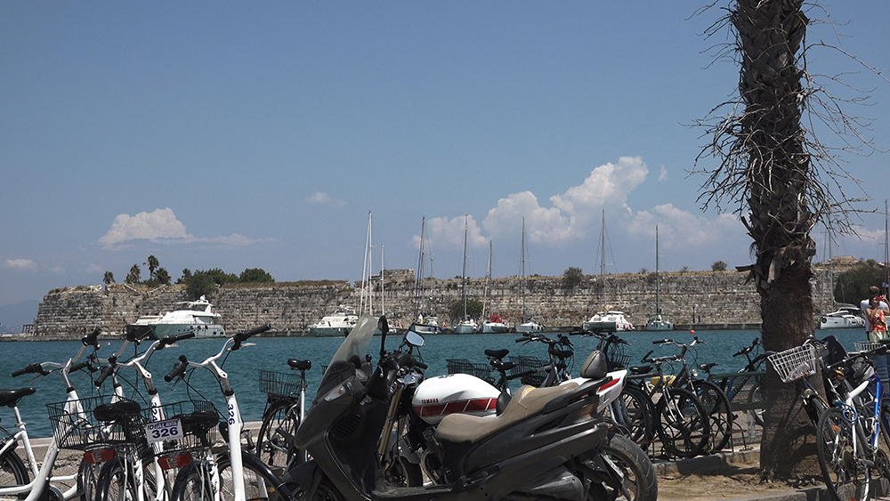
Visual landmarks: The Castle of the Knights (Neratzia) at the harbour mouth · the Defterdar Mosque minaret in the town · the modern hotels along the seafront · the long Mandraki seafront promenade.
Communication: Call Mandraki on VHF Ch 74 before entry · or phone +30 22420 23115 · they prefer advance booking.
⚓ Mooring at Mandraki
50 Berths · Max LOA 55m · Max Draft 4m · VHF Ch 74
Stern-to in the Capital Harbour
Mooring style: Stern-to where available · mooring lines at some berths (not all) · drop bow anchor where there’s no lazyline.
Berths: 50 · this is a proper harbour, not a tiny fishing port · accommodates a real charter fleet plus visiting yachts.
Max draft: 4 m · accommodates deeper-draft yachts than the typical Dodecanese small port.
Max LOA: 55 m · superyacht-capable.
Booking: Book in advance through Kos Marina or by calling +30 22420 23115. Walk-up berths are scarce in season.
Facilities: Water and electricity available · shops and restaurants all around the harbour quay.
⚠ Note: Mandraki is the central port right in the town · for the dedicated charter marina with pontoons and full superyacht services, ask about Kos Marina (a separate facility on the island) when booking · they may direct you to the marina if your yacht is large or the central harbour is full.
Kos Island Geographic Context
Position: Kos sits in the Gulf of Kos between the Myndus Peninsula (Turkey, to the N) and the Dorian Promontory (Turkey, to the S). The Turkish Bodrum Peninsula is just 4 NM N of Mandraki — Kos is one of the closest Greek islands to mainland Turkey.
Kos is the second-largest of the Dodecanese after Rhodes · 290 km² · longer than wide, oriented NE-SW. The capital and the main harbour sit on the NE coast at Kos Town.
Historic note: In ancient and medieval times, Kos was famous for its “Coae vestes” — prized silk dresses, lightweight and almost transparent · a Roman-era luxury good · Cicero wrote about them. The silk trade was one of Kos’s economic foundations alongside agriculture and shipping.
Kos Town — Walking Distance from the Harbour
Castle of the Knights — Neratzia
Right at the harbour entrance · the Castle of the Knights (locally Neratzia) was built by the Knights of St John in the 14th–15th centuries, when they ruled Kos and Rhodes (1309–1522). The fortress guarded the harbour against Ottoman attacks. The walls and bastions still stand impressively · open to visitors · the most-photographed landmark on the Kos waterfront.
Plane Tree of Hippocrates
Just inside the town, in Plateia Platanou (Plane Tree Square), stands the famous Hippocrates Plane Tree. Local legend says Hippocrates (~460–370 BC, the “Father of Medicine”) taught his students under this tree. Botanists put the tree’s actual age at around 500 years rather than 2,400 — but it remains one of the oldest plane trees in Europe and the legend is part of the cultural heritage. Worth the short walk from the harbour.
Asklepieion — Ancient Medical Sanctuary
About 2 km from the town centre · the Asklepieion (sometimes spelled Asclepieion) was the ancient sanctuary of Asklepios, the god of medicine, and one of the most significant healing centres of the classical Greek world. Built on three terraces on a hillside, with views back to Kos Town and across to Turkey. Hippocrates’s medical school operated here · the Hippocratic Oath that doctors still take today comes from this site. A taxi from the harbour, or a 30-minute walk if you have the energy.
Roman Mosaic & Ancient Sites
Kos Town has substantial archaeological remains in the Western Excavations area · Roman mosaic floors from the 3rd century AD survive in situ alongside Hellenistic and Roman building foundations. The Casa Romana (a partially reconstructed Roman house with mosaic floors) is open to visitors · the Archaeological Museum holds the moveable artefacts · the Odeon (Roman theatre) is also nearby.
Medieval Gate & Agia Paraskevi
The Medieval Gate (Porta del Mare) was the main fortified entrance to the old town under the Knights’ rule · the gateway and bridge survive · Greek and Latin inscriptions on the walls. The church of Agia Paraskevi nearby has a notable façade combining Byzantine and Italian-colonial elements. Both within easy walking distance of Mandraki.
Italian Colonial Architecture
Kos Town’s modern street layout, the major public buildings, and many of the early-20th-century houses date from the Italian colonial period (1912–1947) — when the Dodecanese was administered by Italy. The 1933 earthquake levelled much of the old town, and the Italians rebuilt on a planned grid with Mussolini-era public architecture. The Eleftherias Square area, the City Hall, and the broad seafront promenade are all Italian-period · gives Kos Town a distinctive character compared to most other Greek islands.
Beyond Kos Town — Where to Go by Car
All locations on Kos Island are SW of Kos Town — the rest of the island stretches away to the SW. Renting a car or moped for a day is a common Kos shore-stop activity:
→ Asklepieion · 2 km · the ancient medical sanctuary
→ Antimachia Castle · ~25 km SW · 14th-century Knights’ fortress on a hilltop · panoramic south-coast views (linked from Kardamena)
→ Tigaki & Marmari beaches · N coast · long sandy beaches with shallow water
→ Zia village · mountain village on Mount Dikeos · sunset views back over Kos Town and across to Turkey
→ Kefalos & the SW beaches · SW corner · the southern coast
Wind & Shelter
Meltemi (NW summer wind): The dominant Aegean wind from late June to early September · funnels through the Aegean and creates the confused seas off Ammoglossa described above. Mandraki itself is sheltered from the swell by the harbour breakwaters once you’re inside · the approach is the challenging part.
Sirocco (S/SE): Less common · brings hot dry air from N Africa · winter risk · move to Kalymnos if a serious Sirocco is forecast.
Best season: May–early July and September–October are the quality windows · long daylight, settled weather, manageable Meltemi. August has the strongest Meltemi and the most crowded harbour.
Pro Tips for Mandraki Kos
Plot the Ammoglossa shoals. The shoals extend further than they look on small-scale charts · give them sea-room · approach from the N or NE rather than tight along the headland.
Time your approach for the morning. Meltemi force is typically lower in the morning · the confused seas off Ammoglossa are most uncomfortable in the afternoon when wind has built. Plan for an 11:00–13:00 arrival, not a late-afternoon one.
Reserve in advance. 50 berths fills fast in summer · phone +30 22420 23115 or VHF Ch 74 from a day or two out. Walk-up berths are unreliable.
Visit the Asklepieion early. 2 km from town · taxi or rental moped · go before 10:00 to beat the heat and the cruise-ship-tour groups. The site is at its best in morning light.
Walk the harbour-front in the evening. The Castle of the Knights lit up at night is the iconic Kos image · the Mandraki promenade is lined with cafés and tavernas · Kos Town’s social life happens here after sunset.
Rent a car for a day-trip. Kos is bigger than it looks · the entire island stretches SW from Kos Town · car or moped lets you cover the Asklepieion, Antimachia Castle, Zia mountain village, and the south-coast beaches in one shore day.
Use Mandraki for charter handover. Kos international airport (KGS) is ~25 km away by road · regular taxi service · easy crew rotation. For a south-coast handover use Kardamena instead (10 min from airport).
Stock up here for the southern Dodecanese. Kos Town has the best provisioning between Rhodes and the smaller Dodecanese · supermarkets, hardware stores, chandlery, and yacht services all in walking distance of the harbour.
Accept the noise — it’s the trade-off. Mandraki is loud · summer nights especially · this is the price for the central location. If you need a quiet evening, sail across to Kalymnos or up to Leros · Kos Town is for the buzzing-city night.
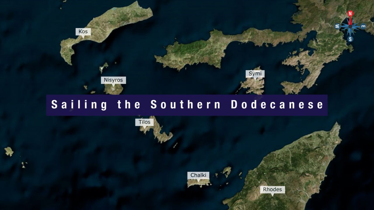
Routes from Mandraki Kos
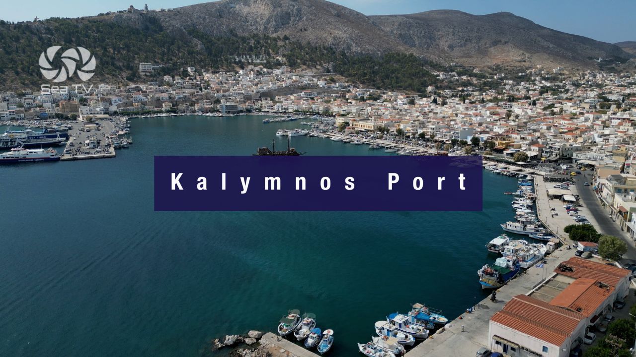
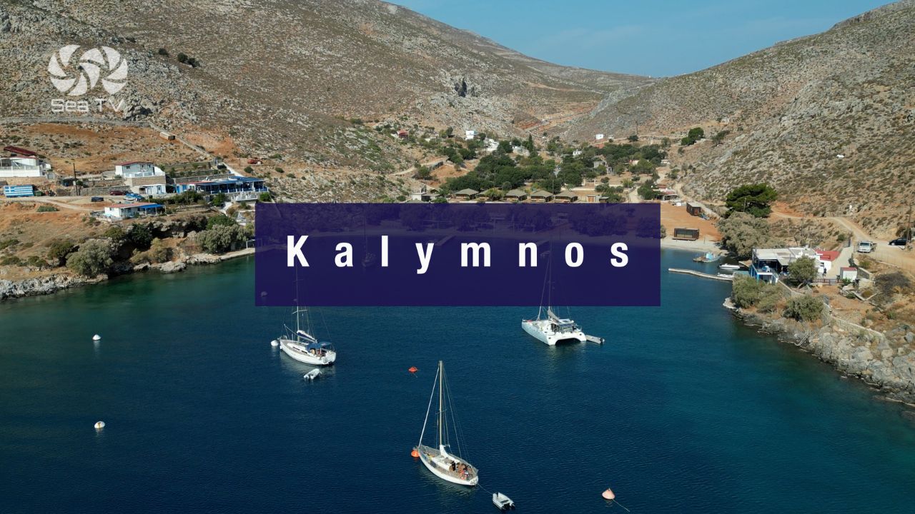
W to Kalymnos: ~6 NM W across the strait · the sponge-diver island. See Kalymnos Island · Kalymnos Port.
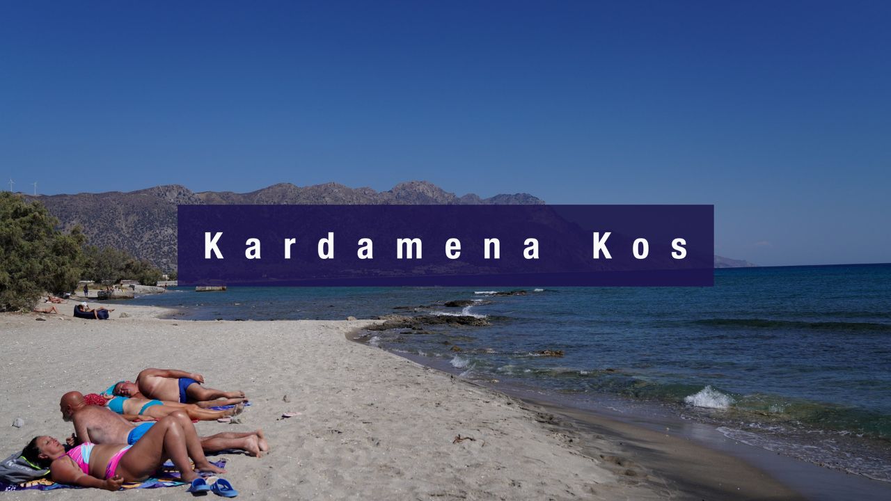
S around Kos to Kardamena: ~25 NM around the island’s eastern tip · resort beach + Nisyros ferry + airport-proximity advantage. See Kardamena.
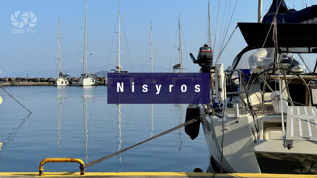
SW to Nisyros: ~30 NM SW · active volcano. See Nisyros Island.
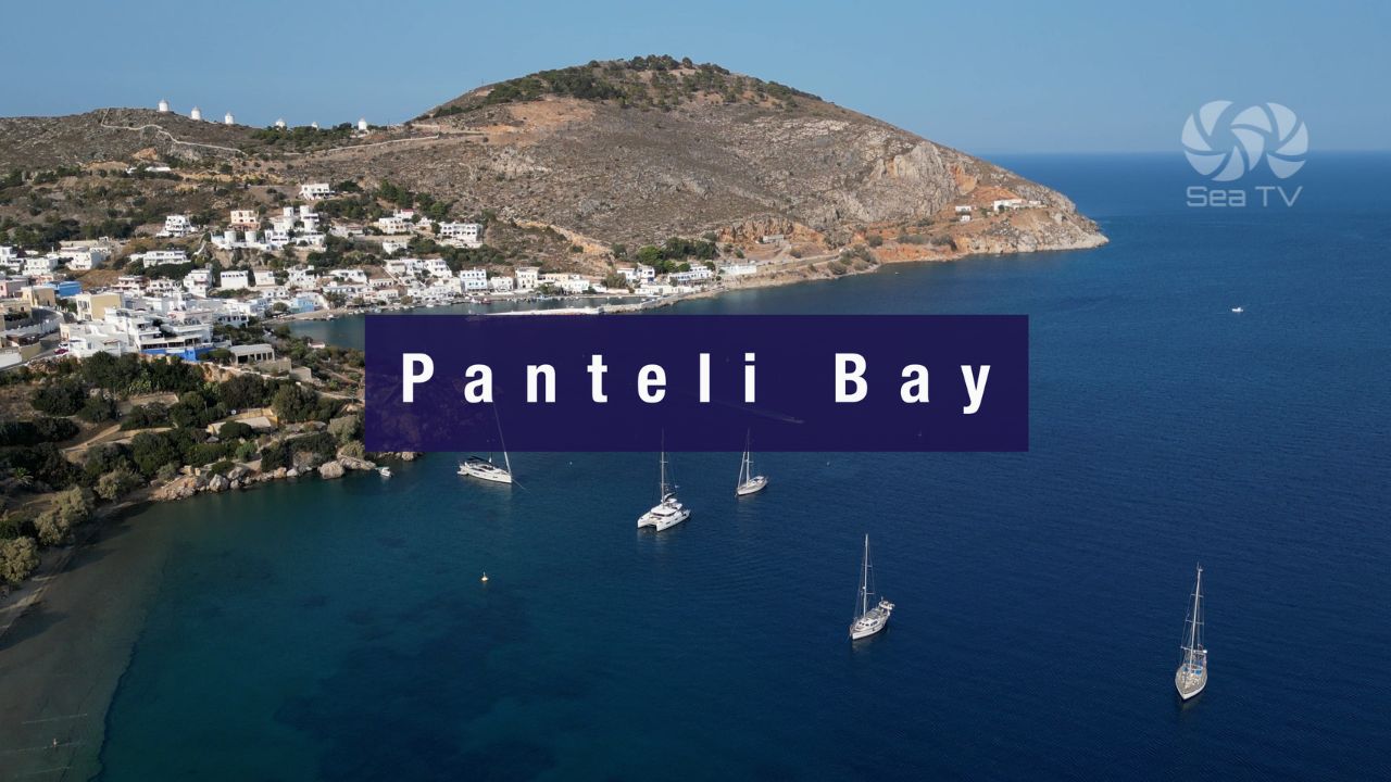
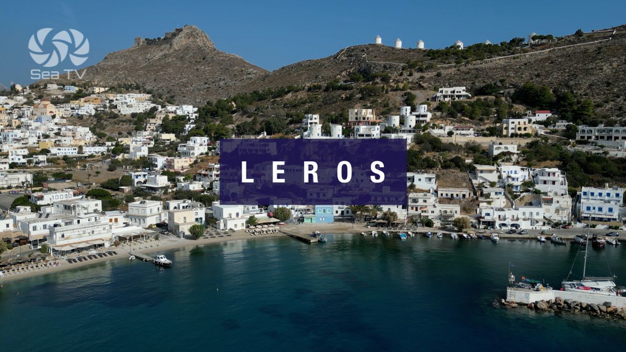
N to Leros: ~25 NM N · the Italian-naval-history island. See Leros Island · Panteli Bay.
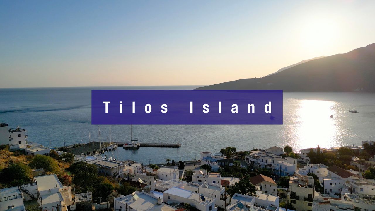
SE to Tilos: ~30 NM SE · quiet protected island. See Tilos Island.
SE further to Symi & Rhodes: ~50–80 NM · the southern Dodecanese. See Symi · Rhodes.
Dodecanese full route: See Dodecanese — Our Route.
✅ Sailor’s Checklist for Mandraki
▢ Reservation made (+30 22420 23115 or VHF Ch 74)
▢ Ak Ammoglossa shoals plotted on chartplotter
▢ Meltemi forecast checked (avoid afternoon arrival in strong-Meltemi week)
▢ Castle of the Knights identified as visual landmark
▢ Draft confirmed against 4 m harbour depth
▢ Stern-to gear ready (mooring lines on some berths, anchor on others)
▢ Provisioning list ready (Kos Town has the best stocking on the route)
▢ Asklepieion / Castle / Plane Tree day-tour planned
▢ VHF on Ch. 16 throughout
Emergency & Service Numbers — Mandraki / Kos
European Emergency: 112
Greek Coastguard: 108
Coastguard Distress (VHF Ch. 16): Universal
Mandraki Harbour Office: +30 22420 23115 · VHF Ch 74
Kos Port Authority: +30 22420 26594
Watch the SeaTV Visual Pilot Video
Drone passes the Mandraki harbour entrance with the 14th-century Knights’ Castle on the spit, the long Mandraki seafront promenade, the 50-berth main quay layout with stern-to mooring positions, the Ak Ammoglossa headland and shoals to the W, and the visible-from-aerial Italian-colonial street grid of Kos Town behind the harbour. Free for members.
Related SeaTV Pages
Kos Island
→ Kardamena Kos · south-coast resort + Nisyros ferry + airport-proximity
North to Kalymnos & Leros
Berthing at Mandraki?
50 berths · max LOA 55 m · 14th-century Knights’ Castle at the entrance · Hippocrates’s Plane Tree, the Asklepieion, and Italian-colonial Kos Town all in walking distance · book ahead and time the Ammoglossa approach for morning Meltemi.
→ Kardamena south coast · Kalymnos W · Nisyros volcano SW · Dodecanese route
“Mandraki is the capital harbour of Kos and the practical centre of the central Dodecanese — fifty berths in the heart of the town, the 14th-century Knights of St John castle guarding the harbour entrance, the Plane Tree where legend says Hippocrates taught his students, the Asklepieion medical sanctuary on the hillside two kilometres away, and the Italian-colonial street grid that the 1933 earthquake forced the city to rebuild on. Plot the Ammoglossa shoals, time the approach for morning Meltemi, accept the noise as the trade-off for the central location, and Mandraki opens up as the most-used Dodecanese harbour after Rhodes itself.”
— SeaTV Visual Pilot · Dodecanese Edition