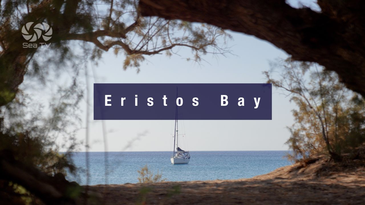
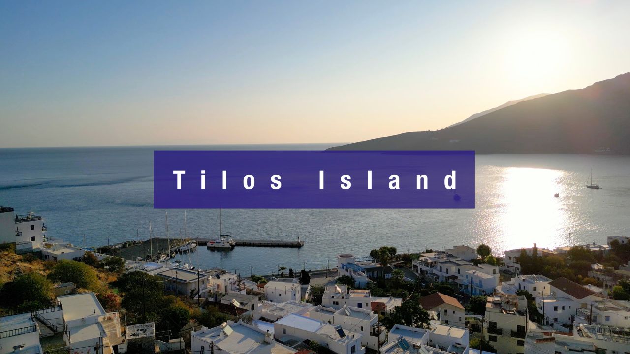
SeaTV · Greece · Dodecanese Islands · Eristos Bay (Tilos)
Eristos Bay (Tilos) — Sandy Beach Anchorage on Greece’s Renewable-Energy Island
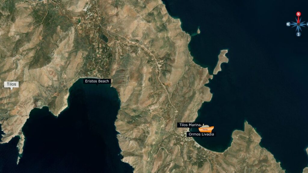
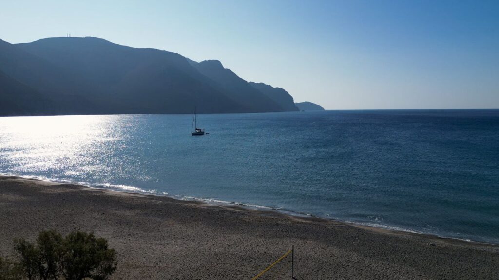
A serene, quiet, faraway sandy beach on the south side of Tilos — 3 km south of the island capital Megalo Chorio. Crystal-clear water, sandy bottom anchoring in 3-5 m, and a small shore-side cafe with toilets. Some Meltemi shelter but the bay generates swell and gusts when winds are up. The wider island of Tilos is a quiet wildlife refuge that became the first Mediterranean island to run on 100% renewable energy in 2019 — and where prehistoric dwarf elephant fossils were discovered in the 1970s.
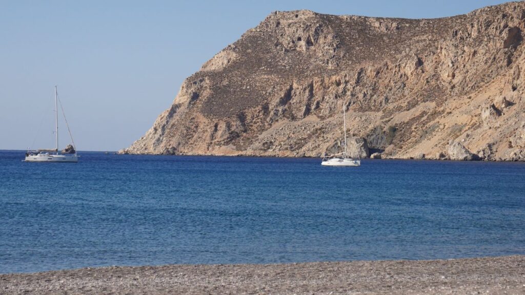
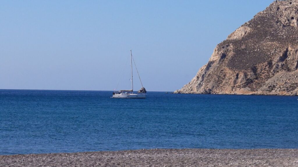
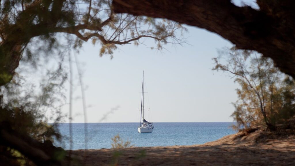
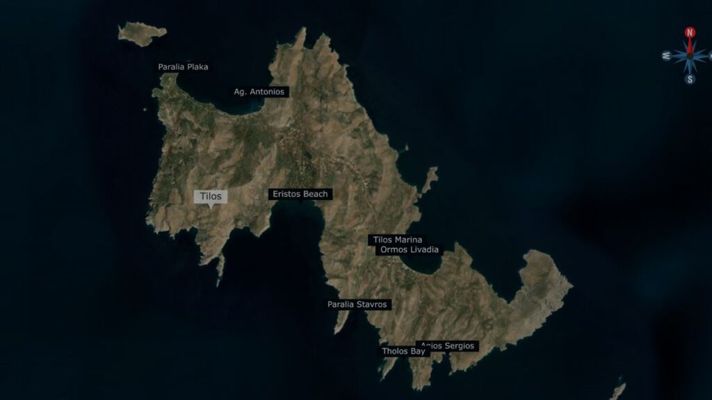
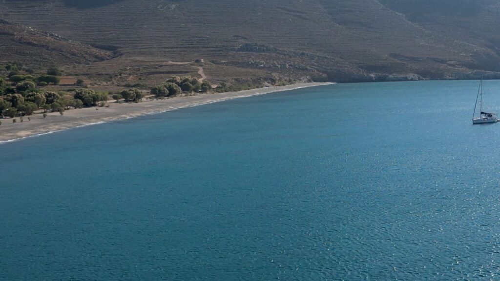
Eristos Bay is a large bay on the south coast of Tilos — one of the smallest, quietest, and most environmentally distinctive of the Dodecanese islands. The bay sits about 3 km south of Megalo Chorio (“Big Village”), the island capital, and offers a long sandy beach with crystal-clear water, easy sand-bottom anchoring, and a refreshingly undeveloped shoreline with just a small cafe and basic facilities. This is the bay you head for when you want isolation rather than nightlife — and Tilos itself is the island you visit when you want to see what a 100% renewable-energy Greek island feels like.
⚠ Reality check:
→ Some Meltemi shelter but swell & gusts dominate when strong winds blow
→ South-facing bay · open to S winds
→ Limited facilities · small cafe + toilets · no marina services
→ Campers ashore in summer · the bay is popular with land-side campers
→ No nearby provisioning · shop at Megalo Chorio (3 km N) or Livadia port
⚓ Quick Facts
Position
36°25′.83N · 27°20′.98E
Setting
Large south-coast bay · sandy beach
Anchor depth
3-5 m · sand bottom
Water
Crystal clear
Distance to capital
3 km N to Megalo Chorio
Shelter
Some · open S
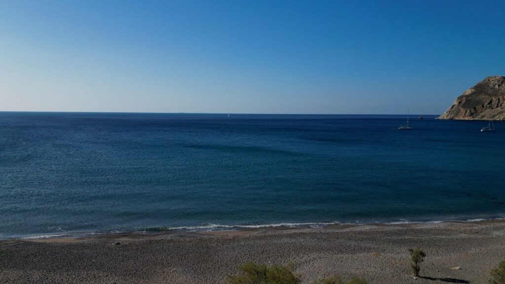
⚓ Anchoring at Eristos Bay
Position · 36°25′.83N · 27°20′.98E · Sand · 3-5m
Sandy-Bottom Anchorage on the South Coast
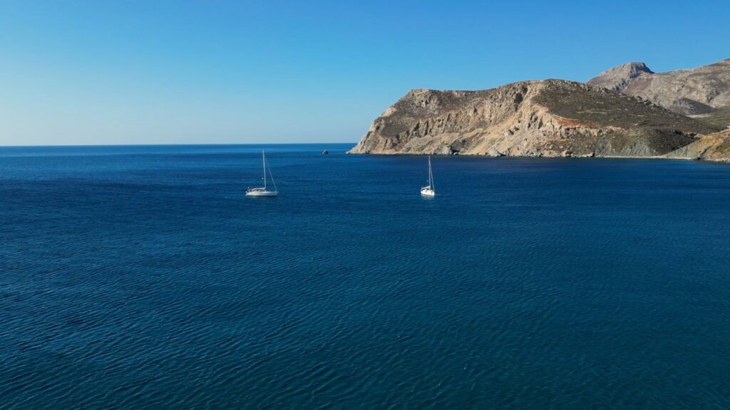
Position: Large bay on the south side of Tilos · open to the S · the cliffs and hills behind give some break from the prevailing N–NW Meltemi.
Depths: Anchor in 3–5 m · the bay shelves gently from the long sandy beach.
Bottom: Sand · easy holding for the anchor · clear of major weed patches.
Water quality: Crystal clear · the main attraction · sandy bottom + clean clear water = excellent visibility for swimming.
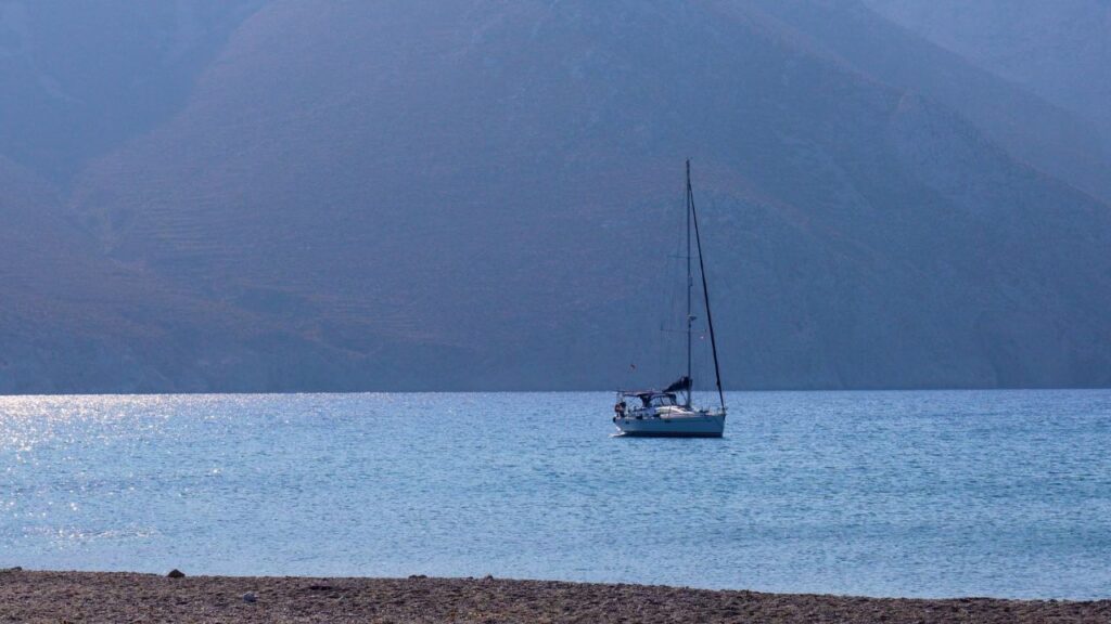
⚠ Wind reality: Even with the partial Meltemi shelter, swell and gusts dominate the bay when strong winds blow. SeaTV’s own visit was on a 25-knot day with few yachts in the bay · in calm weather it’s an entirely different stop.
⚠ South-facing: Any S wind component sends waves directly into the bay · move on or move to Livadia (the main island port) if a southerly is forecast.
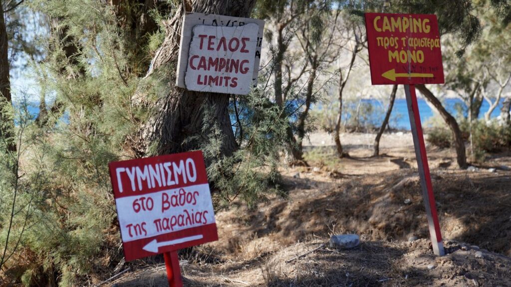
Shore Facilities at Eristos
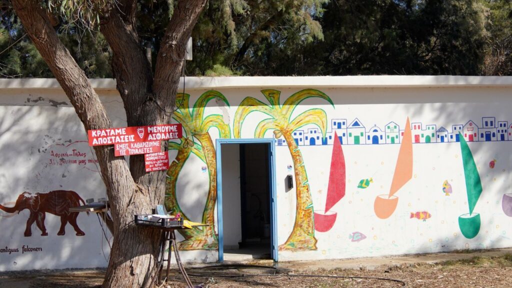
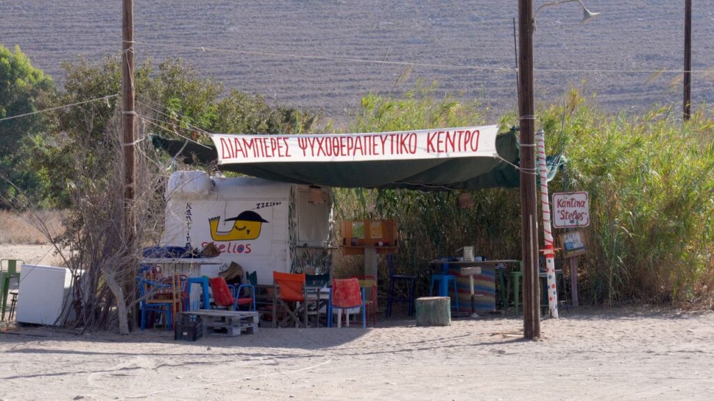
A small cafe on shore · basic refreshments · settled-summer-day pleasure rather than a destination meal.
Toilets on shore · basic but available.
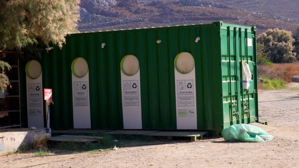
Garbage disposal on shore · use it · keep the beach clean (Tilos is environmentally protected · don’t be the yacht crew that leaves rubbish).
Campers in summer: The beach is popular with land-side campers from Megalo Chorio and visitors who arrive overland · expect to share the beach in July-August · still quiet by Greek-island standards but not entirely isolated.
Provisioning: No reprovisioning at Eristos · stock up at Livadia (main port) before sailing here, or take a 3 km walk N to Megalo Chorio for a small village shop.
Tilos Context — A Genuinely Unusual Greek Island
100% Renewable Energy — A Mediterranean First
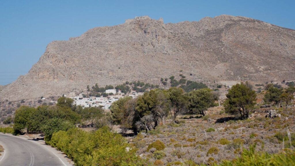
In 2019, Tilos became the first Mediterranean island to run on 100% renewable energy — using a combination of wind turbines, solar panels, and battery storage developed under the EU-funded TILOS project. The island still maintains a connection to the regional grid as backup, but for most of the year its electricity comes entirely from local renewables. For an island of ~750 inhabitants, this is a remarkable achievement and Tilos has become a reference case for island sustainability across Europe. The wind turbine on the hilltop is visible from sea on approach.
The Dwarf Elephants of Charkadio Cave
In 1971, archaeologists discovered fossilised remains of dwarf elephants (Palaeoloxodon tiliensis) in the Charkadio Cave on Tilos. These prehistoric pygmy elephants — about 1.6 m tall at the shoulder, the size of a large pony — lived on the island until approximately 4,000 BC, when they went extinct. They were the descendants of mainland mammoths that became isolated on the island when sea levels rose, and underwent insular dwarfism over many generations. The discovery was sensational at the time · the cave and a small Tilos museum (in Megalo Chorio) display the finds and explain the story. A short drive or walk from the island capital · the most distinctive cultural visit on Tilos.
Wildlife Refuge — A Protected Aegean Habitat
Tilos is one of Greece’s most important wildlife refuges · the entire island is part of the Natura 2000 European protected-area network. Significant populations of Eleonora’s falcons nest on the island cliffs · Bonelli’s eagles, several owl species, and migratory birds use the island as a stopover. Hunting is banned across the island. The combination of small population, low development, and active conservation has kept Tilos one of the most ecologically intact Aegean islands.
Megalo Chorio — The Capital “Big Village”
3 km N of Eristos Bay sits Megalo Chorio (“Big Village”), the island capital. Despite the name, it’s small — a few hundred residents, whitewashed houses on a hillside, a Byzantine church, and the remains of a Knights of St John castle on the hill above. The village pre-Megalo medieval site of Mikro Chorio (“Small Village”) is on a neighbouring hill — abandoned in the 1960s when residents moved closer to the harbour, and now an atmospheric ruin worth the walk if you have time ashore. The Tilos archaeological museum (with the dwarf elephant fossils) is in Megalo Chorio.
7 Castles & Byzantine Churches
Tilos has seven Knights of St John castles scattered across the island — built between the 14th and 16th centuries when the Knights ruled the Dodecanese — plus numerous small Byzantine churches and chapels. The strategic position close to the Turkish coast made the island an important Knights’ outpost · most of the castles are now ruins but several are accessible by hill walk. The combination of Knights’ fortifications, Byzantine churches, the dwarf elephant cave, and the wind farm gives Tilos an unusually layered cultural landscape for an island of its size.
Wind Strategy at Eristos
Meltemi (NW summer): Eristos gets some shelter from the cliffs to the N · but strong Meltemi brings swell and gusts into the bay. SeaTV’s own visit was on a 25-knot day · few yachts present · the bay was workable but not comfortable. In light Meltemi (~10-15 knots) it’s pleasant.
⚠ S winds: The bay is open to the south · any southerly sends waves directly into the anchorage · move to Livadia port on the E coast for southerly shelter.
Best season: May-October · September is the quality peak (settled weather, fewer crowds, cleaner sailing). August has the strongest Meltemi and the most campers ashore.
Best for: Settled-weather day stop or quiet overnight in light winds · the swimming-and-isolation experience · access to the inland-Tilos cultural visits.
When to Use Eristos Bay
Best for: Settled-weather sandy-beach swim stop · isolation seekers · clear-water swimming · combination with a 3 km walk inland to Megalo Chorio for the dwarf elephant museum and Knights’ castle.
Pair with Tilos Island stop: Use Livadia port (E coast) for berthing + provisioning · Eristos for an afternoon swim · combine into a full Tilos day.
Avoid when: Strong Meltemi (25+ knots — uncomfortable, swell + gusts) · any S wind component (waves into the bay) · winter conditions · if you want shore amenities or nightlife (use Livadia port instead).
Pro Tips for Eristos Bay
Check the wind forecast carefully. 25-knot Meltemi turns Eristos into a workable-but-not-comfortable stop · light Meltemi makes it idyllic · plan your day around the forecast.
Walk inland to Megalo Chorio. 3 km N · the island capital with the Knights’ castle on the hilltop and the Tilos archaeological museum (dwarf elephants!) · the most distinctive cultural visit on Tilos.
See the Charkadio Cave. The dwarf elephant fossil site · a short distance inland from Megalo Chorio · take a tour or visit on your own · one of the most unusual cultural sites in the Aegean.
Watch for Eleonora’s falcons. The Tilos cliffs are an important nesting site · in summer (May-October) you may see falcons hunting over the bay or the surrounding hills · binoculars worthwhile.
Use the shore garbage disposal. Tilos is a wildlife refuge and an environmentally model island · keep the beach clean · use the bin and don’t leave rubbish ashore.
Provision before arrival. No serious shop at Eristos · the small cafe is for snacks only · stock up at Livadia port or at one of the larger Dodecanese stops (Kos, Rhodes) before sailing for Tilos.
Pair with abandoned Mikro Chorio. The 1960s-abandoned medieval village on the next hill from Megalo Chorio · atmospheric ruin · easy walk · Tilos’s most evocative cultural site after the dwarf elephants.
Move to Livadia in bad weather. Eristos is open S · Livadia port on the E coast offers more shelter and proper berthing · short sail around the island.
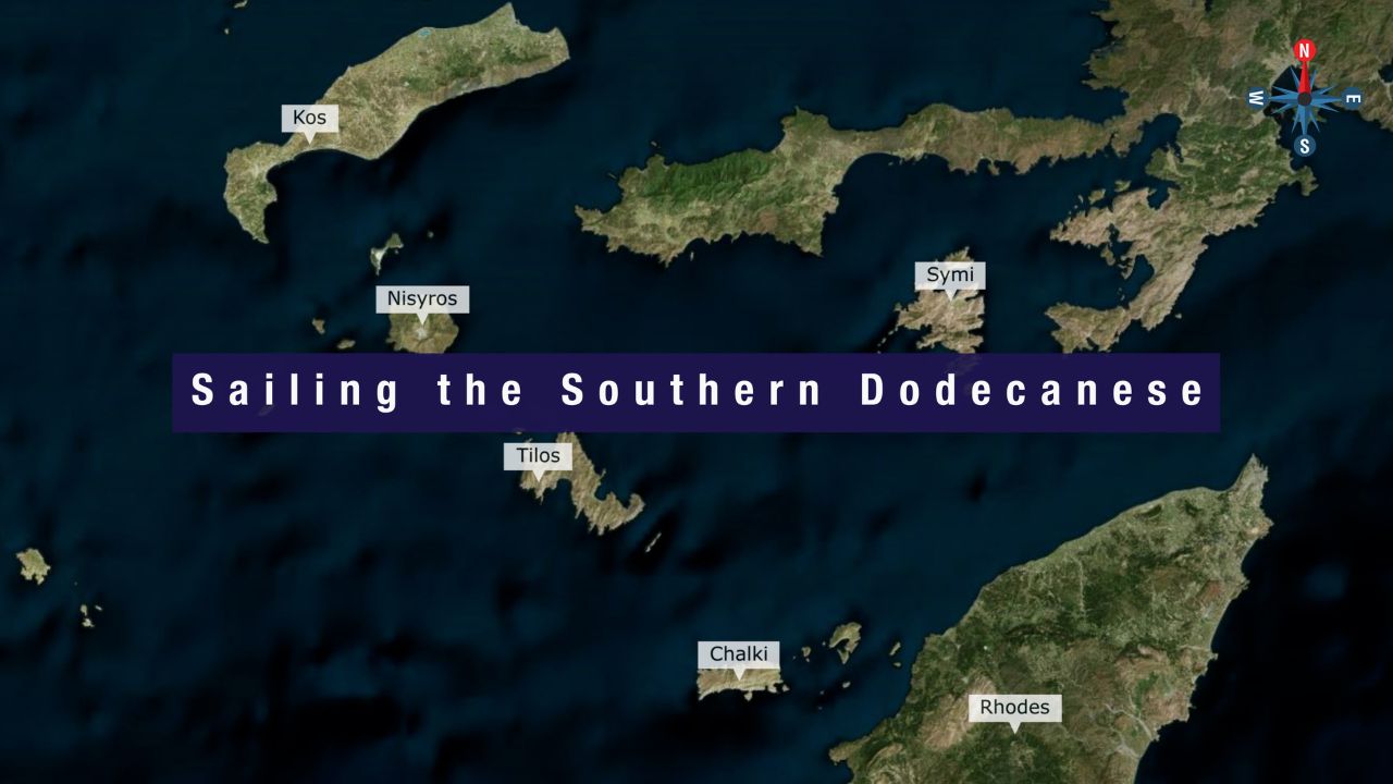
Routes from Eristos / Tilos
Around to Livadia (main port): Short sail around the E side · main island port + town. See Tilos Island — overview.
NW to Nisyros volcano: ~10-15 NM NW · active volcano + Stefanos Crater. See Nisyros Island.
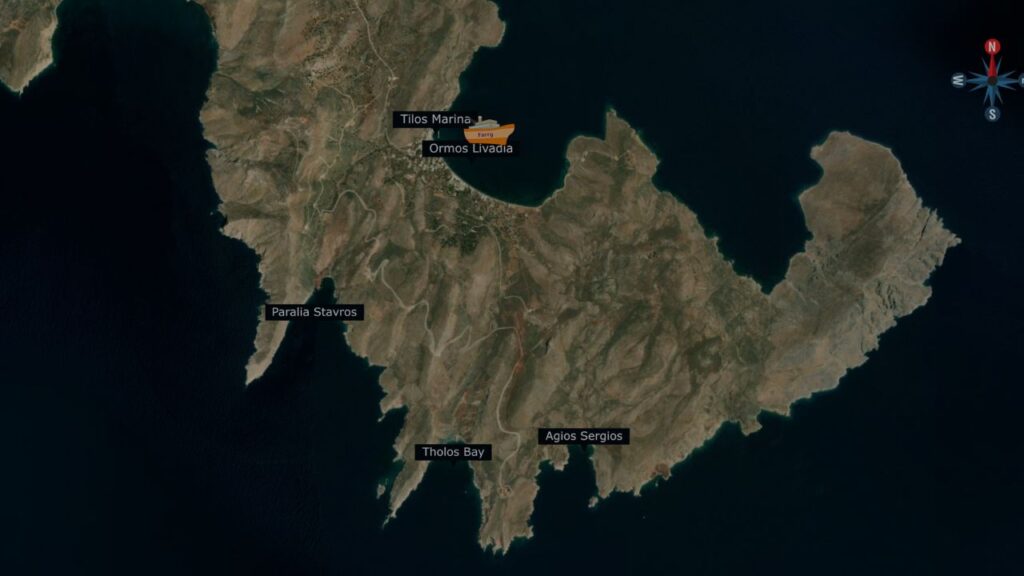
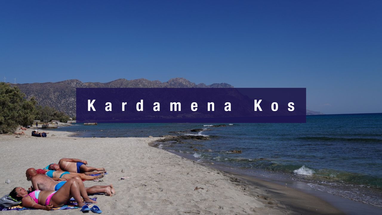
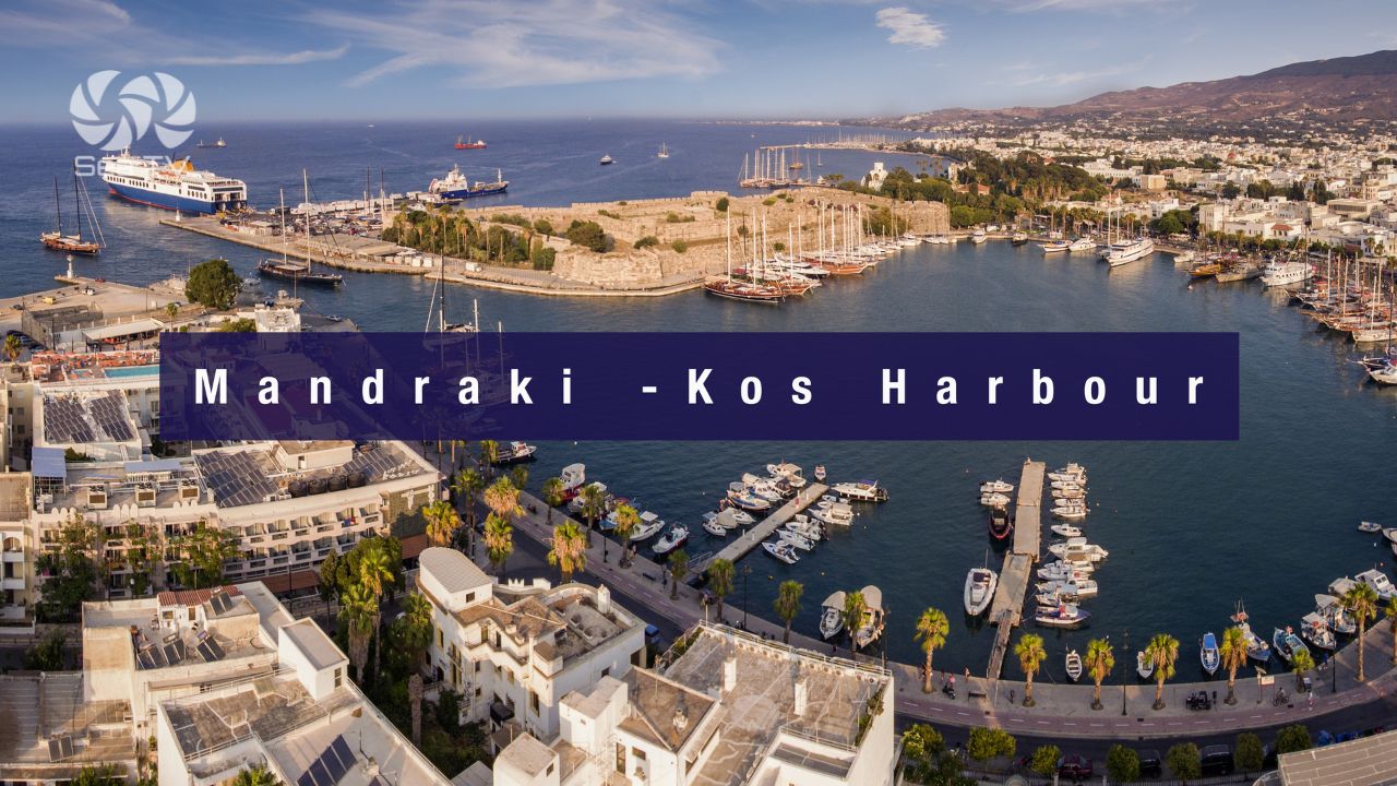
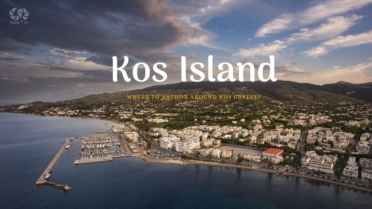
N to Kos: ~30 NM N · main Dodecanese harbours. See Mandraki Kos Harbour · Kardamena.
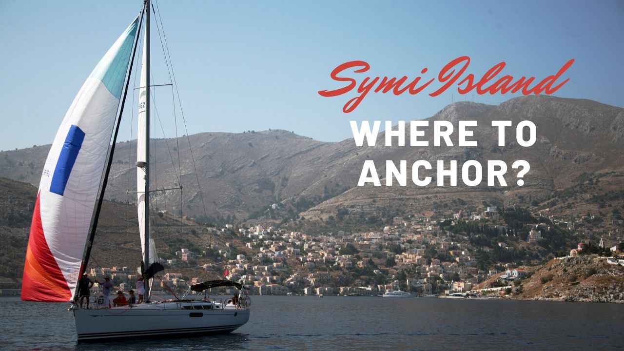
SE to Symi: ~20 NM SE · the Italian-colonial neoclassical port town. See Symi Island.
SE further to Rhodes: ~40 NM SE · the Dodecanese hub. See Rhodes.
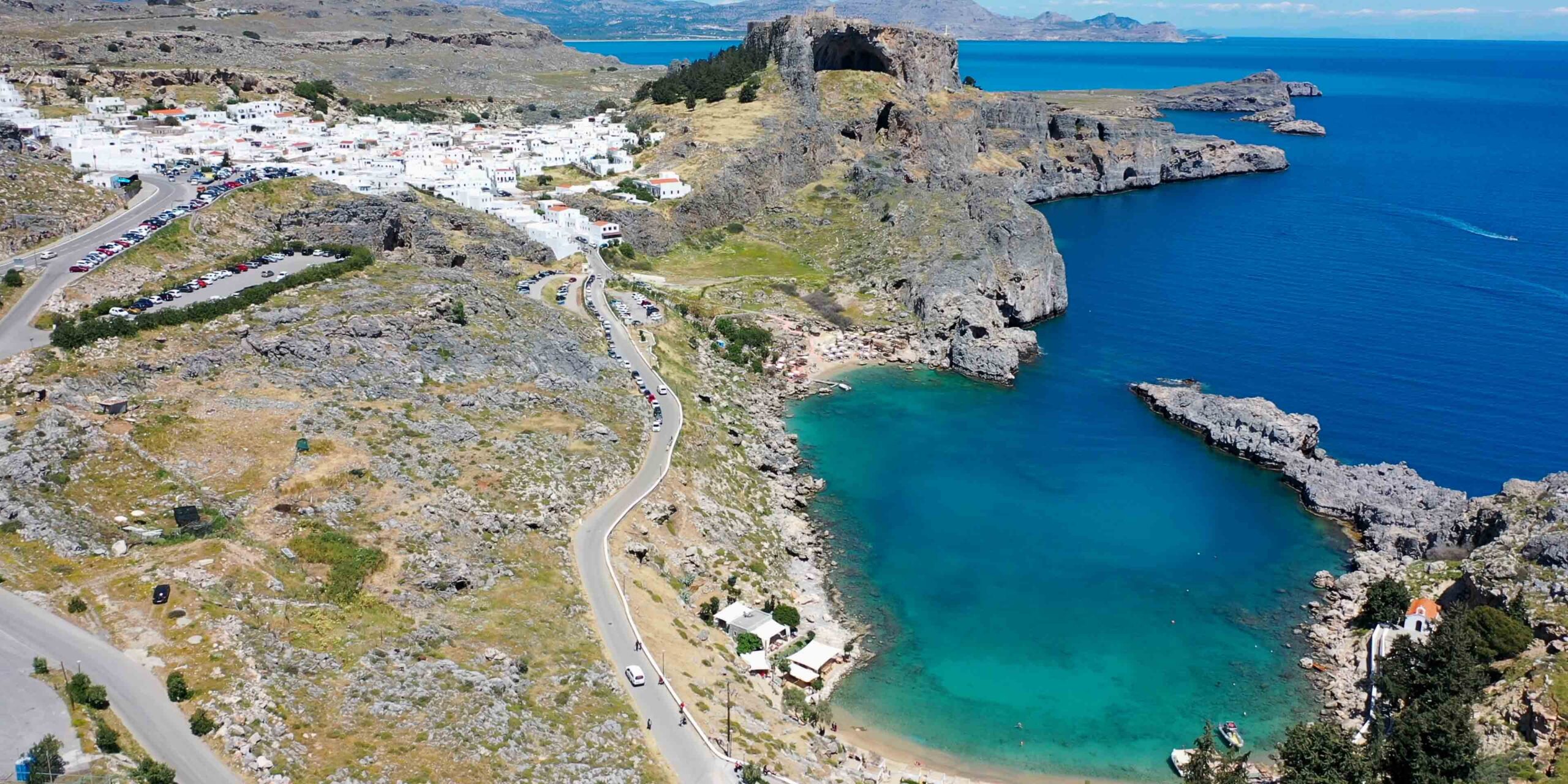
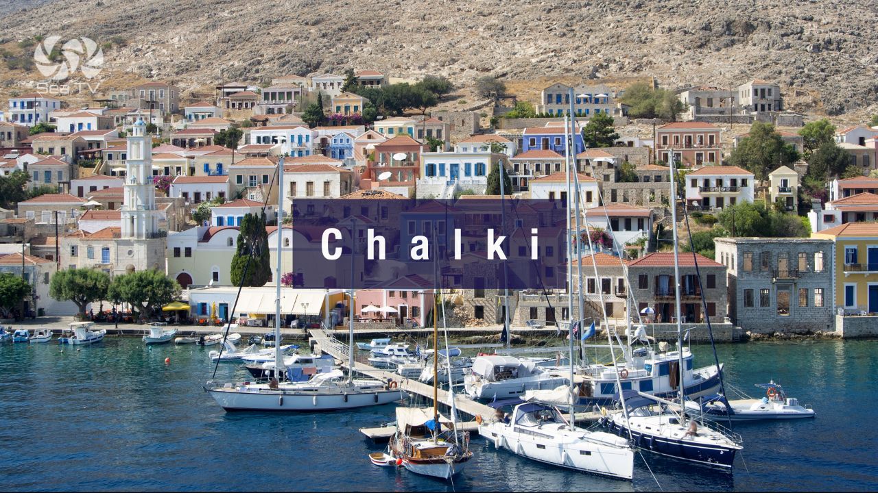
W to Chalki: ~25 NM W · quiet protected island. See Chalki.
Dodecanese full route: See Dodecanese — Our Route.
✅ Sailor’s Checklist for Eristos Bay
▢ Wind forecast checked (avoid 25+ knot Meltemi, any S wind)
▢ Backup plan ready (Livadia port for shelter)
▢ Provisioning done before arrival (Livadia or larger Dodecanese stops)
▢ Anchor + scope ready for sand-bottom 3-5 m
▢ Megalo Chorio walk planned (3 km N · Knights’ castle + dwarf elephant museum)
▢ Charkadio Cave + Mikro Chorio visit considered
▢ Binoculars ready for Eleonora’s falcons
▢ VHF on Ch. 16 throughout
Emergency Numbers — Tilos
European Emergency: 112
Greek Coastguard: 108
Coastguard Distress (VHF Ch. 16): Universal
Tilos Port Authority (Livadia): +30 22460 44350
Watch the SeaTV Visual Pilot Video
Drone passes the long sandy beach at Eristos, the clear-water sand-bottom anchorage area, the cliffs and hills behind giving partial Meltemi shelter, the inland road toward Megalo Chorio with its Knights’ castle on the hilltop, and the wind turbine on the ridge that powers the entire island. Free for members.
Related SeaTV Pages
Tilos Island
→ Tilos Island — overview · main port Livadia + island context
Northwest to Nisyros & Kos
→ Nisyros Island · active volcano
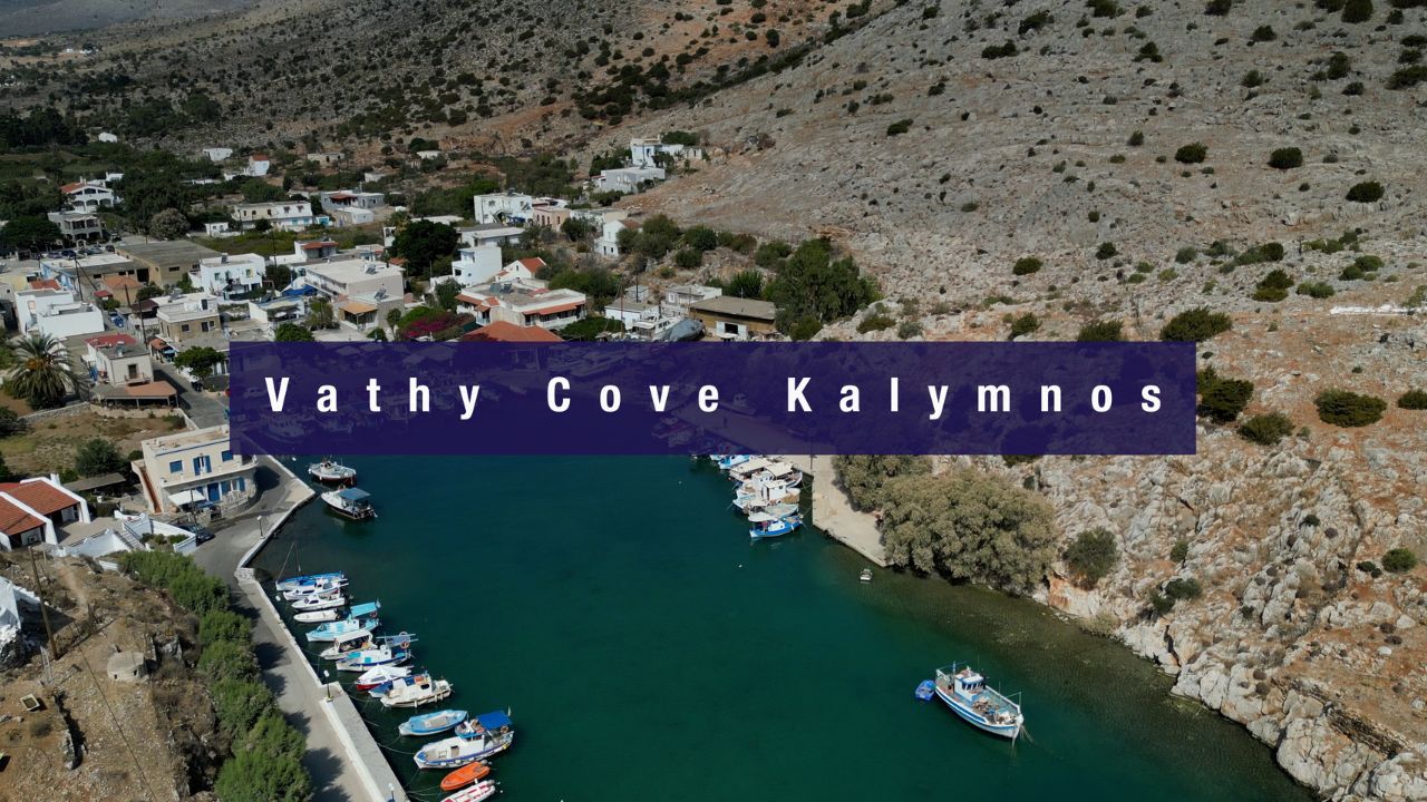
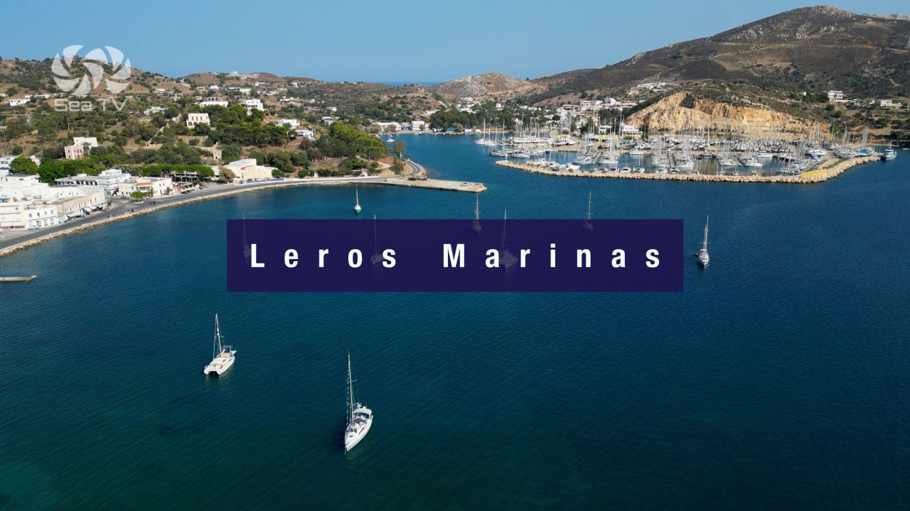
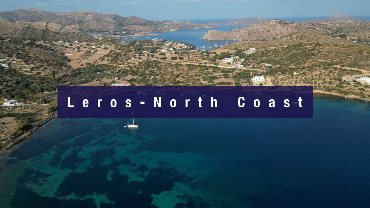
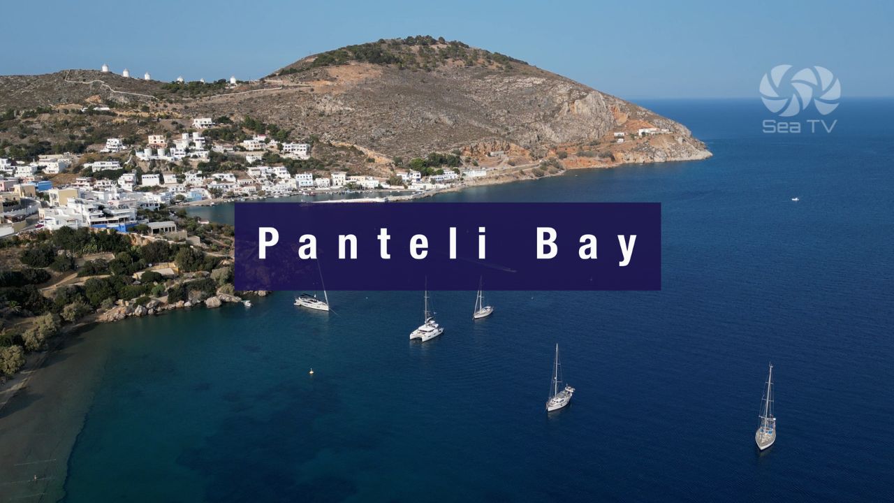
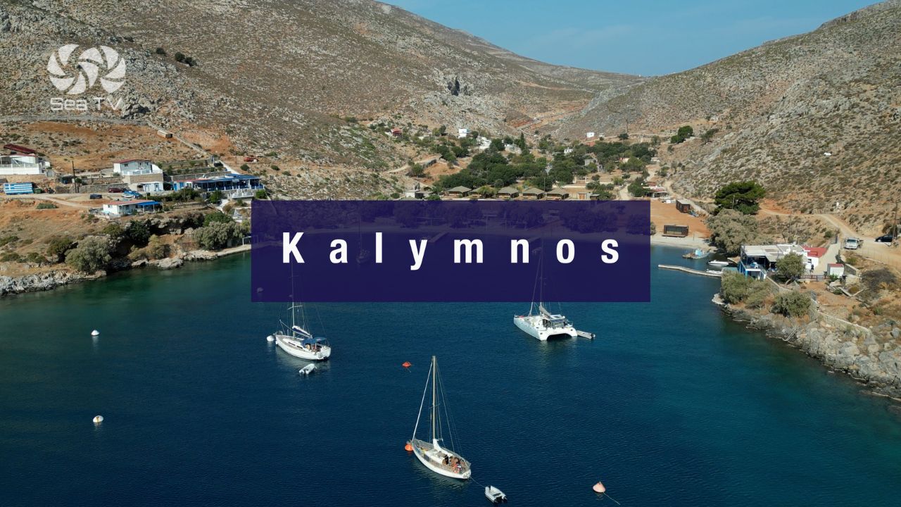
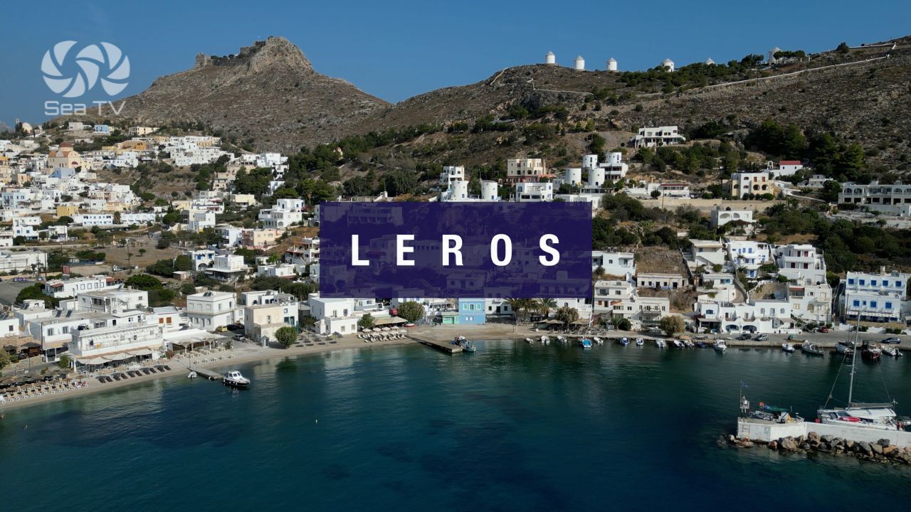
North to Kalymnos · Leros
Anchoring at Eristos?
Sandy beach · clear water · 3-5 m sand bottom · 3 km from the capital + Knights’ castle + dwarf elephant museum · the island that runs on 100% renewable energy.
“Eristos is the long sandy bay on the south coast of Tilos — clear-water swimming on a sand bottom in three to five metres, a small cafe and toilets ashore, and three kilometres’ walk inland to the island capital with its Knights of St John castle on the hilltop and the museum that holds the prehistoric dwarf elephant fossils discovered in the cave nearby. The wider island runs on 100% renewable energy from the wind turbine you can see on the ridge above. Watch the wind, settle in for the swimming, walk the road inland, and Eristos opens up as the most distinctive sandy-anchorage stop in the southern Dodecanese.”
— SeaTV Visual Pilot · Dodecanese Edition