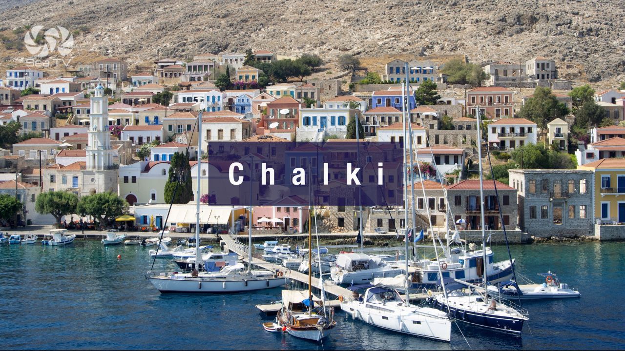
SeaTV · Greece · Dodecanese Islands · Chalki
Chalki Island — Italian-Era Neoclassical Village, 5 NM West of Rhodes & the Smaller Symi
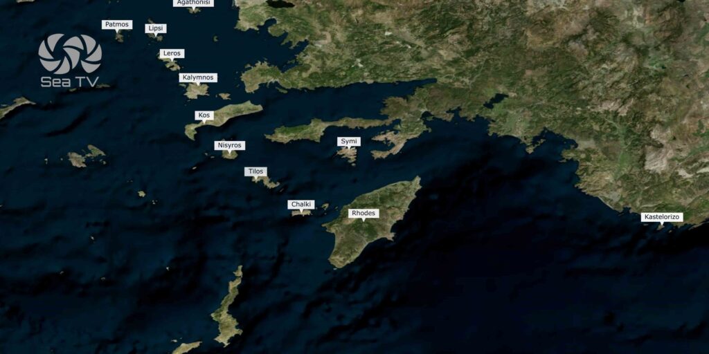
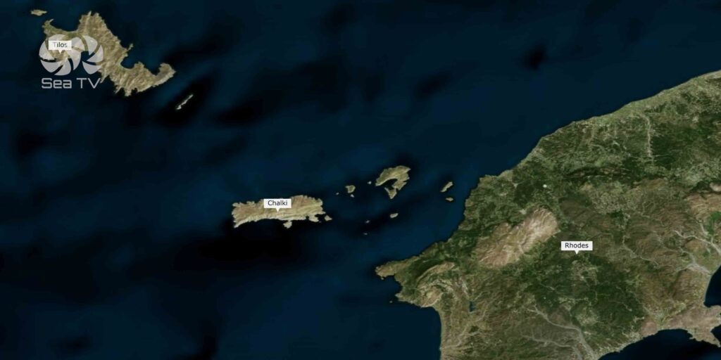
36°13′.33N · 27°36′.87E · approximately 5 NM west of Rhodes. A small island (~28 km², ~330 residents) with a single neoclassical port village (Nimborio / Emporeio) that has the smaller, quieter cousin of Symi’s character. Sheltered from SW winds; the prevailing W and N winds bring strong squalls and easterlies create swell. ⚠ Submarine cables S and NE — anchorage and fishing prohibited up to 180 m from both sides. Donkey transport, abandoned medieval Chorio with Knights’ castle, Pondamos sandy beach.
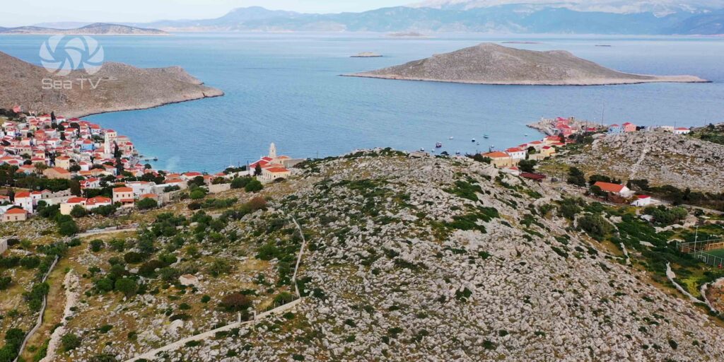
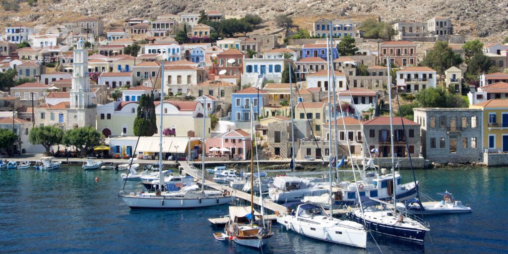
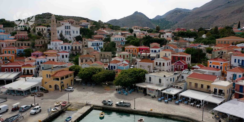
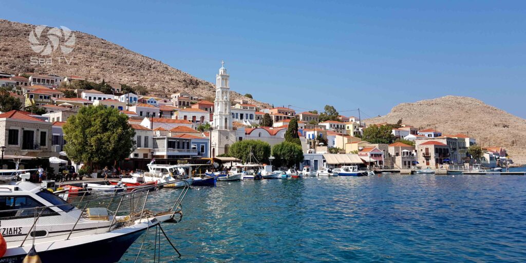
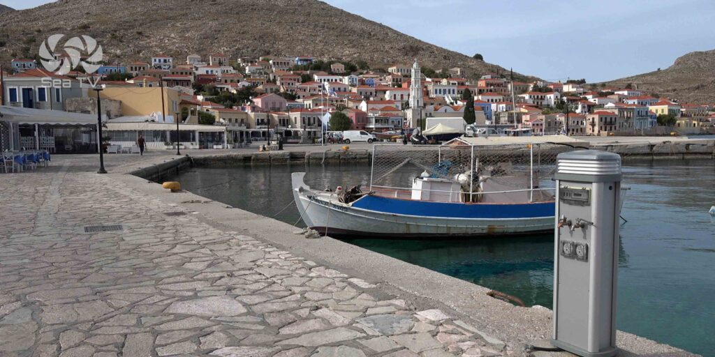
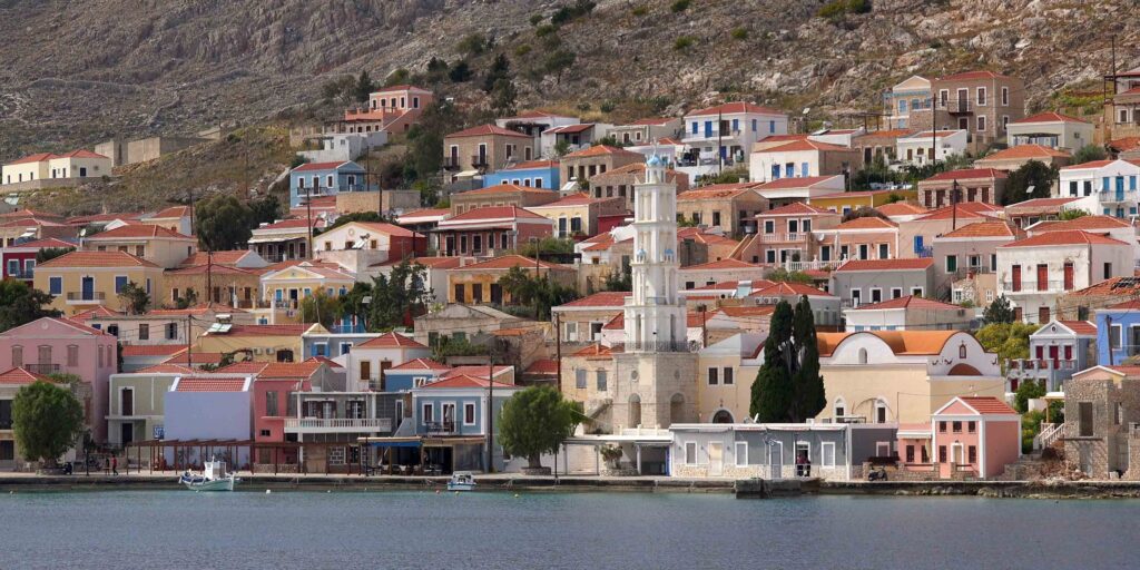
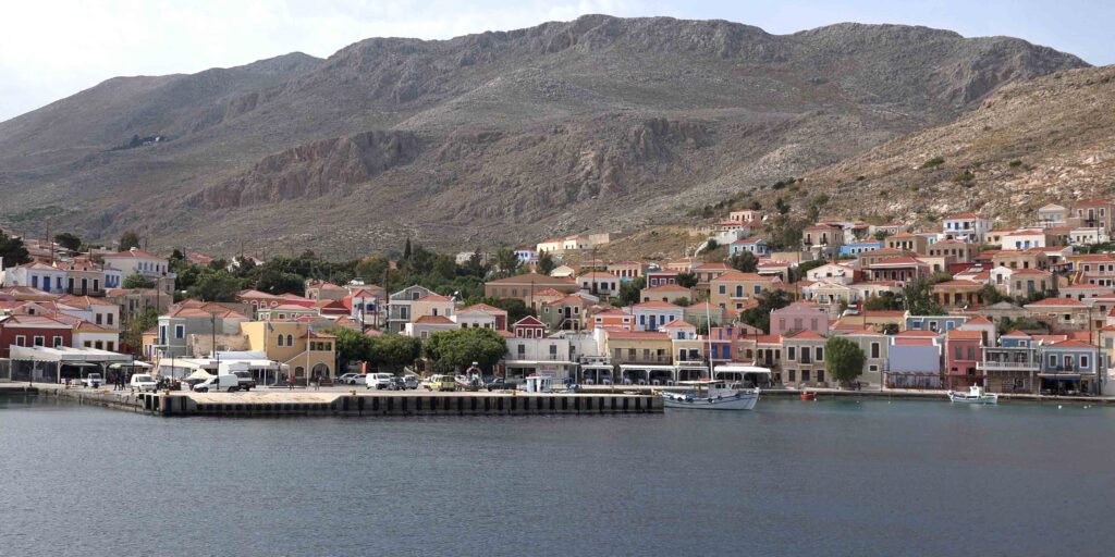
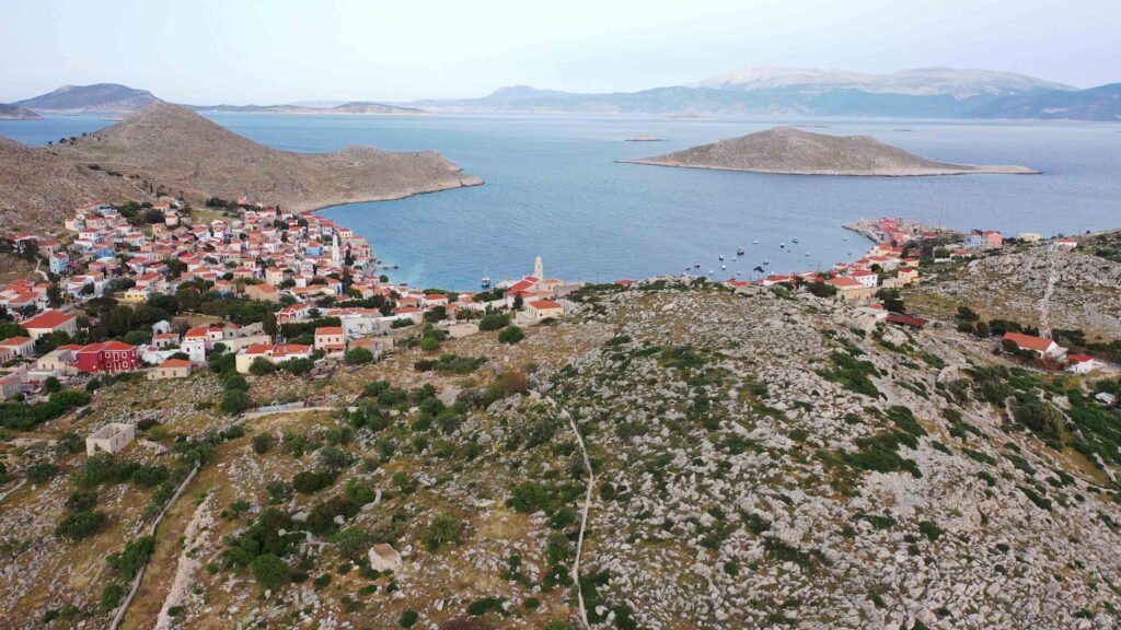
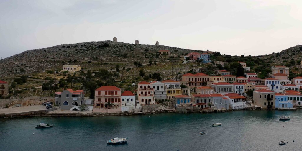
Chalki sits about 5 NM west of Rhodes · a small island (~28 km², ~330 inhabitants) whose one settlement — Nimborio (also called Emporeio) — climbs the slopes of the hills around the bay in a tight arrangement of Italian-era neoclassical houses. The town has the same colourful waterfront character as Symi but smaller, quieter, and less visited. The name “Chalki” derives from the ancient Greek chalkos (copper), referencing the historical copper mining on the island. The Tarpon Springs (Florida) Greek-American sponge-diving community has its diaspora roots on Chalki — a substantial portion of the island’s population emigrated there in the early 20th century.
⚠ Reality check:
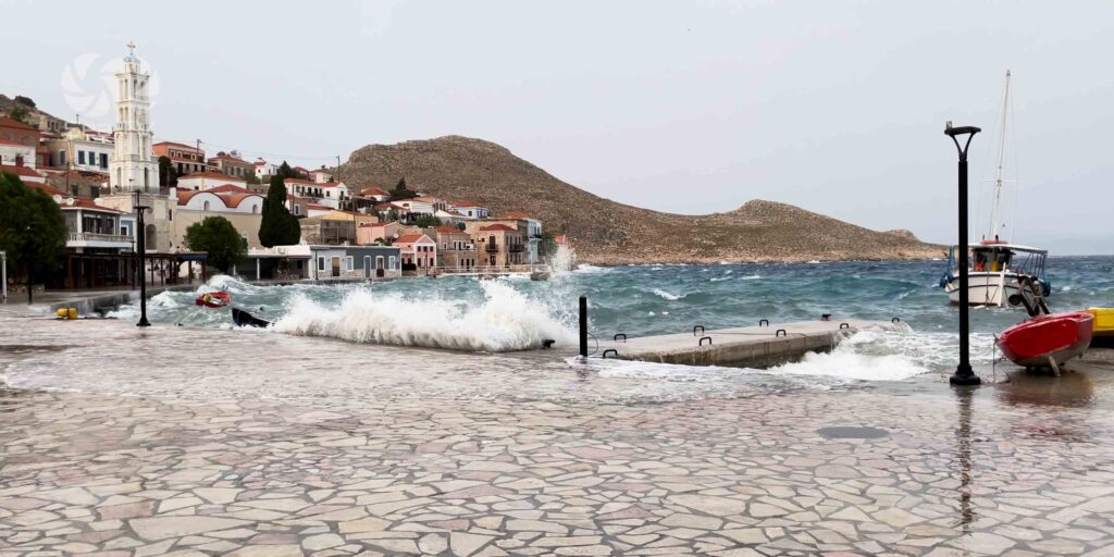
→ Sheltered from SW · open and exposed to W and N (strong squalls) and E-SE (swell)
→ Submarine cables S and NE · anchorage + fishing prohibited up to 180 m from both sides
→ Underwater rocks on steep rocky shores · check chart carefully
→ Daytime sailing recommended · don’t approach in the dark
→ No lazy lines on the floating pontoon · drop your own anchor
⚓ Chalki at a Glance
Position
36°13′.33N · 27°36′.87E
Distance from Rhodes
~5 NM W
Size · Population
~28 km² · ~330 residents
Main port
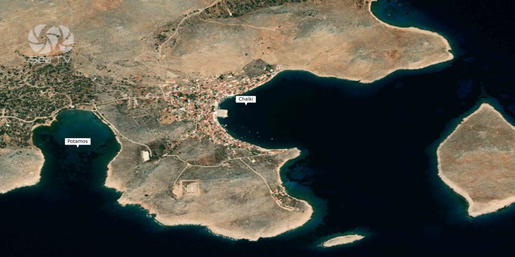
Emporeio (Nimborio village)
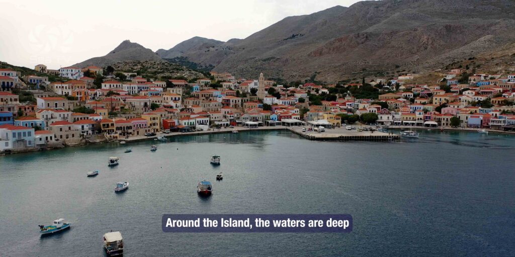
Bay depths
~35-39 m middle
Ferry alternative
From Kamiros Skala (Rhodes)
Approach & Navigation
Visual Landmarks · Submarine Cables · Underwater Rocks
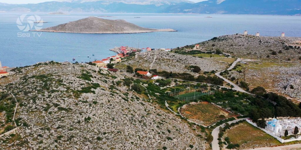
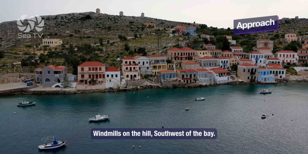
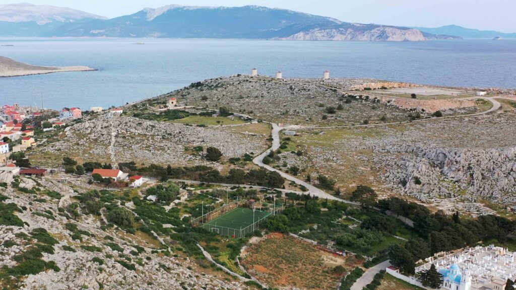
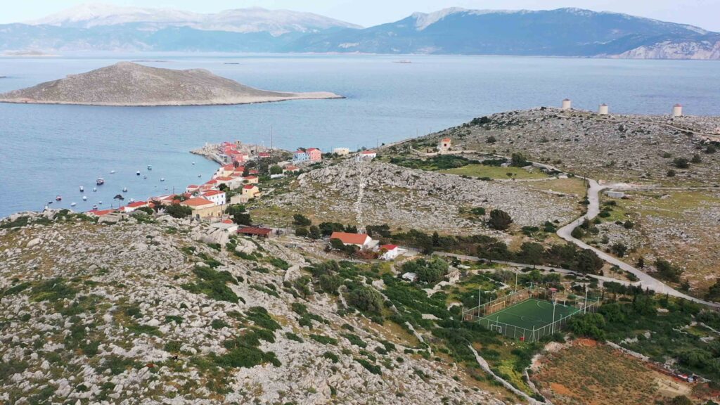
Visual landmark on approach: Look for the windmills on the hill southwest of the bay · they’re the visual cue for the bay entrance.
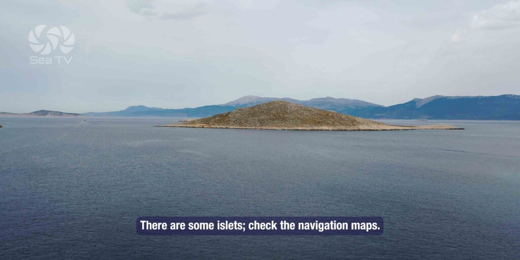
Surrounding waters: Deep with some islets · check navigation maps for underwater rocks on the steep rocky shores.
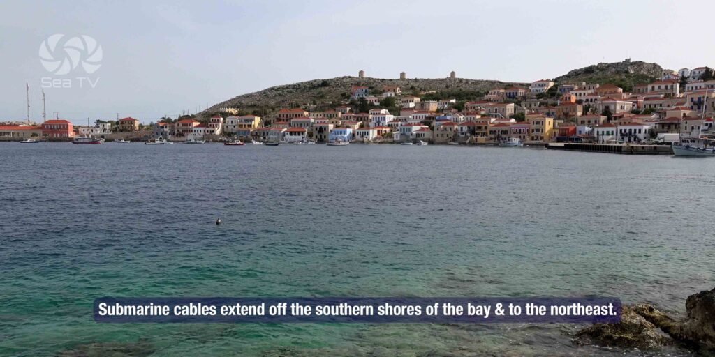
⚠ Submarine cables — S of bay: Cables extend off the southern shores · anchorage and fishing prohibited up to 180 m from both sides.
⚠ Submarine cables — NE of bay: Same restriction · plot the cable lines on the chartplotter.
⚠ Daytime arrival recommended: Sail to the bay during the daytime · the cable restrictions and underwater rocks make night approach risky.
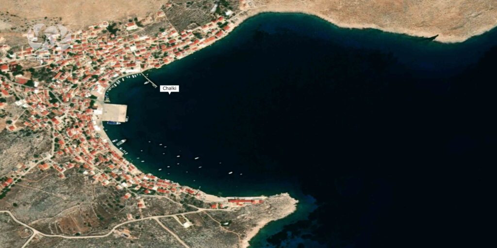
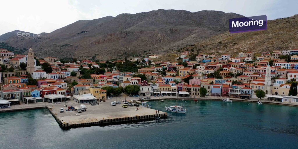
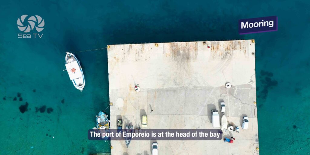
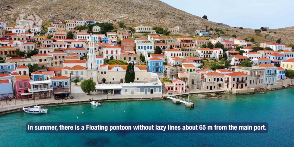
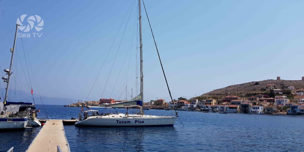
⚓ Mooring at Emporeio (Nimborio)
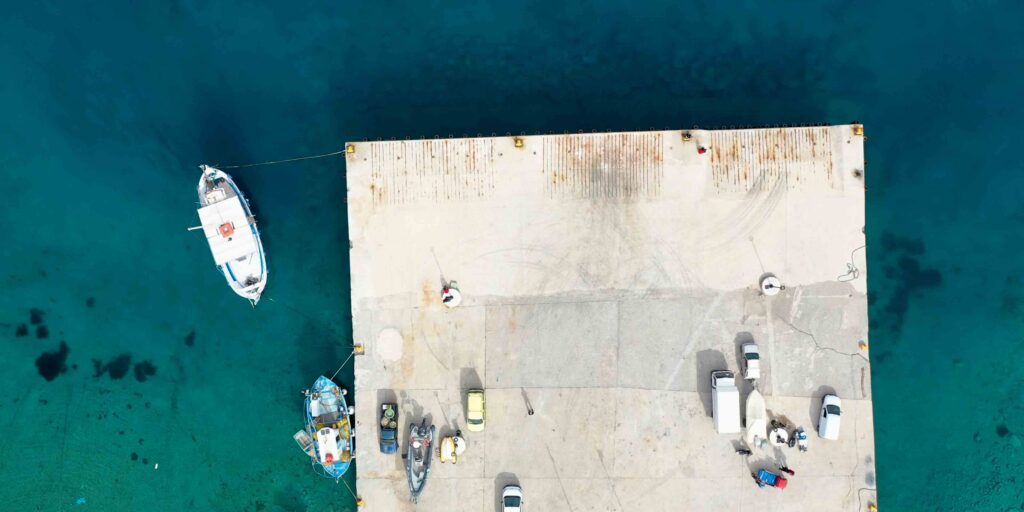
Port of Emporeio · Floating Pontoon · No Lazy Lines
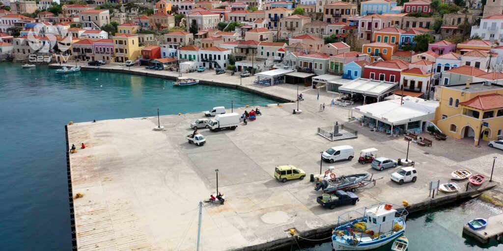
The Main Port
Position: Port of Emporeio at the head of the bay · the main mooring option.
Floating pontoon: Available about 65 m from the main port in the summertime · no lazy lines · drop your own anchor.
Setting: The Nimborio waterfront stretches around the harbour · neoclassical houses in pastel colours climb the hills above.
Anchoring · SW Bay · Mid-Bay 35-39 m
Anchoring Options
Southwestern part of bay: Anchor in the SW part of the bay · works in standard summer conditions.
Northern part — Meltemi shelter: In summer, ships are requested to anchor at the port’s northern part · this gives better shelter from the prevailing N and NW winds.
Mid-bay depths: ~35-39 m in the middle of the bay · plan scope accordingly · the rim of the bay shoals up.
⚓ Bay Potamos — Calm-Weather Cove
Calm-Weather Cove · 4-8 m · Open S
Bay Potamos
A separate cove on the island, ideal in calm weather only · the bay is open to the south so southerlies blow straight in.
Anchoring: 4-8 m of water · drop in clear sand patches.
⚠ Watch for underwater rocks in the middle of the bay · check chart, drop on the sides not the centre.
Chalki Heritage
Italian-Era Neoclassical Architecture
Chalki was part of Italian-ruled Dodecanese (1912-1947) · the colonial period coincided with a wave of neoclassical building in Nimborio, particularly along the waterfront and on the lower slopes · pastel colours, classical facades, decorated balconies. The character is closer to Symi (also famous for neoclassical waterfront houses) but smaller and quieter — Chalki has been called “the smaller Symi” in the cruising literature, though the population is just a fraction of Symi’s.
Abandoned Chorio & the Knights’ Castle
The medieval inland village of Chorio sits on a ridge above Nimborio · abandoned when residents moved down to the harbour (the typical Aegean pattern from piracy-era inland refuge to coastal settlement). The Knights of St John castle (1309-1522) crowns the ridge above Chorio · ruined but the walls and gates remain · accessible by walking path from Nimborio · panoramic views over the island and back to Rhodes.
Tarpon Springs Diaspora · Florida Sponge-Divers
In the early 20th century, a substantial portion of Chalki’s population emigrated to Tarpon Springs, Florida, then a centre of the American sponge-diving industry. The Greek-American sponge-diver community in Tarpon Springs has its diaspora roots largely on Chalki and Kalymnos · the connection has stayed culturally alive across generations and Tarpon Springs Greek-Americans regularly visit the island.
Monastery of St John & Donkey Transport
The Monastery of St John (Agios Ioannis) sits inland on the W of the island · panoramic views · accessible by walking or by donkey ride. Donkeys remain a working part of Chalki’s transport system, particularly for moving goods up the steep paths to the abandoned villages and the monastery.
Beaches
Pondamos Beach — Located near the harbour · sandy beach with clear waters · the closest beach to Nimborio and the most-used.
Ftenagia — Pebble beach with very clear waters · favourite of locals · short walk from town.
Yali, Trachia, Areta — Other beaches around the island · accessible by foot, donkey, or with own dinghy from the yacht.
Diving: The waters around Chalki hold ancient ruins and marine life · several diving schools offer excursions.
Wind Strategy at Chalki
SW winds: Sheltered from southwesterlies · the bay’s geometry protects from this direction.
⚠ W and N winds (prevailing summer): The W and N winds, including the Meltemi, cause strong squalls in the bay · be ready for sudden gusts.
⚠ E and SE winds: Create swell and waves inside the bay · uncomfortable · move on if forecast.
Best season: May-June and September-October for the most settled conditions · July-August has the most reliable Meltemi (squalls in the bay) but also the most boats.
Pro Tips for Chalki
Daytime arrival. Plot the submarine-cable lines (S and NE) and the underwater rocks before approach · don’t enter at night.
Anchor in the N part of the bay in Meltemi. Better shelter from N and NW winds · summer ships are requested to use this area.
Drop your own anchor at the floating pontoon. No lazy lines · 65 m offshore · use bow anchor and stern lines.
Walk up to the abandoned Chorio + Knights’ castle. Half-day excursion · panoramic views · the best cultural visit on Chalki.
Visit Pondamos Beach. Closest to harbour · sandy · clean water · the practical beach option.
Pair with Symi for the architectural comparison. Chalki is the smaller, quieter version of Symi · sailing both lets you compare the colourful neoclassical waterfronts at very different scales.
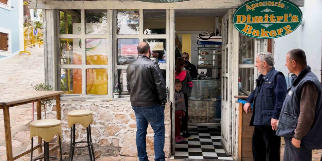
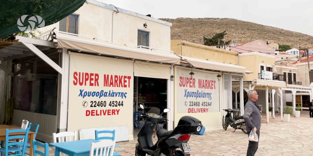
Provision in Nimborio. The main supermarket in Nimborio Village covers the basics · walking distance from the mooring area · stock up before continuing to remoter stops.
Routes from Chalki
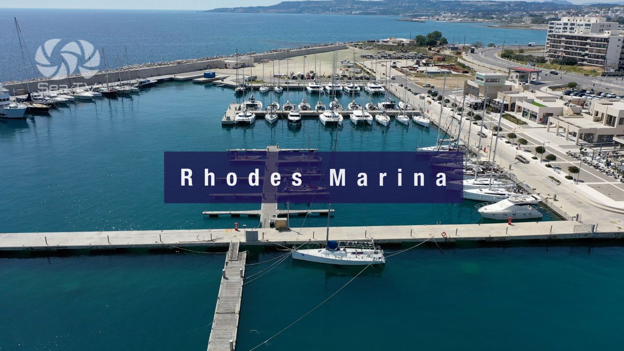
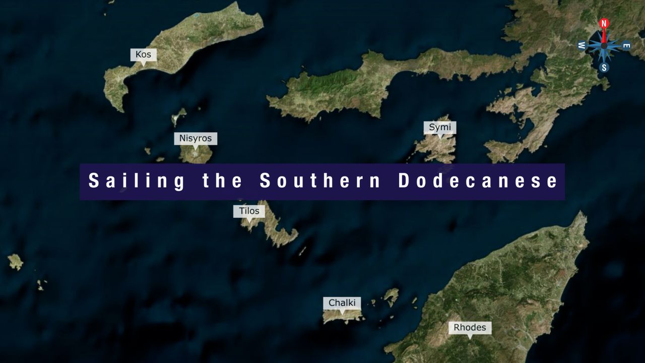
E to Rhodes: ~5 NM · ferry alternative from Kamiros Skala. See Rhodes · Rhodes Marina.
N to Symi: ~25 NM N. See Symi.
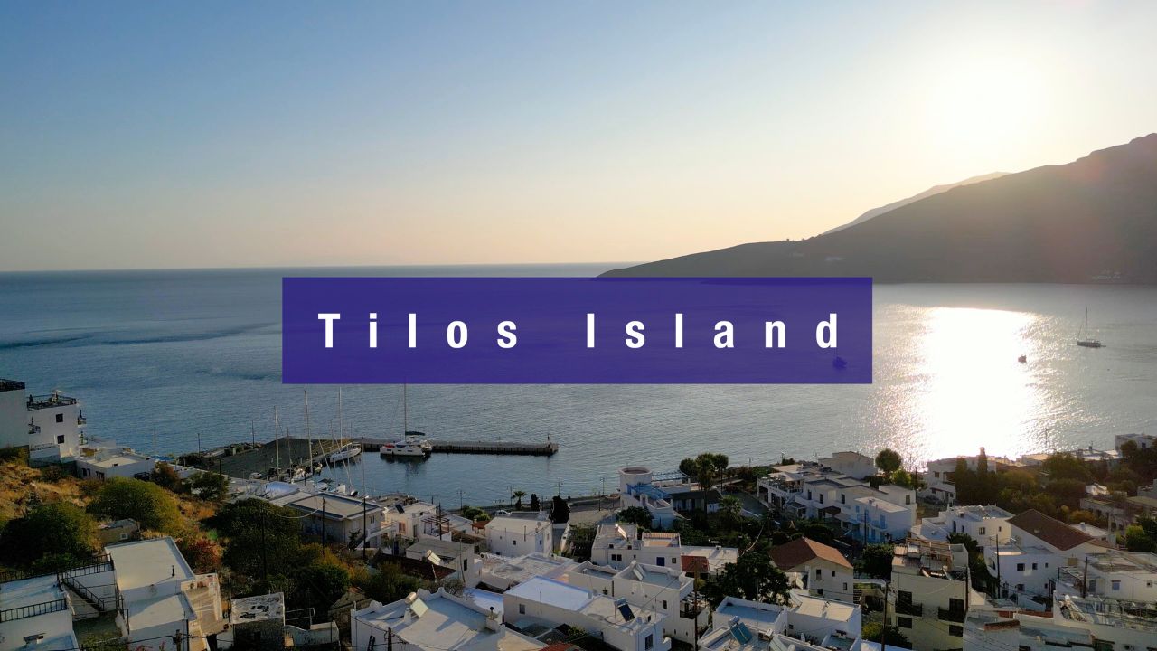
NW to Tilos: ~25 NM NW. See Tilos Island.
SW to Karpathos: ~35 NM SW · the long crossing south.
Dodecanese full route: See Dodecanese — Our Route.
Emergency Numbers — Chalki
European Emergency: 112
Greek Coastguard: 108
Coastguard Distress (VHF Ch. 16): Universal
Chalki Port Authority: +30 22460 45220
Related SeaTV Pages
Adjacent Islands
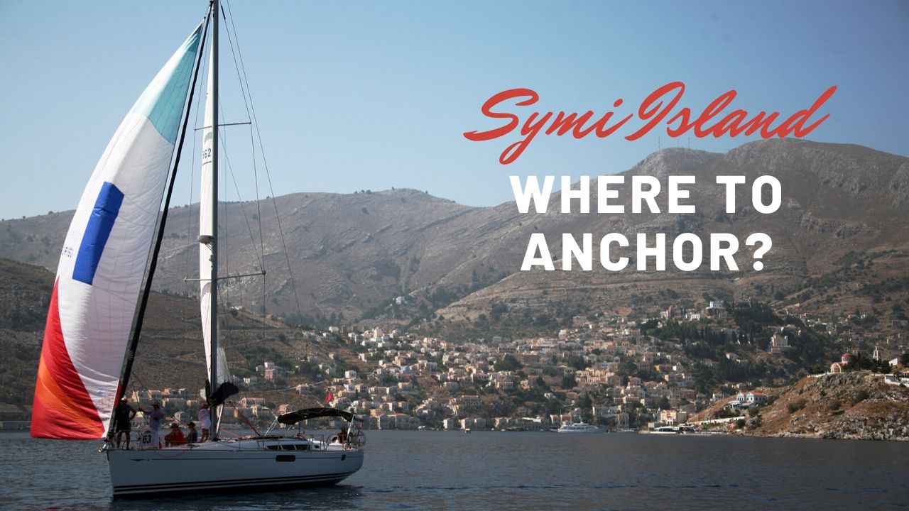
→ Symi
Sailing to Chalki?
5 NM W of Rhodes · neoclassical Nimborio waterfront · the smaller, quieter Symi · abandoned Chorio + Knights’ castle on the ridge · Tarpon Springs Florida diaspora roots · windmills SW are the visual landmark on approach.
“Chalki is the smaller, quieter Italian-era neoclassical island five nautical miles west of Rhodes — Nimborio’s pastel waterfront has the same colourful character as Symi but at a fraction of the population, the abandoned medieval Chorio with its Knights’ castle sits on the ridge above, and the Tarpon Springs Florida sponge-diver diaspora has its roots here. Look for the windmills on the SW hill on approach, plot the submarine cables to the south and northeast (anchorage and fishing prohibited up to one hundred and eighty metres from both sides), drop on the floating pontoon sixty-five metres offshore (no lazy lines, drop your own anchor), and the smaller-Symi alternative on the western edge of the Dodecanese opens up — best in late spring and early autumn when the W and N squalls aren’t at their summer peak.”
— SeaTV Visual Pilot · Dodecanese Edition