SeaTV · Greece · Dodecanese Islands · Kardamena (Kos)
Kardamena (Kos) — Sandy Anchorage, Tiny Port & Nisyros Ferry Hub
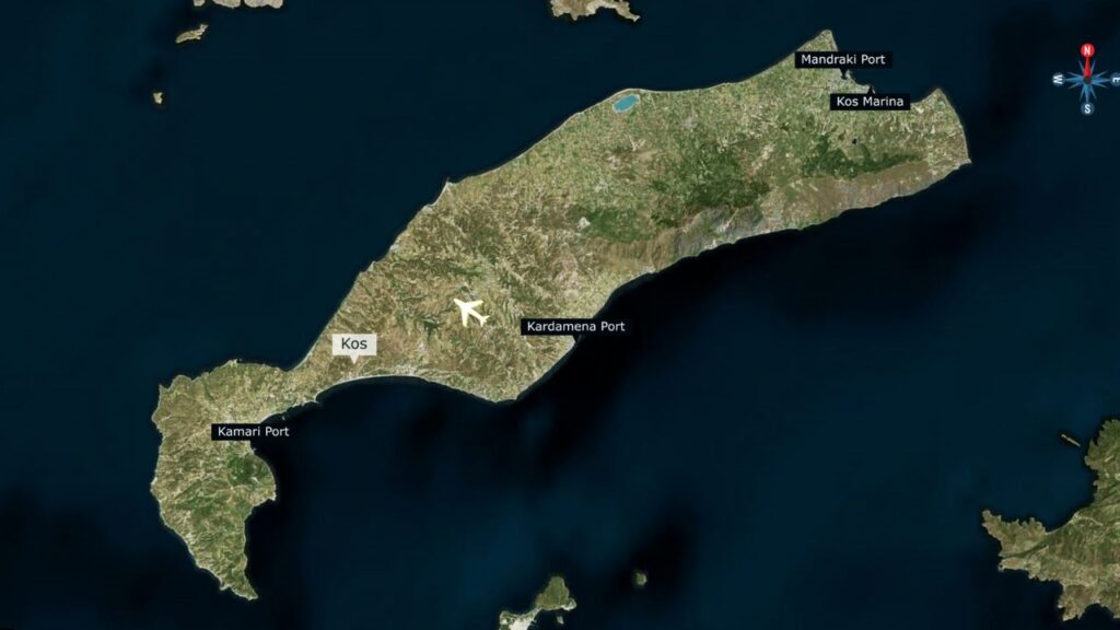
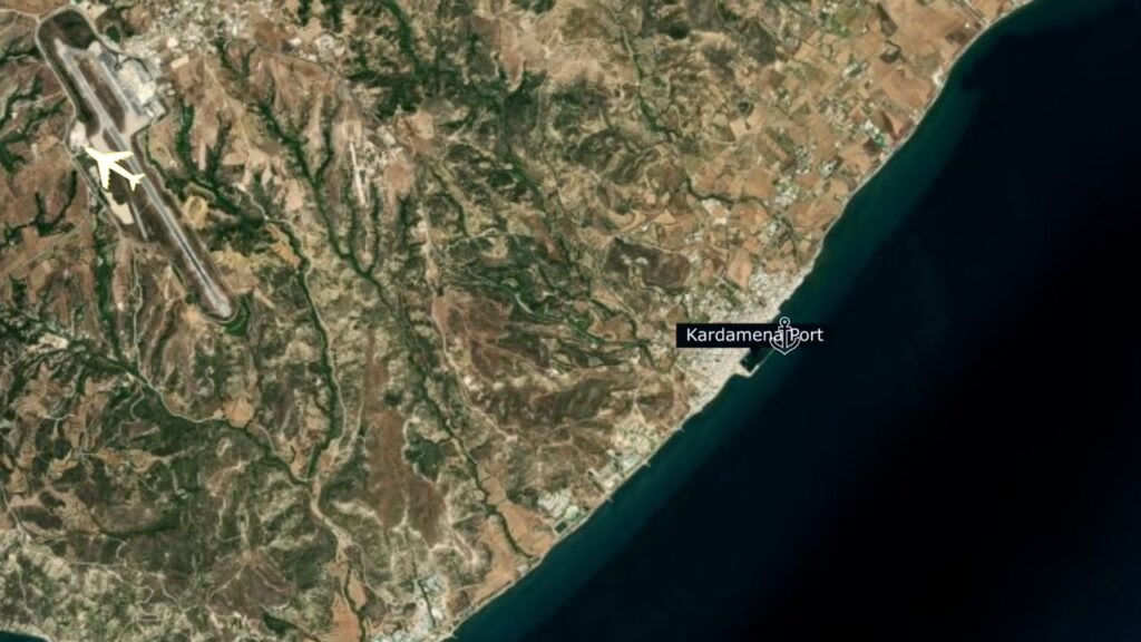
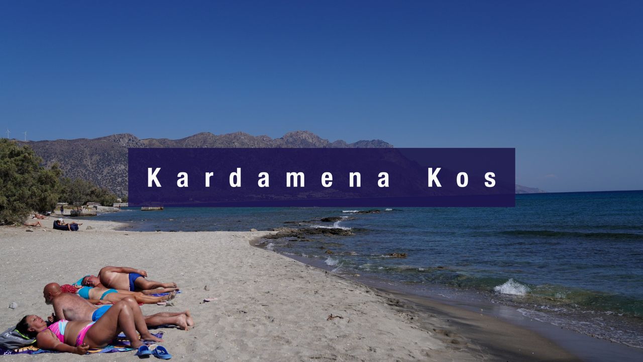
A resort town on the south coast of Kos with a long sandy beach, a small 6-berth port, and an excellent anchorage just to the north. The Kardamena harbour is the main ferry connection to volcanic Nisyros and its active Stefanos Crater. Kos airport is a 10-minute drive — practical for crew rotation. ⚠ Plot the submarine cables SW of the port before approaching.
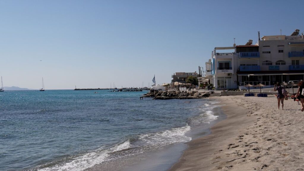
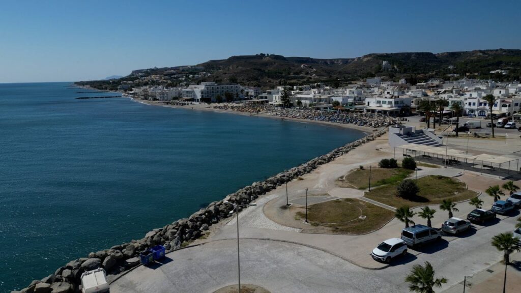
Kardamena is a resort town on the south coast of Kos — the second-largest island in the Dodecanese after Rhodes — known for its long sandy beach lined with bars, tavernas, and nightclubs. For sailors, the appeal is more practical: a sheltered sandy-bottom anchorage just north of the small harbour, ferry connections to the volcanic island of Nisyros with its active Stefanos Crater, and Kos international airport just 10 minutes away by road for charter handovers and crew arrivals.
⚠ Reality check:
→ Submarine cables 500m SW of the small port · anchorage and fishing prohibited up to 500m on both sides
→ Shallow areas around anchorage and port · careful navigation required
→ SE winter winds bring 2-3 m waves · stormy and uncomfortable
→ Tiny port — only 6 berths · max LOA 14 m · don’t expect to find space without booking
→ Resort beach context · summer crowds · noise from beach bars at night
⚓ Quick Facts
Anchorage position
36°47′.05N · 27°08′.92E
Port position
36°46′.92N · 27°08′.67E
Setting
South coast of Kos · resort town
Berths
6 (port) · plus anchorage
Max LOA
14 m at port
Strategic role
Ferry to Nisyros · Kos airport 10 min
Approach & Critical Hazards
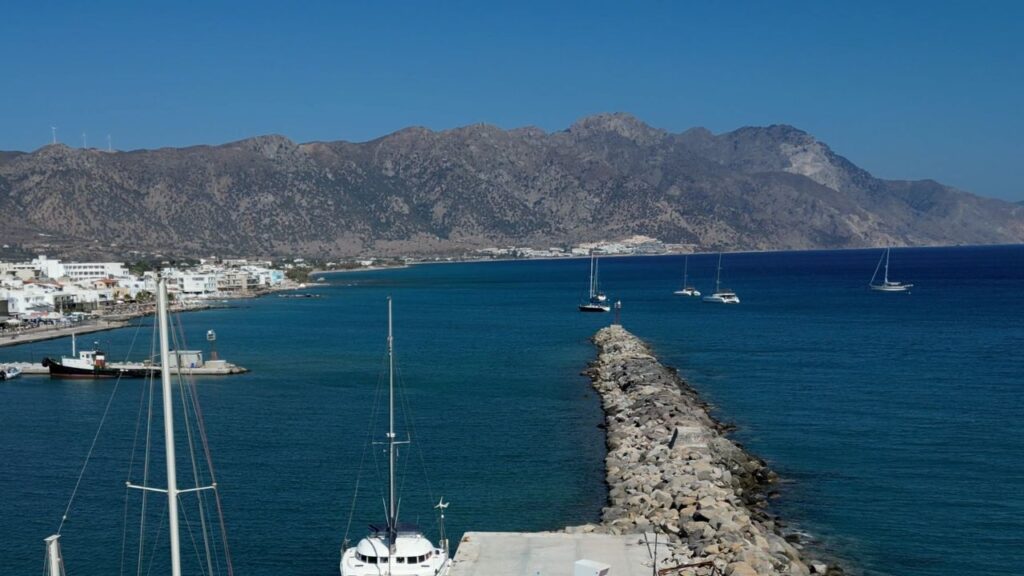
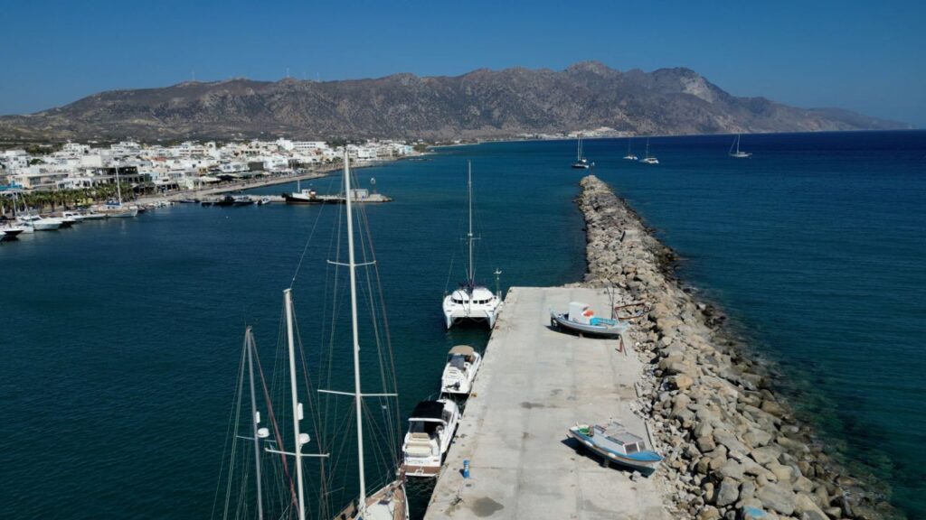
Position: Kardamena sits on the south coast of Kos, roughly central along the island’s southern shoreline. The small port is at the eastern end of the resort beach, with the anchorage just to the north of it.
⚠ Critical hazard #1 — Submarine cables: Submarine cables run 500 m SW of the small port. Anchorage and fishing are prohibited up to 500 m on both sides of the cables. Plot the cable path on the chartplotter before approaching · this is enforced and dragging an anchor through the cables creates serious problems.
⚠ Critical hazard #2 — Shallow areas: Be careful of shallow areas around both the anchorage and the port. Approach slowly with eyes on the depth sounder.
⚠ Critical hazard #3 — Winter SE winds: When SE winds prevail in winter, the south Kos coast becomes stormy with 2–3 m waves. Kardamena is not a winter shelter · move to Mandraki on Kos’s north coast or to one of the more protected Dodecanese harbours.
⚓ Kardamena Nord — The Anchorage
Position · 36°47′.05N · 27°08′.92E · 5 m Sand · Good Holding
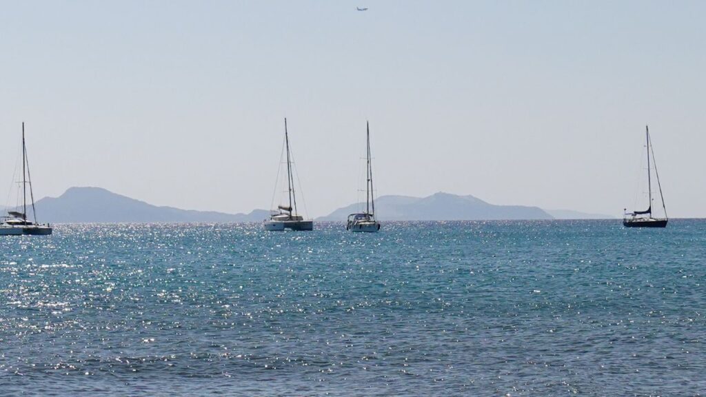
Sandy-Bottom Anchorage North of the Port
Position: North of the small port · clear water, sandy bottom.
Depths: 5 m where SeaTV anchored.
Bottom: Sand · good holding · easy set, easy retrieve.
Water quality: Clear, blue water · sandy bottom = excellent visibility for swimming.
⚠ Cable warning: Stay clear of the cable exclusion zone (500 m on both sides of the SW cable line) when setting anchor.
⚠ Wind warning: Open to SE in winter — 2-3 m waves possible. Settled-summer-weather choice.
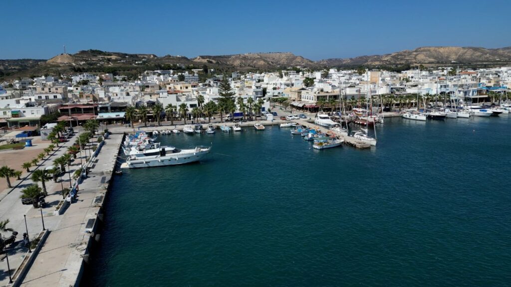
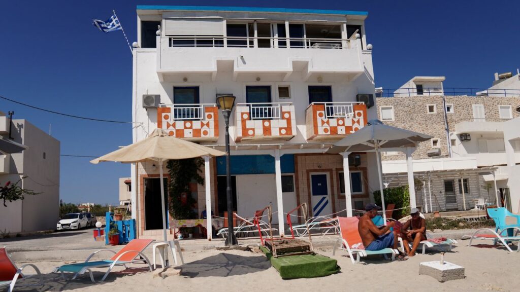
⚓ Port Kardamena — The Tiny Harbour
Position · 36°46′.92N · 27°08′.67E · Med-Mooring · 6 Berths Only
Mediterranean Mooring at the Small Port
Mooring style: Mediterranean mooring (Med-moor) · drop bow anchor, reverse to quay, secure stern lines.
Berths: Only 6 · this is a small fishing-port-with-yacht-room, not a marina.
Max draft: 2–3 m · check your draft before approach.
Max LOA: 14 m · larger yachts must use the anchorage.
⚠ Reality: 6 berths fills fast in summer. The anchorage is the more reliable option for most charter yachts.
Facilities & Services
Water and electricity: Available at some quays in the small port · not all berths.
Provisioning: Several supermarkets within walking distance · resort-town inventory · easy reprovisioning for charter weeks.
Dining: Long sandy beach lined with bars and tavernas · resort scene · summer evenings get loud.
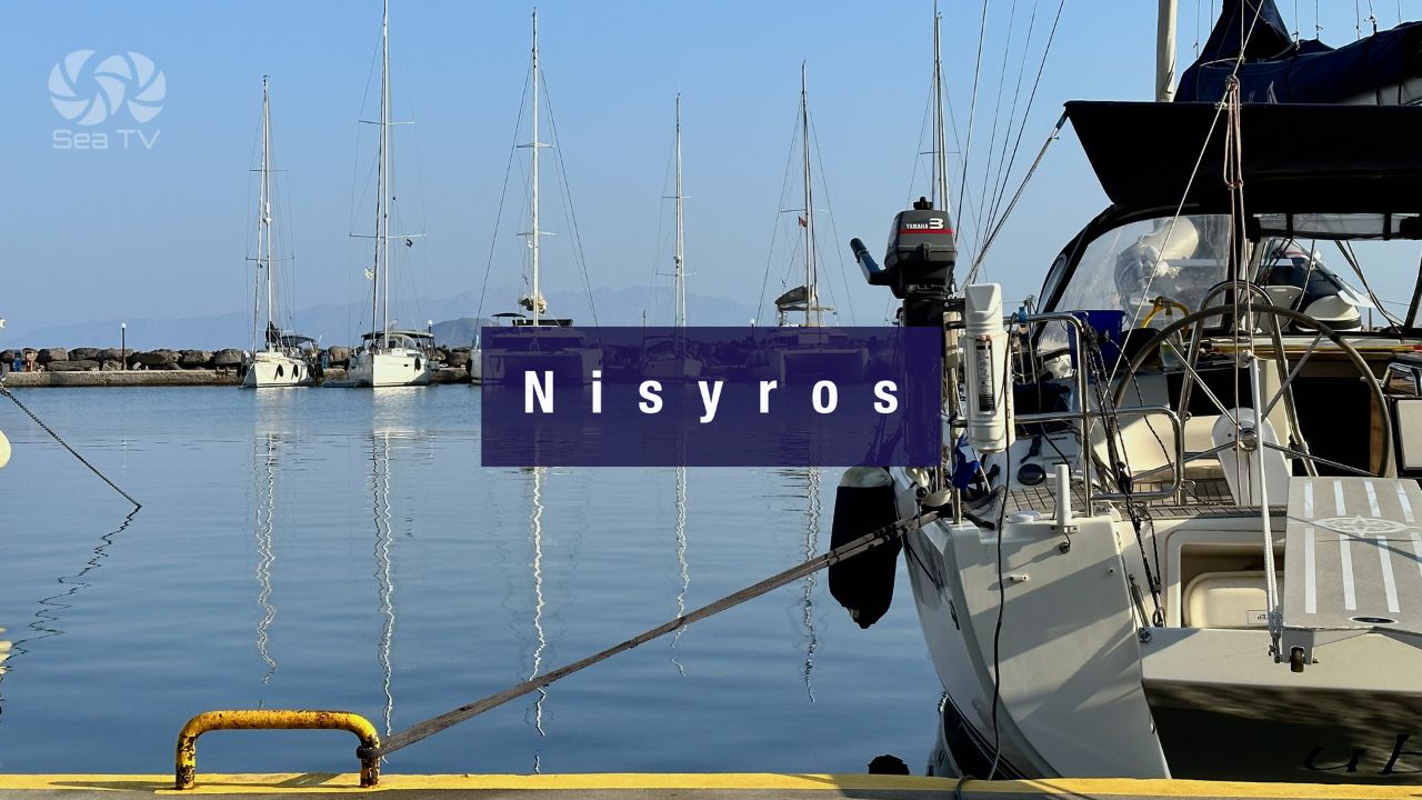
Ferry to Nisyros: Boats run from Kardamena port to the volcanic island of Nisyros · an alternative to sailing there if conditions don’t suit. The active Stefanos Crater in the Lakki caldera is a half-day shore tour.
Kos Airport: The international airport (Hippocrates Airport · IATA code KGS) is just 10 minutes drive from Port Kardamena · this is the practical advantage of the stop. Useful for crew rotation, charter handover, or family arrivals/departures mid-charter.
When to Use Kardamena
Best for: Crew rotation via Kos airport · day-stop or overnight on the way to/from Nisyros · sandy-bottom swimming · summer settled-weather anchor stop on the south coast.
Good combination: Kardamena anchorage + Nisyros volcano day-trip · swim morning at Kardamena, ferry afternoon to Nisyros, return for overnight, depart north next day.
Avoid when: Strong SE winds forecast (2-3 m waves) · winter conditions · if you want a quiet evening (resort beach noise) · if you need a marina with full services (use Mandraki Kos Harbour instead).
Cultural Context — Beyond the Resort Beach
Antimachia Castle — 14th-Century Hilltop Ruins
Just inland from Kardamena, on a hilltop overlooking the south coast, are the ruins of Antimachia Castle — a 14th-century fortress built by the Knights of St John when they ruled Kos and Rhodes (1309–1522). The walls still stand, and the panoramic view from the castle terrace covers the south coast and across to Nisyros on a clear day. The castle and the small village of Antimachia are about a 15-minute drive from Kardamena · well worth a half-day shore tour.
Kos — Birthplace of Hippocrates
Hippocrates (~460–370 BC) — the “Father of Medicine” and the figure behind the Hippocratic Oath that doctors still take today — was born on Kos. The Asklepieion, the ancient medical sanctuary and one of the most significant healing centres of the classical Greek world, sits on a hillside near Kos Town (about 30 km from Kardamena, accessible by road). The famous Plane Tree of Hippocrates in Kos Town — said to be where Hippocrates taught his students — is technically not 2,400 years old but is one of the oldest plane trees in Europe (~500 years). Worth a day-trip from Kardamena via the airport-area road.
Nisyros & the Active Volcano
A short ferry ride from Kardamena port takes you to Nisyros — one of Greece’s active volcanoes. The Stefanos Crater in the Lakki caldera is the highlight: a 260 m wide, 30 m deep crater with active fumaroles and bubbling sulphur deposits that you can walk down into. The geological scale is rare in the Mediterranean and the volcano is part of the European Geoparks Network. Half-day shore tour from a Kardamena anchorage.
Italian Colonial Period — 1912–1947
The Dodecanese (including Kos) was under Italian rule from 1912 (after the Italo-Turkish War) until incorporation into Greece in 1947. The Italian colonial period left distinctive architectural and infrastructure legacies across Kos — Italian-era public buildings, the road network, and town planning in Kos Town all date from this period. Kardamena itself was rebuilt after a 1933 earthquake during the Italian period · the modern resort layout reflects 1930s Italian planning.
Pro Tips for Kardamena
Plot the submarine cables before approach. 500 m exclusion zone on both sides of the SW cable line · enforced · don’t drag an anchor through it.
Use the anchorage, not the port, in most cases. 6 berths fills fast · the sandy-bottom anchorage to the N gives reliable holding and clear water for swimming.
Use Kardamena for crew rotation. Kos airport 10 minutes by road · the only south-coast stop with this airport-proximity advantage. Build it into the charter plan if you need a mid-week crew change.
Take the Nisyros ferry day-trip. The Stefanos Crater is one of the most accessible active volcanoes in Greece · ferry from Kardamena port avoids the wind-and-anchorage challenges of sailing to Nisyros directly. Half day there, half day back.
Drive to Antimachia Castle for the view. 14th-century Knights of St John fortress on the hilltop · 15-minute drive · panoramic views over the south coast and across to Nisyros. Worth the half-day inland excursion.
Combine with Kos Town day-trip. The Asklepieion (Hippocrates’s medical sanctuary), the Plane Tree of Hippocrates, and the Italian-colonial Kos Town are all ~30 km away by road · a long but worthwhile shore day from Kardamena.
Skip Kardamena if you want quiet evenings. Resort beach with bars and nightclubs · summer nights are loud. Move to Mandraki Kos Harbour on the north coast for a quieter overnight, or to one of the smaller Dodecanese stops.
Don’t winter here. SE winter winds bring 2-3 m waves into the south coast · this is a summer-only stop.
Routes from Kardamena
SW to Nisyros volcano: Day-sail or ferry · the Stefanos Crater · half-day shore tour. See Nisyros Island.
N around the headland to Kos Town / Mandraki: ~25 NM around the eastern tip of Kos · the main island harbour. See Mandraki Kos Harbour · Kos Island overview.
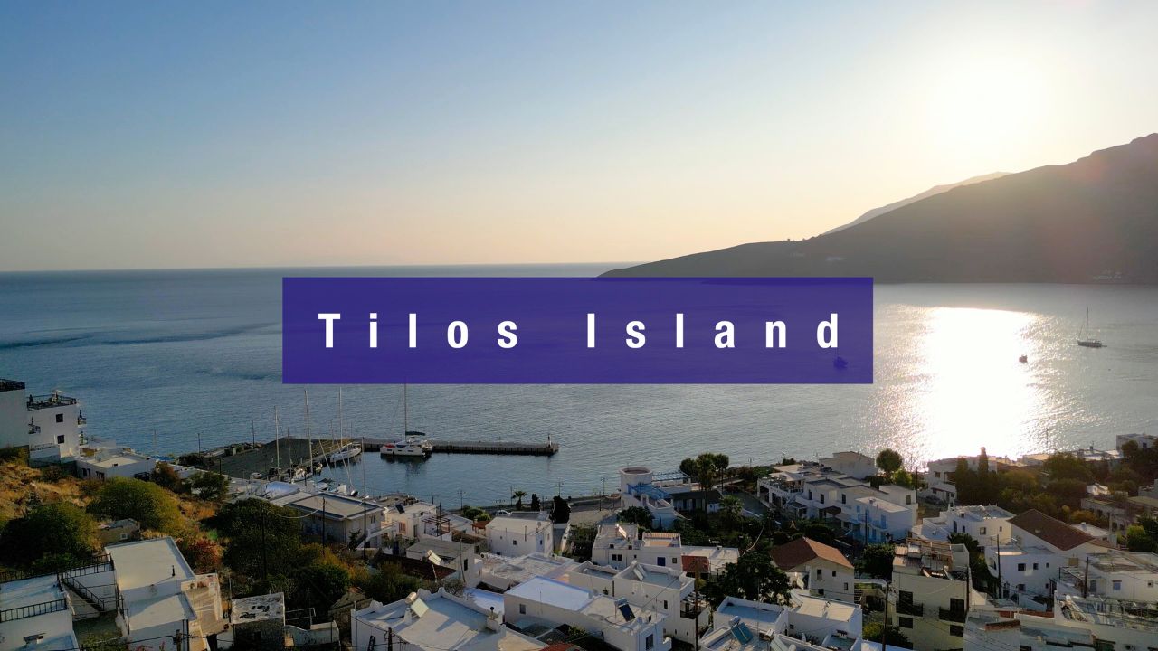
SE to Tilos: ~20 NM SE · the quiet protected island. See Tilos Island and Eristos Bay Tilos.
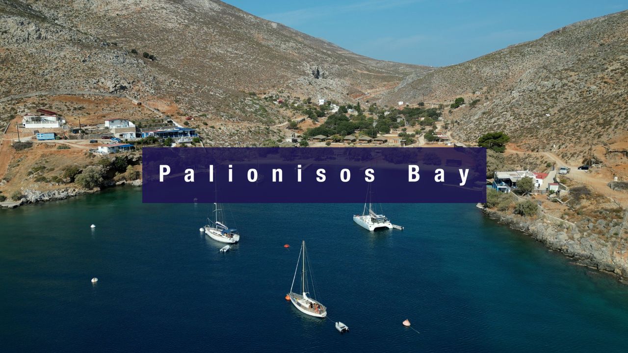
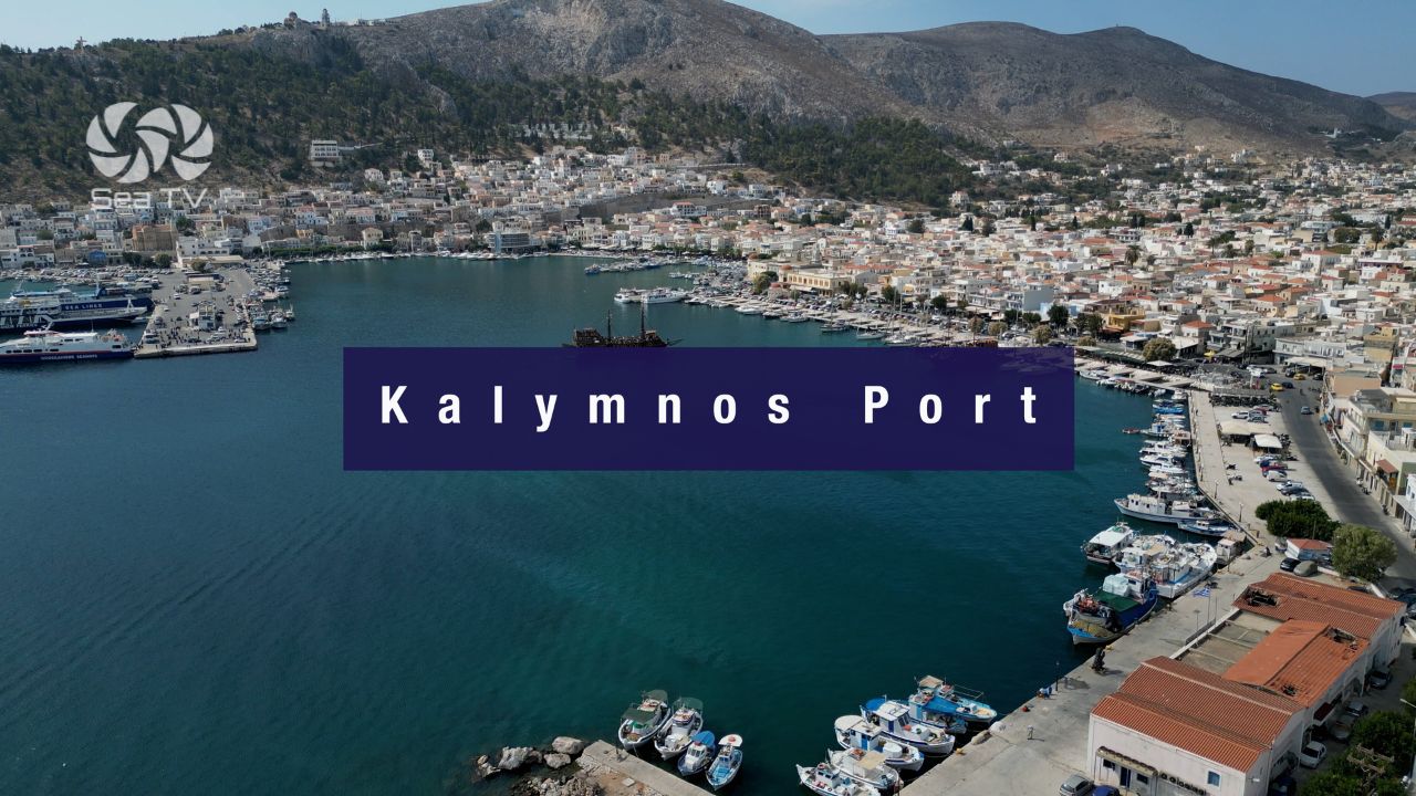
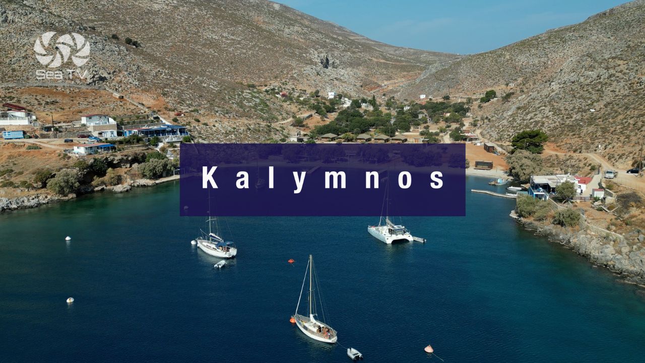
N to Kalymnos (across the strait): ~15 NM N · the sponge-diver island. See Kalymnos Island · Kalymnos Port · Palionisos · Vathy Cove.
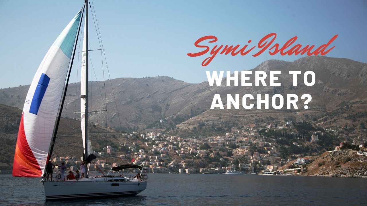
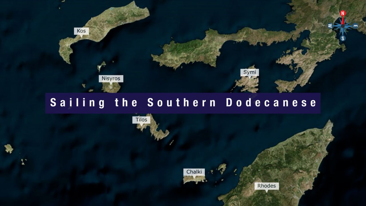
SE to Symi & Rhodes: ~50–60 NM · the southern Dodecanese. See Symi · Rhodes.
Dodecanese full route: See Dodecanese — Our Route.
✅ Sailor’s Checklist for Kardamena
▢ Submarine cable exclusion zone plotted on chartplotter (500 m SW)
▢ Shallow-area awareness · slow approach · eyes on depth sounder
▢ Wind forecast checked (avoid SE winter winds, 2-3 m waves)
▢ Anchor or port chosen by yacht size (port: 14 m max, 6 berths only)
▢ Draft confirmed (port max 2-3 m)
▢ Crew rotation logistics planned if using Kos airport (10 min drive)
▢ Nisyros ferry timetable noted if planning the volcano visit
▢ VHF on Ch. 16 throughout
Emergency & Service Numbers — Kardamena / Kos
European Emergency: 112
Greek Coastguard: 108
Coastguard Distress (VHF Ch. 16): Universal
Kos Port Authority: +30 22420 26594
Watch the SeaTV Visual Pilot Video
Drone passes over the Kardamena Nord anchorage with its sandy bottom and clear water, the small port with the 6 Med-moor berths, the long resort beach lined with bars and tavernas, the submarine-cable exclusion zone SW of the port, the Antimachia Castle ruins on the inland hilltop, and across to Nisyros on the southern horizon. Free for members.
Related SeaTV Pages
Kos Island & Adjacent
→ Mandraki Kos Harbour · the main island marina · north coast
→ Nisyros Island · ferry destination · active volcano
South to Tilos · Symi · Rhodes
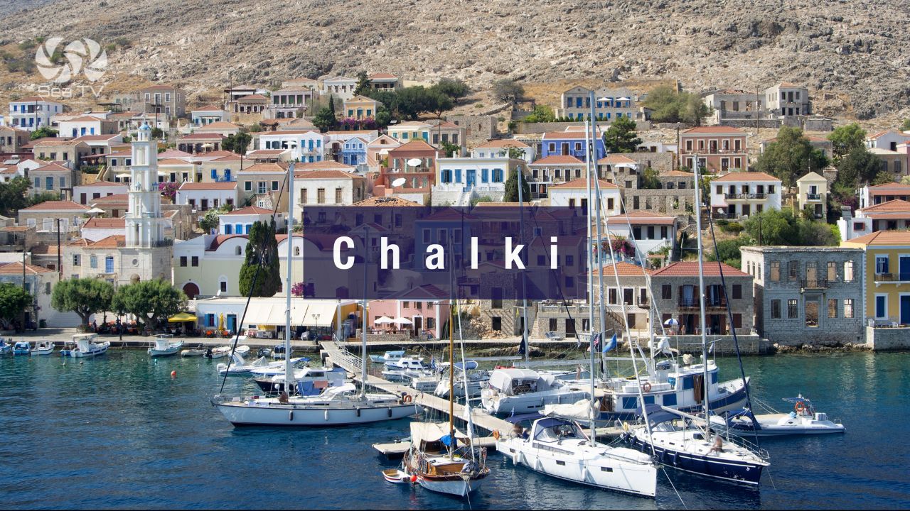
→ Chalki
Greece & Surrounding Cruising Grounds
→ Cyclades
→ Lycian Coast (Turkey) · ~50 NM E across the strait
Stopping at Kardamena?
Sandy anchorage · 6-berth port · Kos airport 10 min drive · Nisyros volcano ferry · Antimachia Castle inland · plot the submarine cables before approach.
“Kardamena is a south-coast resort beach with a sandy-bottom anchorage, a 6-berth fishing harbour, and a 14th-century Knights of St John castle on the hilltop just inland. The practical advantages: clear-water swimming on the sand, ferry connection to the active volcano on Nisyros, and Kos international airport ten minutes by road for crew rotation. Plot the submarine cables before approach, watch the SE forecast in any non-summer month, and the stop opens up as the most logistically convenient overnight on the south Kos coast.”
— SeaTV Visual Pilot · Dodecanese Edition