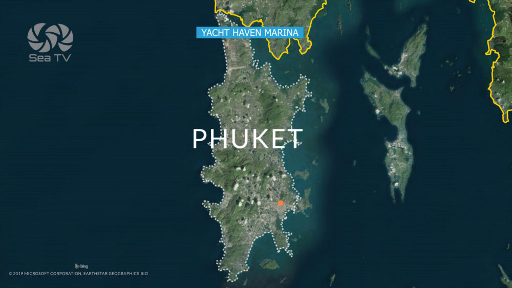
SeaTV · Thailand · Andaman Coast · Phuket Region · Route
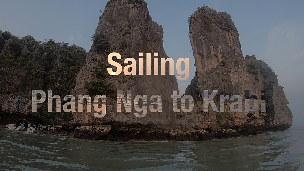
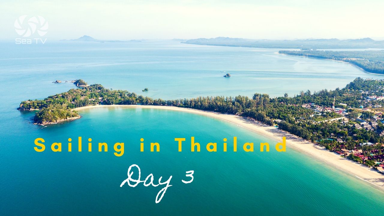
Sailing Phang Nga to Krabi — The SE Crossing
The classic Day-2 transit on the Andaman charter circuit · ~25 NM SE from the Phang Nga Bay limestone karsts to the Krabi mainland · via the Ko Yao Noi / Ko Yao Yai channel · bonus stops at Khao Khien (2,000-year-old cave paintings) and Ko Pak Bia · transitioning between two National Parks (Ao Phang Nga 300 THB to Mu Ko Phi Phi 400 THB) · ~5 hours under sail at 5 knots, ~1h 45 min by speedboat.
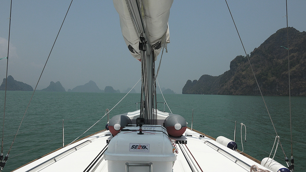
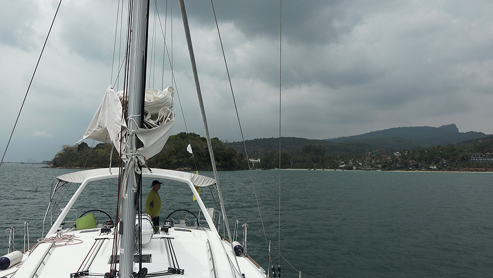
The Phang Nga to Krabi crossing is one of the most photogenic transits on the Andaman charter circuit. After Day 1 in the limestone karst islands of Phang Nga Bay (Ko Phanak, Ko Hong, Ko Roi, Ko Kudu Yai), Day 2 runs SE along the E coast of Ko Yao Noi, through the channel between Ko Yao Noi and Ko Yao Yai, past the islands of Ko Pak Bia and Ko Ka, and across the open bay to the Krabi mainland — landing at Klong Muang Beach for the lunch stop or Ao Nang for the overnight. The route crosses the boundary between two different National Parks: Ao Phang Nga NP (300 THB) in the N · Hat Noppharat Thara – Mu Ko Phi Phi NP (400 THB) in the S/SE · plan park fees accordingly. The transit is sheltered for most of its length by the Ko Yao islands, so wind tends to be lighter than open Andaman Sea sailing.
⚠ Reality check:
→ Two different park fees: 300 THB Phang Nga NP + 400 THB Mu Ko Phi Phi NP if you anchor in both
→ ⚠ Ko Yao channel: shoal area between Ko Yao Noi and Ko Yao Yai · Sunsail guide states yachts only on tides >0.5 m above your draft
→ ⚠ Night sailing forbidden in Thai waters · 06:00-18:00 only · plan to anchor by 16:00
→ ⚠ Fish nets along the route · sometimes marked with flags, sometimes not · keep watch and use the engine carefully
→ Light winds typical · the bay is sheltered · expect to motor at least part of the route
→ Ao Nang dries at low tide · time arrival for mid-tide rising for tender access
→ VHF Ch 16 for traffic and emergencies · Yacht Haven and Krabi marinas monitor
⚓ Route at a Glance
Departure
Ko Kudu Yai · 08°11.697’N · 098°38.029’E
Arrival (lunch)
Klong Muang · 08°02.955’N · 098°44.830’E
Arrival (overnight)
Ao Nang · 08°00.637’N · 098°50.094’E
Distance
~25 NM SE
Time under sail
~5 hours @ 5 knots
Time motoring
~3.5 hours @ 7 knots
Bearing
~140-150° (SE)
Park boundaries
Phang Nga NP → Mu Ko Phi Phi NP
Wind season
NE monsoon = light · SW = bigger swell
The Route, Segment by Segment
Segment 1 · Ko Kudu Yai → Ko Yao Noi NE Coast (~5 NM SE)
Departure waypoint: Ko Kudu Yai 08°11.697’N · 098°38.029’E. Last hong opportunity if morning timing allows · then sail SE along the E coast of Ko Yao Noi for ~5 NM in sheltered water.
⚠ Fishing nets common along the Ko Yao Noi shore · keep a sharp lookout · the engine prop will tangle in unmarked nets.
→ Bonus stop on Ko Yao Noi: the resort at the N tip of Ko Yao Noi has a restaurant open to visitors, mooring buoys offshore, and is a useful refuel/lunch alternative if you started early. Anchor well off the beach in 10 m+ — large reef extends from shore.
Wind: sheltered by Ko Yao Yai to the W · expect light NE monsoon flow.
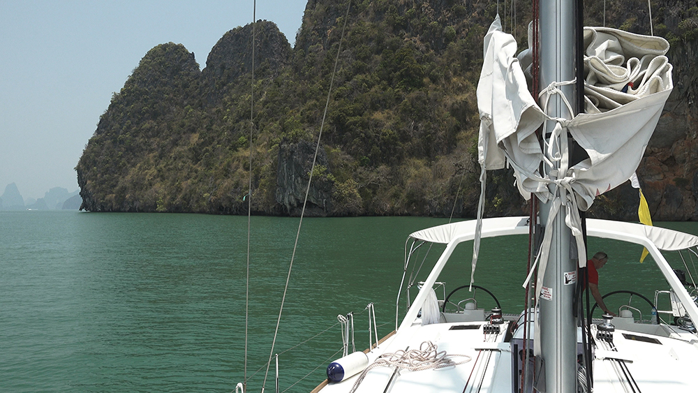
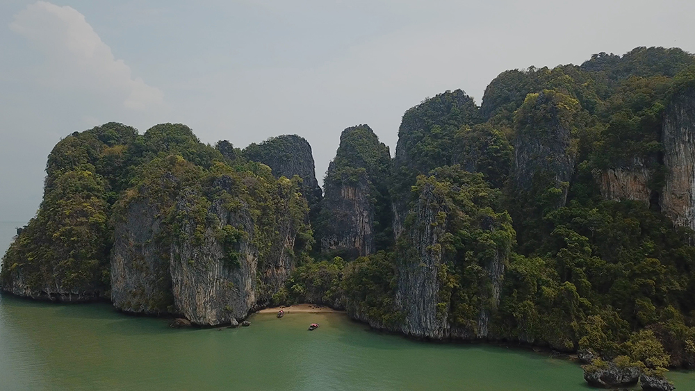
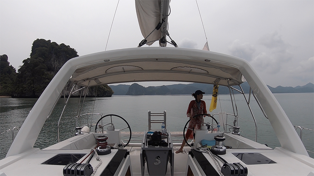
Segment 2 · Ko Yao Noi to Ko Yao Yai Channel (~6 NM S)
The two main islands of the bay · Ko Yao Noi to the W, Ko Yao Yai (the bigger one) to the E · they are separated by a narrow channel with shoal water at the S entrance.
⚠ Channel depth: per Sunsail guidance, transit only on tides >0.5 m above your draft · shoal area at the S end · reef on the Ko Yao Yai side.
Recommended pilotage E-W or W-E: stay closer to the Ko Yao Noi (W) side · the channel is well charted but the shoal patches drift slightly between updates · cross-reference your chartplotter with paper charts.
→ Laem Sai seafood restaurant at the S tip of Ko Yao Noi has a small floating pontoon for tenders · seafood lunch · be careful not to fall into the fish pens (per Derani Yachts cruising guide).
Tip: if the tide is wrong, sail around Ko Yao Yai to the E rather than through the channel — adds ~3 NM but avoids the shoal risk.
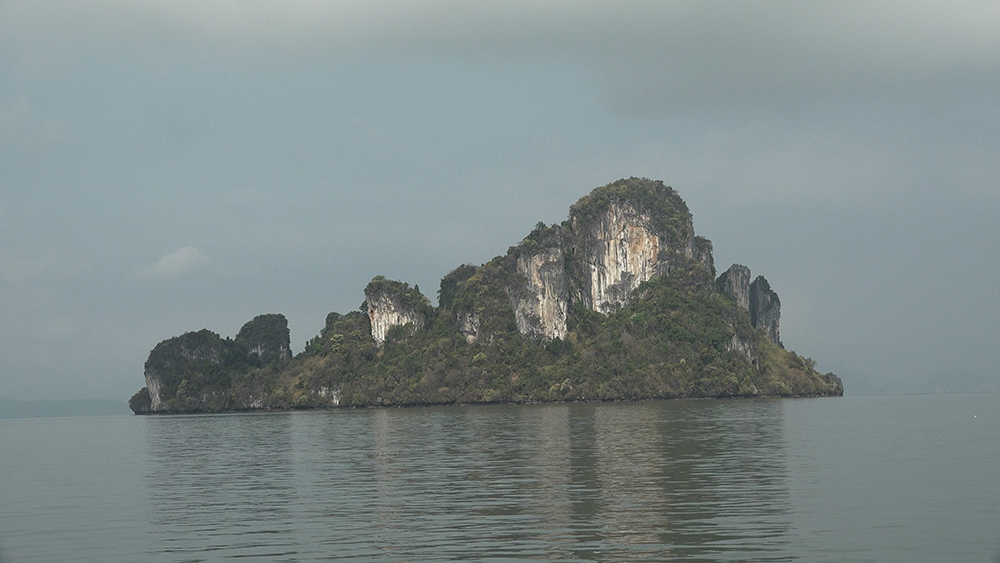
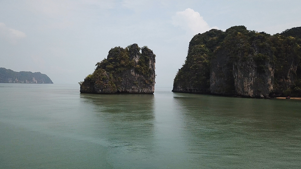
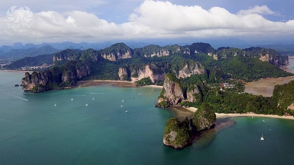
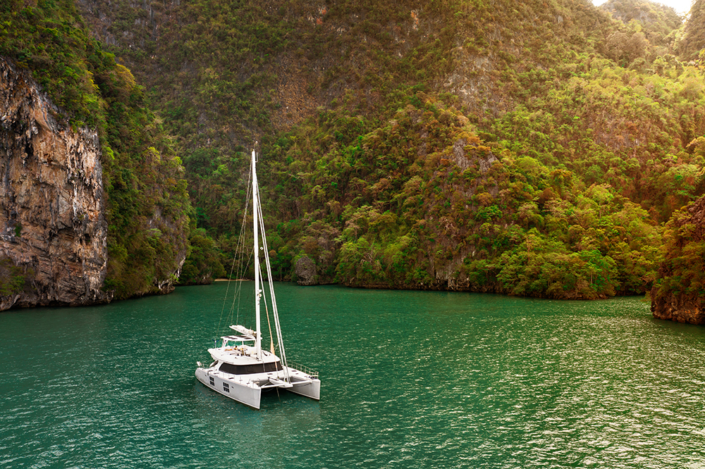
Segment 3 · Ko Pak Bia & Ko Ka Lunch Stop (~3 NM SE)
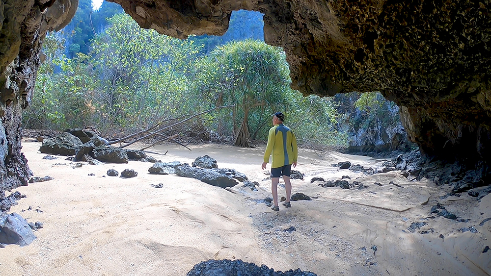
Ko Pak Bia is the small island group SE of Ko Yao Yai · two sandy spits join two of the islands at low water · good anchorage SW of the spit. Ko Ka is just to the SE — too deep to anchor but mooring buoys off the small reef on its N side make a calm lunch stop.
→ Ideal lunch break halfway through the route · swim, snorkel the reef, eat onboard, then continue.
⚠ Use mooring buoys at Ko Ka, not anchor · the bottom is too deep and the reef close in.
Segment 4 · Ko Ka → Krabi Mainland (~11 NM SE, OPEN WATER)
The longest leg · ~11 NM SE across open water from Ko Ka to the Krabi mainland · this is the only segment without island shelter on either side · expect more wind and a small swell here than in the sheltered northern half.
⚠ Park boundary · you cross from Ao Phang Nga NP territory into Hat Noppharat Thara – Mu Ko Phi Phi NP somewhere mid-leg · separate fees apply for each park if you’re going ashore.
⚠ Speedboat traffic · this open stretch is the express lane for day-trip speedboats running between Phuket marinas and Krabi · keep watch · they don’t always give way.
→ Approach to Klong Muang or Ao Nang: aim for the visible resort line of Klong Muang (Dusit Thani) for the lunch stop · or push another 5 NM E to Ao Nang for the overnight. Ao Nang is bigger and has the supplies; Klong Muang is quieter.
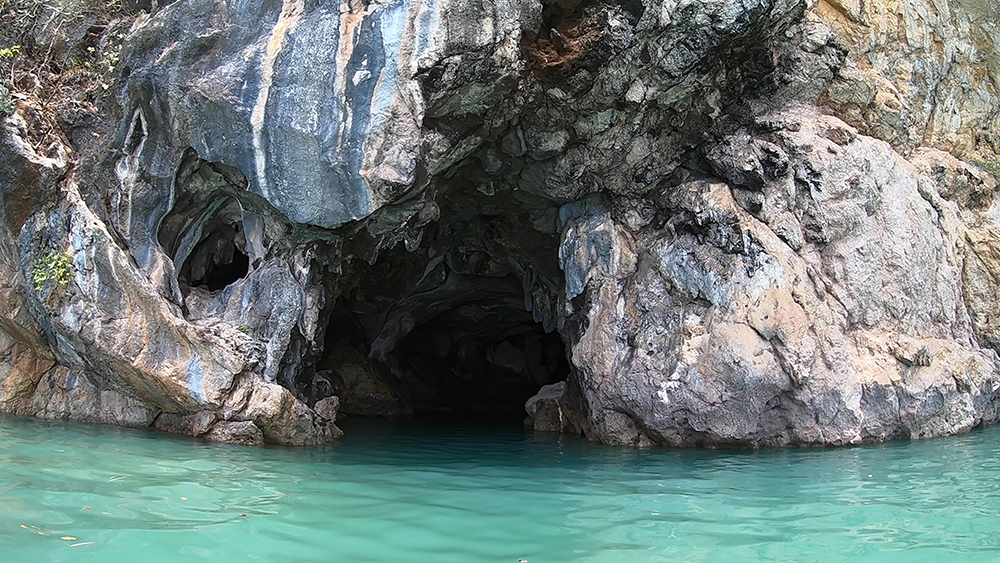
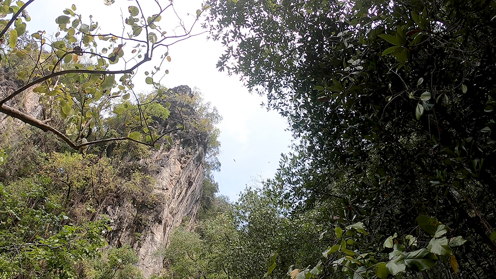
Bonus Detour — Khao Khien Cave Paintings
If you have time and the tide is on your side — detour ~3 NM N to Khao Khien (the “Hill of Writing”) on the way out of Phang Nga Bay before turning SE. The cliff face has 2,000-year-old Sea Gypsy cave paintings — figures of boats, fish, animals, and people, painted on the limestone wall by the early Andaman seafarers.
→ View from the dinghy · paintings are at sea level on the cliff face · best in soft morning light.
Adds ~1 hour · skip if behind schedule.
Wind & Tide Strategy
NE Monsoon · Nov-Apr (Charter High Season)
Light NE wind 5-15 knots · usually pushing you along the route as a quartering breeze. Good sailing conditions at the start and end of the route · light to flat in the sheltered middle. Plan to motor 30-50% of the leg.
SW Monsoon · May-Oct
SW wind on the nose for the SE crossing · chop in the open Segment 4 · most charter operators avoid in this season. If you must sail in SW season, plan for an early departure · arrive Krabi by mid-afternoon · don’t try Ao Nang (exposed to SW) — go to Krabi Boat Lagoon instead for shelter.
Tide Window for Ko Yao Channel
The Ko Yao Noi/Yao Yai channel has shoal water at the S entrance · per Sunsail pilotage, transit only on tides >0.5 m above your draft. Check Krabi tide tables before departure · time the channel for mid-tide rising or higher · or sail around Ko Yao Yai to the E (adds ~3 NM).
Suggested Day Plan
07:00 — Last hong attempt at Ko Kudu Yai or Ko Roi (depending on tide).
09:00 — Anchor up · sail SE along Ko Yao Noi E coast.
10:30 — Through the Ko Yao channel (or around the E side if tide is wrong).
11:30 — Lunch on a mooring buoy at Ko Ka or anchored at Ko Pak Bia.
13:00 — Underway again across the open SE leg.
15:00-15:30 — Anchor at Klong Muang Beach or push on to Ao Nang.
16:00 — Ashore for swim, beach walk, dinner.
Sunset at Klong Muang ~18:15 (NE season) · the W-facing beach gives full sunset.
Pro Tips for the Crossing
Pre-pay both park fees. 300 THB Phang Nga + 400 THB Mu Ko Phi Phi via DNP e-ticket before departure · keep digital and printed receipts.
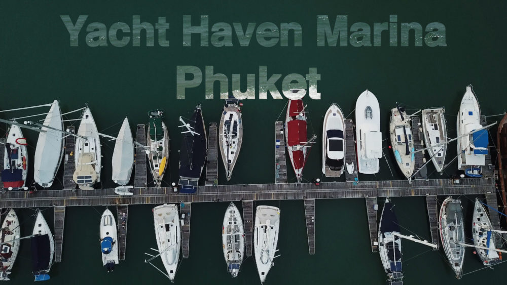
Top up water and fuel before leaving Yacht Haven. Phang Nga has no fuel · Krabi has limited options · Yacht Haven is the only reliable refuel until you return W.
Watch for fish nets all day. They are not always marked · slow the engine in shallow water · if you snag a net, stop, reverse, and clear before continuing.
Speedboat lookout in Segment 4. The open leg between Ko Ka and the Krabi mainland is the speedboat express lane · keep AIS on · use VHF Ch 16 if a close pass is developing.
Plan tender access for Ao Nang. The beach dries 100+ m at lowest tide · arrive at mid-tide rising or anchor closer in if your draft allows.
Klong Muang is the quieter overnight if Ao Nang is full · 5 NM W along the same coast · upmarket resort dinner ashore.
Anchor by 16:00. Night sailing is forbidden in Thai waters · daylight is 06:00-18:00 · build buffer for late arrivals.
Continuing the Charter Circuit
Day 3 — SW from Krabi to the Chicken Islands & Ko Lanta: ~4 NM SW from Ao Nang to Ko Dam Khwan, then ~22 NM S to Klong Dao Ko Lanta. See Ko Dam Khwan · Chicken Island & Lanta NW.
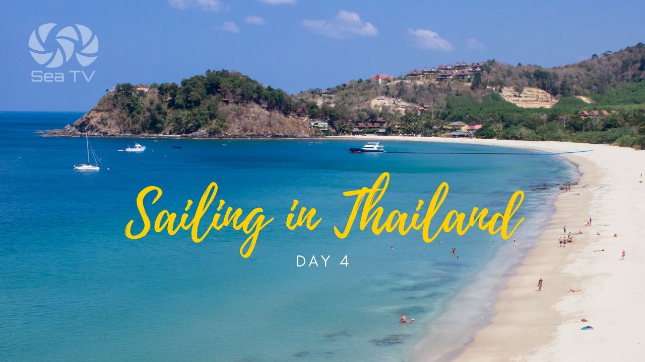
Day 4 — Ko Lanta & Kantiang Bay: Lanta W coast anchorages. See Ko Lanta · Klong Dao & Kantiang Bay.
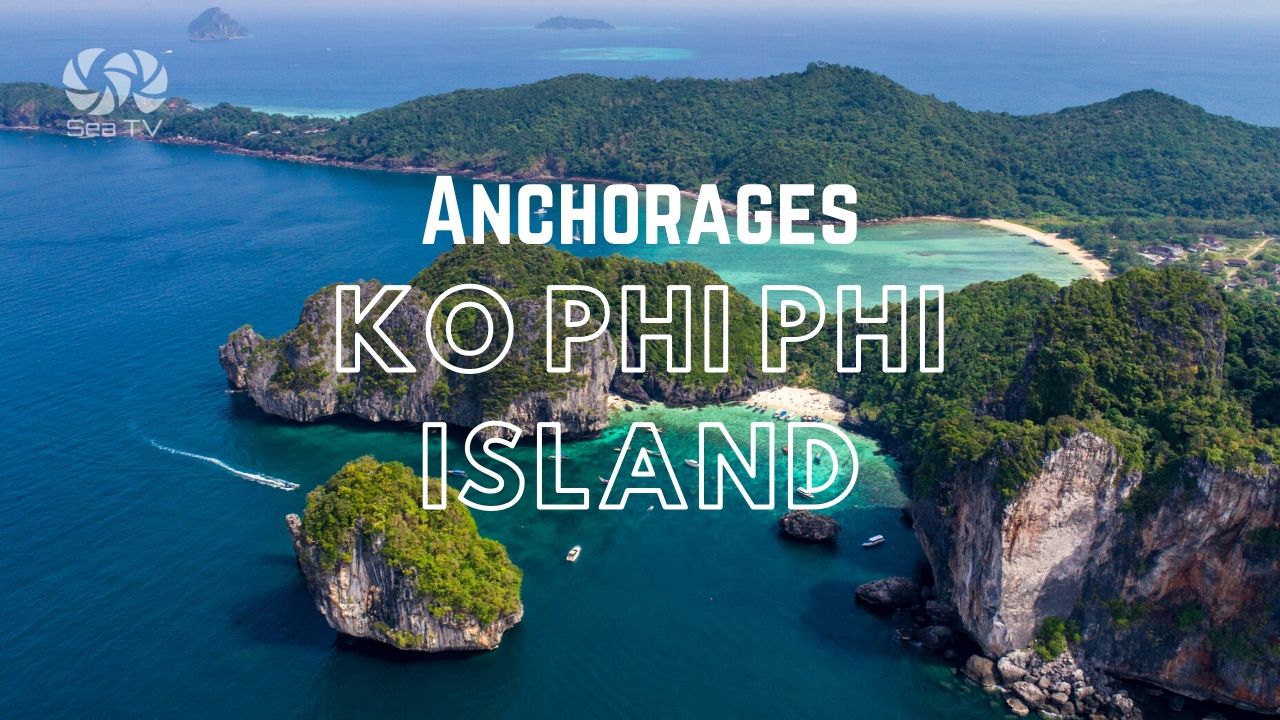
Day 5 — Phi Phi Don & Phi Phi Le: the headline islands of the Andaman. See Ko Phi Phi Don and Ko Phi Phi Le.
Day 6 — Bamboo Island & return W: dawn run to Ko Mai Phai then NW back to Phuket. See Ko Mai Phai & Lanah Bay.
Emergency Numbers — Phang Nga & Krabi
Tourist Police (24/7, English): 1155
Marine Emergency & SAR: 1196
Coastguard Distress: VHF Ch. 16
Yacht Haven Marina (Ch 68): +66 76 397 908
Ao Phang Nga National Park HQ: +66 76 481 188
Krabi Hospital: +66 75 611 200
Ao Nang Hospital: +66 75 695 999
Useful Links
→ Ao Phang Nga National Park (DNP)
→ Hat Noppharat Thara – Mu Ko Phi Phi NP (DNP)
→ DNP National Park e-Ticket System
Related SeaTV Pages
Endpoints of This Route
→ Phang Nga Bay · Ko Phanak, Ko Hong, Ko Roi, Ko Kudu Yai (departure)
Continuing S
→ Ko Dam Khwan · Chicken Island
→ Ko Lanta · Klong Dao & Kantiang Bay
Hub & Recommendations
→ Phuket Yacht Haven Marina (charter base)
→ Top Sailing Places in Thailand · SeaTV Picks
Sailing Phang Nga to Krabi?
~25 NM SE · ~5 hours under sail · two National Park boundaries · Ko Yao channel needs the right tide · the open SE leg gets the speedboats. Anchor by 16:00 · Klong Muang for the lunch stop · Ao Nang for the night.
“Twenty-five nautical miles southeast from the limestone karst islands of Phang Nga to the Krabi mainland · the Day 2 transit on the Andaman charter circuit. Down the east coast of Ko Yao Noi · through the channel between the two Ko Yao islands if the tide is over half a metre above your draft, around the eastern side if it isn’t · lunch on a mooring buoy at Ko Ka or anchored at Ko Pak Bia · then eleven nautical miles open water across to Klong Muang for the lunch break or Ao Nang for the night. Three hundred Thai baht park fee leaving Phang Nga · four hundred Thai baht entering the Phi Phi park territory · keep both receipts. Watch the fish nets · watch the speedboats · anchor before sixteen hundred because night sailing is forbidden in Thai waters and the daylight ends at six in the evening sharp.”
— SeaTV Visual Pilot · Andaman Coast Edition