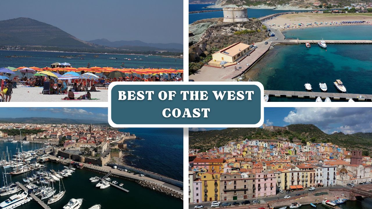
Gallery

Chart
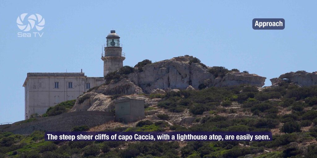
 Sailors tips
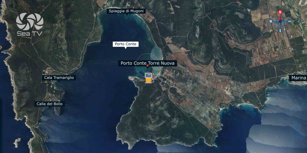
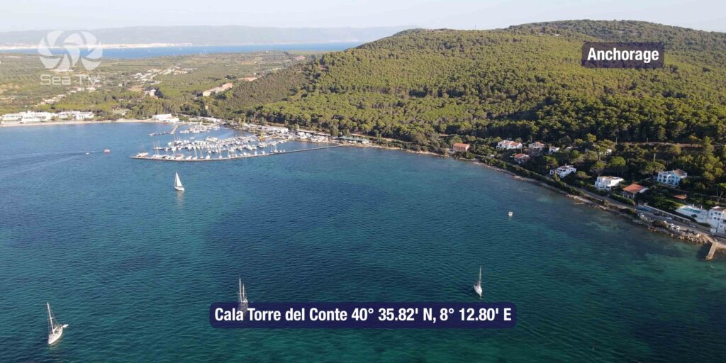
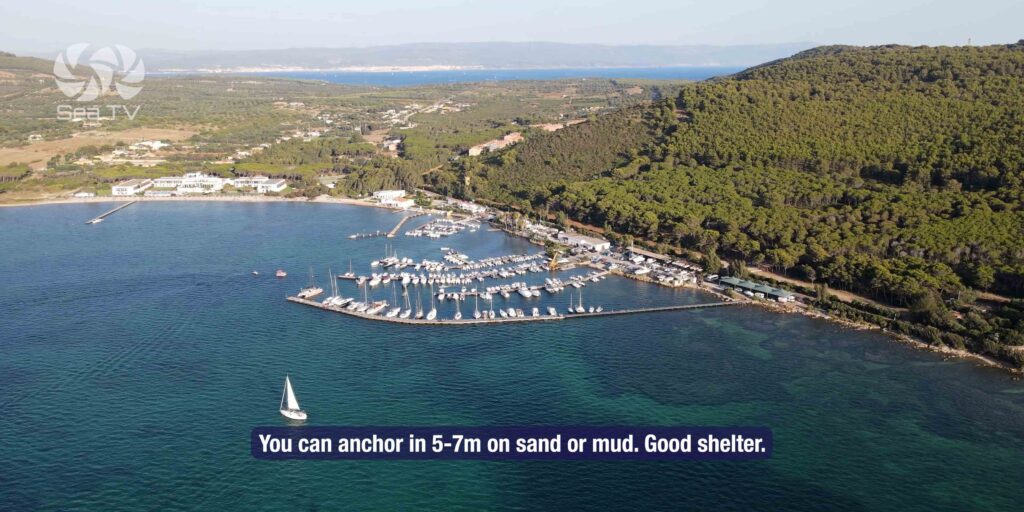
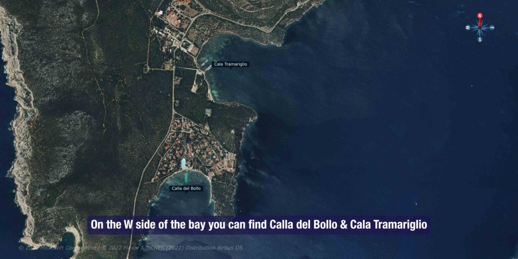
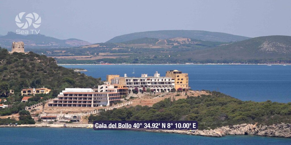
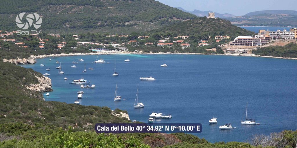
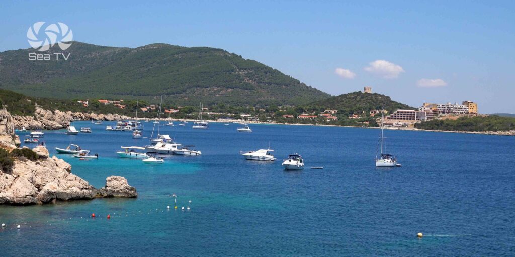
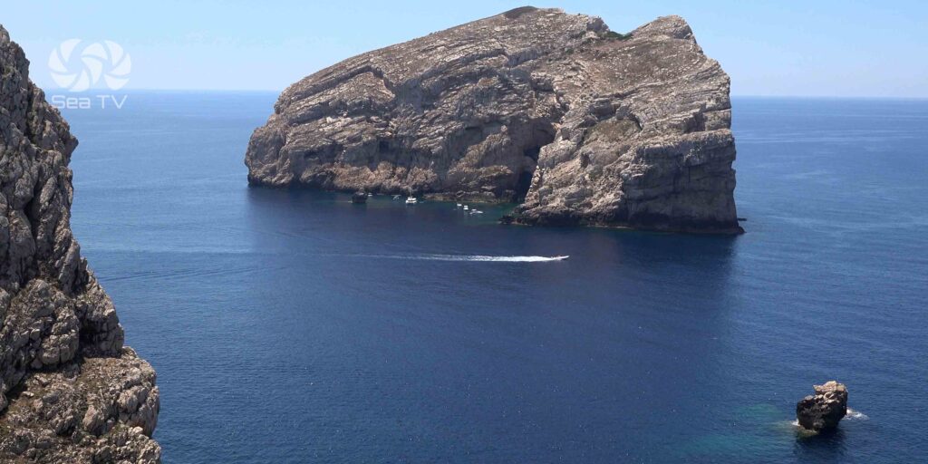
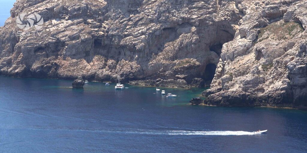
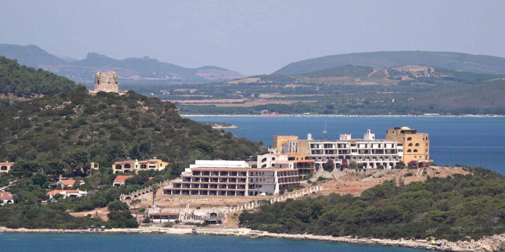
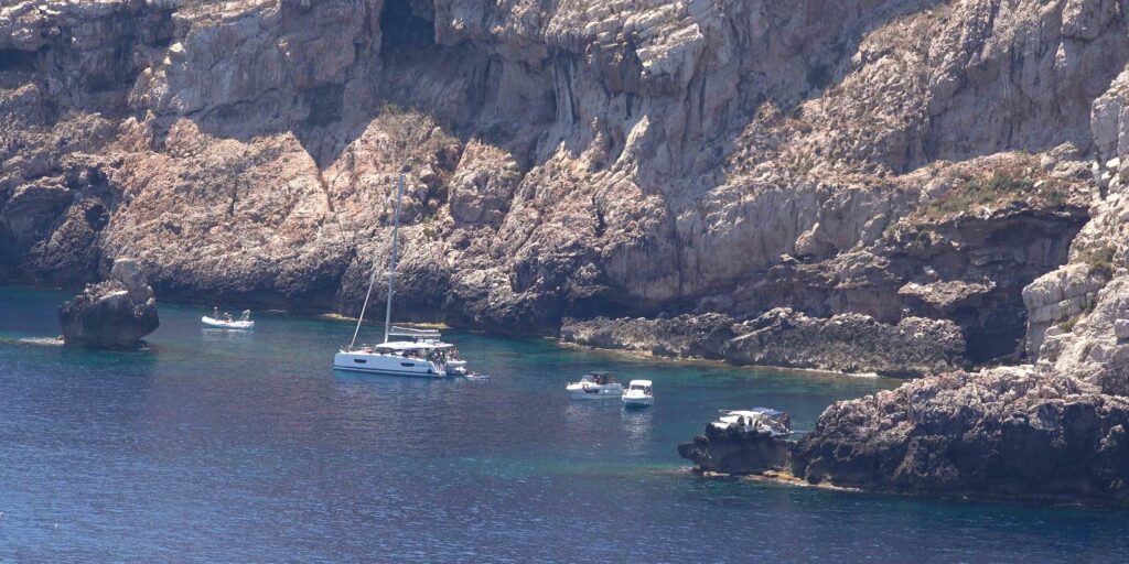
In calm weather, you can anchor somewhere in the bay. But note-
Strong gusts are often off the high ground on the W side of the bay and cause a swell during that weather the best anchorage is at Cala Torre del Conte.
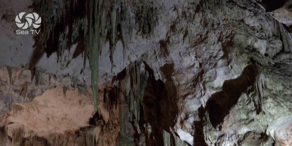
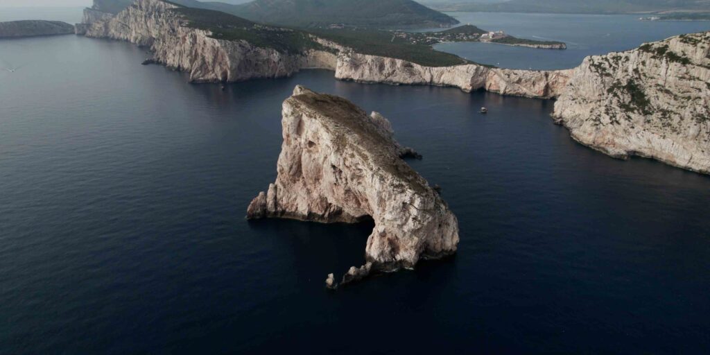
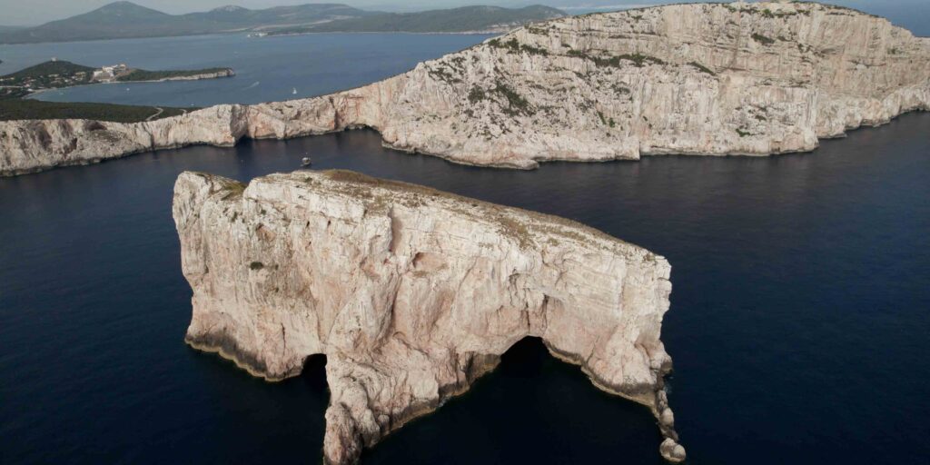
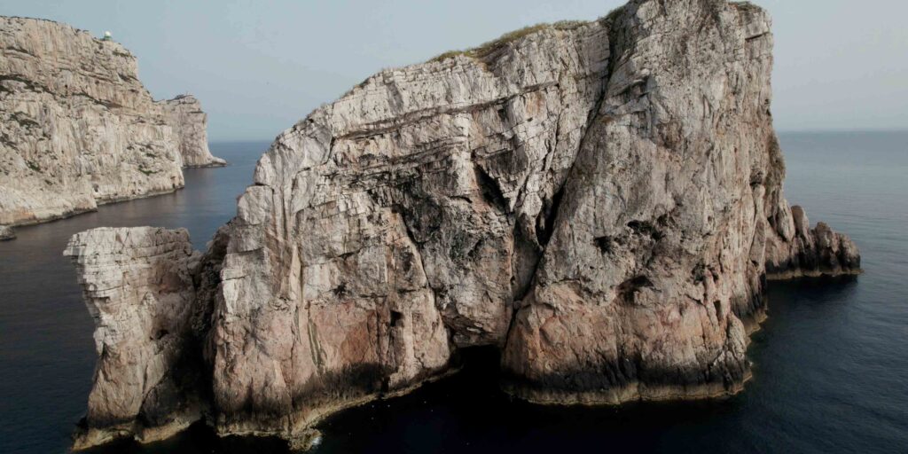
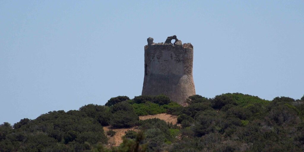
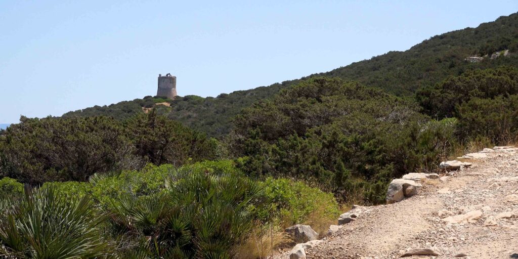
PORTO CONTE PARK ECOMUSEUM
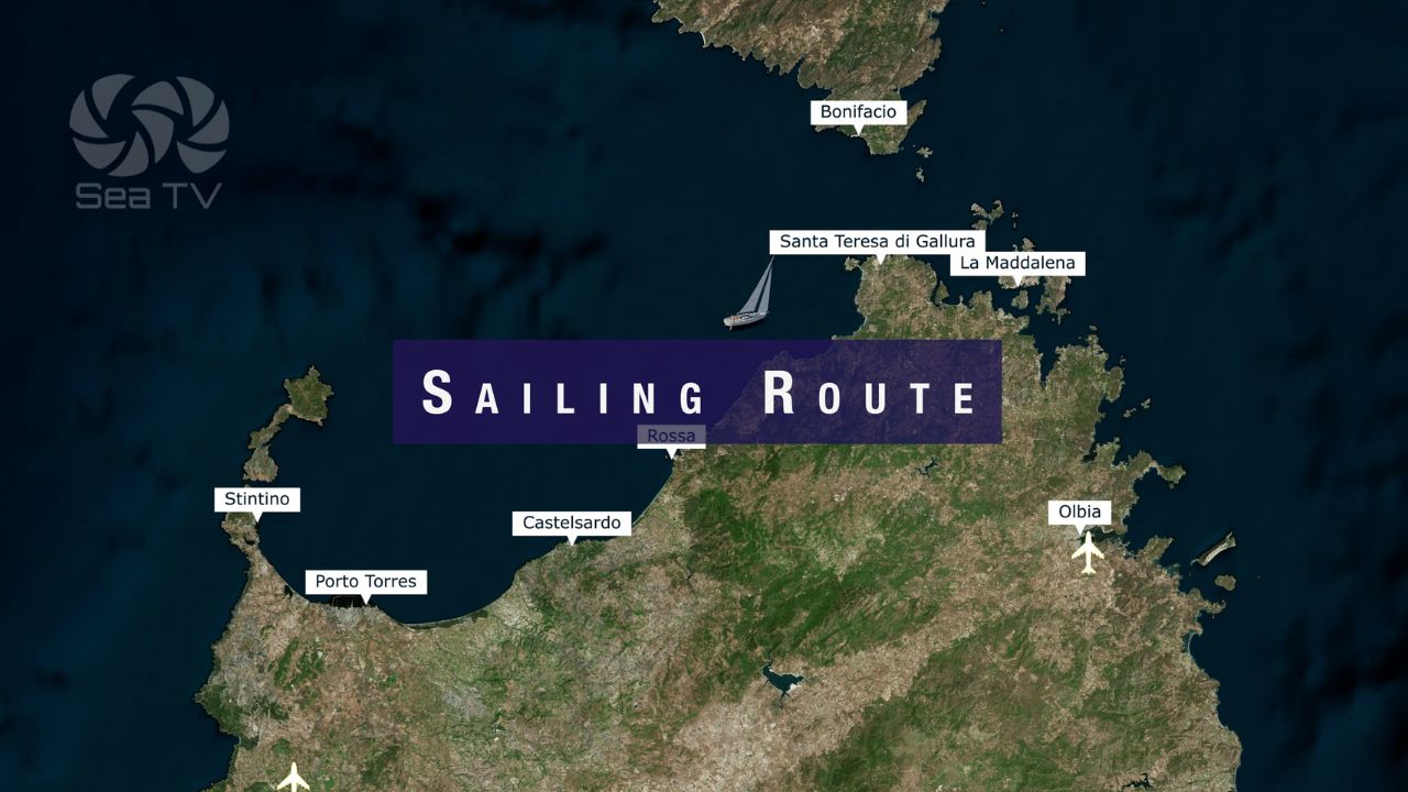
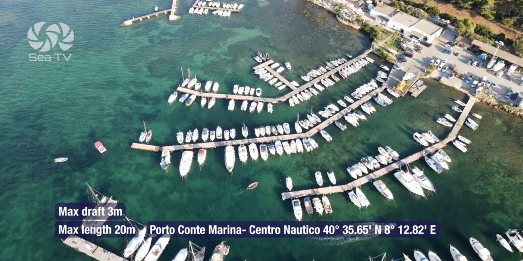
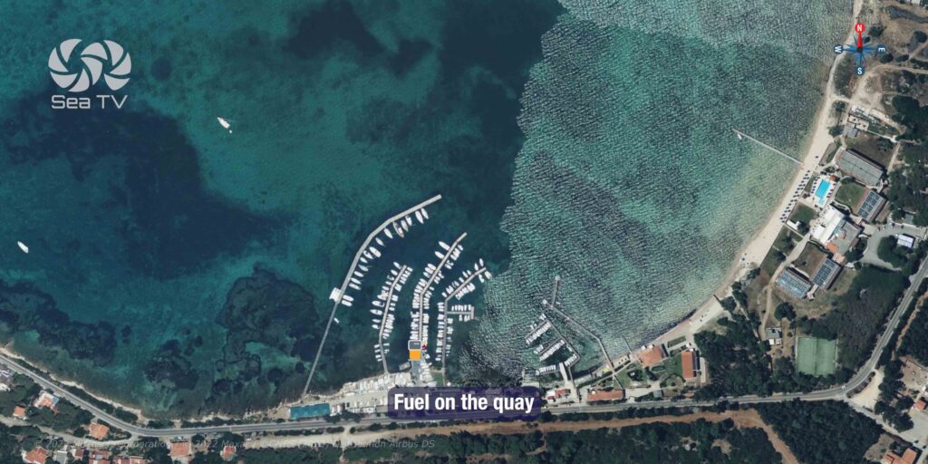
Docking & Anchorages
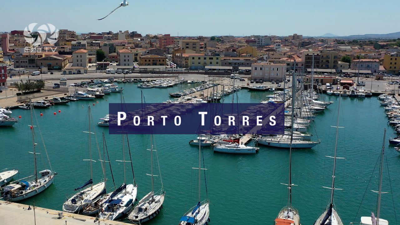
Porto Torres
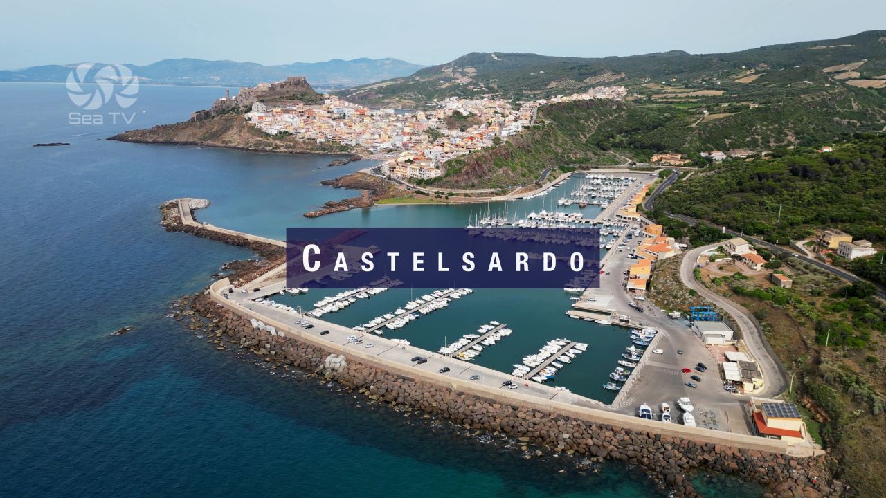
Castelsardo
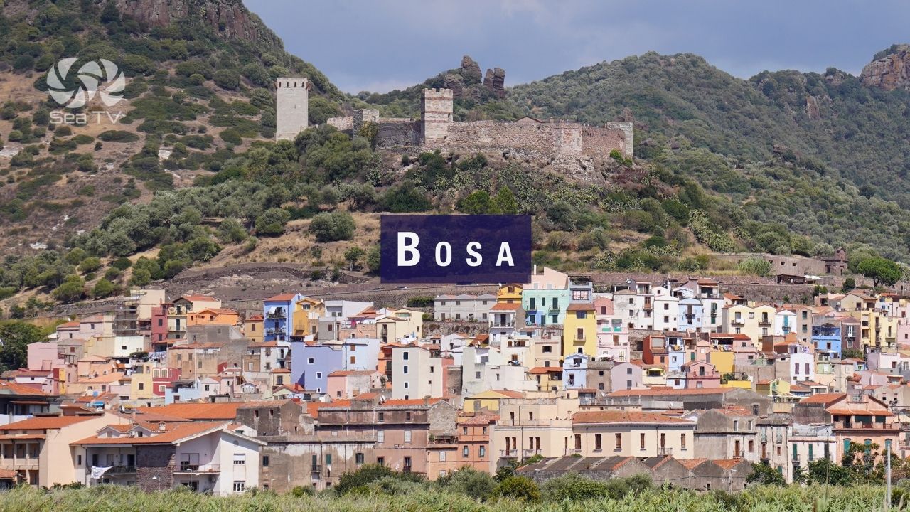
Bosa
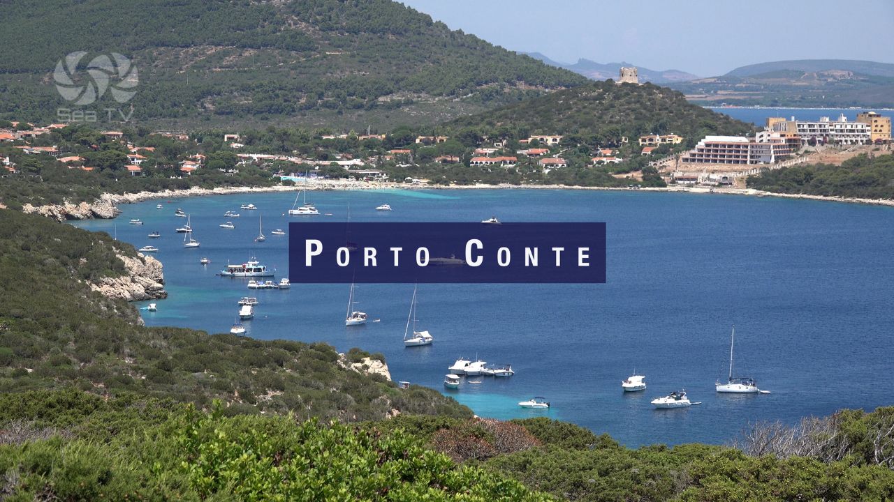
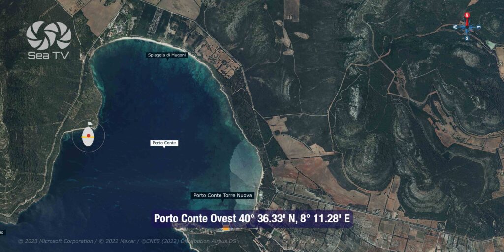
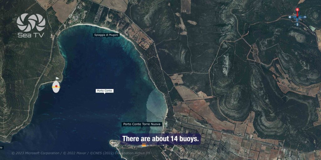
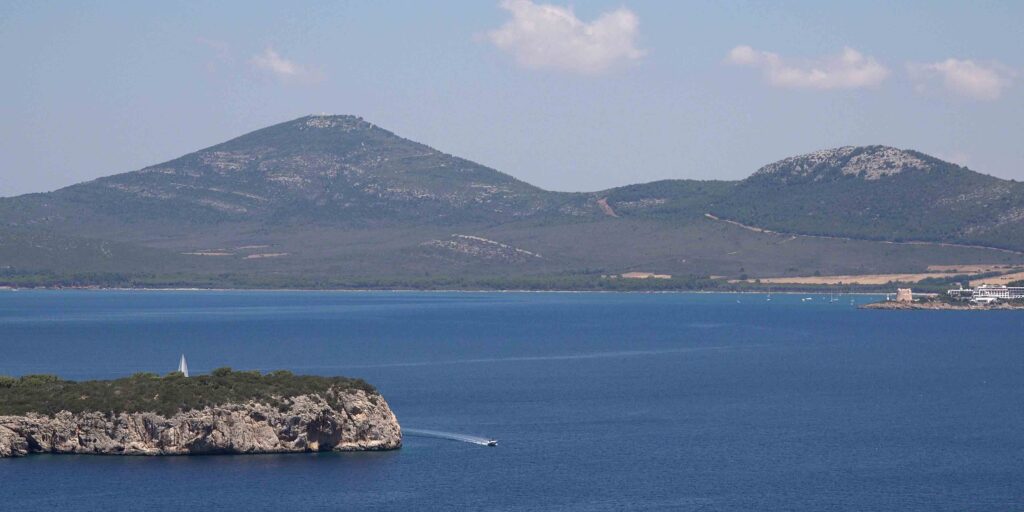
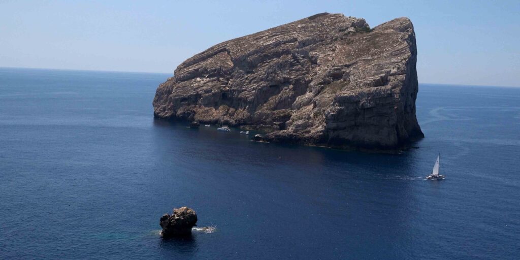
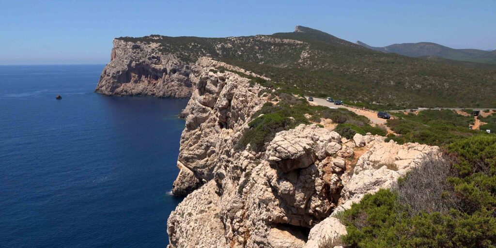
Porto Conte
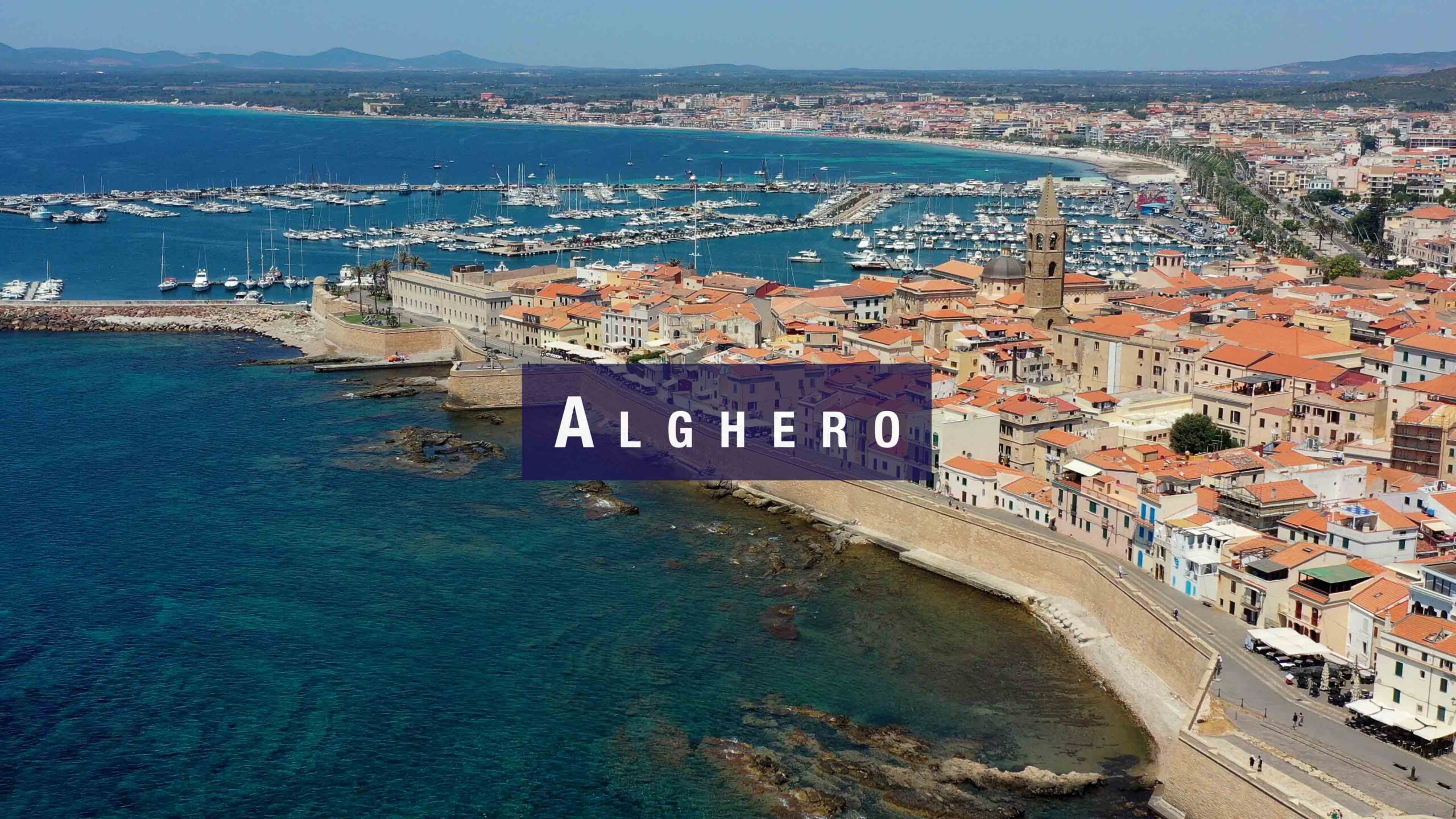
Alghero
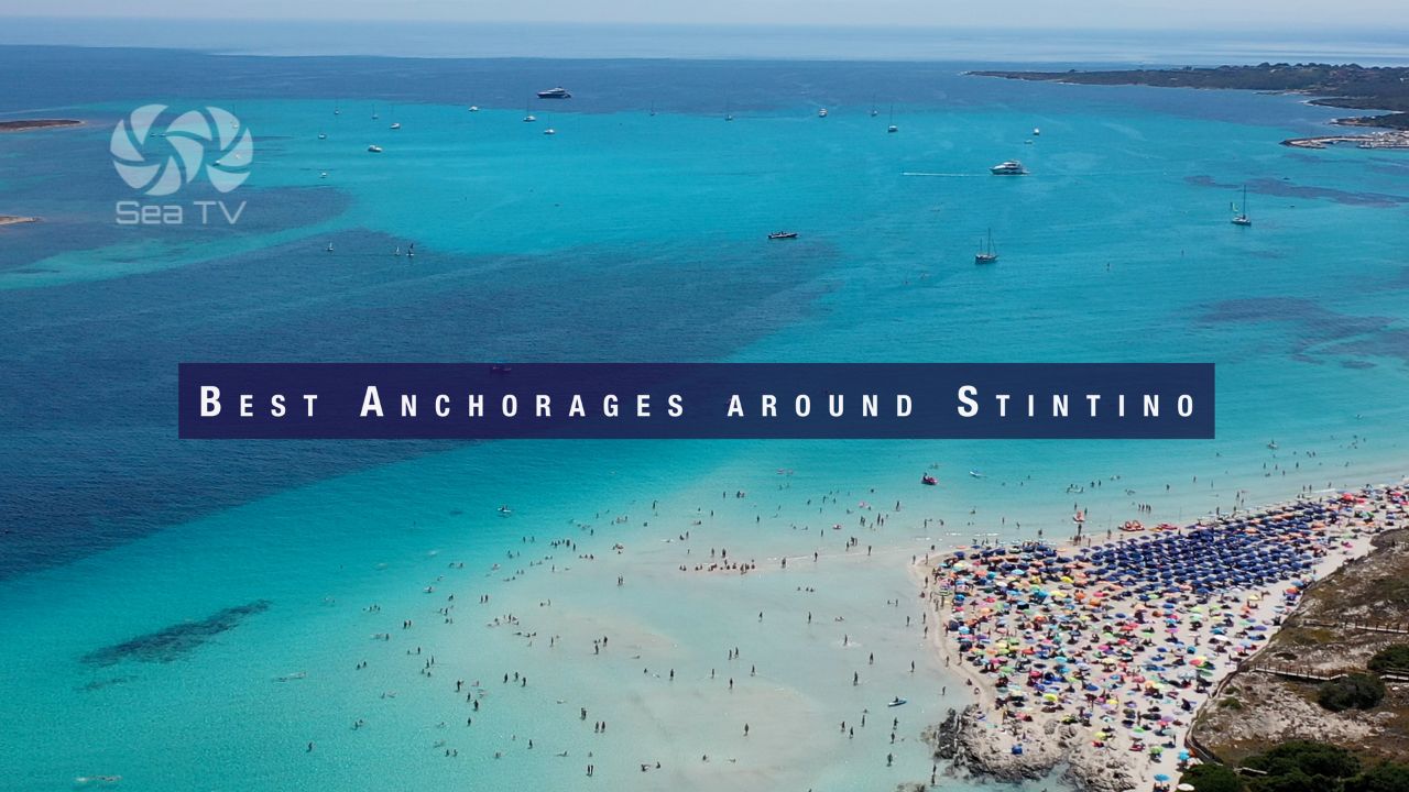
Best Anchorages around Stintino
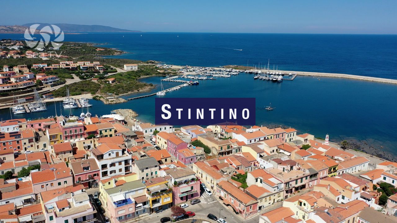
Stintino
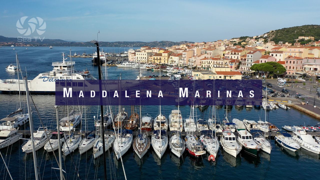
Where to Dock? Marinas la Maddalena
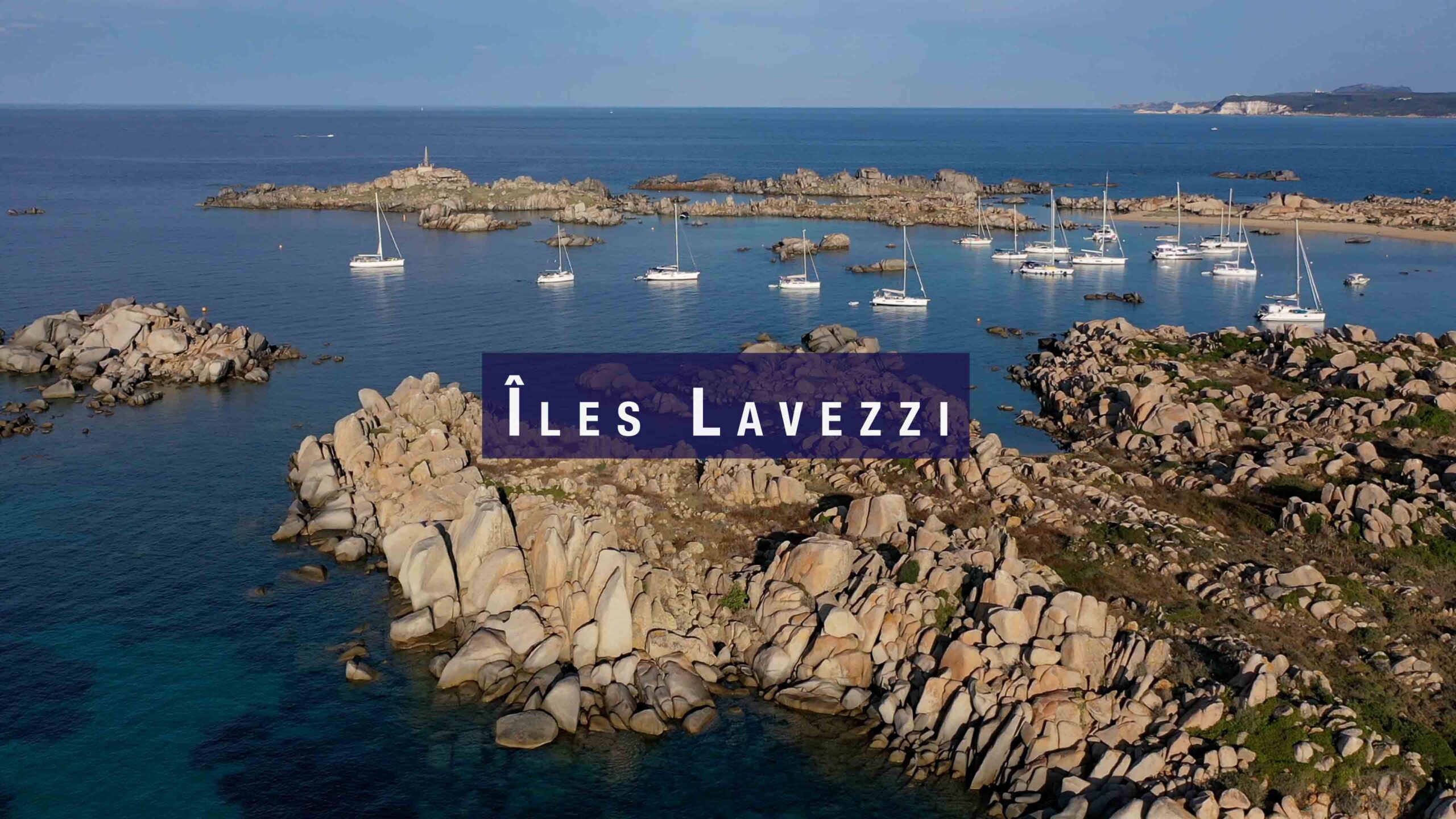
Îles Lavezzi
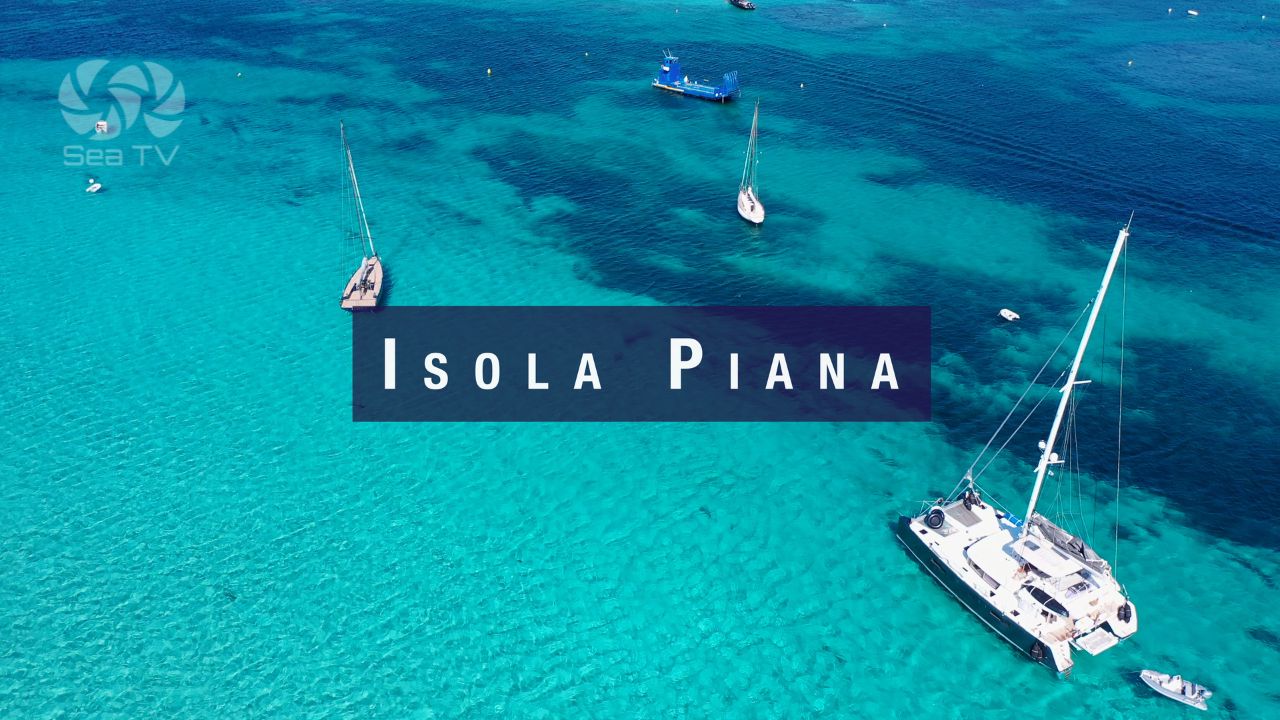
Isola Piana - The Best Day Anchorage
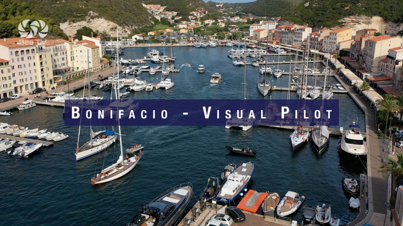
Marina Bonifacio
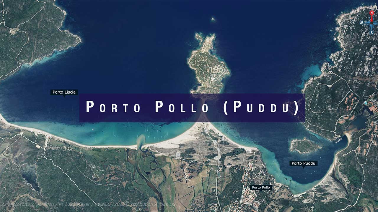
Porto Pollo (Puddu) best anchorage for surfers
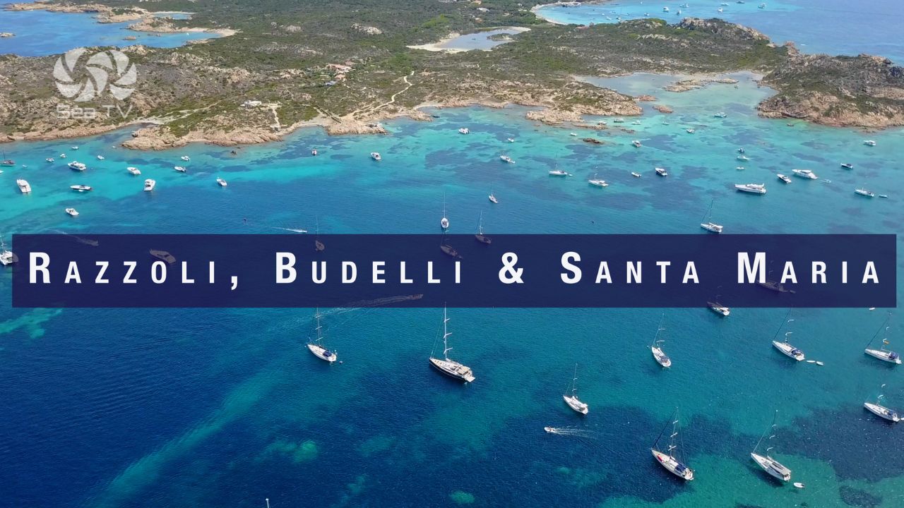
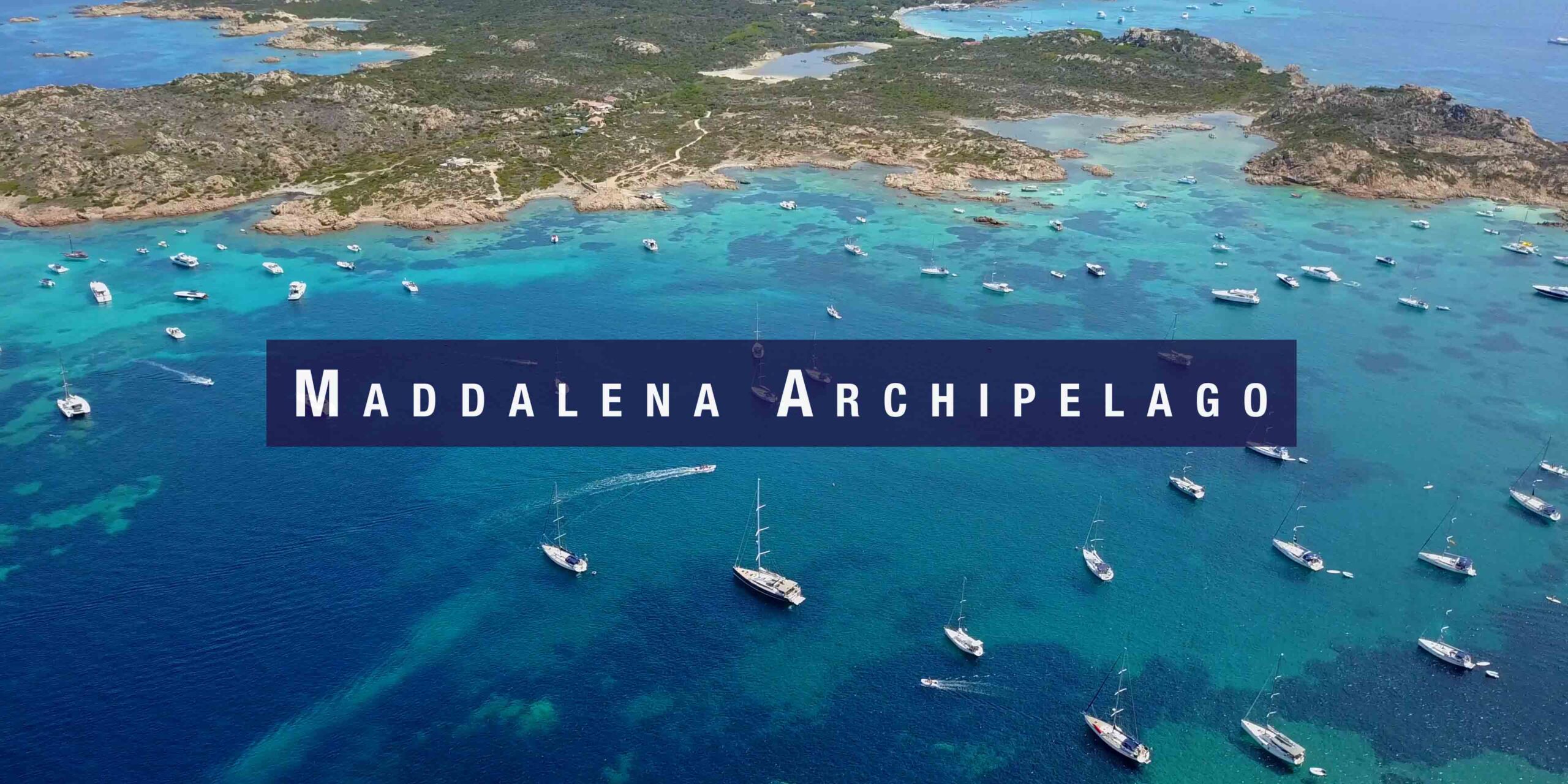
Razzoli, Budelli & Santa Maria islands maddalena : Best anchorages
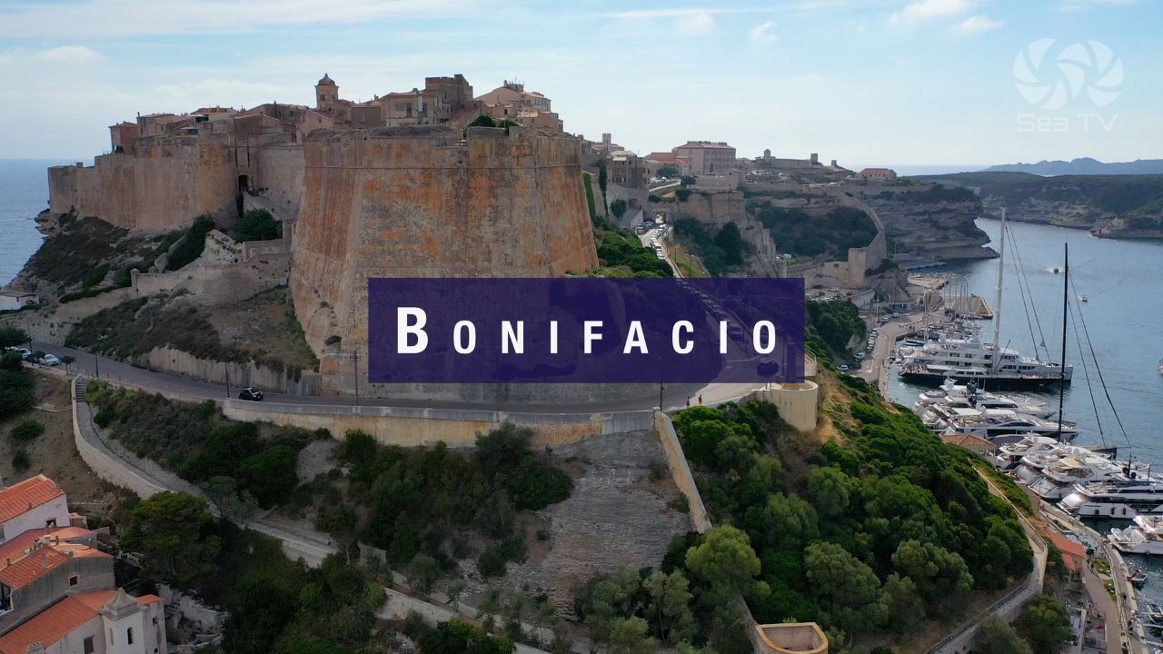
Bonifacio
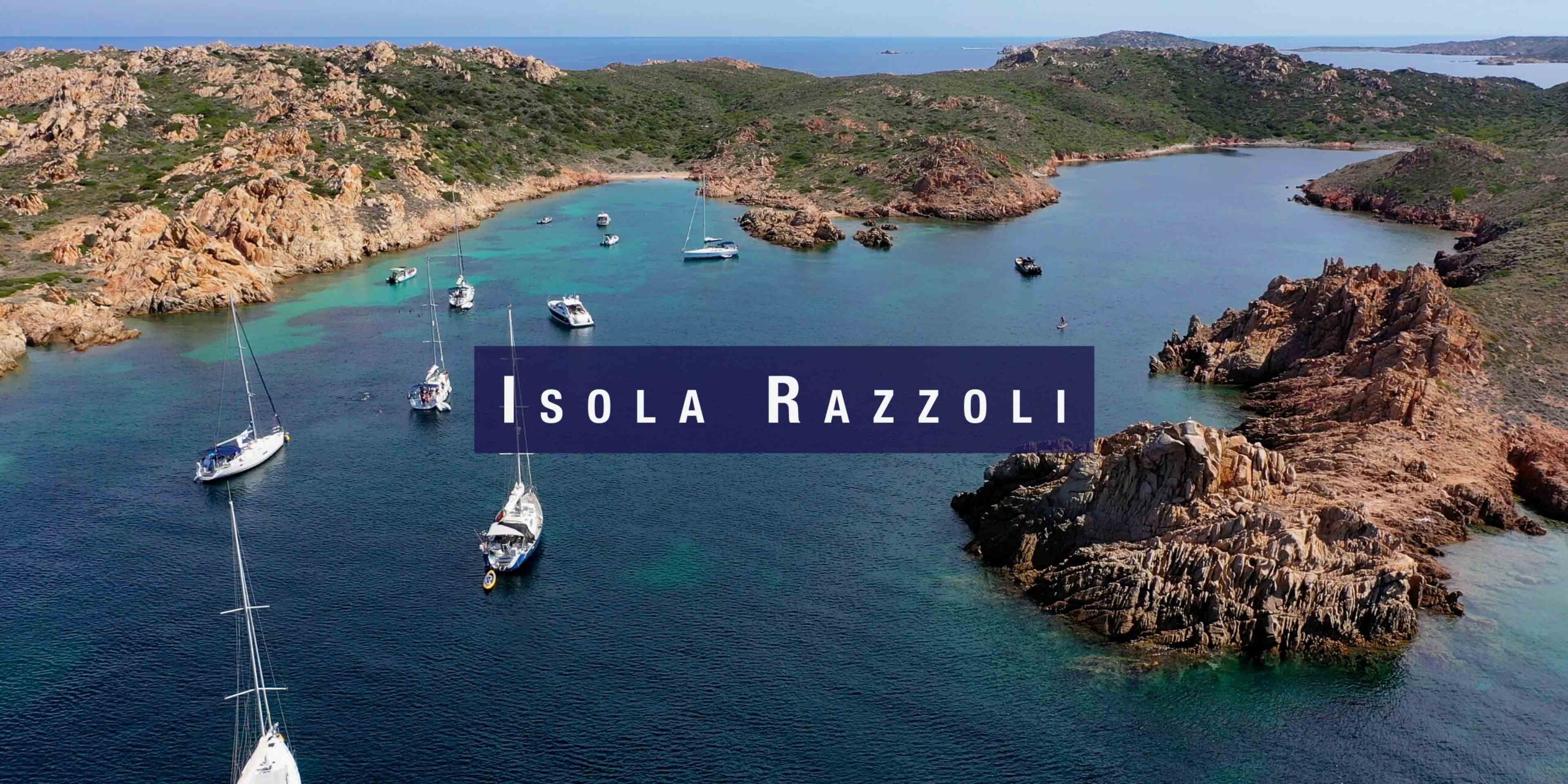
Isola Razzoli Maddalena Archipelago
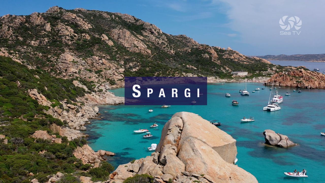
Best anchorage Spargi La Maddalena Italy
Isola Rossa
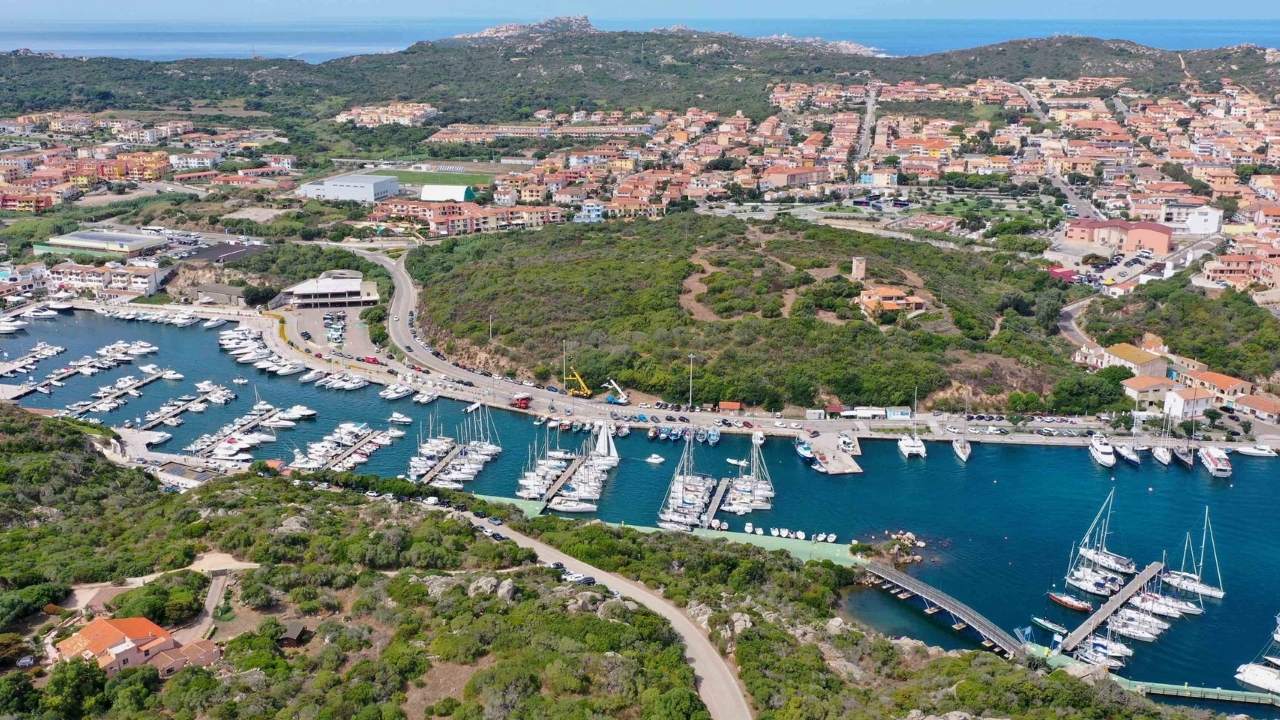
Santa Teresa di Gallura marina
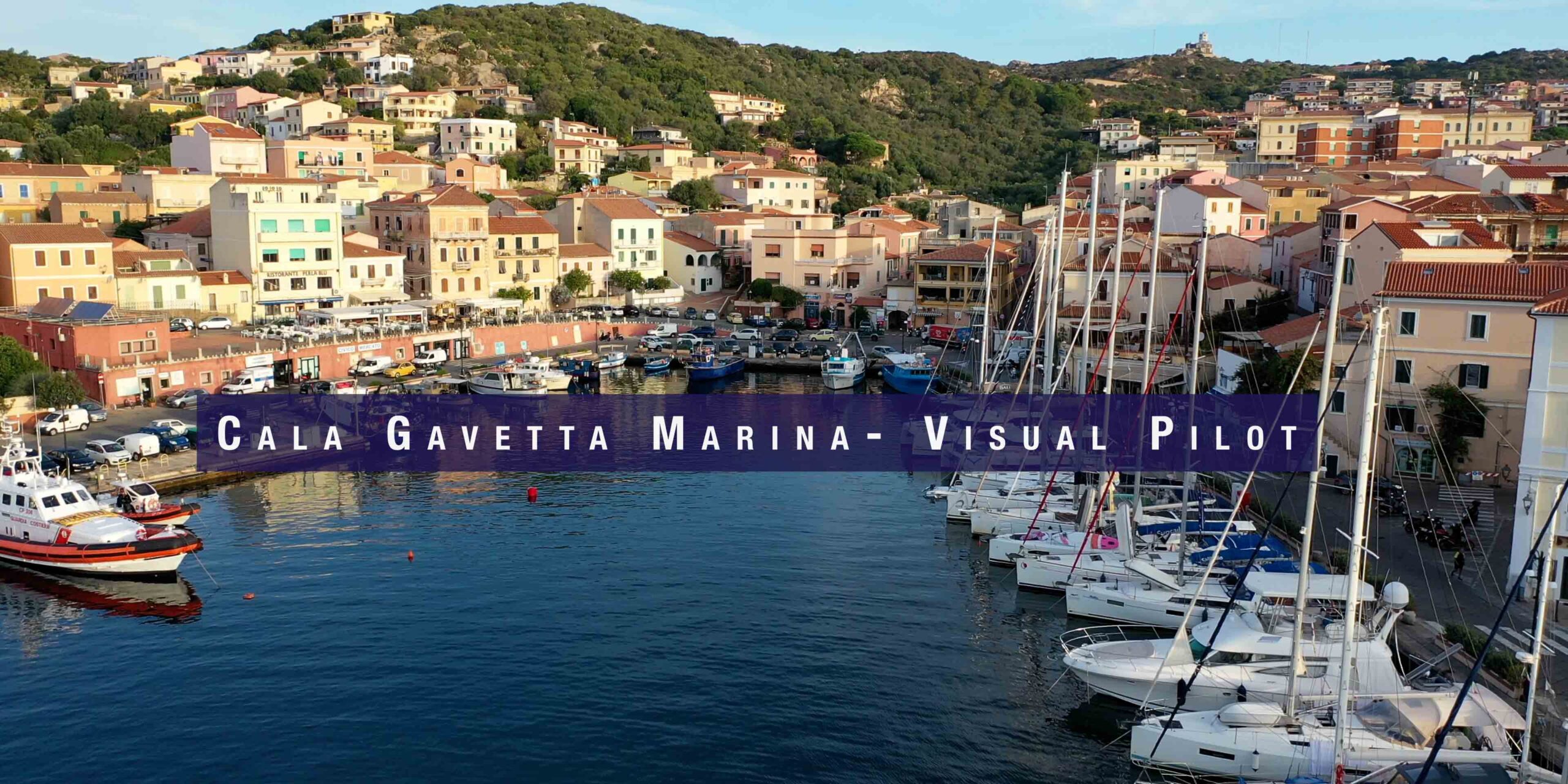
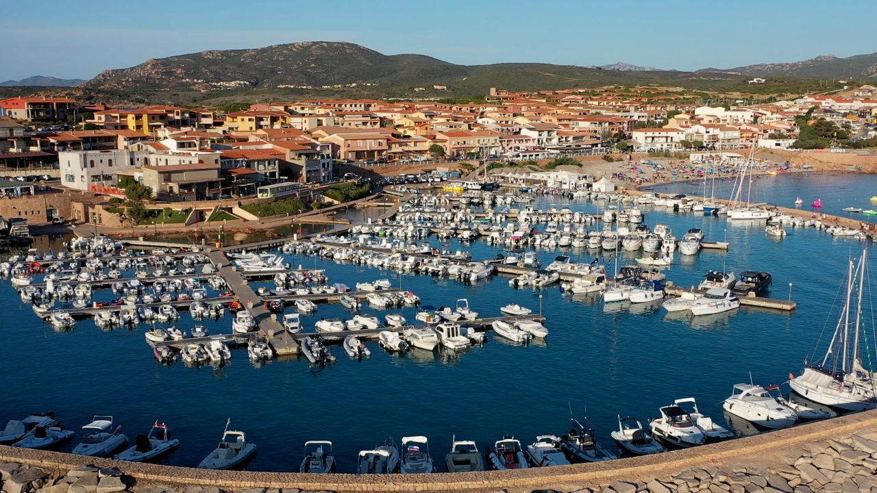
Cala Gavetta Marina la Maddalena Sardinia
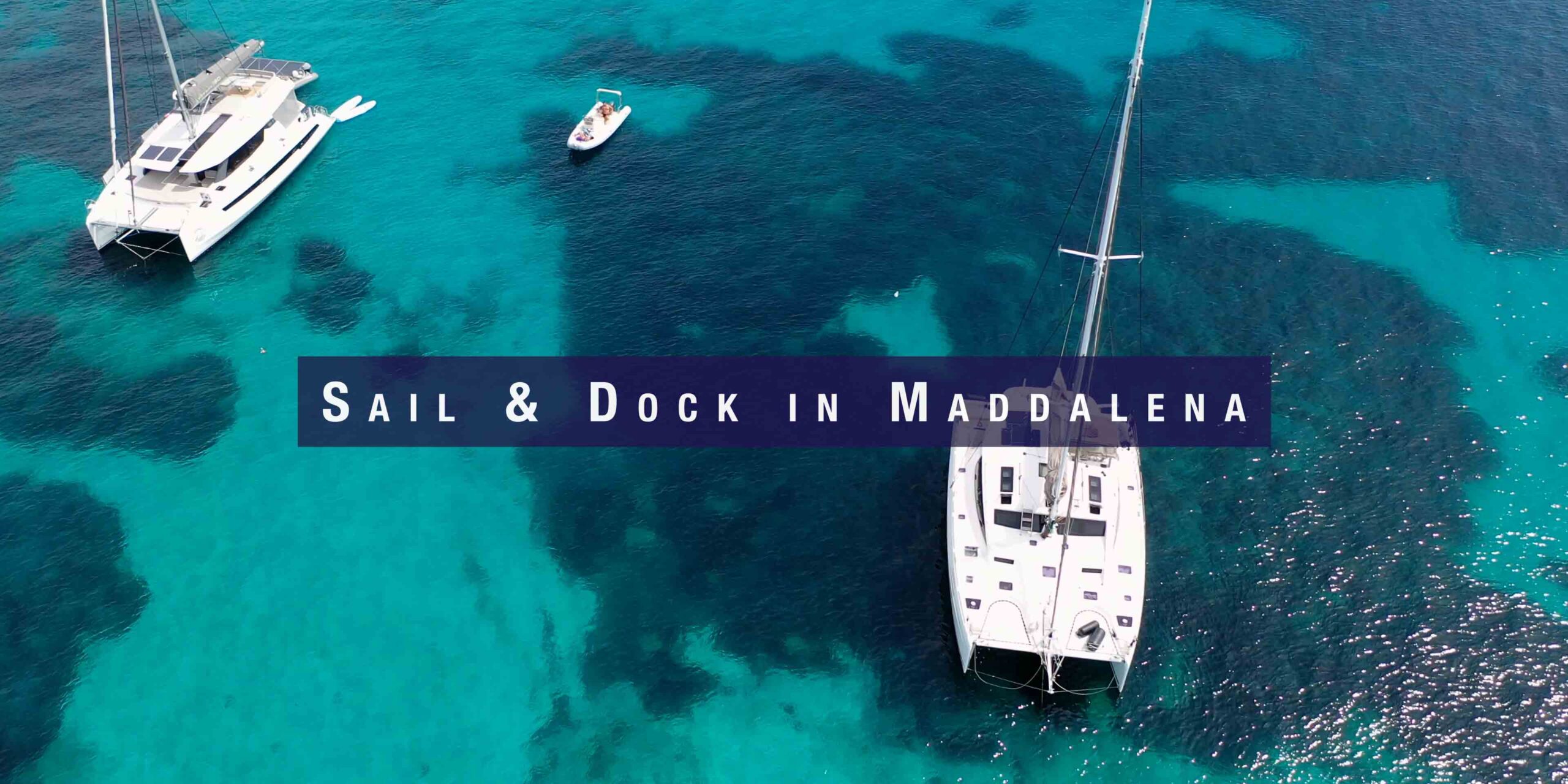
Sail & Dock in Maddalena Island Gavetta marina
Best places to sail in sardinia - la maddalena