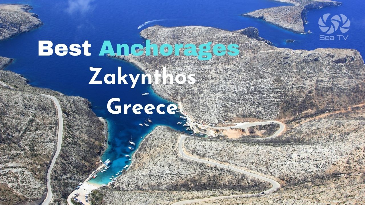
SeaTV · Ionian Islands · Zakynthos Overview
Sail & Anchor Around Zakynthos — Island Overview
The southernmost of the Ionian islands — a circuit of dramatic west-coast cliffs, a turtle-protected south bay, the working main port on the east coast, and the Blue Caves on the northern tip.
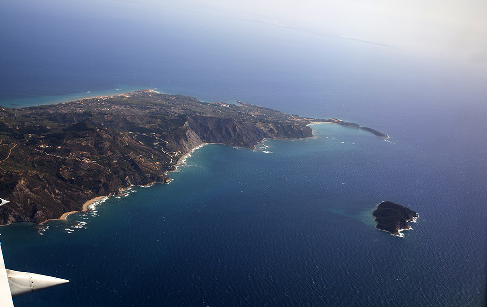
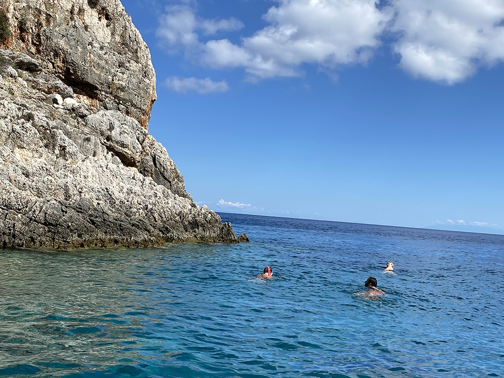
Zakynthos (also called Zante) lies south of Kefalonia — the southernmost of the Ionian Islands and the natural southern endpoint of any Ionian charter. The east coast is gentler, with the main town and port; the west coast is cliffs and caves, exposed to the open sea; the south is the protected marine park where loggerhead turtles nest; the north tip is the famous Blue Caves.
For sailors, Zakynthos rewards a careful approach. The west coast is striking but exposed and unsuitable for overnight stays. The south coast is regulated under the National Marine Park rules from May to October. The main port has reef hazards and heavy ferry traffic on approach. Read the individual page guides linked below before committing to any specific anchorage — the spectacular options here all have specific catches you need to plan around.
⚠ Reality check: Zakynthos is geographically isolated from the rest of the Ionian. The shortest run north to Sami on Kefalonia is 25 NM across open water. Plan weather windows carefully — once you’re committed to Zakynthos for a few days, the only good shelter is Port Zakynthos.
⚓ Quick Facts for Sailors
Position
South of Kefalonia · west of Peloponnese
Circumnavigation
~50 NM around the island
Best Shelter
Port Zakynthos · Keri (NW–W only)
Marine Park
Lagana Bay · 1 May – 31 October
Coast Guard
VHF Ch. 12 · +30 26950 28117
Olympia Radio
VHF Ch. 03 / 86
Wind & Weather Patterns
Prevailing NW thermal
As across the rest of the Ionian, the dominant summer wind is a NW thermal — light morning, building from 13:00, peaking F4–F5 in the afternoon, dying off after sunset. Comfortable for east-coast cruising, harder work on the west.
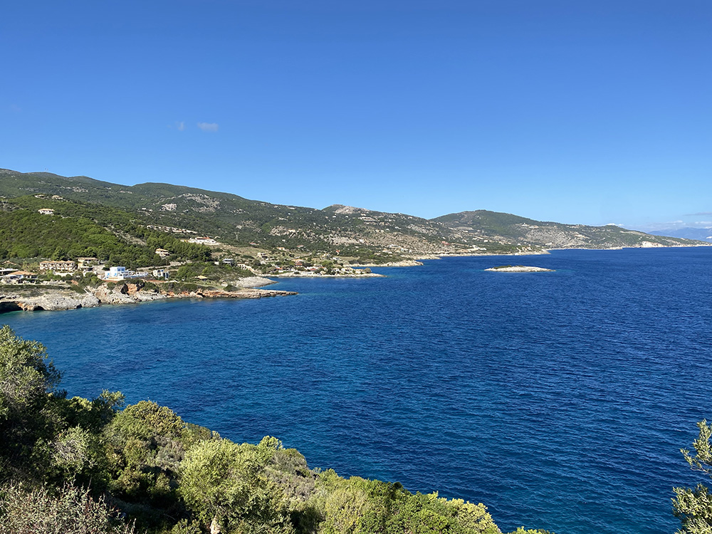
East coast — sheltered
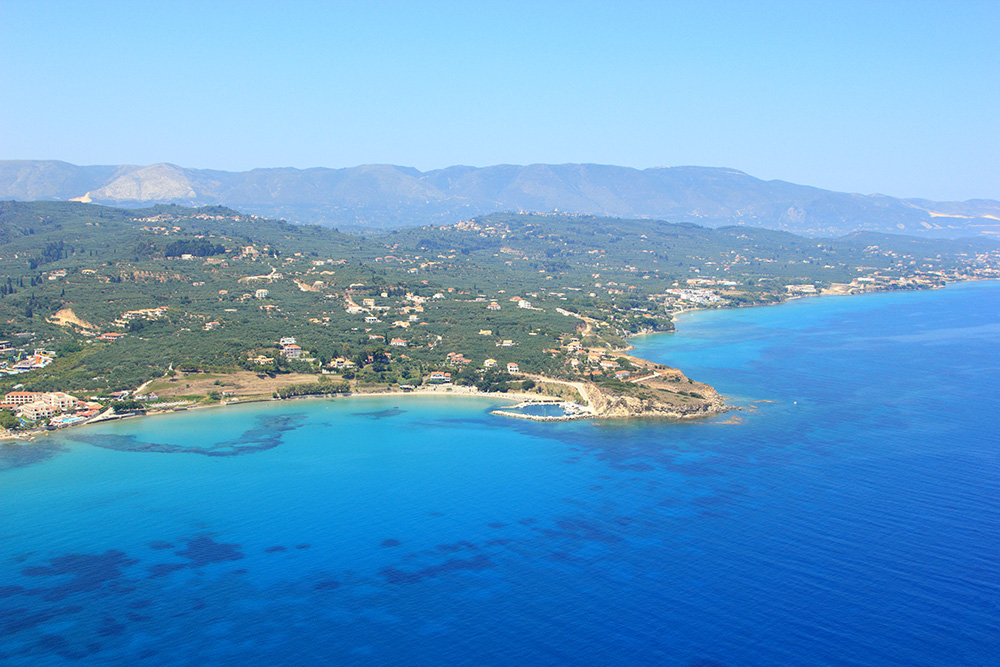
The east coast of Zakynthos is generally well-sheltered from the prevailing wind by the spine of the island. Standard cruising water — short hops between Port Zakynthos, Agios Nikolaos, and Keri.
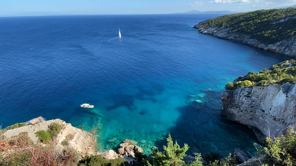
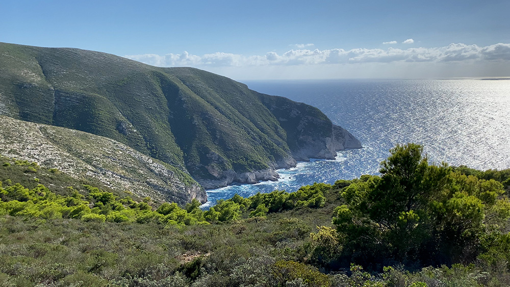
West coast — exposed
The west and northwest coast face the open Ionian Sea — nothing between this coastline and Italy. Porto Vromi and Shipwreck Beach are dramatic but vulnerable. Plan west-coast detours as morning calm-day trips — afternoon swell makes everything uncomfortable.
⚓ The Anchorages — Around the Island
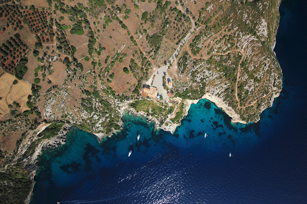
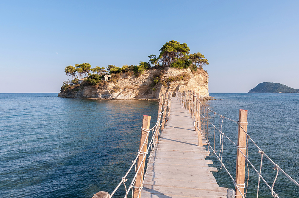
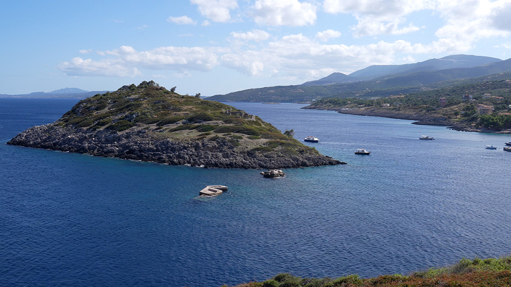
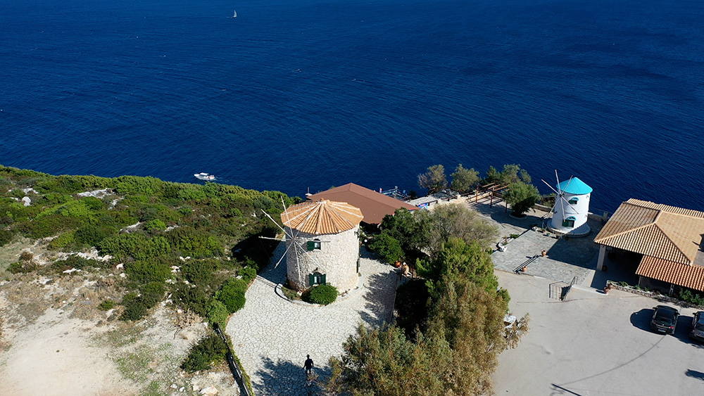
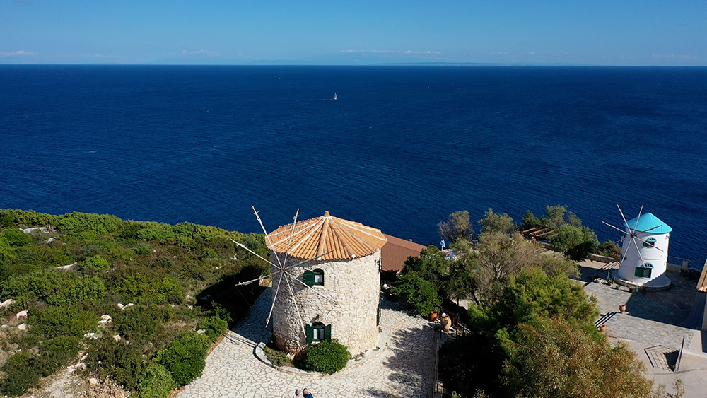
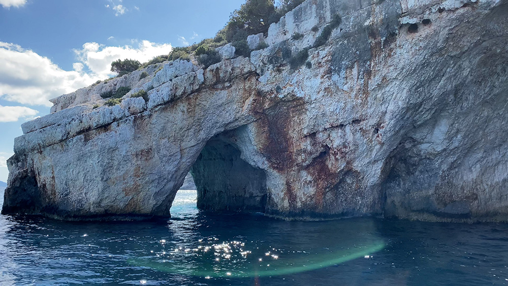
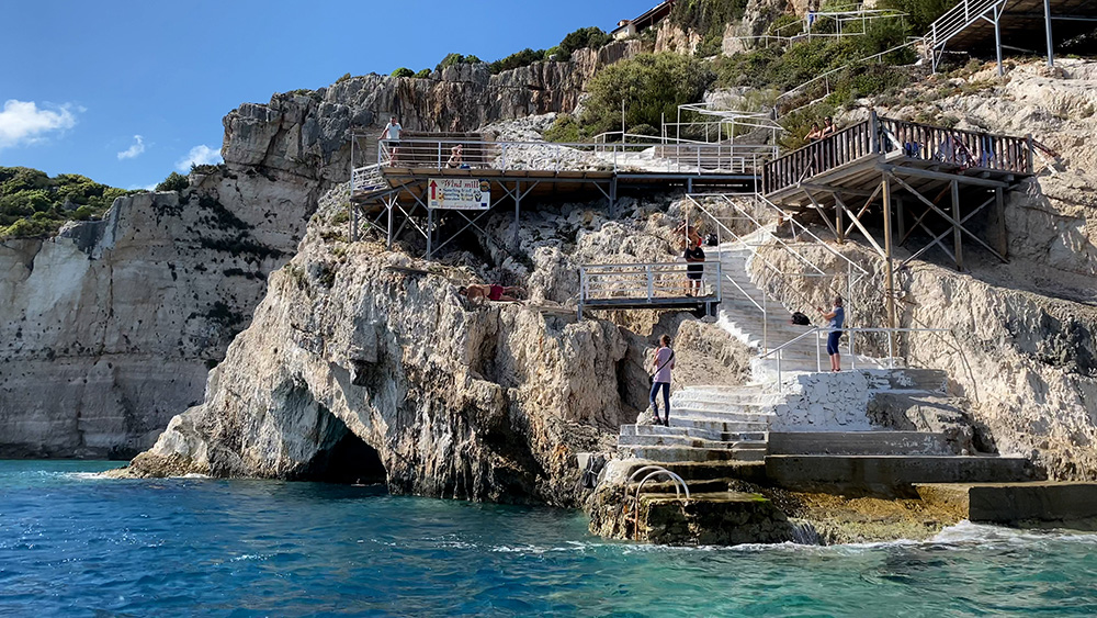
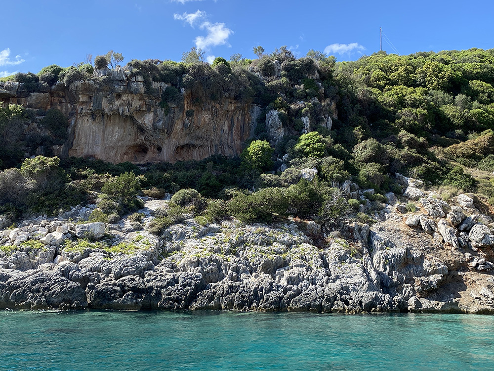
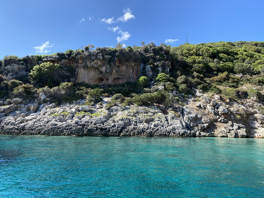
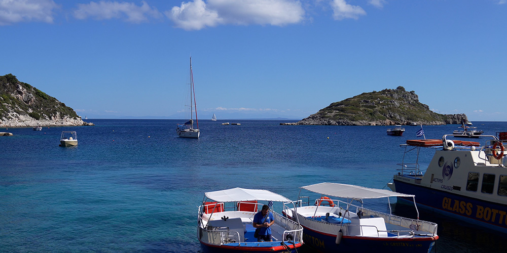
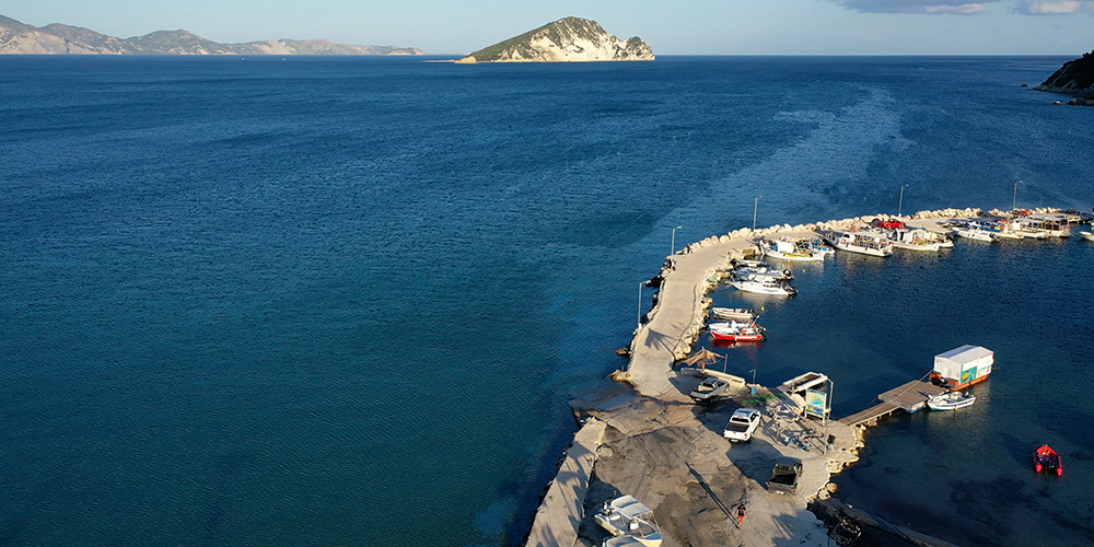
Northern Tip · 37°55.46’N · 20°42.20’E
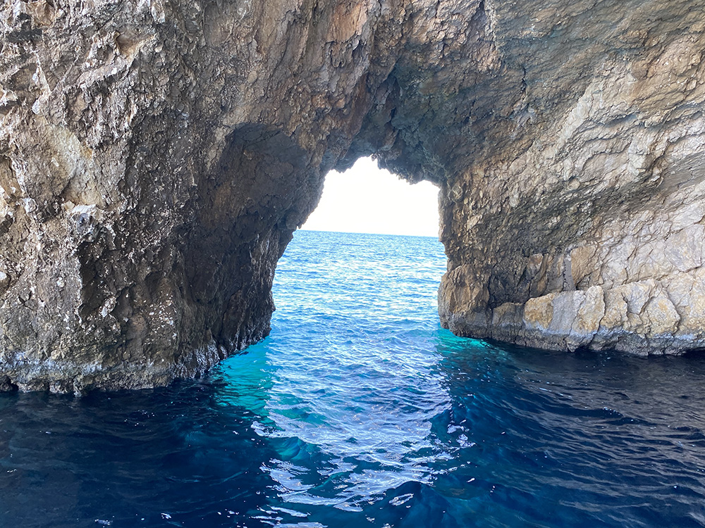
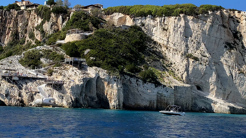
Blue Caves at Agios Nikolaos
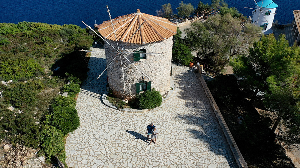
Spectacular cliffs and sea caves on the northern tip of Zakynthos. Anchor with a long line ashore in 7–9 m on sand at the southern corner. The bottom is sand. Trip-boat traffic is constant from mid-morning onward.
Recommended: Visit by dinghy from a temporary anchorage. Arrive at 08:00 for the best light and quiet water. Restaurant suggestion: Potamitis Windmill — a converted windmill taverna on the cliff above the caves with unmatched views. Accessible by road, not by boat.
Full guide: Agios Nikolaos & Blue Caves dedicated SeaTV page.
⚠ Watch: Up to 4 kn current SE of the islet. Reef & shoal water at the north entrance to Agios Nikolaos bay. Daytime visit only.
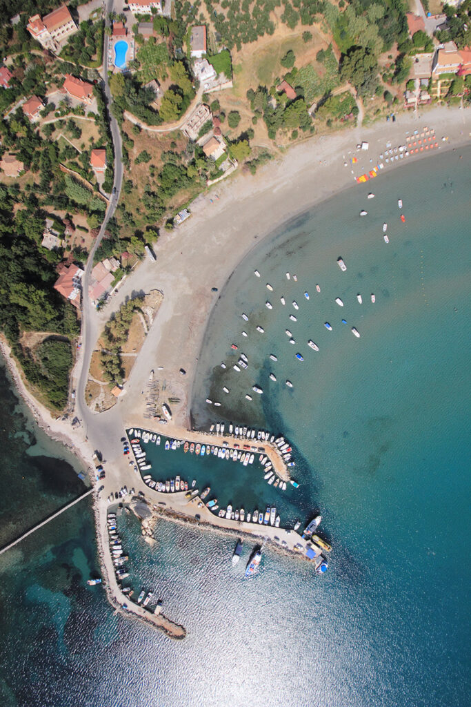
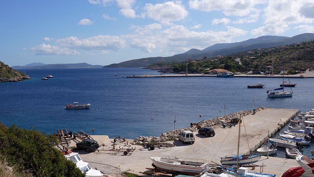
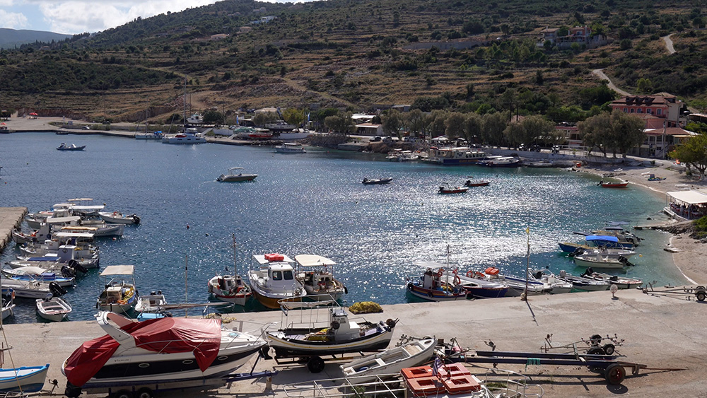
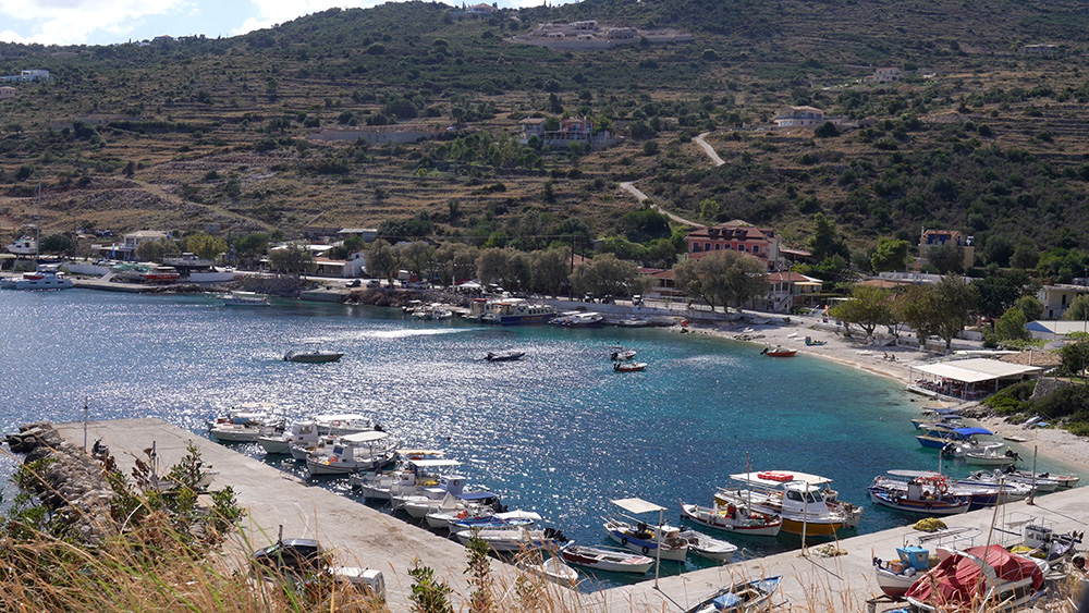
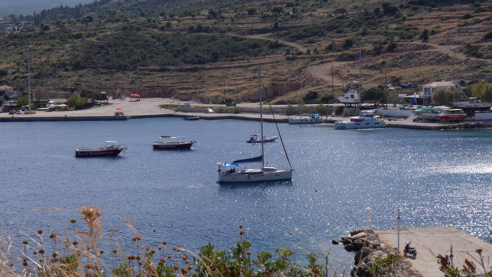
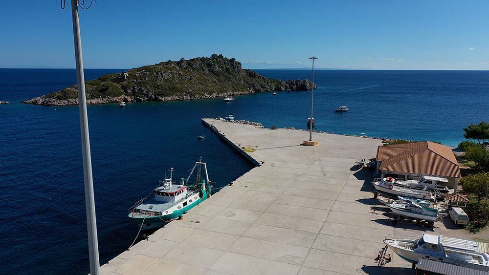
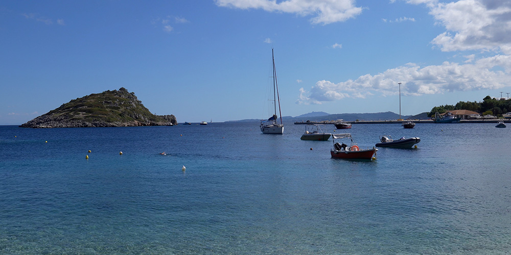
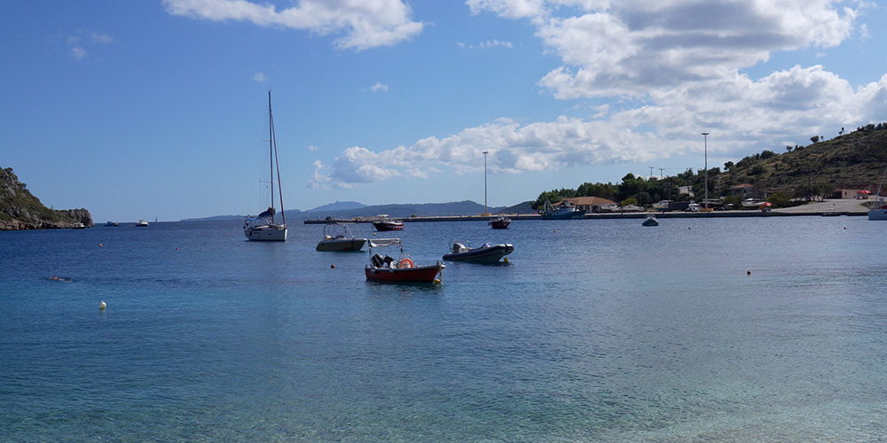
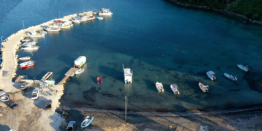
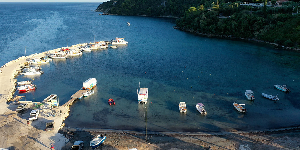
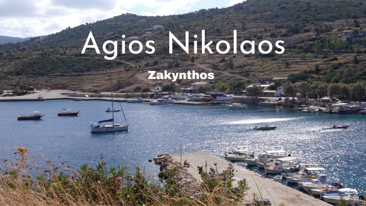
Northern Bay · 37°54.23’N · 20°42.26’E
Agios Nikolaos Bay
A small working harbour on the northern tip of the island. Stern-on either the south side of the bay or north of the ferry quay. Depth drops off quickly inside the bay — anchor with care.
Recommended: A small ferry quay with seasonal Pessada–Kefalonia connection. Restaurant suggestion: Waterfront taverna on the south side of the bay.
Full guide: See the Agios Nikolaos & Blue Caves page.
⚠ Watch: Trip boats, ferries, and swell make anchoring inside the bay uncomfortable. Water on the quay is not potable.
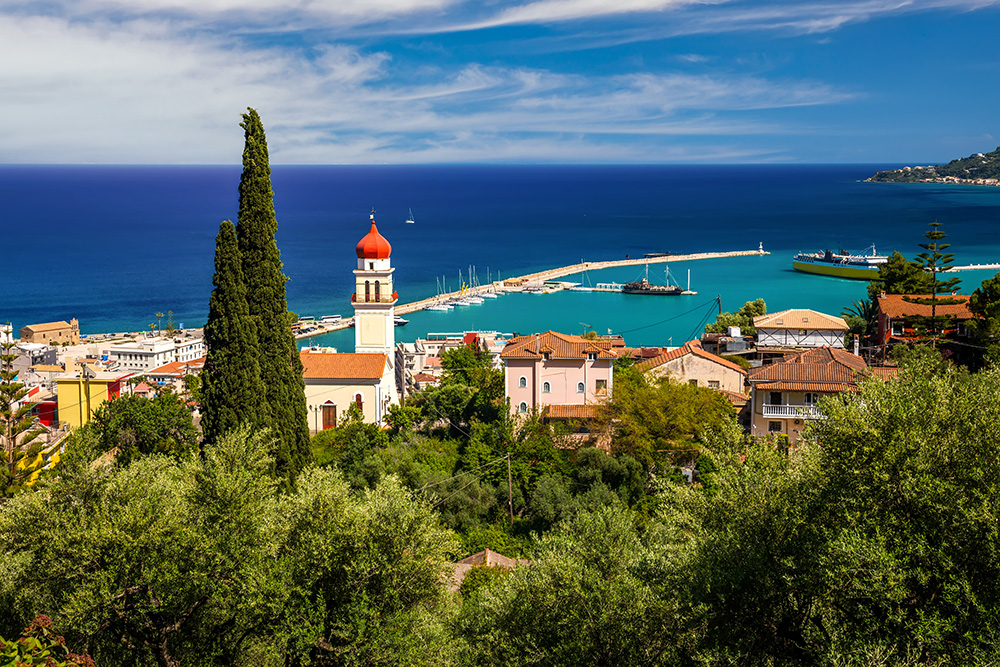
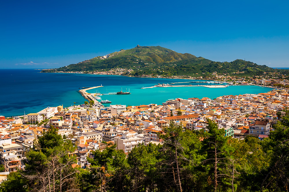
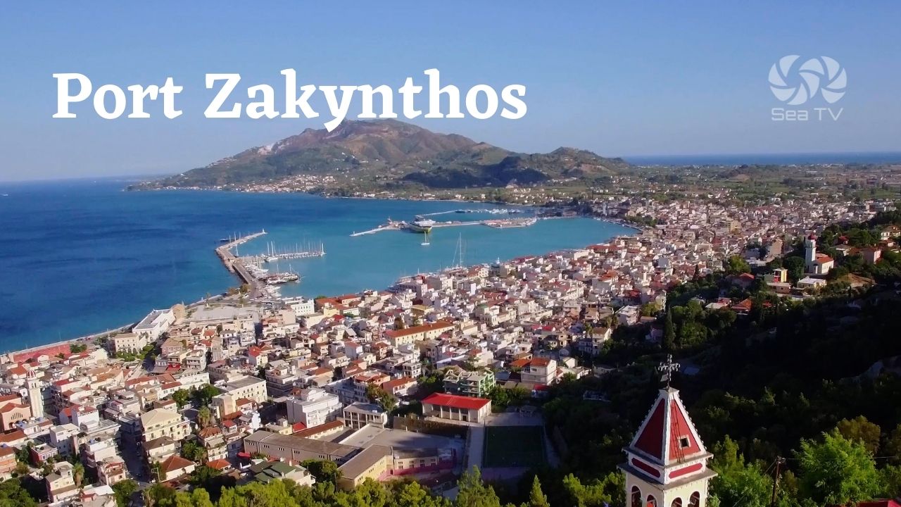
East Coast · 37°47.07’N · 20°54.03’E
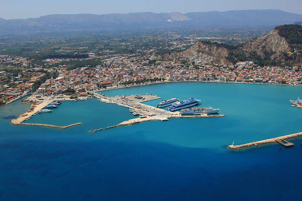
Port Zakynthos (Town)
Main town quay on the east coast — the official Port of Entry, full facilities, supermarkets, the only proper all-weather shelter on the island. Stern-to on the NE or NW (north half) quays.
Berthing: Bottom is mud, good holding. Anchoring inside the harbour is prohibited — must moor at the quay.
Full guide: Port Zakynthos dedicated SeaTV page with approach lights, fuel contacts, and detail on the reef and ferry hazards.
⚠ Watch: Reef & shoal water 900 m ESE of port entrance. Heavy ferry traffic on Ch. 12. Strong S winds bring surge into the harbour.
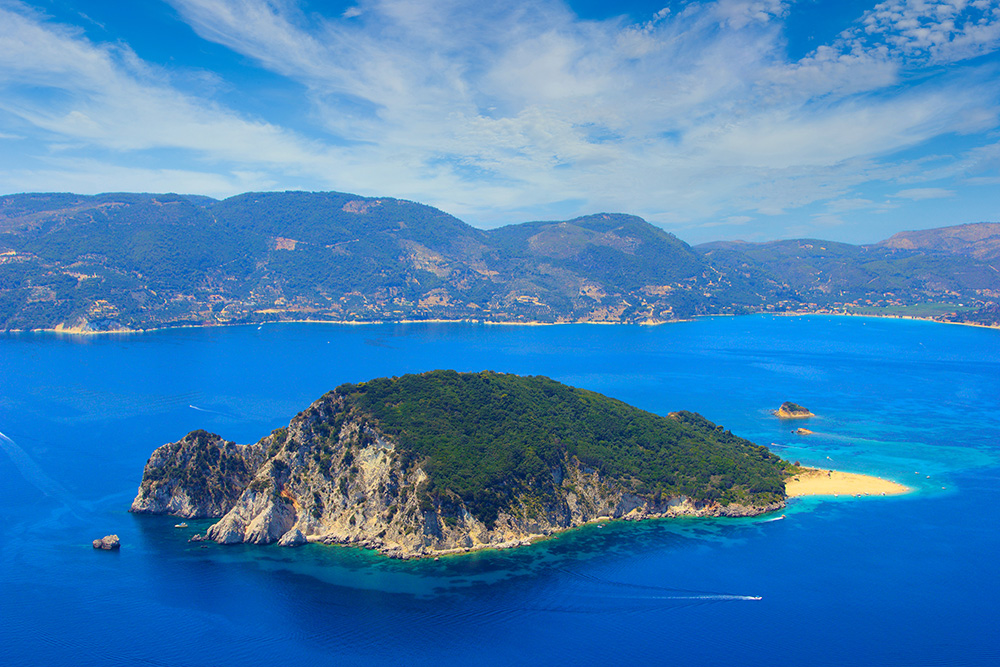
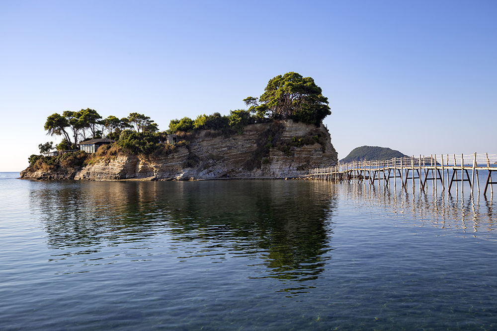
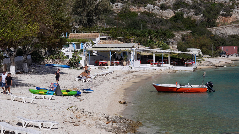
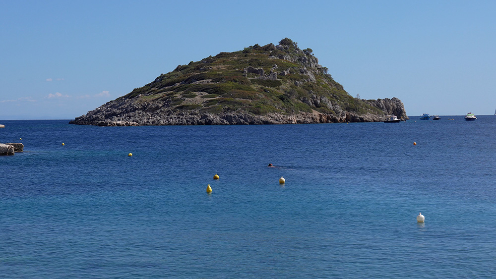
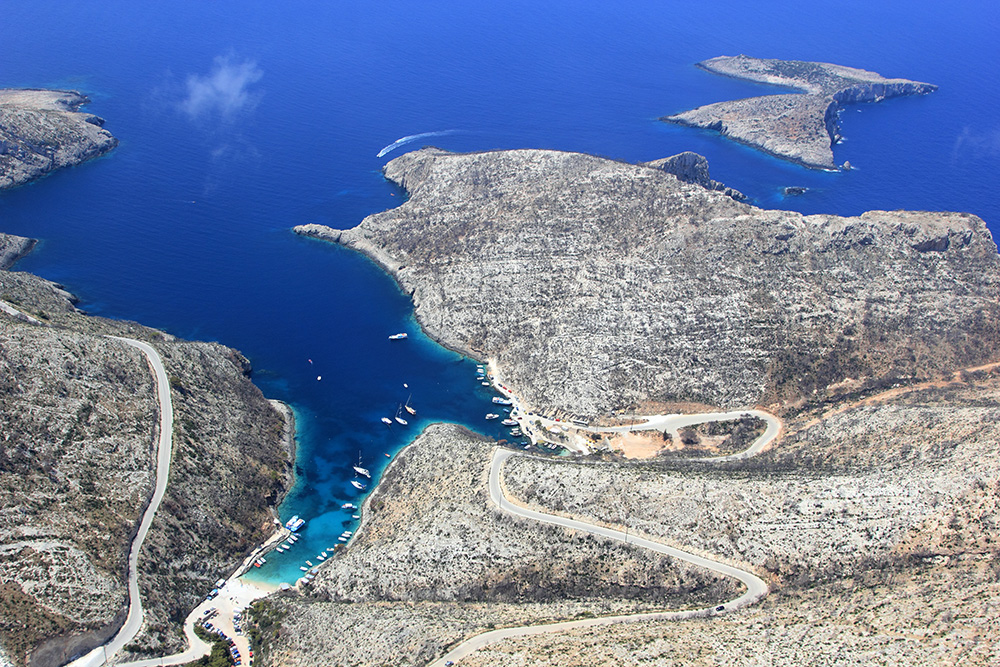
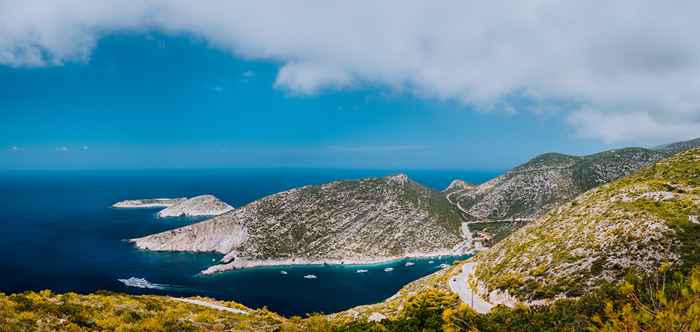
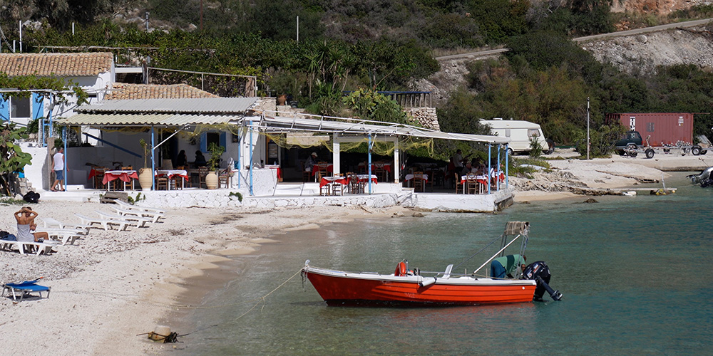
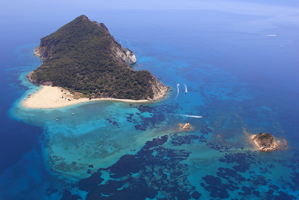
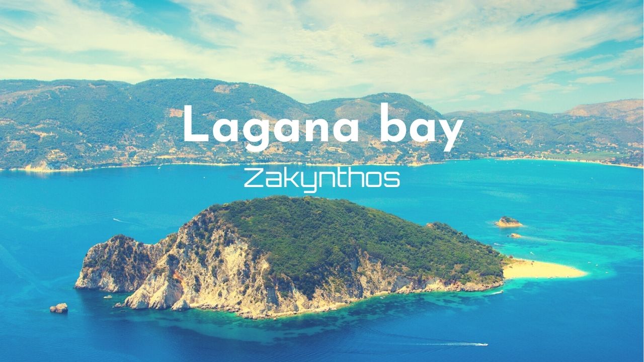
South Coast · 37°41.01’N · 20°50.21’E
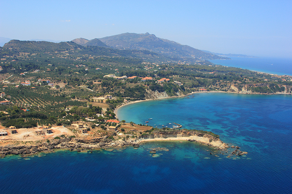
Keri / Lagana Bay Marine Park
A bay on the SW corner of the island — recommended for overnight stays in the prevailing NW–W winds. Anchoring is permitted more than 100 m from shore (marine park rules). Bottom is sand and small rocks.
Marine park: The wider Lagana Bay is split into three protection zones from 1 May to 31 October. Read the rules before committing — anchorage permitted only at Keri and around Marathonisi island.
Contact (Keri): +30 26950 28117
Full guide: Lagana Bay Marine Park dedicated page with all zone restrictions.
⚠ Watch: Open to S and E. Marine park is patrolled — speed limit and anchoring rules enforced.
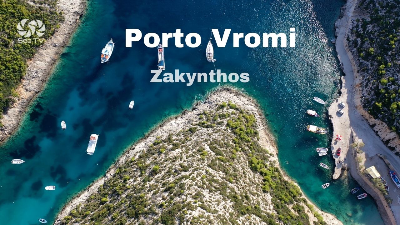
NW Coast · 37°49.19’N · 20°37.57’E
Porto Vromi
A magnificent quiet, deep cove on the wild NW coast. Anchor with a long line ashore — bottom is rocky and holding is poor. Local moorings available on VHF Ch. 09. Not recommended at night.
Full guide: Porto Vromi dedicated SeaTV page.
⚠ Watch: Open to S — swell rolls in. Lunch stop only, calm-day morning only.
NW Coast · 37°51.37’N · 20°37.26’E
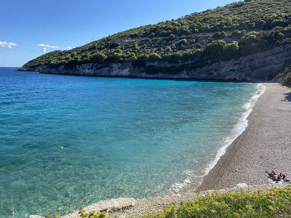
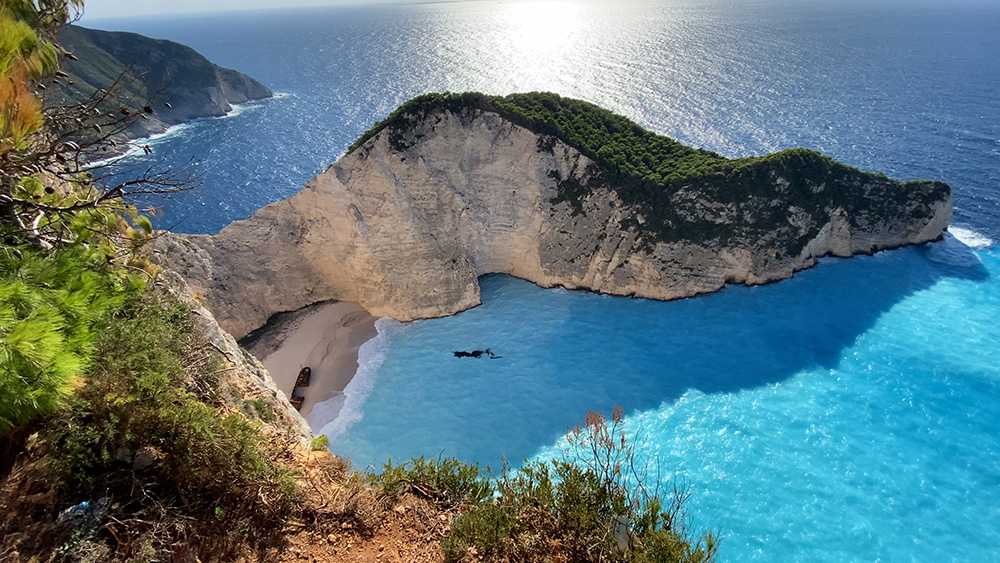
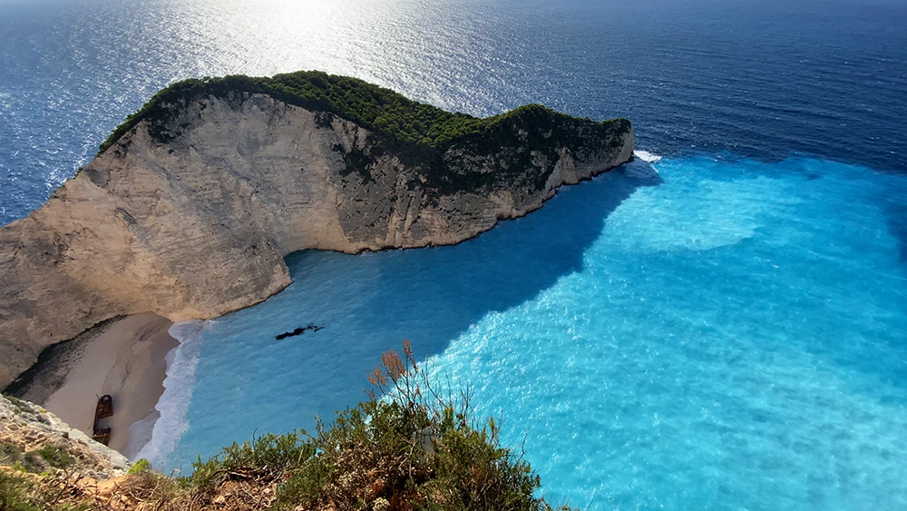
Shipwreck Beach (Navagio)
The iconic beach — small white-sand cove backed by 200-metre vertical cliffs, with the rusted hulk of MV Panagiotis half-buried on the beach. 2 NM north of Porto Vromi.
Anchoring: 7–10 m on sand off the beach.
More detail: Treated as a side trip on the Porto Vromi page.
⚠ Watch: Calm weather only — no shelter from any westerly. Falling-rock danger from the cliffs above. 50+ tour boats at peak times in summer.
Suggested 3–4 Day Zakynthos Circuit
Day 1 — Arrive at Port Zakynthos
From Sami across to Port Zakynthos — 25 NM southbound. Provision, refuel, dinner ashore in town.
Day 2 — South to Lagana, lunch and back
Round to Lagana Bay for a marine-park lunch at Keri or Marathonisi (respect zone rules). Return to Port Zakynthos for the night, or extend if forecast is settled.
Day 3 — West coast morning, north tip afternoon
Calm-day passage round the south cape, up the west coast past Porto Vromi and Shipwreck Beach (lunch stop), continuing around the north tip to Agios Nikolaos & Blue Caves for the night.
Day 4 — North to Kefalonia
Across the channel back to Sami or up to Fiskardo on Kefalonia. End of the Zakynthos loop, back into the standard Ionian network.
For multi-day plans, see our route pages: 7-Day Ionian Itinerary · Best Sailing Route from Corfu · Our Route trip log.
Pro Tips for Zakynthos
Respect the marine park. Lagana Bay is patrolled. Speed limits and anchoring rules are enforced — and the rules exist for good biological reasons. Read the Lagana Bay page before you go.
Provision at Port Zakynthos. The only place on the island with full supermarkets and proper services. Top up here before any circumnavigation.
West coast = calm-day mornings only. Don’t try to round the west coast in any unsettled forecast. The cliffs are unforgiving and there’s no shelter to retreat to.
Watch the weather window for the channel. The 25 NM Sami–Port Zakynthos passage gets nasty quickly under the afternoon thermal. Cross in the morning, both directions.
Day-tripper rhythm. All the famous spots — Marathonisi, Blue Caves, Shipwreck — are mobbed 11:00–16:00. Plan to be at any of them before 10:00 or after 16:00 for clear water and quiet anchorage.
✅ Sailor’s Safety Checklist for Zakynthos
▢ Marine park zones plotted on chartplotter (Lagana)
▢ Reef hazards plotted (Port Zakynthos 900 m ESE; north entrance Agios Nikolaos)
▢ Channel crossing (Sami–Zakynthos) timed for morning
▢ West coast detour planned for calm-morning forecast only
▢ Water reserves topped up before leaving Port Zakynthos
▢ VHF on Ch. 16 / Ch. 12
Emergency Numbers — Zakynthos
European Emergency: 112
Coastguard / Port Authority Zakynthos (VHF Ch. 12): +30 26950 28117
Olympia Radio (VHF Ch. 03/86): Greek HF/VHF maritime service
Marine Park Office: nmp-zak.org
Hospital Zakynthos: +30 26950 59100
Fuel (Port Zakynthos mini tanker): +30 6976 465650
Watch the SeaTV Visual Pilot Video
Drone passes over the cliffs, channel approaches, the marine park bay, and walk-throughs of every anchorage on the island — the full Zakynthos circuit as you’d see it from the cockpit. Free for members.
Related SeaTV Pages
Detailed guides for every Zakynthos anchorage and the broader Ionian network.
Zakynthos · Detailed Pages
→ Port Zakynthos — main town quay & port of entry
→ Lagana Bay Marine Park — south coast turtle sanctuary
→ Porto Vromi — NW coast cliff cove + Shipwreck Beach
→ Agios Nikolaos & Blue Caves — north tip
Northern Ionian (For Longer Charters)
Pick a Zakynthos anchorage
Each location has its own SeaTV visual pilot guide.
“Zakynthos is dramatic on every coast — but each coast asks something different from the boat.”
— SeaTV Visual Pilot · Zakynthos Edition