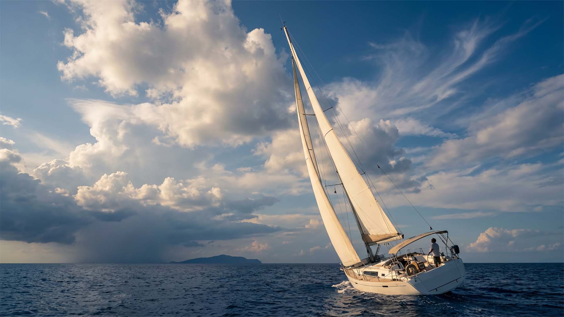
For Mediterranean sailors who’d rather trust their eyes than a single GRIB file.
GRIB models don’t tell the whole story. Around mountainous Mediterranean islands — Sporades, Sardinia, Corsica, the Greek mainland — local effects can shift the wind by 20 knots in an hour. Sailors who can read the sky, the barometer and the sea make better decisions. This is the field guide every captain should keep on board.
⚓ The 5-Minute Morning Check
Before you slip the lines or weigh anchor, run through this. If three of these point toward deteriorating conditions — wait.
- Wind direction — compass + telltales. Compare to last night.
- Cloud type and movement — what’s overhead, where it’s going.
- Barometric pressure trend — last 6 hours. Direction matters more than the value.
- Sky color at sunrise — red dawn = moisture arriving from the west.
- Sea state and swell direction — swell often arrives before the weather it belongs to.
☁️ The 5 Clouds Every Sailor Should Recognise
☀️ 1. Cumulus — fair-weather puffy
Fluffy, low, isolated. Stable weather. Watch them: if they start stacking vertically through the morning, they may grow into Cumulonimbus by afternoon.
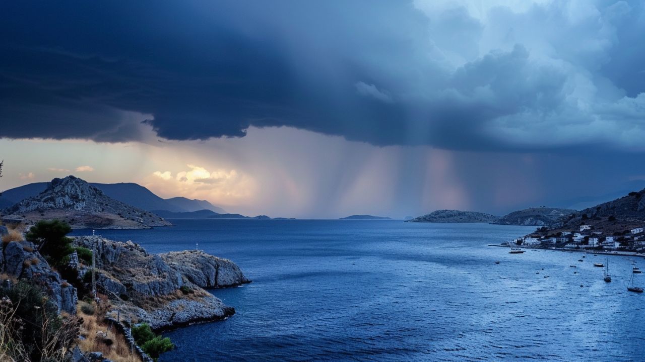
⚠️ 2. Cumulonimbus — the thunderhead
Tall, dark base, anvil-shaped top. Severe weather imminent: thunderstorms, gusts, possibly hail. Reef heavily or get to shelter. If you can see one approaching from the west or southwest, you have minutes to prepare.
️ 3. Cirrus — high white wisps (mare’s tails)
First sign of an approaching warm front. If they thicken and lower into a milky veil over the next few hours, expect rain or storm within 24 hours.
☁️ 4. Altostratus — gray sheet dimming the sun
Medium altitude, often described as the sun seen “through frosted glass.” Steady rain typically follows within 6 to 12 hours.
️ 5. Nimbostratus — dark, low, shapeless
Already raining or about to. Reduced visibility, sustained precipitation. Bad day to navigate unfamiliar water.
Pressure + Wind Direction = Forecast
The single most powerful combination you have at sea. Watch the barometer trend and the wind direction together — neither alone is enough. To combine these signs with modern forecasting tools, see our guide to planning your sail with AI.
| Wind from | Pressure rising | Pressure falling |
|---|---|---|
| SW | Fair weather 12–24 hours | Rain within 12 hours; if stormy, rain increases |
| NW | 24 hours of clear weather | Change coming, watch closely |
| NE | Continued fair, cool | Storm in 12–24 hours, heavy rain & strong winds |
| SE | Fair weather will continue | Wind & rain in 12 hours; storm may intensify |
Rule of thumb: pressure dropping fast = severe weather. Steady rise = settled weather.
Mediterranean-Specific Effects
The Med plays tricks no global weather model captures well:
Sea Breeze — the daily Mediterranean rhythm
Onshore from late morning, peaking between 14:00 and 17:00. Offshore at night. In summer it’s the dominant wind in many anchorages — plan departures and arrivals around it.
Katabatic Winds — mountain anchorages
Cold air rushes down mountain slopes after sunset. Common in north Sardinia, south Corsica, mainland Greek bays under high terrain. A calm afternoon can become 30+ knots overnight. Set your anchor accordingly — and a second one if exposed.
Channel Funneling — straits and passages
Wind accelerates between islands and through straits — Bonifacio, Kafireas (Cavo d’Oro), Doro. Always add 5–10 knots to the GRIB forecast in these channels.
The Big Three — Mistral, Bora, Meltemi
When the synoptic pattern is set, these dominate everything else. Learn their seasons, their typical onset signs, and where in your cruising area they hit hardest. For a deeper look at the Meltemi and other Aegean wind patterns, see our guide to weather patterns in the Dodecanese Islands.
✅ Pre-Departure Checklist
Before casting off, verify:
- ☐ Latest GRIB updated within 6 hours
- ☐ Barometer trend known (rising / steady / falling)
- ☐ Cloud picture noted — anything thickening from the west?
- ☐ Wind direction matches forecast — if it doesn’t, the forecast is wrong
- ☐ Backup anchorage identified — and the route to it
If any of these is uncertain, delay.
⛵ Plan Your Next Mediterranean Passage with Confidence
SeaTV produces visual pilot videos for marinas and anchorages across the Mediterranean — approach, depths, facilities, local hazards. Built by sailors, for sailors.
Browse all cruising areas on seatv.world
Next in the series: 9 Warning Signs Before a Storm and The Beaufort Scale at Sea.


Leave a Reply