SeaTV · Spain · Andalusia · Tarifa & the Strait of Gibraltar
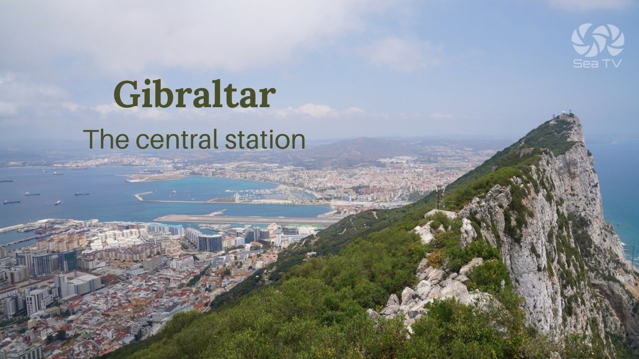
Tarifa & the Strait of Gibraltar — Where Two Oceans Meet
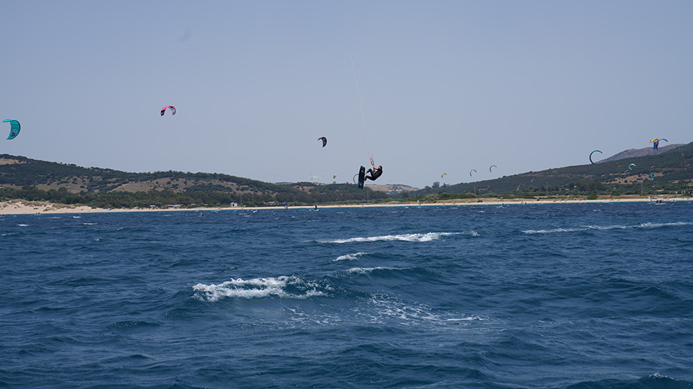
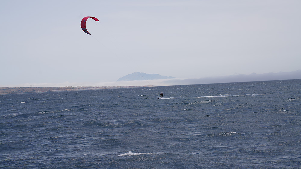
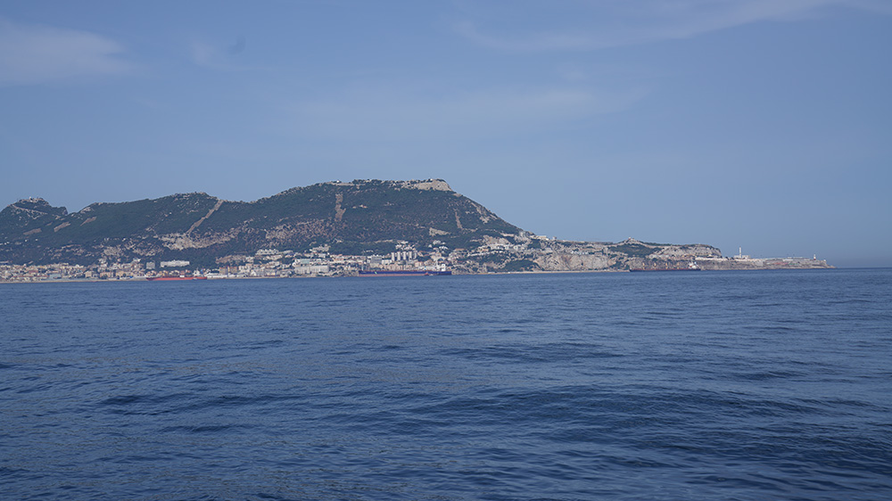
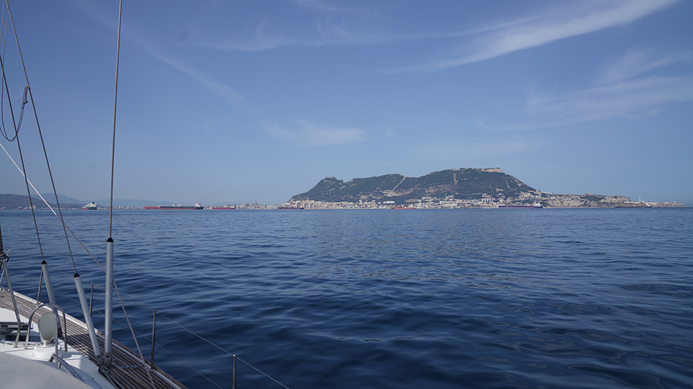
~36°00’N · 5°36’W · Tarifa · Cádiz province · Andalusia · the southern tip of mainland Spain · 14 km across the Strait to Tangier (Morocco) · the choke point where the Atlantic Ocean meets the Mediterranean Sea · ~300 commercial ships passing daily · ~22 km/h average wind · gusts >109 km/h · the world capital of windsurfing + kitesurfing · the cetacean hotspot of southern Europe · whales, dolphins, occasional orca sightings.
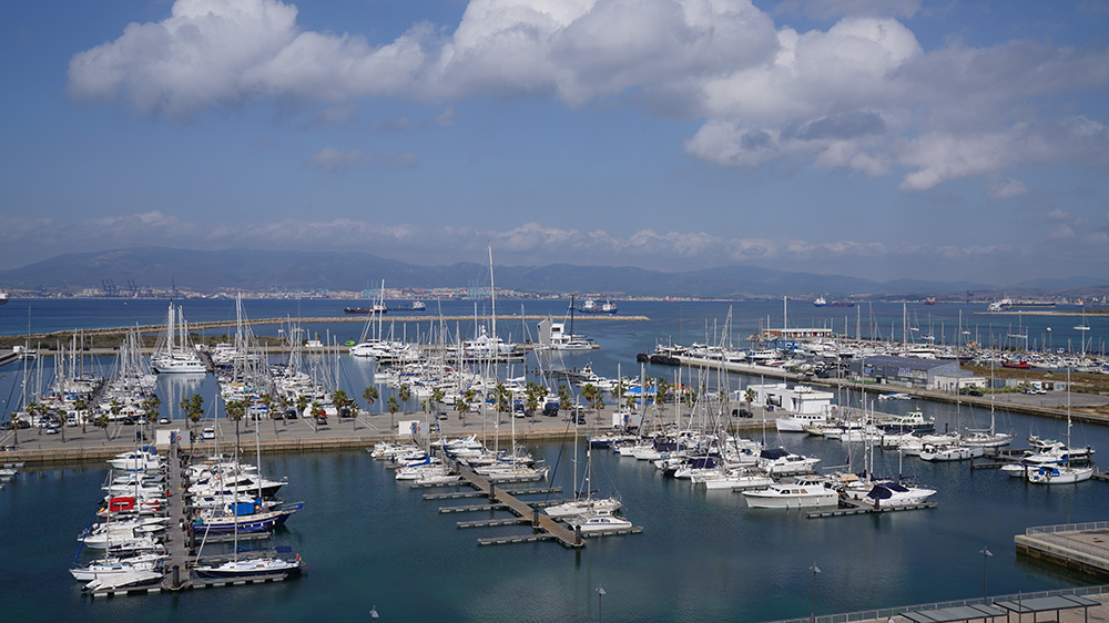
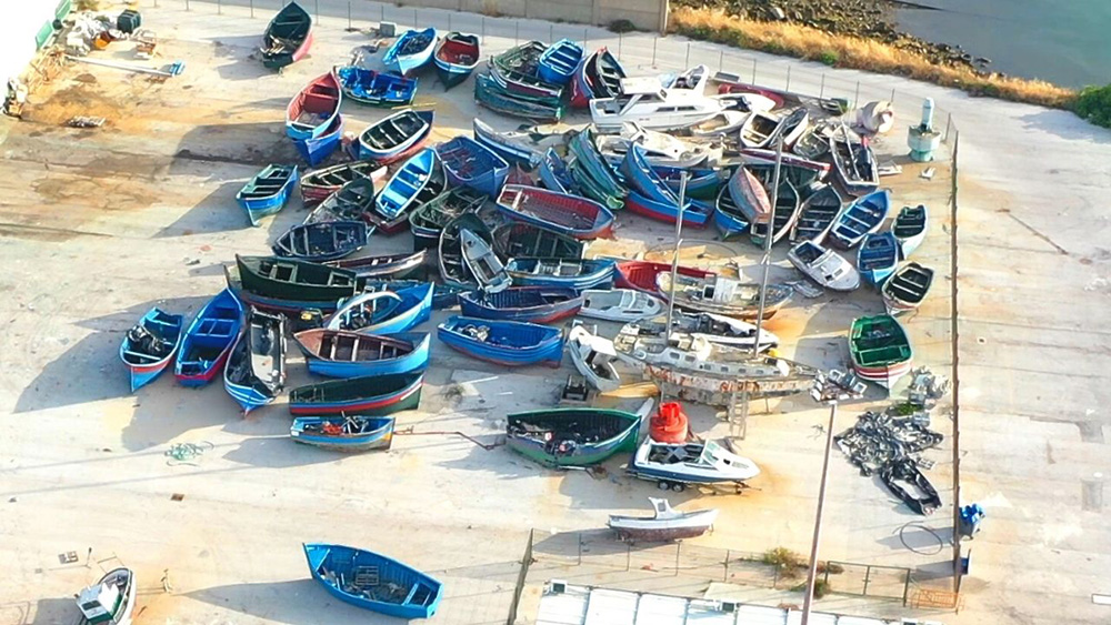
Tarifa fishing port: ⚠ small boats only · calm weather only · most cruisers stage at Barbate (W) or Alcaidesa La Línea (E) · this is a transit-through area, not a destination berth
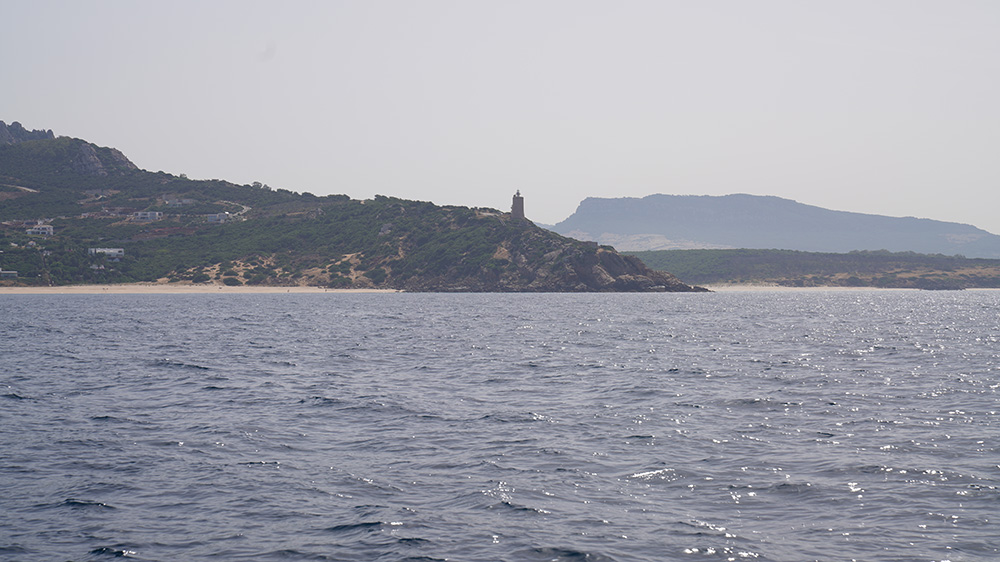
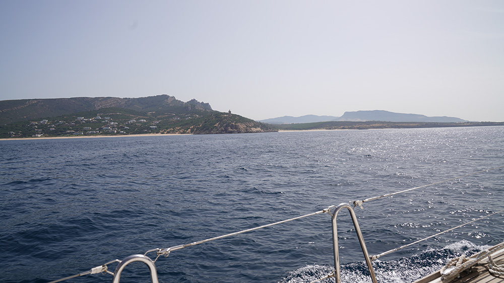
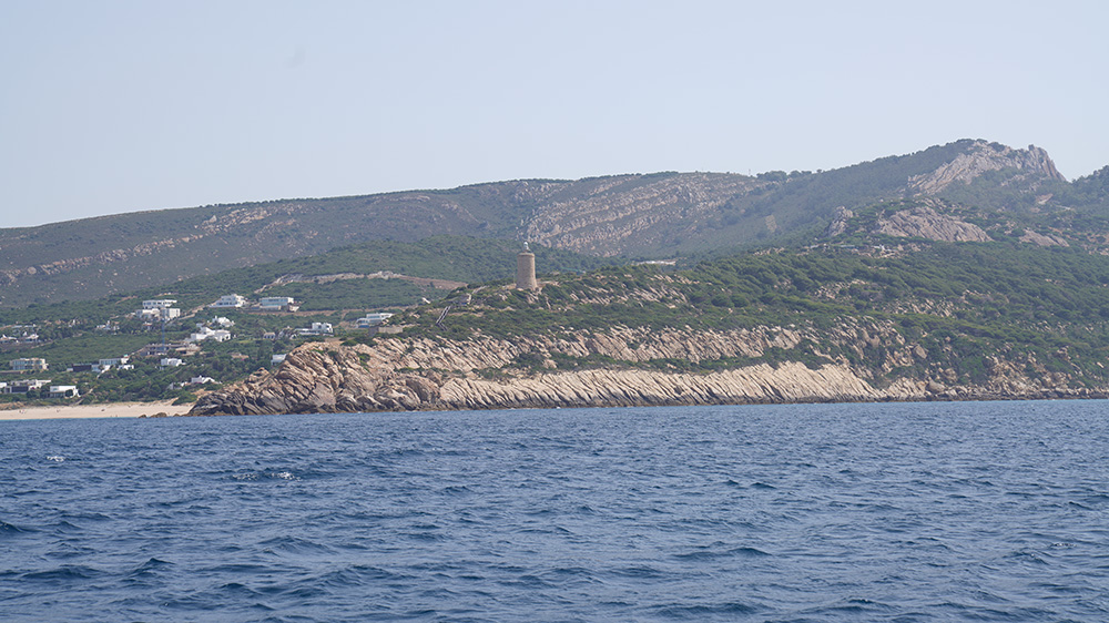
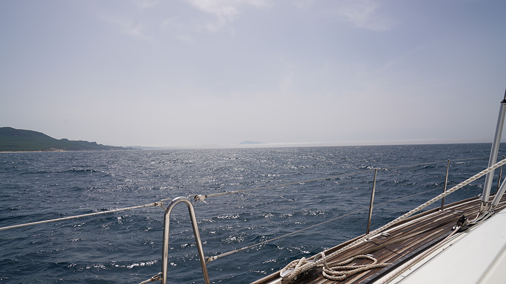
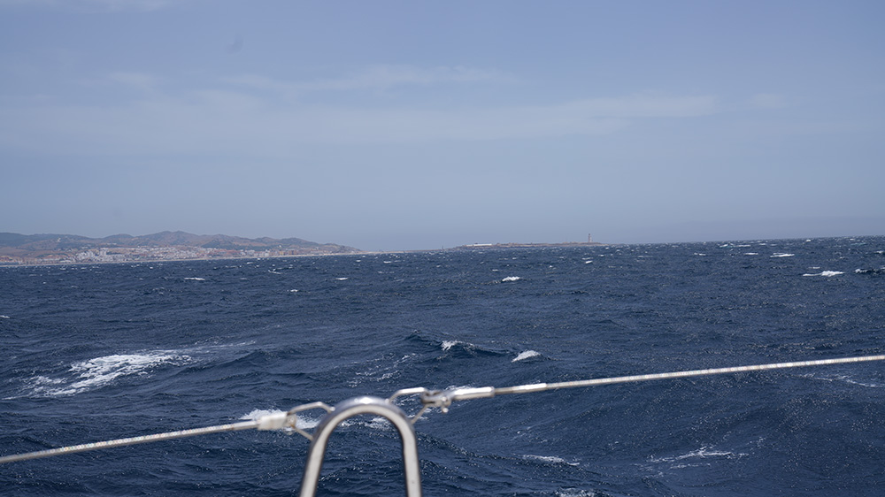
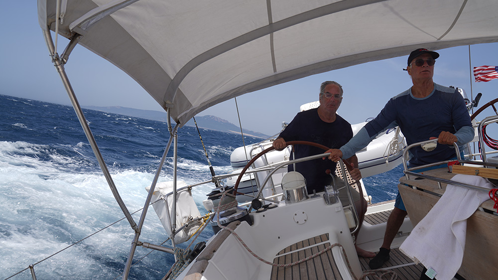
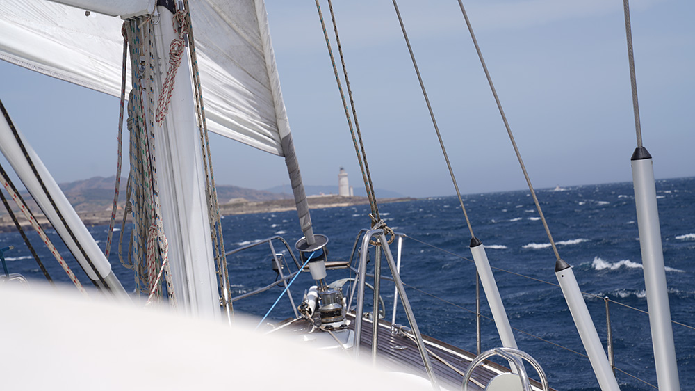
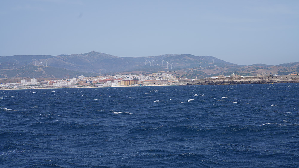
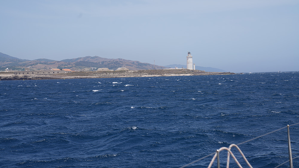
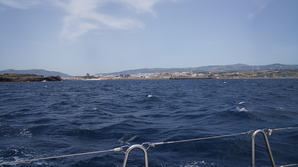
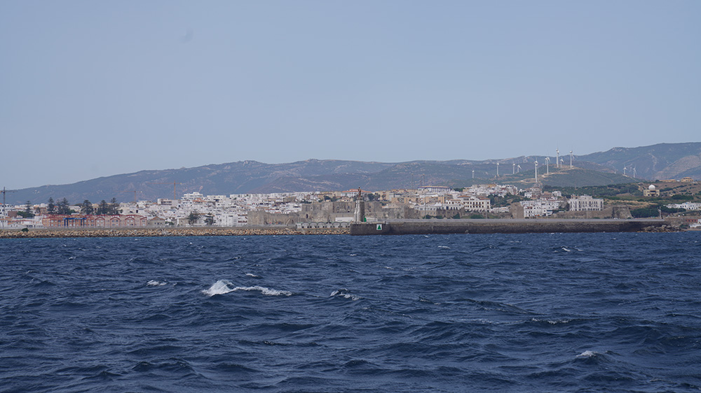
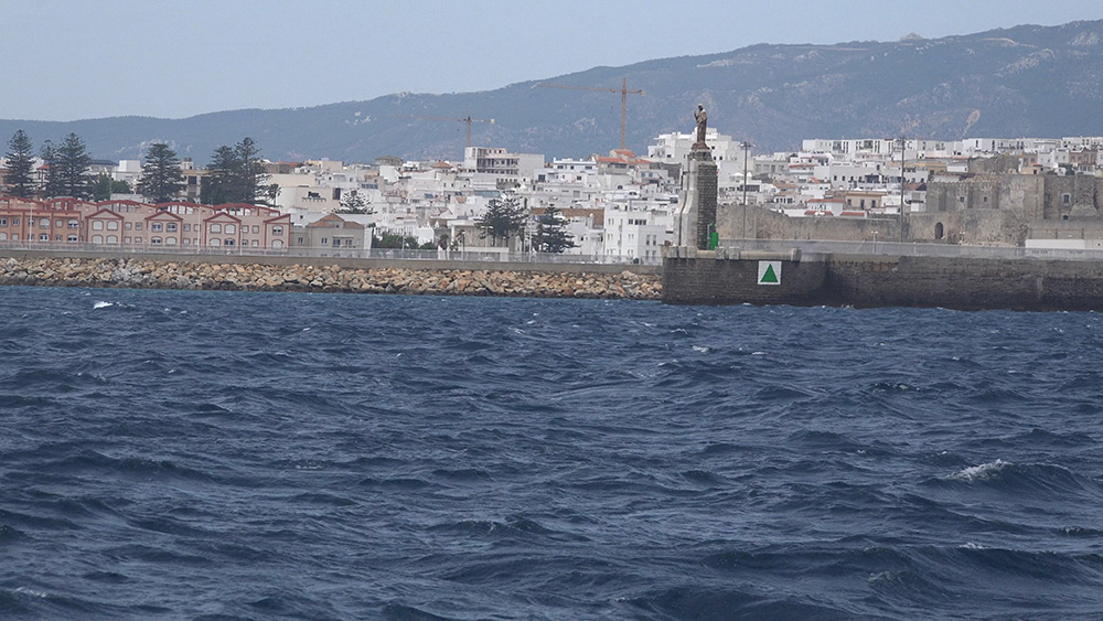
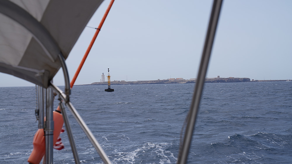
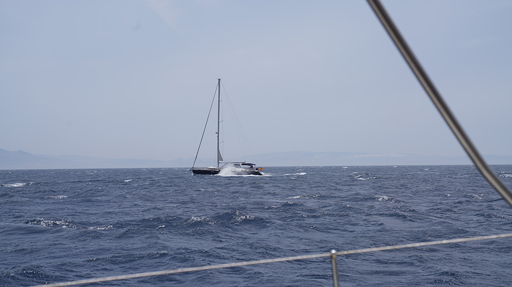
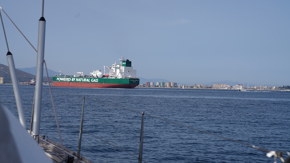
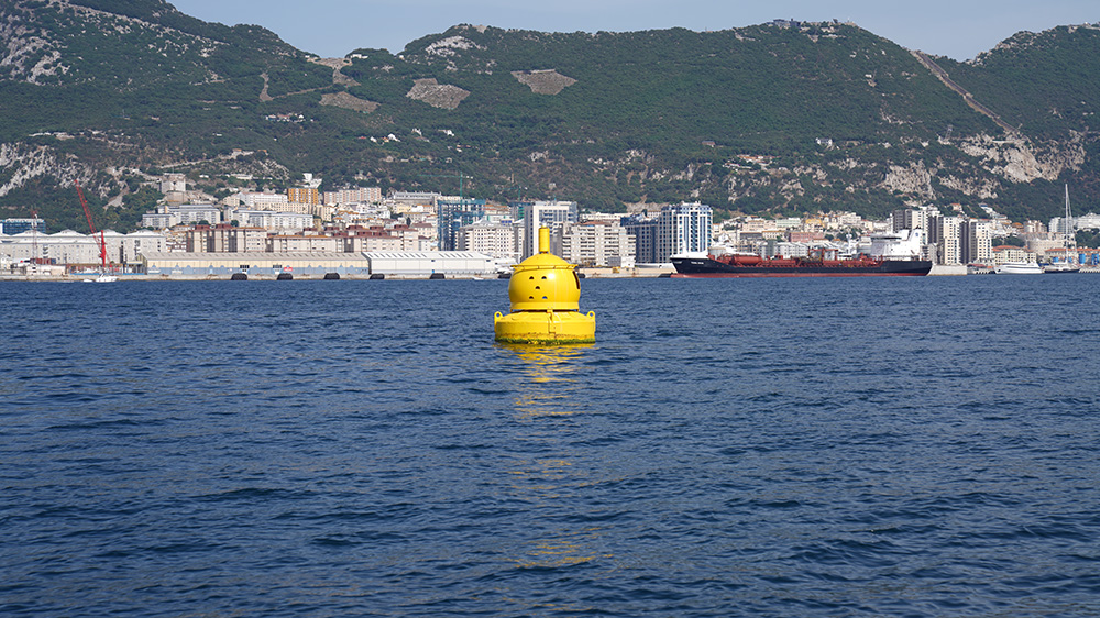
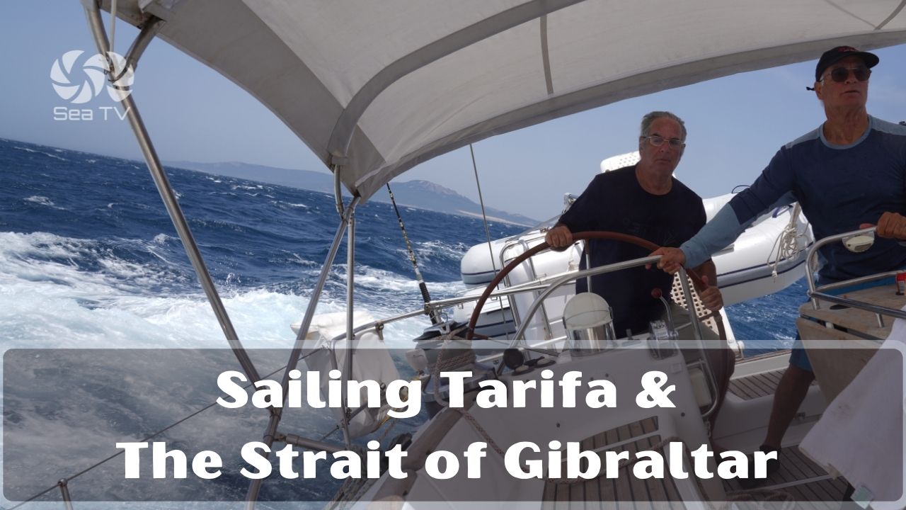
Tarifa is the southern tip of mainland Spain — and the Strait of Gibraltar is the most challenging stretch of water in W European cruising. Just 14 km separate Tarifa from Tangier on the African side, and through this narrow funnel pour the entire Mediterranean’s tidal exchange + ~300 commercial ships daily — making the Strait one of the busiest waterways on the planet. For sailors, the Strait is not so much a destination as a passage that demands respect: Levante (E wind) accelerates through the funnel like a fire hose · Poniente (W wind) is the gentler counterpart · advection fog can roll in at sunrise/sunset · and the powerful tidal currents flowing E→W on the surface (with deeper Mediterranean outflow going W→E below) create steep, confused seas in the wrong wind. ⚠ Tarifa is not a yacht-marina town — the small fishing port handles only small boats in calm weather, and it has no real visitor moorings for cruising yachts. The practical staging strategy is: wait at Barbate (~20 NM W) for a westbound (Mediterranean-to-Atlantic) passage, or Alcaidesa La Línea / Gibraltar (~20 NM E) for an eastbound (Atlantic-to-Mediterranean) passage. Then time your crossing of the actual Strait around slack water at Tarifa Point + favourable wind — typically W wind for E-bound, E wind for W-bound. Tarifa town itself is best visited by land — it’s the kitesurfing capital of Europe, with empty beaches stretching N to Bolonia, the Roman ruins of Baelo Claudia, and the cetacean-watching boats that depart daily from the harbour.
⚠ Strait of Gibraltar — the cruiser’s reality check:
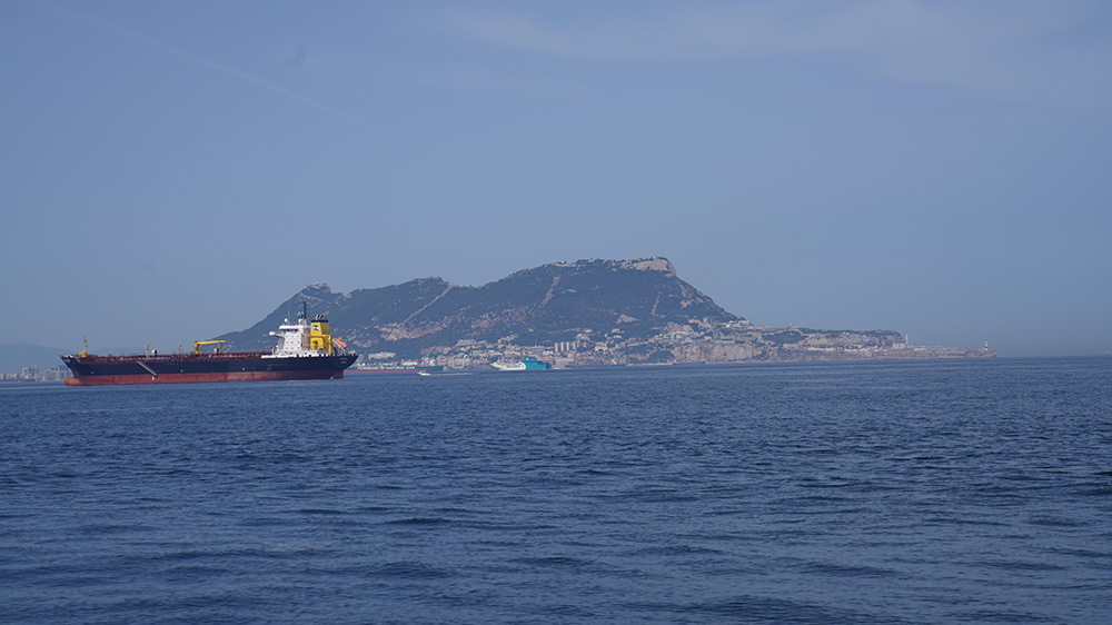
→ ⚠ ~300 commercial ships daily · one of the world’s busiest waterways · monitor AIS continuously · cross the shipping lanes at right angles like a road
→ ⚠ Levante (E) winds 30-40 kt · accelerate through the funnel · can blow for 3-7 days · check forecast before crossing
→ ⚠ Wind-against-current = steep, breaking seas · most dangerous when Levante meets the surface E→W current
→ ⚠ Advection fog · sunrise + sunset · summer especially · plan around it
→ ⚠ Tarifa fishing port: small boats in calm weather only · do NOT plan to overnight here · stage at Barbate or Alcaidesa
→ ⚠ Yield to all naval + commercial vessels · this is heavily-monitored international waters
→ Maritime Rescue Centers · Tarifa (Spain) + Tangier (Morocco) · VHF 16 · 24h coverage
⚓ The Strait at a Glance
Tarifa coordinates
~36°00’N · 5°36’W
Width of the Strait
~14 km Tarifa to Tangier
Daily ship traffic
~300 commercial vessels
Average wind
>22 km/h · gusts >109 km/h
Quietest months
July–August (statistically)
Water temp
15°C winter · 22-23°C summer
Distance · Barbate
~20 NM W
Distance · Alcaidesa La Línea
~20 NM E
Cetacean species
Common dolphin · pilot whale · sperm whale · orca (occasional)
SAR Centers
Tarifa + Tangier · VHF 16
Tarifa fishing port
⚠ small boats + calm weather only
Best for cruisers
Strait crossing · cetacean watching · land visit
The Two Winds — Levante & Poniente
Levante · the easterly
→ Hot, dry E wind out of the Mediterranean — accelerates through the Strait funnel
→ Often 30-40 kt sustained, with gusts to 50+ kt against the high coastal hills
→ Can blow for 3-7 consecutive days · Atlantic-bound traffic stops · stage at Alcaidesa or Gibraltar and wait it out
→ Plan for E-bound passage from Atlantic into Med — use Levante as your push wind through the Strait
Poniente · the westerly
→ Atlantic westerly — gentler, more humid, fresher
→ 15-25 kt typical · much less violent than Levante
→ The friendly wind for E-bound passage: pushes you E + the surface current also flows W→E from afternoon to evening
→ Plan for W-bound passage from Med to Atlantic — use Poniente as your push wind
Sailing Strategy — Crossing the Strait
E-bound (Atlantic → Mediterranean):
→ Wait at Barbate for the right window: Poniente wind + slack water at Tarifa
→ Aim Tarifa Point at slack water HW-GBR (high water Gibraltar) — minimum current for the trickiest part
→ Once past Tarifa Point, the surface current pushes E into the Bay of Algeciras
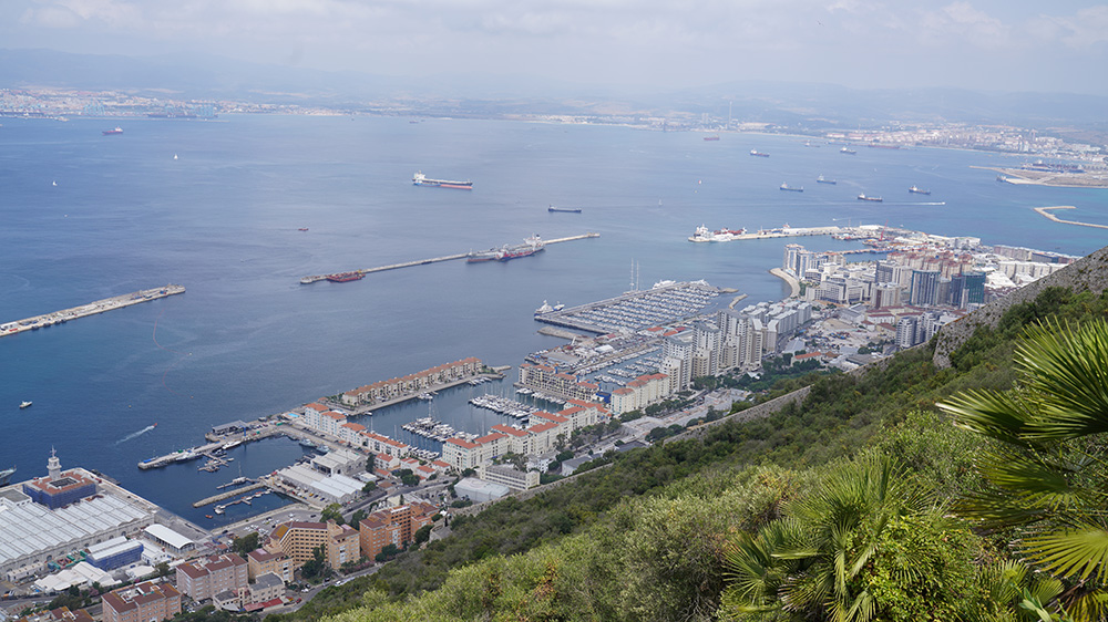
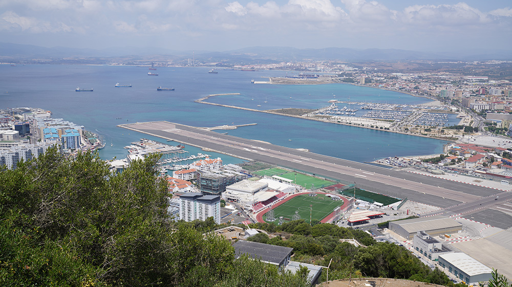
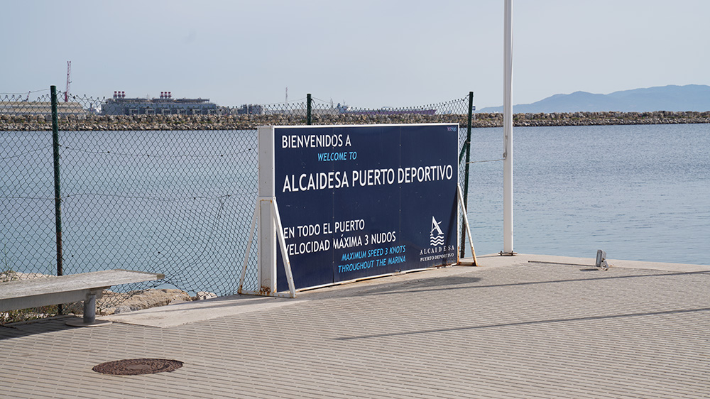
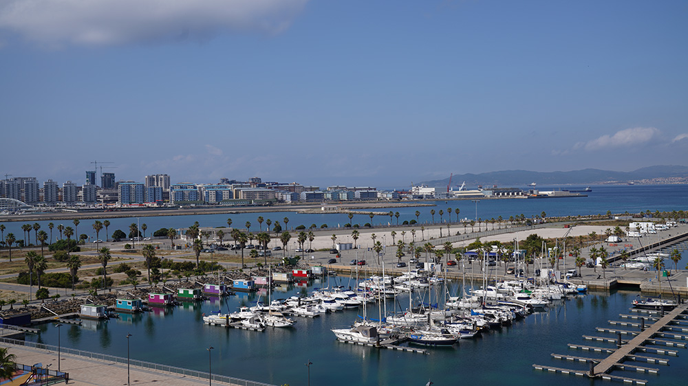
→ Make for Alcaidesa Marina (La Línea) or Gibraltar’s Marina Bay on the E side of the Bay
W-bound (Mediterranean → Atlantic):
→ Wait at Alcaidesa La Línea or Gibraltar for: Levante wind (gives you push) + favourable tide
→ Aim Tarifa Point ~6 hours after HW-GBR — best chance of W-going current to assist
→ Hug the Spanish (N) coast for the most favourable countercurrent
→ Once past Tarifa, sea opens up · make for Barbate to wait for the next leg N
If conditions are wrong:
→ Strong Levante: do not attempt E-bound · wait it out · 3-7 days is common
→ Wind against current: the steep breaking seas can swamp small boats · do not attempt
→ Fog forecast: wait it out · the shipping channels are too dangerous for poor visibility
Cetacean Hotspot — One of the Top in the Mediterranean
Whale + dolphin sightings
→ Common dolphin · the most numerous · large pods year-round
→ Striped dolphin + bottlenose dolphin · also frequent
→ Pilot whale · year-round resident · large pods
→ Sperm whale · summer · the deep-water giants
→ Orca (killer whale) · summer · the famous Strait of Gibraltar pod follows the bluefin tuna migration · ⚠ recent years have seen orcas interacting with sailing yacht rudders — keep distance + report sightings
→ Whale-watching boats · depart Tarifa harbour daily April-October · book through firmm.org or turmares.com
Tarifa Town — Wind Capital of Europe
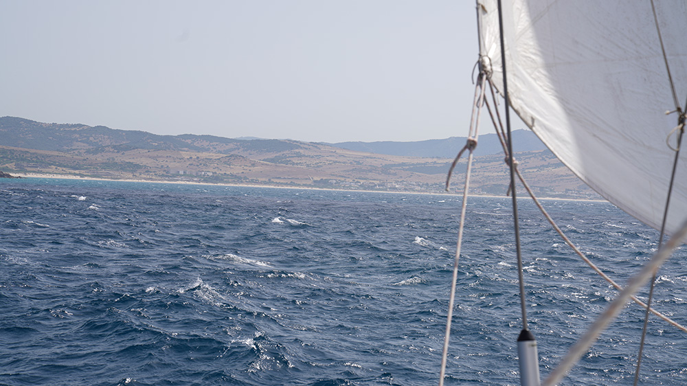
→ Kitesurfing + windsurfing world capital · year-round wind · the best beach (Playa de los Lances) is 7 km of pure sand stretching N from town
→ Castillo de Guzmán el Bueno · 10th-century Moorish-era fortress · the “Sword of Africa” castle
→ Old town walled medina · Moorish street layout intact
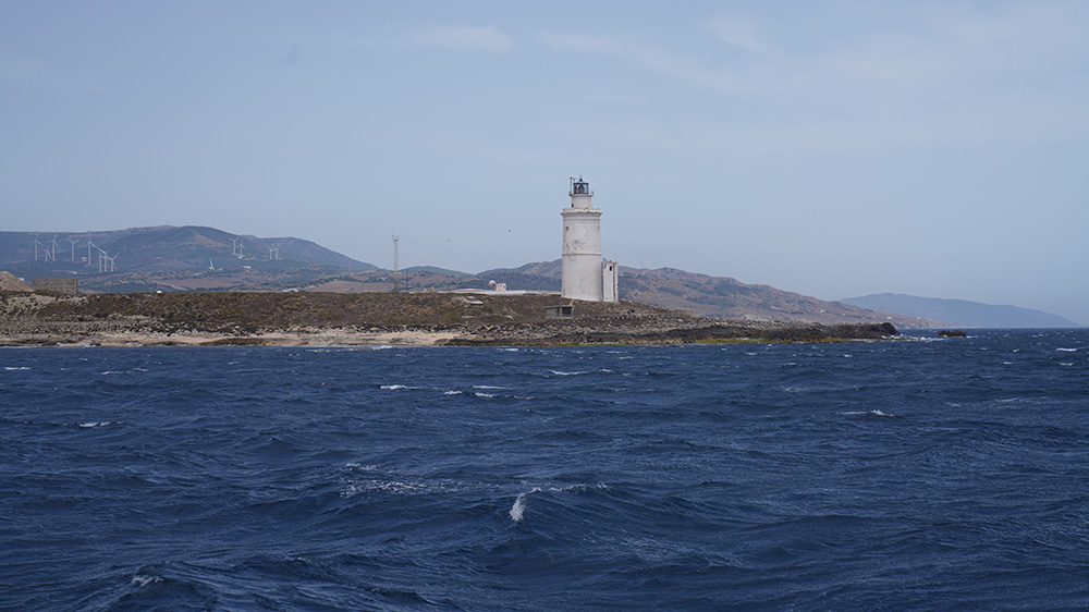
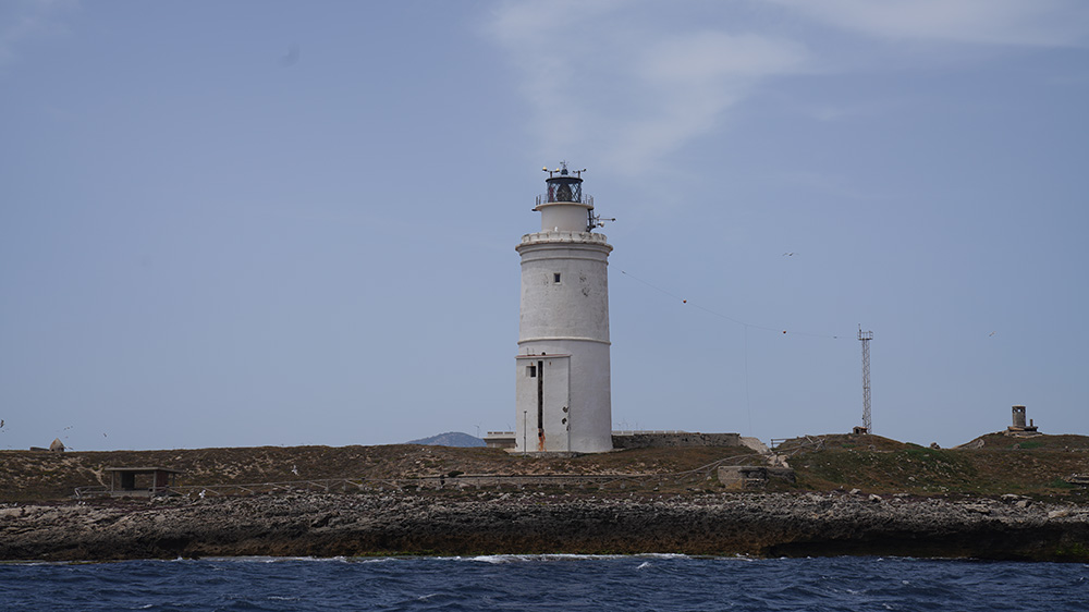
→ Punta de Tarifa · the southernmost point of mainland Spain · the small Tarifa fishing harbour + the islet of Las Palomas (closed to visitors — military)
→ Bolonia + Baelo Claudia · 30 km W · 1st-century BCE Roman ruins of a tuna-salting town · the Bolonia dune is one of Europe’s largest mobile dunes
→ Day-trip ferry to Tangier (Morocco) · 35 min crossing · runs from Tarifa harbour 4-7 daily
→ Tarifa is bohemian + relaxed · cafés + tapas · backpacker + kitesurfer culture
Contact & Emergency
Tarifa SAR (Salvamento Marítimo Tarifa): VHF 16 · 24h Strait coverage
Maritime SAR (national): 900 202 202
Emergency: 112
Tide tables: AEMET (aemet.es) · Predictwind · the Tarifa Point HW reference is critical
Closest practical marina W: Barbate (~20 NM W)
Closest practical marina E: Alcaidesa La Línea (~20 NM E)
Closest airport: Gibraltar (GIB) ~25 km · Jerez (XRY) ~110 km
⛵ Continue Exploring Andalusia
SeaTV Andalusia docking pages:
→ Puerto de Barbate — ~20 NM W · staging port for E-bound passage
→ Gibraltar / La Línea Marinas — ~20 NM E · staging port for W-bound passage
→ Cádiz · Marina Puerto América — ~40 NM NW · UNESCO city + designated port of entry
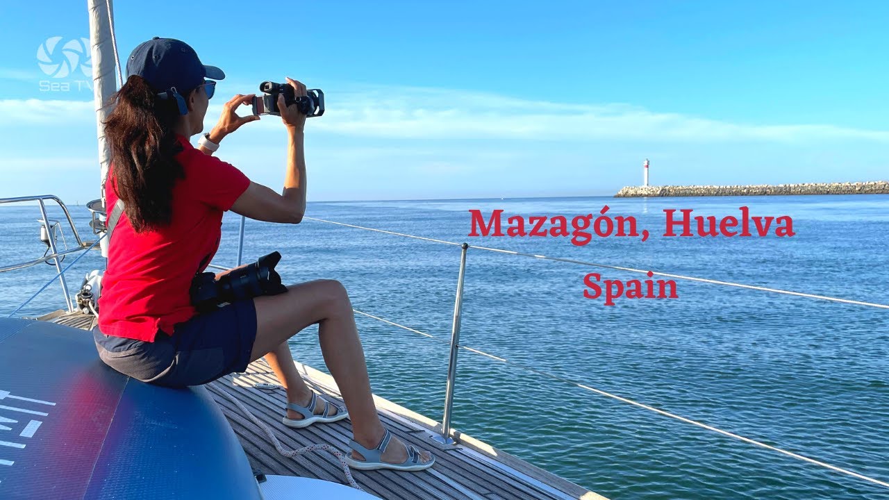
→ Mazagón (Huelva) — ~140 NM NW · Doñana + Algarve gateway
Cluster hub:
→ Andalusia hub — full Atlantic + Mediterranean Andalusian coverage
“Tarifa is the southern tip of mainland Spain and the Strait of Gibraltar is the most challenging stretch of water in western European cruising · just fourteen kilometers separate Tarifa from Tangier on the African side and through this narrow funnel pour the entire Mediterranean’s tidal exchange plus approximately three hundred commercial ships daily making the Strait one of the busiest waterways on the planet · for sailors the Strait is not so much a destination as a passage that demands respect with Levante the easterly wind accelerating through the funnel like a fire hose and Poniente the westerly counterpart being the gentler partner and advection fog rolling in at sunrise and sunset and powerful tidal currents flowing east to west on the surface with deeper Mediterranean outflow going west to east below creating steep confused seas in the wrong wind · Tarifa is not a yacht marina town the small fishing port handles only small boats in calm weather and it has no real visitor moorings for cruising yachts · the practical staging strategy is to wait at Barbate twenty miles west for a westbound Mediterranean to Atlantic passage or at Alcaidesa La Línea or Gibraltar twenty miles east for an eastbound Atlantic to Mediterranean passage · then time your crossing of the actual Strait around slack water at Tarifa Point plus favourable wind typically west wind for east bound and east wind for west bound · this is whale country with common dolphins and pilot whales year round and sperm whales in summer and the famous Strait of Gibraltar orca pod that follows the bluefin tuna migration · keep distance from orcas and report sightings · respect the wind and respect the current and respect the ships · sail accordingly.”
— SeaTV · Andalusia · Tarifa & the Strait of Gibraltar · Where Two Oceans Meet