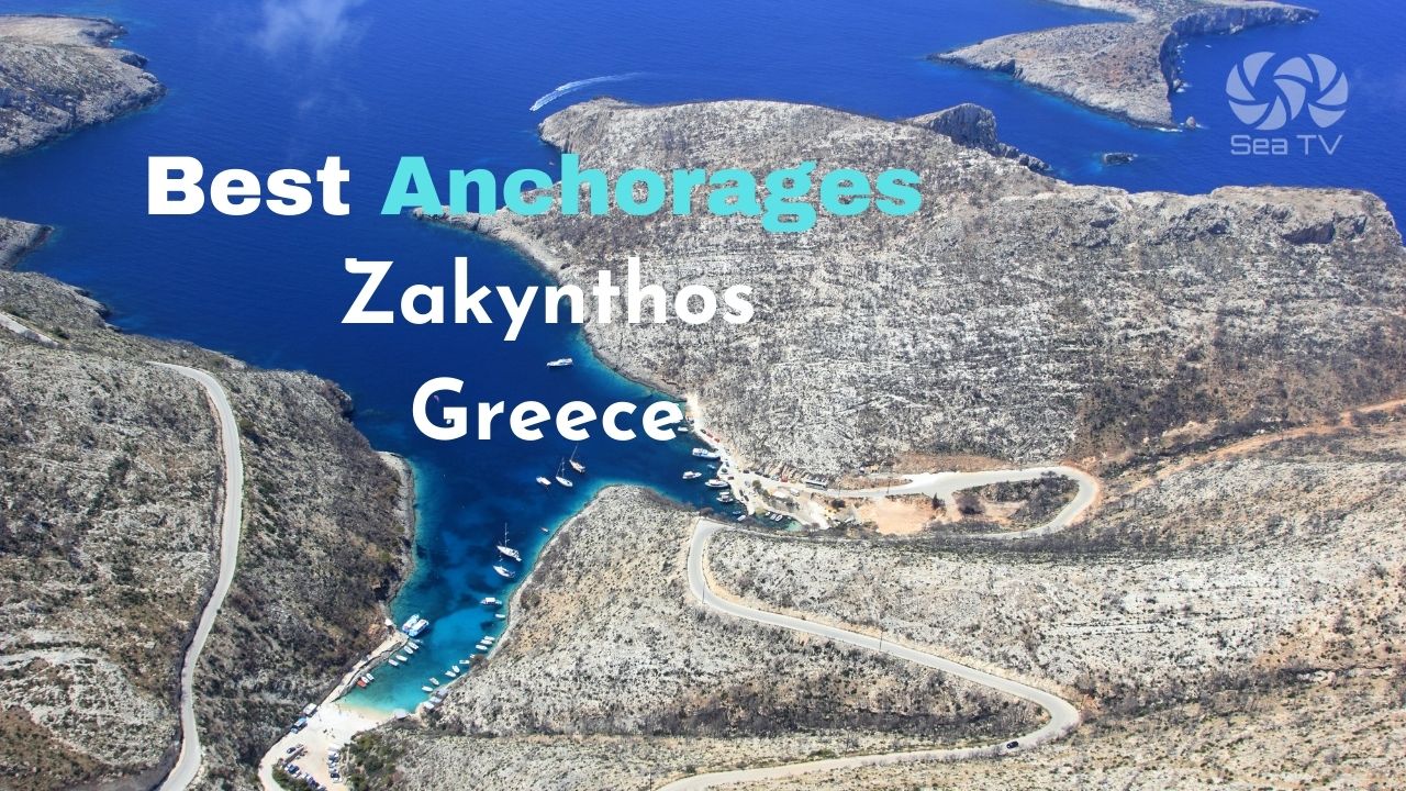
SeaTV · Ionian Islands · Zakynthos
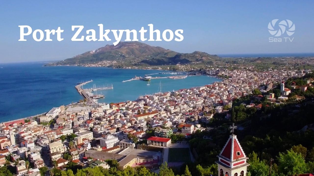
Port Zakynthos — Sailing & Mooring Guide
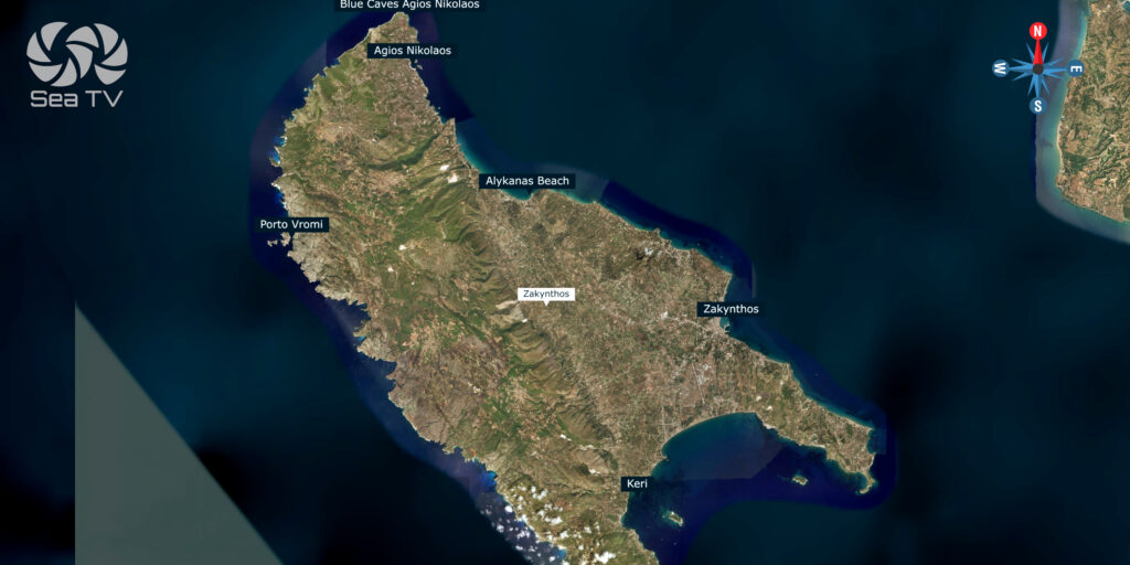
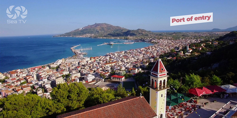
The main town quay and port of entry on the east coast of Zakynthos — a working ferry port with full facilities, reef hazards on approach, and the only proper shelter on the south of the island.
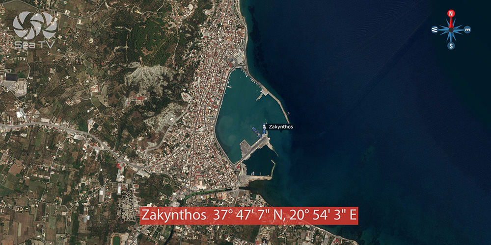
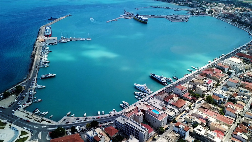
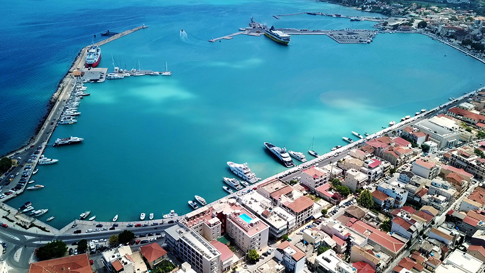
Port Zakynthos sits on the east coast of Zakynthos, the main town quay of the island and the official Port of Entry for Greek customs and clearance. It’s a working harbour — heavy ferry traffic to and from the mainland, fishing fleet, tour boats, and the visiting yachts that need shelter, fuel, water, and supermarkets.
For sailors, this is the practical service hub of Zakynthos. After a day at Lagana Bay or a passage round from Porto Vromi, this is where you provision, refuel, do laundry, and have a real meal in a town with banks and pharmacies. The trade-off: you’re sharing the port with several large ferries a day, and the approach has a couple of hazards that catch sailors who aren’t paying attention.
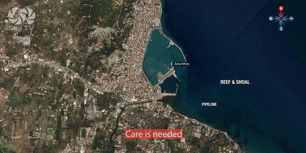
⚠ Reality check: A reef and shoal water sits approximately 900 m ESE of the port entrance. Closer to the coast there’s a group of mooring buoys off the end of an underwater oil pipeline. Heavy ferry traffic uses the same approach corridor. Plan the entry carefully — eyes on the chartplotter and the AIS, not on the town.
⚓ Quick Facts for Sailors
Coordinates
37°47.07’N · 20°54.03’E
Status
Port of Entry · Greek customs & clearance
VHF Watch
Ch. 12 (port authority) · Ch. 16 (distress)
Olympia Radio
VHF Ch. 03 / 86
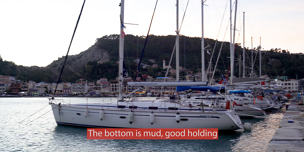
Holding
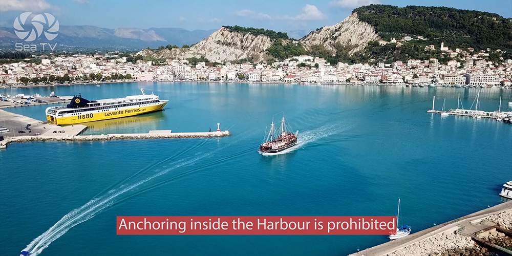
Mud — good · anchoring inside harbour PROHIBITED
Coast Guard
+30 26950 28117
Approach, Lights & Hazards
Visual approach — by day
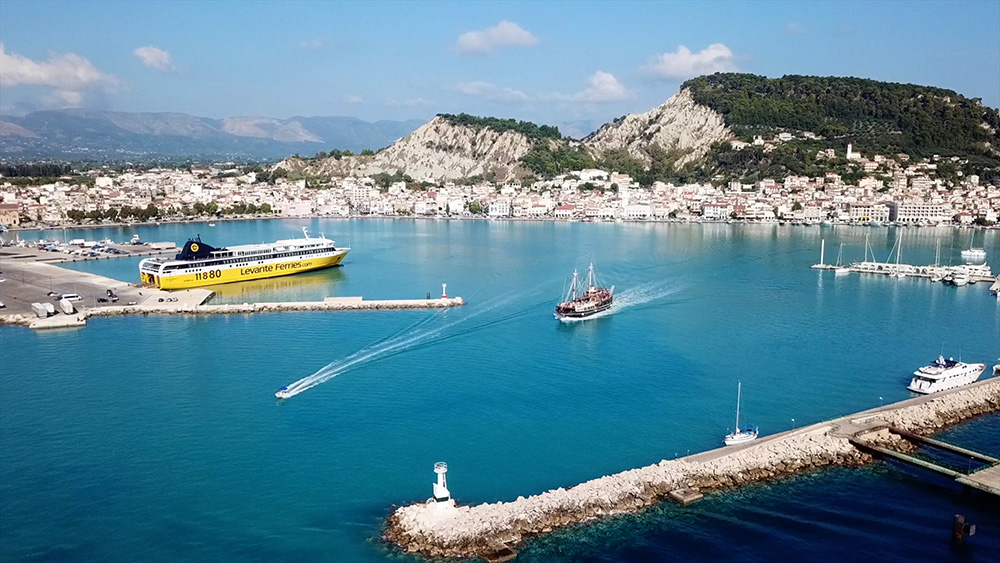
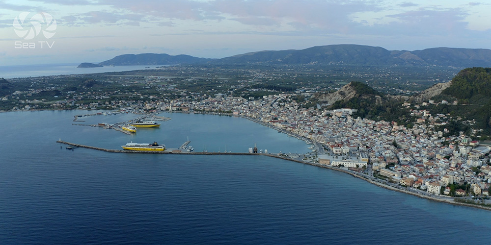
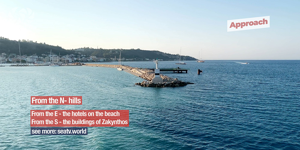
From the north: Hills of Zakynthos visible from offshore, then the town gradually appears as you close the cape.
From the east: Hotels along the beach are visible from a few miles out — the most obvious landmarks.
From the south: Buildings of Zakynthos Town along the waterfront are clearly visible.
Night approach — lights
From the north:
→ Ak Skinari (NE tip): Fl.5s.20M
→ Ay Nikolaos: Fl.2s.7M
→ Ak Krioneri (north of port): Fl(2).16s.6M
From the south: Ak Keri at the southwest tip — Fl.10s.17M
Hazards on approach
Reef & shoal water: Approximately 900 m ESE of the port entrance. Mark on chartplotter; give wide berth.
Mooring buoys: Closer to the coast, a group of mooring buoys marks the end of an underwater oil pipeline. Don’t pass between them.
Ferry traffic: The port serves multiple daily ferries to Kyllini (mainland Peloponnese) and other connections. Approach speeds and turning radii are large. Stay clear of the channel and the entrance corridor when ferries are moving — listen on Ch. 12 to stay aware.
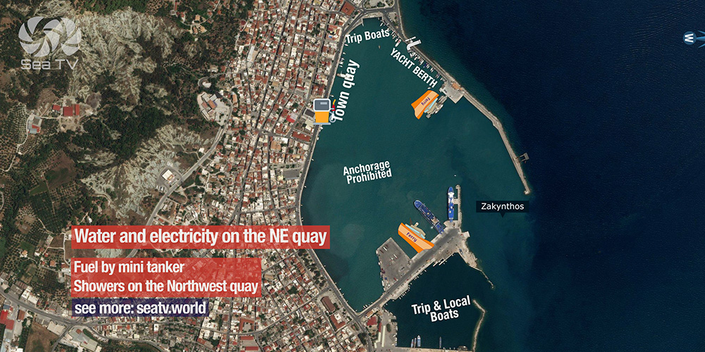
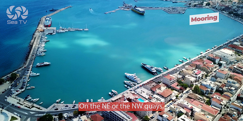
⚓ Mooring Inside the Harbour
NE Quay · Med Moor · Recommended
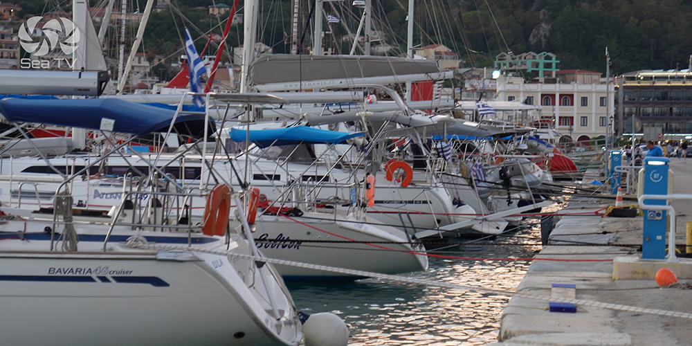
Stern-to the NE Quay
The preferred visiting-yacht section. Stern-to where directed by the port staff or marina office on arrival. Good shelter, water and electricity available, manageable ferry-wash exposure.
Berthing: Med-moor with your own anchor. Bottom is mud — good holding once dug in. Reverse hard to set; ferry wash through the day will test the anchor more than the wind.
Services: Water and electricity available on the NE quay. Showers on the NW quay (a short walk).
⚠ Watch: Anchoring inside the harbour is prohibited — you must moor at the quay. Long stern lines and good fenders for ferry wash.
NW Quay · Med Moor · Backup Section
Stern-to the NW Quay (North Half)
Mooring permitted on the north half of the NW quay only — the south half is reserved for ferries and commercial traffic. Showers and other facilities on this side.
Berthing: Same approach — med-moor with own anchor in mud bottom. Good holding.
Watch the dividing line: Confirm with port staff before backing in — the line between visitor and commercial sections moves seasonally and isn’t always obvious.
⚠ Watch: Strong southerly winds bring surge into the harbour, making the NW quay uncomfortable. If S forecast, take an NE quay spot instead.
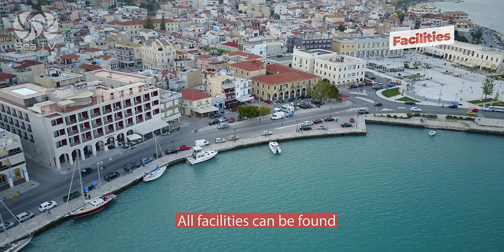
Facilities & Shore
Water & electricity: Available on the NE quay. Hookups at most berths.
Fuel: No quay-side pump — fuel delivered by mini tanker. Call +30 6976 465650. Plan a day ahead in season — same-day delivery isn’t always possible.
Showers: On the NW quay. Card-access in some seasons; check with the port office on arrival.
Provisioning: Multiple supermarkets within 5–10 minutes’ walk of the quay — full provisioning for any length of stay.
Banks & ATMs: Several in the town centre, all within walking distance.
Pharmacy & medical: Pharmacies in the town centre. Hospital on the outskirts of town, ~5 minutes by taxi.
Customs & clearance: As Port of Entry, official Greek clearance is available here for incoming and outgoing yachts. Coast Guard office handles paperwork — call ahead on Ch. 12 if you need to arrange.
Where to Eat — Sailors’ Picks
Zakynthos Town has the widest restaurant choice on the island. The waterfront is touristy; the better kitchens are in the streets behind. Booking is rarely necessary outside peak August.
Komis Taverna
A long-running fish kitchen near the waterfront — the spread of meze, fresh catch, and Zakynthian wines you’d hope for in a port town. €€–€€€
Zakanthi Restaurant
Modern Greek with an emphasis on local ingredients — slightly more refined than the average waterfront taverna, fair prices for the quality. €€
Mesathes (back-street meze)
A few streets back from the waterfront. Honest, simple meze, locals at the next table, the kind of place that feels accidental until you realise it’s exactly the spot you wanted. €€ · [VERIFY: confirm before publishing]
Pro Tips for Port Zakynthos
Plot the reef before approach. The 900 m ESE reef is poorly marked. Mark its position on the chartplotter and add a wide guard zone — visual approach in the late afternoon sun is unreliable.
Listen to ferry traffic on Ch. 12. Ferries call their movements when they enter and leave the harbour. If a ferry is approaching, hold off in deep water until they’re moored — the channel is too narrow to share comfortably.
Long stern lines, big fenders. Ferry wash is the dominant force on the quay throughout the day. Long lines with shock-absorbers (snubbers) and 4–6 fenders rated for the hull weight.
Provision properly here. Zakynthos Town is the only place on the island with full supermarket choice. If you’re heading on to Lagana, Porto Vromi, or up to Kefalonia, top up here.
Tour the interior. Rent a car for a day from one of the agencies near the marina — the inland villages and viewpoints (Bochali, Kampi, Anafonitria monastery) are hard to reach from the boat and very different from the coastal Zakynthos.
Suggested Routes from Port Zakynthos
West to Lagana Bay
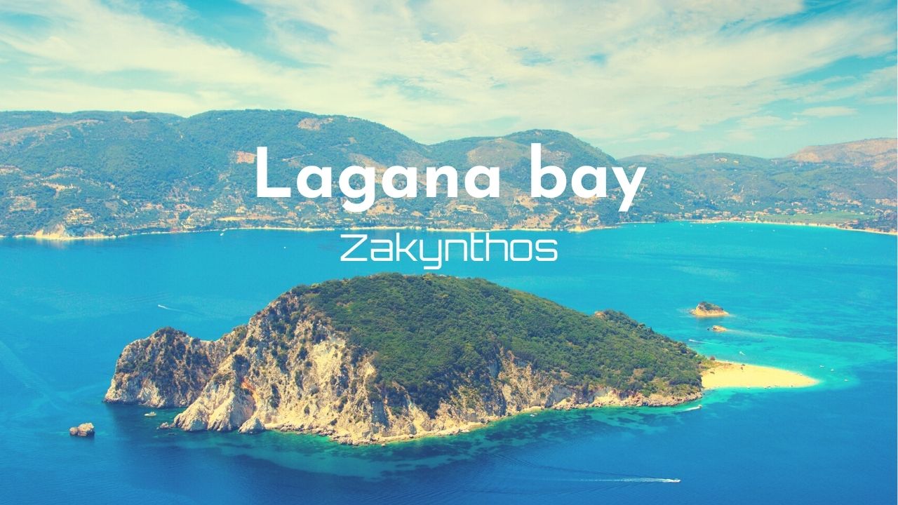
A 10 NM run southwest along the south coast to Lagana Bay Marine Park. Plan the stop as a calm-day lunch with return to Port Zakynthos for the night — Lagana has no all-weather shelter.
Round the island clockwise — west & north coast
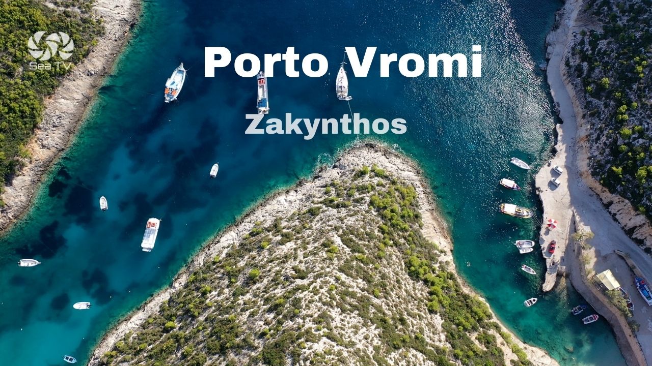
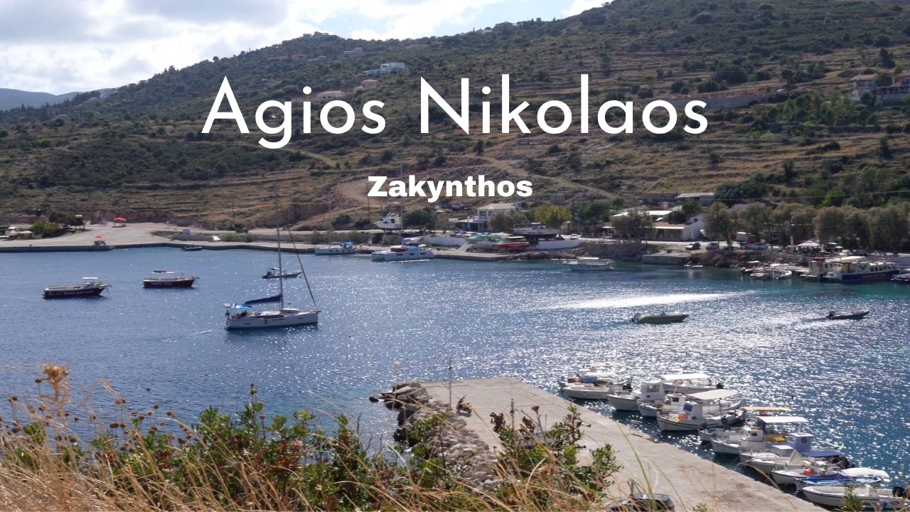
A morning passage round the south cape past Lagana, up the wild west coast to Porto Vromi and Shipwreck Beach, around the north tip to Agios Nikolaos & Blue Caves. Calm-day only — the west coast is exposed.
North to Kefalonia
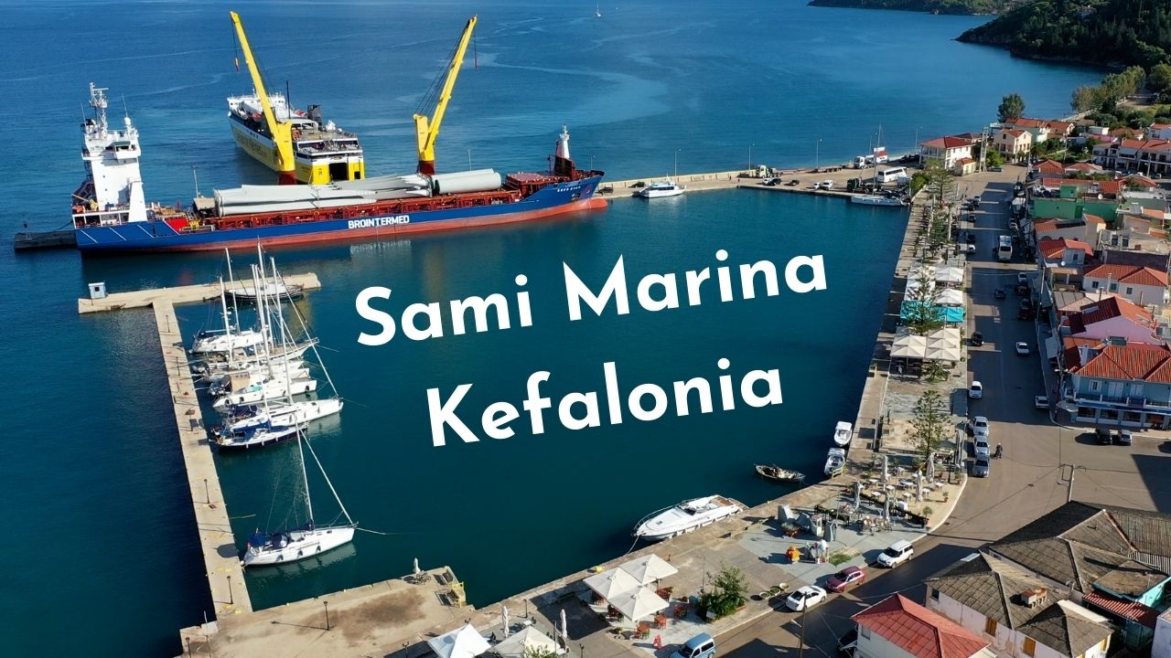
A 25–30 NM passage north across the Zakynthos–Kefalonia channel to Sami Marina on the east coast of Kefalonia. Plan an early start — the channel can build chop quickly under the afternoon thermal.
East to the mainland
For longer charter passages: 12 NM east to Kyllini on the Peloponnese mainland — useful as a transit stop on the way to or from southern Greek waters.
For full overview: Sail & Anchor around Zakynthos. For multi-day plans: 7-Day Ionian itinerary.
✅ Sailor’s Safety Checklist
▢ Reef position (900 m ESE of entrance) marked on chartplotter
▢ VHF Ch. 12 monitored on approach for ferry traffic
▢ Allowed quay sections confirmed with port staff before backing in
▢ Long stern lines + 4–6 fenders for ferry wash
▢ NE quay preferred if S forecast
▢ Customs paperwork ready if entering Greek waters
Emergency Numbers — Zakynthos
European Emergency: 112
Coastguard / Port Authority Zakynthos (VHF Ch. 12): +30 26950 28117
Olympia Radio (VHF Ch. 03/86): Greek HF/VHF maritime service
Hospital Zakynthos: +30 26950 59100
Fuel (Mini Tanker): +30 6976 465650
Watch the SeaTV Visual Pilot Video
Approach footage from the south, the manoeuvre into the harbour, ferry traffic patterns, and quay-side detail — Port Zakynthos as you’d see it from the cockpit. Free for members.
Related SeaTV Pages
If you’re sailing the south Ionian, here are the related SeaTV pages — organised by area.
Zakynthos · Other Anchorages
→ Sail & Anchor around Zakynthos — full island overview
→ Lagana Bay Marine Park — south coast turtle sanctuary
→ Porto Vromi — NW coast cliff cove
→ Agios Nikolaos & Blue Caves — north tip caves
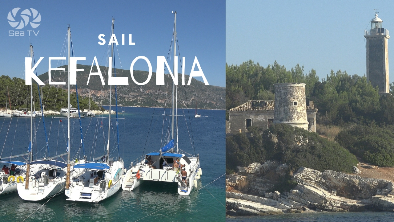
Kefalonia · 25+ NM North
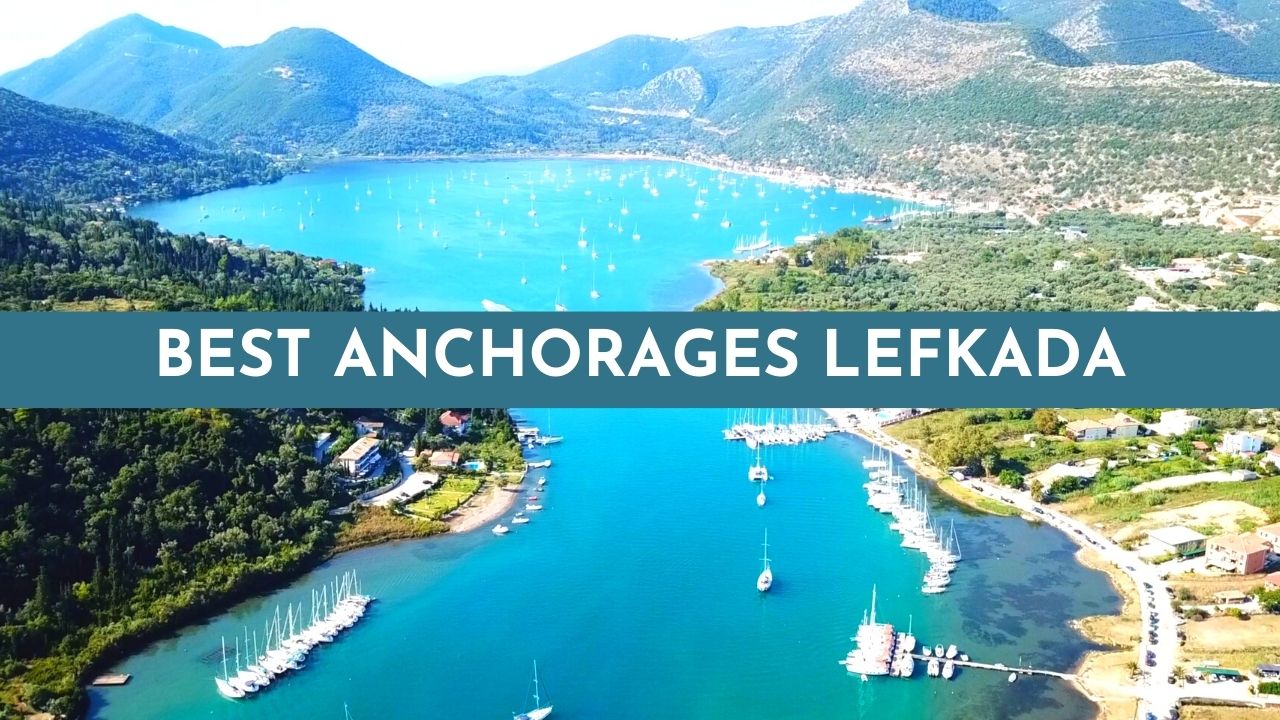
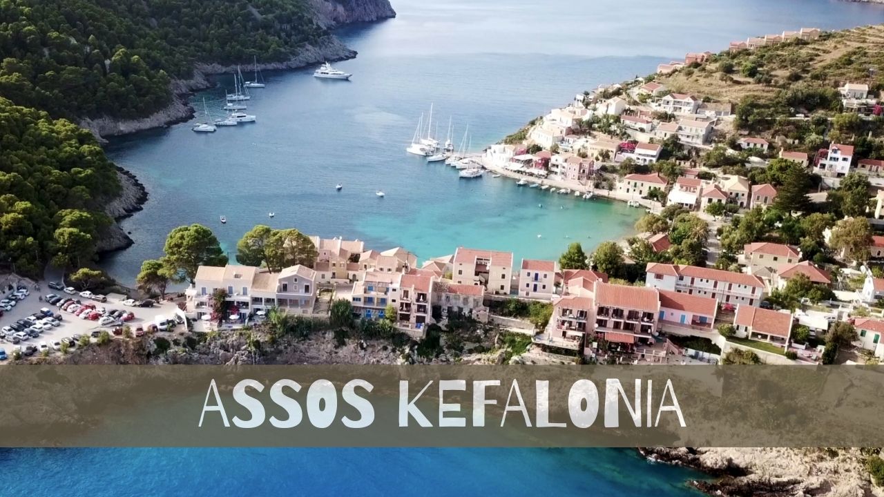
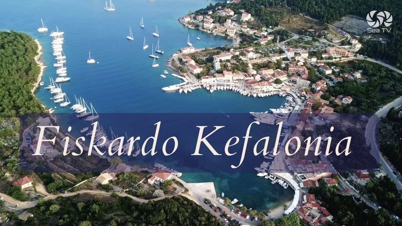
→ Kefalonia overview — Fiskardo, Sami, Assos, Myrtos
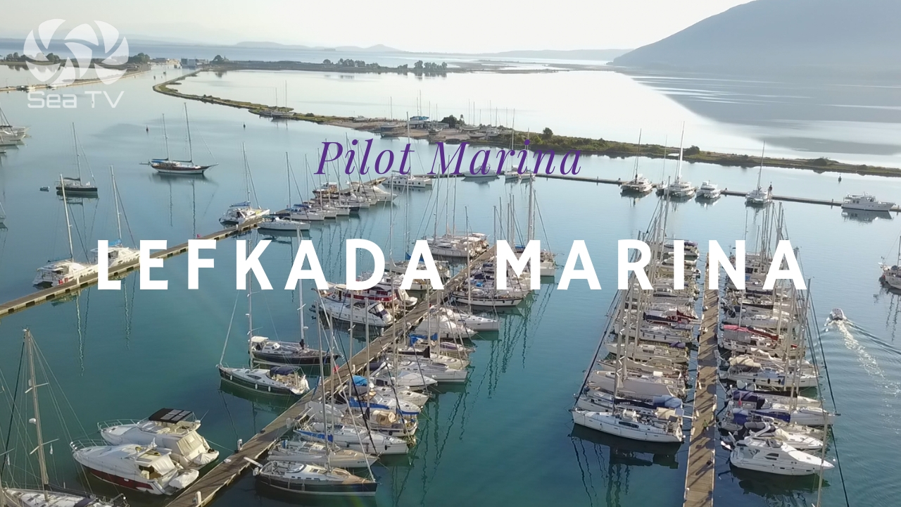
→ Sami Marina — east-coast service hub
→ Fiskardo — north-tip pastel village
→ Assos
Northern Ionian (For Longer Charters)
Continue your Zakynthos charter
West to Lagana Bay, around the island to Porto Vromi, or north to Kefalonia.
→ Ionian Islands hub · Lagana Bay · Porto Vromi · Sami, Kefalonia
“Port Zakynthos is the working harbour. Stop here for what you need — then leave it for the islanders.”
— SeaTV Visual Pilot · Zakynthos Edition