Gallery

Chart
 Sailors tips
Rent a car (or sail)- Travel around Kefalonia
Myrtos Beach in the north is a must!
Docking & Anchorages
Lagana bay national marine park Zakynthos
Porto Vromi Zakynthos
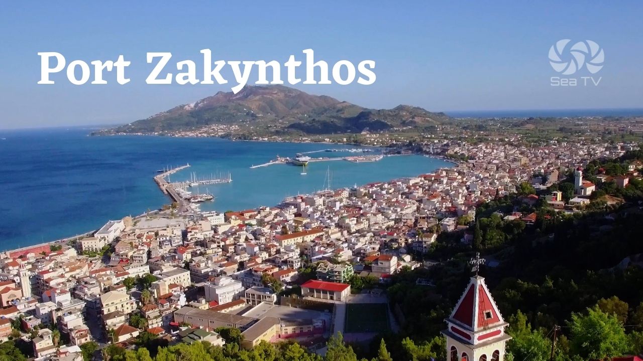
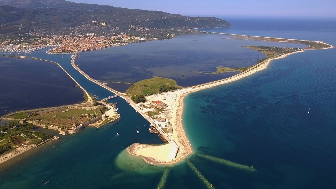
Port Zakynthos
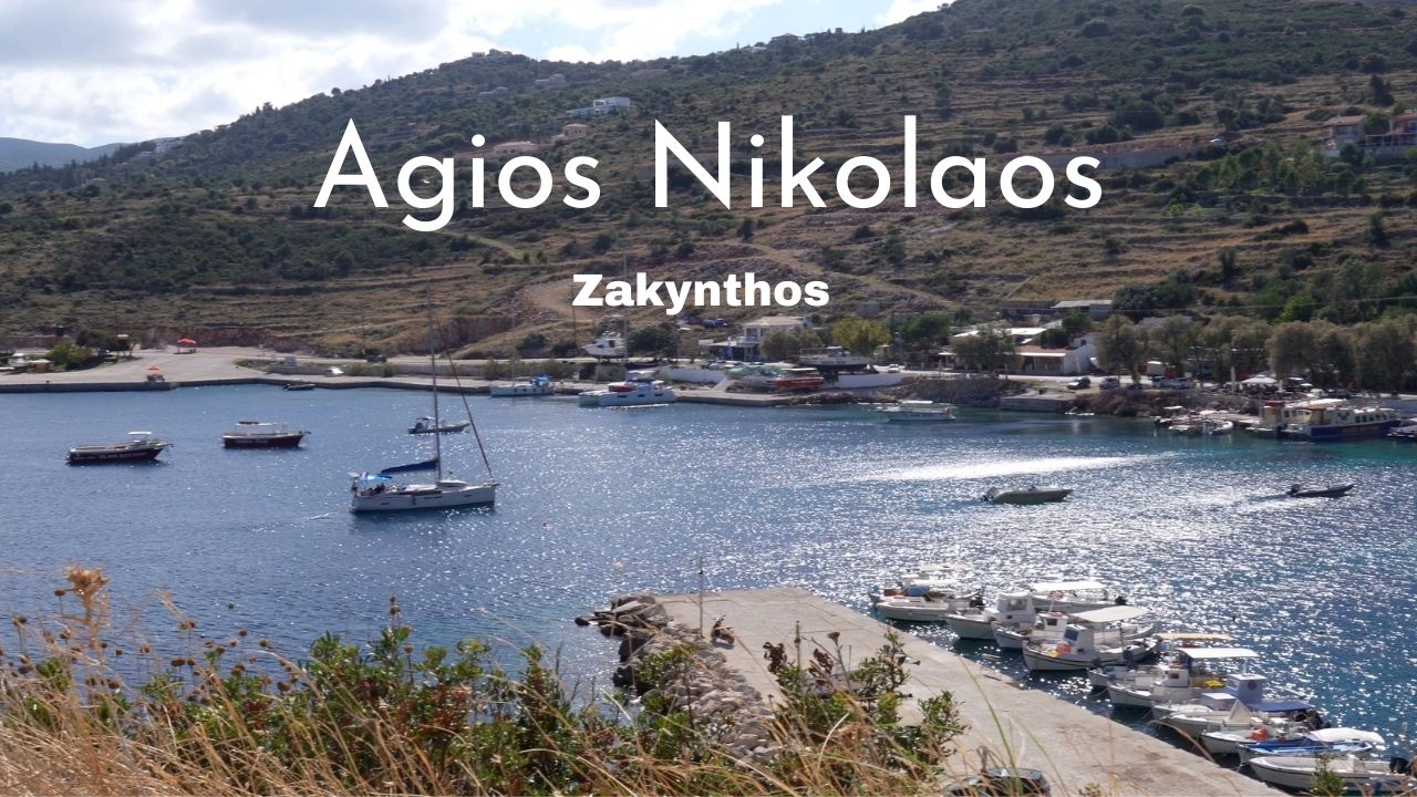
Agios Nikolaos & Blue Caves Zakynthos
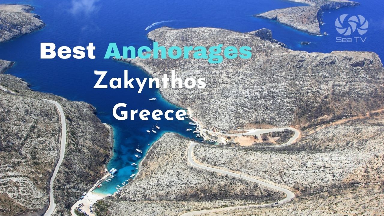
Sail & Anchor around Zakynthos Greece
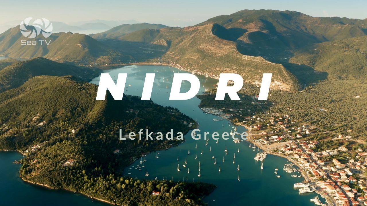
Nidri Lefkada Greece
Lefkas Town Quay Lefkada
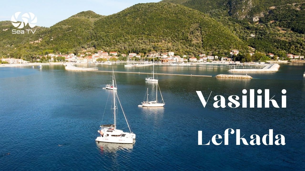
Vasiliki Lefkada
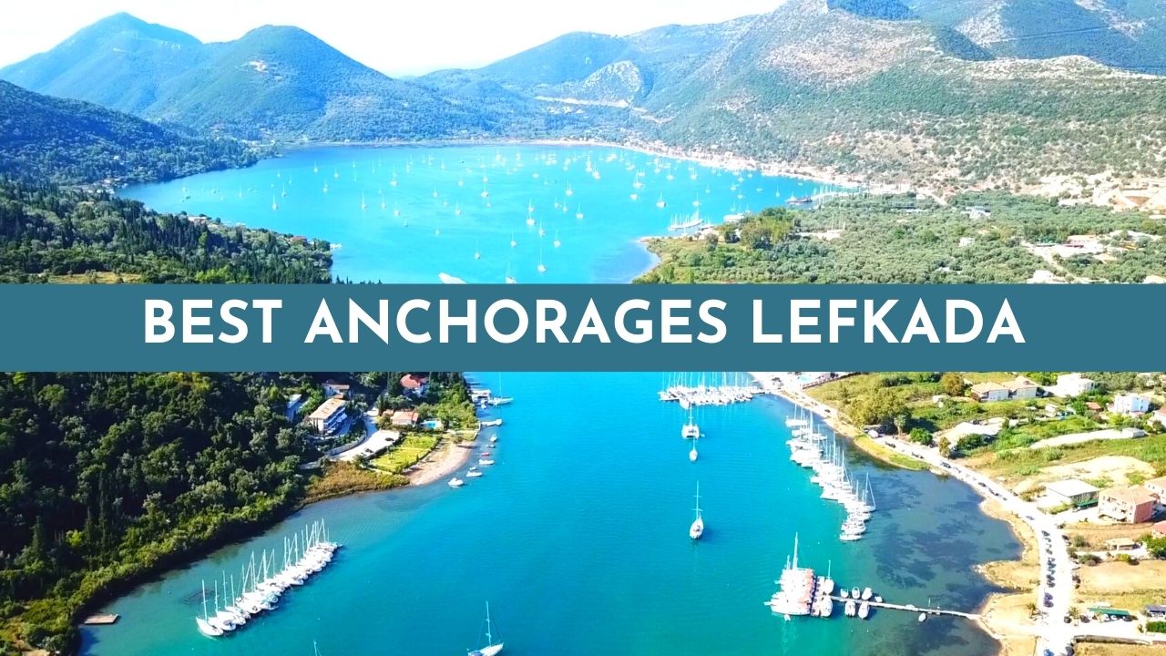
Best anchorages Lefkada Greece
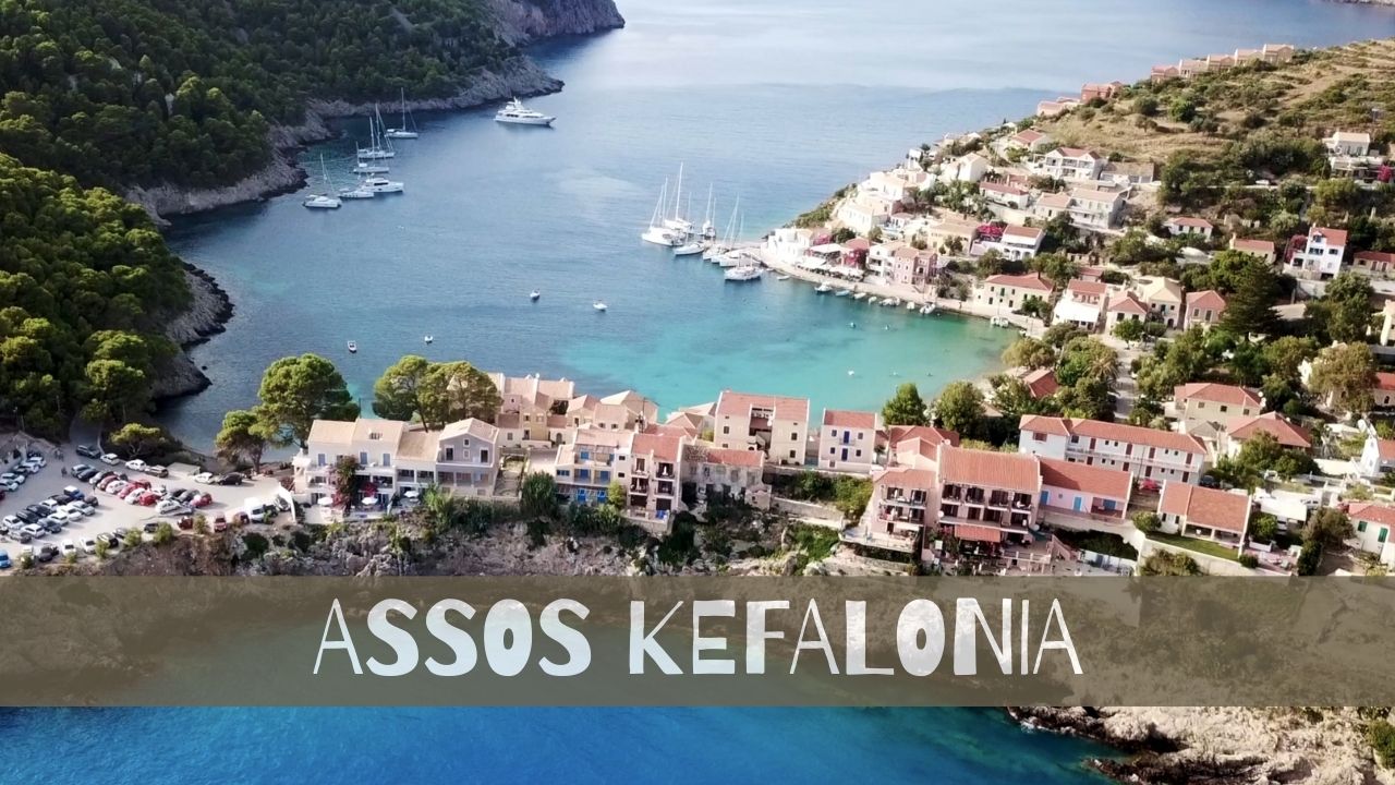
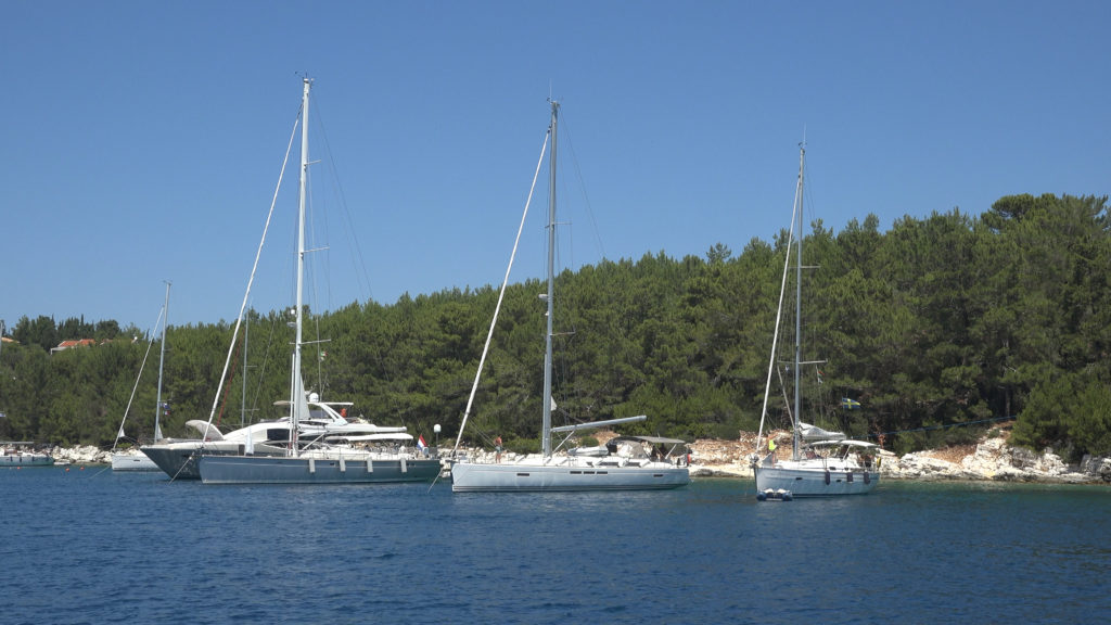
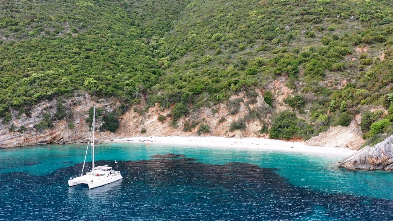
Assos Kefalonia
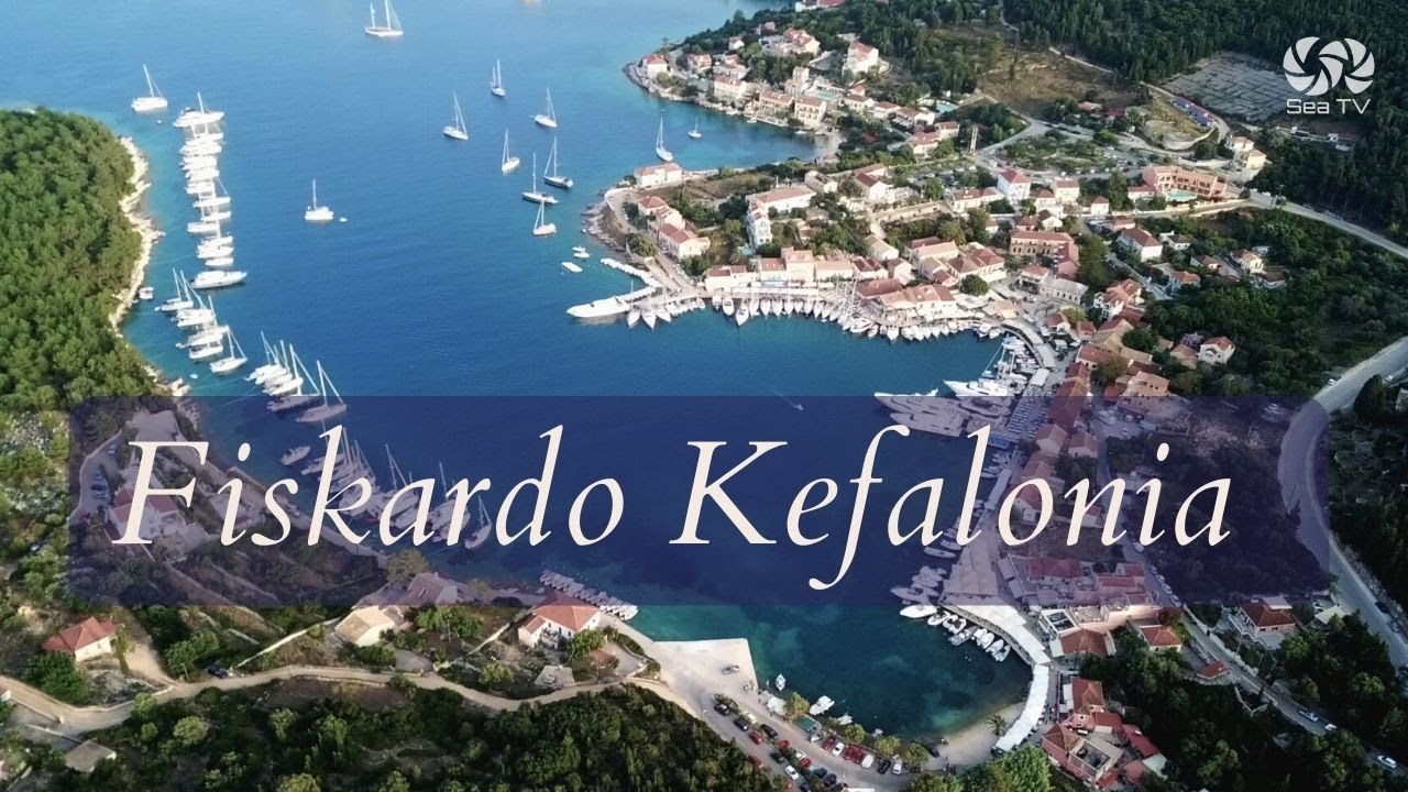
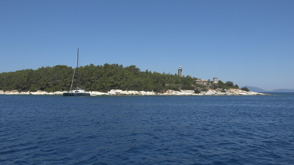
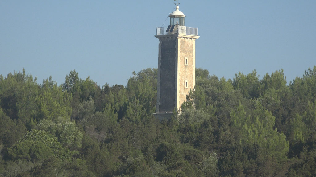
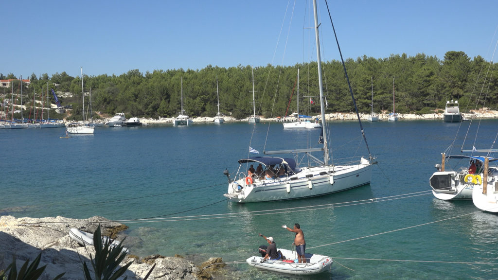
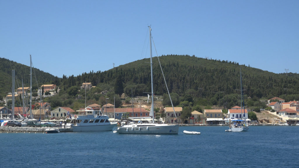
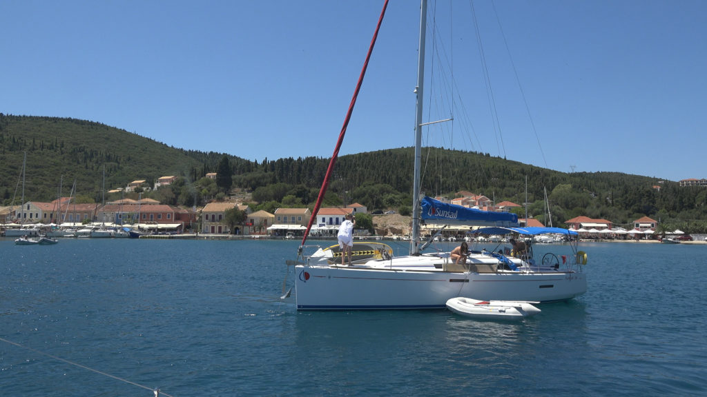
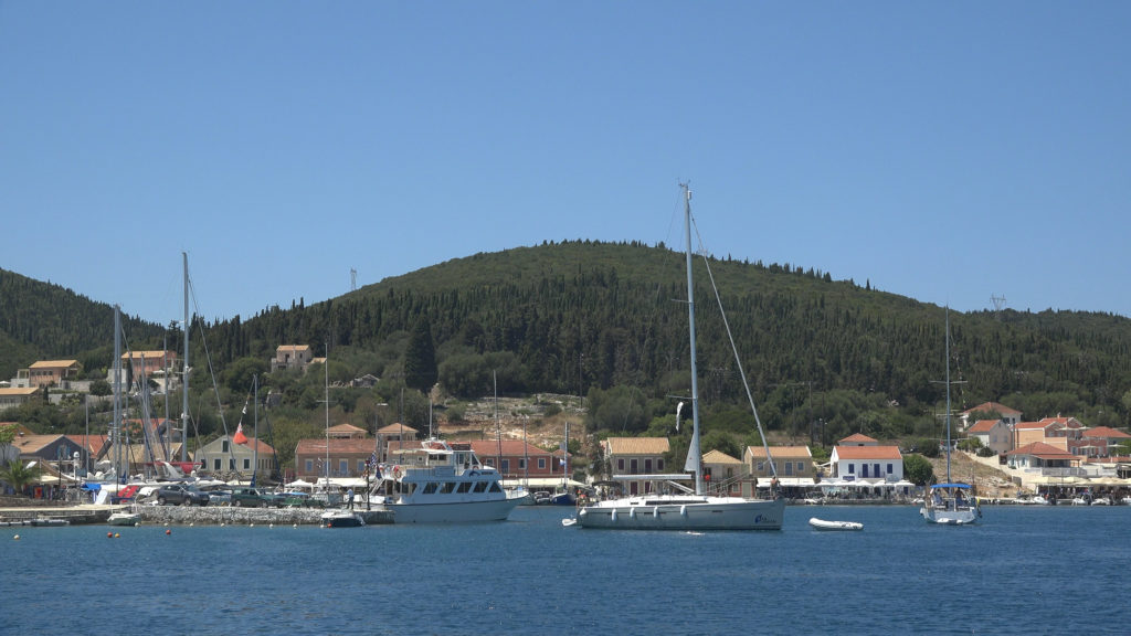
Fiskardo Kefalonia
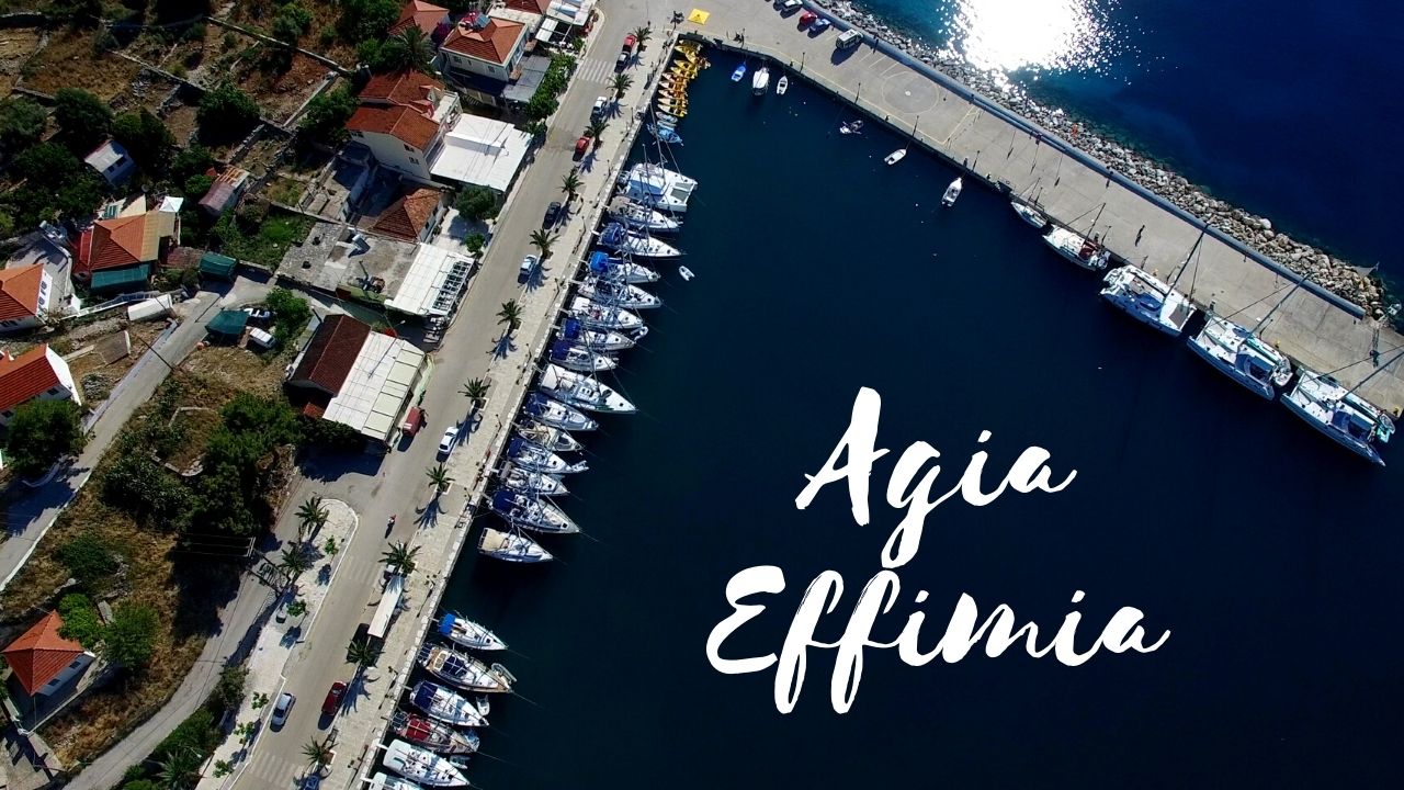
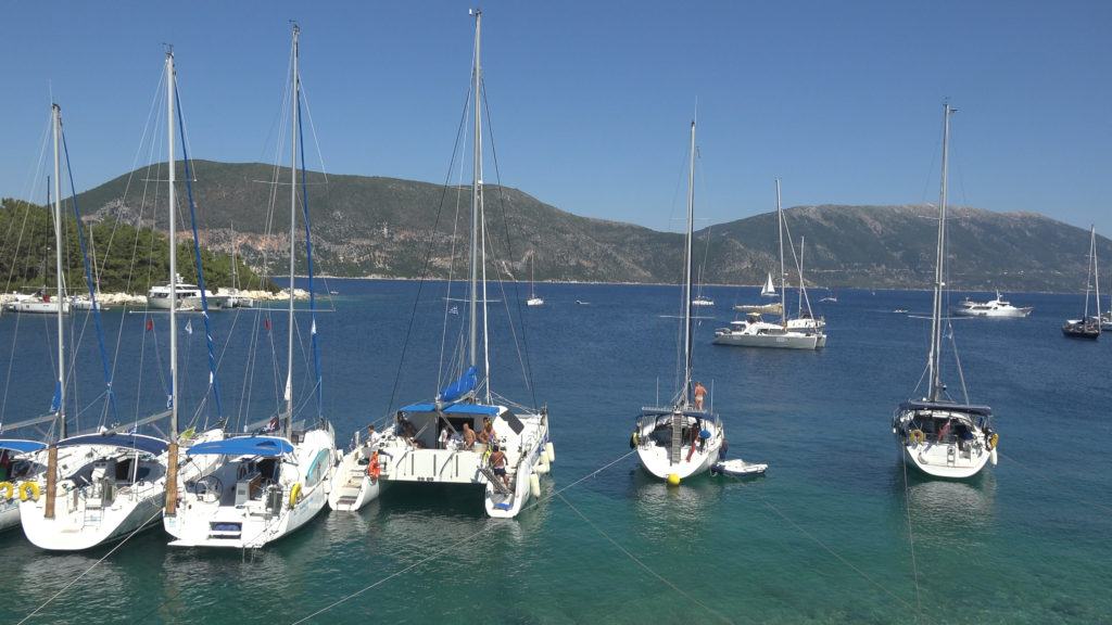
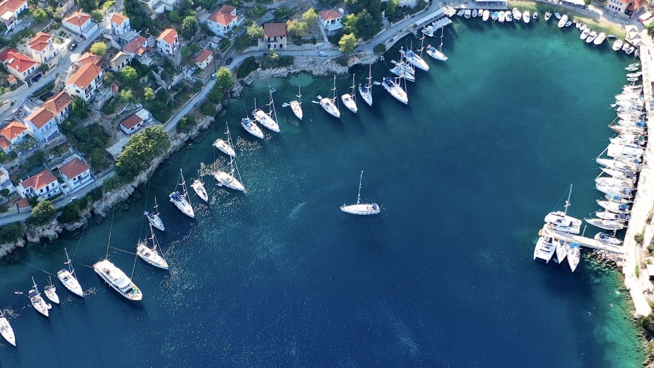
Agia Effimia Marina Kefalonia
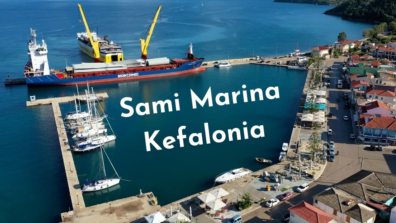
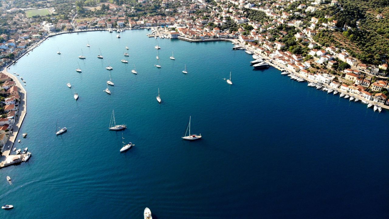
Sami Marina Kefalonia
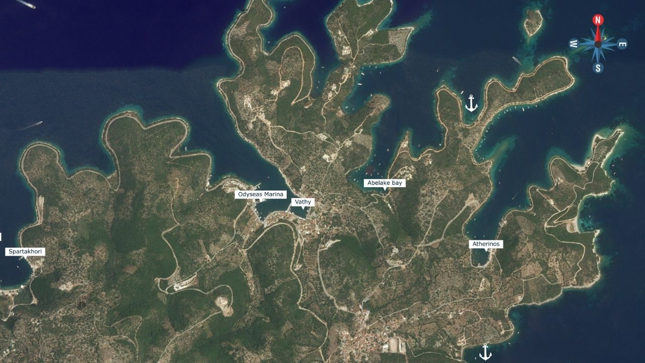
Pera Pigadhi, Ithaca
Vathy Ithaca
Kioni Ithaca
Ithaca Island Best Anchorages
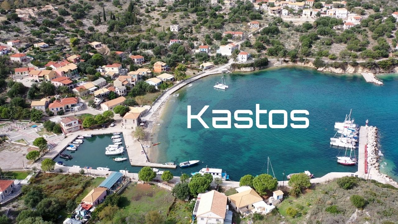
Kastos Island
Meganisi Island
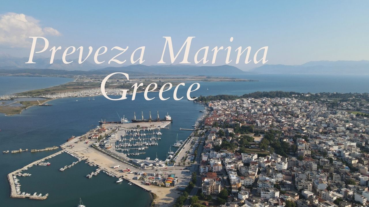
Preveza Marina
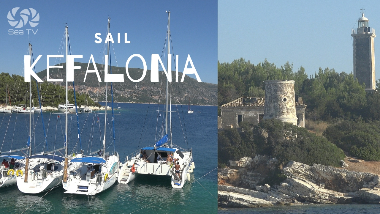
Kefalonia (Cephalonia): Fiskardho, Sami, Asos, Myrtos & Antisamos Beachs
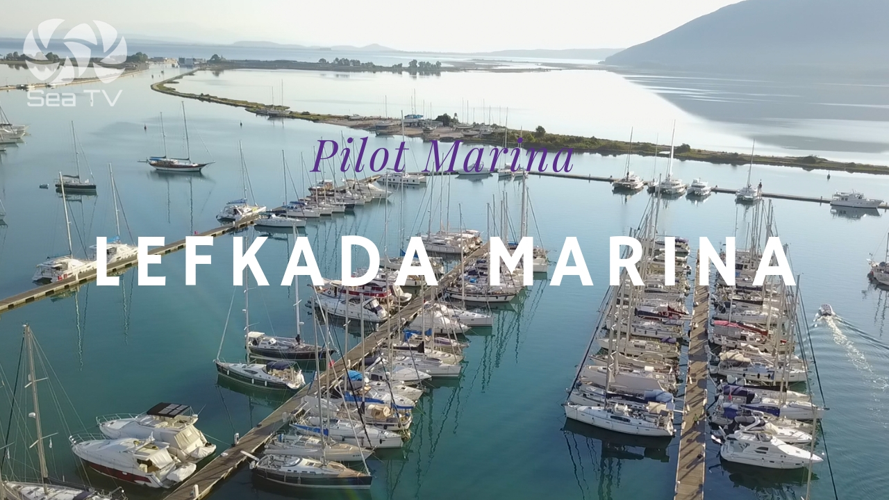
Lefkas marina, Lefkada Island
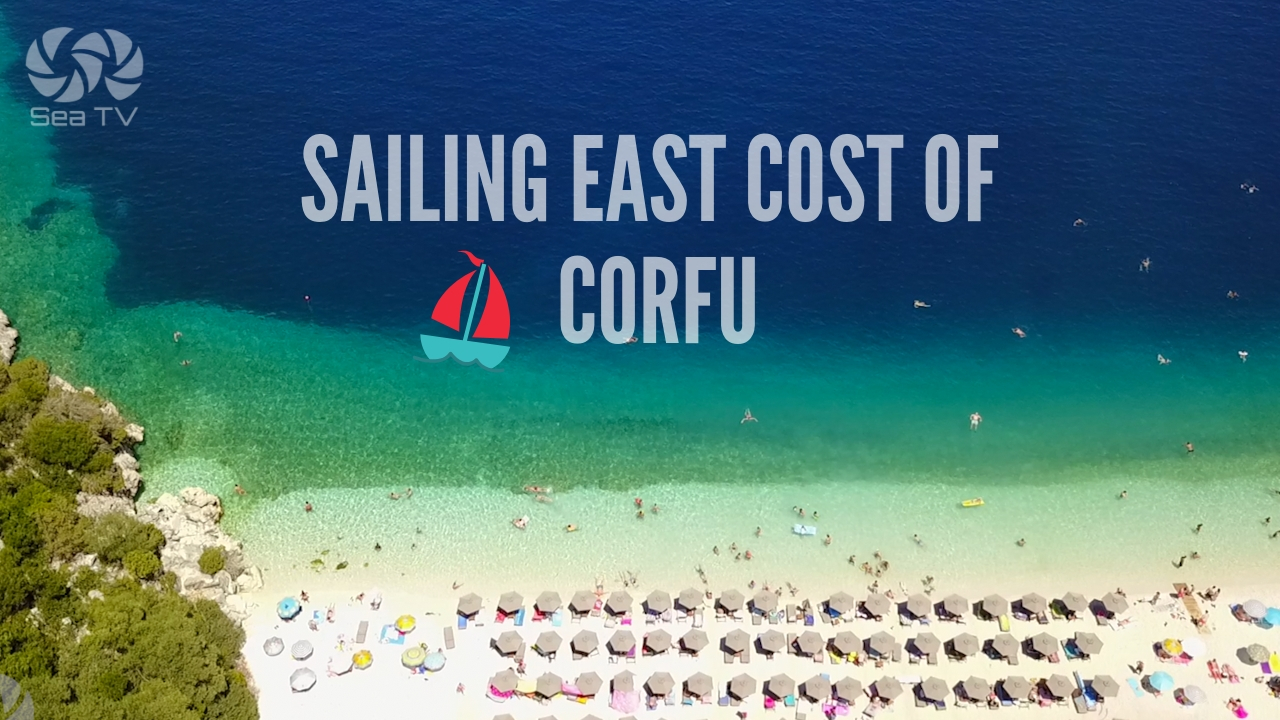
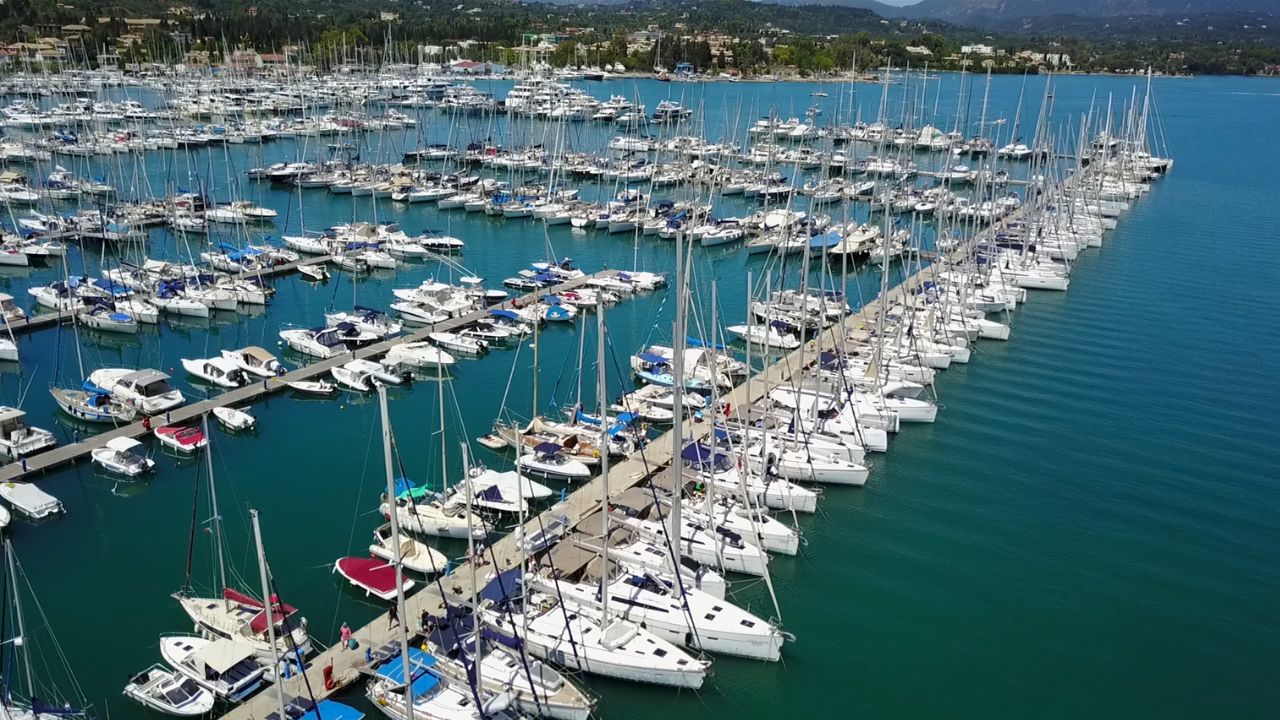
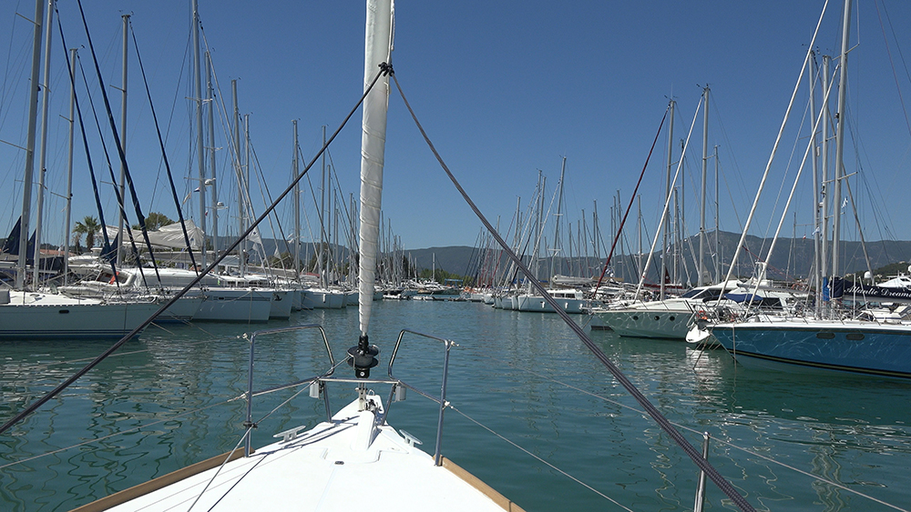
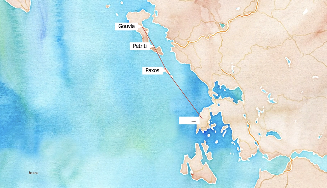
Sailing in the East cost of Corfu
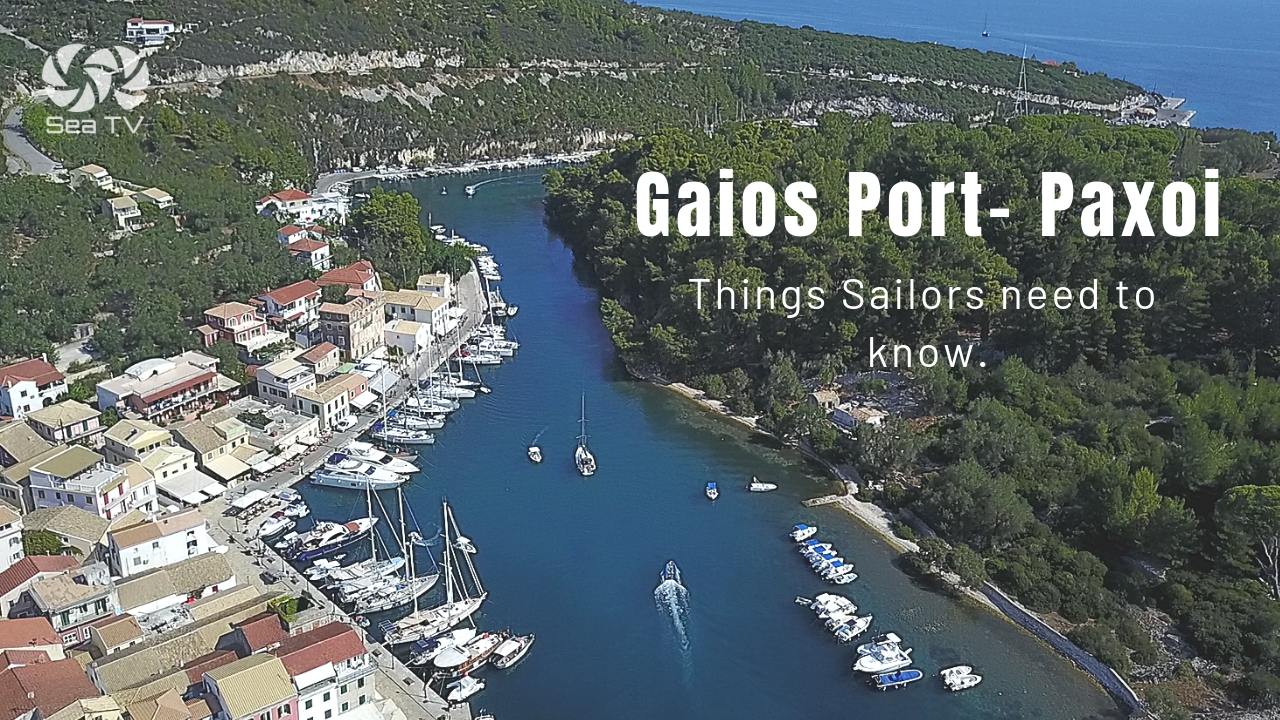
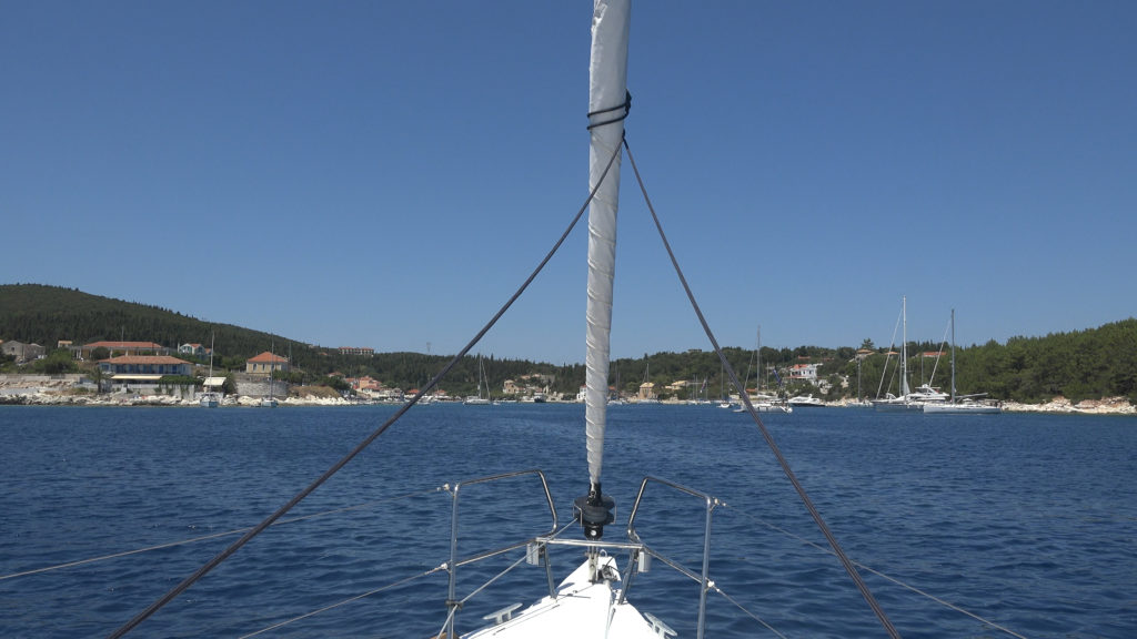
Gaios port, Paxoi, Ionian islands
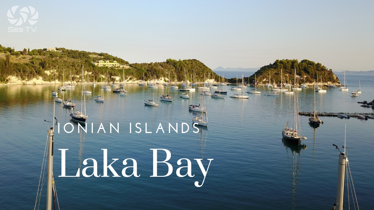
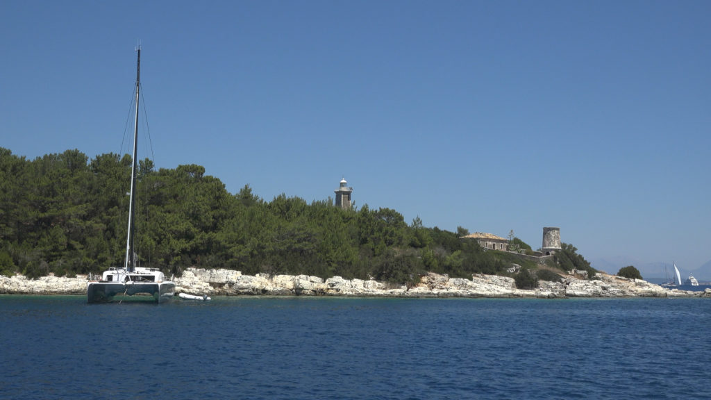
Lakka bay, Paxoi, Ionian islands

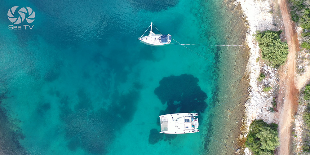
Sailing in Corfu, Petriti