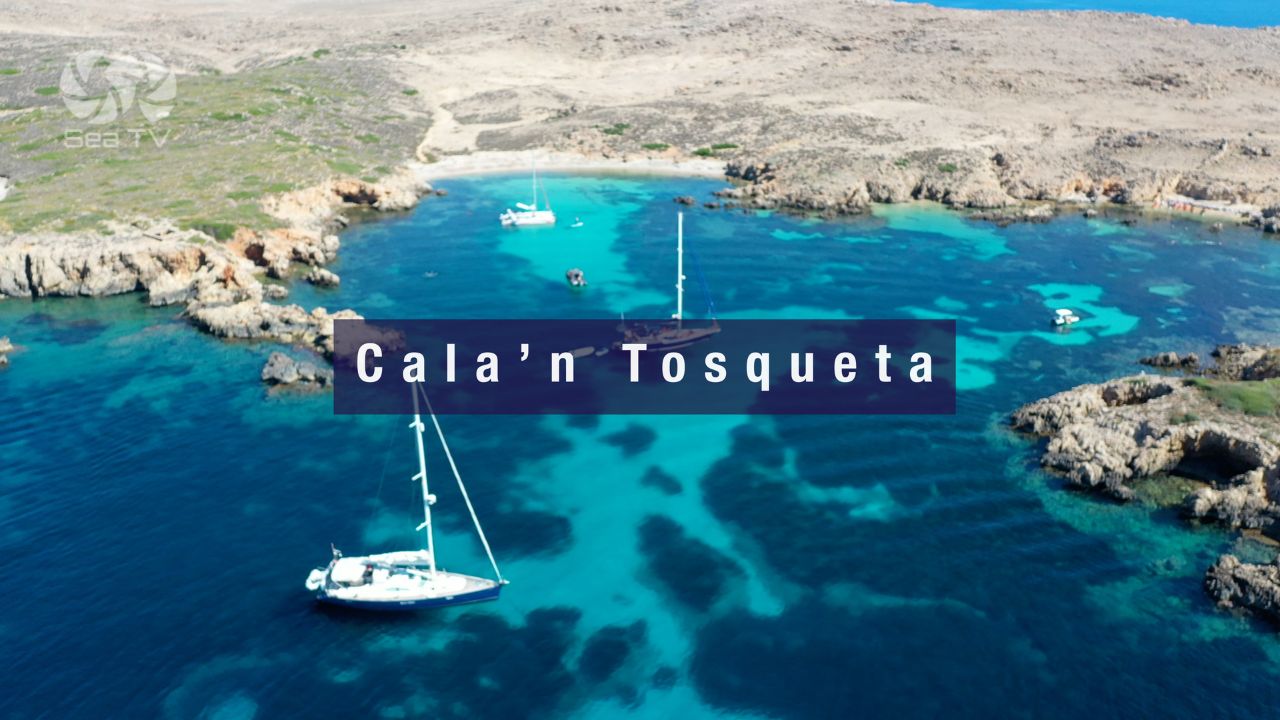
SeaTV · Spain · Balearic Islands · Menorca · Cala’n Tosqueta
Cala’n Tosqueta — The Hidden Sand Cove on the Mola de Fornells Peninsula
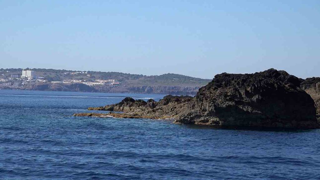
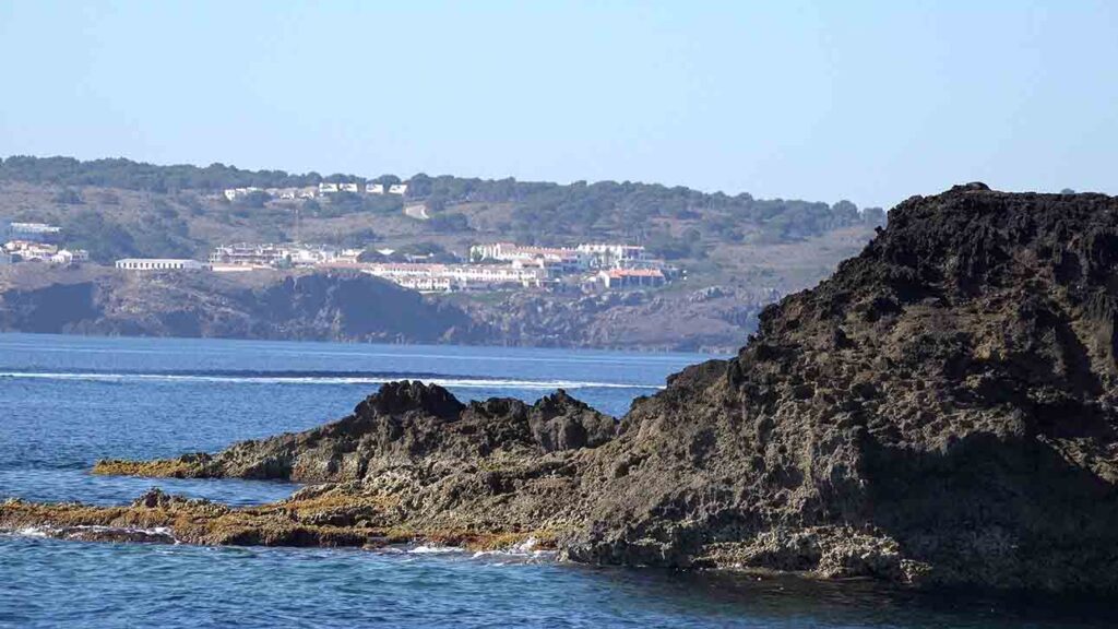
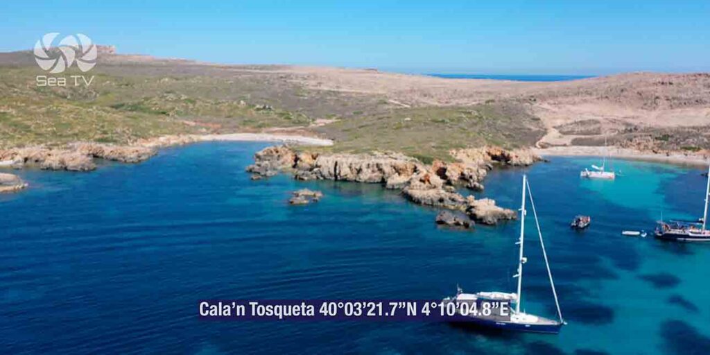
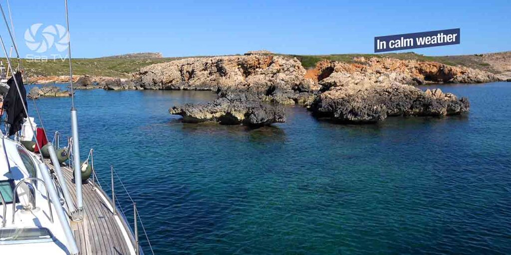
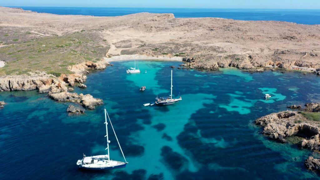
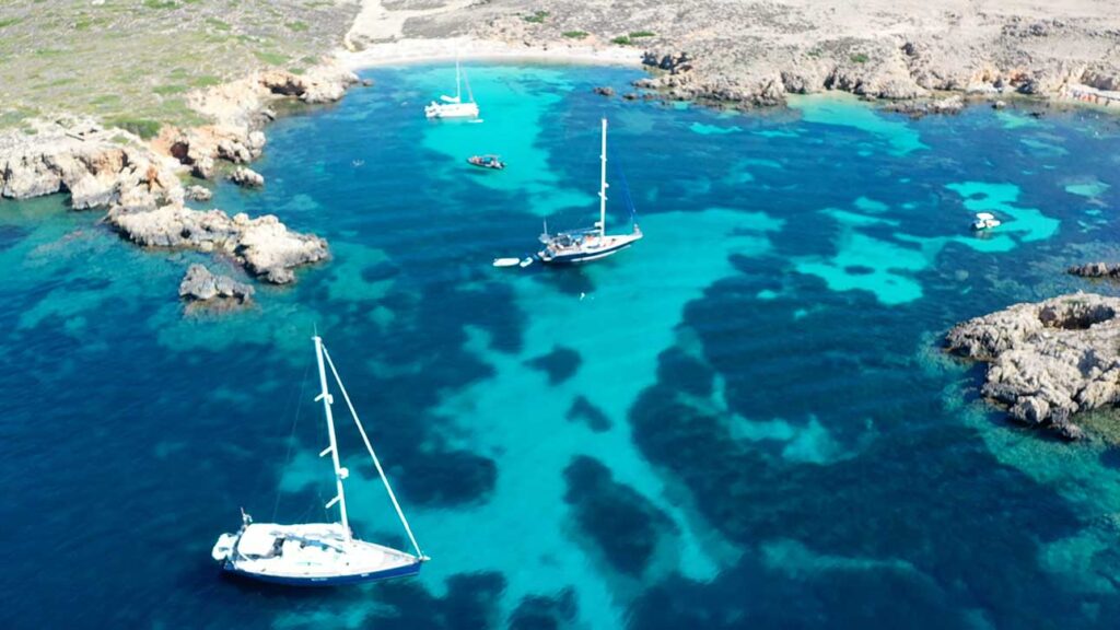
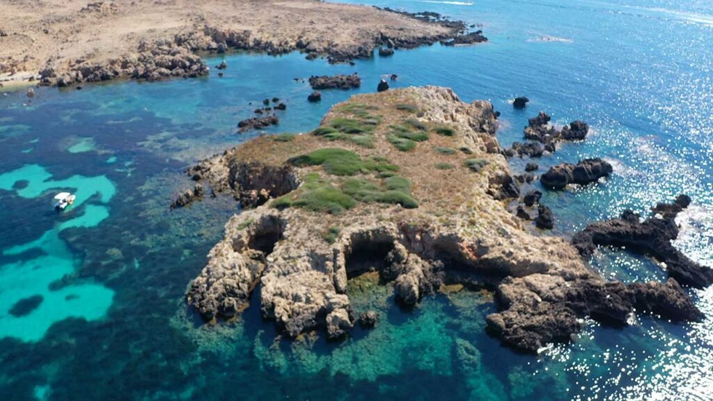
~50 m sandy beach on the N coast of the Mola de Fornells peninsula · between Punta d’es Corrals and Cap Negre · Illa d’en Tosqueta islet ~50 m offshore providing additional E/SE wind shelter · sheltered from N (Tramontana) by both headlands · access ONLY by boat from Fornells (~3 NM E) or by hike (~5.5 km from Son Saura del Nord, ~2 hours each way) · part of the Marine Reserve of North Menorca · ⚠ rocky bottom with Posidonia and hidden reefs · medium-difficulty boat access · zero services on shore.
⚠ Anchorage only · daytime calm-weather only · careful navigation around the islet + reefs · no facilities, no services, no signal
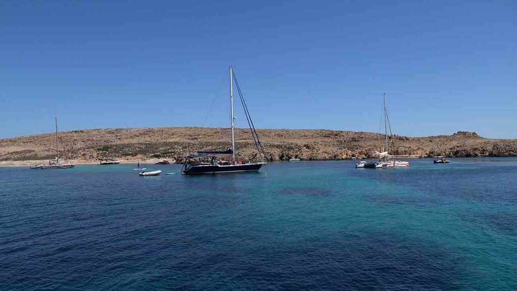
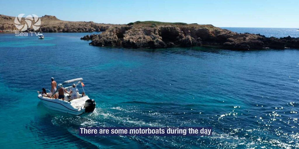
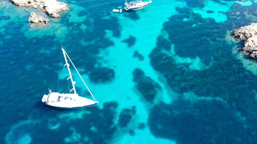
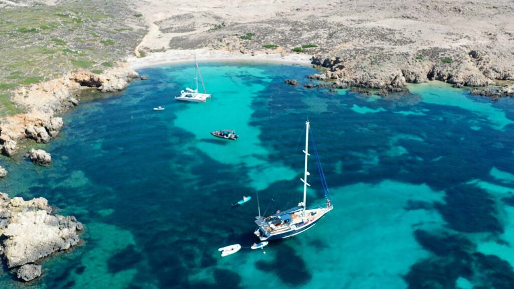
Cala’n Tosqueta is the small hidden sand cove that most cruisers don’t know about. Tucked into the N coast of the Mola de Fornells peninsula — the rugged headland that juts E from Fornells village to form the eastern wall of the Fornells Bay — the beach is barely 50 m long but earns its keep through its geometry: protected from all wind directions including the Tramontana by the cliffs of Punta d’es Corrals on the E and Cap Negre on the W, with the small Illa d’en Tosqueta islet ~50 m offshore adding shelter from E and SE. The shore is undeveloped, the bottom is the classic mix of white sand patches in turquoise water and Posidonia meadows, and you’ll usually have it to yourself. For cruisers the practical reality is that this is a calm-weather day stop reached by short hop from Fornells (~3 NM round-trip), useful for a peaceful swim away from the day-tripper traffic at Cala Pregonda or Cavalleria, and useful as a pit-stop on the long route around the N coast. Land access is hard — the only way to reach Cala’n Tosqueta on foot is a 5.5 km hike from Son Saura del Nord, which keeps the beach quiet even in peak summer.
⚠ Reality check before you anchor:
→ ⚠ Hidden reefs around the islet · numerous rocks near the coast and around Illa d’en Tosqueta · check nautical chart + slow approach · medium-difficulty access
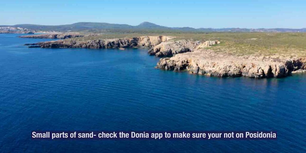
→ ⚠ Rocky + Posidonia bottom · find sandy patches only · use Posidonia Maps app · €1,200+ fines for anchoring on seagrass
→ ⚠ Marine Reserve of North Menorca · fishing restrictions apply · respect the protected status
→ ⚠ Zero services · no taverna, no shop, no fresh water, no signal in some sections · bring everything, take everything
→ ⚠ Don’t confuse with Cala Turqueta (south coast, near Ciutadella) · these are completely different places
⚓ Cala’n Tosqueta at a Glance
Coordinates
~40°04’N · 4°10’E (Mola peninsula N coast)
Type
Anchorage (NOT a marina)
Beach length
~50 m sandy
Headlands
Punta d’es Corrals (E) · Cap Negre (W)
Offshore islet
Illa d’en Tosqueta (~50 m offshore)
Shelter
All wind directions including Tramontana
Bottom
Rocky + Posidonia + sand patches
Sea access difficulty
Medium · hidden reefs around the islet
Land access
5.5 km hike from Son Saura del Nord (~2 hr)
Distance · Fornells
~3 NM E (closest base)
Status
Marine Reserve of North Menorca
Best for
Calm-weather day stop · snorkelling · solitude
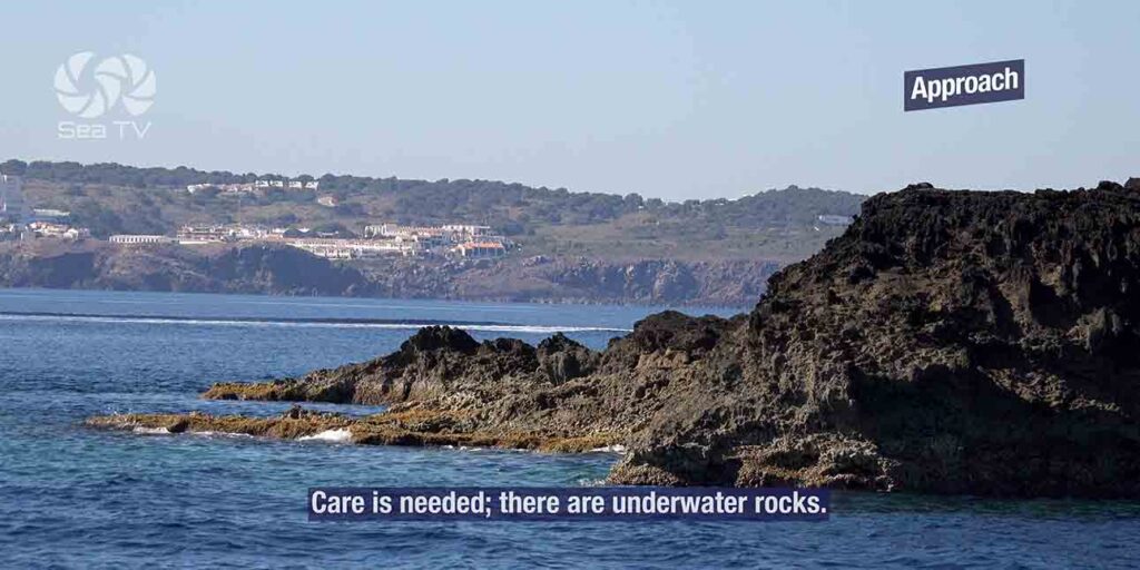
Approach & Anchoring
From Fornells (~3 NM round-trip)
→ Leave Fornells Bay heading N out of the entrance.
→ Round Punta de la Mola (the NW tip of the peninsula).
→ Continue E along the N coast of the Mola peninsula past La Mola cliffs.
→ Identify the cala by the small Illa d’en Tosqueta islet ~50 m offshore.
→ ⚠ Slow approach · multiple submerged rocks around the islet + along the coast.
Anchoring
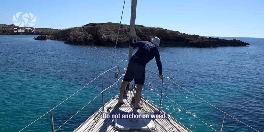
→ Pass between the islet and the shore carefully · check nautical chart for the safe channel.
→ Drop in 3-5 m on the inner side of the islet · sand patches visible from the surface in clear water.
→ Find a sandy patch only · most of the bottom is Posidonia or rock.
→ Reverse hard to set · once held, the islet + headlands give all-round shelter.
Snorkelling & the Marine Reserve
Cala’n Tosqueta sits inside the Marine Reserve of North Menorca — designated 1999 to protect the seagrass meadows + fish populations of the rugged N-coast cliffs.
→ Excellent snorkelling · the rocky bottom + Posidonia + protected status mean abundant marine life
→ Common species: bream, salema, peacock wrasse, octopus, occasional grouper, schools of damselfish
→ ⚠ Fishing restrictions apply within the marine reserve · catch-and-release only in some zones, no spear-fishing
→ Mediterranean visibility 10-15 m on calm days · the islet’s seabed is the best snorkelling spot
Land Access — The Long Hike
Reaching Cala’n Tosqueta on foot:
→ Drive from Maó towards Fornells on the Me-7 · turn off at signs for Son Saura del Nord
→ Park at Son Saura del Nord (~5.5 km from the cala)
→ Follow the path N parallel to the coast to Cala Pudent (~1 hour) · also a worthwhile cove
→ Beyond Cala Pudent the path becomes faint · continue N on the Mola peninsula plateau
→ Total time: 2 hours each way · bring water + food + sun protection · no facilities en route
Boat-only access from the centre of La Mola peninsula (~2 hours hike from Son Parc) is also possible.
Old name: “La Forqueta” on historical maps — now Cala’n Tosqueta or Cala Tosqueta.
⛵ Day Sails Around Tosqueta
→ Cala Pudent (~1 NM W) · sister cove · also calm-weather only · part of the same protected coastline
→ La Mola cliffs + Punta Pentinat (~2 NM W) · sea-cliff base of the peninsula · jet-ski tour route
→ Es Macar de Sa Llosa (~3 NM W) · pebble cove · soft-drink stop on tour-boat circuits
→ Fornells Bay (~3 NM SE) · the closest service base + harbour
→ Cala Pregonda (~5 NM W) · the iconic red-rock beach with offshore islets
→ Cap de Cavalleria (~7 NM W) · Menorca’s northernmost point + 1857 lighthouse
→ Cap de Favàritx (~10 NM E) · the iconic 1922 black-and-white striped lighthouse
Emergency & Practical Contacts
Emergency: 112 (national)
Maritime SAR (Salvamento Marítimo): 900 202 202
VHF distress: Channel 16
Closest service marina: Port d’Addaia +34 971 188 871 (~10 NM E)
Closest village: Fornells (~3 NM E by sea)
Hospital Mateu Orfila (Maó): +34 971 487 000
⛵ Continue Exploring Menorca
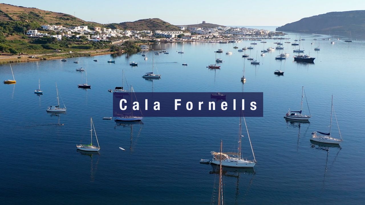
→ Cala Fornells — Fornells village swimming spot
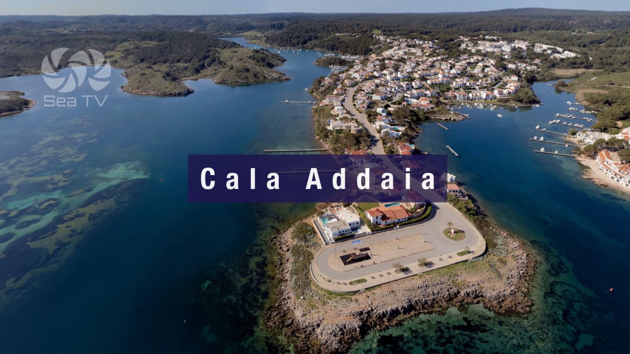
→ Cala Addaia (Port d’Addaia) — 168-berth NE marina
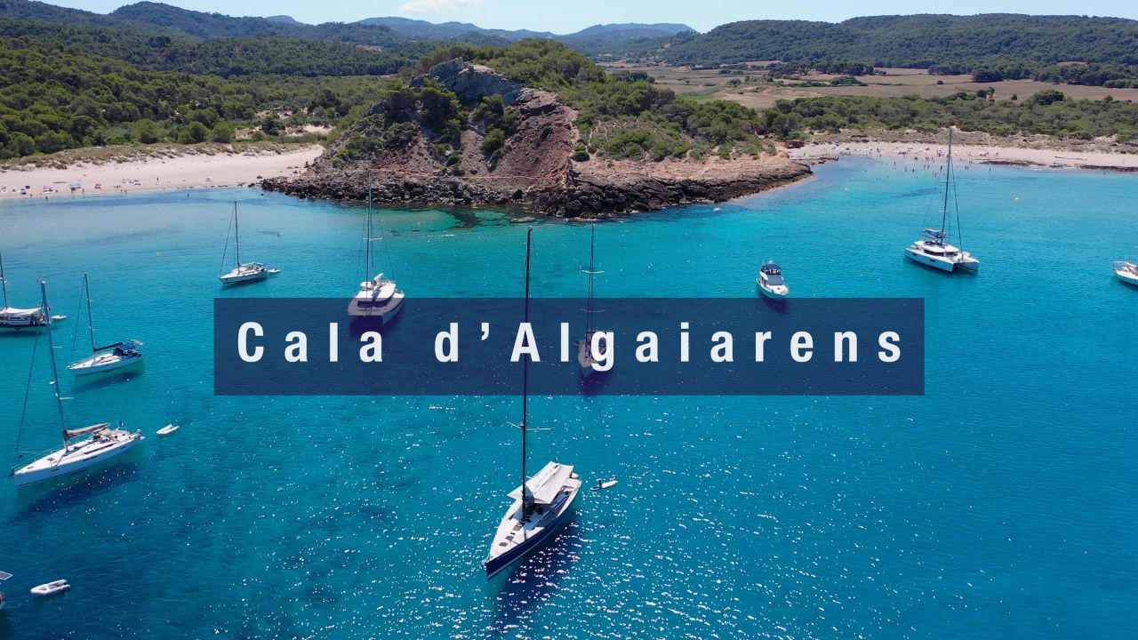
→ Cala Algaiarens (La Vall) — NW double virgin bay
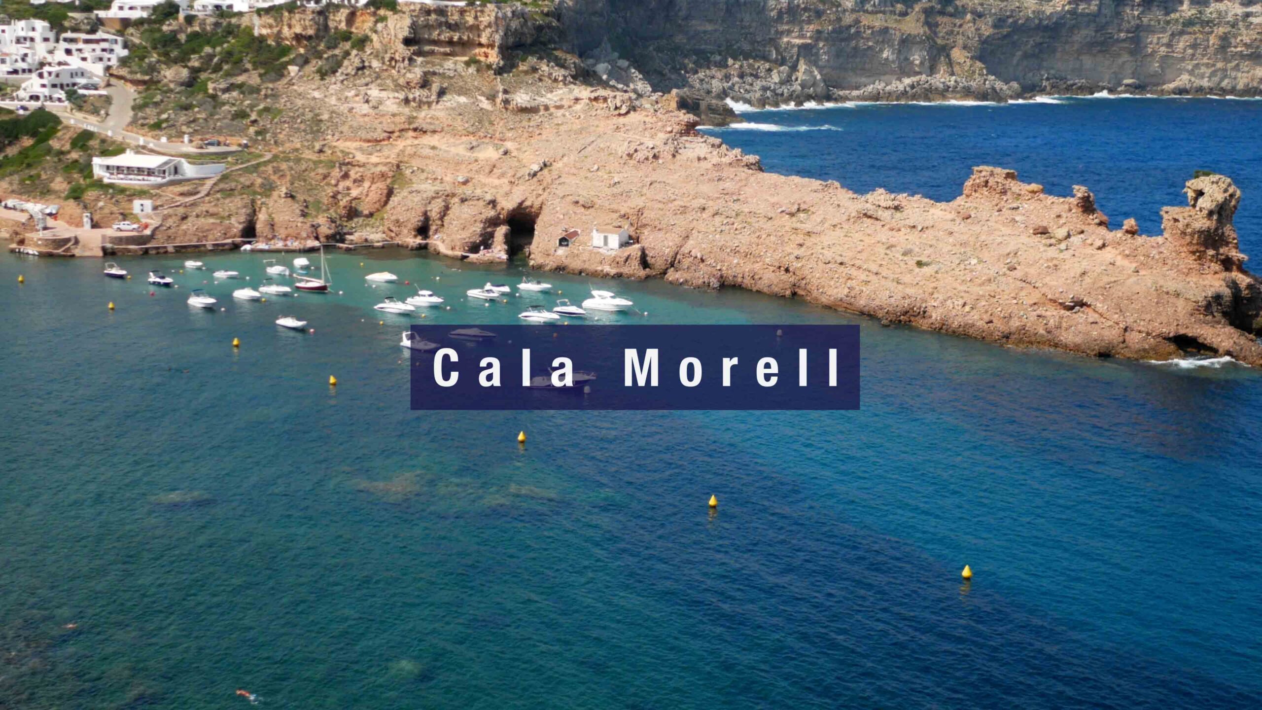
→ Cala Morell — NW + 14C BCE necropolis
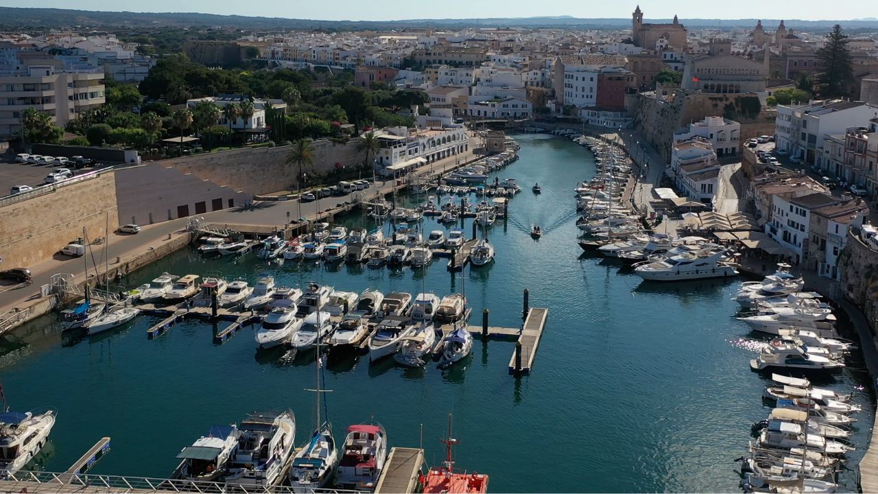
→ Port de Ciutadella — the medieval capital · 1,170 m natural inlet
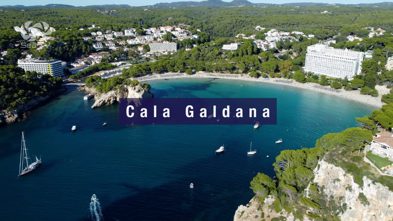
→ Cala Galdana — south-coast horseshoe
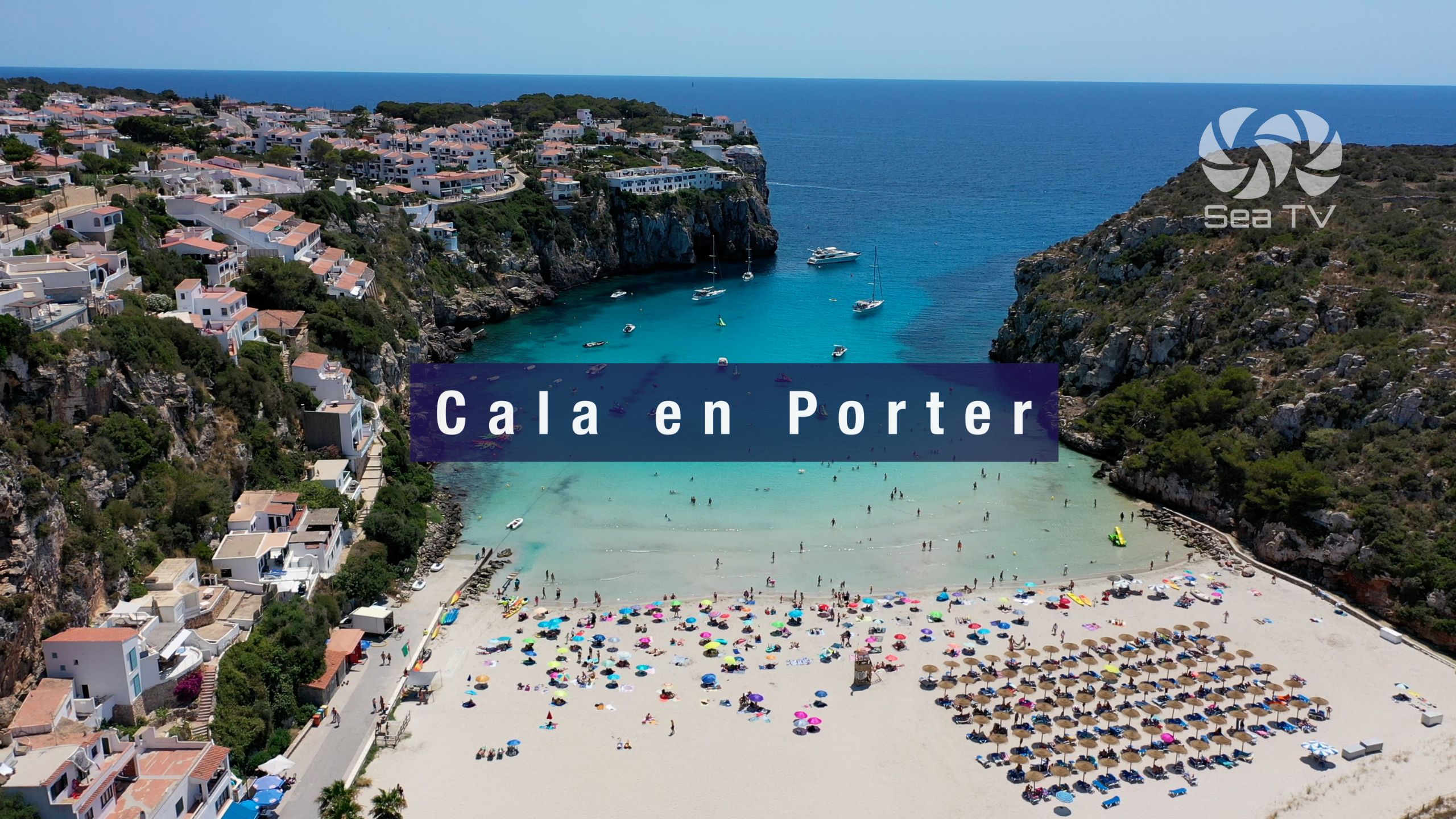
→ Cala’n Porter — Cova d’en Xoroi
“Cala’n Tosqueta is the small hidden sand cove that most cruisers do not know about · about fifty meters of sandy beach on the north coast of the Mola de Fornells peninsula between Punta d’es Corrals on the east and Cap Negre on the west with the small Illa d’en Tosqueta islet about fifty meters offshore providing additional shelter from east and southeast · the geometry is the key the cliffs of both headlands plus the islet shelter from all wind directions including the Tramontana which makes this one of the few truly sheltered north coast anchorages on Menorca · approach from Fornells about three nautical miles round Punta de la Mola the northwest tip of the peninsula and continue east along the north coast past La Mola cliffs and identify the cala by the islet · slow approach with the nautical chart open because numerous submerged rocks around the islet and along the coast medium difficulty access · drop in three to five meters on the inner side of the islet on a sandy patch use the Posidonia Maps app and reverse hard to set · the cala sits inside the Marine Reserve of North Menorca designated nineteen ninety nine to protect the seagrass meadows and fish populations of the rugged north coast cliffs so excellent snorkelling with bream salema peacock wrasse octopus occasional grouper and Mediterranean visibility ten to fifteen meters · zero services on shore no taverna no shop no fresh water no signal in some sections so bring everything take everything · land access is hard the only way to reach Cala’n Tosqueta on foot is the five and a half kilometer hike from Son Saura del Nord which keeps the beach quiet even in peak summer · this is the calm weather day stop you make for a peaceful swim away from the day tripper traffic at Cala Pregonda or Cavalleria and a useful pit stop on the long route around the north coast of the Mola peninsula.”
— SeaTV · Menorca · Cala’n Tosqueta · The Hidden Cove on Mola de Fornells