SeaTV · Thailand · Eastern Gulf · Trat Province · Koh Rang Marine Park
Sailing Koh Rang Marine Park — Snorkelling, Pinnacle Rocks & the 6 Anchorages
The marine sanctuary at the heart of the Eastern Gulf · 6 anchorages around Koh Rang island · A20 SE mooring buoys (snorkelling), ⚠ A21 Pinnacle Rock SE (NO anchor — dinghy/SUP only · big fish), A22 NW anchorage (light winds only), ⚠ A23 Pinnacle Rock NW (NO anchor), A24 mid 8-12m, A25 Park HQ (water available, jungle hikes). Inside Mu Ko Chang National Park · 200฿/person + 100฿/hull = 5-day permit · NO fishing.
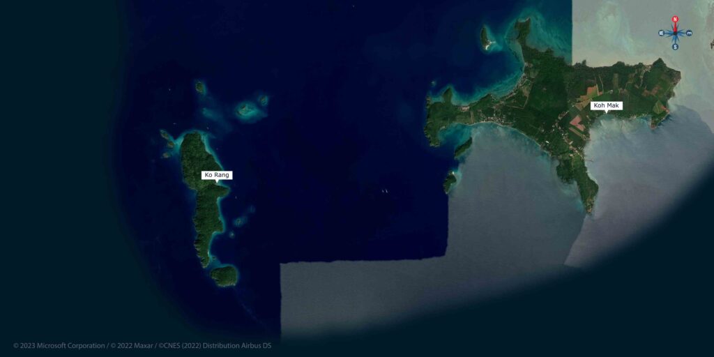
Photos & coordinates: see the interactive map below · charts 120 (Koh Chang) + 151 (S to Koh Kut)
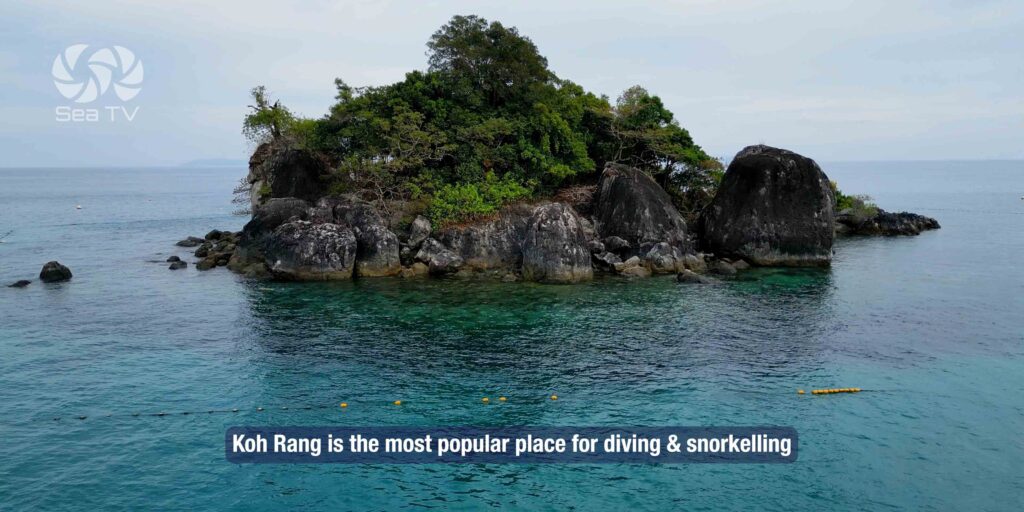
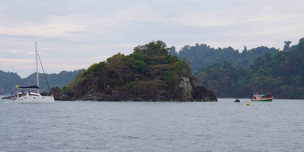
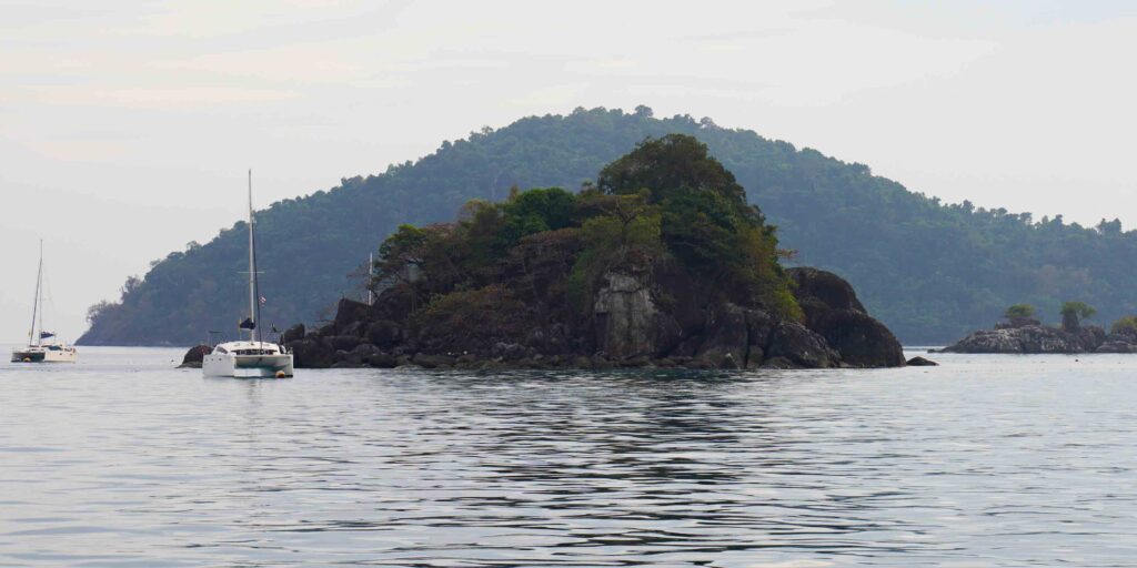
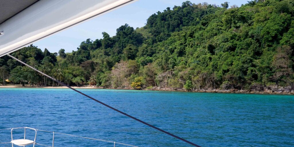
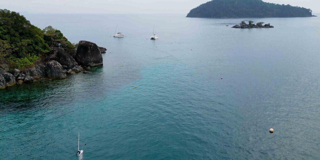
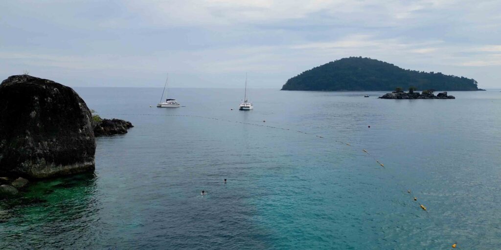
Koh Rang is the marine sanctuary at the heart of the Eastern Gulf charter — a sub-park of Mu Ko Chang National Park covering Koh Rang itself plus a cluster of smaller islands and pinnacle rocks. Coral reefs are protected, fishing is prohibited, and as a result the underwater life here is the richest in the cluster. Big fish at the pinnacles — the kind you don’t see at the unprotected anchorages. Mooring buoys at A20 keep yachts off the coral. Plan a half-day or a full day here on the way down to Koh Kut, or as a side-trip from Koh Mak.
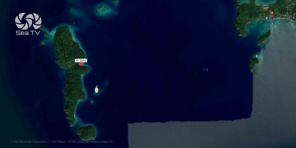
️ Interactive Map — Eastern Gulf Anchorages
→ Full interactive map of the SeaTV Eastern Gulf anchorages · use the layer toggles to filter by category · pinch to zoom on mobile · charts 120 (Koh Chang) + 151 (S to Koh Kut)
⚠ Reality check — Koh Rang Marine Park rules:
→ Park fee: 200฿/person + 100฿/hull · valid 5 days · pay at A25 (Park HQ)
→ ⚠ NO fishing anywhere in the park · this is what makes the snorkelling so good — keep it that way
→ Mooring buoys at A20 — use them · do NOT drop anchor on coral
→ ⚠ A21 + A23 are PINNACLE ROCKS, not anchorages · approach by dinghy or SUP only · the rocks rise sharply from depth
→ ⚠ A22 NW anchorage NOT in NE-monsoon · light winds only · exposed to the prevailing wind direction
→ ⚠ Most yachts use Koh Rang as a day stop · only A25 (Park HQ) is suitable overnight · plan to be back in NE-protected anchorage by 16:00
→ ⚠ Sandbars between islands in some channels · stay in deeper water and read the chart carefully
⚓ Koh Rang at a Glance
Anchorages
6 (A20 + A21⚠ + A22 + A23⚠ + A24 + A25)
Park status
Inside Mu Ko Chang National Park (sub-park)
Permit
200฿/person + 100฿/hull · 5-day validity
Days needed
Half-day to full day · 1 night at A25 if conditions allow
Best for
Snorkelling · diving · big-fish encounters · jungle hikes
Hazards
⚠ 2 pinnacle rocks (A21 SE, A23 NW) · sandbars in channels
Distance
~13 NM SW of Koh Mak · ~10 NM N of Koh Kut
Charts
120 (Koh Chang) + 151 (S to Koh Kut)
The Six Anchorages — Around Koh Rang Island
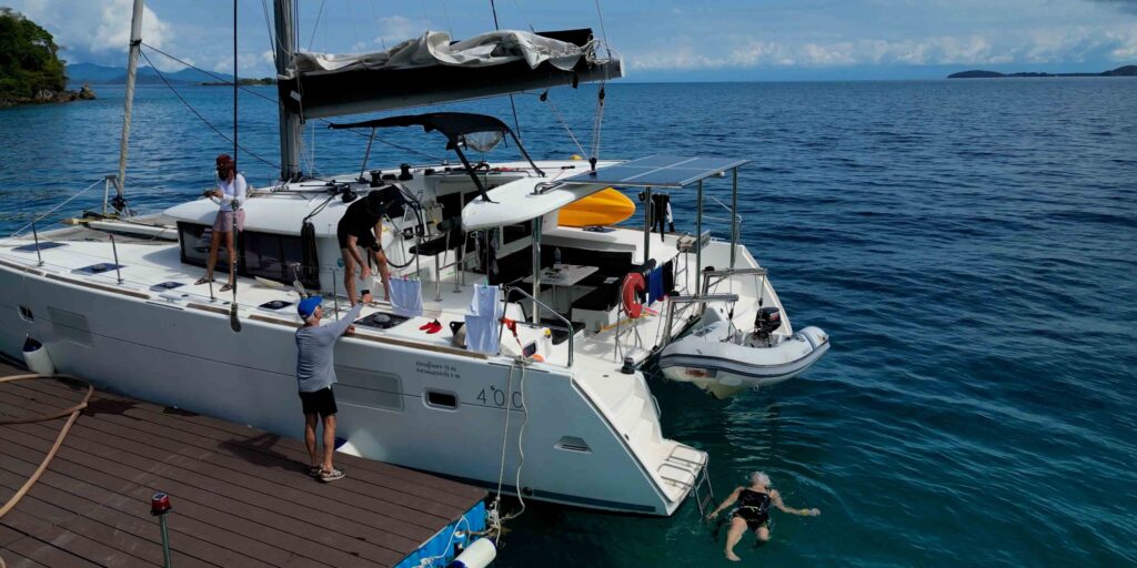
A20 · SE Mooring Buoys — The Main Snorkelling Stop
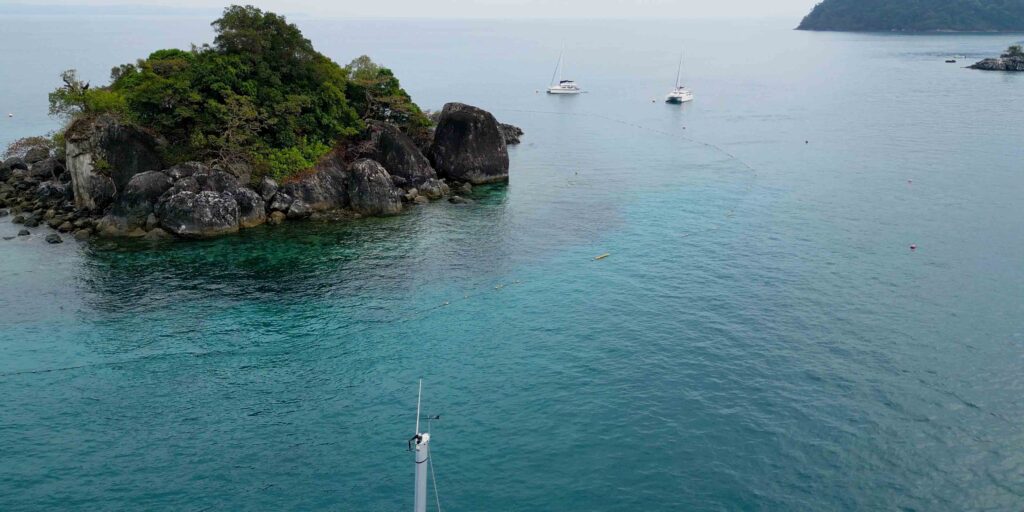
Mooring buoys · day stop · ⭐ snorkelling
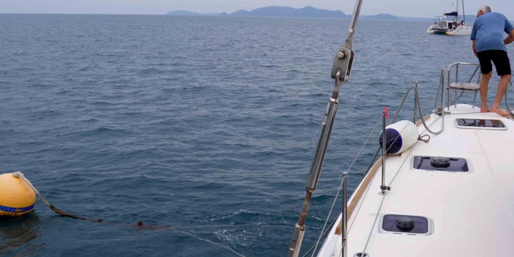
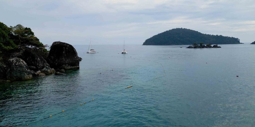
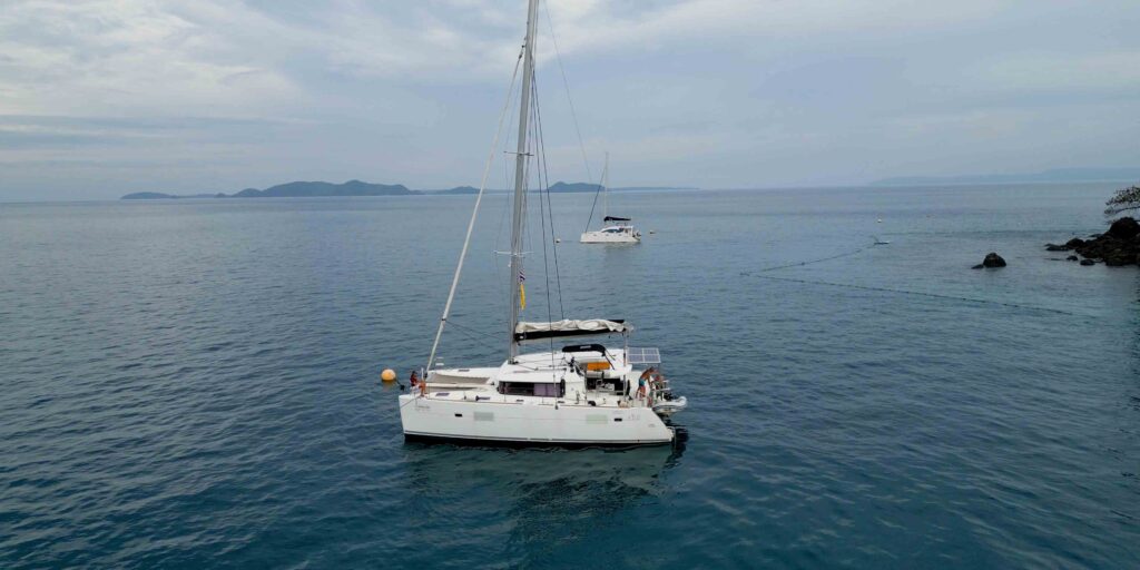
A20 — Koh Rang SE is where most yachts pick up their first mooring buoy on arrival. The buoys are placed outside the floating ropes that mark the snorkelling zone, so you tie up, the dinghy is ready, and the snorkelling is right there.
Mooring & approach:
→ Pick up a mooring buoy · do NOT anchor on the coral.
→ Buoys sit outside the floating-rope perimeter that marks the snorkelling zone.
→ Approach in clear daylight only · the corals come up shallow in places.
Snorkelling:
→ Drop the dinghy, swim from boat to the marked zone · expect coral, reef fish, and the occasional bigger pelagic that swings in from the open water.
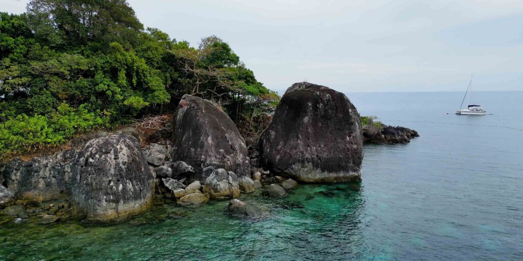
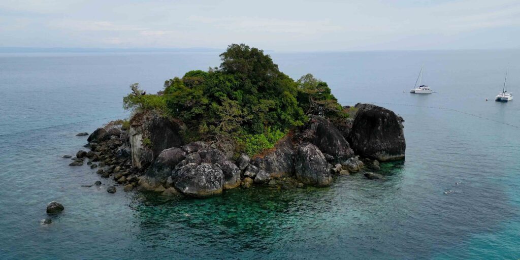
⚠ A21 · Pinnacle Rock SE — DO NOT ANCHOR
⚠ Hazard · dinghy or SUP only · big-fish snorkel
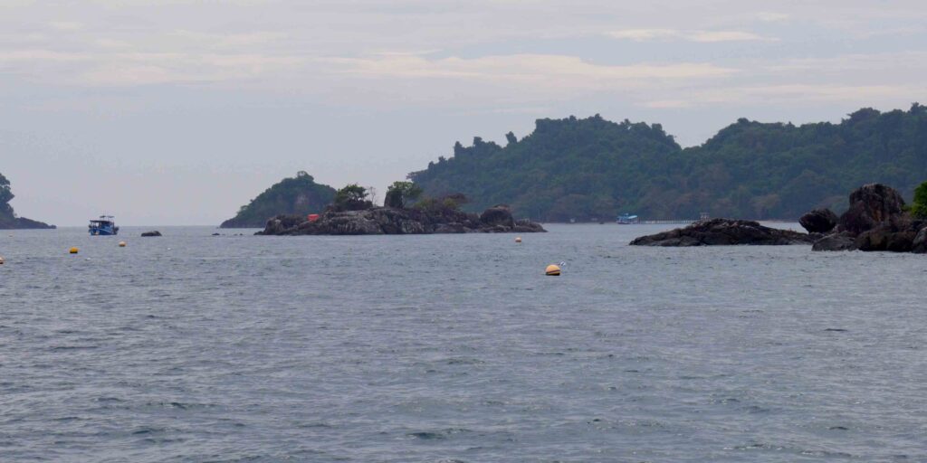
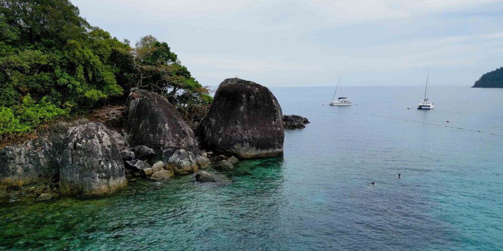
A21 is a pinnacle rock that rises from the deeper water close to A20. The rock pulls in the bigger fish — the protected status of the park means there are species here that get hunted out elsewhere — and the result is some of the best snorkelling in the cluster. It is NOT an anchorage.
How to use it:
→ Anchor at A20 first, pick up a mooring buoy.
→ Take the dinghy or SUP to A21 · approach quietly.
→ Snorkel around the pinnacle · keep the dinghy clear of the rock.
→ ⚠ NO fishing — and don’t be tempted by the big fish that hover here · they’re the reason this is a sanctuary.
A22 · NW Anchorage — Light Winds Only
5-10m sand · ⚠ NOT NE-monsoon · light winds only
A22 is the NW corner of Koh Rang · 5-10 m sand bottom · gives access to the NW snorkelling spots and to the second pinnacle (A23). Only viable in light winds.
Anchorage:
→ Anchor 5-10 m on sand.
→ ⚠ Exposed to NE monsoon · do not use Nov-Mar in fresh winds.
→ Better as a quick day stop than as overnight even when conditions allow.
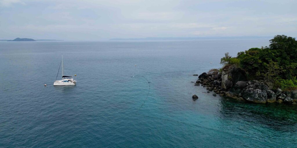
⚠ A23 · Pinnacle Rock NW — DO NOT ANCHOR
⚠ Hazard · dinghy or SUP only · big-fish snorkel
A23 is the second pinnacle rock — same structure as A21, on the NW side near A22. Same rule: NOT an anchorage.
How to use it:
→ Anchor at A22 first (light winds only).
→ Take the dinghy or SUP to A23.
→ Snorkel the pinnacle · expect big fish · respect the no-fishing rule.
→ ⚠ Don’t approach in the dinghy if there’s any swell · the pinnacle is a hard target on hard rock.
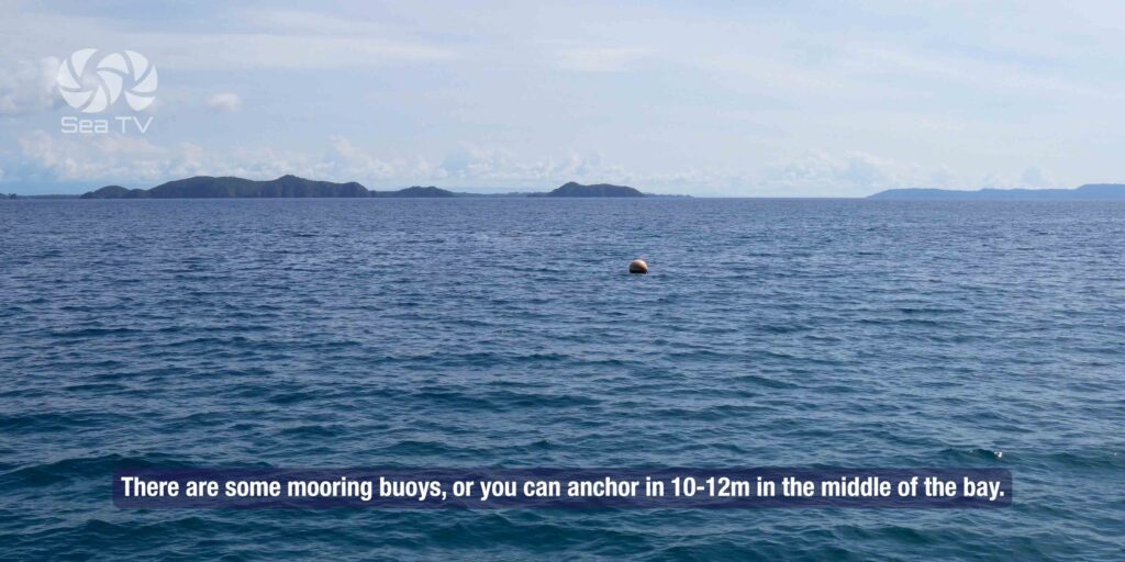
A24 · Mid Anchorage 8-12m — SW Swell Shelter
8-12m · day stop · ⚠ shallow sandbar between islands
A24 is the deeper mid-island anchorage — 8-12 m of water, used as a SW-swell shelter when conditions push other anchorages.
Anchorage:
→ Anchor 8-12 m.
→ ⚠ Watch the sandbar in the channel between Koh Rang and the smaller islands · read the chart, don’t cut corners.
→ Good day-stop pause · light overnight only and only with the right forecast.
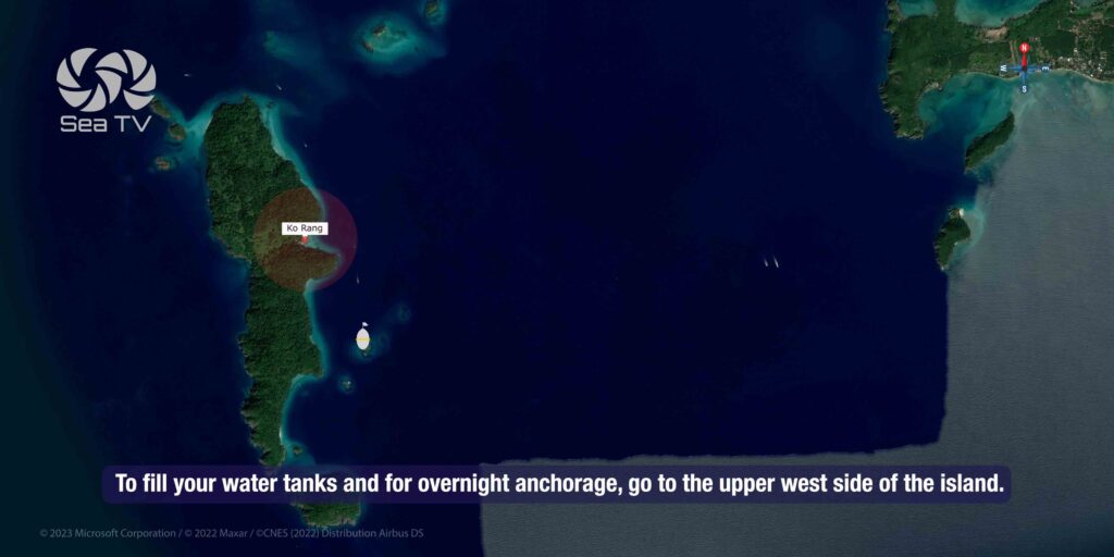
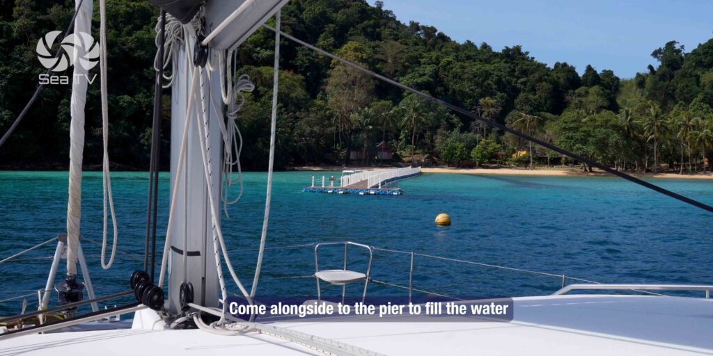
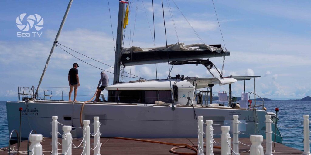
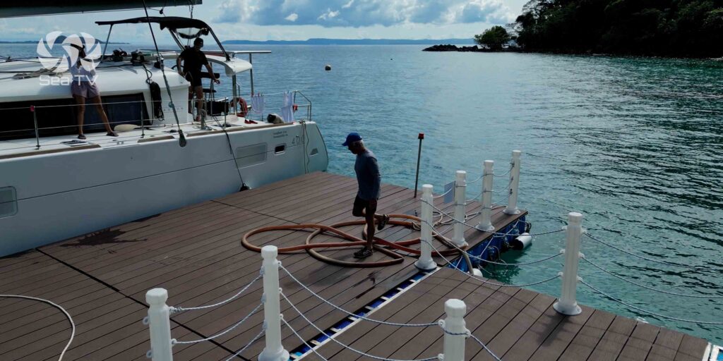
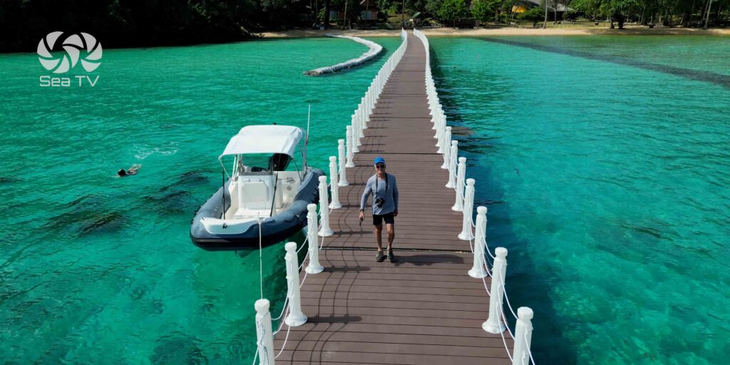
A25 · Park HQ — The Overnight Stop & Water Refill
Park HQ · ⭐ water refill · jungle trail · permits paid here
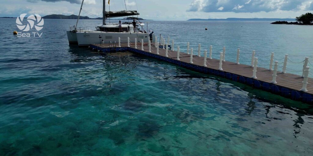
A25 — Park HQ is the only anchorage in the cluster set up for overnight stays. The Park HQ is on shore: rangers, registration, water tap, and a jungle trail through the rainforest interior of the island. This is where you pay your park fee.
Anchorage:
→ Anchor off the HQ jetty in clear sand.
→ Dinghy to the jetty · introduce yourself to the rangers · pay your fee here.
Ashore:
→ Water tap at the HQ · refill your tanks if you’ve been out a few days.
→ Jungle trail through the interior · ask the rangers which path is open and how long.
→ Wear closed shoes for the trail · the rainforest floor is not flip-flop territory.
What Makes Koh Rang Different
Protected since 1982 — Koh Rang has been part of Mu Ko Chang National Park for over four decades. No commercial fishing, no spear-fishing, no taking of marine life. The result: bigger fish, healthier coral, more pelagic visitors than anywhere else in the cluster.
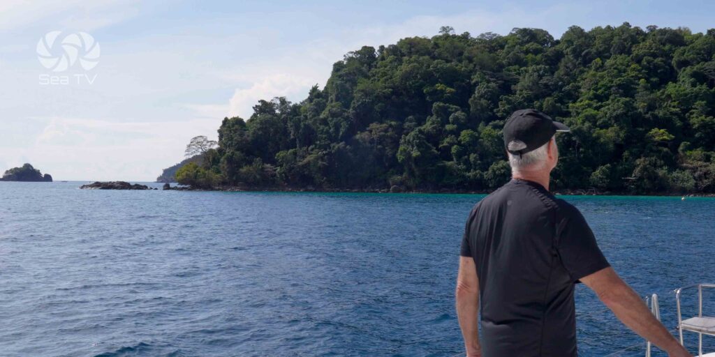
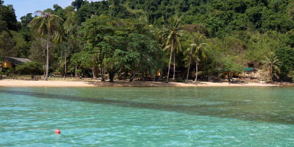
The pinnacles (A21 + A23): these are not ordinary snorkelling spots. The rocks rise from depth and pull in fish that would normally stay offshore — barracuda, jacks, the occasional grouper. Sigal’s tip: snorkel in the early morning or late afternoon, when the fish are most active and the boat traffic is minimal.
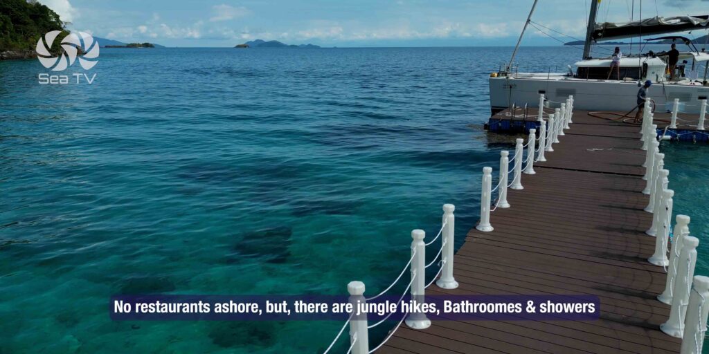
Park HQ (A25) isn’t just a registration desk — it’s a rare chance to walk the rainforest interior. The same forest that covers 85% of Koh Chang is mirrored here in miniature. Quiet, dense, alive.
⚠ The trade-off: there are no resorts here, no bars, no restaurants. Provisioning happens at Koh Mak or Koh Kut. Plan accordingly.
Emergency & Contacts
Park HQ (A25): on Koh Rang · rangers on duty during daylight
Mu Ko Chang National Park HQ: +66 39 510 928 (W coast Koh Chang office)
Island Spirit — Phil: +66 81 813 8023 (24hr WhatsApp)
Island Spirit — Kim: +66 93 131 0844 (24hr WhatsApp)
Tourist Police: 1157 or 039 557 287
Marine Emergency & SAR: 1196
VHF Distress: Ch. 16
Continue the Eastern Gulf Charter
→ 1. Charter Base · Island Spirit Yacht Charter
→ 2. Salak Phet & Koh Chang East
→ 3. Koh Chang Outer Islands & Koh Wai
→ 5. Koh Kut · Captain Hook’s & the 9 Anchorages
→ 6. Koh Rang Marine Park (this page)
→ 7. Koh Chang West Coast · Bang Bao & Whitesands
“Koh Rang is the conscience of the Eastern Gulf · forty years of protection and you can see it in the water · the fish are bigger here, the corals are healthier, the silence is deeper · A20 you pick up a mooring buoy because you do not anchor on coral and that is the rule and that is also why there is still coral · A21 the pinnacle southeast where the big fish hover and you take the dinghy because the rock is not an anchorage · A22 the northwest only in light winds because the monsoon turns it into a washing machine · A23 the second pinnacle same rules same rewards · A24 the eight to twelve meter mid anchorage with the sandbar in the channel that you read carefully · A25 the Park HQ on shore with the water tap and the jungle trail and the rangers who collect your fee and tell you which path is open · two hundred baht per person plus one hundred per hull and you get five days · no fishing · the reason there is something to see is that nobody is taking it · half day minimum full day better · plan to be back in NE protection by sixteen hundred · and bring closed shoes for the rainforest because the floor is not flip flop territory.”
— SeaTV · Eastern Gulf Edition · Koh Rang Marine Park