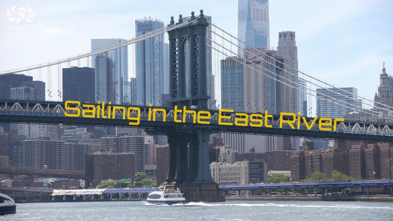
Sailing Adventure into New York Harbor
About Our Sailing Adventure
This video captures our exhilarating sailing journey into New York Harbor from the ocean. Navigating the powerful currents and enjoying breathtaking views of iconic landmarks like the Statue of Liberty and Ellis Island made this adventure unforgettable.
Navigating the Currents and Tides
Understanding the tides and currents is crucial for a successful entry into NY Harbor. The reference point is The Narrows, located mid-channel under the Verrazano-Narrows Bridge (40°36.56’N 72°02.77’W).
Flood Tide
Ideally, time your entry under the Verrazano Bridge with the start of the flood tide (south to north). The flood tide typically runs for about 6 hours with velocities between 1.4 and 2.3 knots, depending on the moon cycle. The maximum flood occurs 2 hours and 25 minutes after it starts.
Ebb Tide
If you miss the flood window, you’ll encounter the ebb tide (north to south), with velocities ranging from 1.7 to 2.5 knots. The maximum ebb is 3 hours and 15 minutes after it begins. During ebb, steer your boat westward, where the current is relatively weaker, as the most vital currents are in the middle of the channel.
Sailing by Liberty and Ellis Islands
As you sail by Liberty and Ellis Islands, consider security zones. White floating marks designate these zones around both islands. Avoid passing between these marks and the islands, as doing so may result in a quick visit from a police boat.
Liberty Island
Avoid navigating west of Liberty Island (behind the statue), as this area is restricted and contains unexpected shallows.
Ellis Island
Similarly, avoid the area west of Ellis Island, where a bridge connects the island to Liberty State Park, with limited clearance.
Navigation Tips
The area south of Liberty Island is rocky, and at low tide, depths can be extremely shallow (between 30cm – 2.5m/1-7.5 feet). If you wish to navigate west of the Statue of Liberty, enter a well-marked channel with red and green buoys. Remember, “Red Right Return” — keep red buoys to your starboard and green buoys to your port.
Anchoring in NY Harbor
Following the channel south of Liberty Island, you’ll find a well-protected cove near Liberty State Park where you can anchor overnight. The northern part of this anchorage is deeper (3-4.5m/9-14 feet) than the southern part, which has rocks awash at 1.25m/4.9 feet. Always check your depth before anchoring to ensure a safe and secure stay.
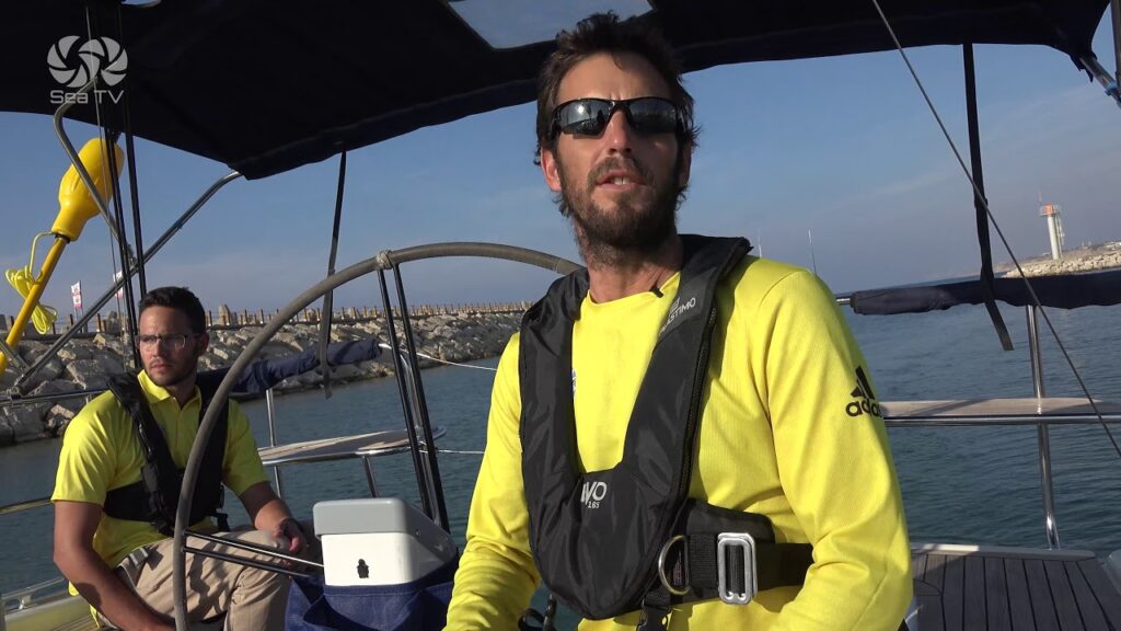
About Captain Nitzan Levy and Sailors NYC
Captain Nitzan Levy is the Founder and CEO of Sailors NYC, a sailing club and school specializing in cruising in the New York Metro Area. Sailors NYC members primarily sail in the Upper Bay of New York Harbor, out of Liberty Harbor Marina in Jersey City, and north of the Verrazano Bridge. They also embark on longer cruises to Long Island Sound, Long Island’s South Shore, the Hudson River, and down the Jersey Shore.


Leave a Reply