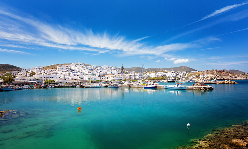
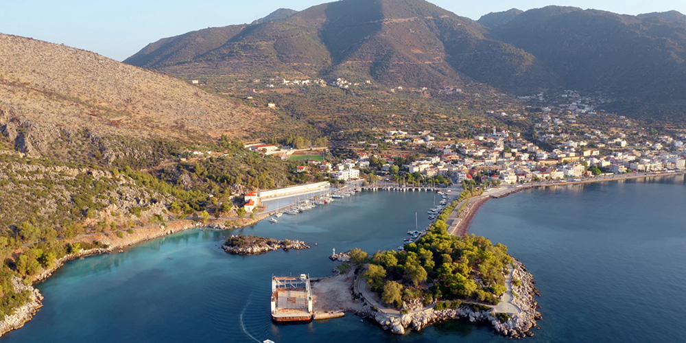
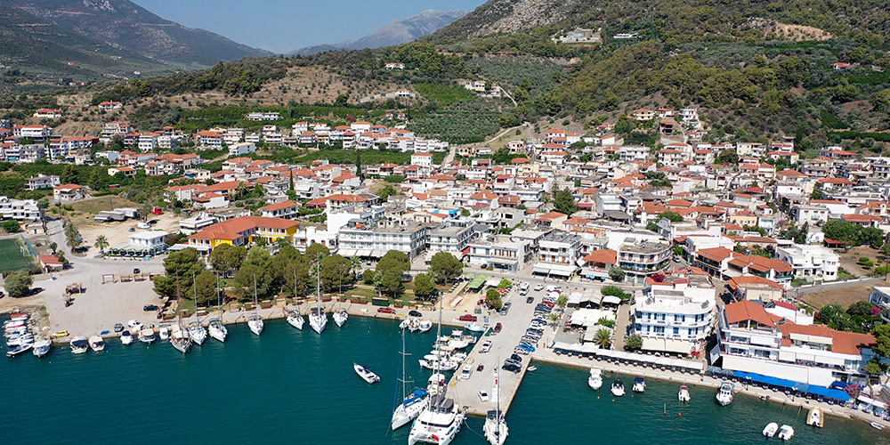
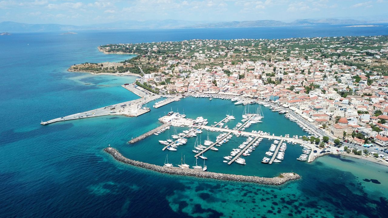
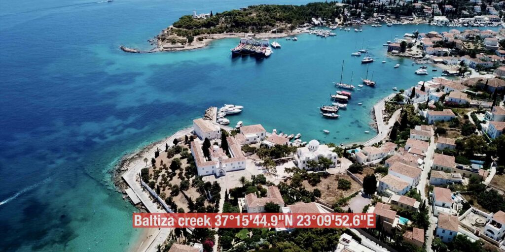
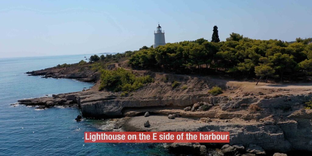
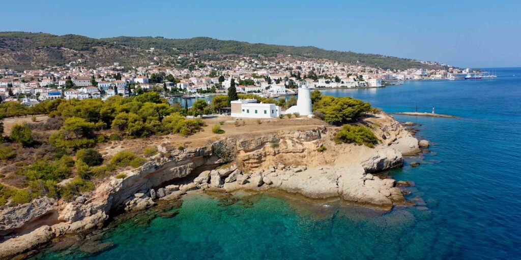
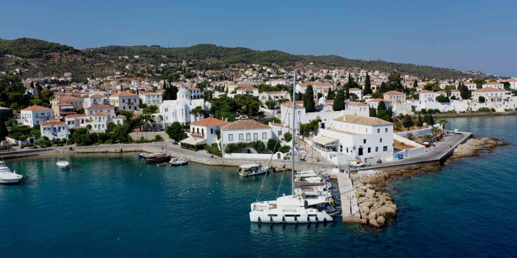
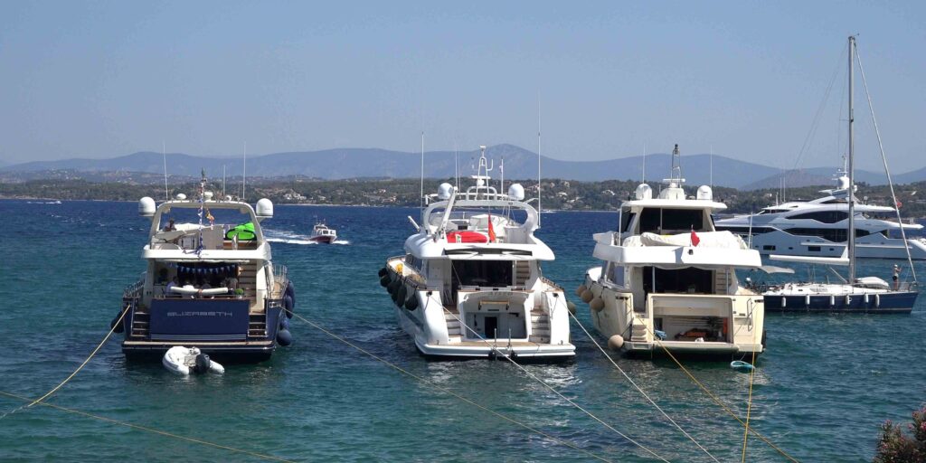
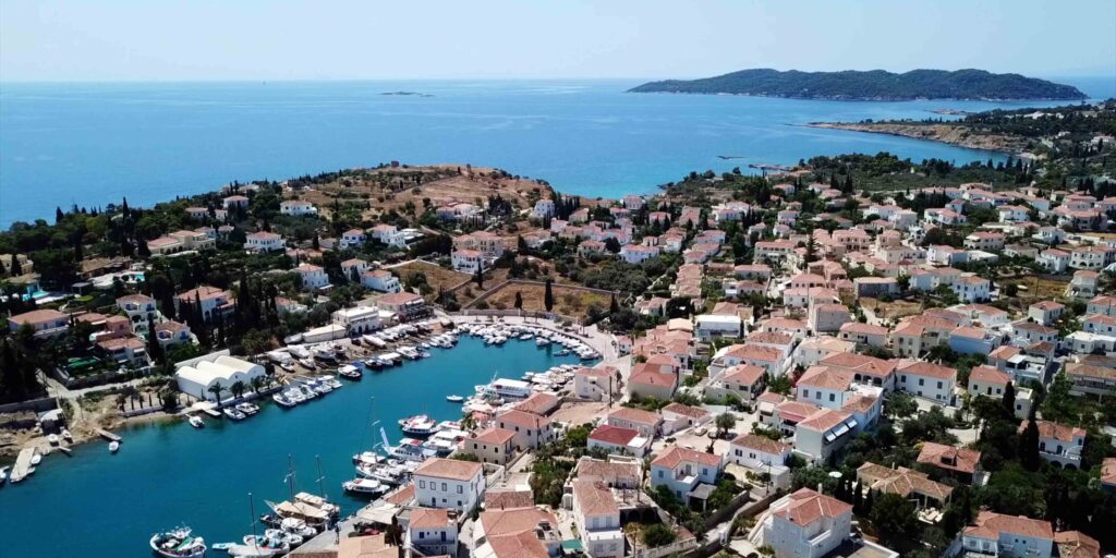
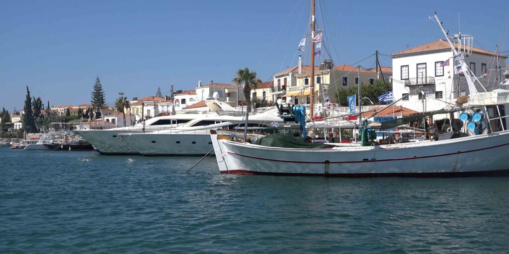
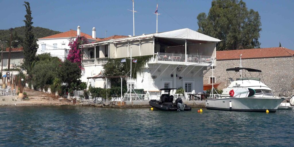
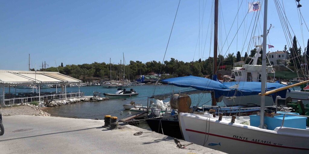
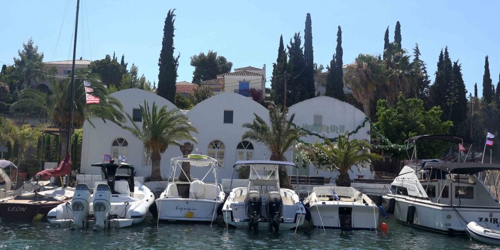
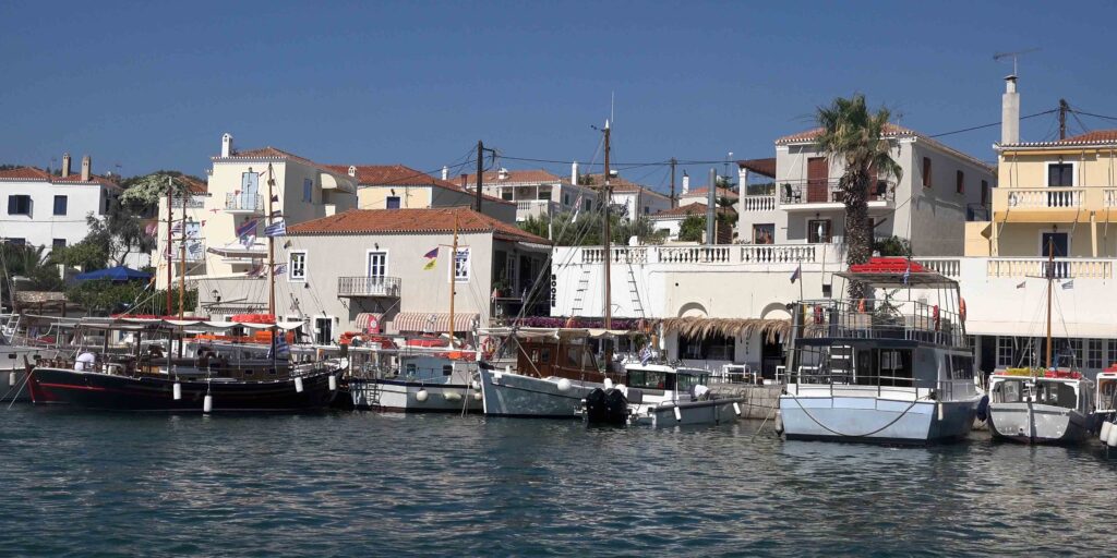
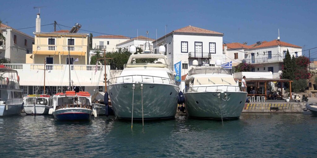
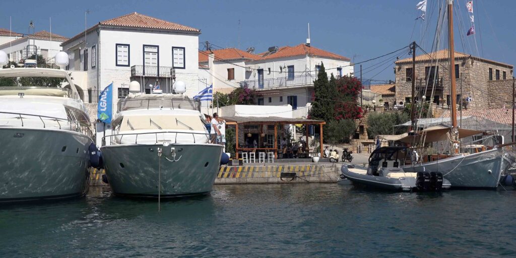
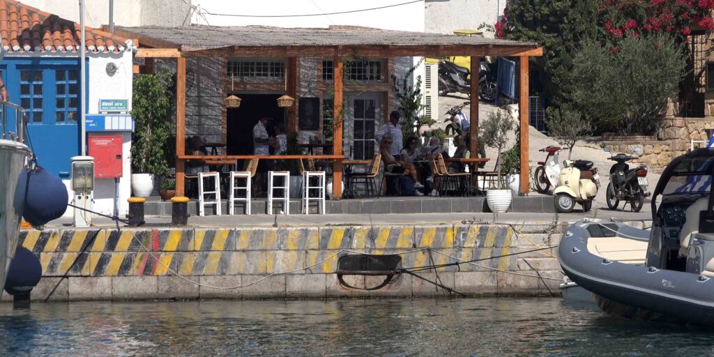
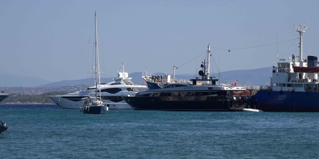
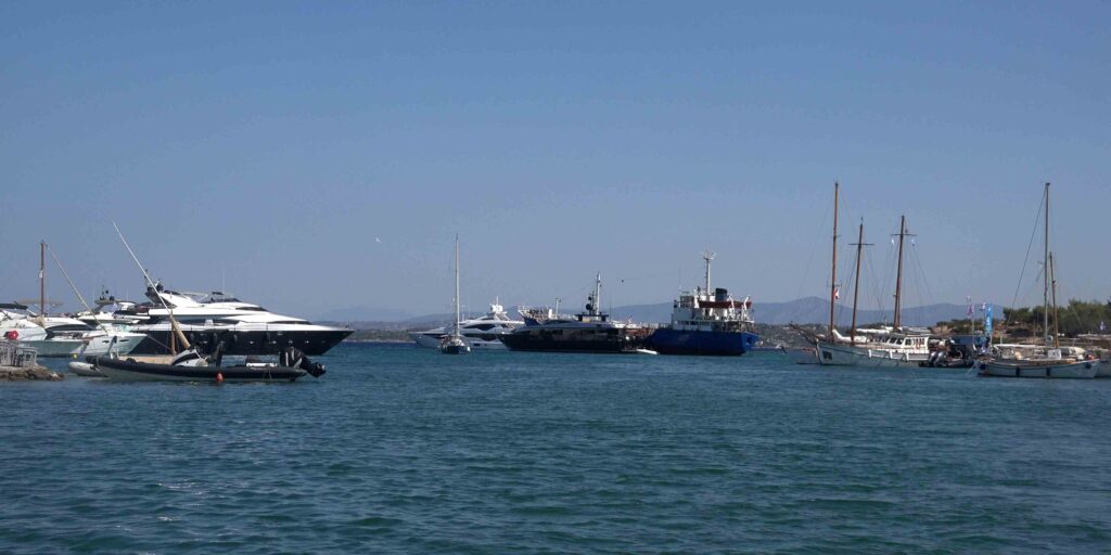
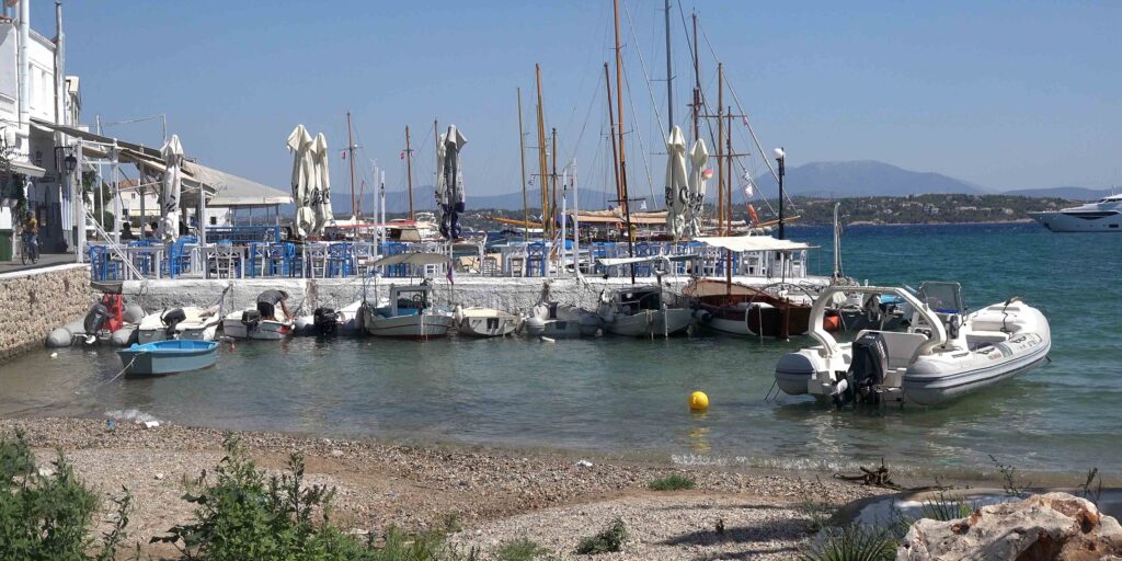
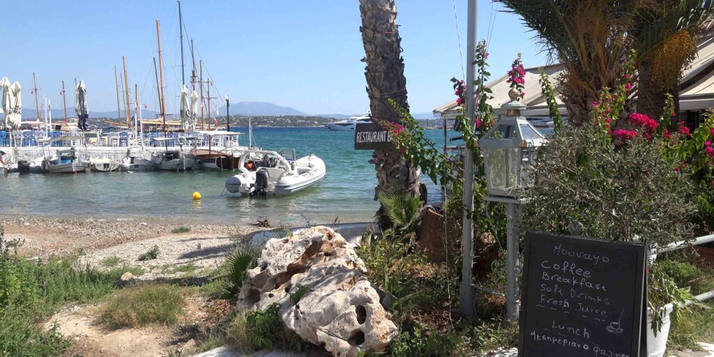
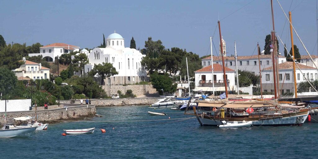
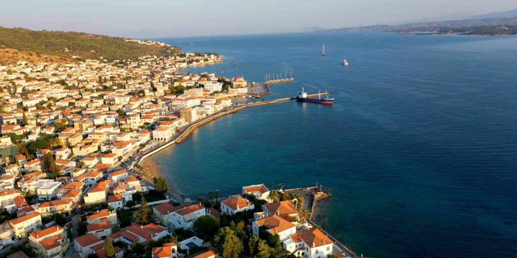
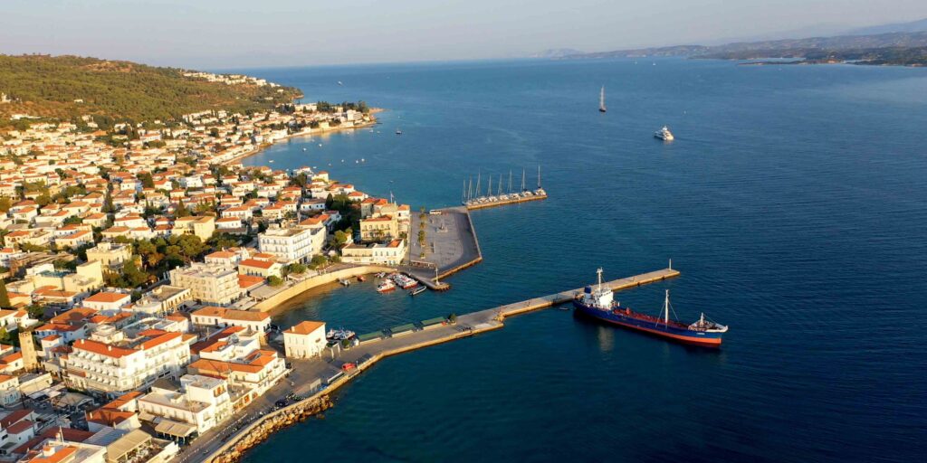
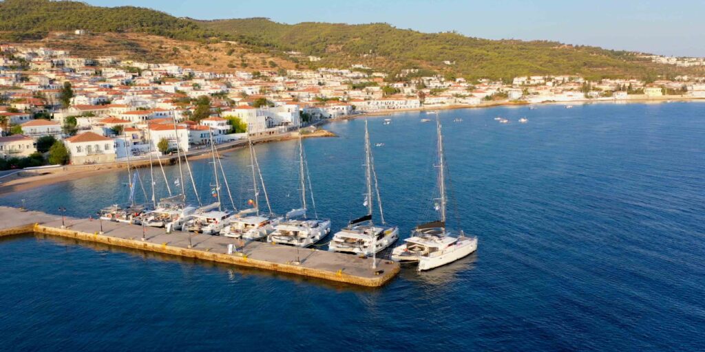
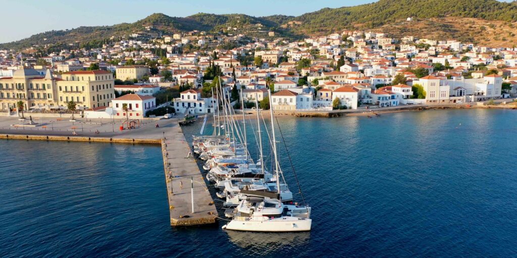
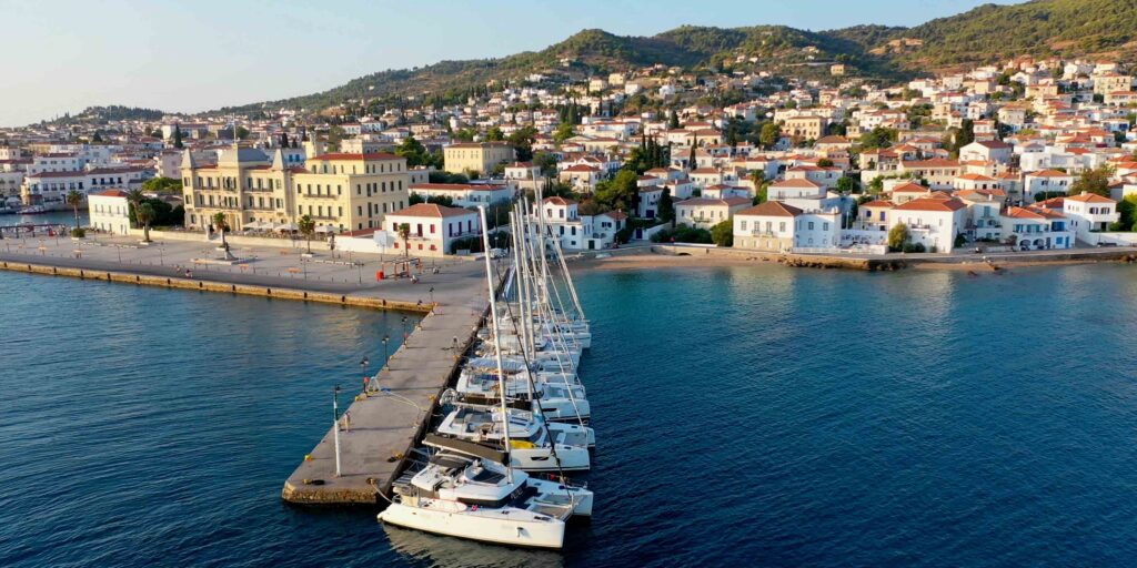
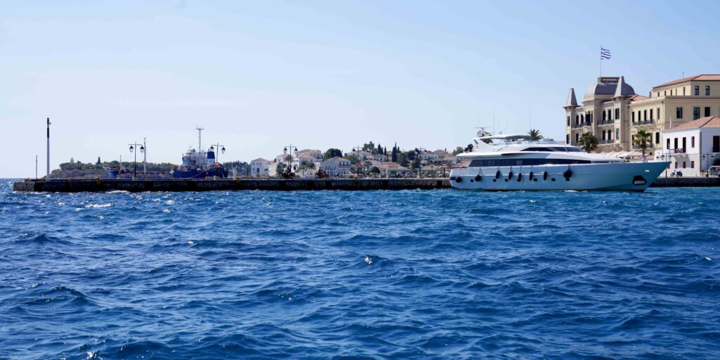
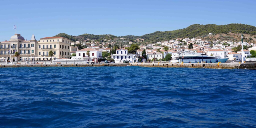
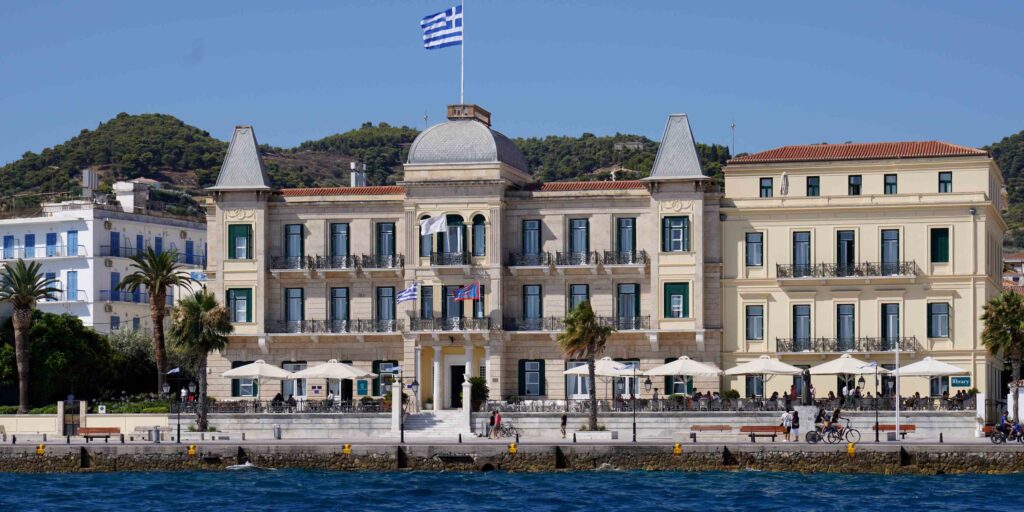
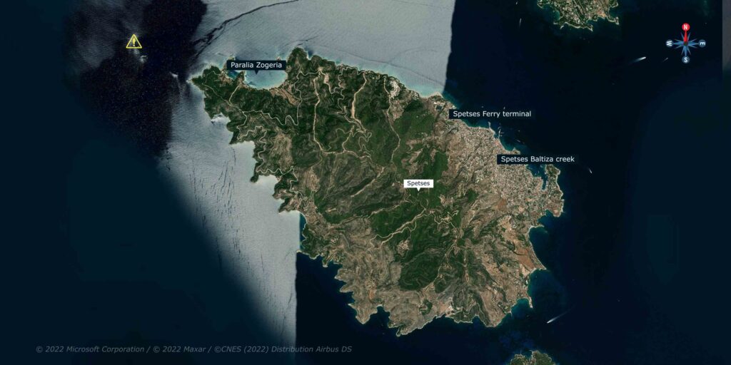
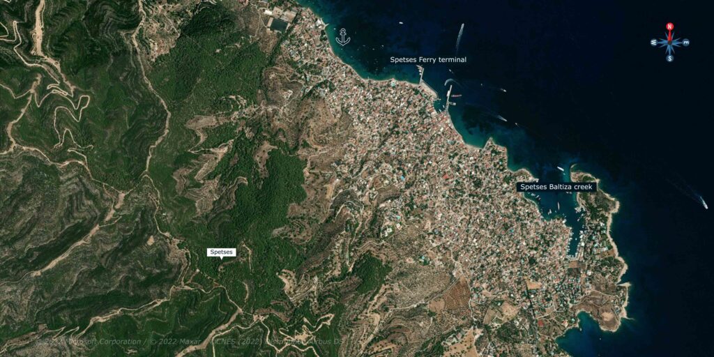
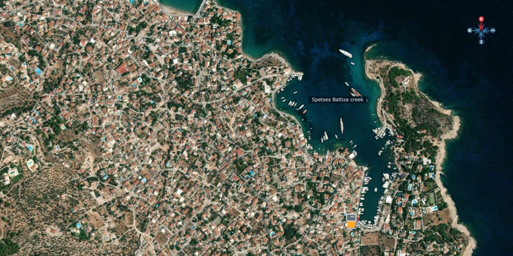
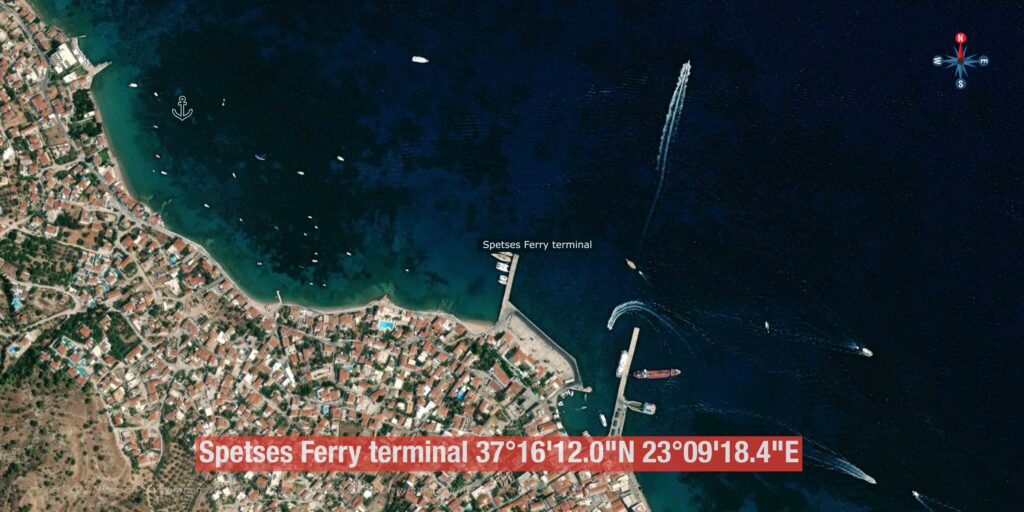
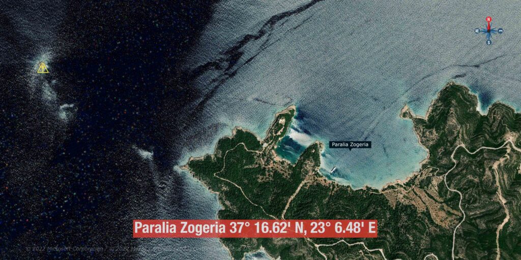
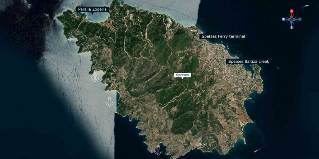
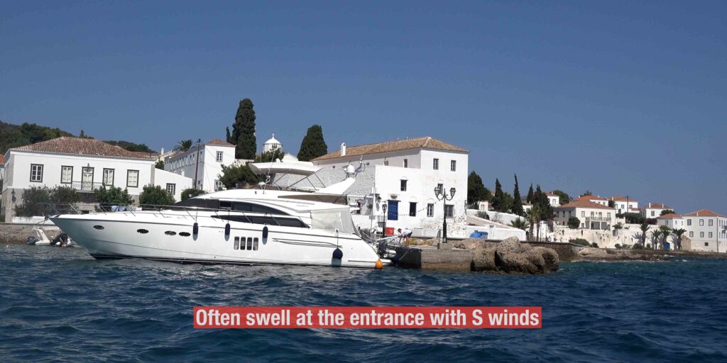
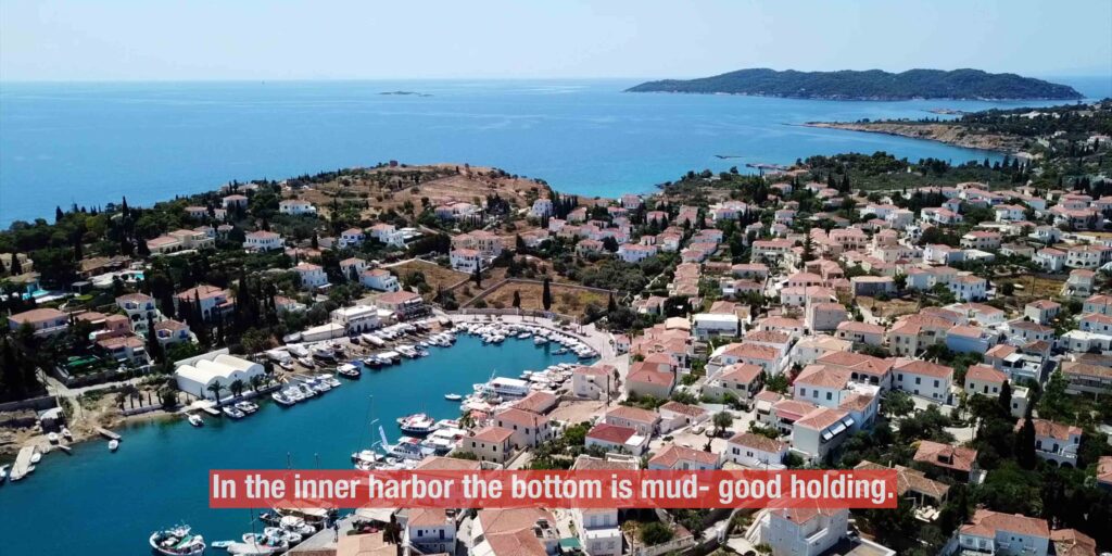
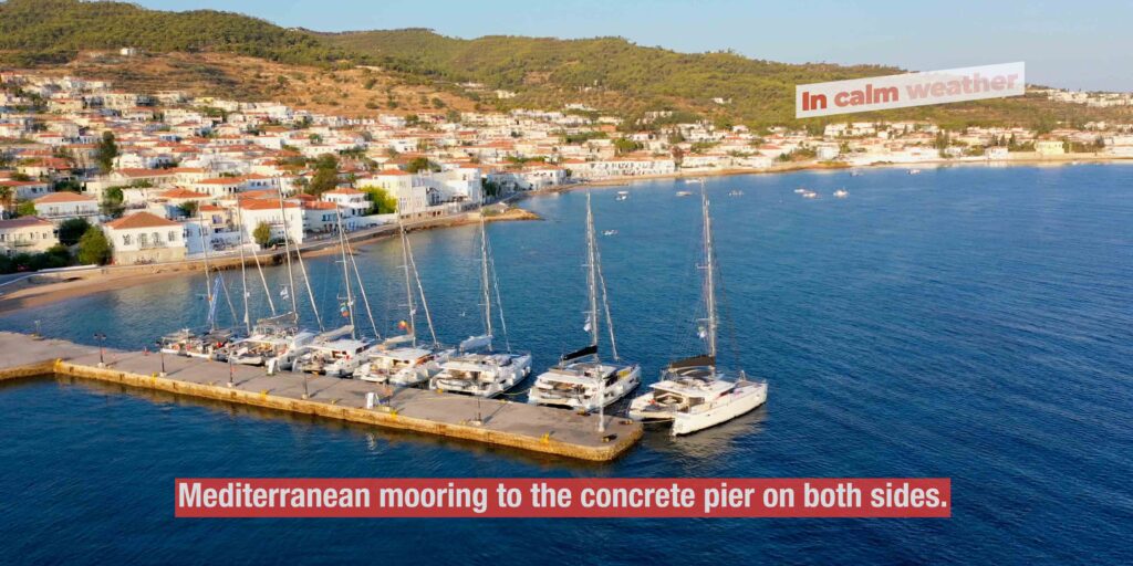
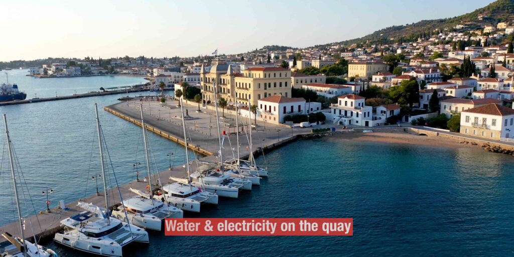
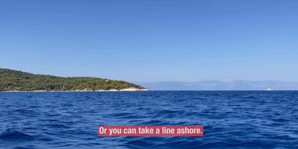
Saronic Gulf & Eastern Peloponnese - Sea TV

Spetses Island

SeaTV produce visual pilot videos on the mooring and facilities around.

Sailing Area: Spetses Island

Sailing to Spetses Island: Your Guide to Anchorages and Moorings

Spetses Island is located between the Saronic Gulf and the Argolic Gulf. The Argolic Bay is an elongated bay in a northwesterly-southeast direction, surrounded by high mountains. Winds in the bay usually blow parallel to the shore at 10-20 knots.

Spetses Baltiza Creek: 37°15’44.9″N 23°09’52.6″E

The town is unique and quiet, and any tour on the beach is an uplifting experience. The old bay of Baltiza is crowded and full throughout the season with private yachts.

Approach

A lighthouse marks the east side of the harbour. Care is needed due to above-water rocks and a short reef. There is often a swell at the entrance with south winds.

Mooring

If there is space, you can anchor on the south of the creek or anchor with a long line ashore on the southwest. Go stern in the harbour if there is room, or anchor in the bay with a long line ashore. In the inner harbour, the bottom is mud, which provides good holding.

Facilities

  • Water and electricity on quays 03-04
  • Fuel by tanker
  • Most restaurants are right on the waterfront.

Spetses Ferry Terminal: 37°16’12.0″N 23°09’18.4″E

Less than one mile west of the old port, there is a pier for ferries and a smaller pier for yachts next to it. Beware of the reef located between the moorings 200 meters from shore. Mediterranean mooring is available on both sides of the concrete pier.

Facilities

  • Water and electricity on the quay

Paralia Zogeria: 37° 16.62′ N, 23° 6.48′ E

This lovely open bay lies at the northwest of the island. In calm weather, you can anchor in 5-8m on sand, with some rocks present, or take a line ashore. Enjoy the silence; this anchorage is perfect for chilling in nature.

Anargiri Bay: 37°15’09.8″N 23°06’47.8″E

An amazing and clear bay, open to the southwest. You can anchor Mediterranean style on the rocks north for the night or free mooring for lunch. Between 5-10 meters depth, it is possible to get very close to the rocks in the north. The bottom is sandy soil with scattered weeds. An amazing and deep cave in the northern part of the bay is worth a visit. Legend has it that those who drink from the water in the cave fall in love for life with the one who drinks with them.

Facilities

  • A good tavern with a limited menu on the beach

Do not miss this bay if you are in the area.

Videos

No videos available at this time
Sailors tips

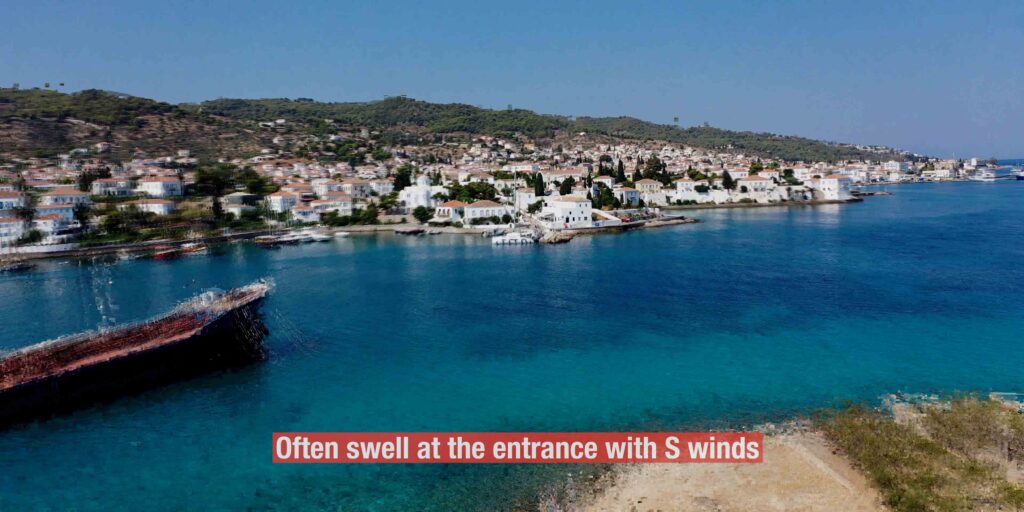
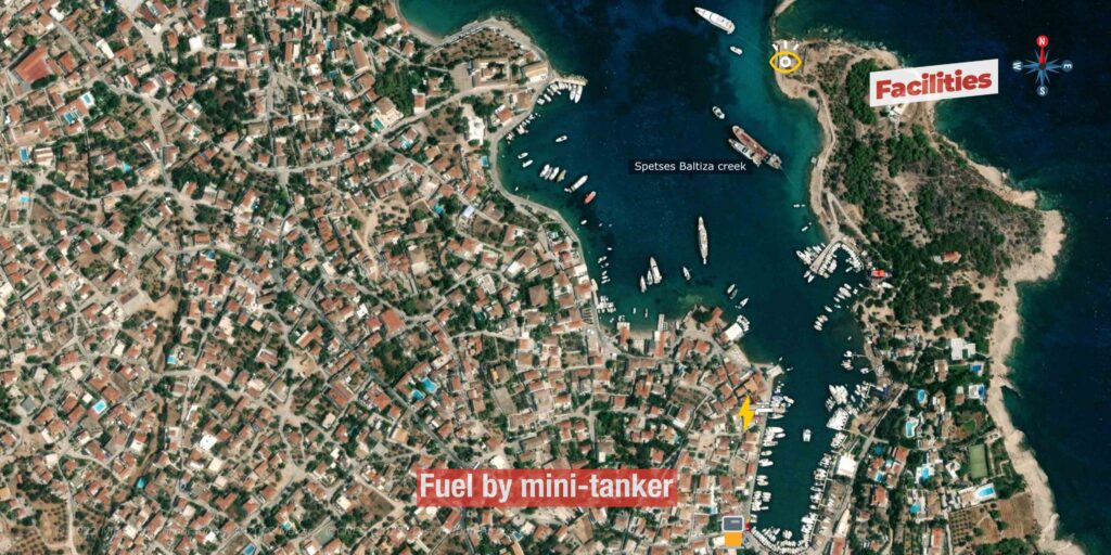
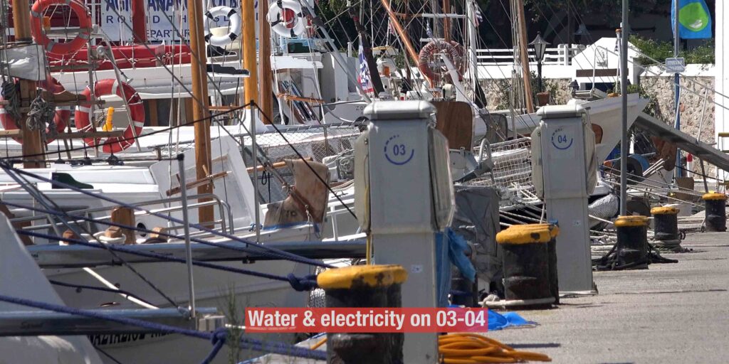
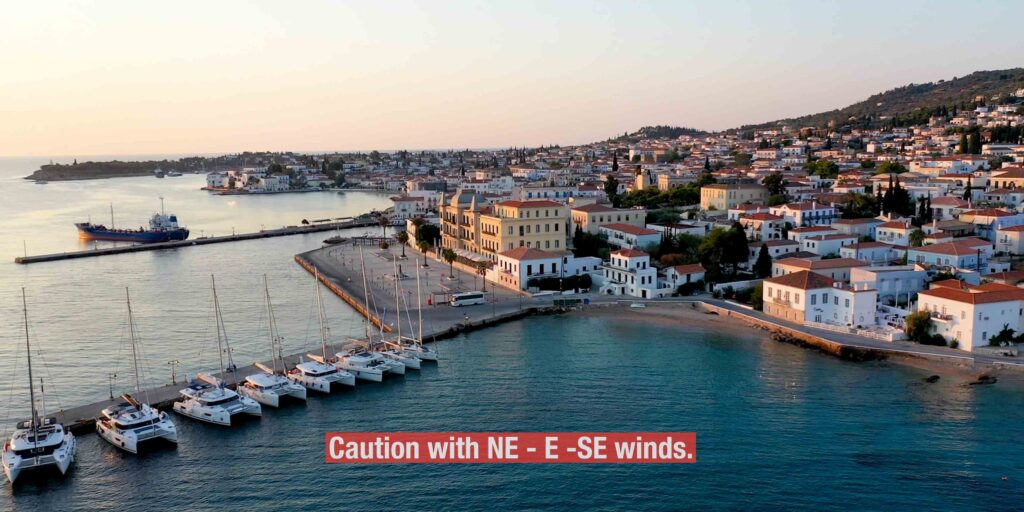
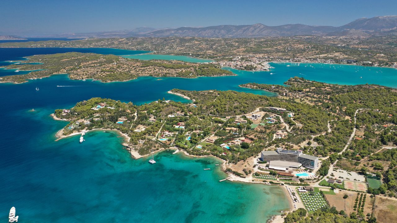
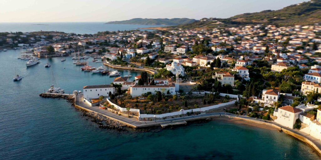
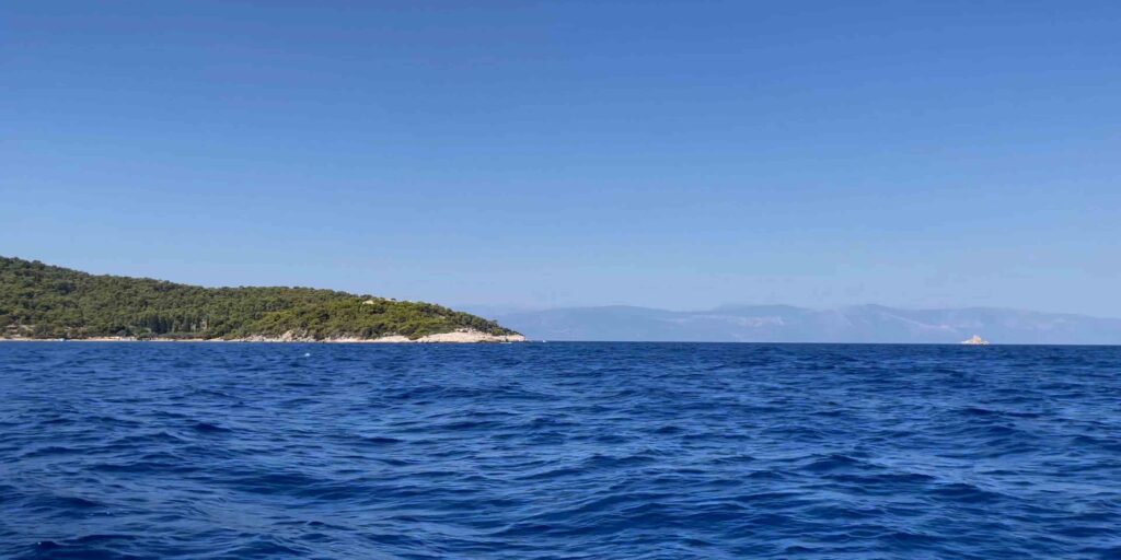
Beautiful view with surprises along the way

Viewpoint towards the northeast, on the way you can be impressed by special sculptures
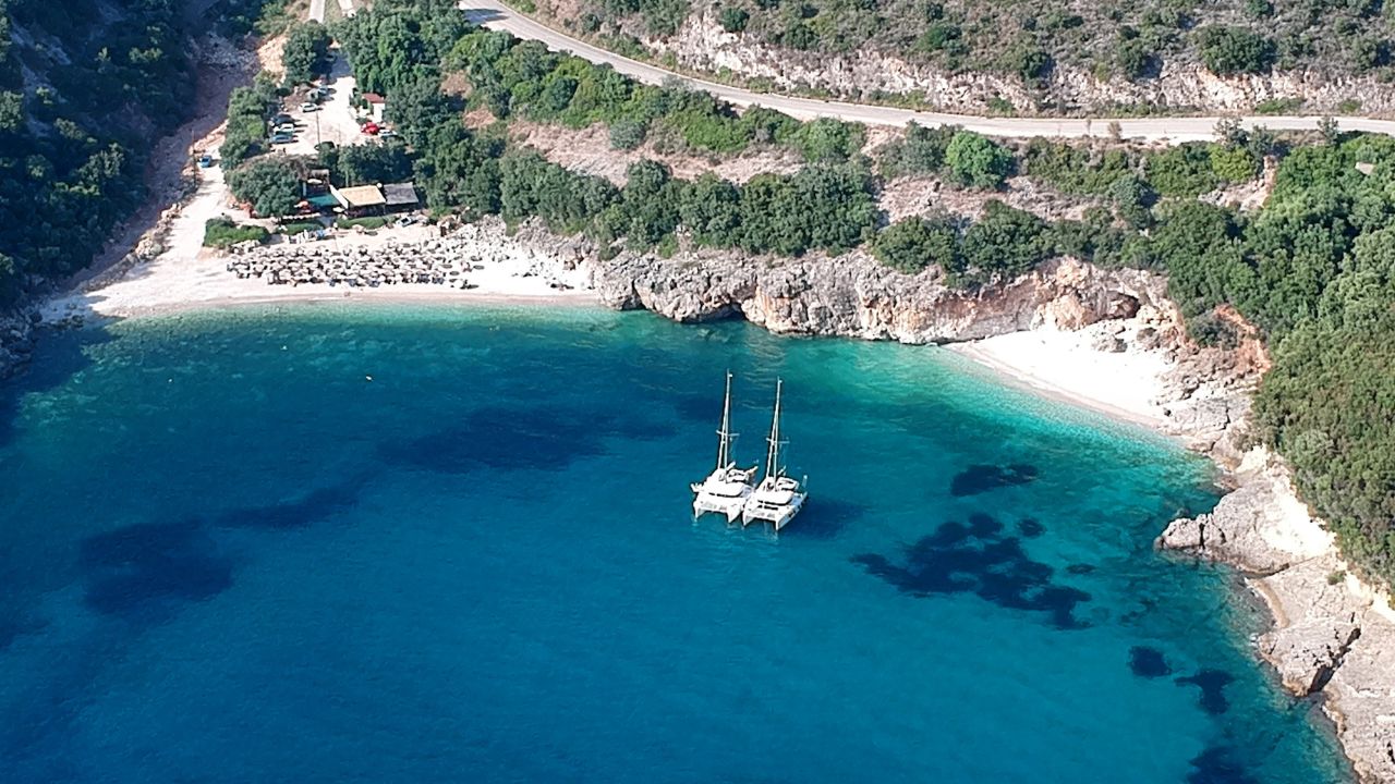
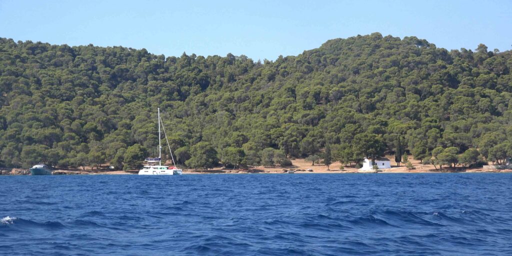
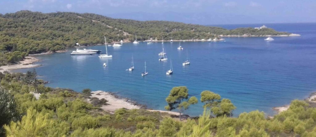
Anargiri bay

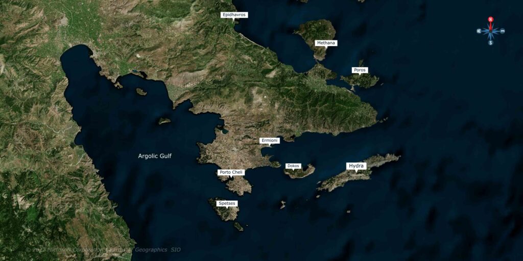
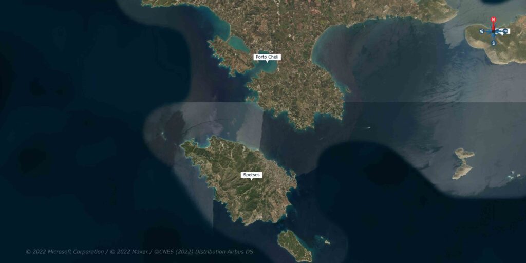
Do not miss if you are in the area:

https://goo.gl/maps/pmExzuDejz4WiUDdA

Map

Windy

Instagram Reels

{{title}}
Learn more
{{types}}

{{title}}

{{address}}

{{#rating}} rating: {{rating}} {{/rating}} {{#prices}} prices level: {{prices}} {{/prices}}

{{#open}}

Open Now

{{/open}}