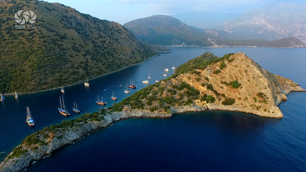
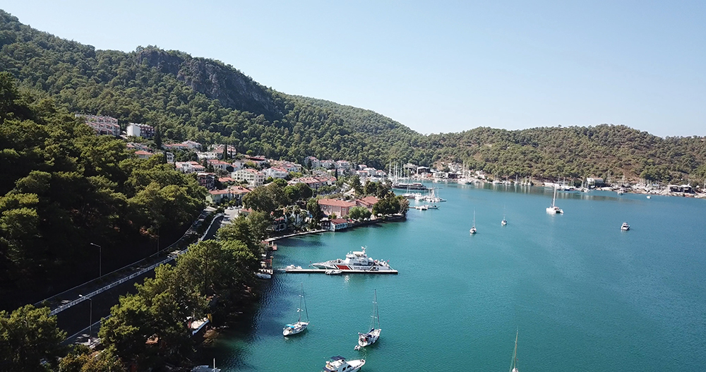
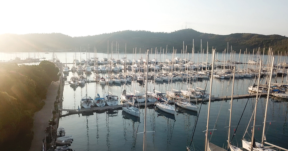
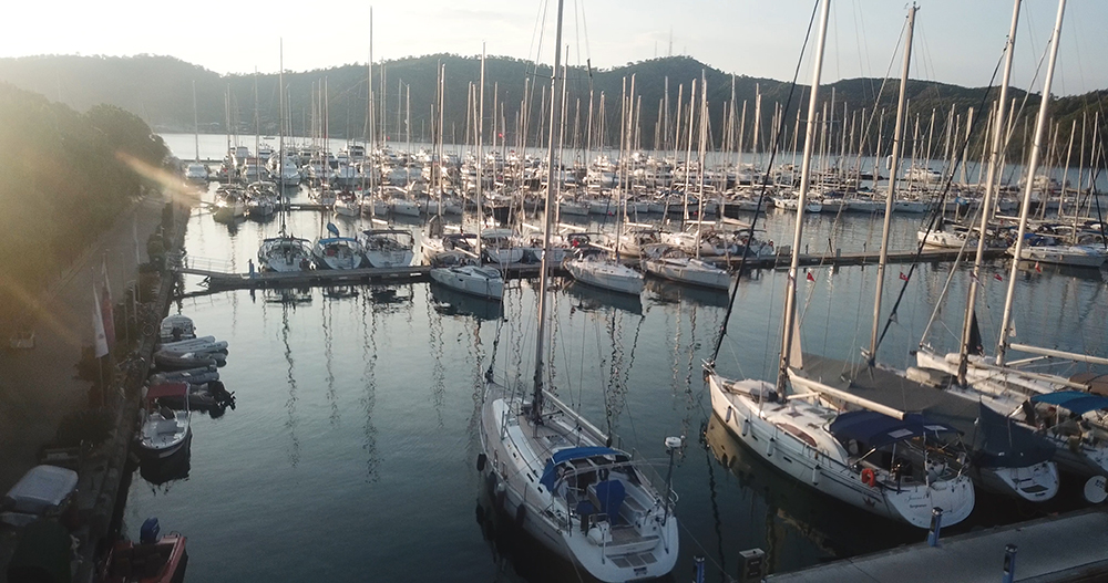
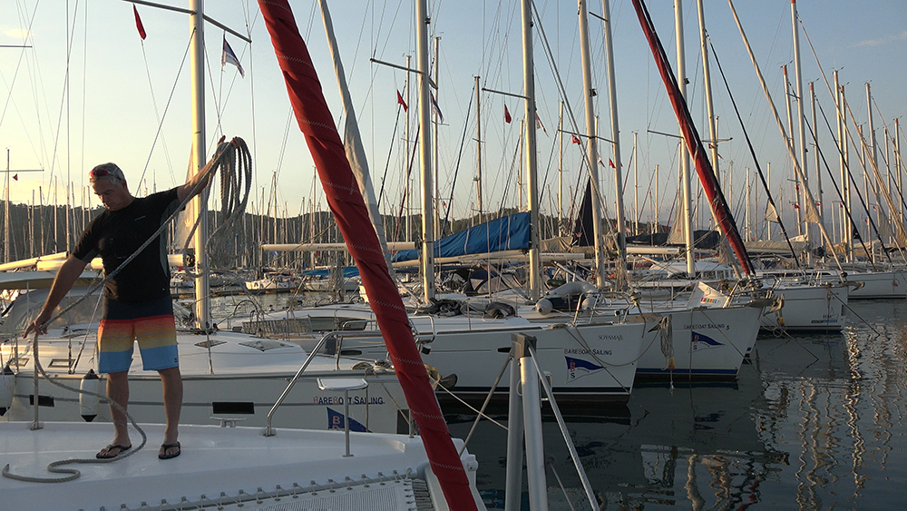
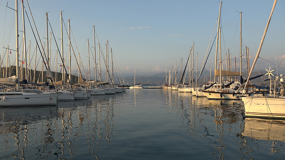
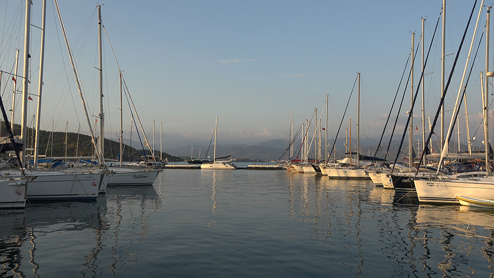
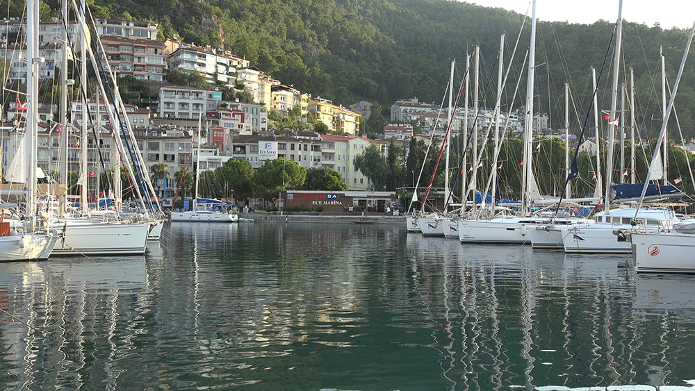
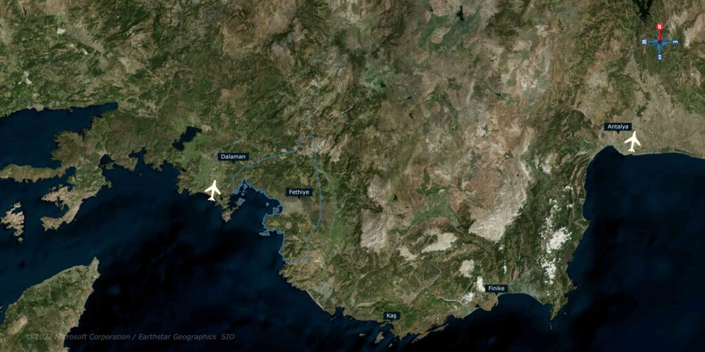
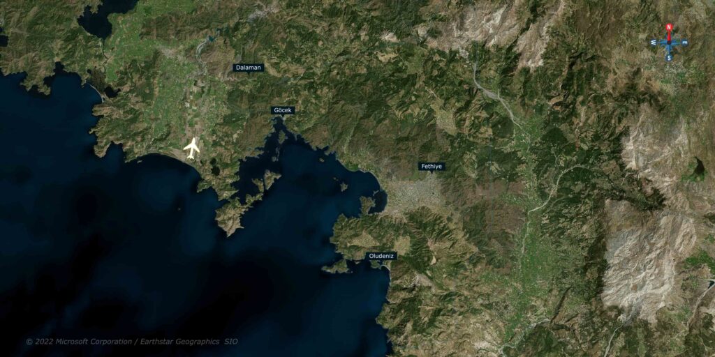
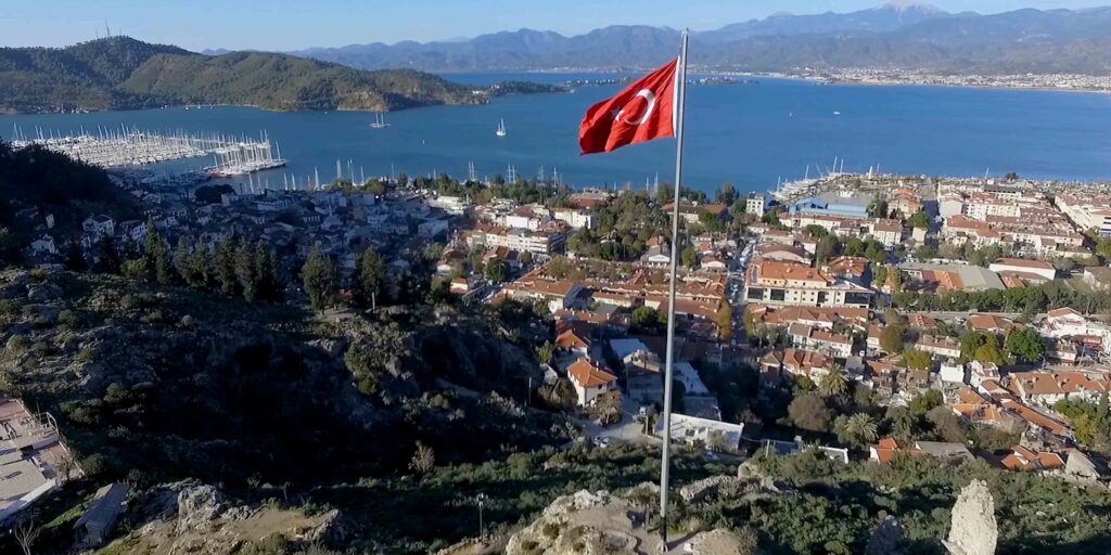
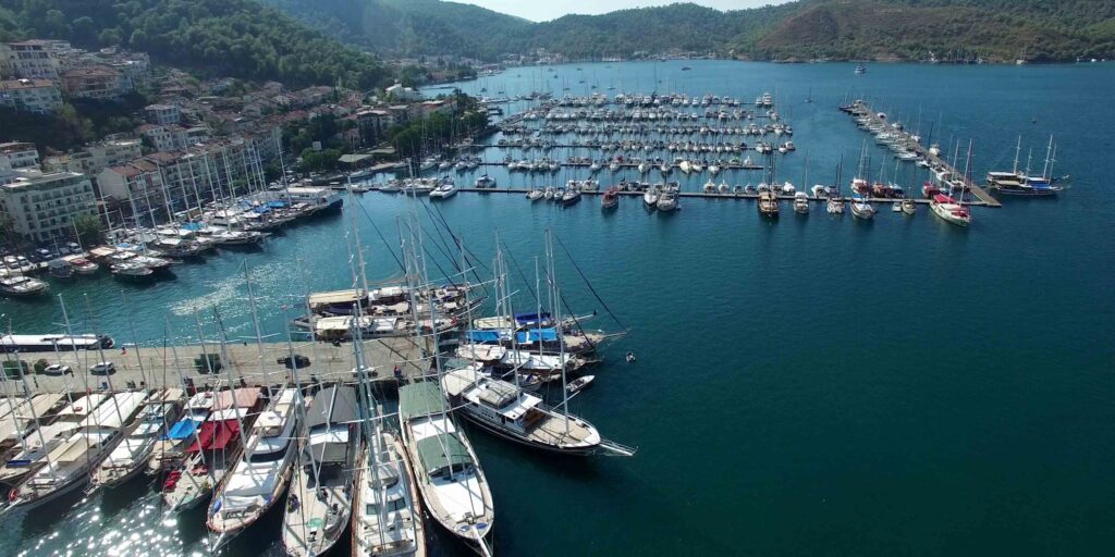
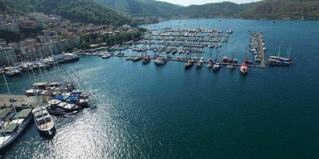
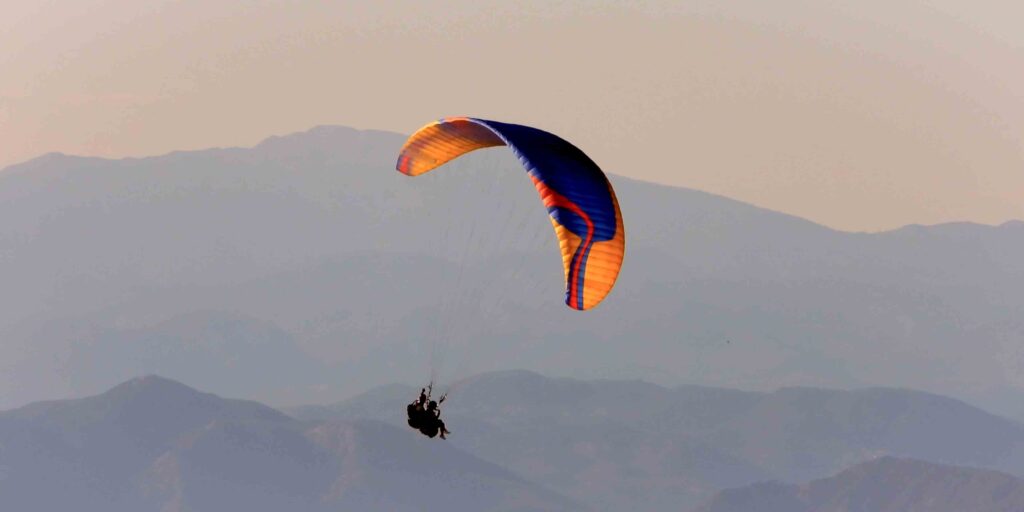
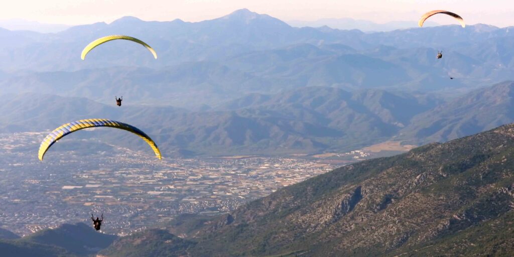
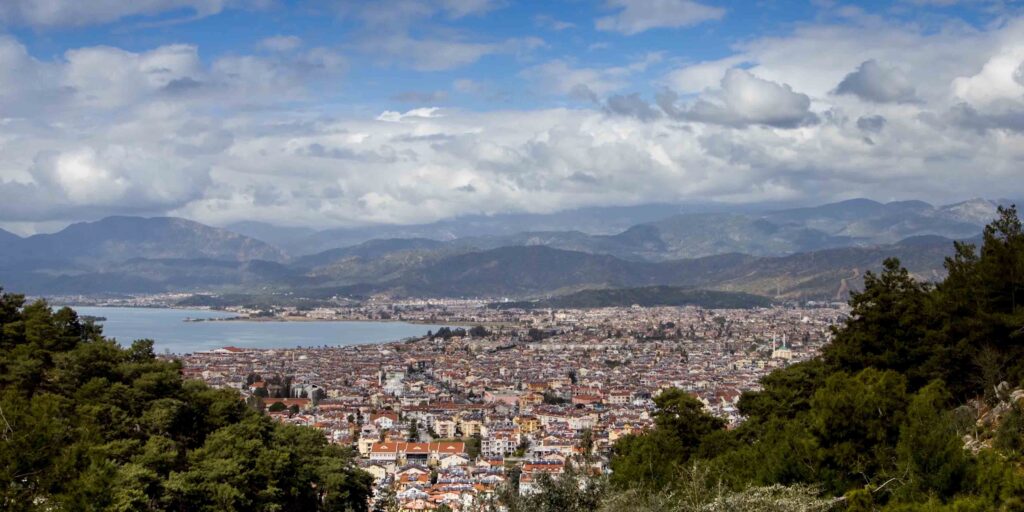
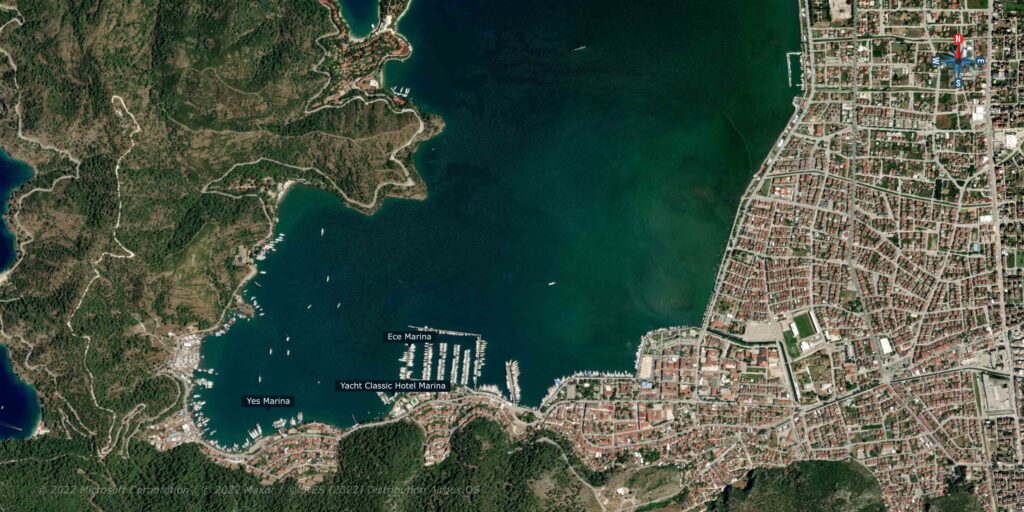
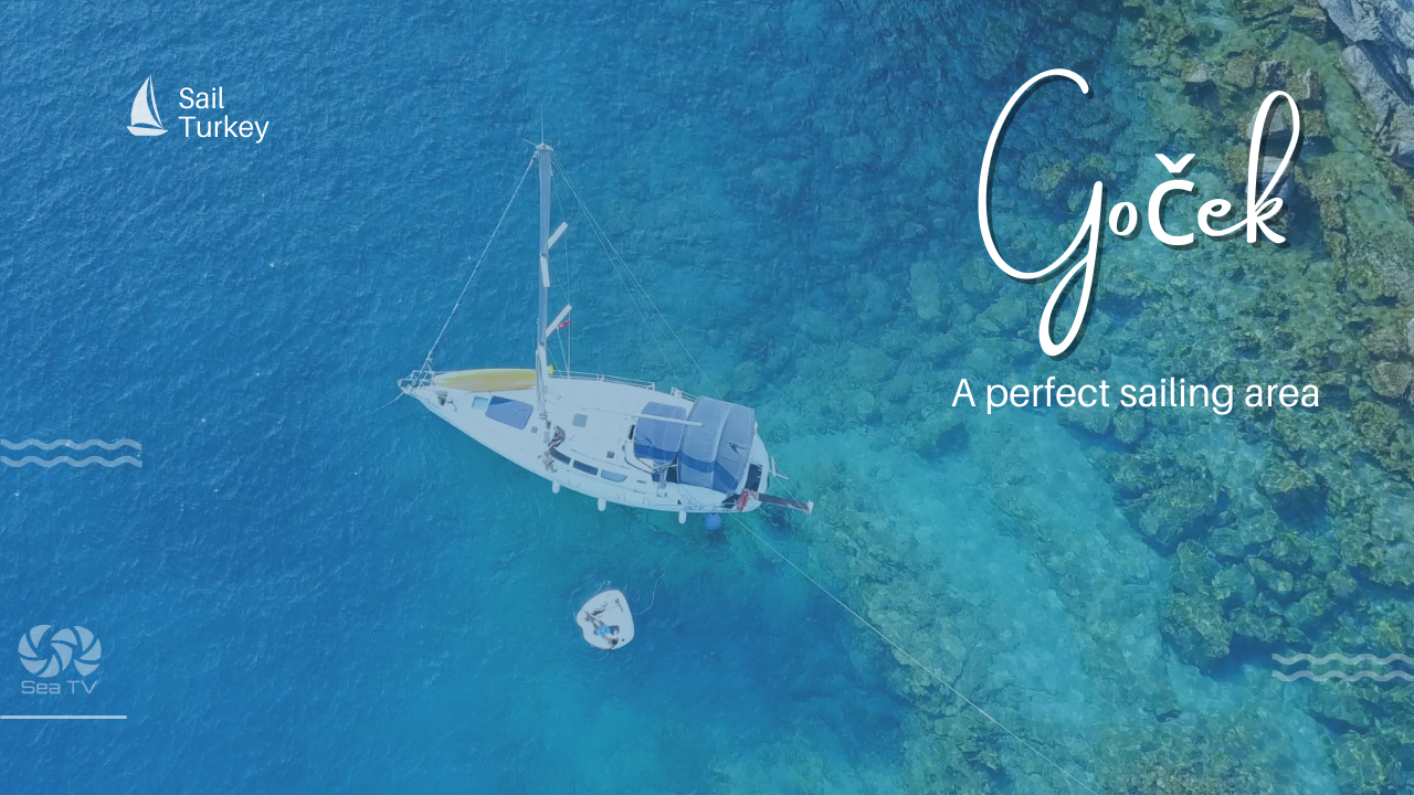
Goček lies on the marvellous shores of Turkey, nestled among countless islands, bays, and archaeological sites. A perfect sailing area for both beginner and experienced sailors; A protected area, characterized by pleasant and stable weather, also on transition seasons, and long a wonderful sailing holiday that combines nature with civilization, lots of water recreation alongside land attractions; Lively towns, magnificent marinas. and quiet moorings.
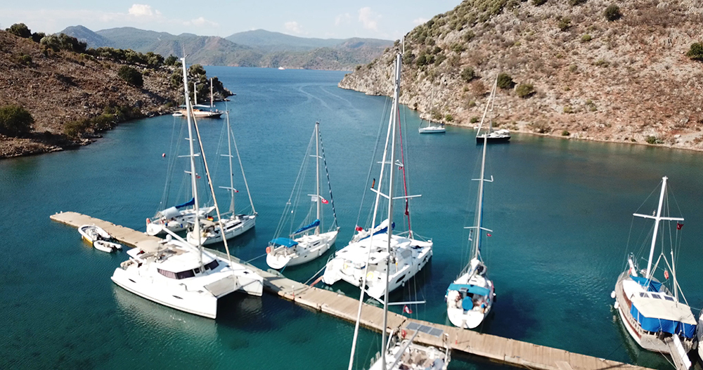
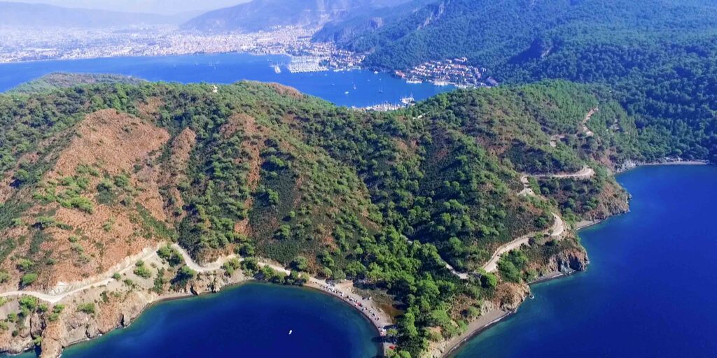
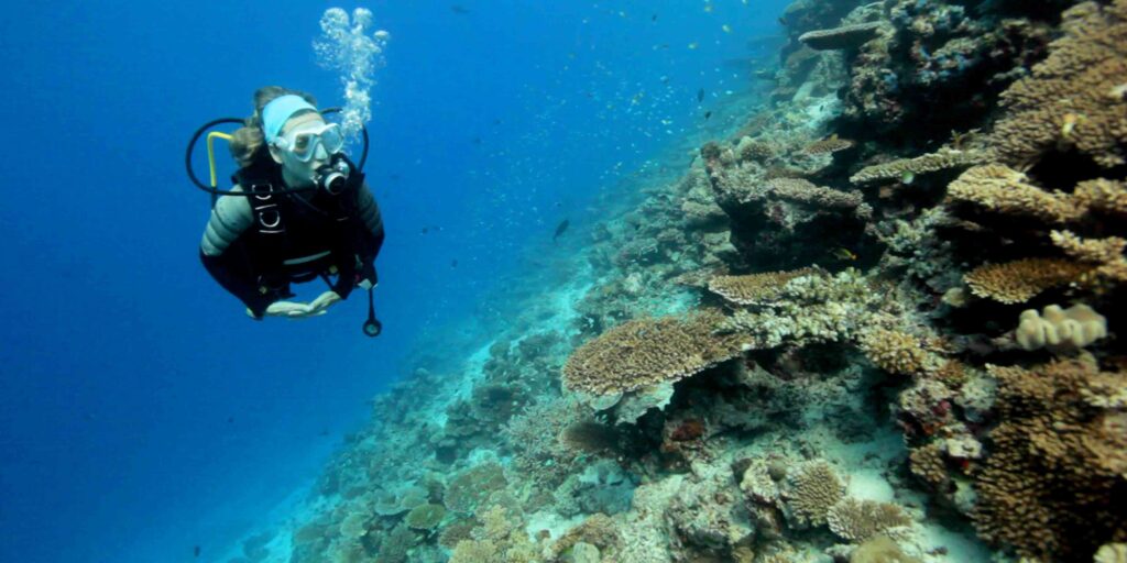
The area is rich in natural bays with turquoise waters, surrounded by pine forests. Just select a bay throw an anchor (Mediterranean mooring) and spend a whole day there.
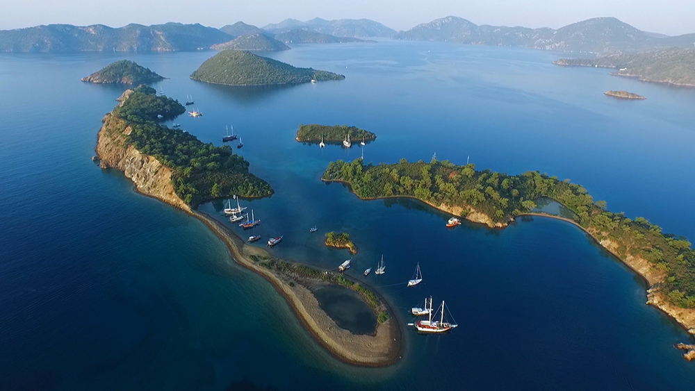
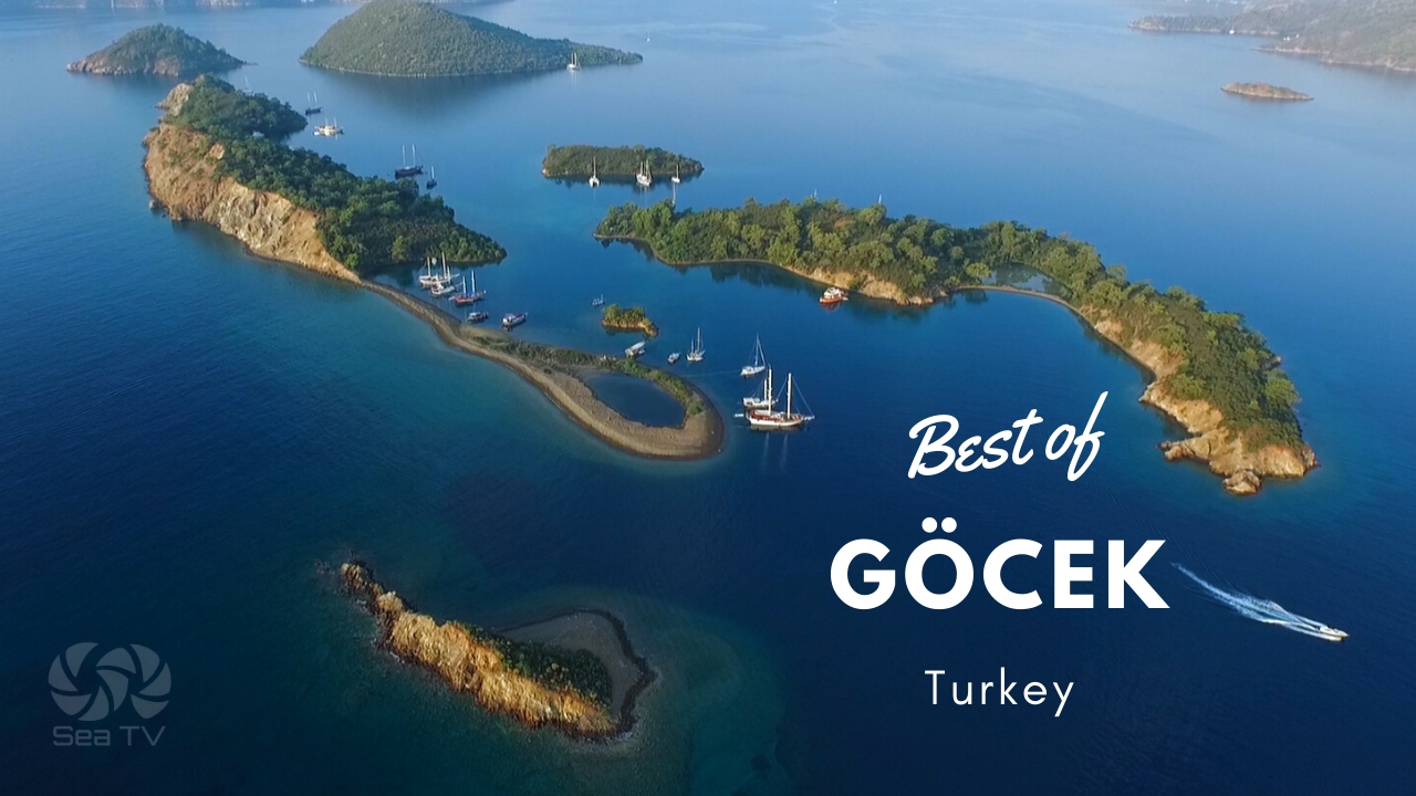
Yassica Adalari36°42’34.1″N 28°55’58.2″E
36.709465, 28.932836
An attractive bay with a sandy beach tongue.
A group of five small islands
Mediterranean mooring in a clear water
Bottom is sand
Boynuz bükü 36°42’38.9″N 28°53’40.4″E
36.710791, 28.894556
A large bay opposite Yassica Adalari
There is A Small floating platform in the bay with Mooring Lines.
The mooring is free of charge, but it is customary to eat in a restaurant.
Close to the shore its shallow5-10m
There is a river estuary in the bay, so there are also a lot of mosquitoes and bees, and it is worthwhile to bring mosquito repellent spray. The swarms of bees disappear right the moment the sun goes down.
Bottom is sand & mud
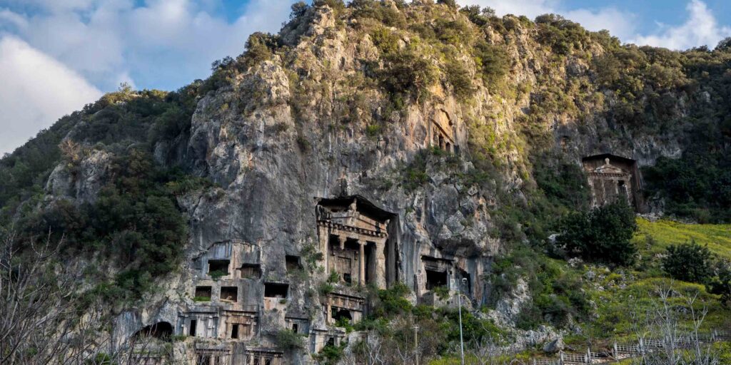
Tomb Bay 36°41’47.2″N 28°52’09.3″E
36.696446, 28.869242
Large bay with two restaurants
Just select your spot, throw an anchor (Mediterranean mooring), enjoy.
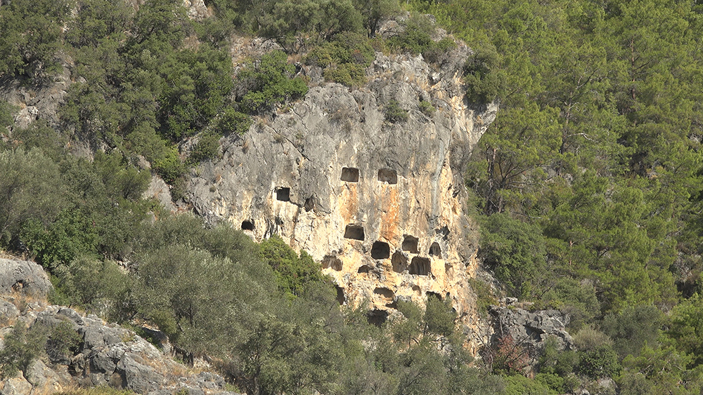
Scattered throughout the bay along the cliffs are stone-hewn tombs, a cemetery of the ancient Lycian town of Cyra. It is recommended to go on this trip, if not because of the tombs then at least for the view from above.
The bottom is sand, mud & rocks
Wall Bay 36°38’39.8″N 28°51’05.2″E
This bay has two long V-shaped piers, to which you can moor:long side on both sides (pay attention to the depths). The mooring is free of charge but it is customary to eat at the family restaurant in return. The father of the family plays for the restaurant guests in the evening. No electricity and water. You can go for a walk to the nearby bay Ruin Bay – about an hour walk marked with orange-yellow trails.
Ruin Bay 36°38’26.5″N 28°51’19.3″E
Hamam Koyu 36°38’26.7″N 28°51’18.1″E
36.640746, 28.855026
You can anchor in the bay(Mediterranean mooring); there is an archaeological site which is submerged in water, known as Cleopatra’s Hamam – “the bath of Cleopatra” – an ancient structure which, according to the myth, is a Roman bath built as a gift in honour of one of Cleopatra’s visits to the shores of Anatolia.
There are two platforms. Docking fee- Eating at the family restaurant. A good and inexpensive restaurant. There are toilets, no showers, no electricity and water. You can order fresh bread in the morning. Trip to the flag – do not give up the ascent up the hill to the flag, not a difficult walk, amazing view, need good shoes.