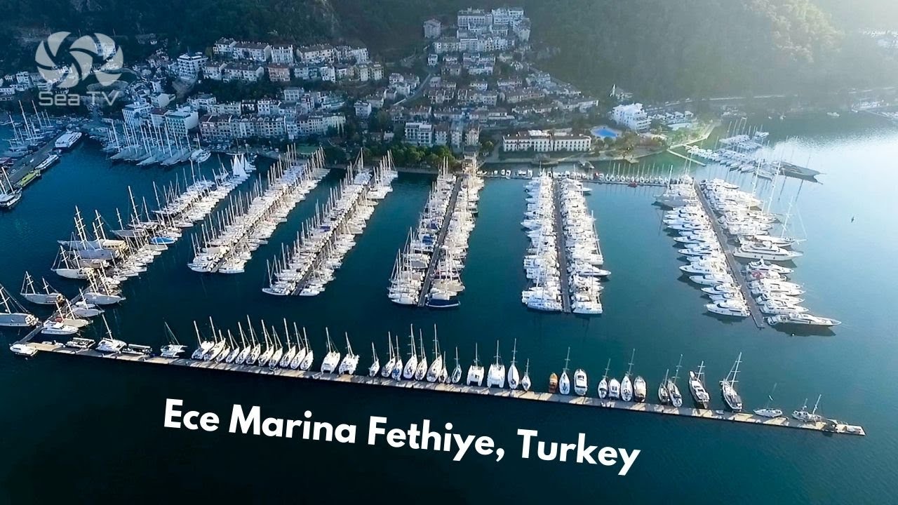
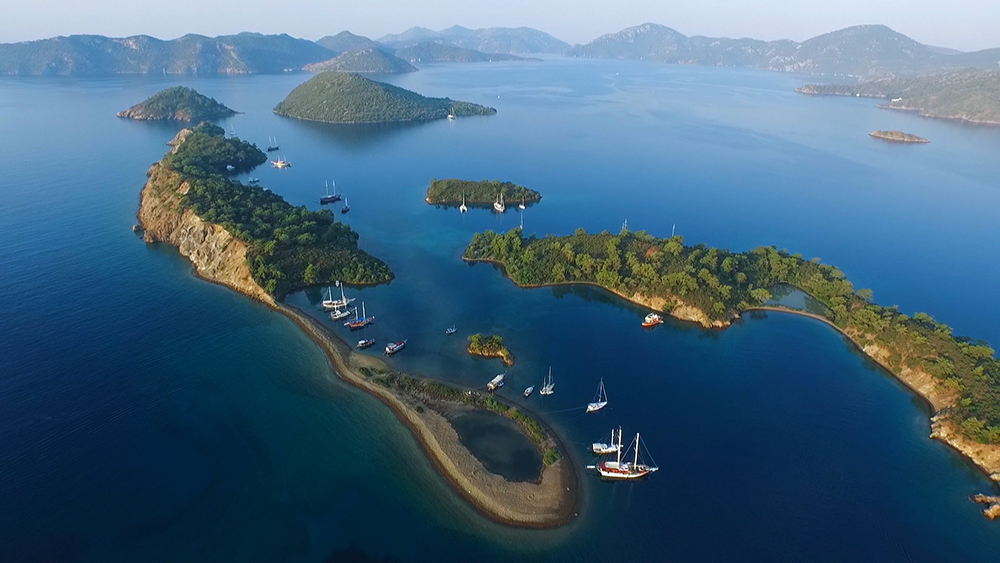
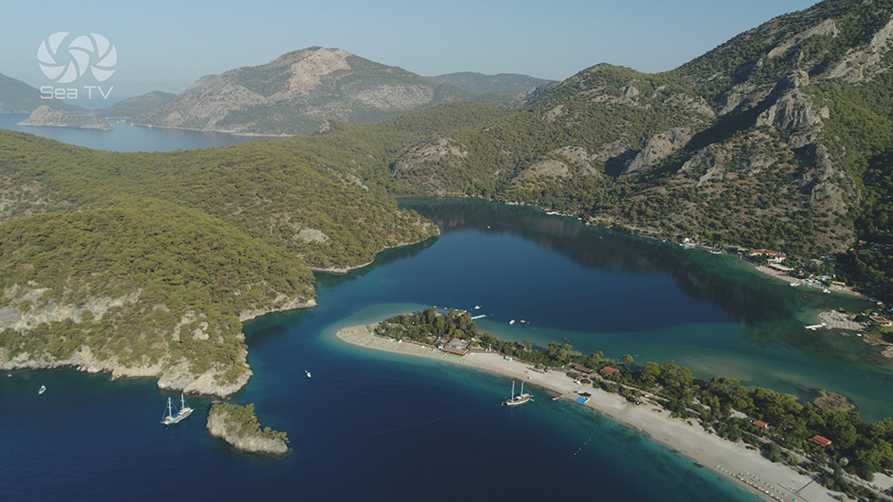
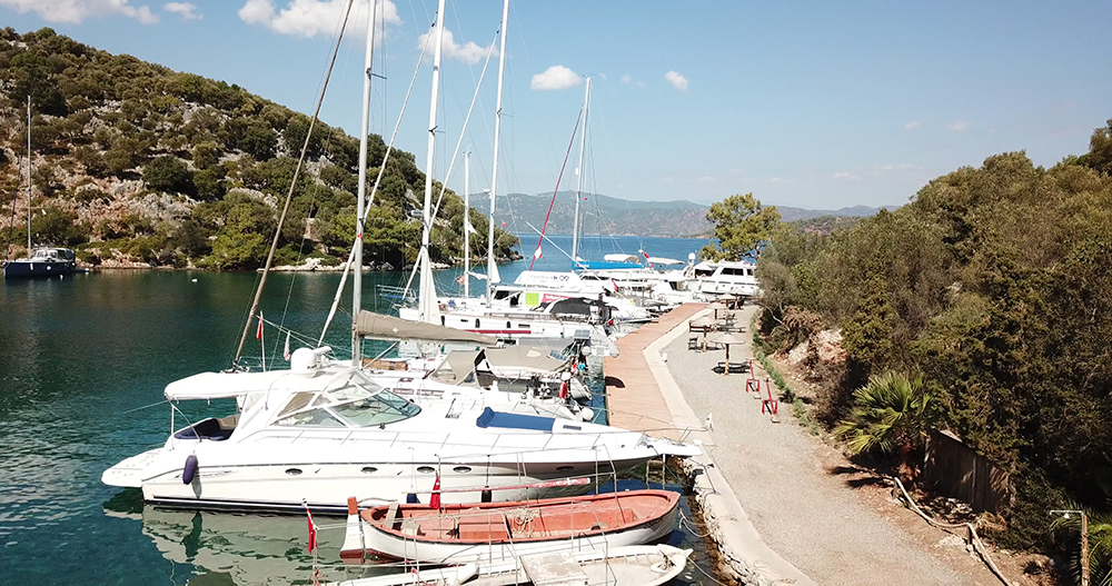
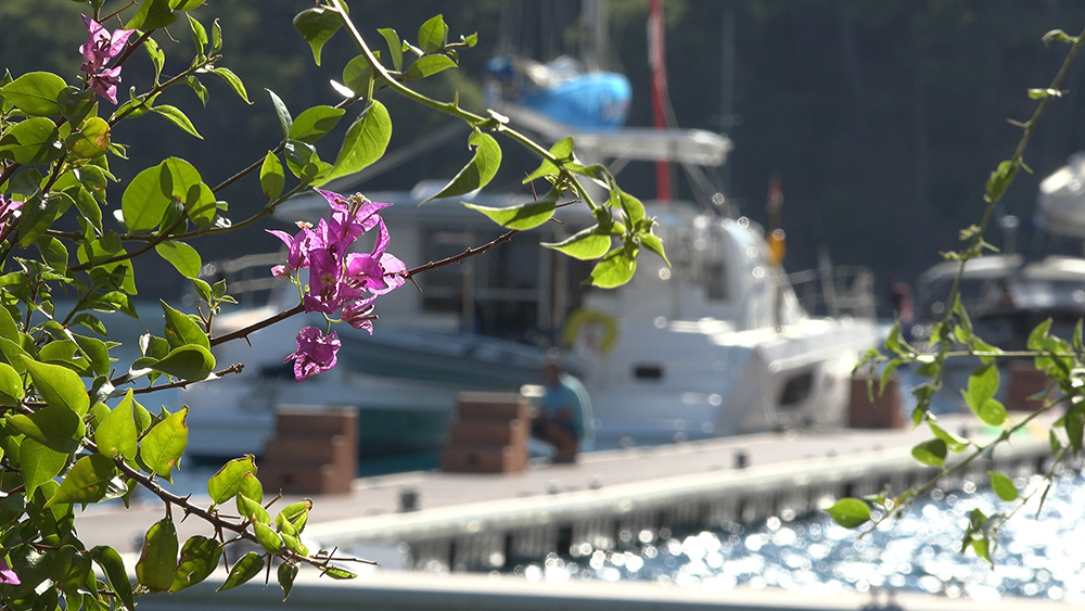
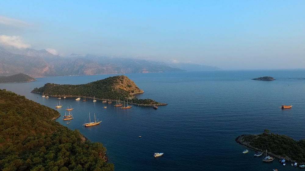
Gallery
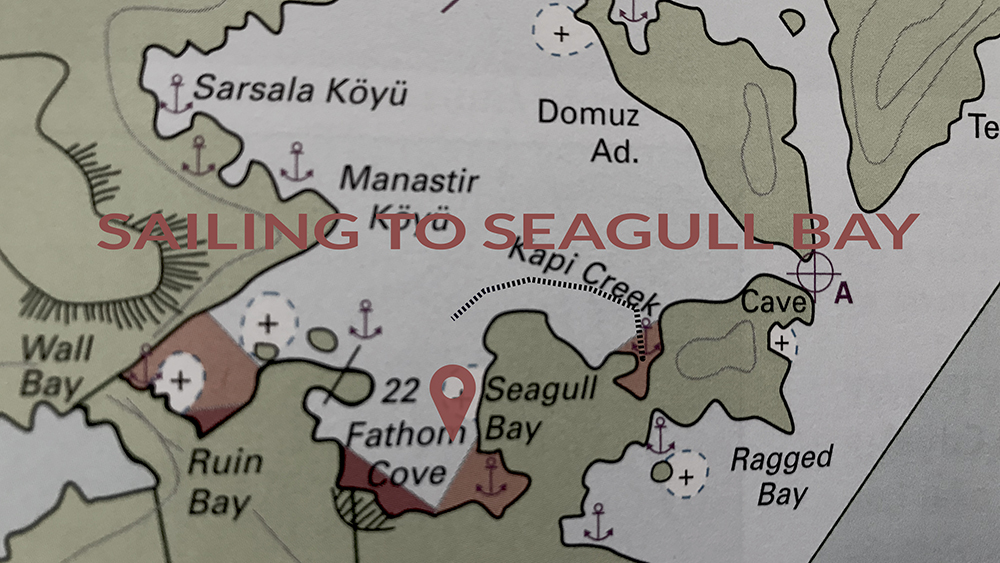
Chart
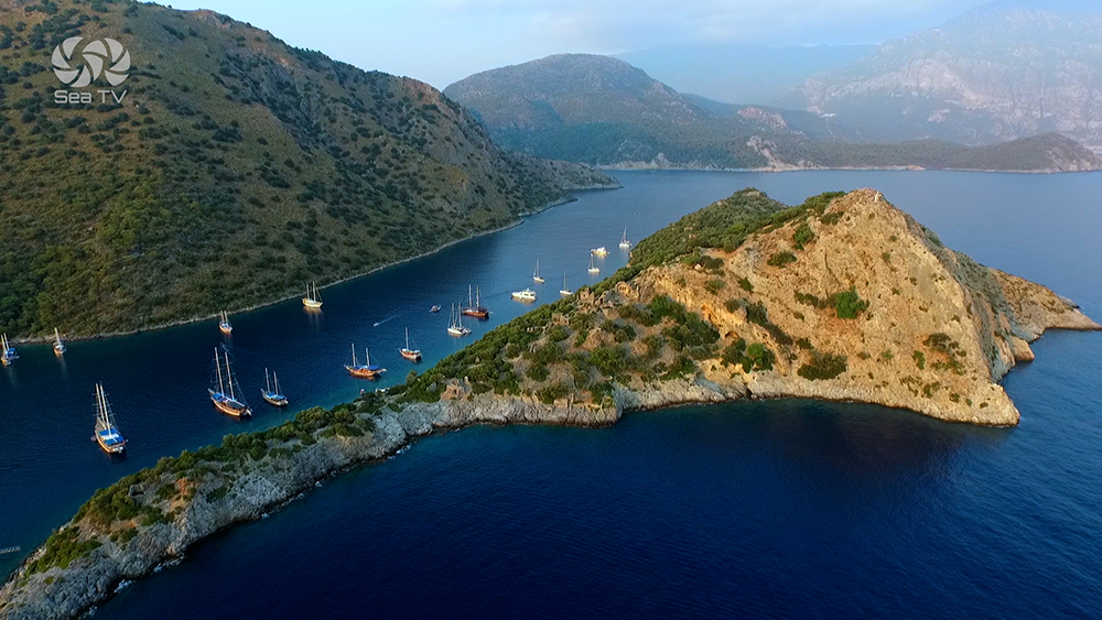
 Sailors tips
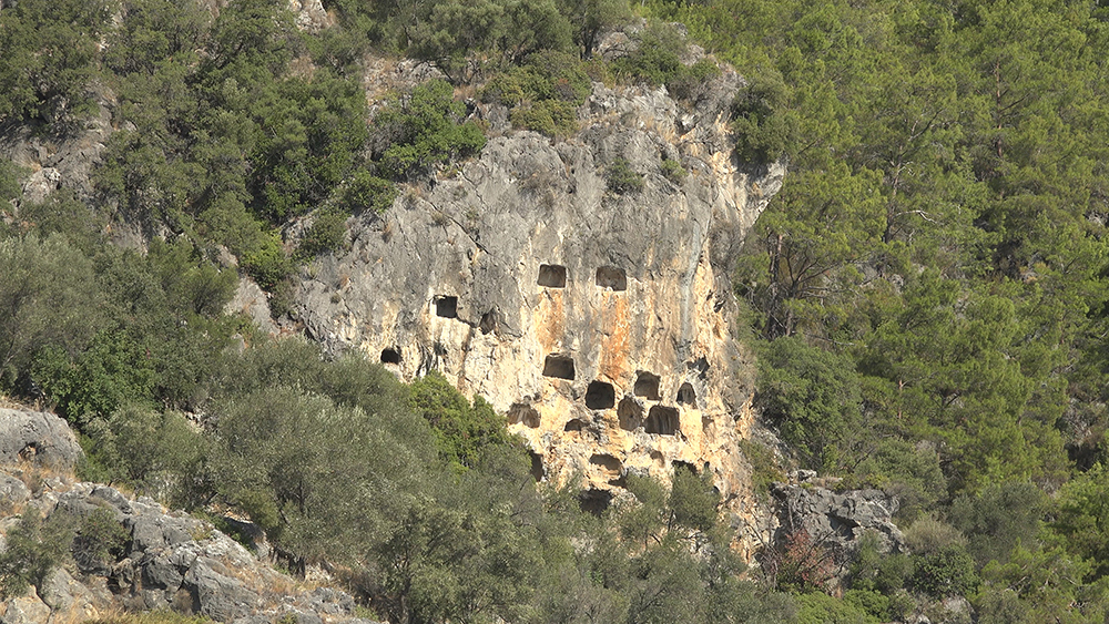
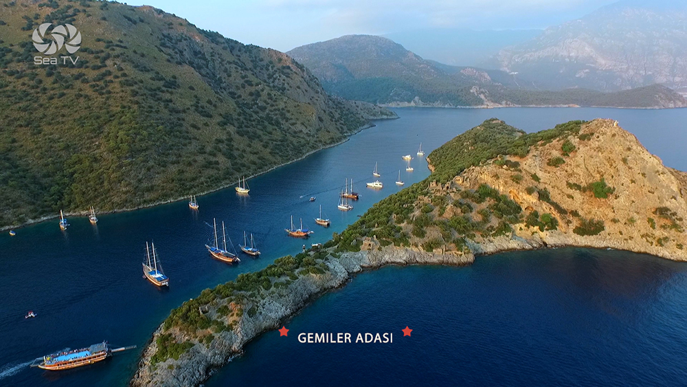
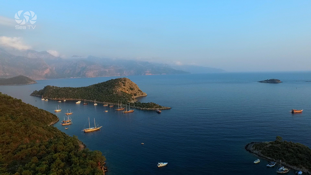
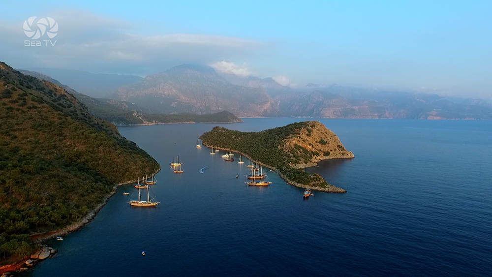
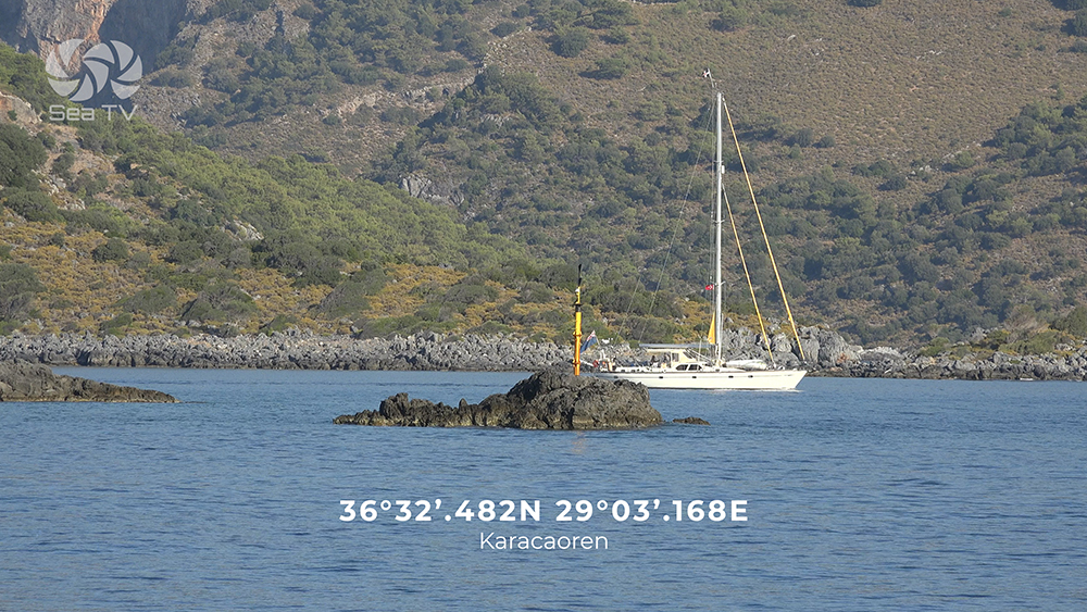
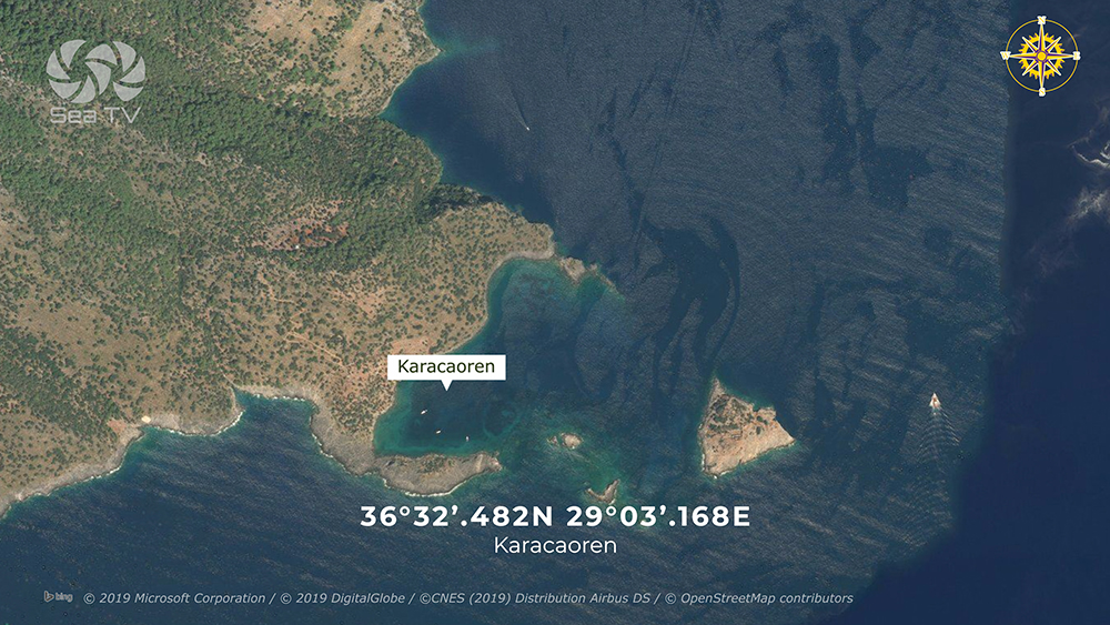
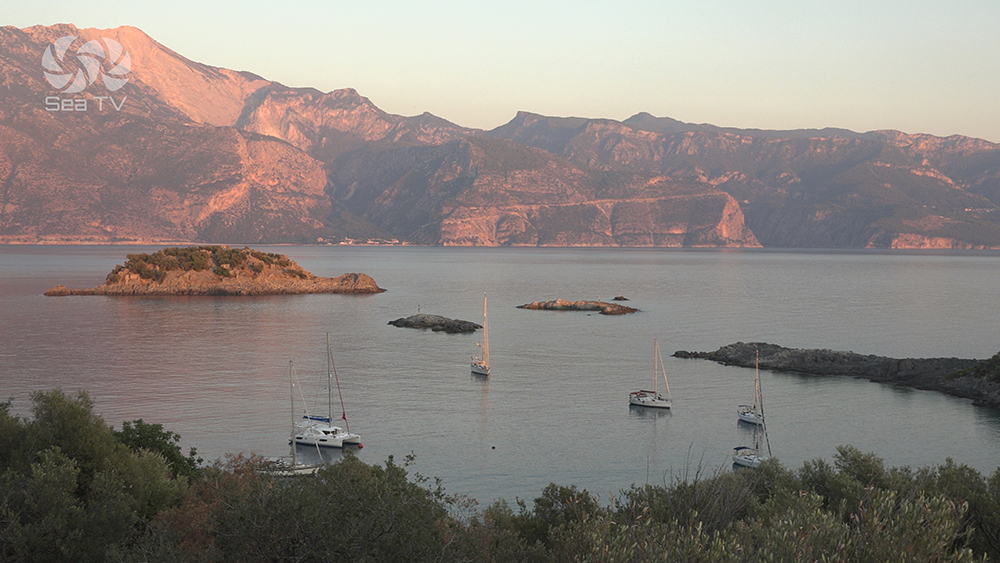
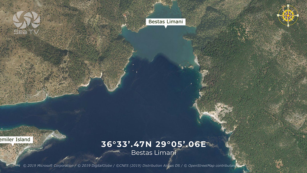
Karacaoren
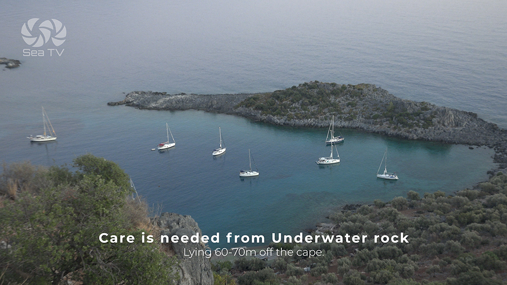
Care is needed from Underwater rock lying 60-70m off the cape.
Karacaoren
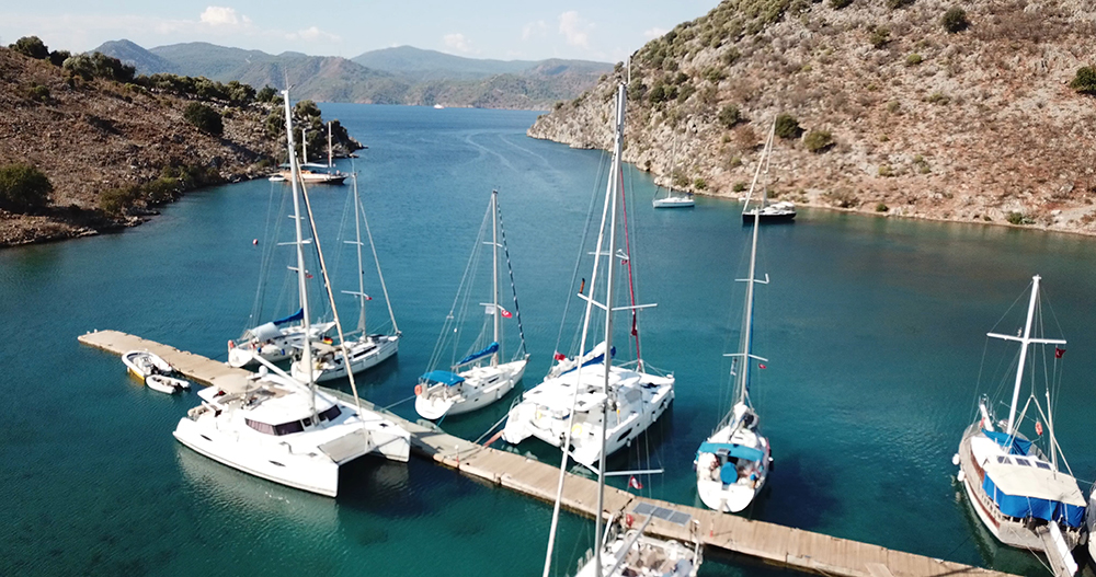
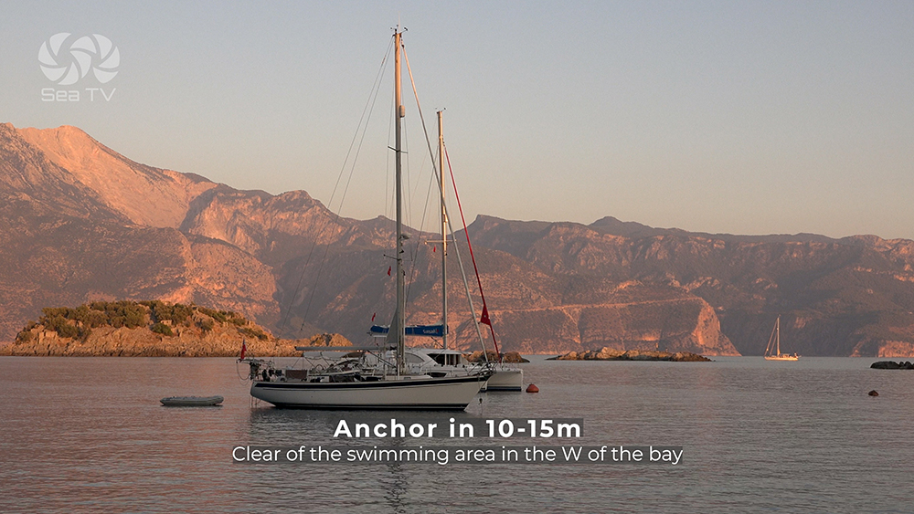
Anchor in 10-15m clear of the swimming area in the W of the bay
Sailors tips
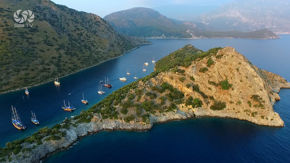
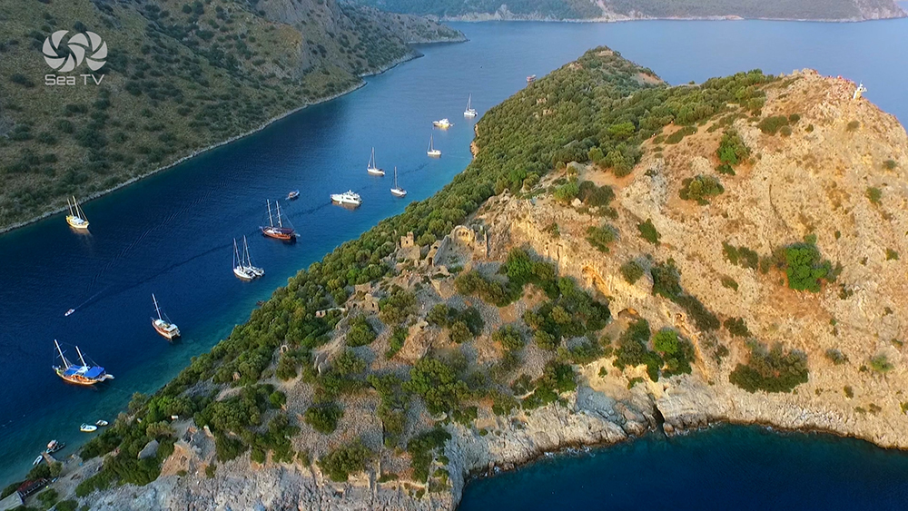
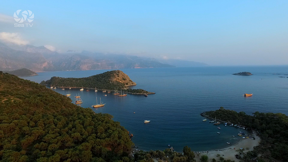
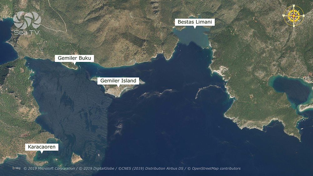
Karacaoren
Care is needed from Underwater rock lying 60-70m off the cape.
Karacaoren
Anchor in 10-15m clear of the swimming area in the W of the bay