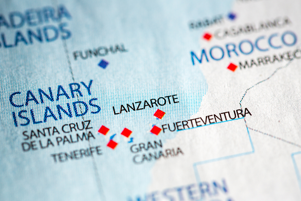
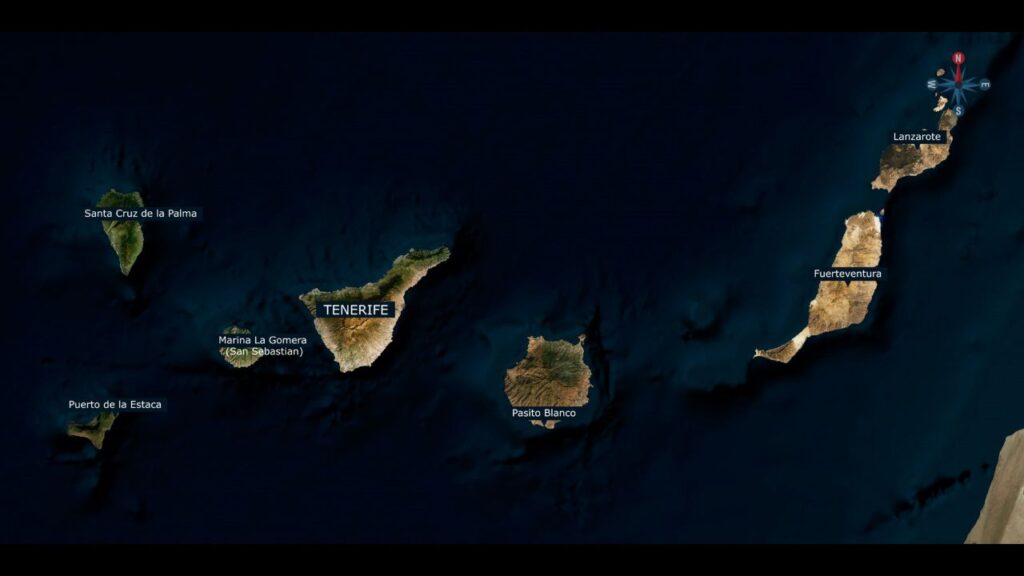
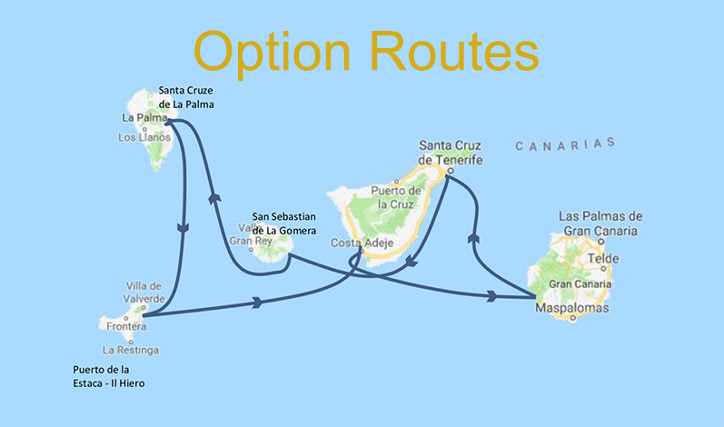
Sailing Area: Sailing around the Canary Islands
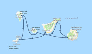
Option 1 – Sailing West (Tenerife, La Gomera, La Palma, El Hiero, Gran Canaria)
This is the more common approach for a one week sailing at the Canaries without need to extend into an overnight trip. These islands are almost equally separated calling for sailing routes of about 60nM daily. With average winds of 15-20 knots on a 45-50 ft yacht we can expect these daily trips to last about 8 hours.
Day 1 – Saturday, February 10, 2018 – Getting Started – for all options
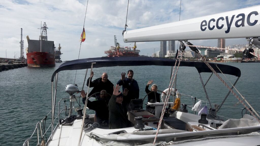
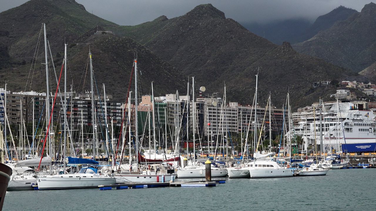
- Reaching Tenerife Radazul Marina early afternoon and receiving the boat 1.1. Get weather forecast and general instructions from XXX
1.2. Check boat facilities and systems - Journey to the local supermarket to purchase food and necessities for 3 days breakfast and lunch
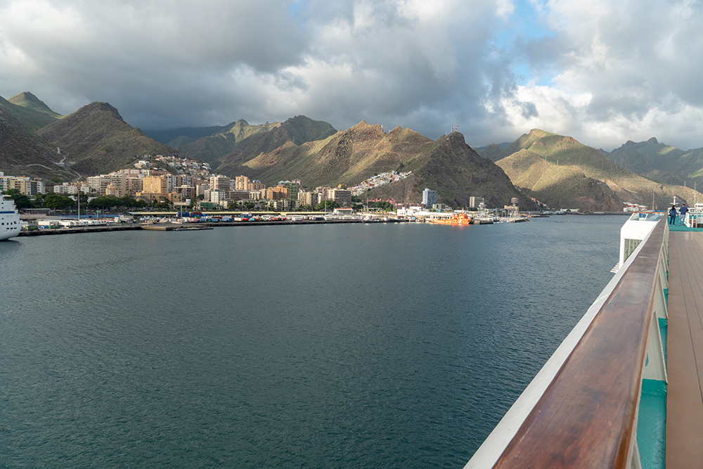
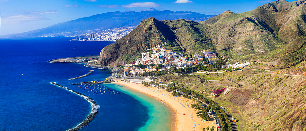
- At about 19:00 join the other teams to enjoy the festival at Santa Cruz de Tenerif
Day 2 – Sunday, February 11, 2018 – Radazul Marina to La Gomera
- Riding the Canary Current and the Trade Winds we will set sail along Tenerife east coast toward its southern tip.
- Shift course westward toward San Sebastian de la Gomera from where Columbus set off in 1492 to discover America.
3. Dock the boat in the marina, either at the reception dock or in an empty slip. The captain should report during office hours to the marina office. The office is located west of the marina. A 72 hour weather prognosis is displayed daily on the noticeboard outside the marina office.
Note:
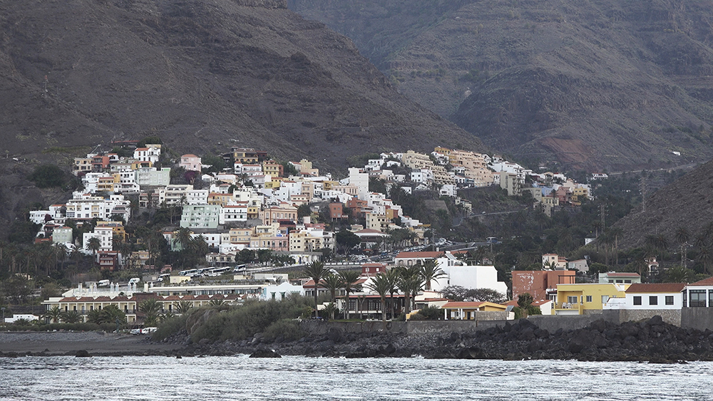
La Gomera is the second smallest island in the Canary Island group. It is a quiet, untouched island,originally populated by Berbers from the mountains of NW Africa Highlights
- The history – Columbus set off from San Sebastian in 1492, to discover America
- Known as the ‘most Canarian’ of the islands, with a friendly atmosphere
- The black-sand anchorages on the south coastBe aware
- Strongest tidal steams in the Canaries, up to three knots at times
- High peaks inland mean big variations in coastal windsDay 3 – Monday, February 12, 2018 – La Gomera to La Palma
- Encircling La Gomera CW to prevent from struggling the Canary Current and the NE trade wind we will set sail toward La Palma on the North West of the Canary archipelago
- We can choose to reach Santa Cruz de la Palma – This busy port is situated midway down the eastern shore of the island.
- 2.1. It is mandatory that visiting yachts call La Palma Port Control on VHF channel 06 when two milesout for permission to enter. They must also be contacted prior to departure.
- 2.2. Arriving yachts should proceed into the new marina.
- Another option is to sail to Tazacorte, a quiet town situated on the west side of La Palma and claims to be the warmest place on the island.
- 3.1. Puerto de Tazacorte is the fishing port and has a long promenade, a black sand beach, narrowstreets lined with colorful old houses and many bars and seafood restaurants
- 3.2. Docking – The harbor is now protected by a large, new breakwater making the entrance much safer, even with a large westerly swell. This breakwater also minimizes any swell entering themarina. There is now a modern marina inside this harbor
Notes:
La Palma Highlights- Springs give the island lush vegetation
- The largest volcanic crater in the world (16 miles across)Be aware
- Volcanoes are still active, having erupted in 1949 and 1971
- Volcanic rocks and debris make anchoring difficult
- The Canary Current is strongest here, reaching 2 knots at timesDay 4 – Tuesday, February 13, 2018 – La Palma to El HieroEl Hiero is the most unspoiled island by far giving a real ‘end of the world’ feel. There is not much to see at El Hiero so decision on sailing there will depend mainly on weather and whether the crew wishes to spend more time at La Palma
- Sailing out of Santa Cruz de la Palma or from Tazacorte we will head south to reach Puerto de la Estaca at about 55 nM destination. This port lies on the east coast of the island, towards the northern end
- There is no reception dock at this marina so you should call on VHF Ch 9 prior to entering to receive
mooring instructions.
Highlights
- The most unspoilt island by far gives a real ‘end of the world’ feel
- The staggering 1,000m (3,280ft)-high cliffs (once a volcano’s lip) around El Golfo Be aware
- Tidal rip off the southern point, La Restinga
- Not many facilitiesPuerto de la Estaca – There is nothing particularly attractive about it, however the port is now more yacht-friendly with floating pontoons installed and basic services.Day 5 – Wednesday, February 14, 2018 – El Hiero to South West Tenerife
- Sailing east from El Heiro and avoiding the WAZ south of La Gomera we will aim to reach a marina on the south-west coast of Tenerif – Puerto Colon, Los Gigantes or Marina San Miguel.
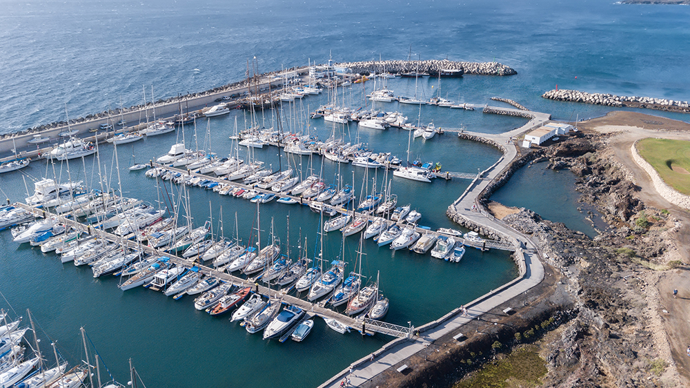
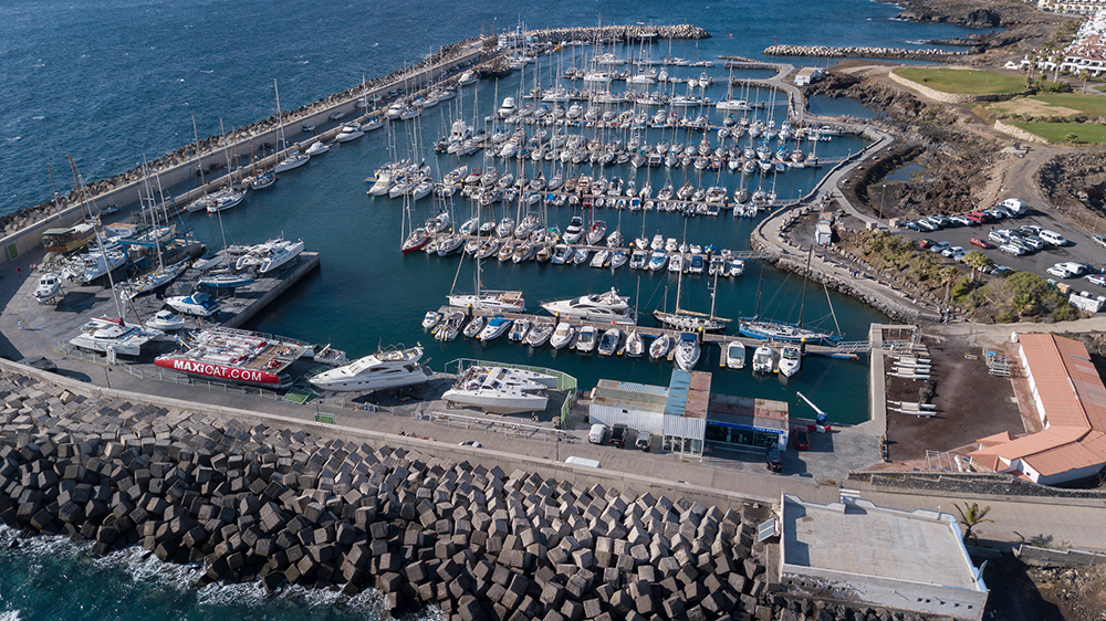
- 1.1. Puerto Colon – The curved breakwater gives good protection to the small harbour, and anesplanade and pier make it a pleasant place for an evening stroll. As the marina is usually full, oneshould only arrive after having received confirmation of a vacancy on VHF Ch. 9.
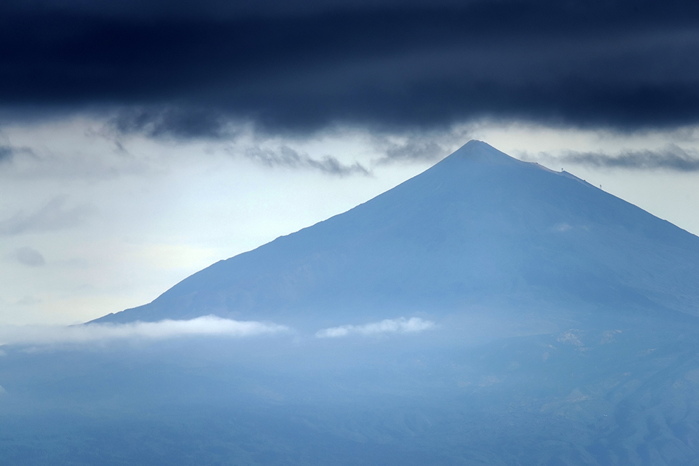
- 1.2. Los Gigantes – this marina has 370 berths and its location opposite the island of La Gomera under the cliffs of Mount Teide makes this an ideal base port to enjoy sailing between the two islands. The marina monitors VHF channel 9 permanently and skippers are advised to call up the harbor before entering. It is not advisable to enter outside office hours as the Marina will not be able to advise on a safe approach to the visitors’ berths because of constantly moving sands inside theharbor.
- 1.3. Marina San Miguel – this marina provides for 340 berths. Access from the sea is easy, and themarina is reported to be well protected in most conditions although the wind is often abeam whenmaneuvering into the tight berths.
- The sea area south west of Tenerife is known to be live with marine activity with whales, dolphins andlogger-head turtles among other species.
Day 6 – Thursday, February 15, 2018 – South West Tenerife to Gran Canaria
- The destination to take this day relies of the weather as we will have two days to reach Radazul and in bad weather we should not try to reach Gran Canaraia and then back to Tenerife.
- If Weather is good we will sail toward the south- west coast of Gran Canaria
- 2.1. Note the need to cross the WAZ near the east coast of Tenerife and then near the west coast ofGran Canaria
- 2.2. In addition we should also note the bathometric structure near Gran Canaria that can cause roughsee over a substantial distance
- When getting near Gran Canaria we should seek mooring in one of the numerous marinas on thesouthern west coast of the island
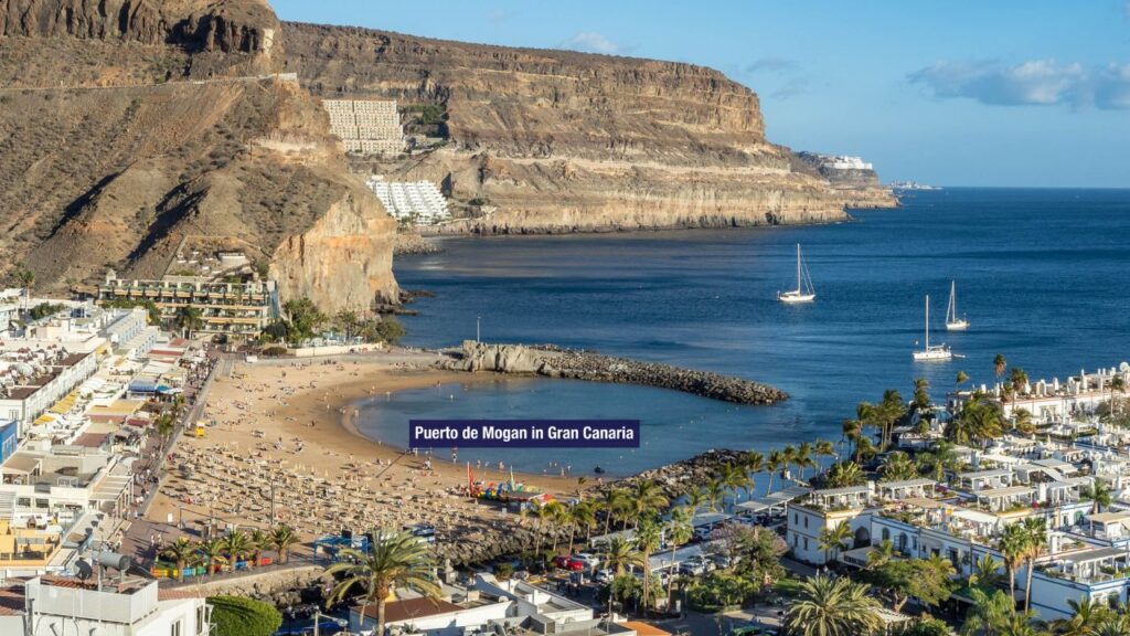
- 3.1. Puerto de Mogan – A delightful port described by some as a “Little Venice” with restaurants, abeach, swimming and lots more. The port monitors VHF channel 12 at all times, and uses channel 6 as a working channel. Arriving boats should come alongside the reception dock on the starboard side at the entrance to the marina.
- 3.2. Puerto Rico – This is a purpose-built resort on the south west coast of Gran Canaria. There are two well-protected harbours either side of a large common breakwater. The eastern harbour, Puerto Base, is for visiting yachts, while the western harbour, Puerto Escala, is used mainly by local craft. The marina is usually full so it is best to phone in advance to find out if there is any space available. The office (Tel.0034 928 561141) is open permanently and monitors VHF channel 8 at all times.
- 3.3. Pasito Blanco – a holiday resort on the south coast of the island, approximately halfway between Arguineguin and Maspalomas. Pasito Blanco Marina keeps a 24-hour listening watch on VHF channel 6. The marina is fairly isolated, which for some people is its main attraction.
Day 7 – Friday, February 16, 2018 – Gran Canaria to Tenerife
- This is our last of the sailing trip and we should reach Radazul marina by not later than 18:00.
- The route to Tenerife is an S shaped in order to cross the WAZ both near Gran Canaria and Tenerife. Wewill sail north just between these two islands.
- As the route is calling for head wind and current one should assume long trip although the distance isonly about 56 nM.
- Note the need to cross commercial Traffic Separation Scheme between Gran Canaria and Tenerife
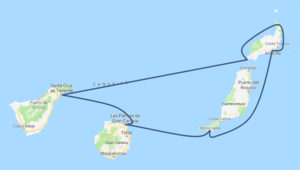
Option 2 – Sailing East (Tenerife, Lanzarote, Fuerteventura, Gran Canaria)
This option calls for an extended first leg of about 130 nM in north-east direction. Sailing this direction willbe against the Canary Current and with head-on winds so tacking might be required.
Decision on taking this option will first be based on weather forecast. A drop of 10 millibars or more, because of low pressure north of the Canaries replacing the usual high pressure over the Azores, will cause a southwest gale of 35 knots or more. High pressure over the Sahara, indicated by barometer rising to 1030mb or more, will bring strong easterly Sirocco.
Day 2 and 3 – Sunday and Monday, February 11-12, 2018 – Radazul Marina to Lanzarote
- We will sail east out of Radazul and after crossing the WAZ near the coast of Tenerife we will take course to the southern tip of Lanzarote. The actual route will mainly depend on the wind that we will encounter.
- When nearing the south coast of Lanzarote (early morning of Monday, February 13) we should call the following marinas to check for berth:
- 2.1. Playa Blanca – this former fishing harbor has some floating pontoons but most spaces are taken upby local boats so visitors have little chance of finding space. The harbor has no outlying dangers,and the entrance, open to the east, is straightforward once the end of the mole has been located.
-
450 berths. On arrival yachts should contact the marina on Channel 9 before entering the port. An attendant will wait on the reception dock and allocate a slip and help dock the boat with an inflatable dinghy.
3. If weather permits we can head north from Radazul to the islet of La Graciosa on the north tip of Lanzarote – 160 nM leg. This will provide us with some time to explore the beautiful shores of the islet.
Notes
Marina Rubicón is the southernmost marina in Lanzarote, situated between the natural monument of los Ajaches and Playa Blanca. The marina sits in the heart of the tourist centre of Playa Blanca but is generally quieter than many other tourist resorts.Highlights
- Has two of the archipelago’s most popular marinas, both on the protected south coast: PuertoCalero and Marina Rubicon
- Incredible landscapes of barren lava inland
- Strict building controls mean it’s relatively unspoiltBe aware
- Big Atlantic swells on the west coast
- Sand intermittently blown from the SaharaDay 4 – Tuesday, February 13, 2018 – Around Lanzarote
- If the route from Tenerife will take us to Marina Rubicon or Playa Blanca then on this day we will encircle Lanzarote in a CW direction, sailing along the west coast of the island up to Estrecho del Rio, the strait between Lanzarote and La Graciosa.
- 1.1. We can stop for a short break at Caleta del Sebo (La Graciosa), there are pontoons for visitingyachts both on the SW side of the port and parallel to the eastern breakwater.
- 1.2. We will then continue south along the east coast of Lanzarote down to Marina Lanzarote atAreciffe (the capital of the island) or Puerto Calero.
- In case we headed yesterday straight to La Graciosa then we may have time to survey Caleta del Sebomore thoroughly.
2.1. We will sail to the south end of Lanzarote. Sailing along the east coast of Lanzarote we will passAreciffe and may stop at Puerto Calero or Marina Rubicon.
Day 5 – Wednesday, February 14, 2018 – Along Fuerteventura
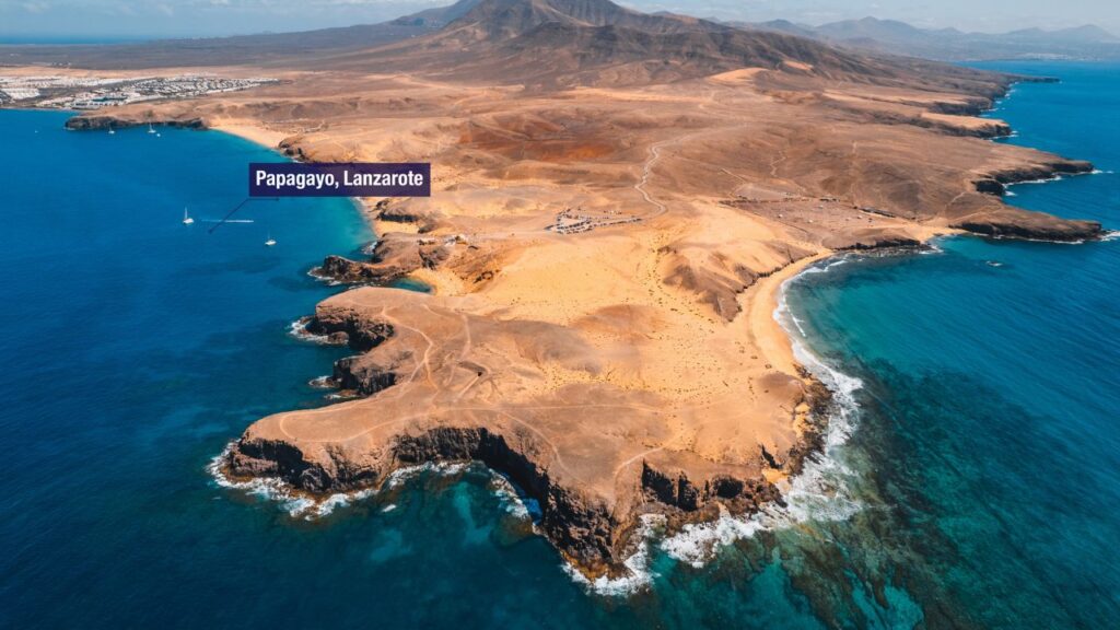
- Riding the strengthen winds around the southern tip of Lanzarote we will sail south toward Isla de Lobos , north east of Fuerteventura. This is a small islet part of a national park and is thus unspoilt.
1.1. Note: in high northerly winds one should avoider sailing near the north/east dangerous shores ofFuerteventura. - We will continue along the east coast of Fuerteventura down to Morrow Jable where a new marina wasbuilt in recent years.
Notes Highlights
- African feel with sand dunes, cacti, palm trees and wide plains
- 152 beaches
- Year-round sunshine due to proximity to AfricaBe aware
- Uncomfortable seas where the one-knot Canary Current meets the tide or contrary winds
- Marine facilities are more low-key than Lanzarote2.2. Marina Rubicon – located one mile to the east of here and is much better suited to cruising yachts. Marina Rubicon is a place integrated within natural surroundings with a unique beauty and over Morro Jable – This is a lively tourist destination on the south western corner of the island. It has great sandy beaches. A marina has now been created here.
- When approaching from the east, yachts first pass the long sandy beaches, then hotels and apartment buildings to the east, and finally the massive breakwater comes into view.
- When approaching from the west, Punta Jandia should be given a wide berth to avoid some shallow patches.The harbor/marina is divided in two sides: western and eastern. The western side of the harbor has plenty of room with 2 pontoons, however there is no electricity or water on this side. There are rocks to the north which are close to the surface so take care. This side of the harbor is close to the beach and walking paths into the mountains.The eastern side of the harbor has water and electricity available and it’s possible to top up water tanks by jerry can or by moving the boat to a berth on the eastern side for a short period of time (check with the port authority). There is also a fuel station on the eastern side and toilets next to the port office.Day 6 – Thursday, February 15, 2018 – Morrow Jable to Gran Canaria
- Today we will sail out of Morrow Jable and ride the trade winds easterly toward Las Palmas de Gran Canaria.
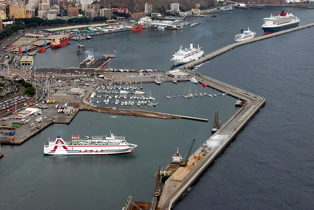
- Puerto de la Luz y Las Palmas, to give its official name, is a busy commercial port. It lies on the NE corner of the island. The yacht harbor, Muelle Deportivo, lies at the southern end of the main harbor and is administered by the Port Authority (channel 16 or 10). This is the home of the Atlantic Rally for Cruisers (ARC) which departs from Las Palmas for St. Lucia in the Caribbean every November.
- The entrance into the marina is hard to detect and the situation is made more confusing by the entrance being marked by two red flashing lights. The one to be left to starboard being located at the eastern end of the northern breakwater, the other (port side) at the northern end of the main (southern) breakwater. Vessels should favor the starboard side of the narrow entrance as the port side is fouled and shallow.
Day 7 – Friday, February 16, 2018 – Gran Canaria to Tenerife
- This is our last of the sailing trip and we should reach Radazul marina by not later than 18:00.
- The route to Tenerife is straightforward – encircling La Isleta cape on the north east of Gran Canariaand taking west route directly to Radazul
2.1. Note the need to cross commercial Traffic Separation Scheme between Gran Canaria and Tenerife
Chart
Docking & Anchorages
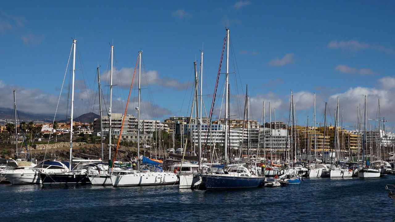

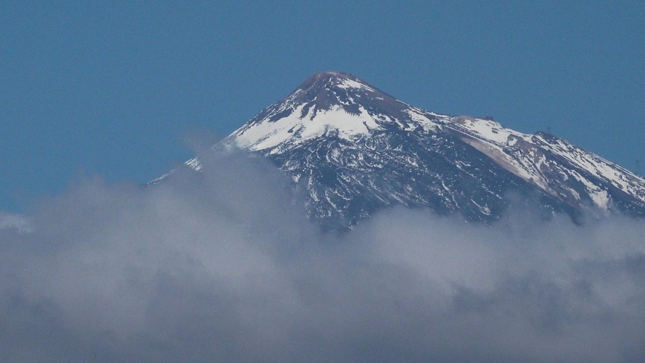
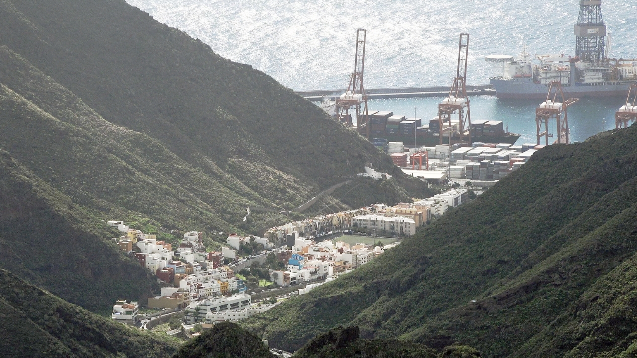
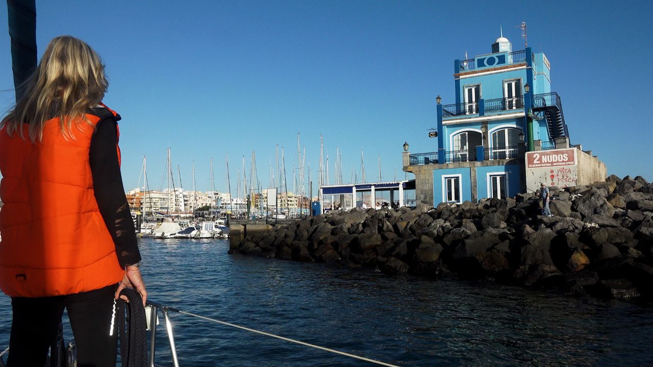
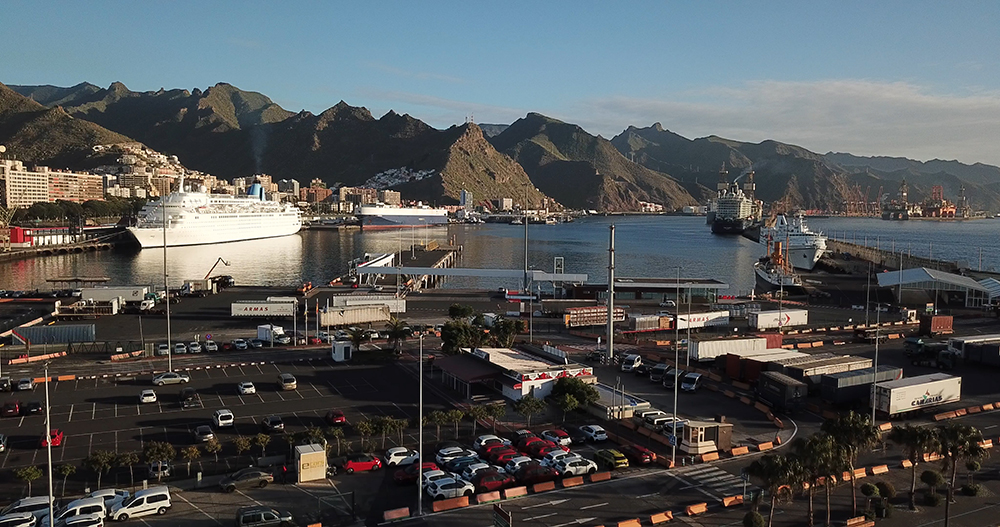
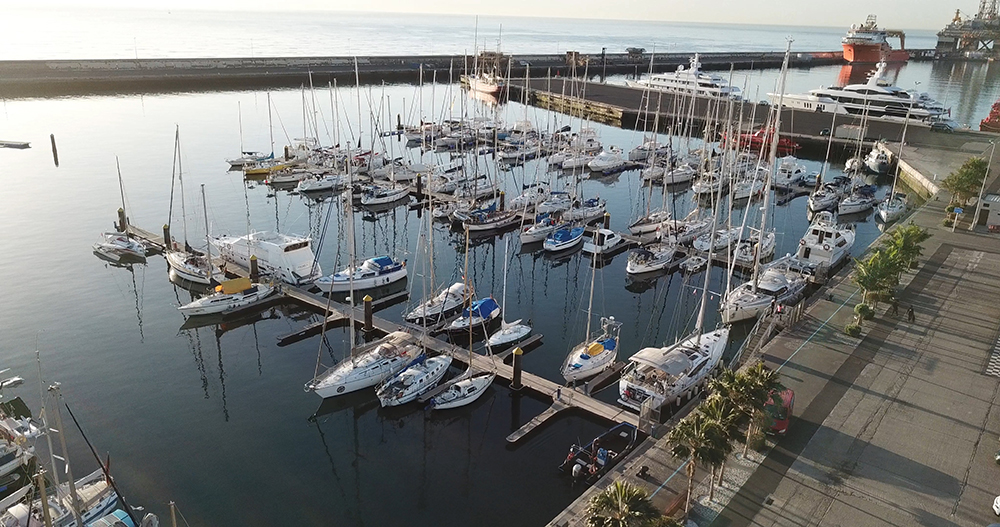
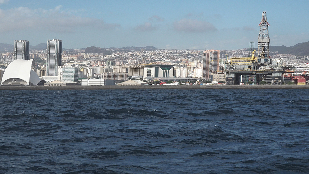
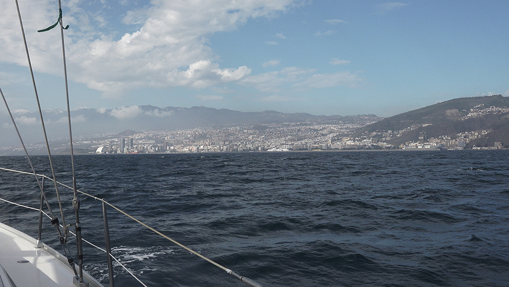
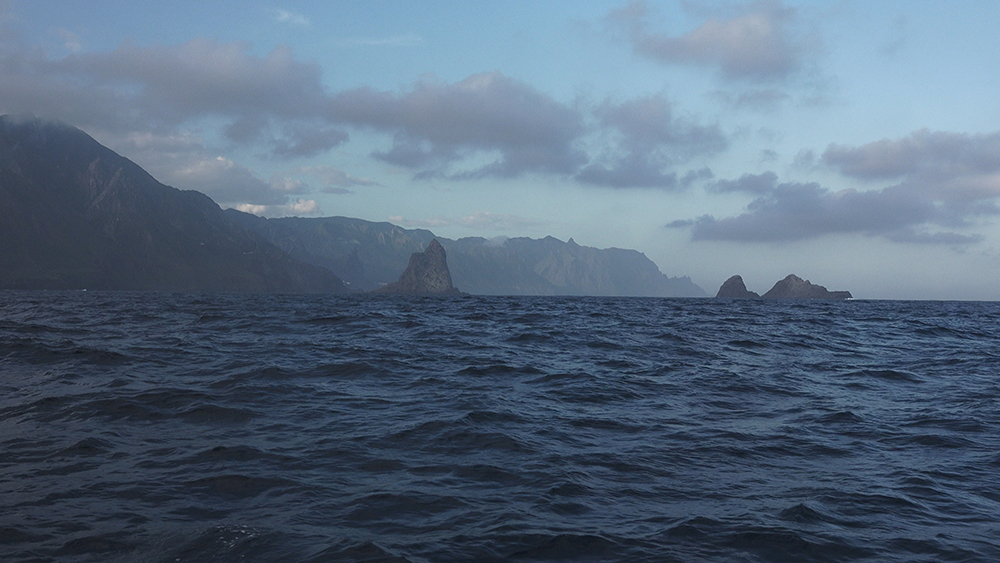
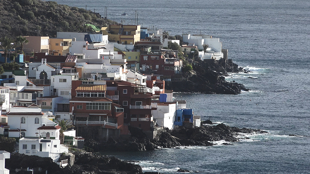
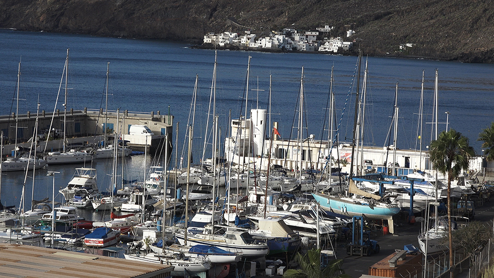
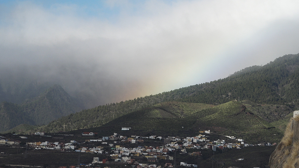
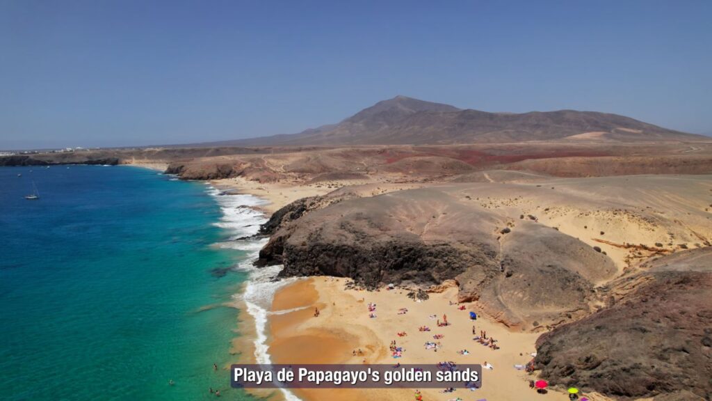
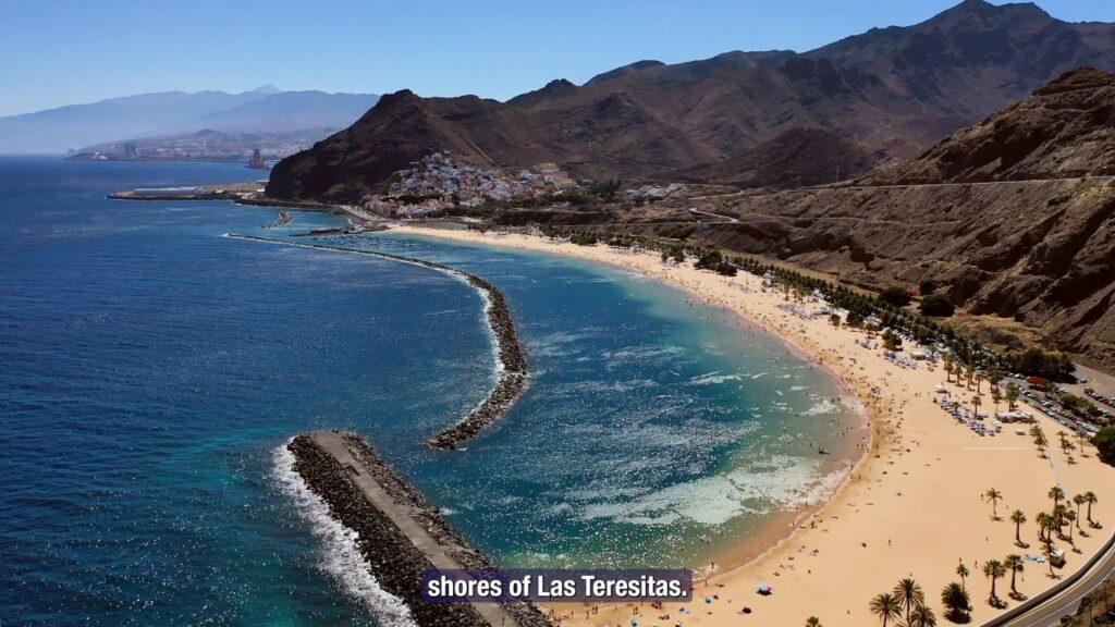
Gallery